Elevation of Morgans Fork Rd, Peebles, OH, USA
Location: United States > Ohio > Pike County > Benton Township >
Longitude: -83.180747
Latitude: 39.1130043
Elevation: 182m / 597feet
Barometric Pressure: 99KPa
Elevation Map:
Satellite Map:
Related Photos:
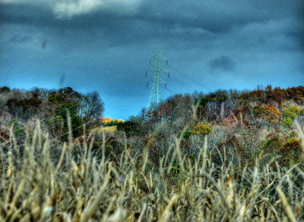
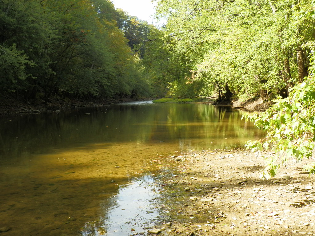
View from Chenoweth Fork Valley
Paint Creek Valley, Looking Northeast — Bainbridge, Ohio
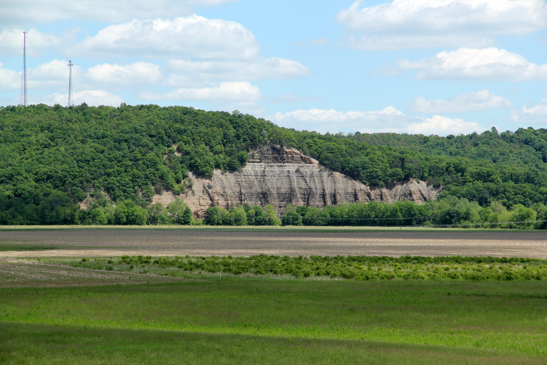
Cliff, Copperas Mountain — Twin Township, Ross County, Ohio
Paint Creek Valley, Looking North — Bainbridge, Ohio

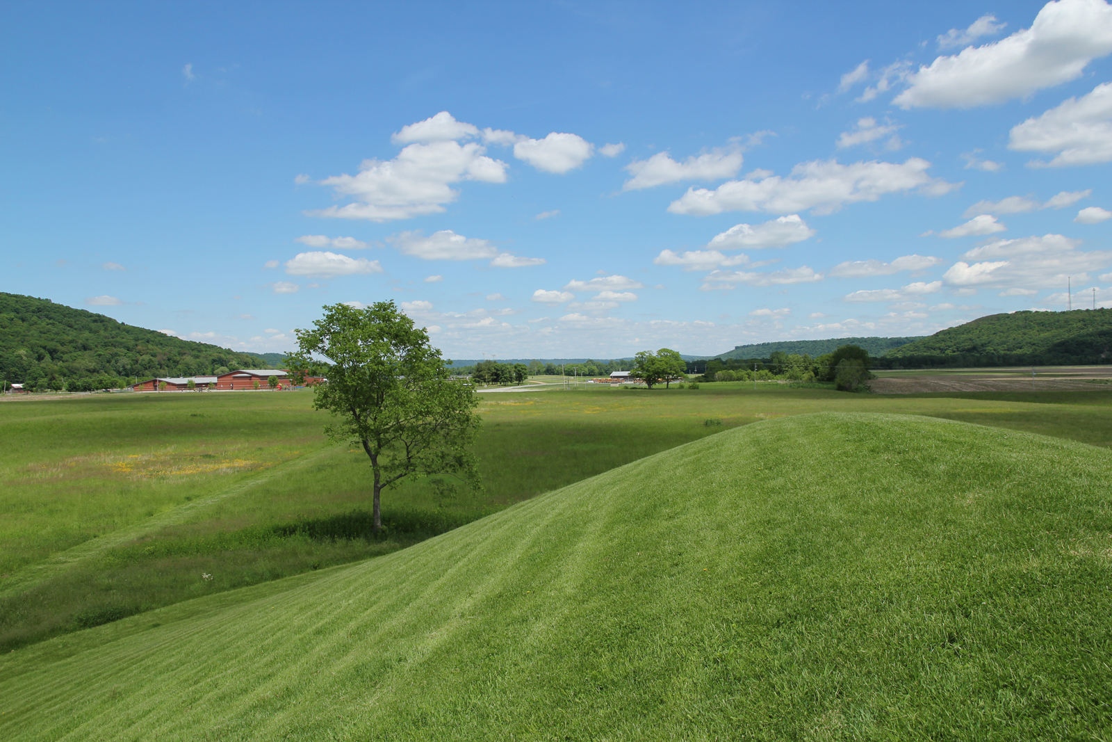
seim earthworks view
Union Hill Church
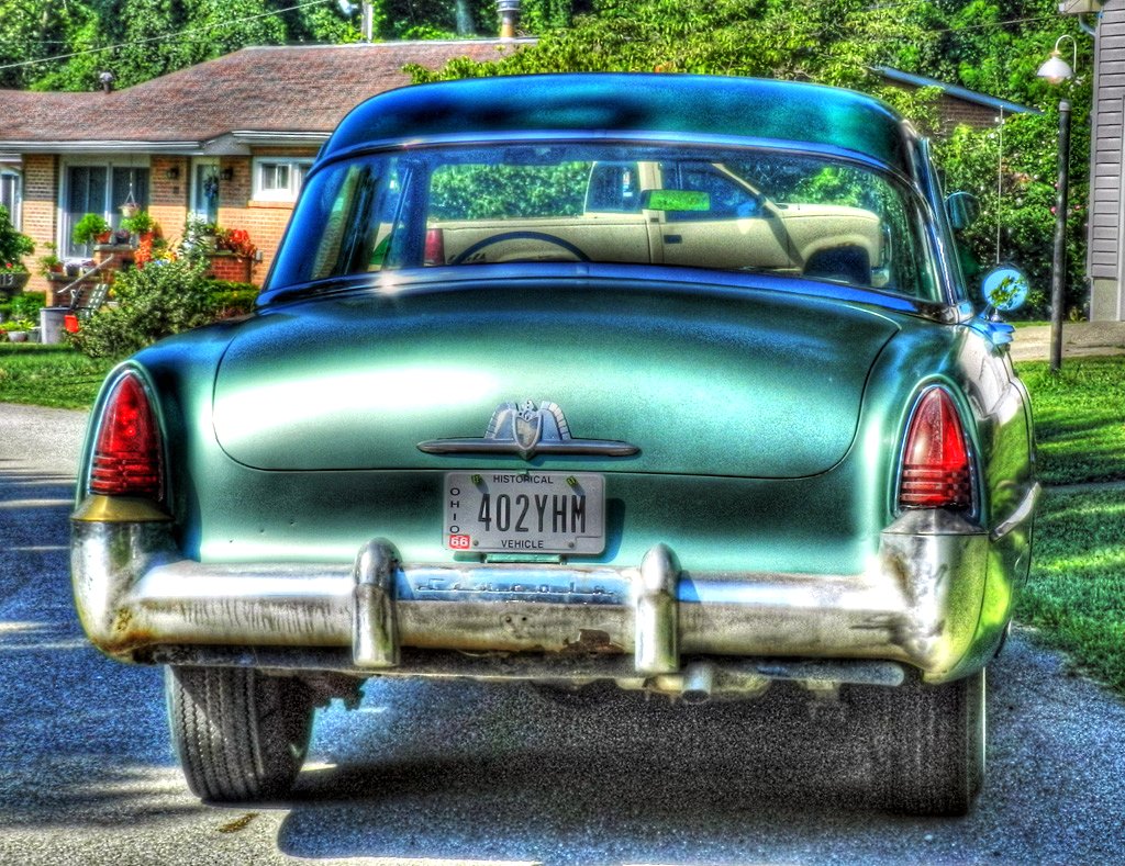
1953 Lincoln Capri
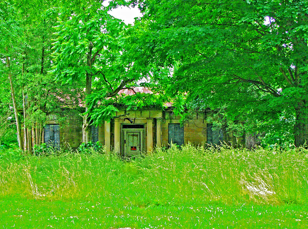
Jones-Cutler Historic House
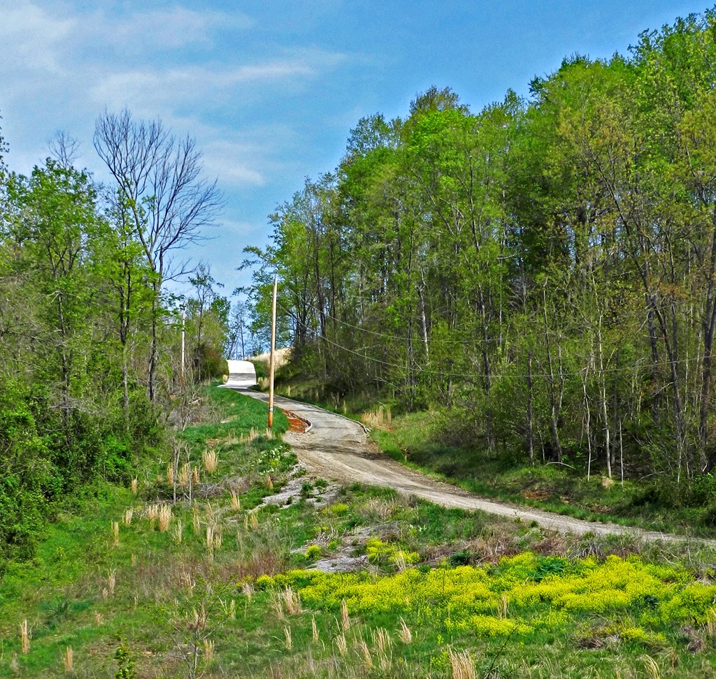
Long Driveway in Appalachia
View in Piketon
Colored Canvas
Bainbridge, OH
Pike Lake: Upward View in the Tree
more flood
Ancient Works near Piketon, Ohio

Pike Lake
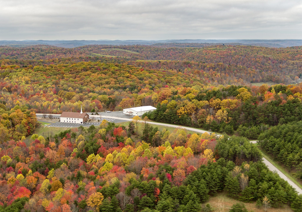
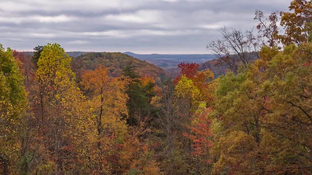
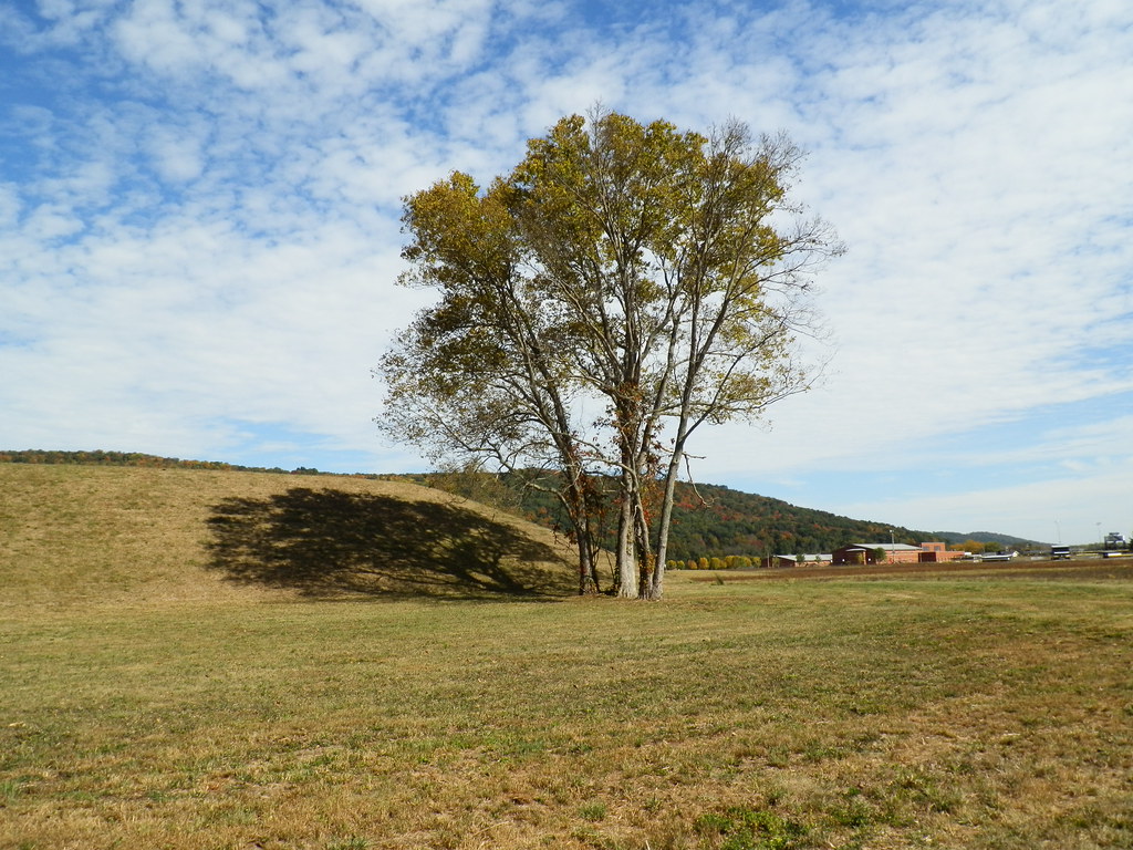
Fall Foliage
Hopewell Culture NHP, OH
Hopewell Culture NHP, OH
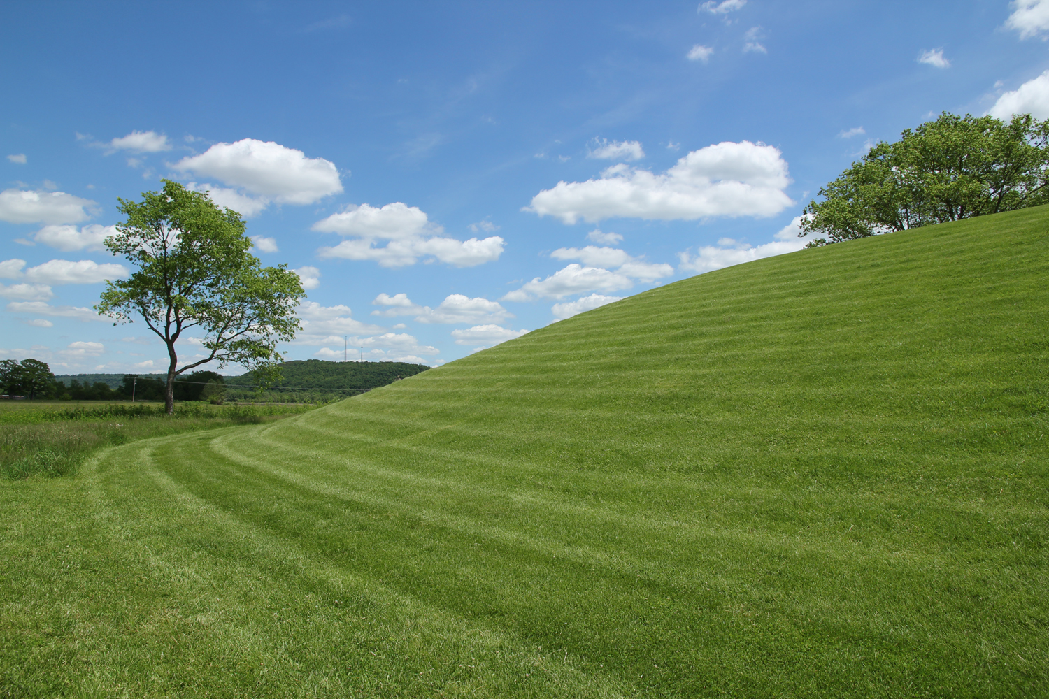
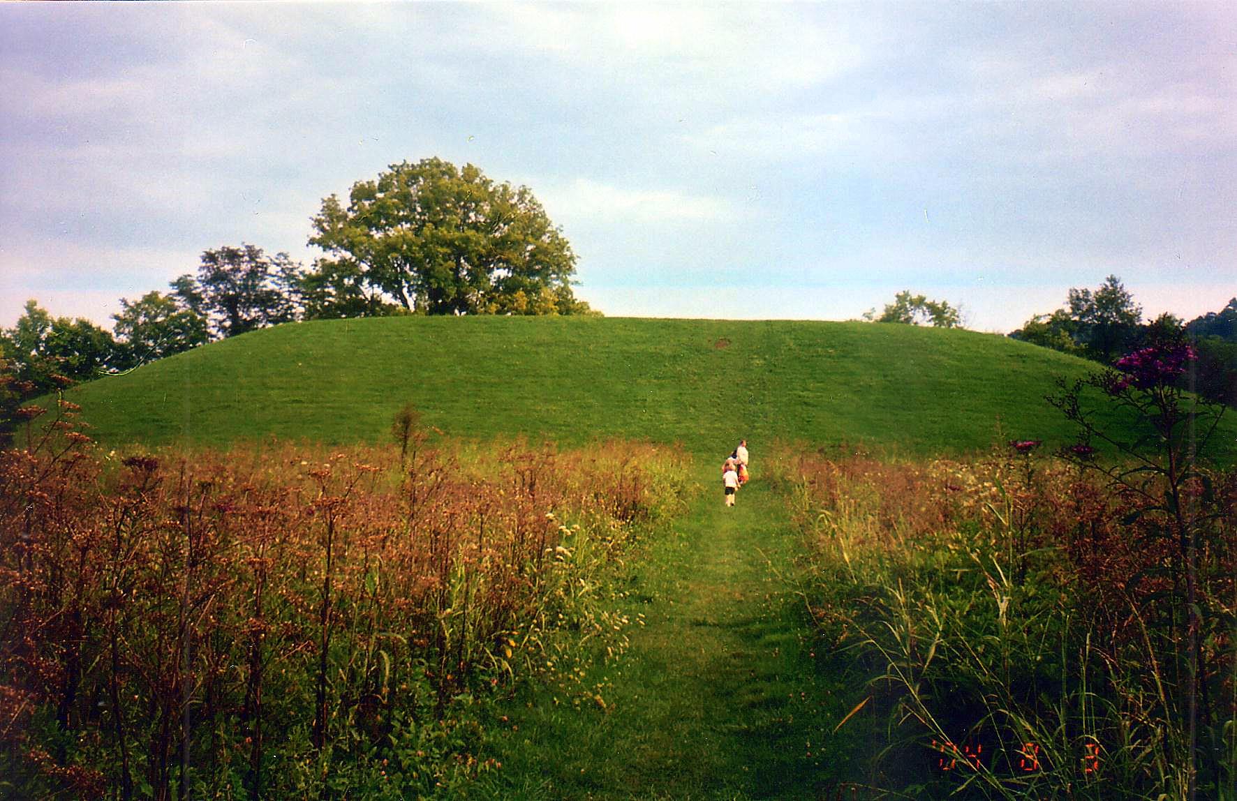
Seip Mound — Bainbridge, Ohio
Hopewell Culture NHP, OH
Seip Mound — Bainbridge, Ohio

"Reflections"
Hopewell Culture NHP, OH

Piketon 2

Eeny Oony Wana! Eeny Oony Wana!

Piketon 3
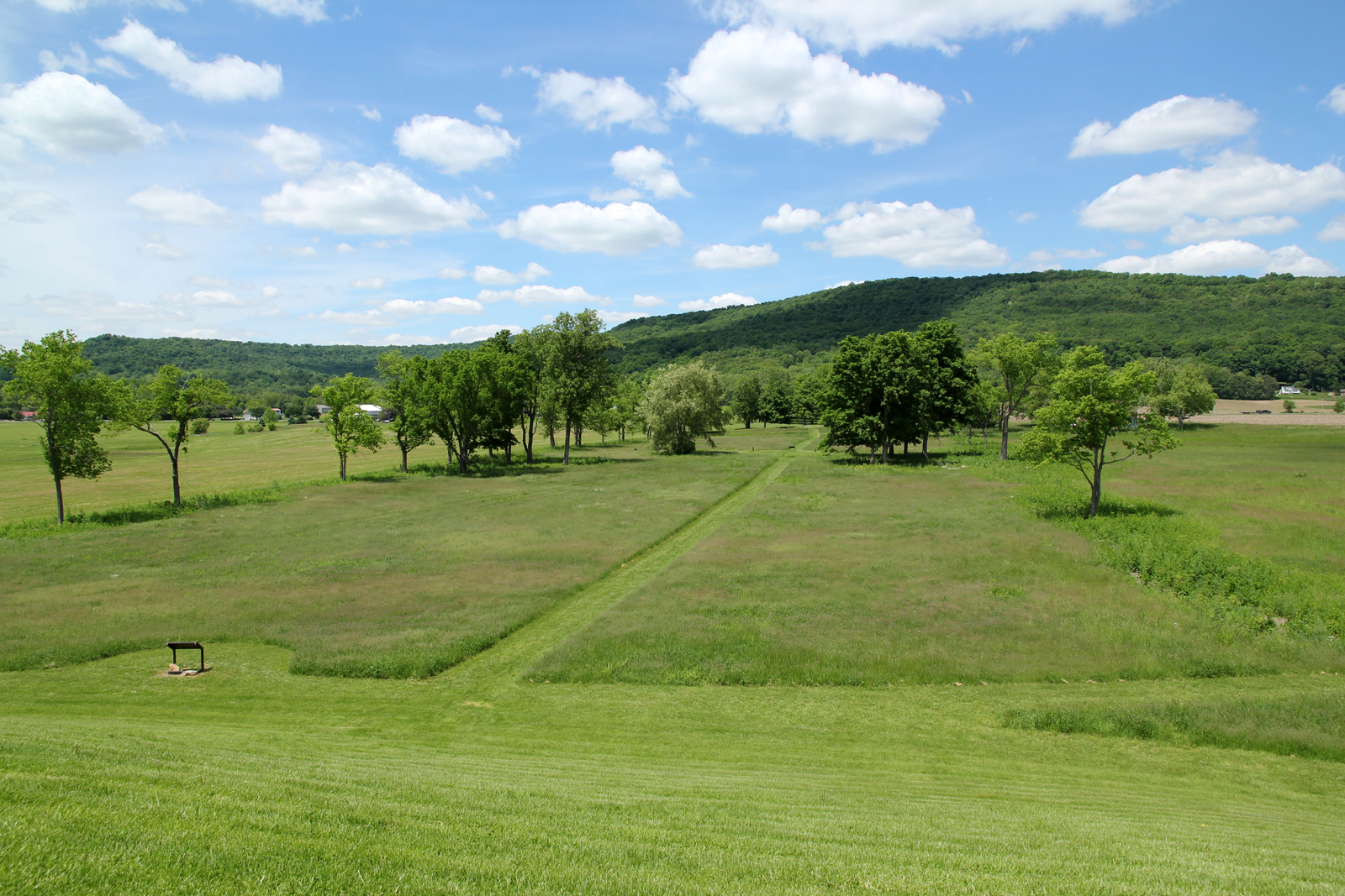
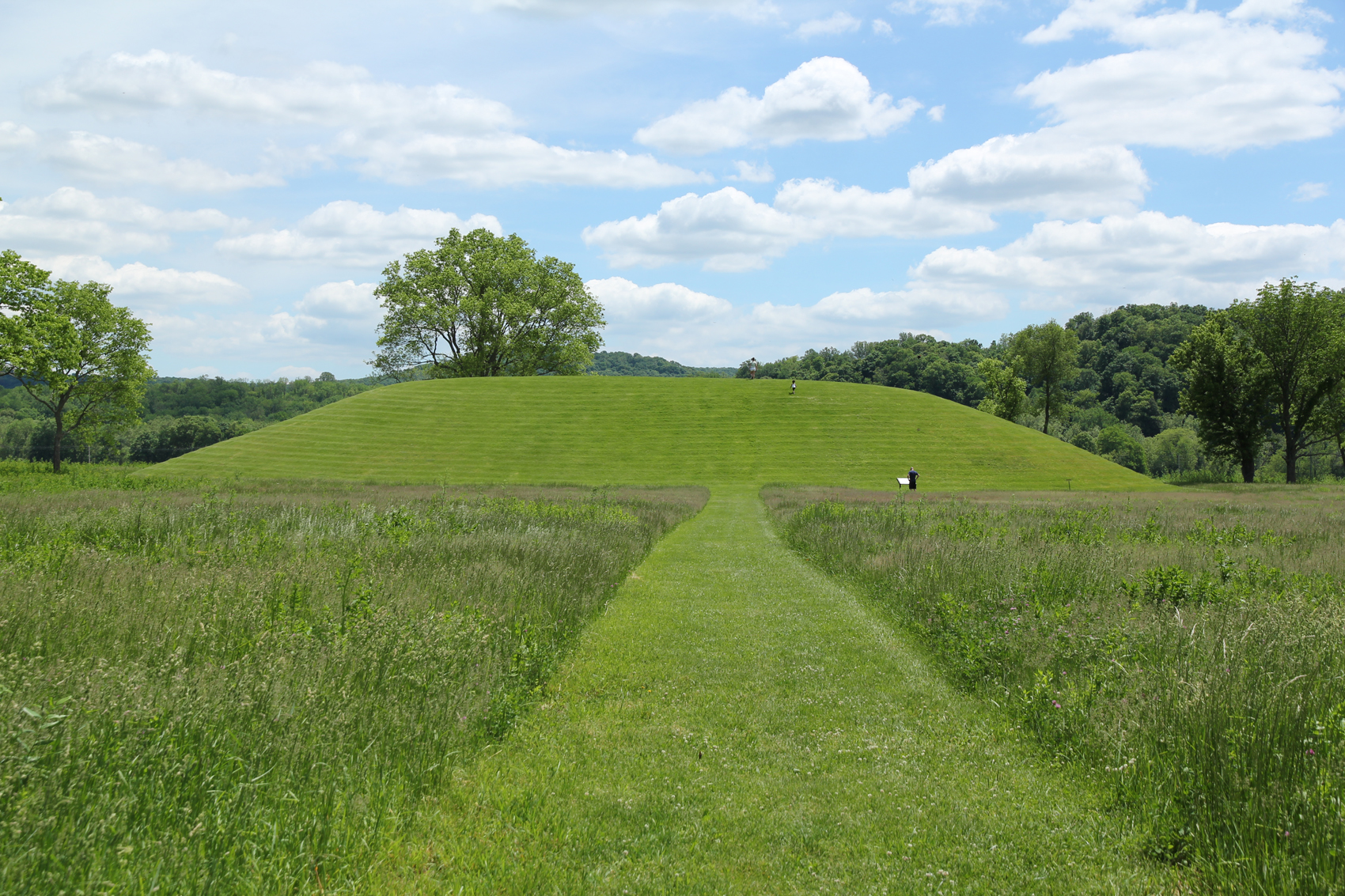
Seip Earthworks
Backside of Seip Mound
Fall Back
Eeny Oony Wana! Eeny Oony Wana!
Paint Creek Valley, Looking South — Bainbridge, Ohio
Topographic Map of Morgans Fork Rd, Peebles, OH, USA
Find elevation by address:

Places near Morgans Fork Rd, Peebles, OH, USA:
Benton Township
Morgans Fork Rd, Bainbridge, OH, USA
OH-, Piketon, OH, USA
21676 Oh-772
OH-, Latham, OH, USA
Latham
7959 Oh-124
Waldren Hill Road
Pebble Township
Chenoweth Fork Rd, Piketon, OH, USA
1718 Nipgen Rd
Sunfish Township
Arkoe
Mifflin Township
3253 Co Rd 1
Newton Township
Lapperell Rd, Peebles, OH, USA
2677 Beavers Ridge Rd
2657 Beavers Ridge Rd
649 Copeland Rd
Recent Searches:
- Elevation of N, Mt Pleasant, UT, USA
- Elevation of 6 Rue Jules Ferry, Beausoleil, France
- Elevation of Sattva Horizon, 4JC6+G9P, Vinayak Nagar, Kattigenahalli, Bengaluru, Karnataka, India
- Elevation of Great Brook Sports, Gold Star Hwy, Groton, CT, USA
- Elevation of 10 Mountain Laurels Dr, Nashua, NH, USA
- Elevation of 16 Gilboa Ln, Nashua, NH, USA
- Elevation of Laurel Rd, Townsend, TN, USA
- Elevation of 3 Nestling Wood Dr, Long Valley, NJ, USA
- Elevation of Ilungu, Tanzania
- Elevation of Yellow Springs Road, Yellow Springs Rd, Chester Springs, PA, USA