Elevation of Benton Township, OH, USA
Location: United States > Ohio > Pike County >
Longitude: -83.186335
Latitude: 39.1009621
Elevation: 275m / 902feet
Barometric Pressure: 98KPa
Elevation Map:
Satellite Map:
Related Photos:
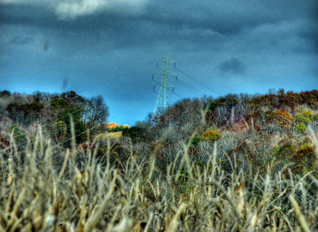
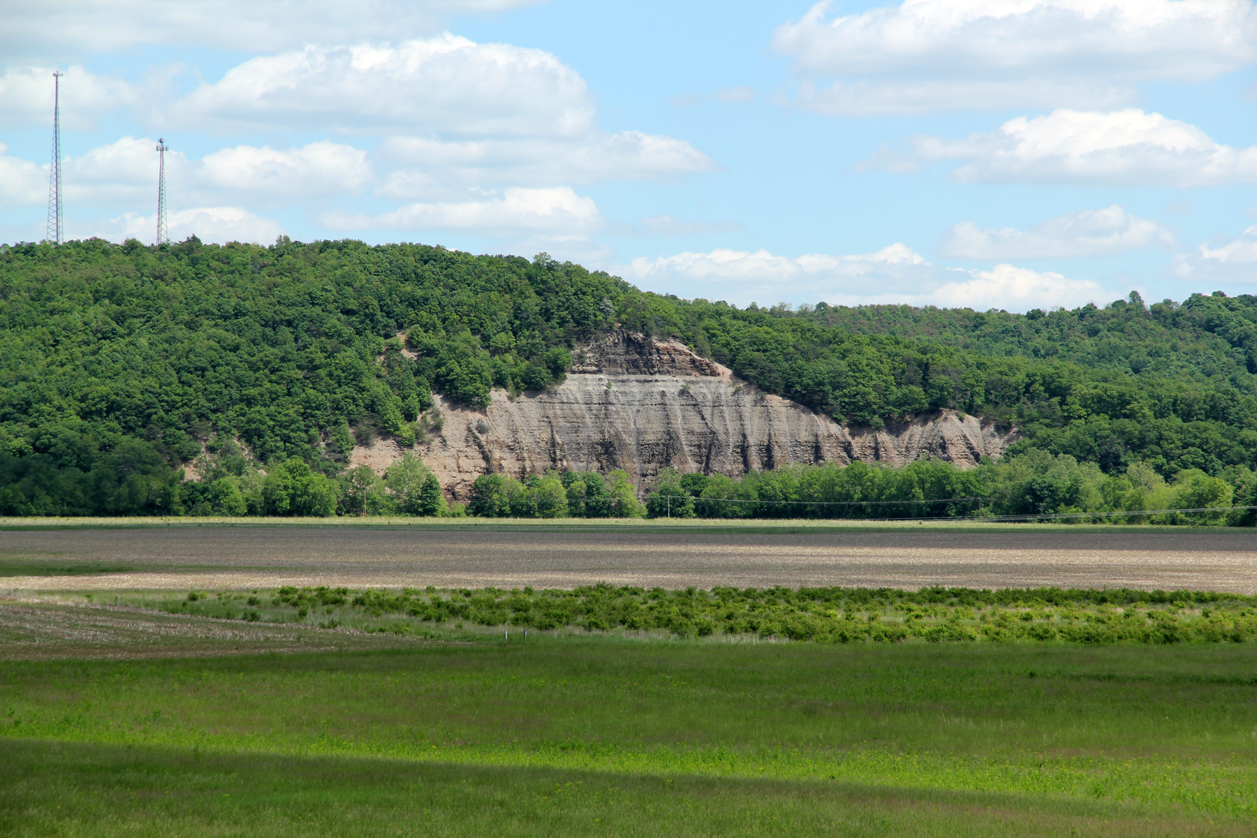
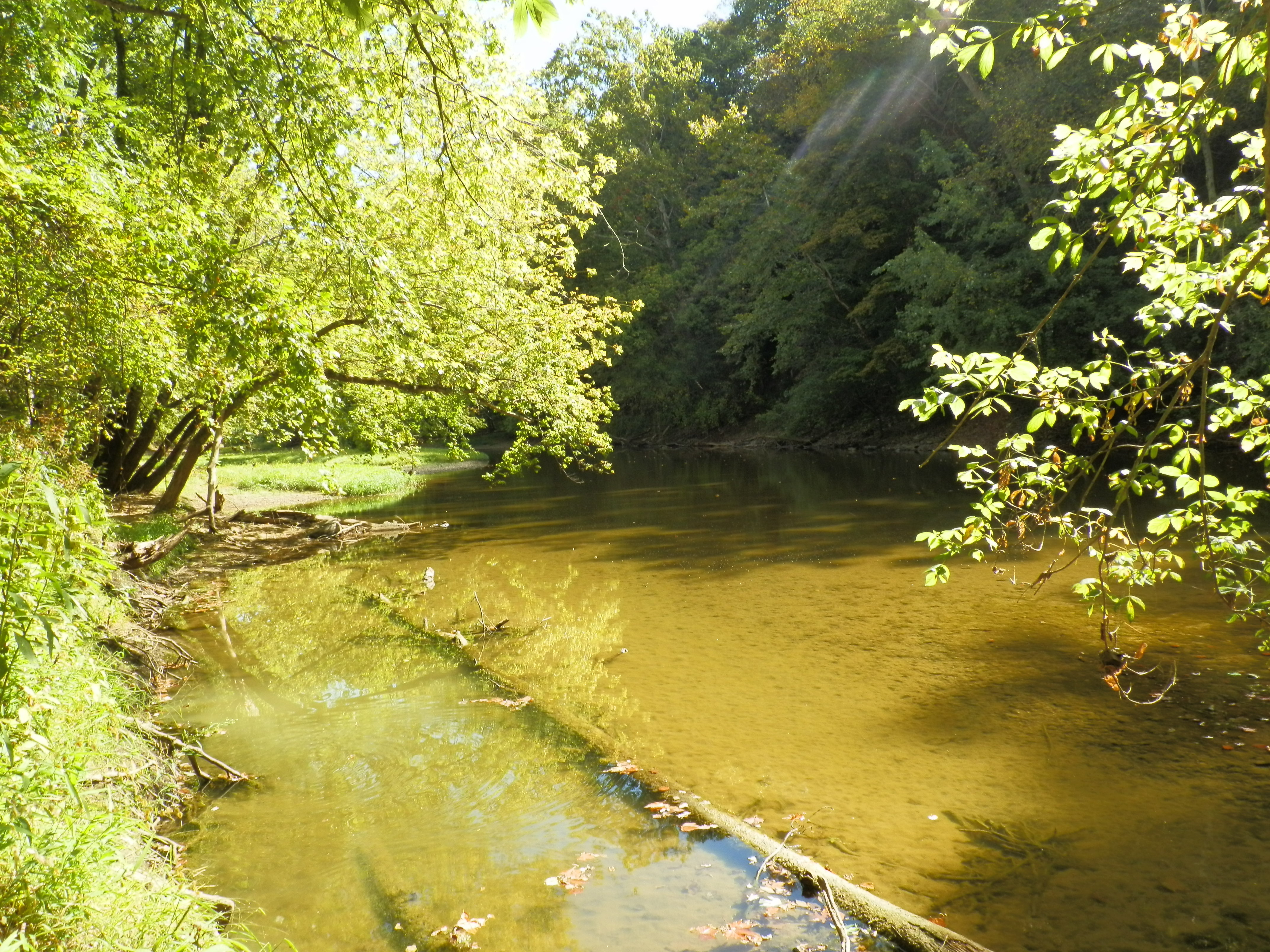
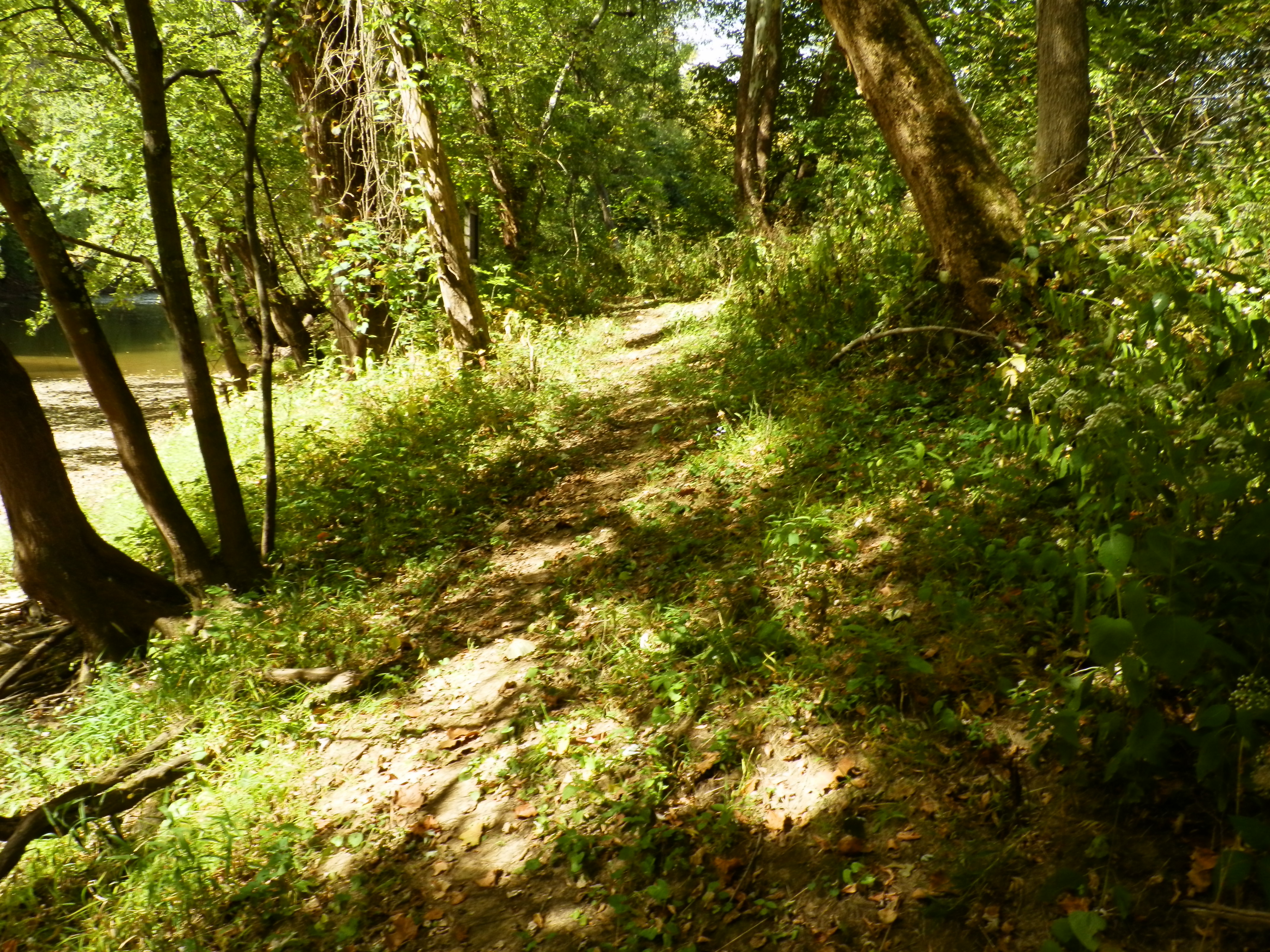
View from Chenoweth Fork Valley
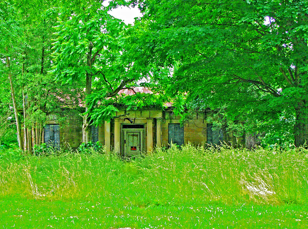
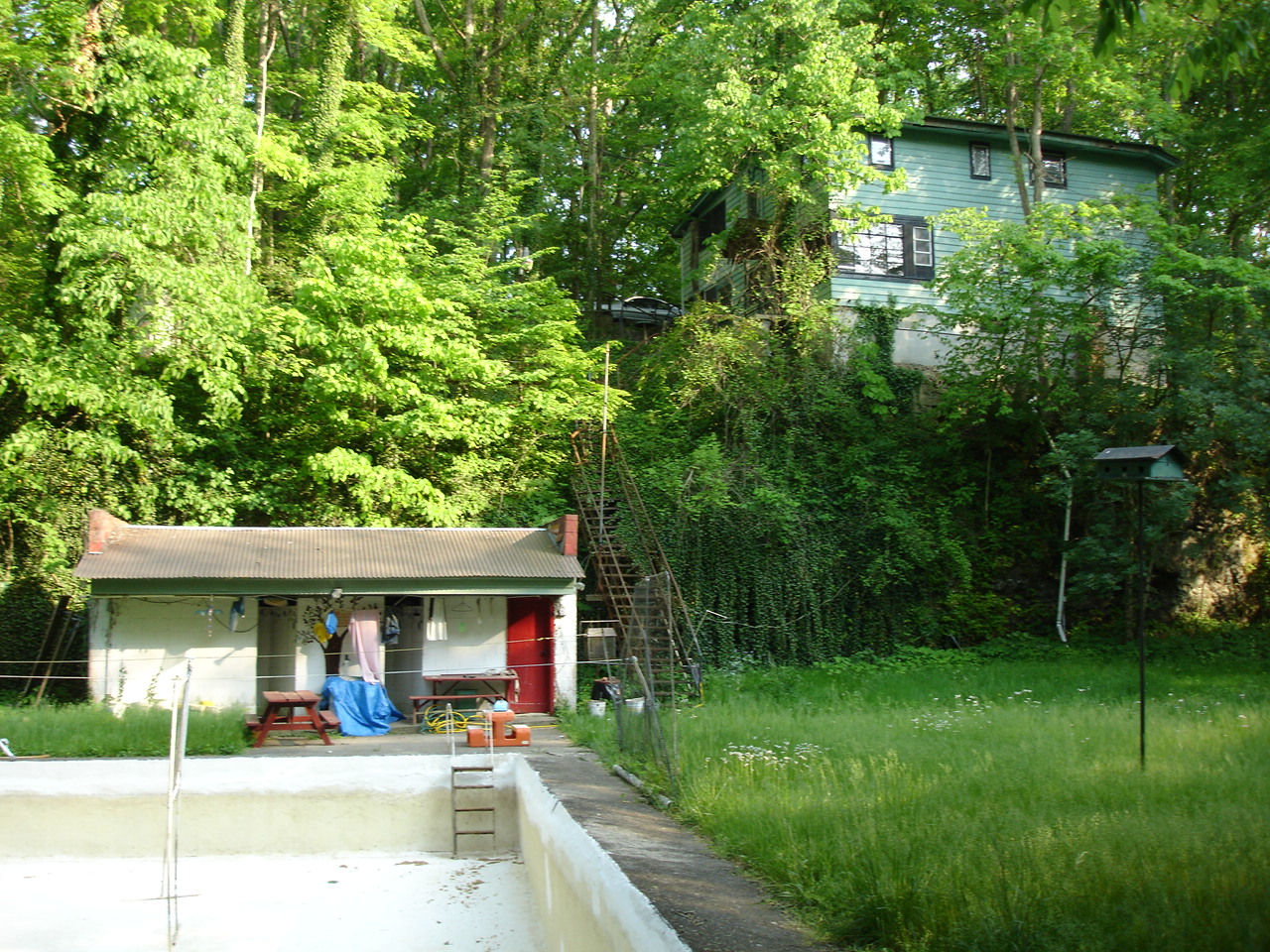
Jones-Cutler Historic House

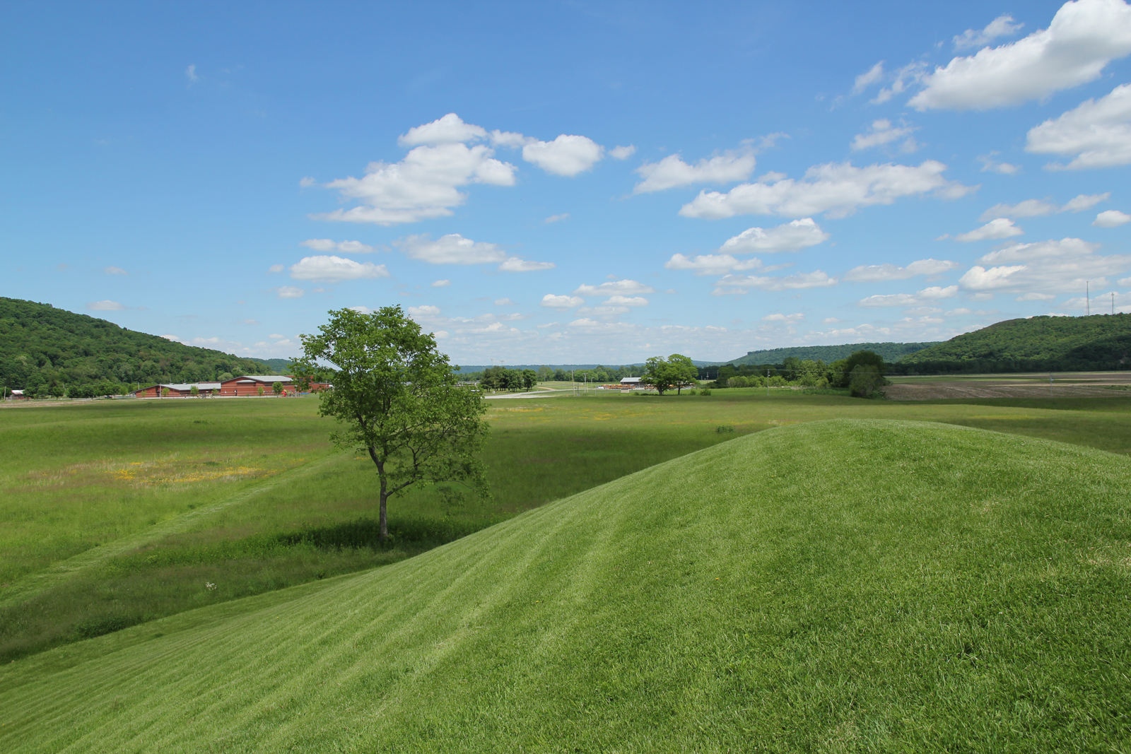
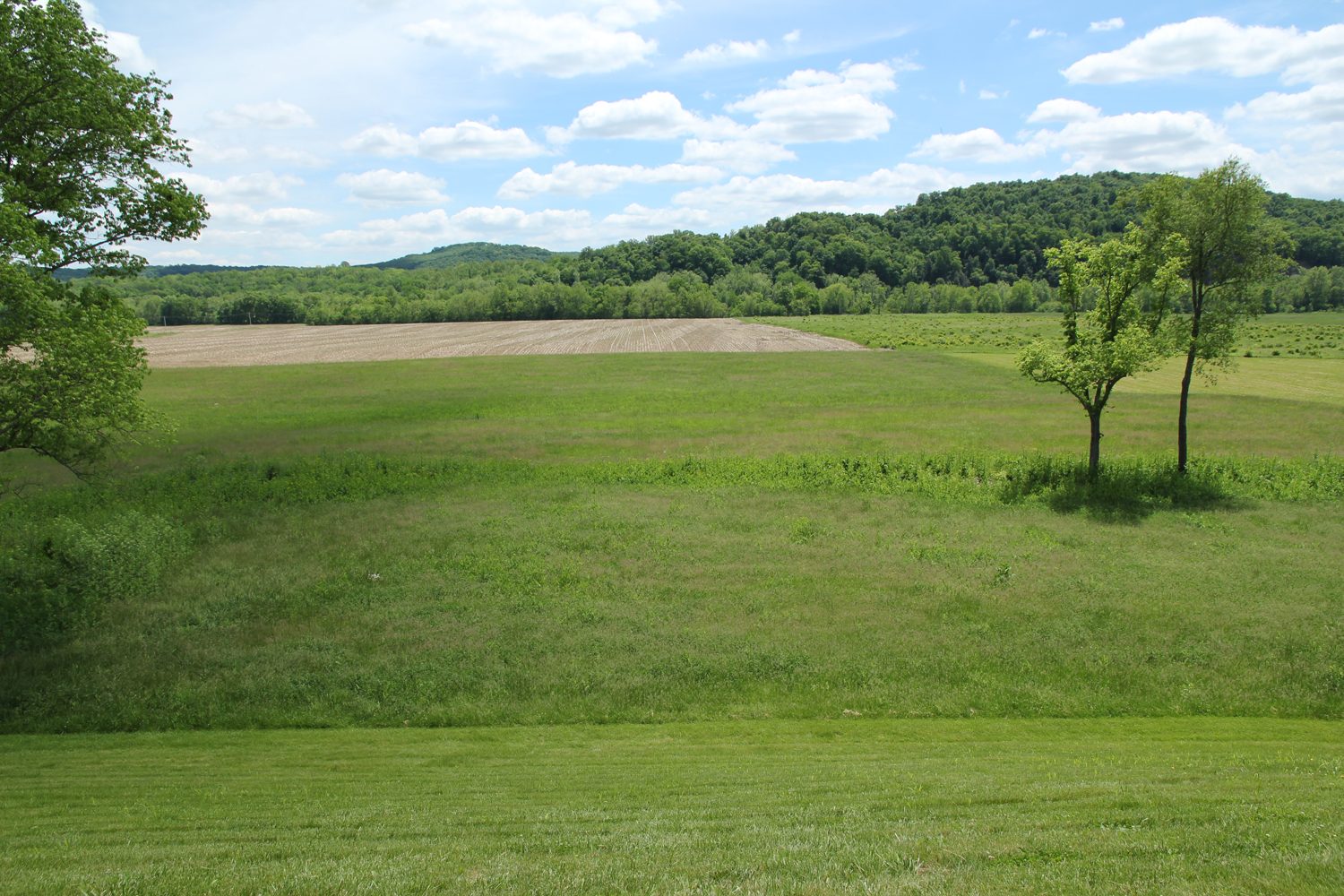
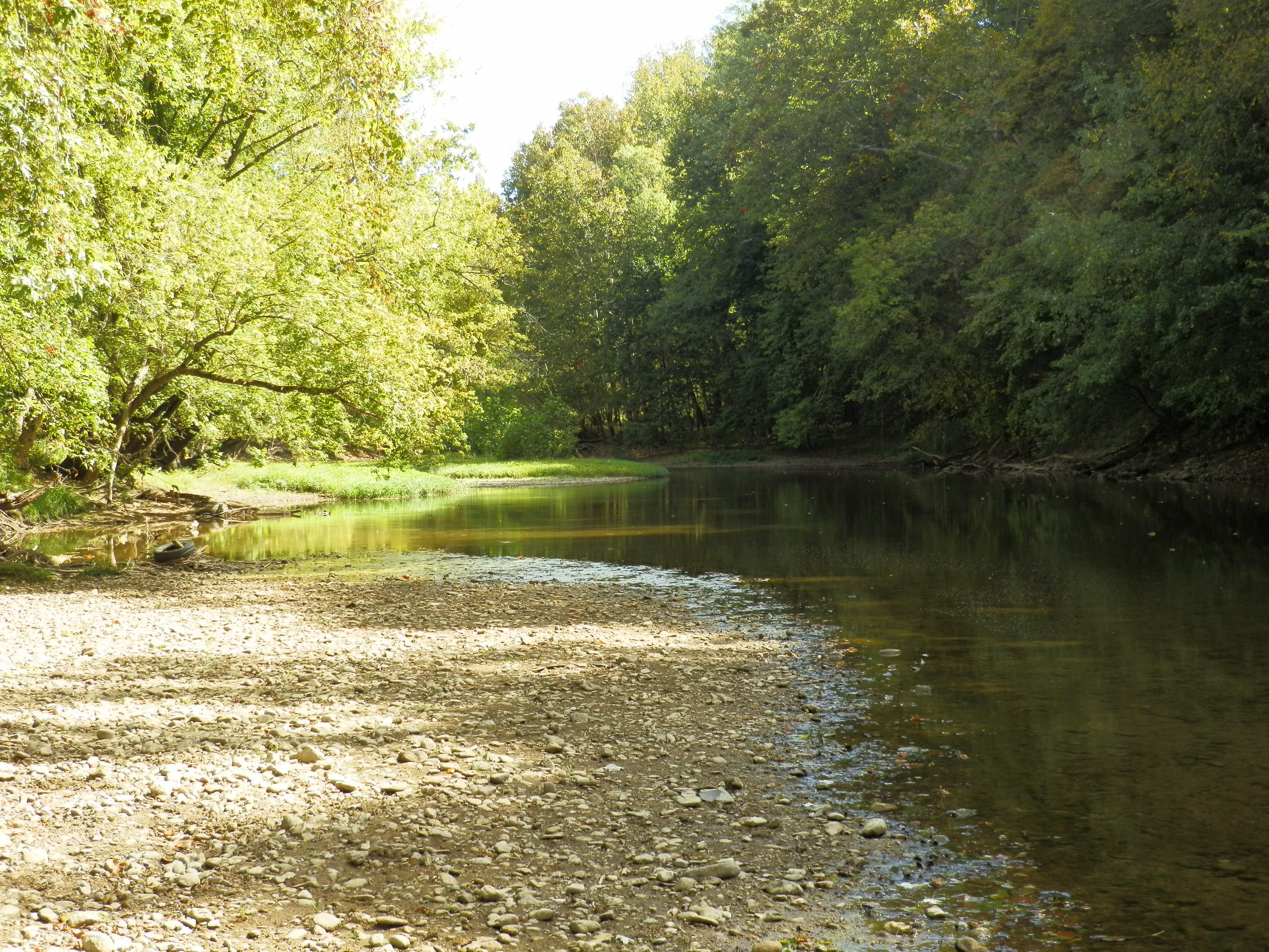
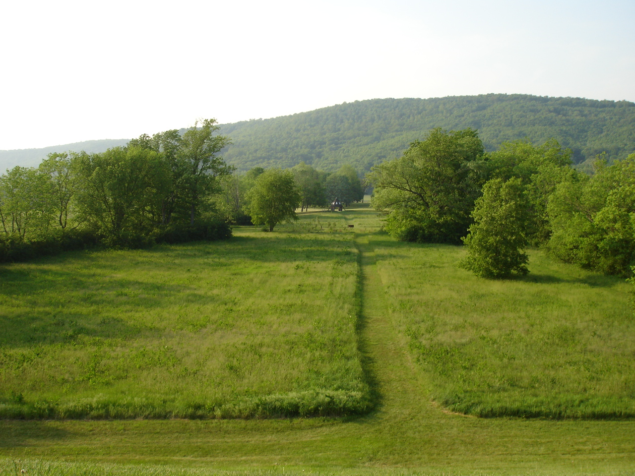
Scioto Valley Morning
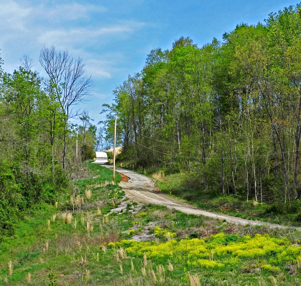
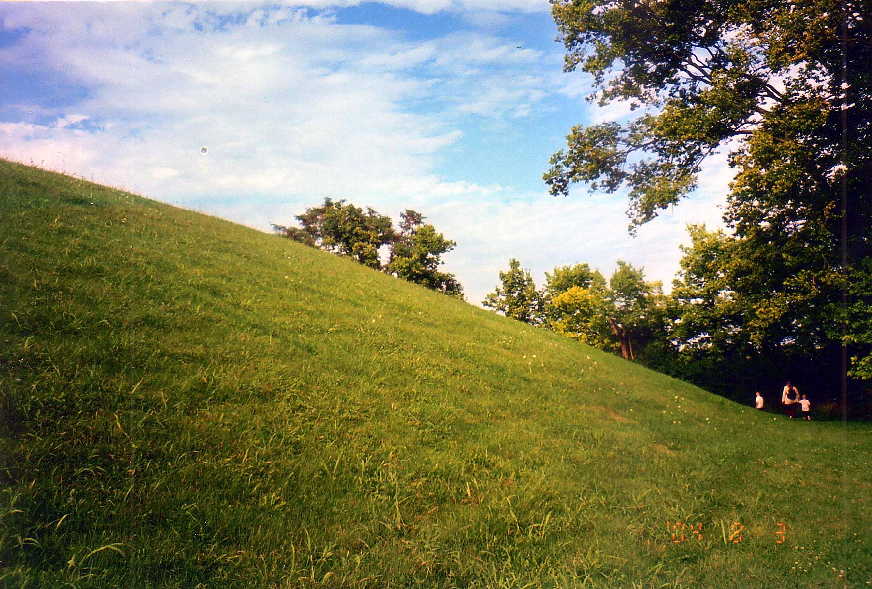
Long Driveway in Appalachia
Paint Creek Valley, Looking Northeast — Bainbridge, OH
Cliff, Copperas Mountain — Twin Township, Ross County, OH
Paint Creek Valley, Looking North — Bainbridge, OH
Bainbridge, OH
Paint Creek Valley, Looking South — Bainbridge, OH
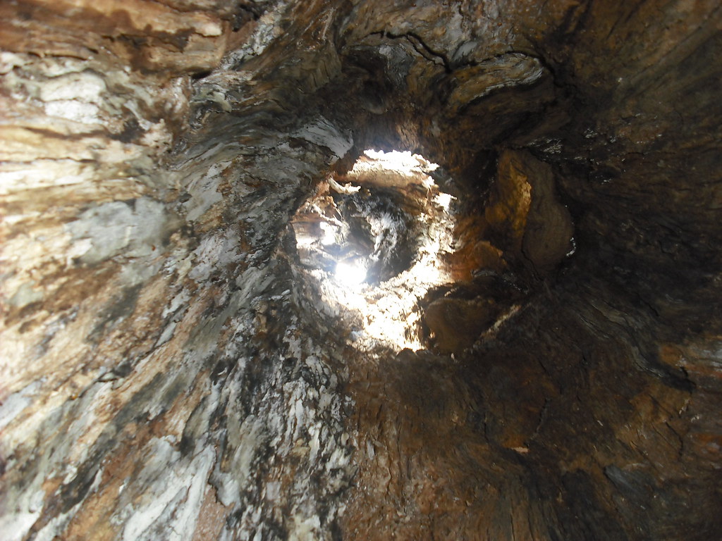
Pike Lake: Upward View in the Tree
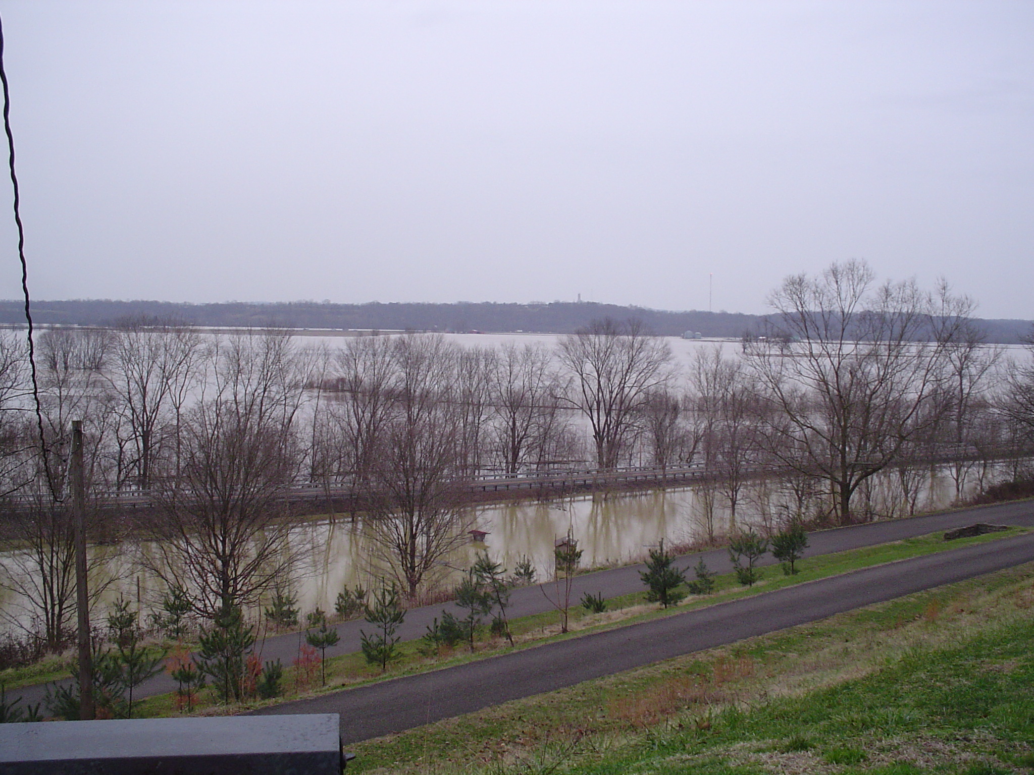
more flood
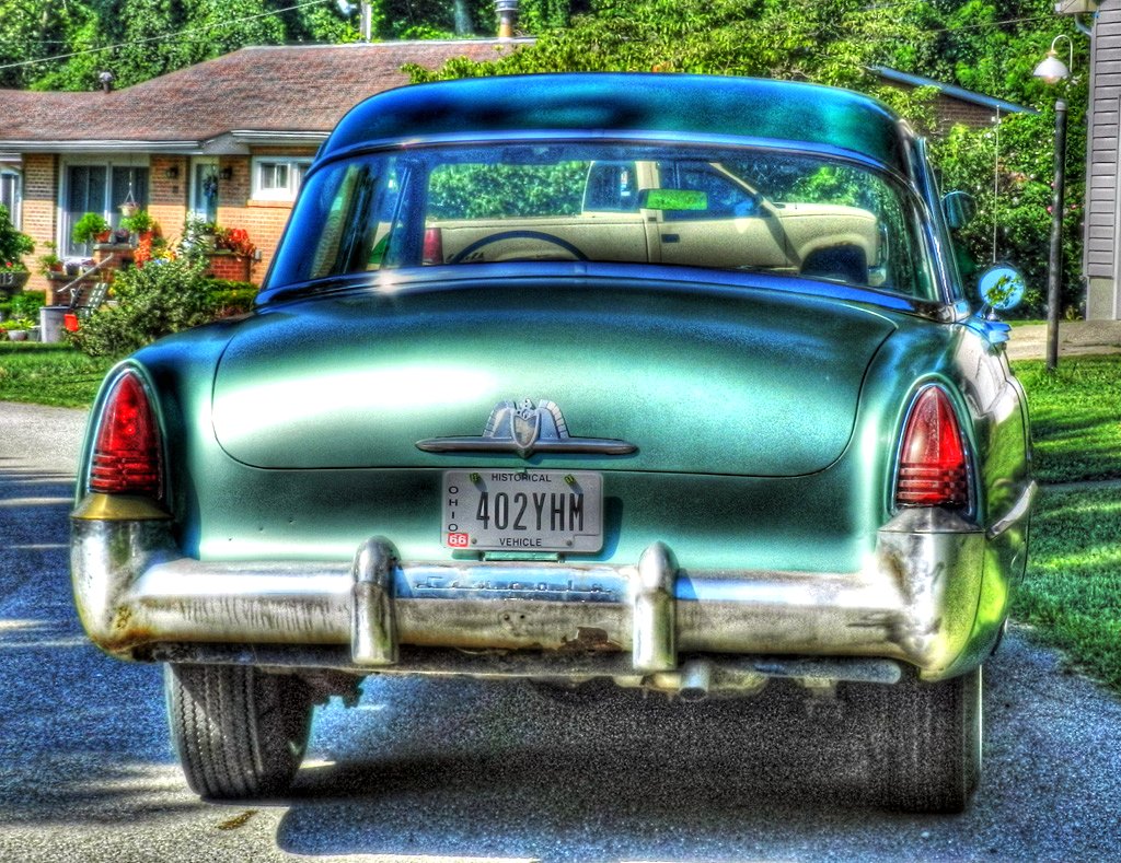
1953 Lincoln Capri (2)
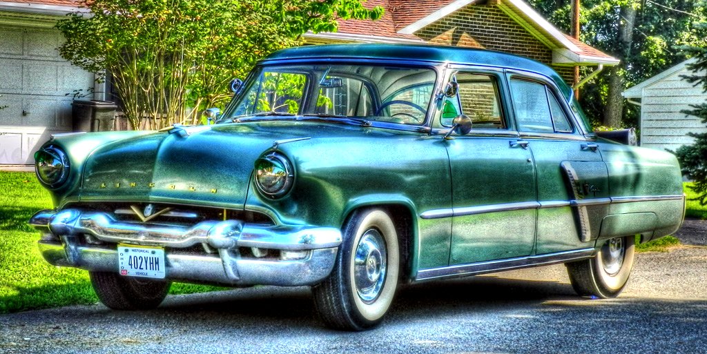
1953 Lincoln Capri
View in Piketon
View of Graded Way Near Piketon, Ohio
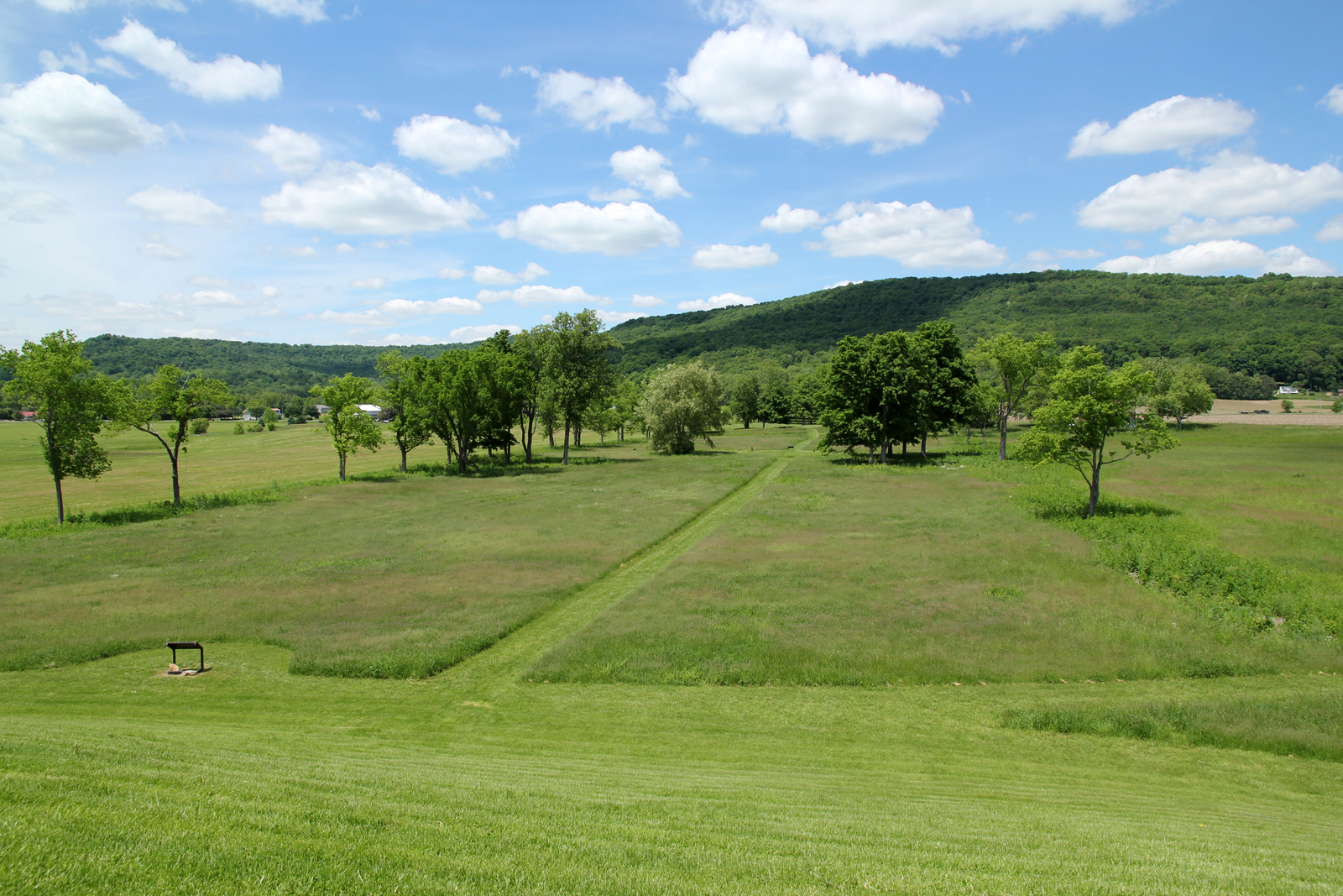
Ancient Works near Piketon, Ohio
Fall Foliage
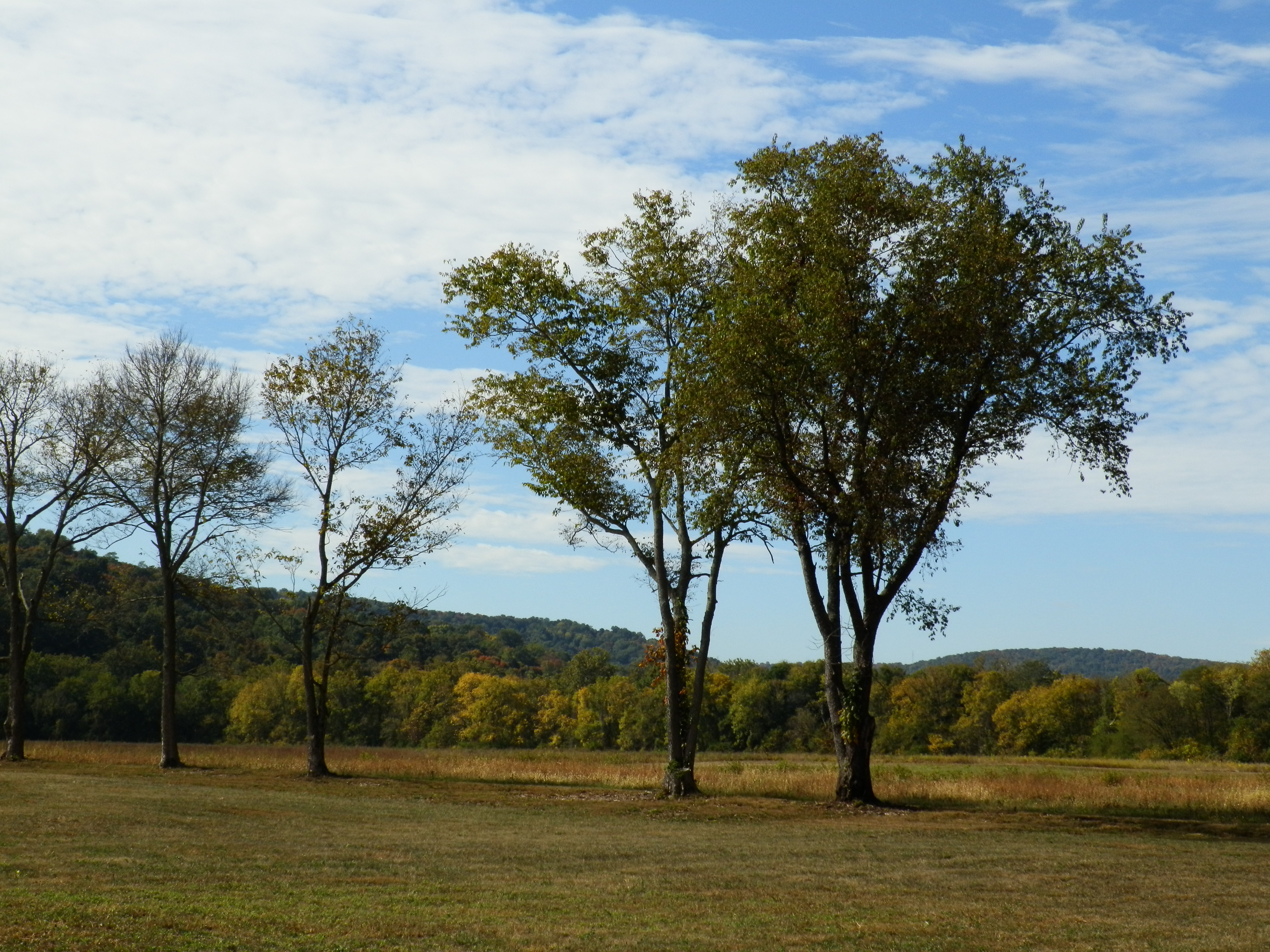
Hopewell Culture NHP, OH
Hopewell Culture NHP, OH
Hopewell Culture NHP, OH
Hopewell Culture NHP, OH
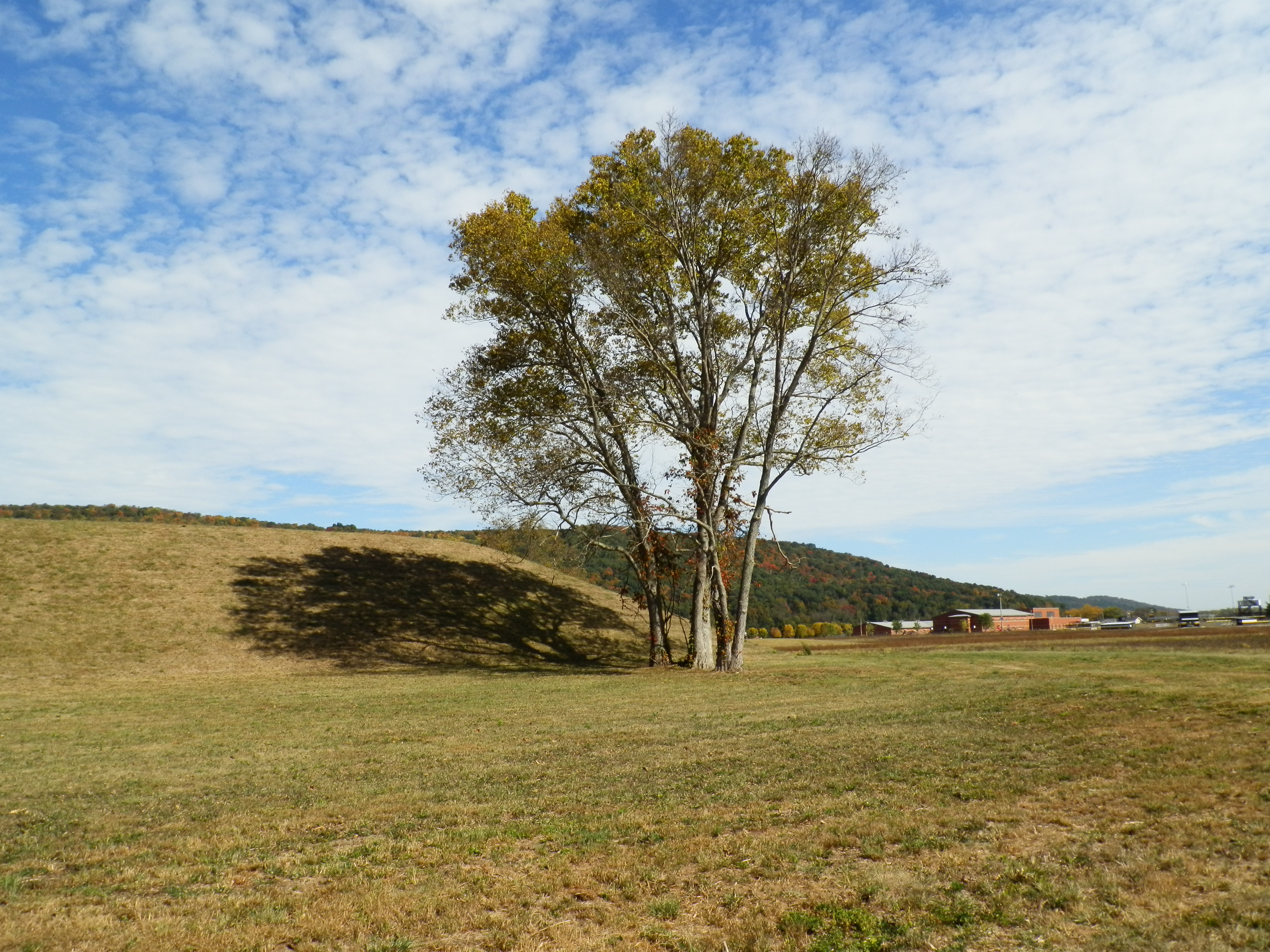
Hopewell Culture NHP, OH

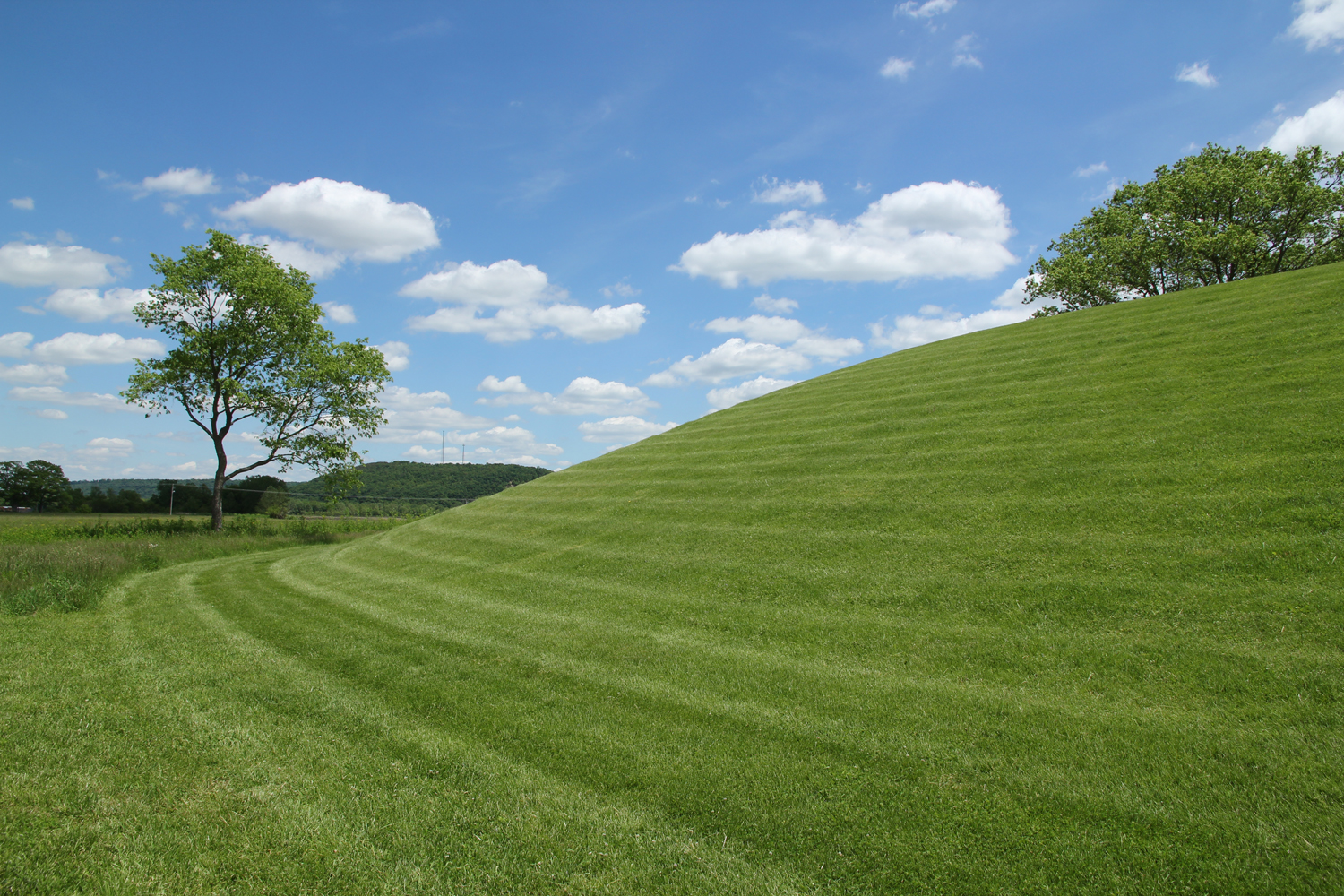
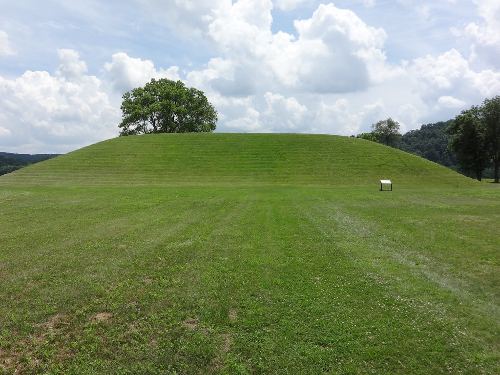
Backside of Seip Mound
Hopewell Culture NHP, OH
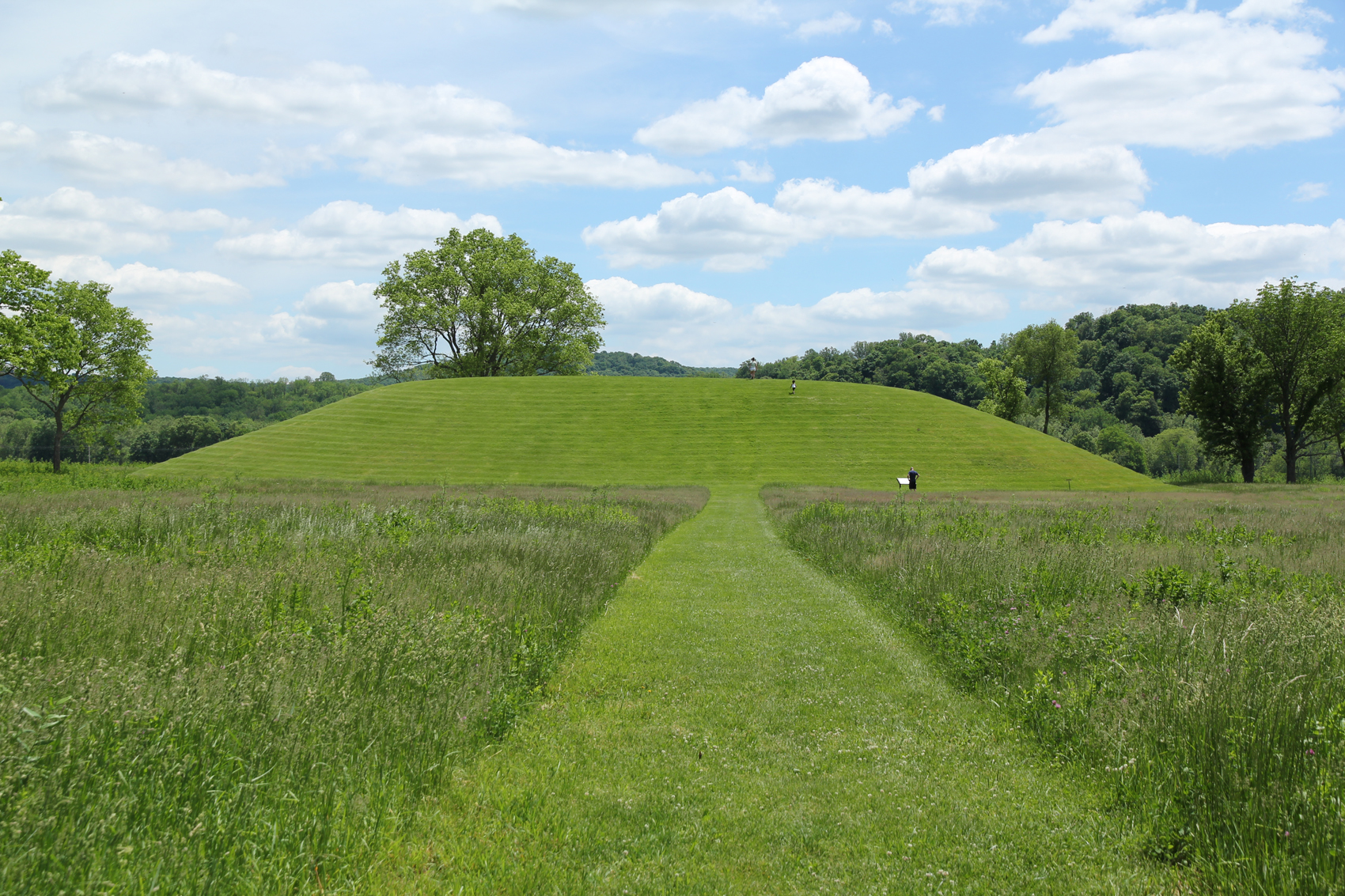
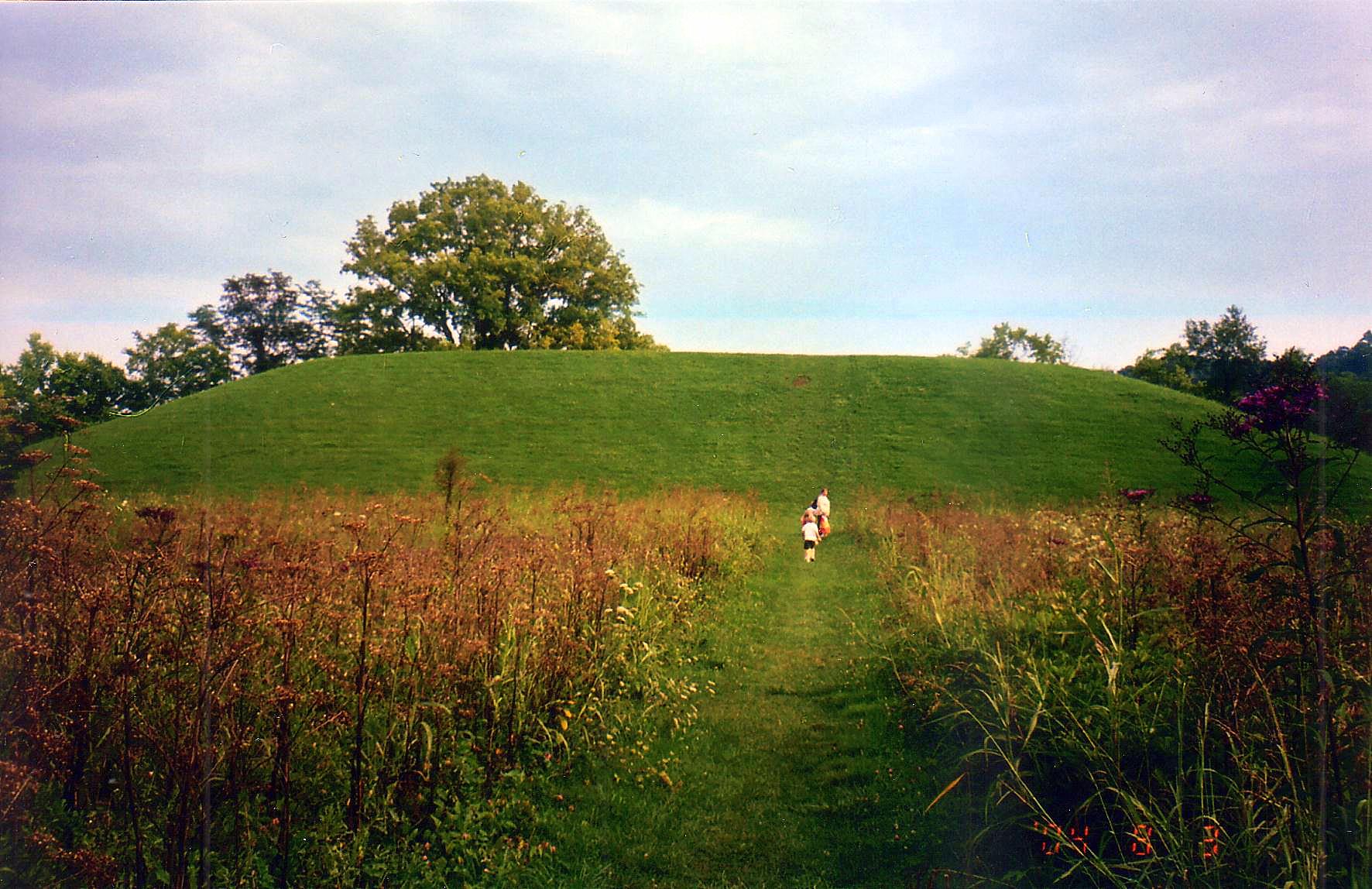
Seip Mound — Bainbridge, OH
Seip Mound — Bainbridge, OH

Eeny Oony Wana! Eeny Oony Wana!
Hopewell Culture NHP, OH
Hopewell Culture NHP, OH

"Reflections"
Eeny Oony Wana! Eeny Oony Wana!
Seip Earthworks
Backside of Seip Mound
Bainbridge, OH
Topographic Map of Benton Township, OH, USA
Find elevation by address:

Places in Benton Township, OH, USA:
Places near Benton Township, OH, USA:
1317 Morgans Fork Rd
Morgans Fork Rd, Bainbridge, OH, USA
OH-, Piketon, OH, USA
OH-, Latham, OH, USA
Latham
7959 Oh-124
21676 Oh-772
Chenoweth Fork Rd, Piketon, OH, USA
Sunfish Township
Waldren Hill Road
Arkoe
3253 Co Rd 1
Mifflin Township
2677 Beavers Ridge Rd
2657 Beavers Ridge Rd
Pebble Township
Lapperell Rd, Peebles, OH, USA
Newton Township
1718 Nipgen Rd
649 Copeland Rd
Recent Searches:
- Elevation of Lampiasi St, Sarasota, FL, USA
- Elevation of Elwyn Dr, Roanoke Rapids, NC, USA
- Elevation of Congressional Dr, Stevensville, MD, USA
- Elevation of Bellview Rd, McLean, VA, USA
- Elevation of Stage Island Rd, Chatham, MA, USA
- Elevation of Shibuya Scramble Crossing, 21 Udagawacho, Shibuya City, Tokyo -, Japan
- Elevation of Jadagoniai, Kaunas District Municipality, Lithuania
- Elevation of Pagonija rock, Kranto 7-oji g. 8"N, Kaunas, Lithuania
- Elevation of Co Rd 87, Jamestown, CO, USA
- Elevation of Tenjo, Cundinamarca, Colombia