Elevation of Chenoweth Fork Rd, Piketon, OH, USA
Location: United States > Ohio > Pike County >
Longitude: -83.230915
Latitude: 39.044637
Elevation: 212m / 696feet
Barometric Pressure: 99KPa
Elevation Map:
Satellite Map:
Related Photos:
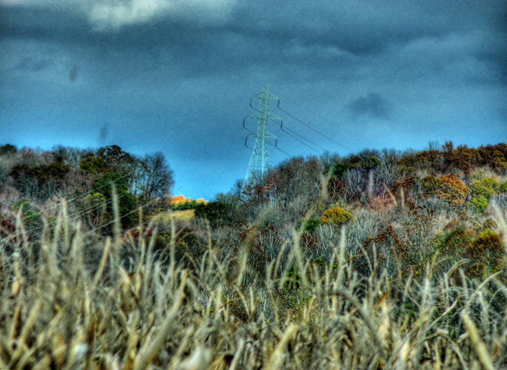
View from Chenoweth Fork Valley

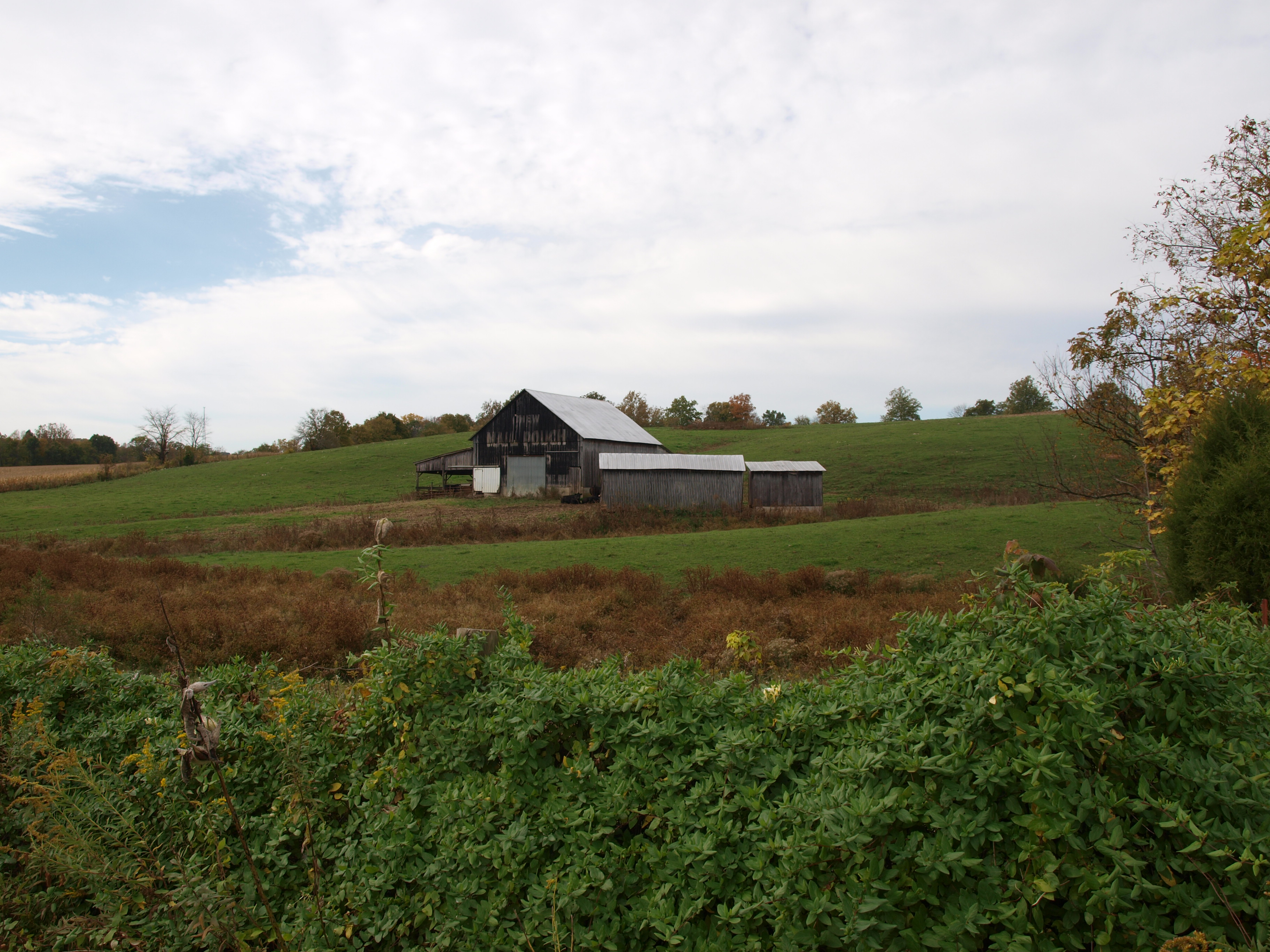
Jones-Cutler Historic House
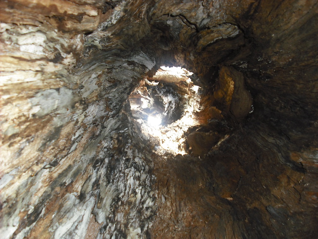
Pike Lake: Upward View in the Tree

Fort Hill State Memorial

"Reflections"
Pike Lake 2008
MPB 35-01-09, Adams County, Ohio

Fort Hill State Memorial

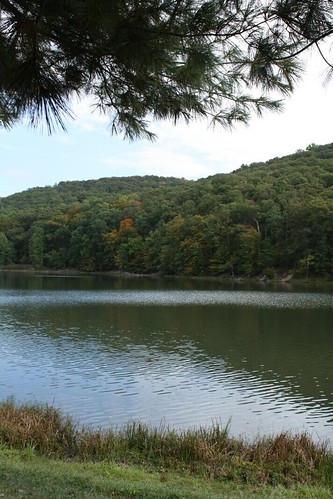
Pike Lake

Fort Hill State Memorial

Fort Hill State Memorial

Fort Hill State Memorial

Fort Hill State Memorial

Fort Hill State Memorial

Fort Hill State Memorial

Davis State Memorial
Davis State Memorial
Topographic Map of Chenoweth Fork Rd, Piketon, OH, USA
Find elevation by address:

Places near Chenoweth Fork Rd, Piketon, OH, USA:
Arkoe
3253 Co Rd 1
2677 Beavers Ridge Rd
2657 Beavers Ridge Rd
Sunfish Township
OH-, Latham, OH, USA
Latham
7959 Oh-124
Benton Township
Mifflin Township
4669 Poplar Grove Rd
4669 Poplar Grove Rd
1317 Morgans Fork Rd
Morgans Fork Rd, Bainbridge, OH, USA
OH-, Piketon, OH, USA
Lapperell Rd, Peebles, OH, USA
Drybone Rd, Peebles, OH, USA
Waldren Hill Road
Newton Township
21676 Oh-772
Recent Searches:
- Elevation of Lampiasi St, Sarasota, FL, USA
- Elevation of Elwyn Dr, Roanoke Rapids, NC, USA
- Elevation of Congressional Dr, Stevensville, MD, USA
- Elevation of Bellview Rd, McLean, VA, USA
- Elevation of Stage Island Rd, Chatham, MA, USA
- Elevation of Shibuya Scramble Crossing, 21 Udagawacho, Shibuya City, Tokyo -, Japan
- Elevation of Jadagoniai, Kaunas District Municipality, Lithuania
- Elevation of Pagonija rock, Kranto 7-oji g. 8"N, Kaunas, Lithuania
- Elevation of Co Rd 87, Jamestown, CO, USA
- Elevation of Tenjo, Cundinamarca, Colombia