Elevation of Morgans Fork Rd, Bainbridge, OH, USA
Location: United States > Ohio > Pike County > Benton Township >
Longitude: -83.198401
Latitude: 39.1295548
Elevation: 191m / 627feet
Barometric Pressure: 99KPa
Elevation Map:
Satellite Map:
Related Photos:
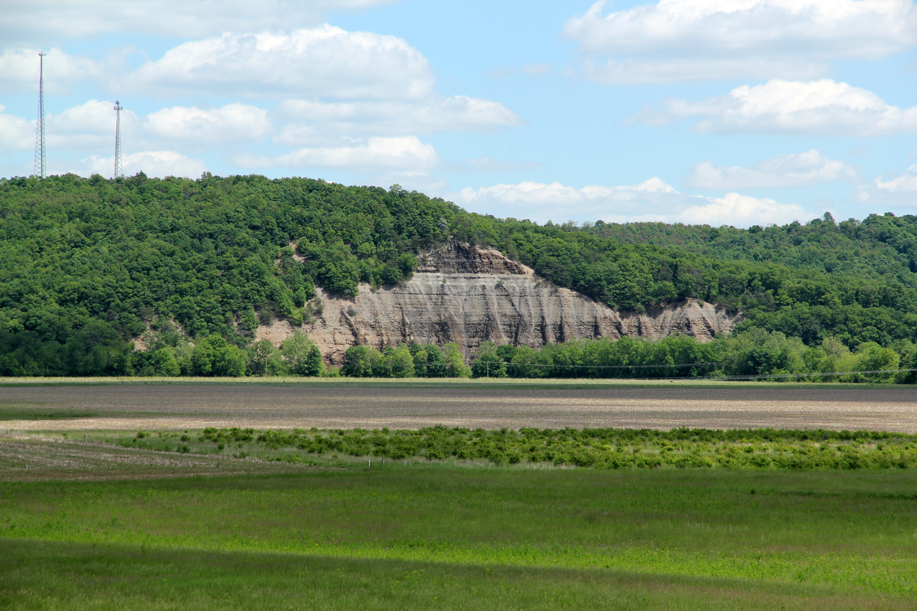
Cliff, Copperas Mountain — Twin Township, Ross County, OH

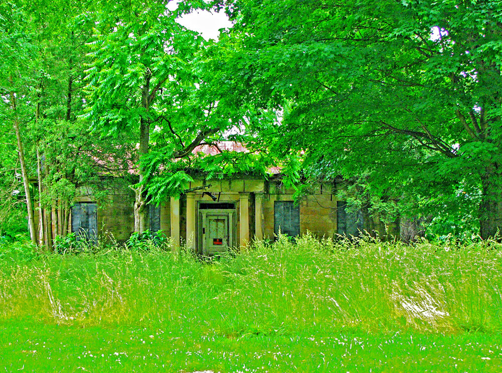
Rear, Christian Benner House — Paxton Township, Ross County, Ohio
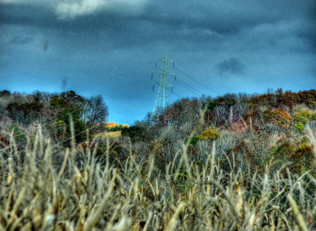
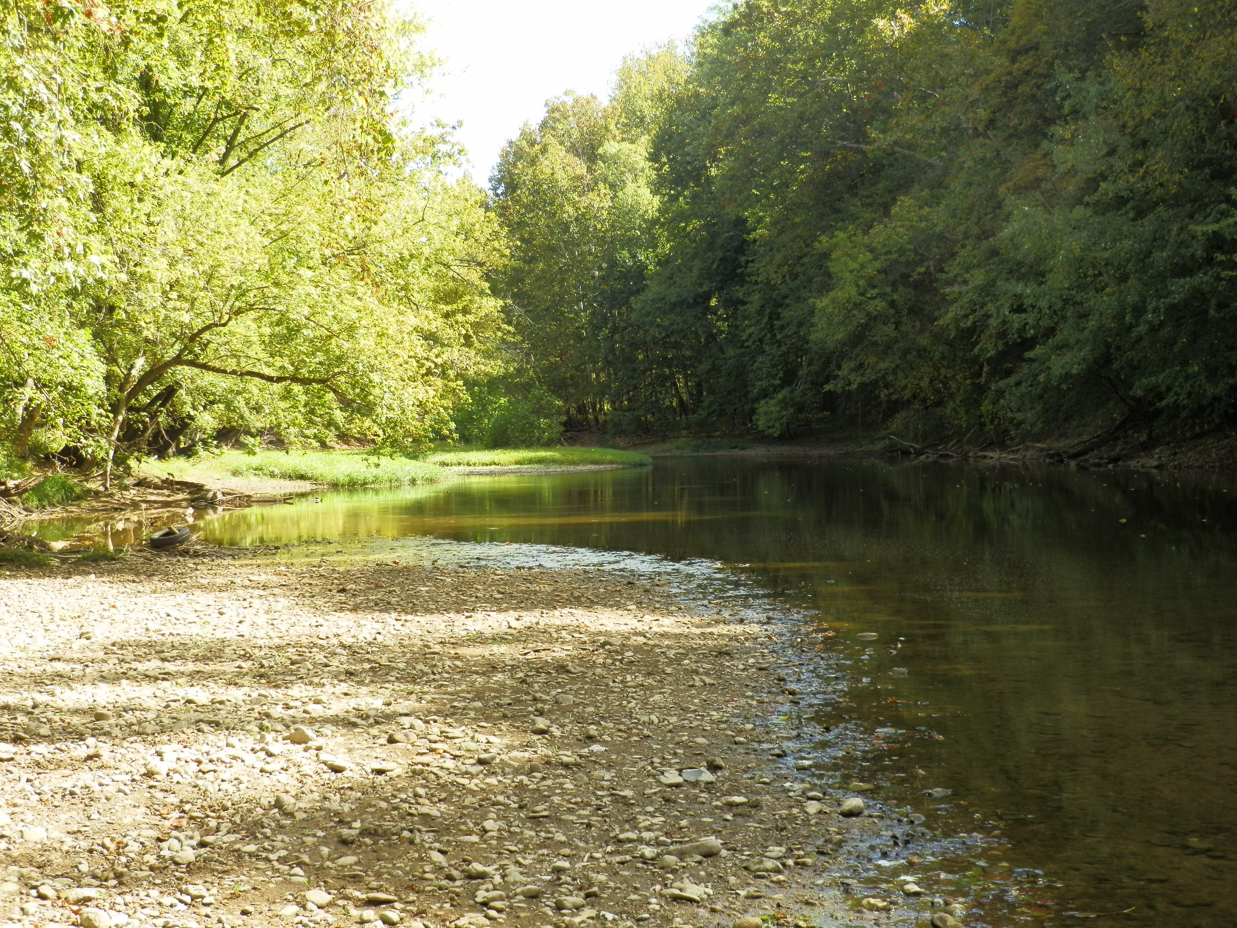
View from Chenoweth Fork Valley
Jones-Cutler Historic House

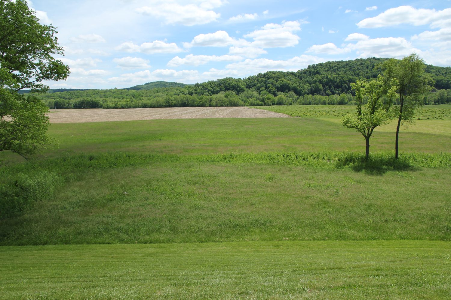
Scioto Valley Morning
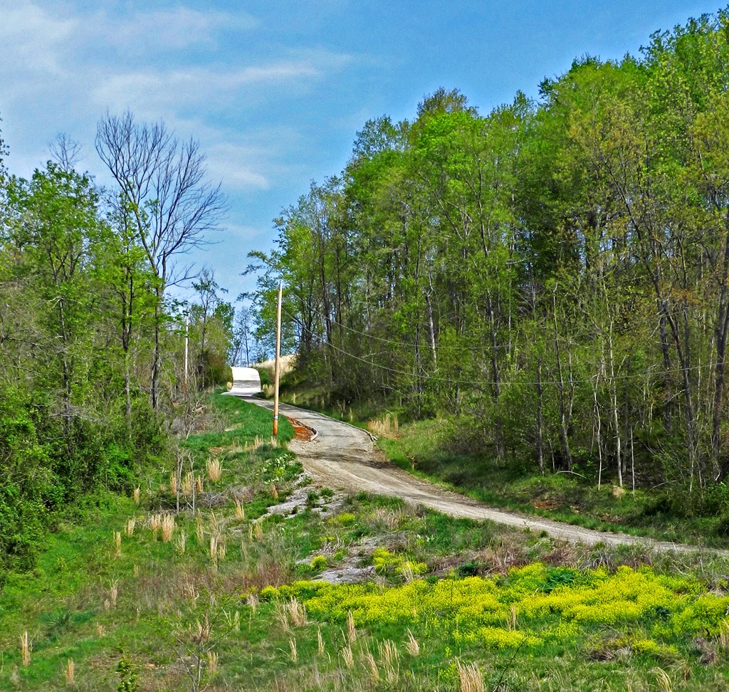
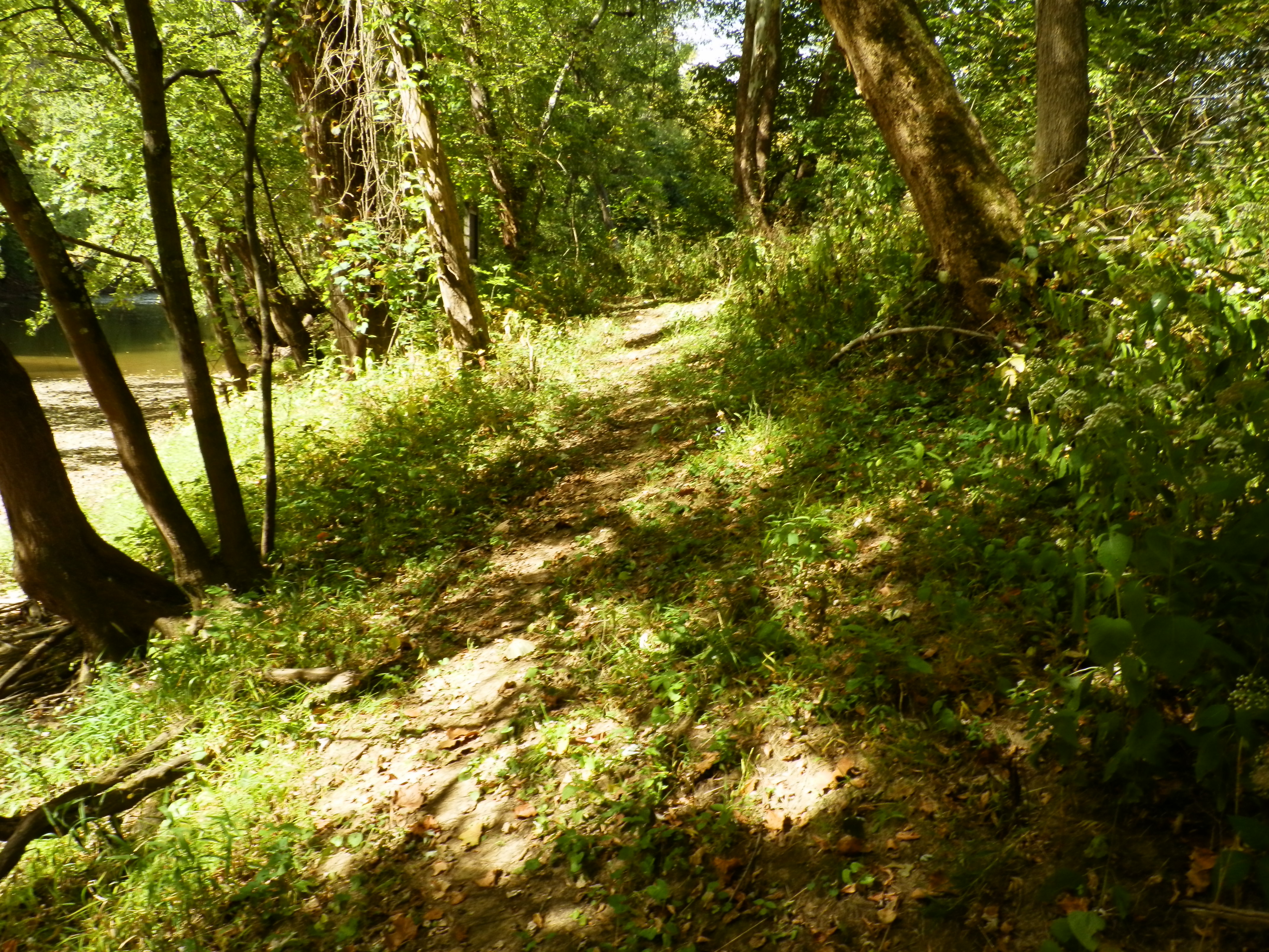
Long Driveway in Appalachia
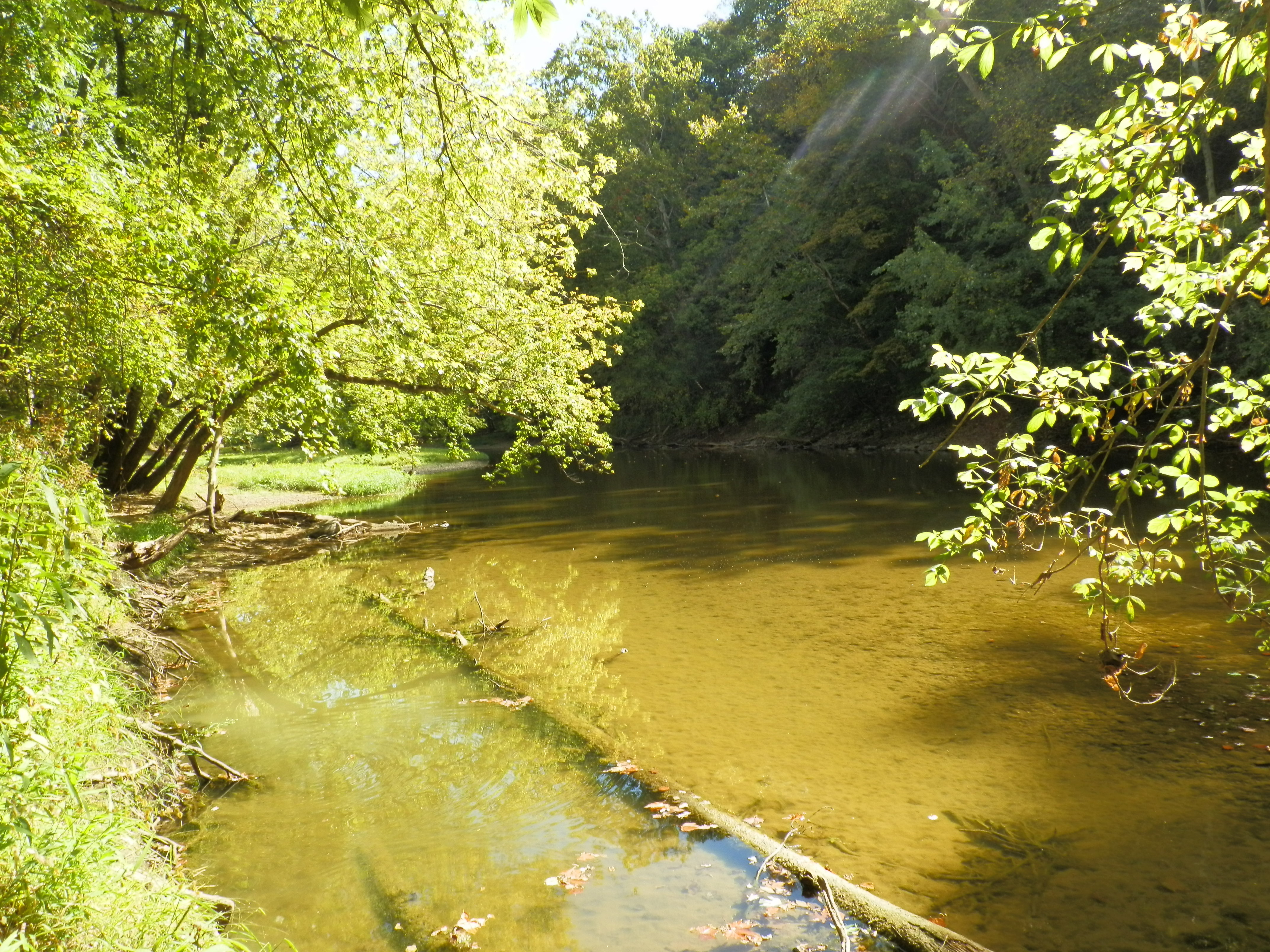
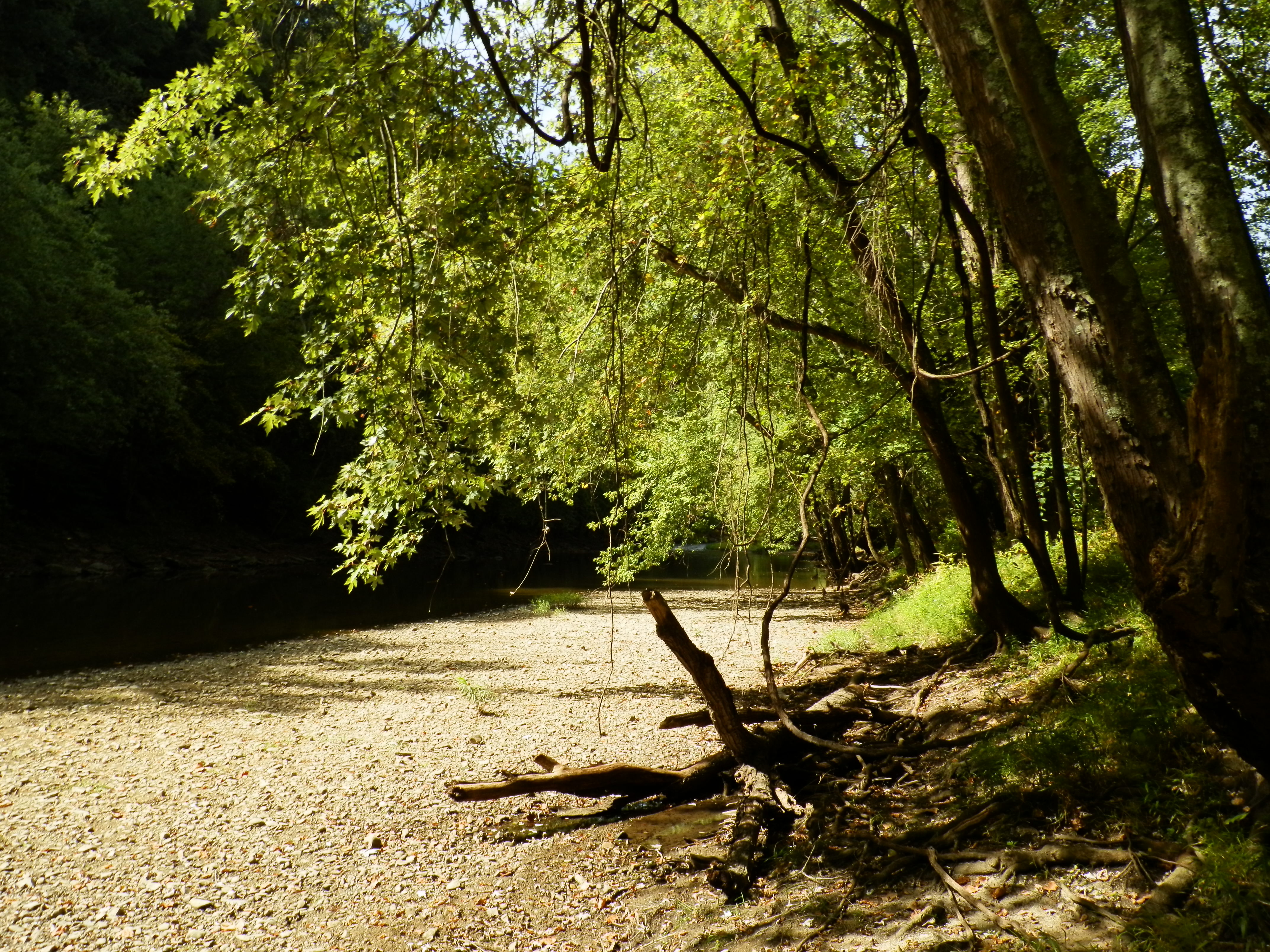
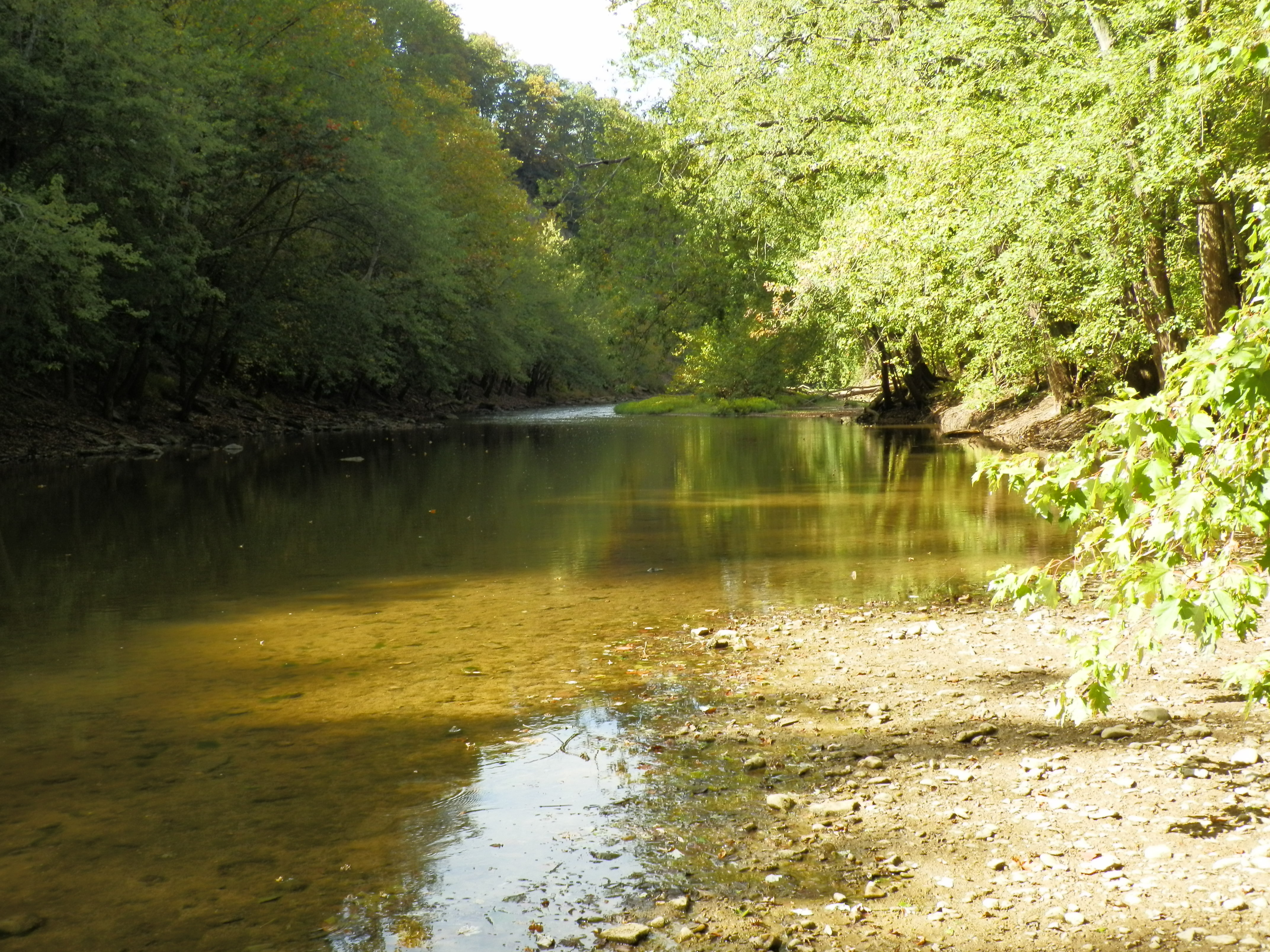
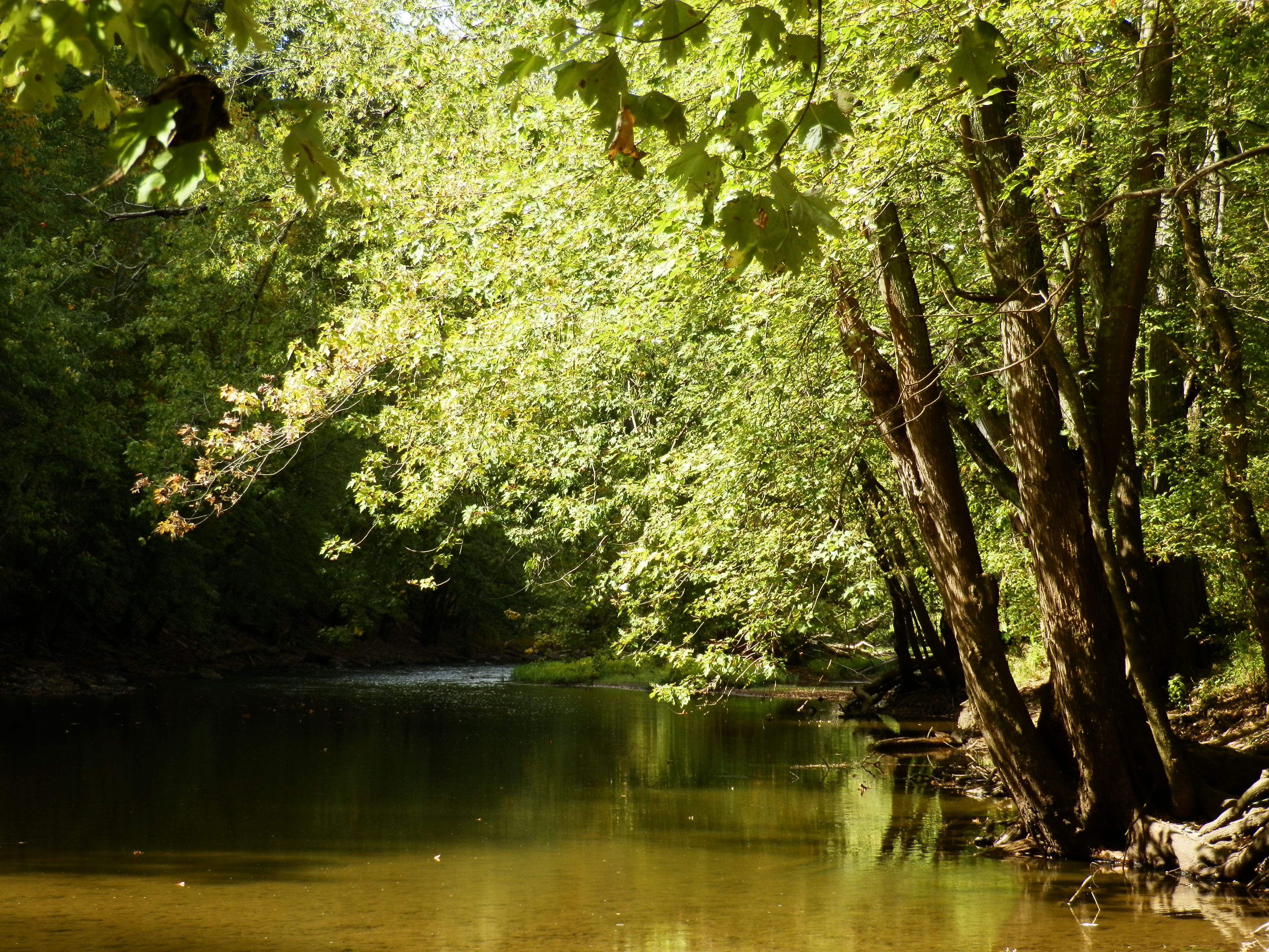
Paint Creek Valley, Looking Northeast — Bainbridge, OH
Paint Creek Valley, Looking North — Bainbridge, OH
Bainbridge, OH
Paint Creek Valley, Looking South — Bainbridge, OH
Pike Lake: Upward View in the Tree
more flood

"Reflections"
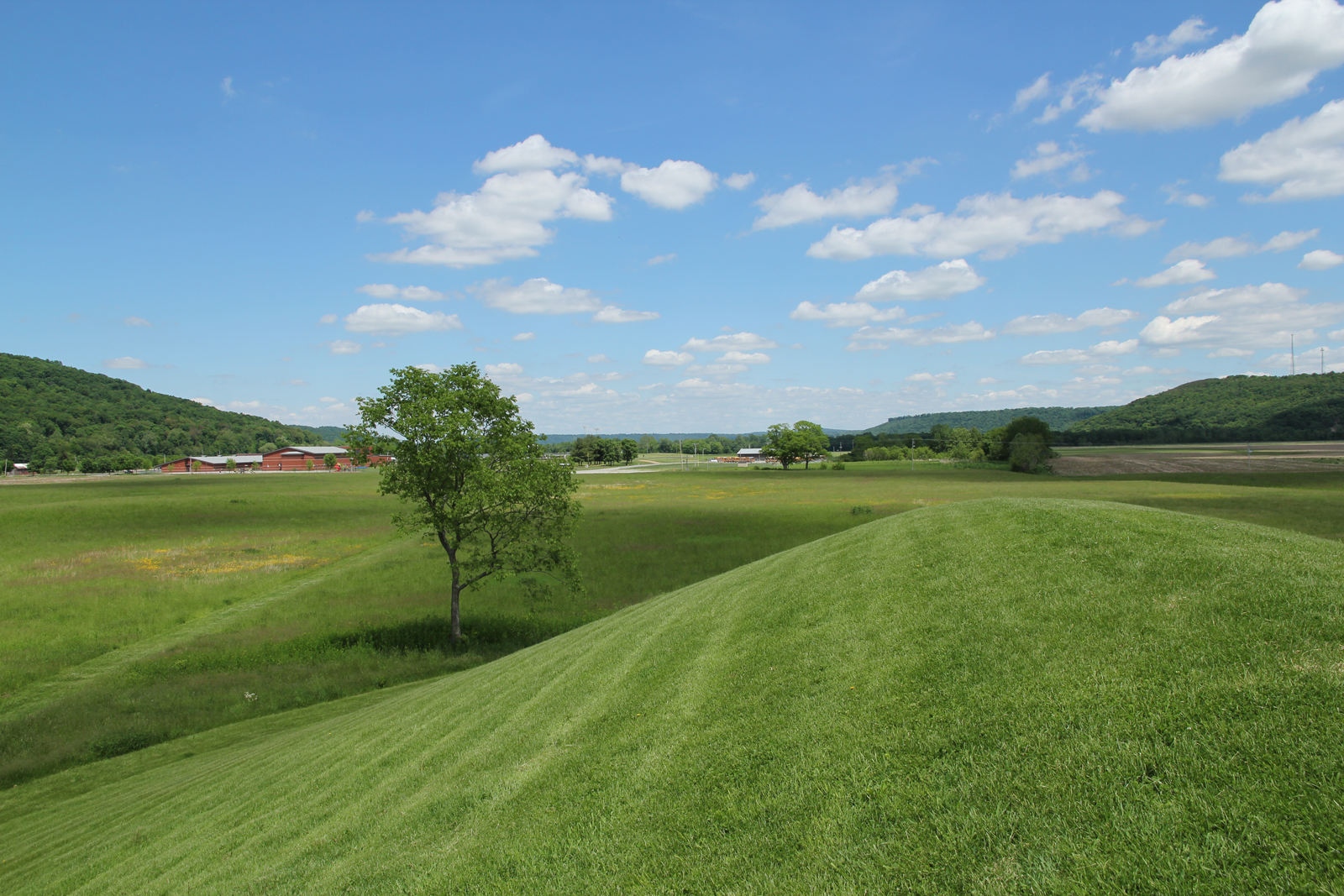
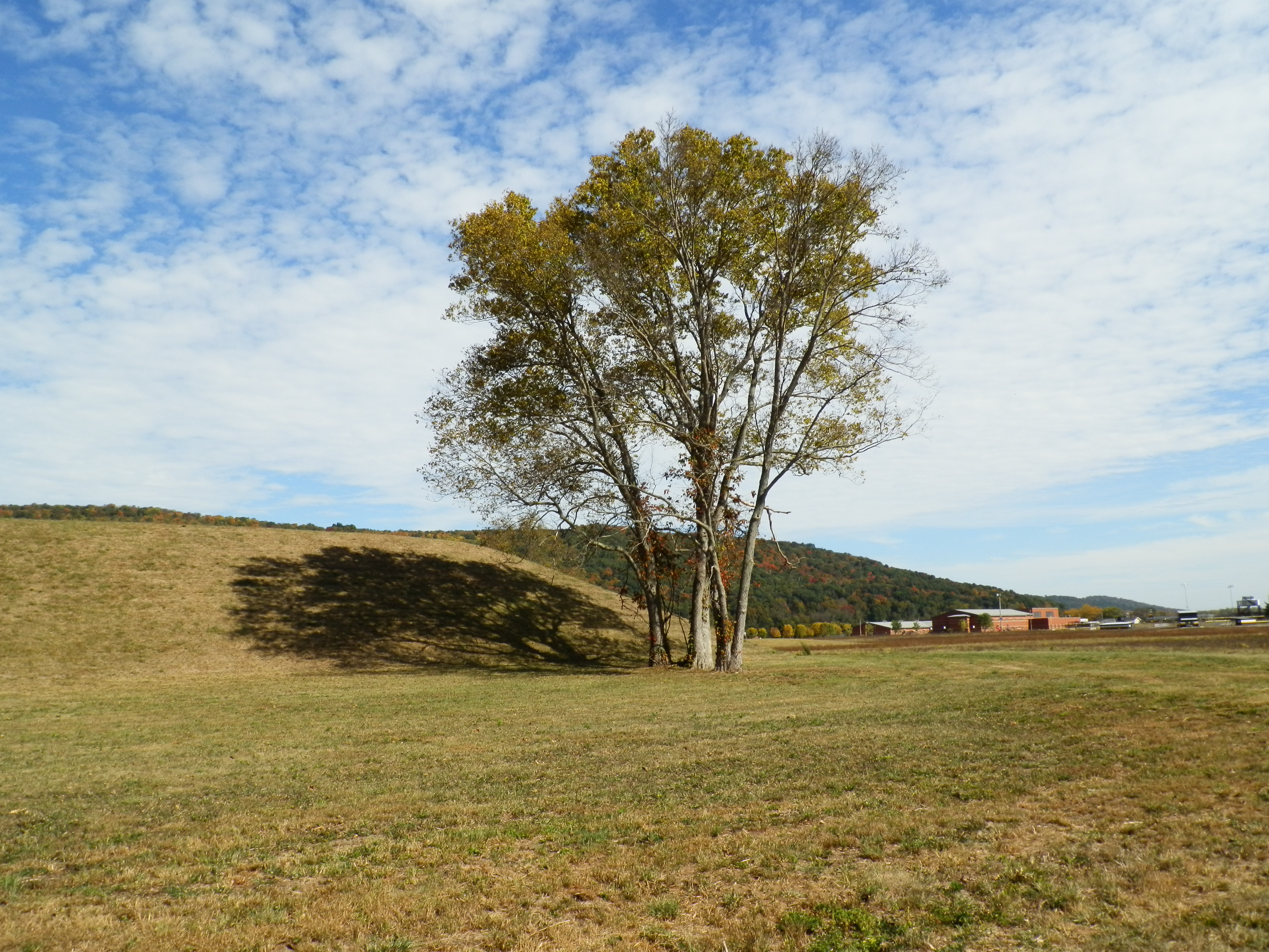
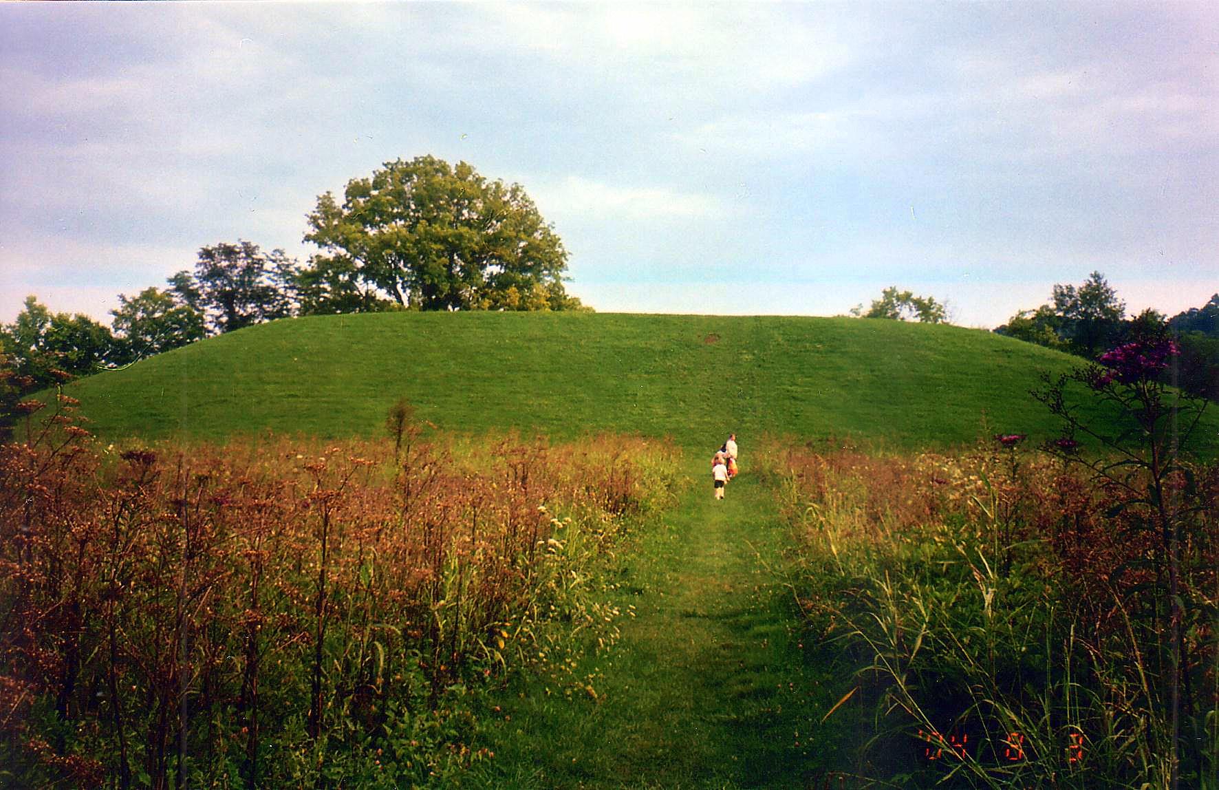
Seip Earthworks
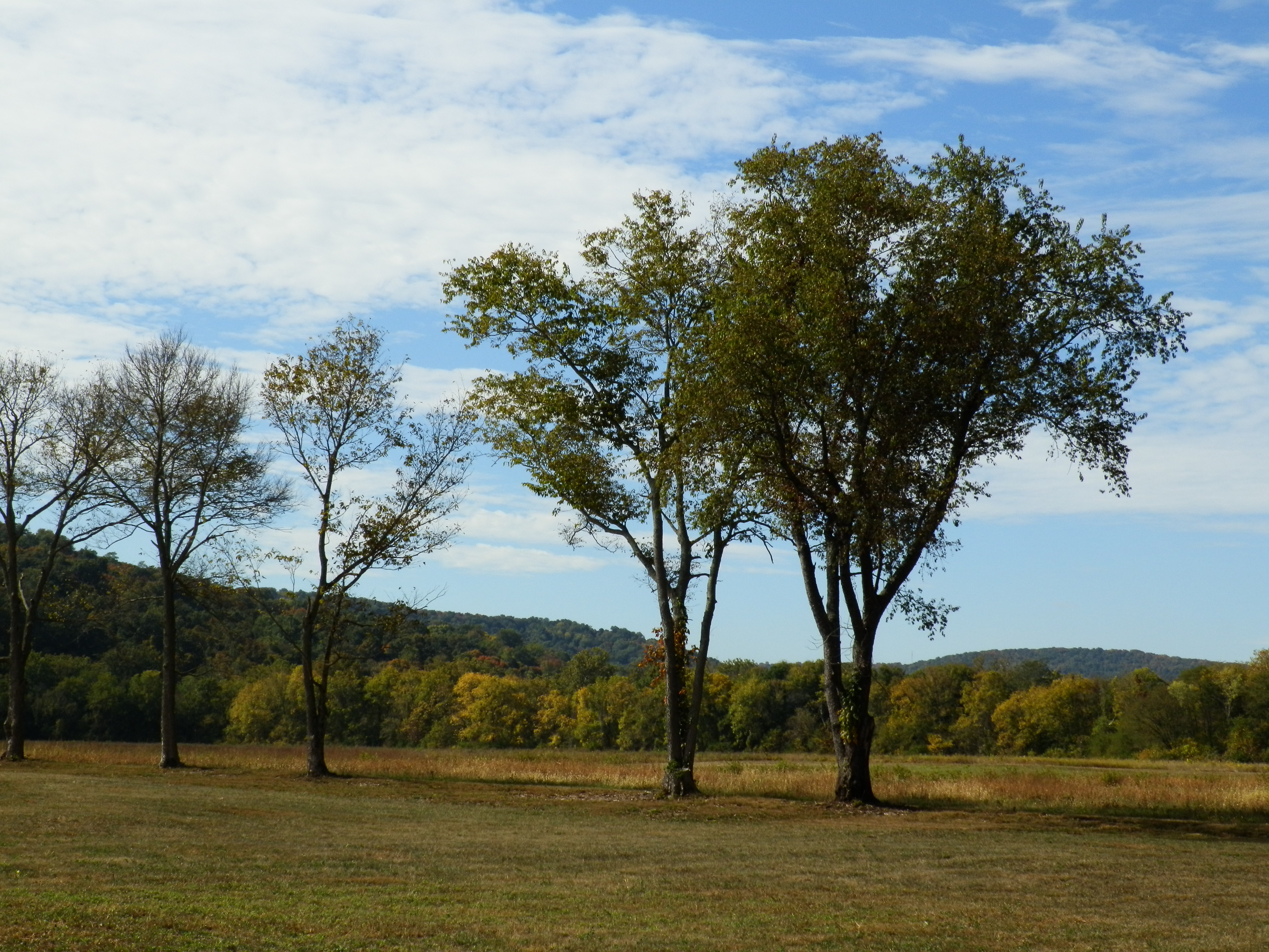
Fall Foliage
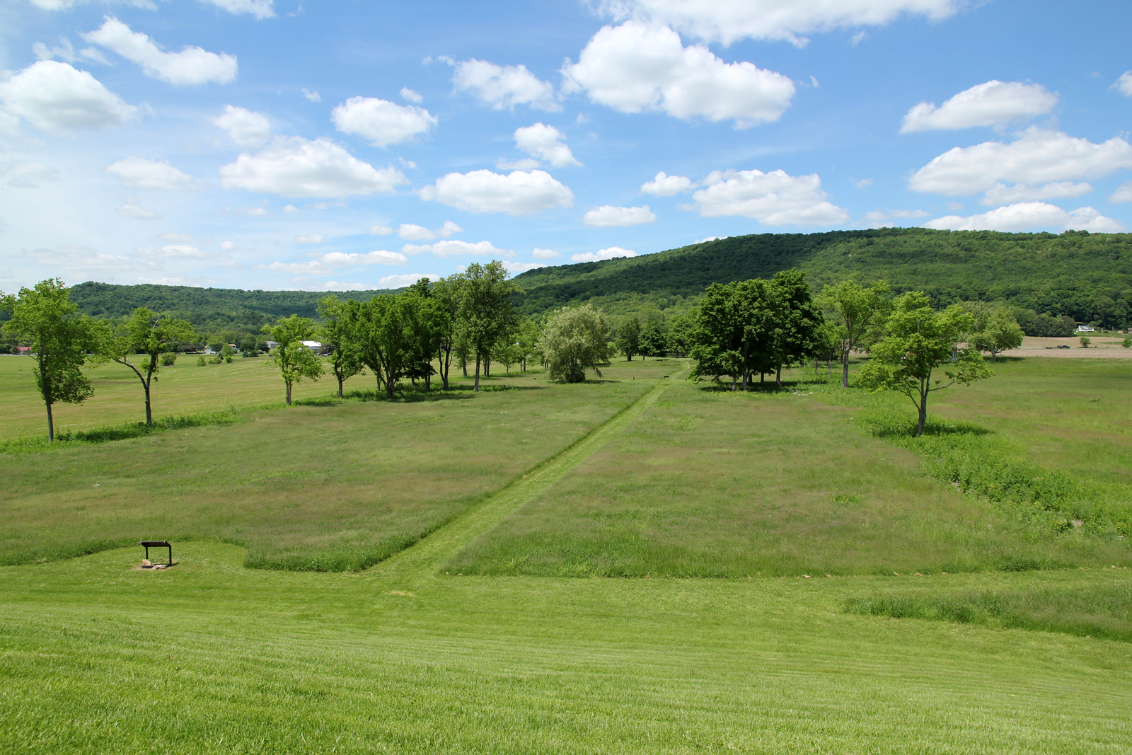
Hopewell Culture NHP, OH
Hopewell Culture NHP, OH
Hopewell Culture NHP, OH
Hopewell Culture NHP, OH
Hopewell Culture NHP, OH

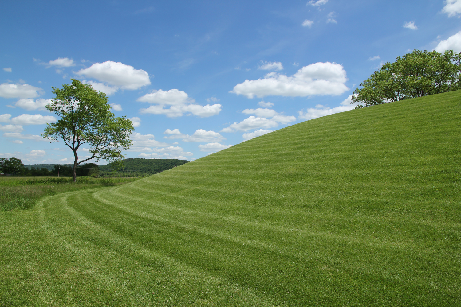
Backside of Seip Mound
Hopewell Culture NHP, OH
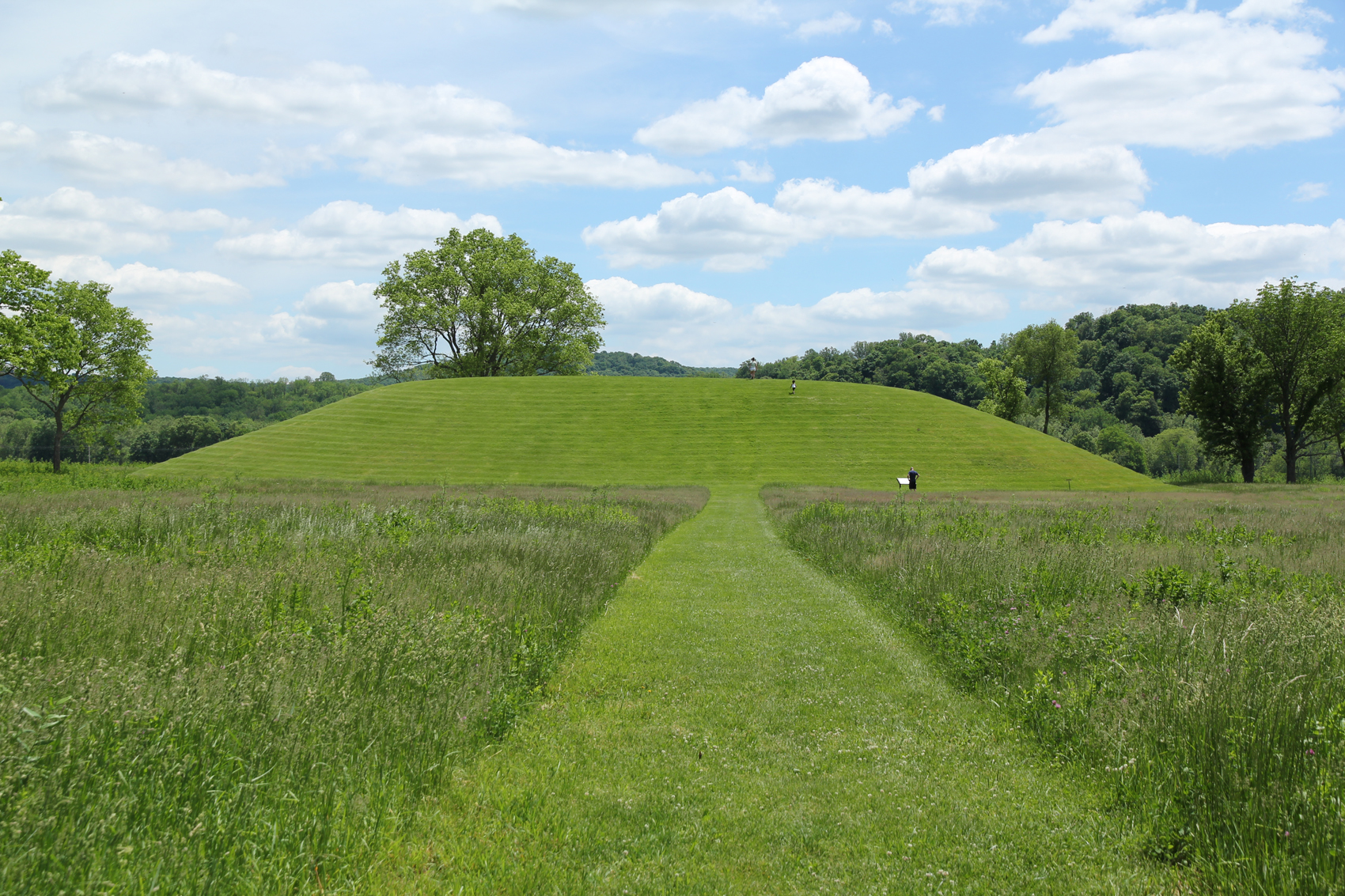
Seip Mound — Bainbridge, OH
Seip Mound — Bainbridge, OH

Eeny Oony Wana! Eeny Oony Wana!
Hopewell Culture NHP, OH
Hopewell Culture NHP, OH
Eeny Oony Wana! Eeny Oony Wana!
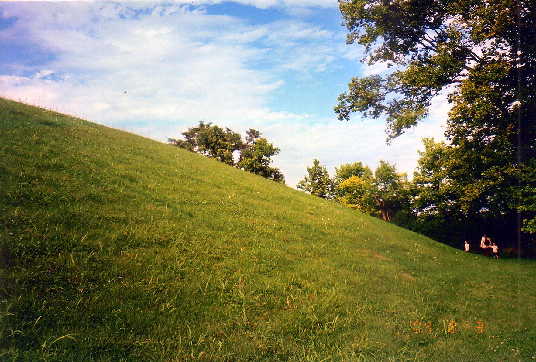
Backside of Seip Mound
Topographic Map of Morgans Fork Rd, Bainbridge, OH, USA
Find elevation by address:

Places near Morgans Fork Rd, Bainbridge, OH, USA:
1317 Morgans Fork Rd
Benton Township
OH-, Latham, OH, USA
Latham
7959 Oh-124
21676 Oh-772
OH-, Piketon, OH, USA
Mifflin Township
Lapperell Rd, Peebles, OH, USA
1718 Nipgen Rd
Chenoweth Fork Rd, Piketon, OH, USA
Arkoe
3253 Co Rd 1
Waldren Hill Road
Pebble Township
2677 Beavers Ridge Rd
Sunfish Township
2657 Beavers Ridge Rd
Drybone Rd, Peebles, OH, USA
649 Copeland Rd
Recent Searches:
- Elevation of 6 Rue Jules Ferry, Beausoleil, France
- Elevation of Sattva Horizon, 4JC6+G9P, Vinayak Nagar, Kattigenahalli, Bengaluru, Karnataka, India
- Elevation of Great Brook Sports, Gold Star Hwy, Groton, CT, USA
- Elevation of 10 Mountain Laurels Dr, Nashua, NH, USA
- Elevation of 16 Gilboa Ln, Nashua, NH, USA
- Elevation of Laurel Rd, Townsend, TN, USA
- Elevation of 3 Nestling Wood Dr, Long Valley, NJ, USA
- Elevation of Ilungu, Tanzania
- Elevation of Yellow Springs Road, Yellow Springs Rd, Chester Springs, PA, USA
- Elevation of Rēzekne Municipality, Latvia