Elevation of Nipgen Rd, Waverly, OH, USA
Location: United States > Ohio > Pike County > Pebble Township >
Longitude: -83.125196
Latitude: 39.1779231
Elevation: 300m / 984feet
Barometric Pressure: 98KPa
Elevation Map:
Satellite Map:
Related Photos:

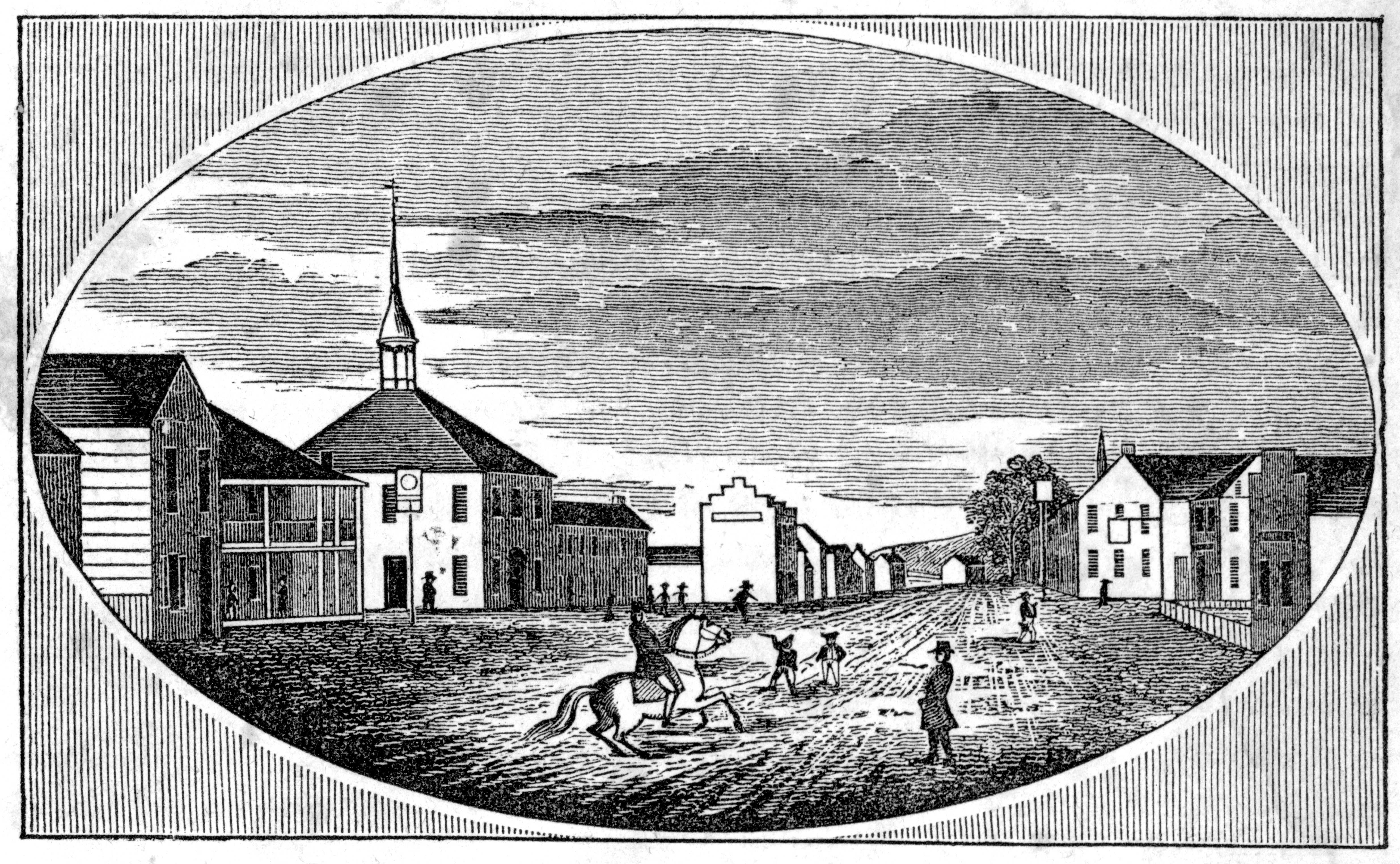
Rear, Christian Benner House — Paxton Township, Ross County, Ohio
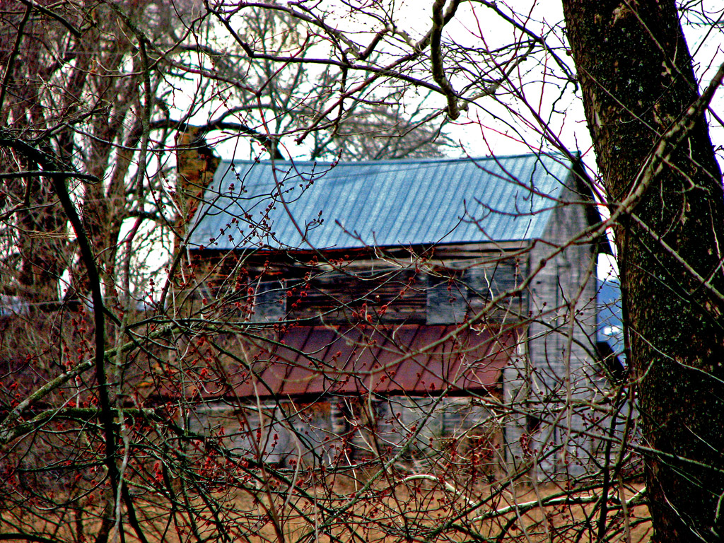
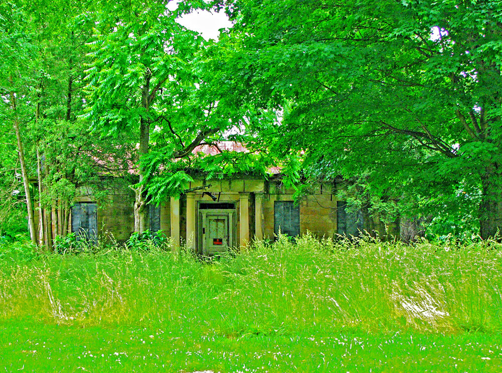
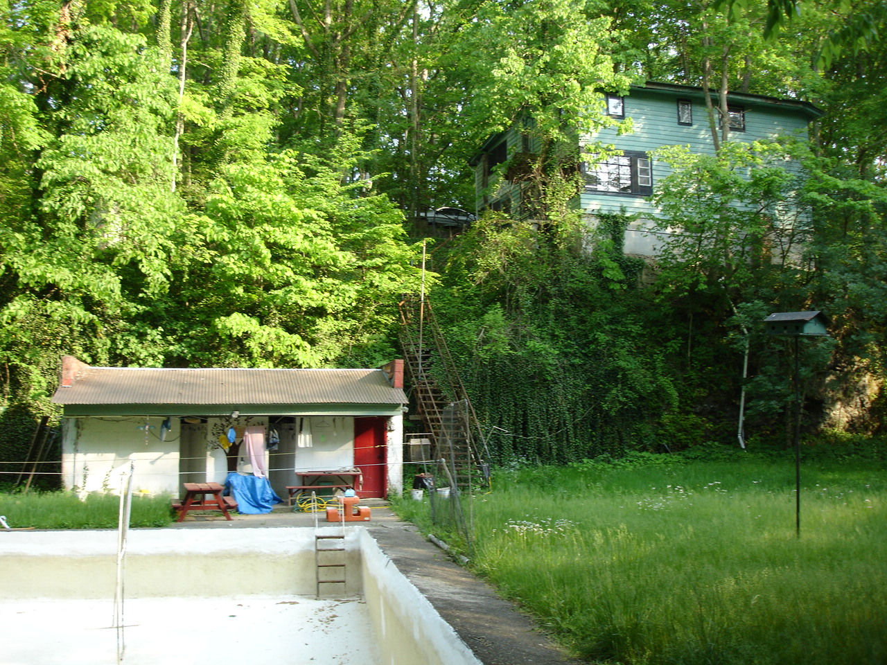
Abandoned Abode
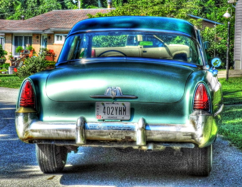
1953 Lincoln Capri

Souvenirs (B&W)
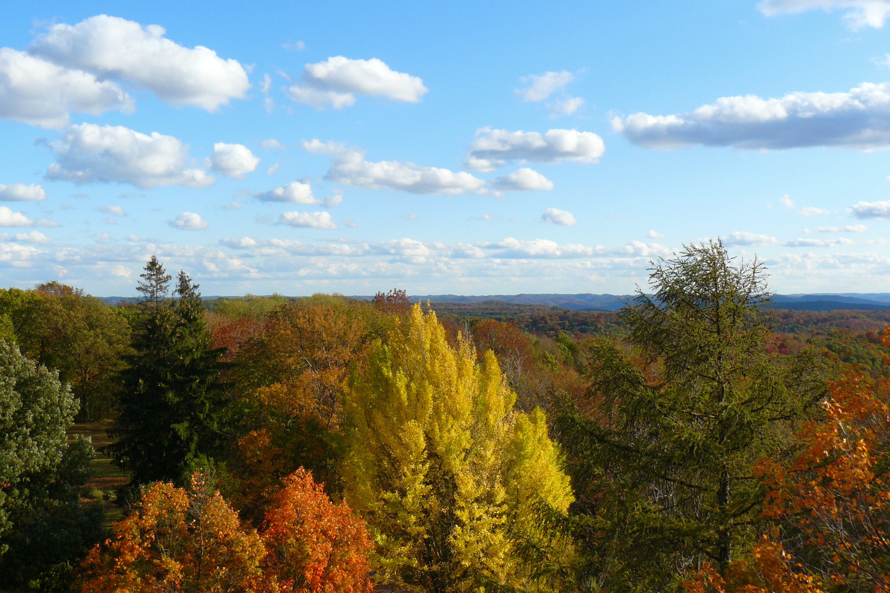
The View North

1953 Lincoln Capri (2)
Paint Creek Valley, Looking Northeast — Bainbridge, Ohio
The View East
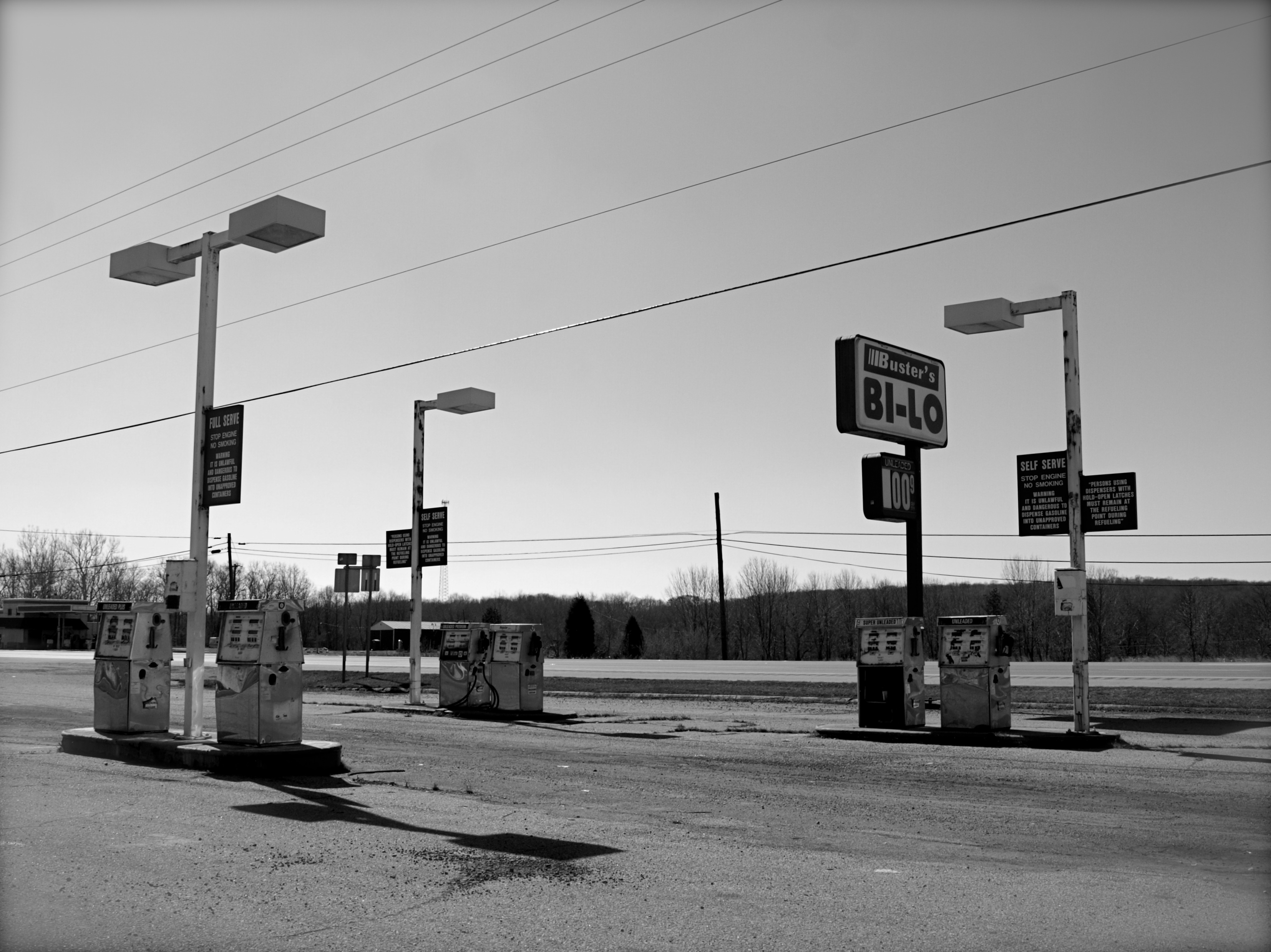
Abandoned Gas Station
View from Chenoweth Fork Valley

The View South
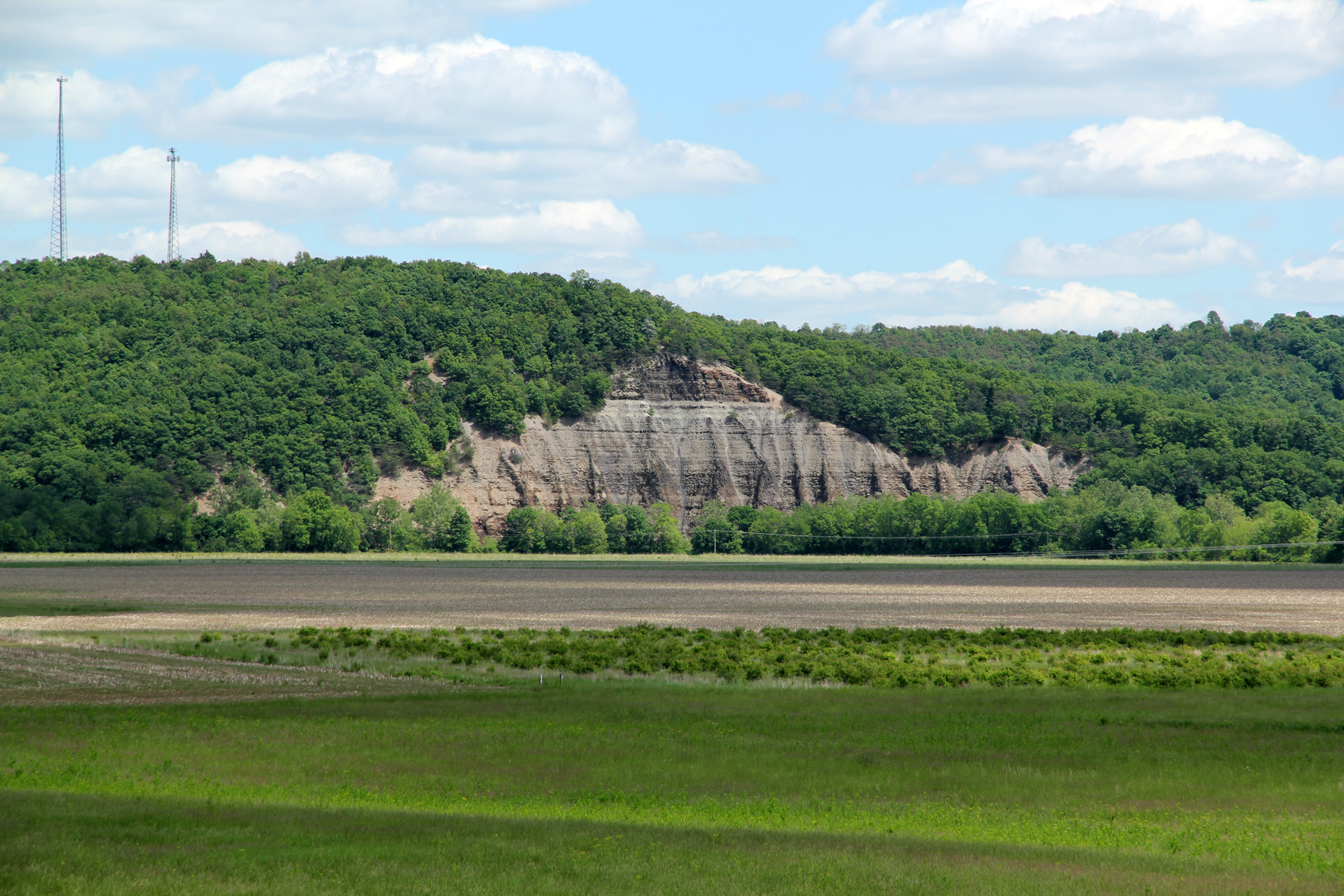
Cliff, Copperas Mountain — Twin Township, Ross County, Ohio
Jones-Cutler Historic House
View of Graded Way Near Piketon, Ohio
The View West

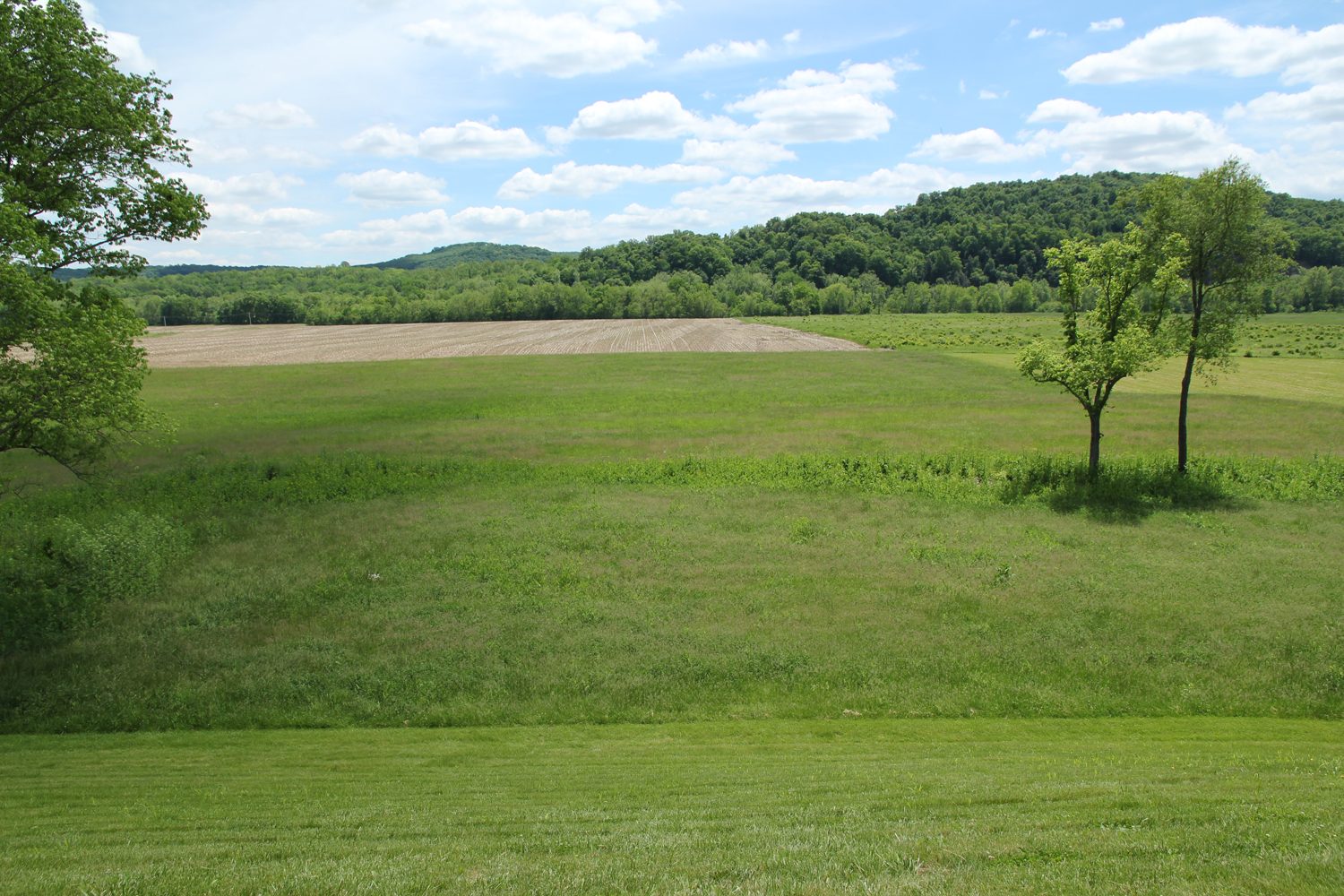
Scioto Valley Morning
Paint Creek Valley, Looking North — Bainbridge, Ohio
View in Piketon
Bainbridge, OH
Paint Creek Valley, Looking South — Bainbridge, Ohio
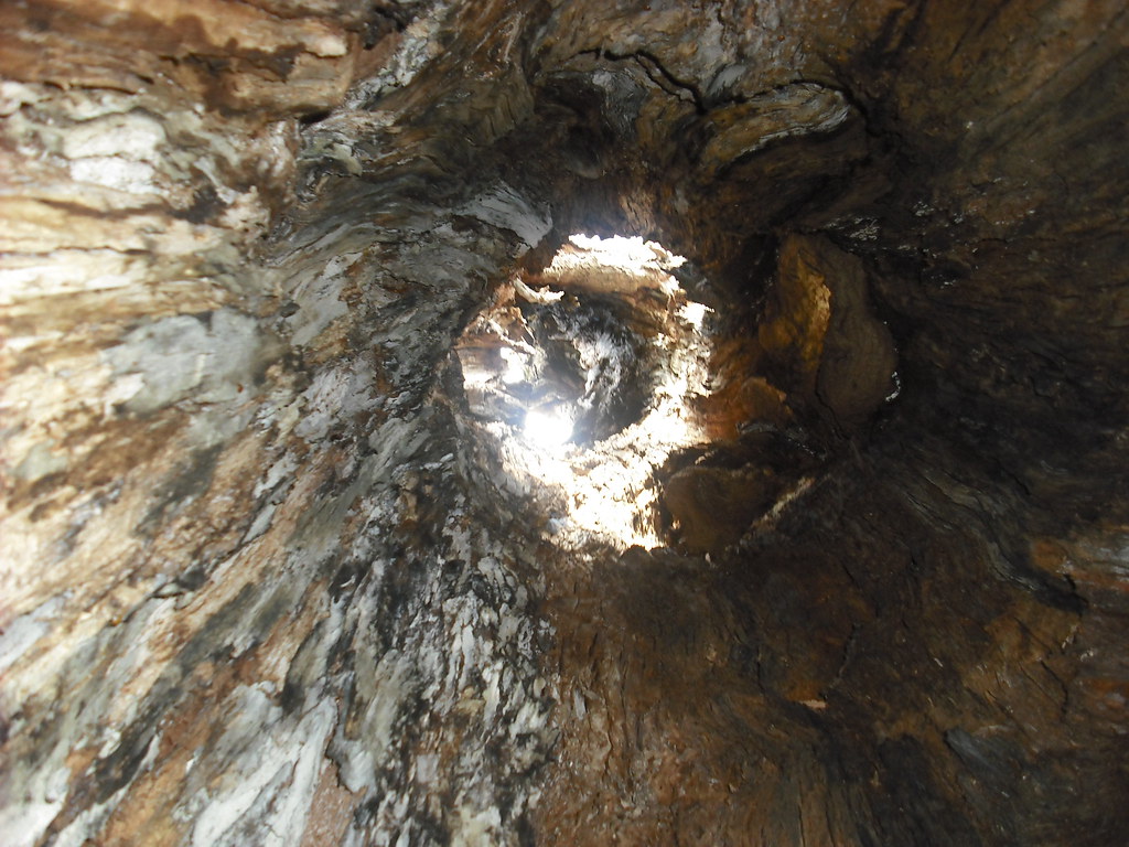
Pike Lake: Upward View in the Tree

"Reflections"
Hopewell Culture NHP, OH

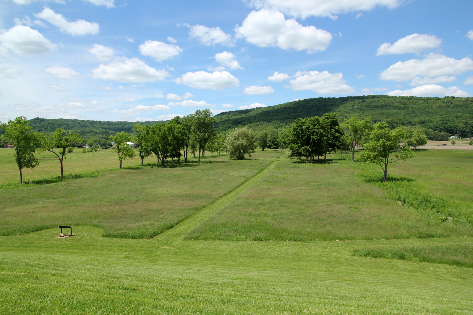
seim earthworks view
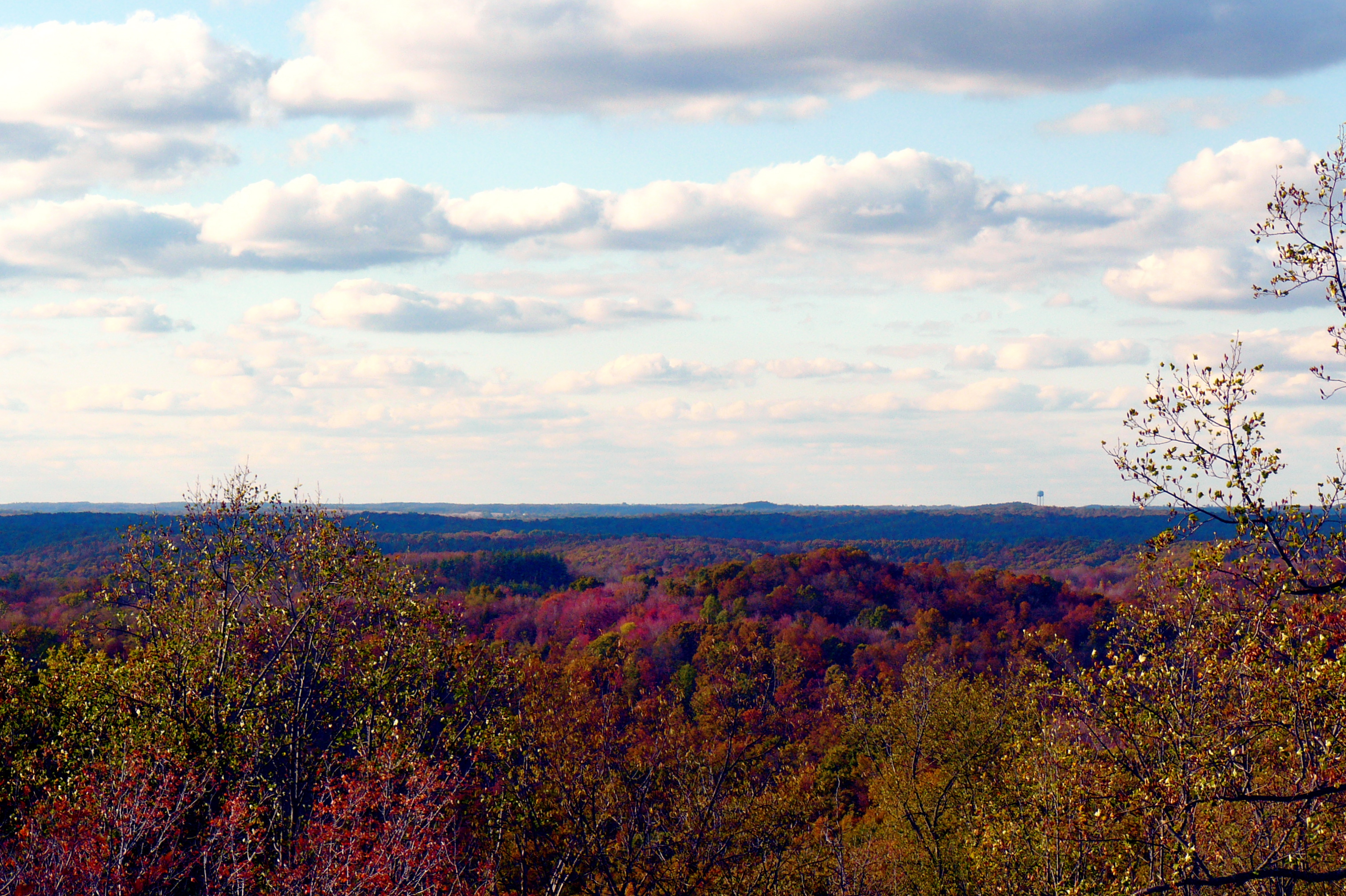
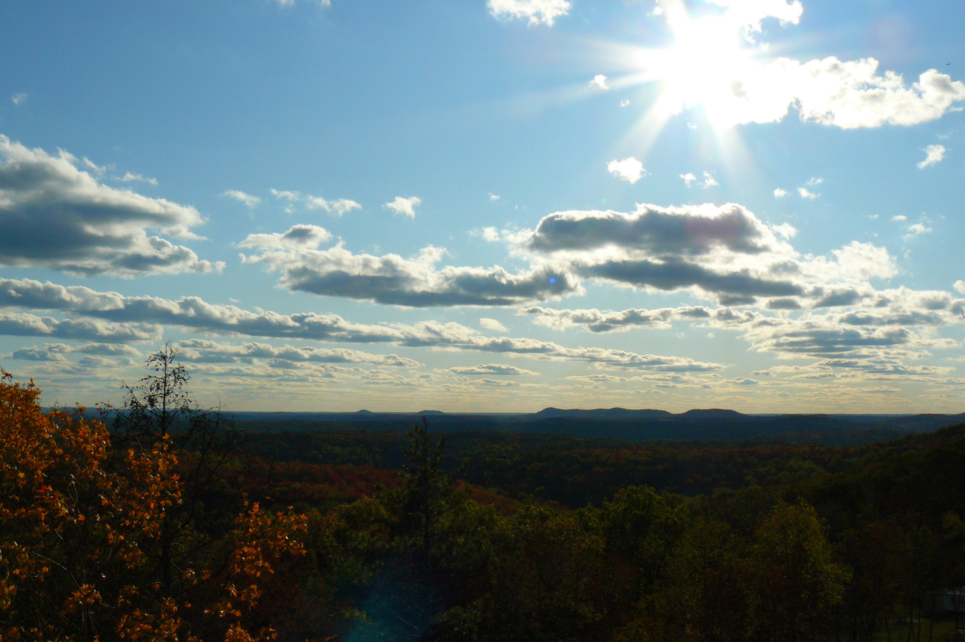
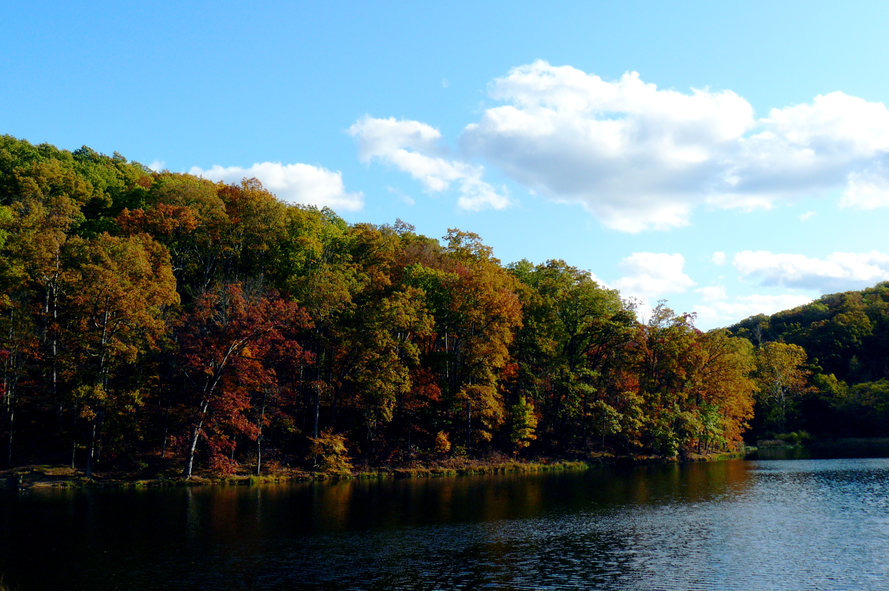
Fall Foliage
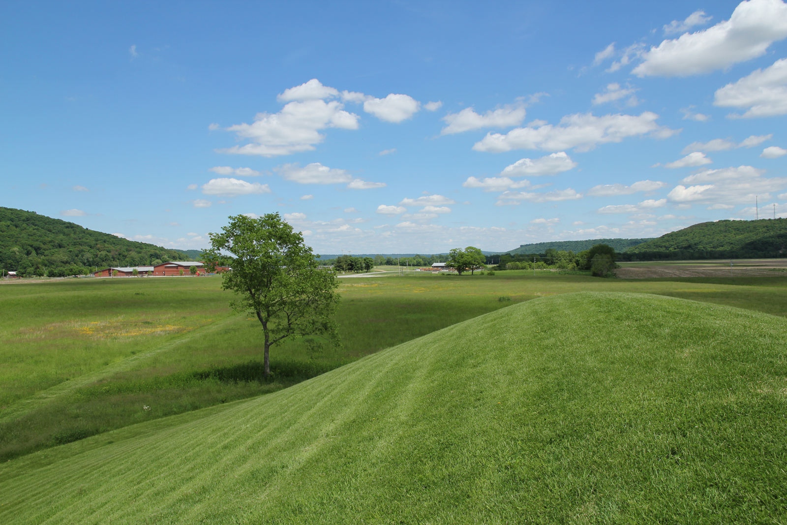
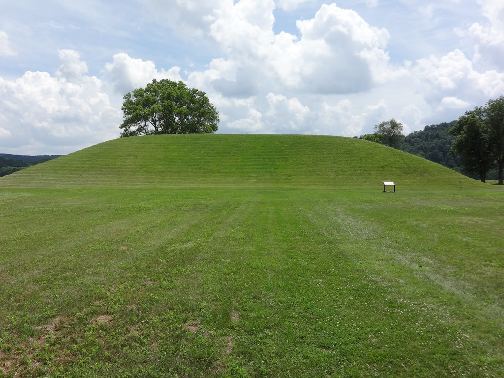
Seip Mound — Bainbridge, Ohio
Seip Mound — Bainbridge, Ohio
Stewart Lake

Eeny Oony Wana! Eeny Oony Wana!
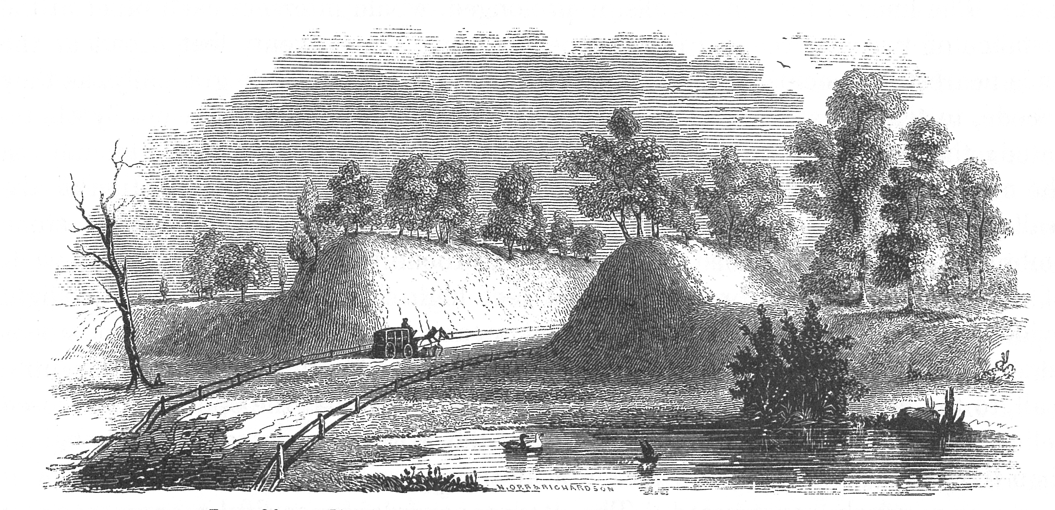
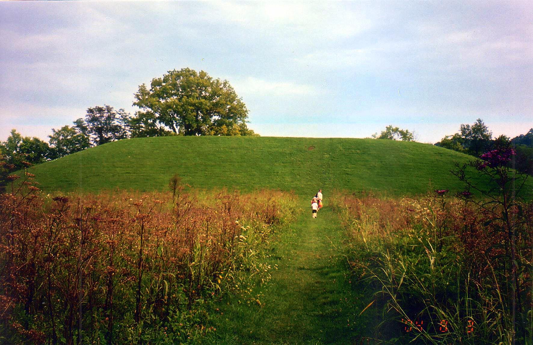
Seip Earthworks

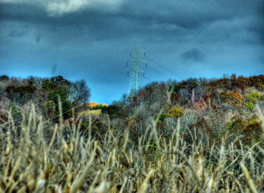
Scioto Trail Forest Road

Winter Sky 5~365
Eeny Oony Wana! Eeny Oony Wana!
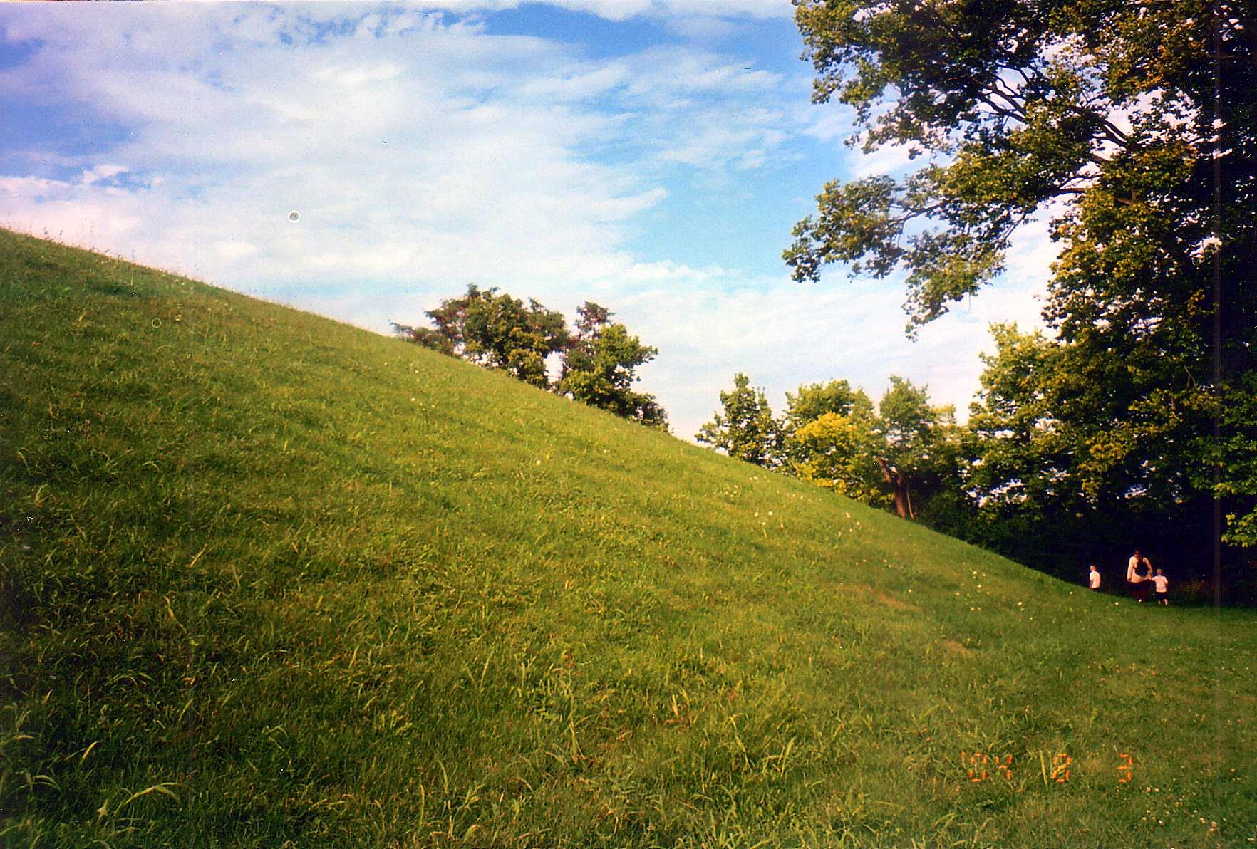
Backside of Seip Mound
Bainbridge, OH

Pike Lake
Topographic Map of Nipgen Rd, Waverly, OH, USA
Find elevation by address:

Places near Nipgen Rd, Waverly, OH, USA:
21676 Oh-772
Pebble Township
649 Copeland Rd
1317 Morgans Fork Rd
Morgans Fork Rd, Bainbridge, OH, USA
OH-, Piketon, OH, USA
Benton Township
Waldren Hill Road
Skyline Dr, Waverly, OH, USA
Pee Pee Township
Newton Township
Pike Water Inc.
Adena Pike Medical Center
Pike County
Prussia Road
East 2nd Street
OH-, Latham, OH, USA
Latham
7959 Oh-124
Victory Drive
Recent Searches:
- Elevation of Steadfast Ct, Daphne, AL, USA
- Elevation of Lagasgasan, X+CQH, Tiaong, Quezon, Philippines
- Elevation of Rojo Ct, Atascadero, CA, USA
- Elevation of Flagstaff Drive, Flagstaff Dr, North Carolina, USA
- Elevation of Avery Ln, Lakeland, FL, USA
- Elevation of Woolwine, VA, USA
- Elevation of Lumagwas Diversified Farmers Multi-Purpose Cooperative, Lumagwas, Adtuyon, RV32+MH7, Pangantucan, Bukidnon, Philippines
- Elevation of Homestead Ridge, New Braunfels, TX, USA
- Elevation of Orchard Road, Orchard Rd, Marlborough, NY, USA
- Elevation of 12 Hutchinson Woods Dr, Fletcher, NC, USA