Elevation of Copeland Rd, Waverly, OH, USA
Location: United States > Ohio > Pike County > Pebble Township >
Longitude: -83.077449
Latitude: 39.1395337
Elevation: 271m / 889feet
Barometric Pressure: 98KPa
Elevation Map:
Satellite Map:
Related Photos:
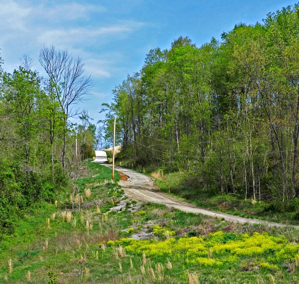
Long Driveway in Appalachia
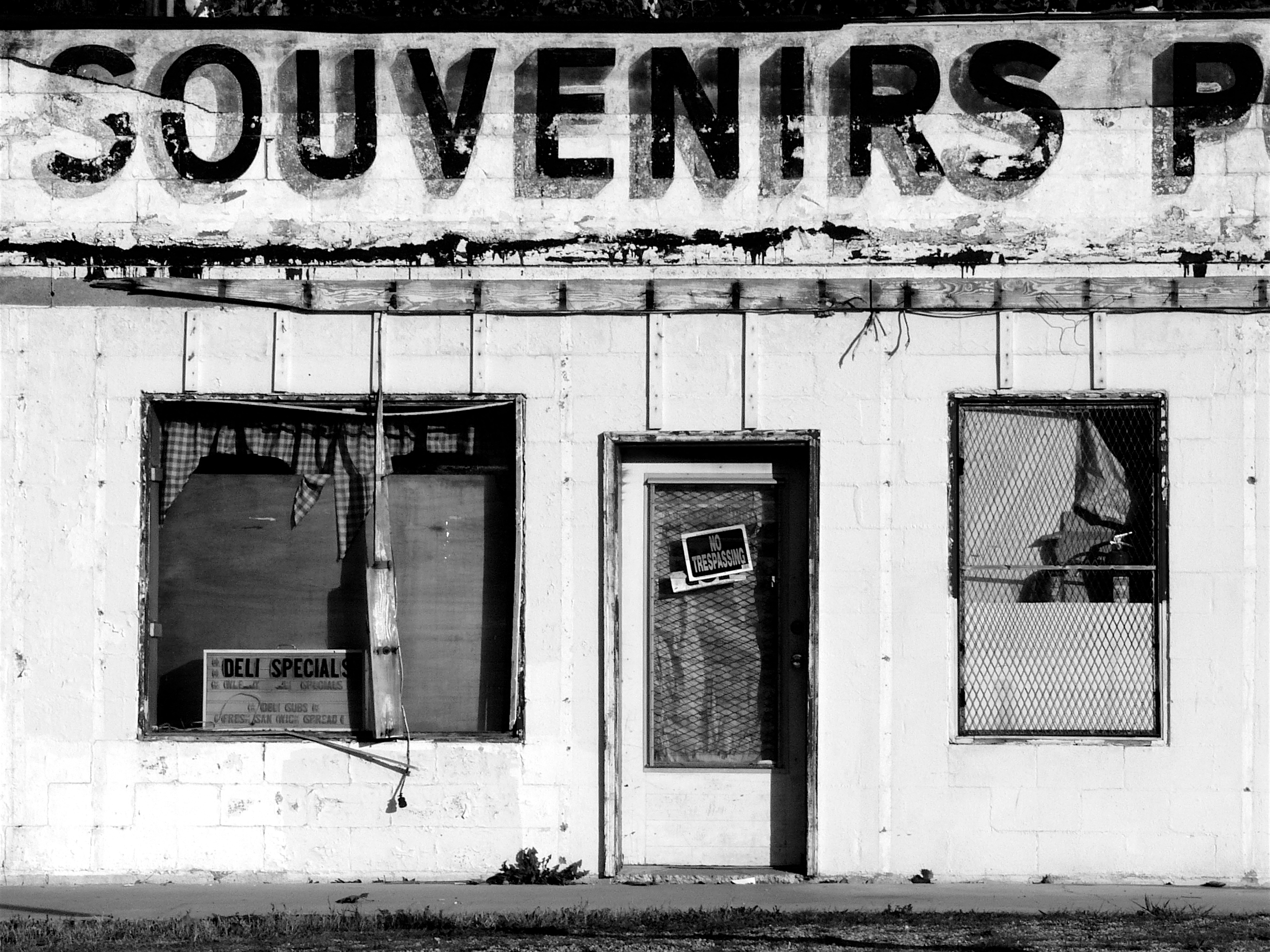
Souvenirs (B&W)
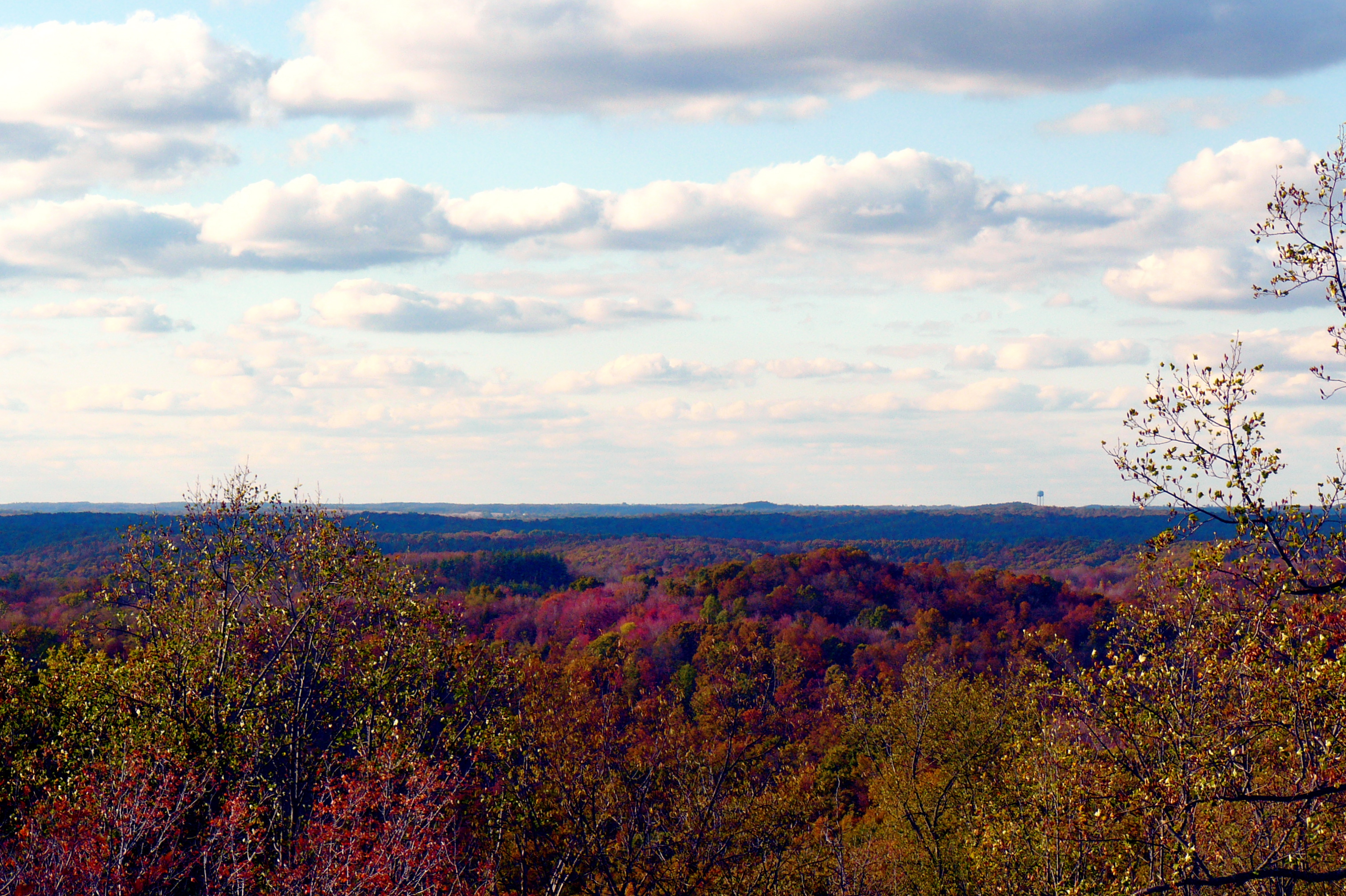
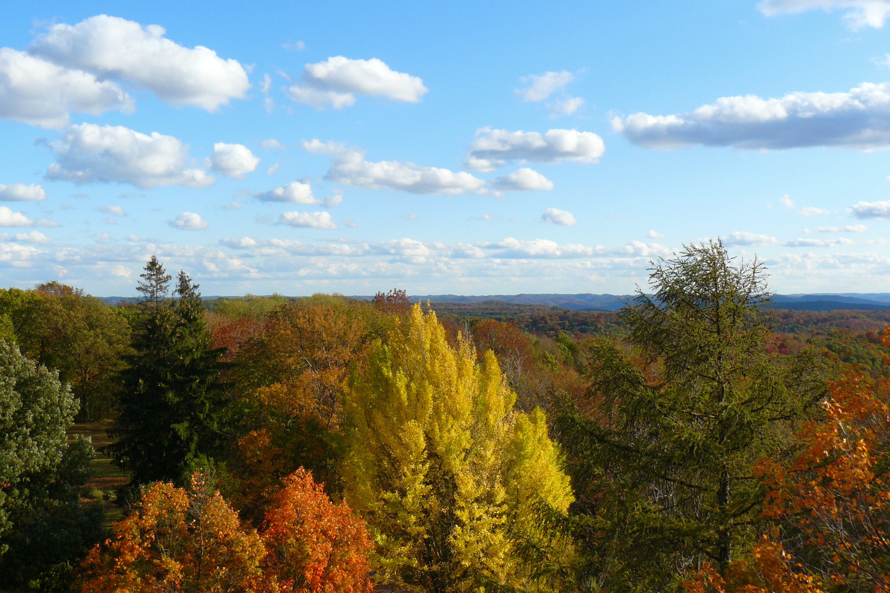
The View North
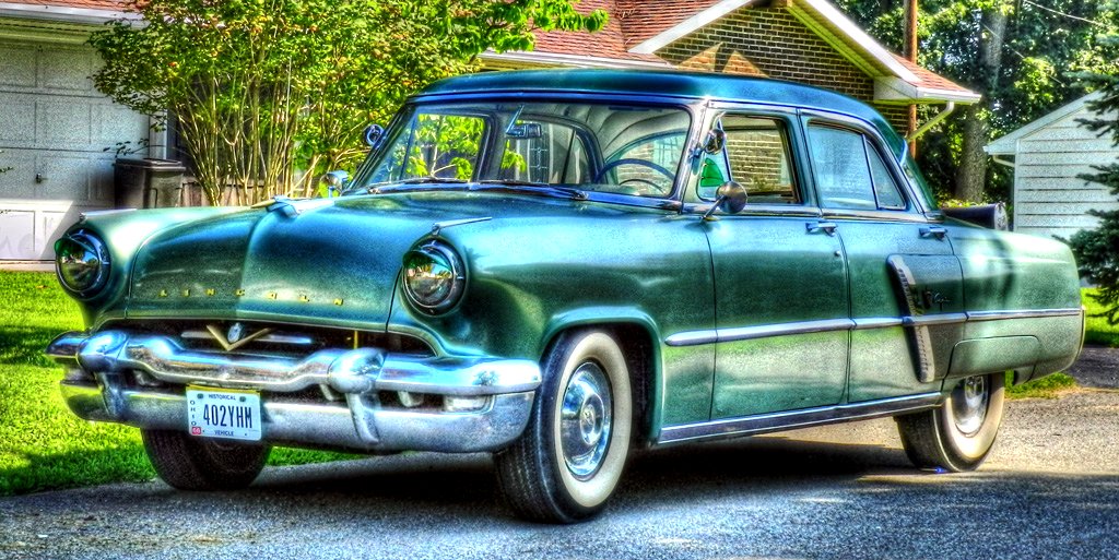
1953 Lincoln Capri (2)
The View East
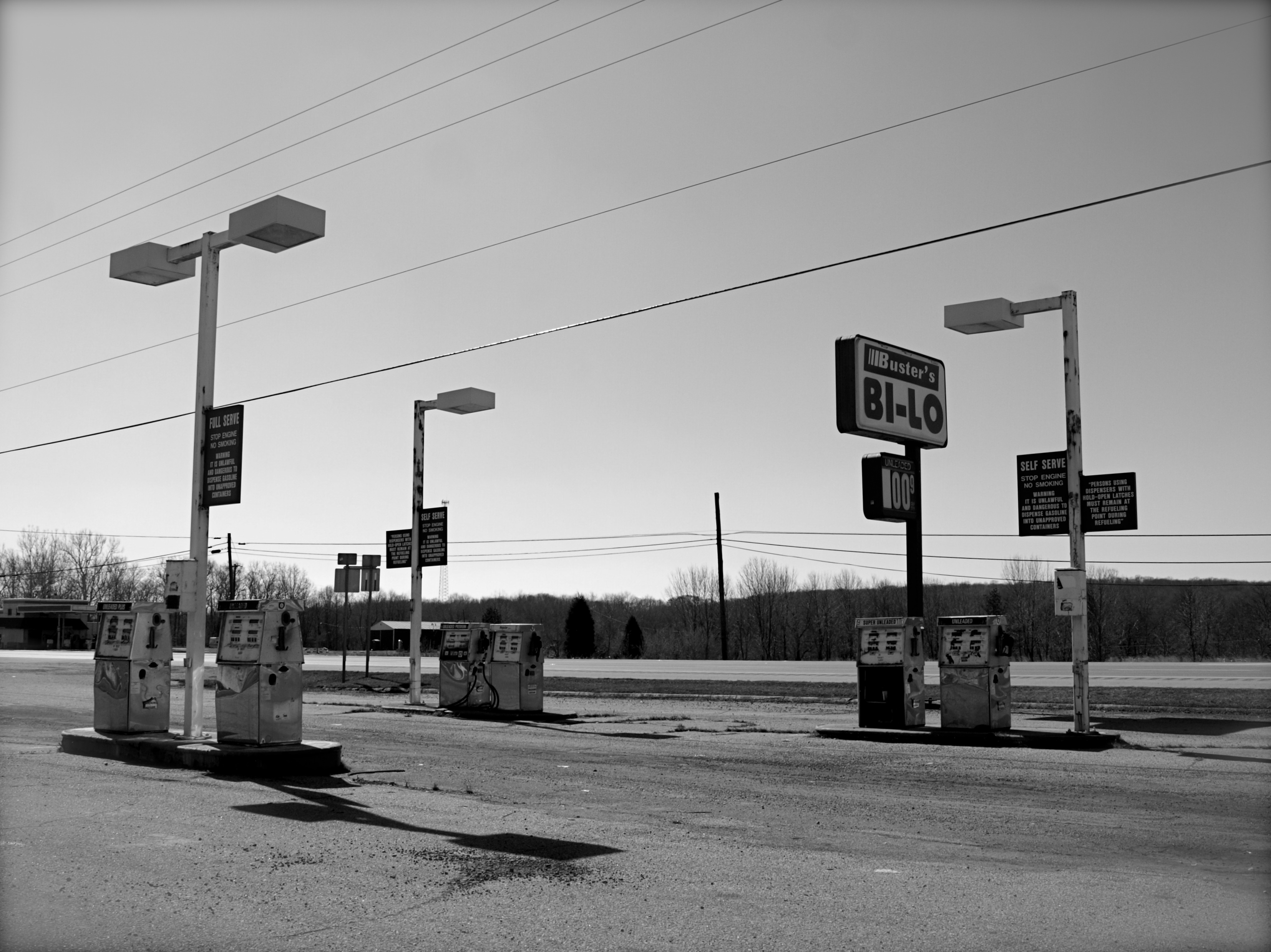
Abandoned Gas Station
View from Chenoweth Fork Valley

The View South
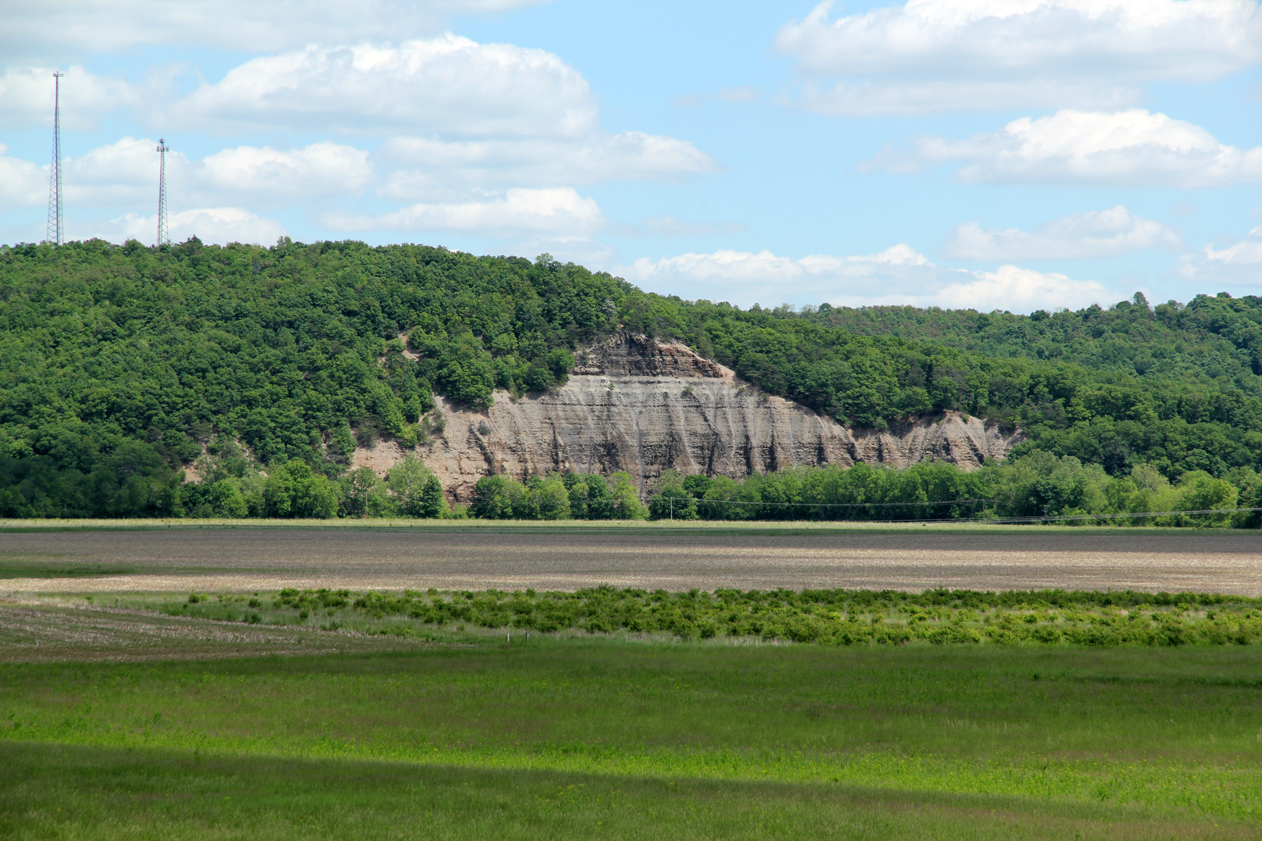
Cliff, Copperas Mountain — Twin Township, Ross County, Ohio
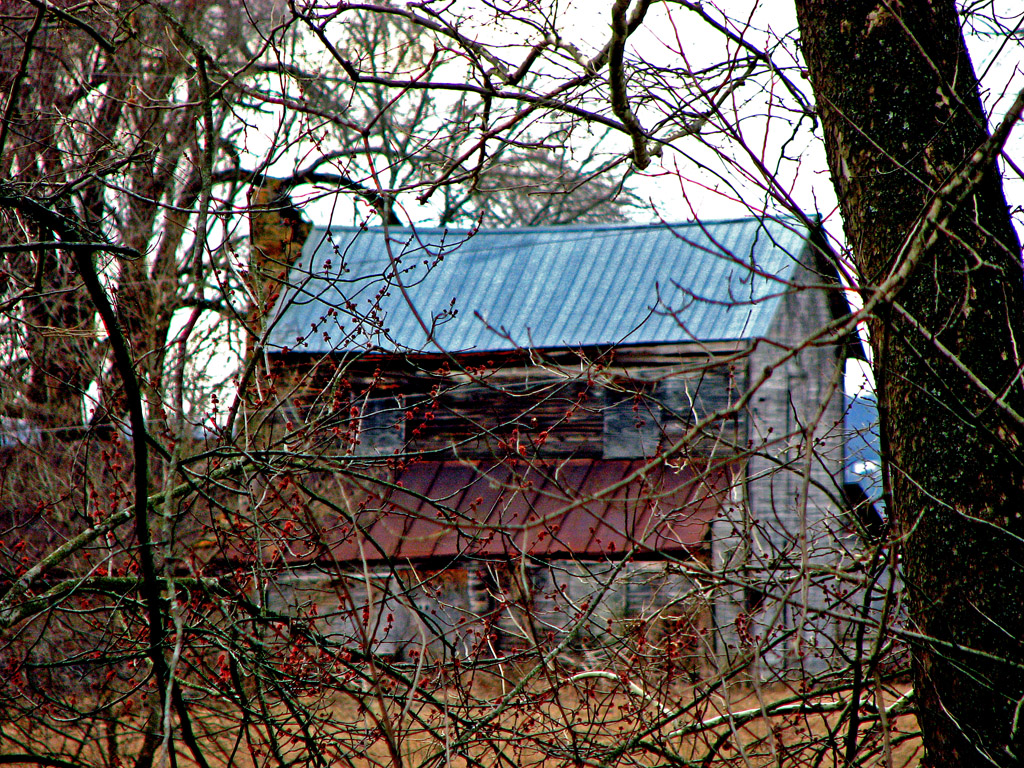
Jones-Cutler Historic House
View of Graded Way Near Piketon, Ohio
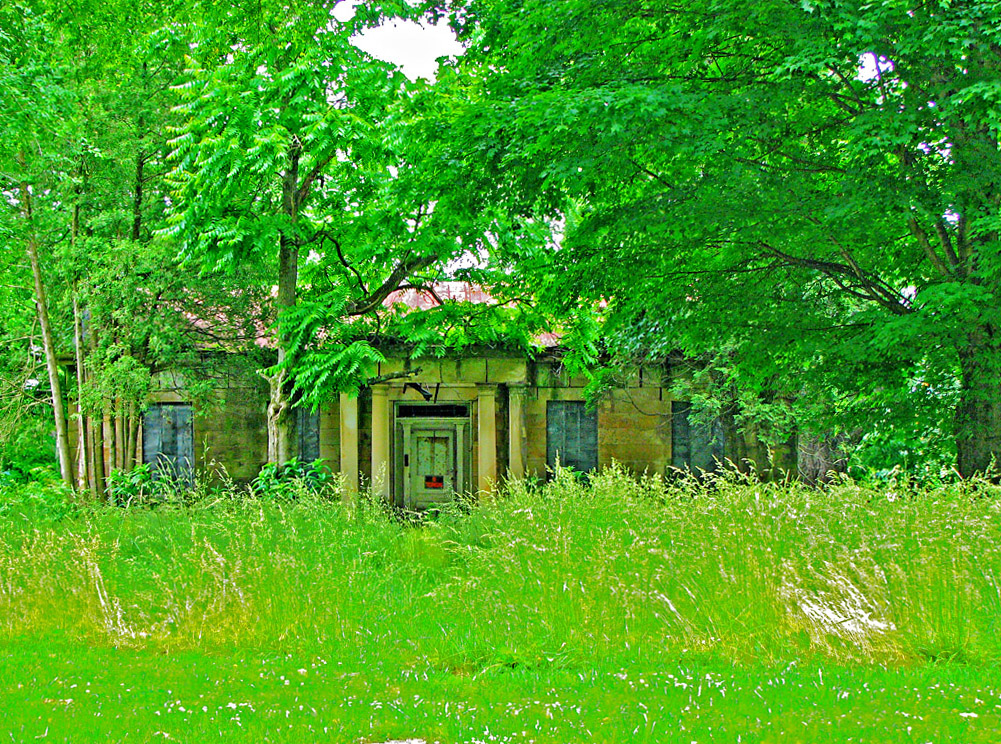
Abandoned Abode
The View West

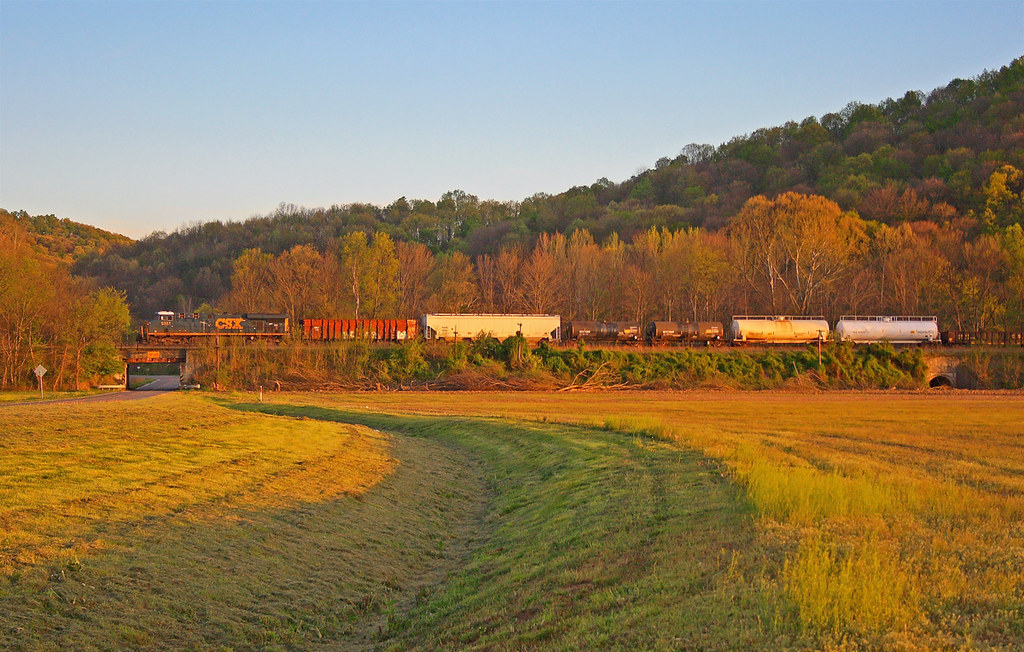
Scioto Valley Morning
View in Piketon
Pike Lake: Upward View in the Tree
more flood
View From The Bottom
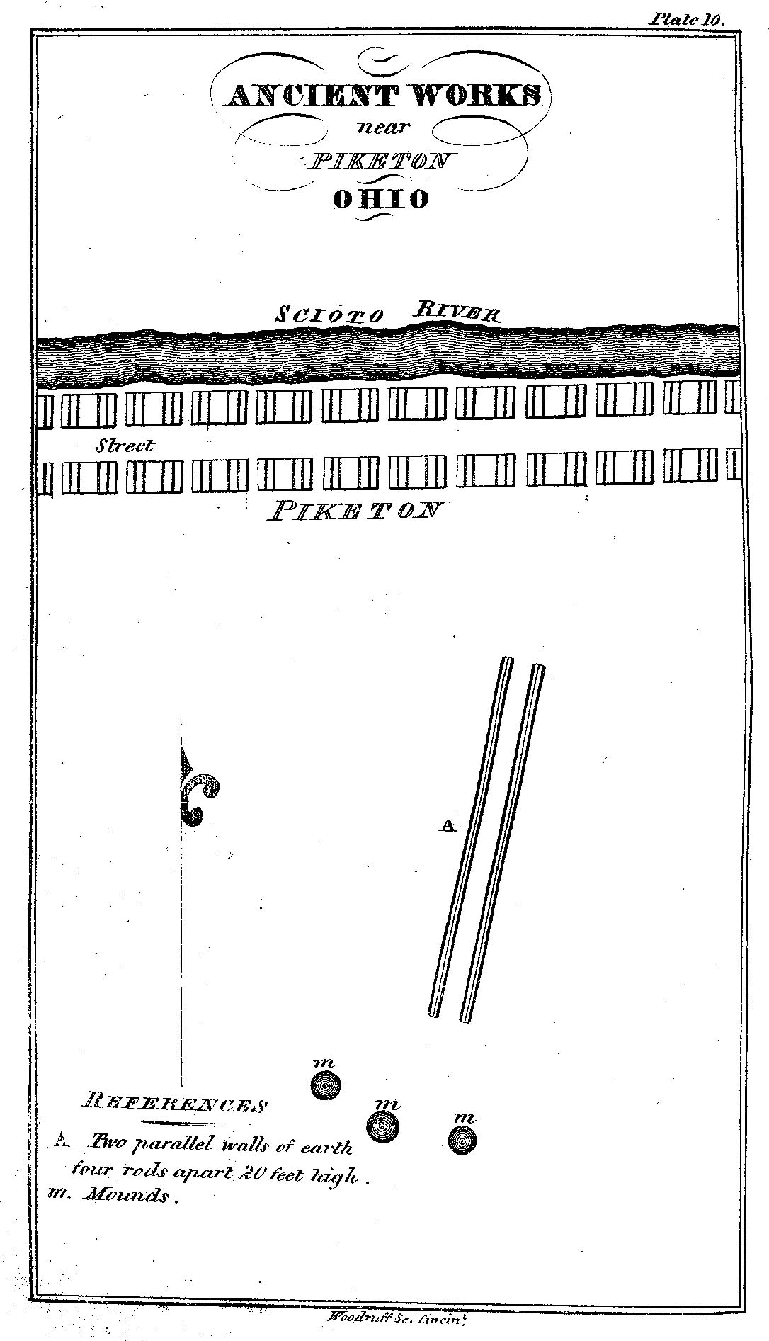
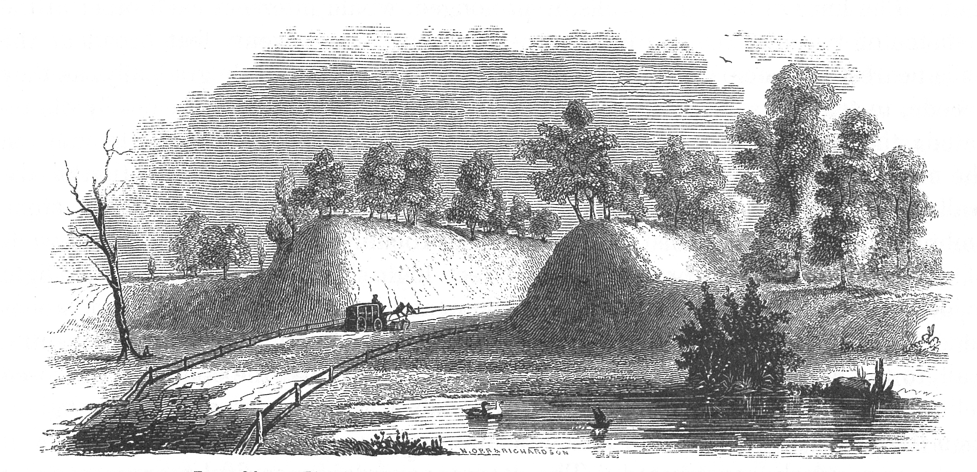
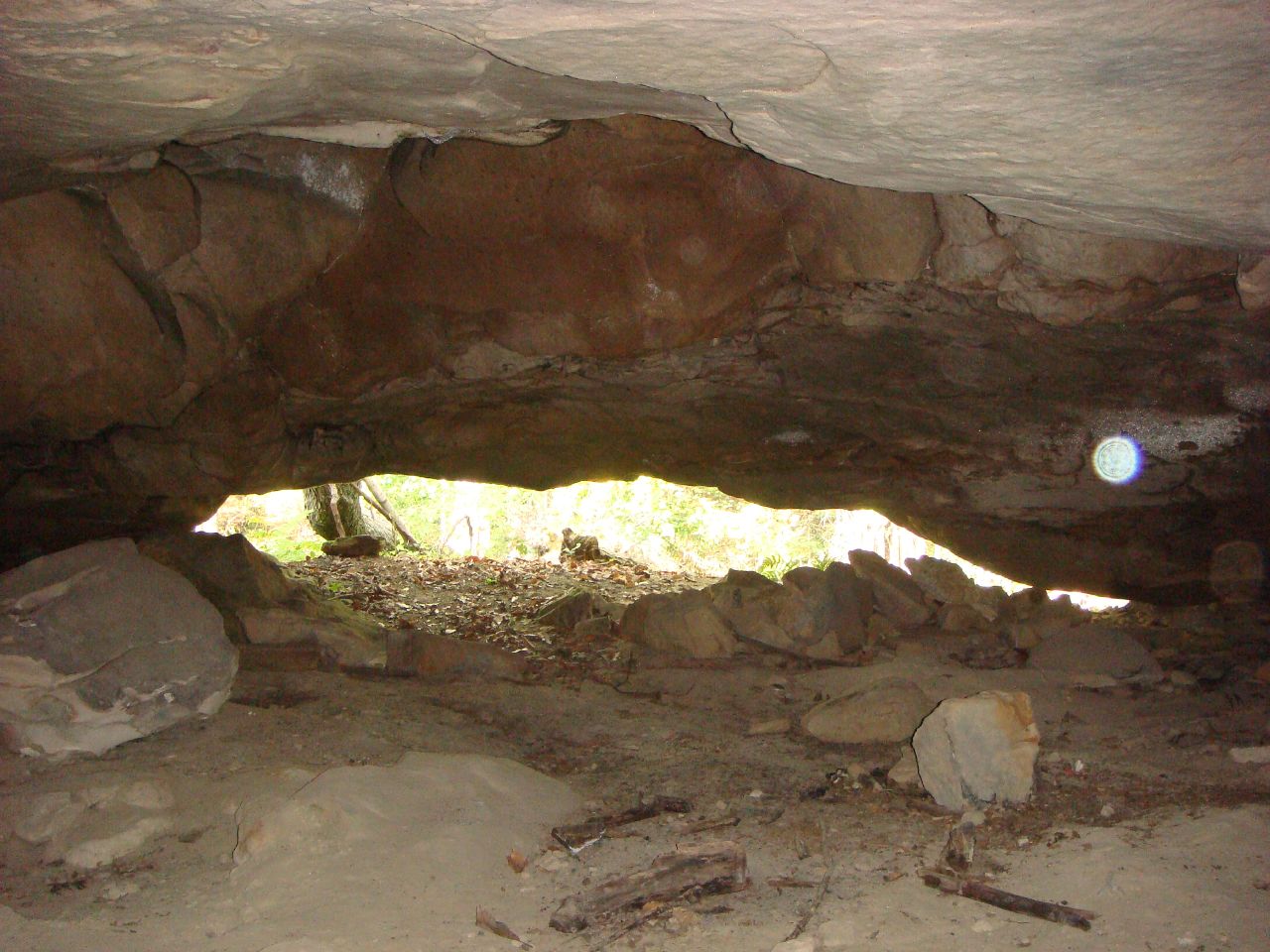
Ancient Works near Piketon, Ohio
the view
1953 Lincoln Capri
Nikon D90 Test 3
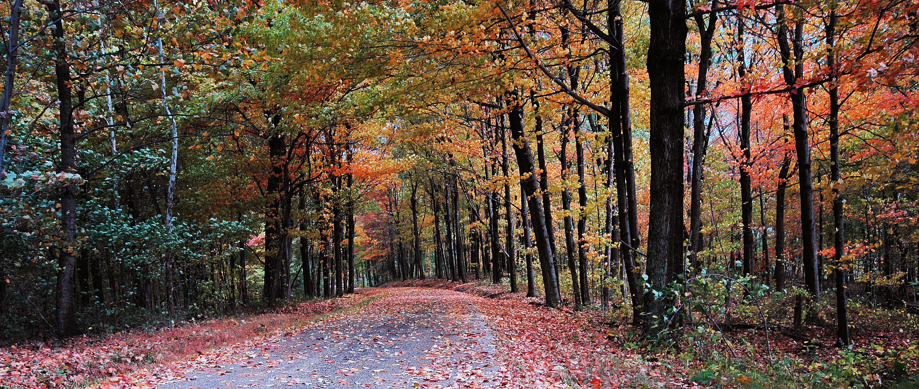
Scioto Trail State Forest
Quiet Day At The Lake

"Reflections"
Stewart Lake
Piketon 2
Q634 - MP 34
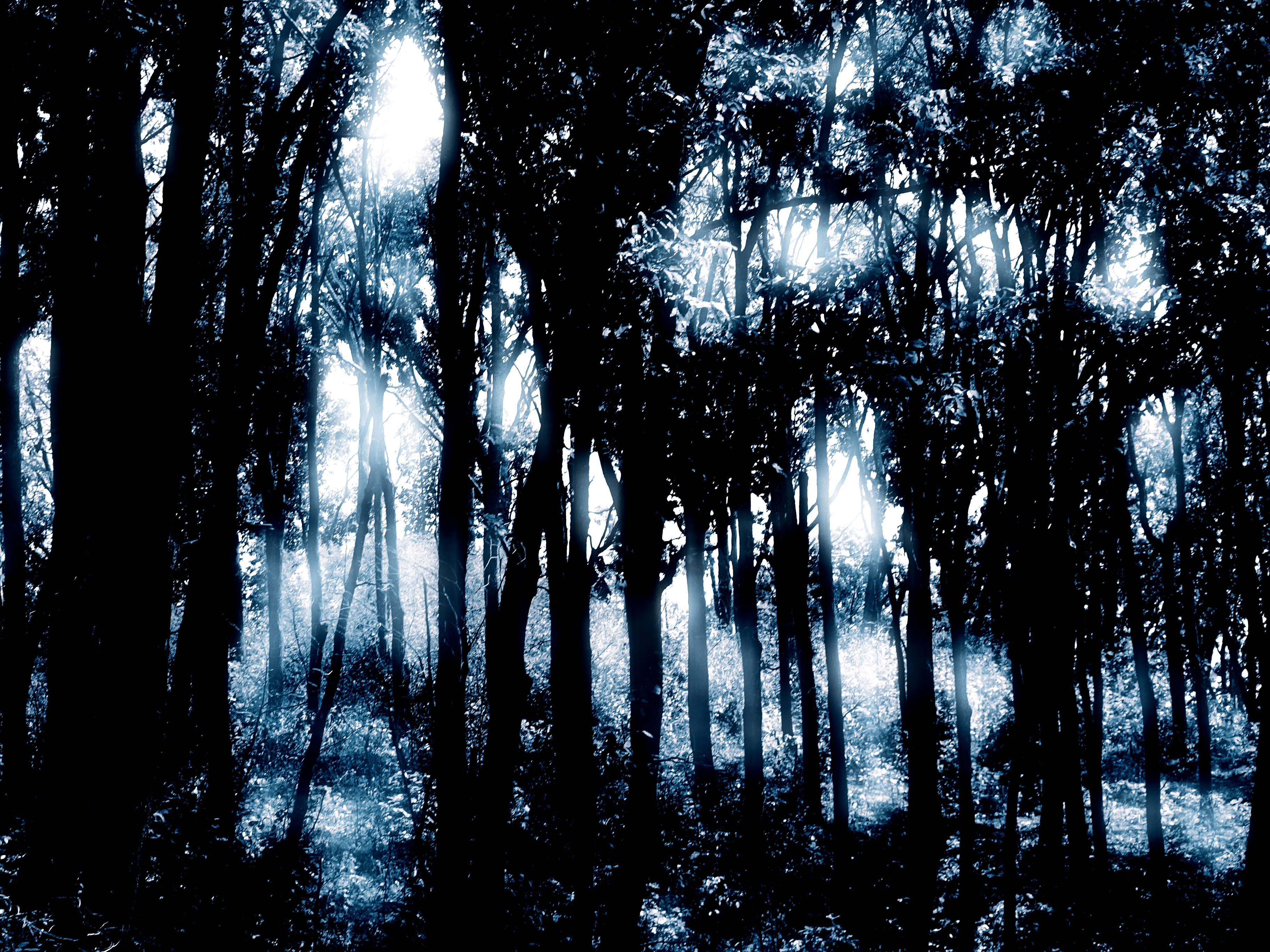
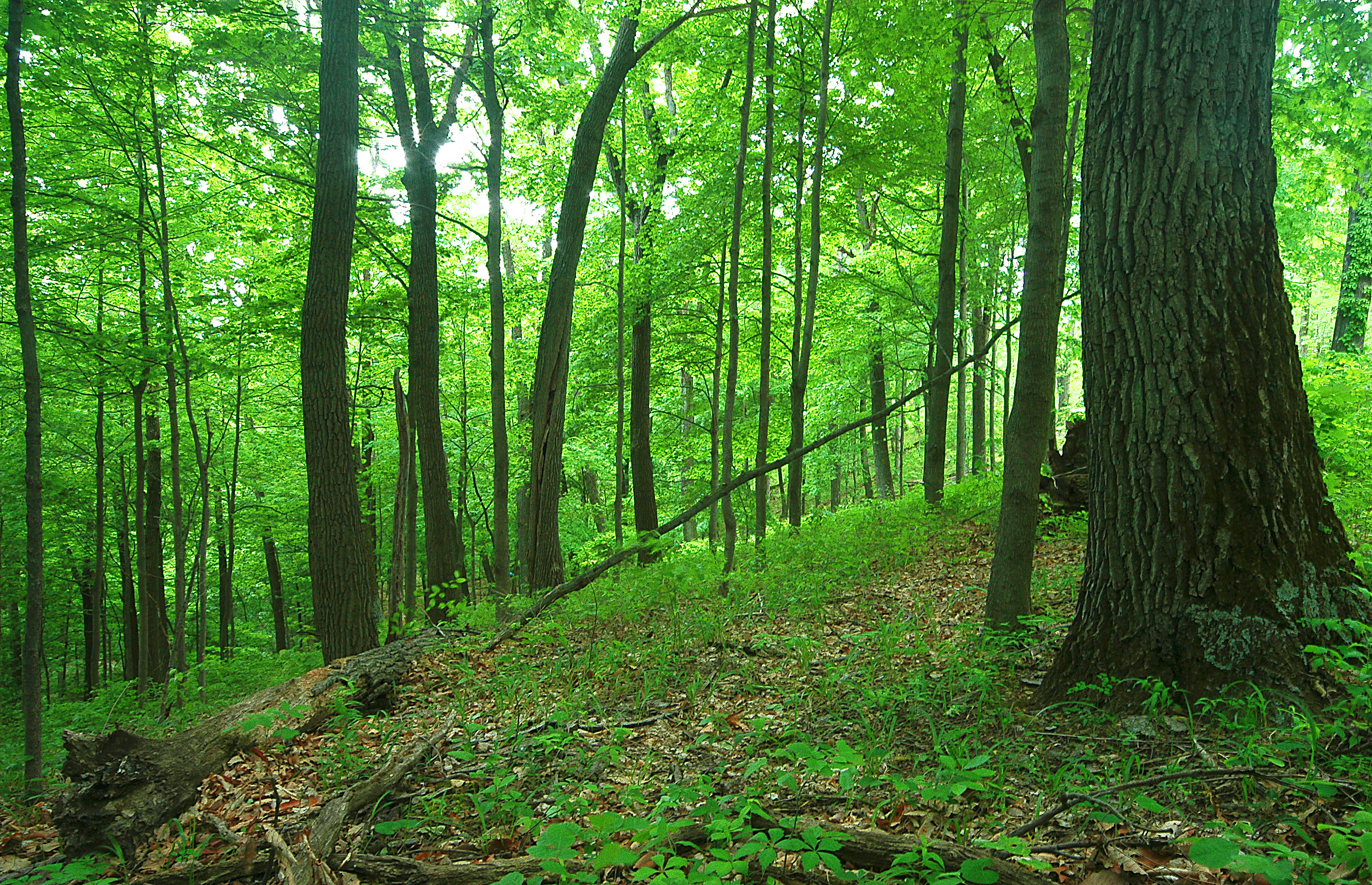
Forest Glow
Scioto Trail Forest Road

Piketon 3

Winter Sky 5~365
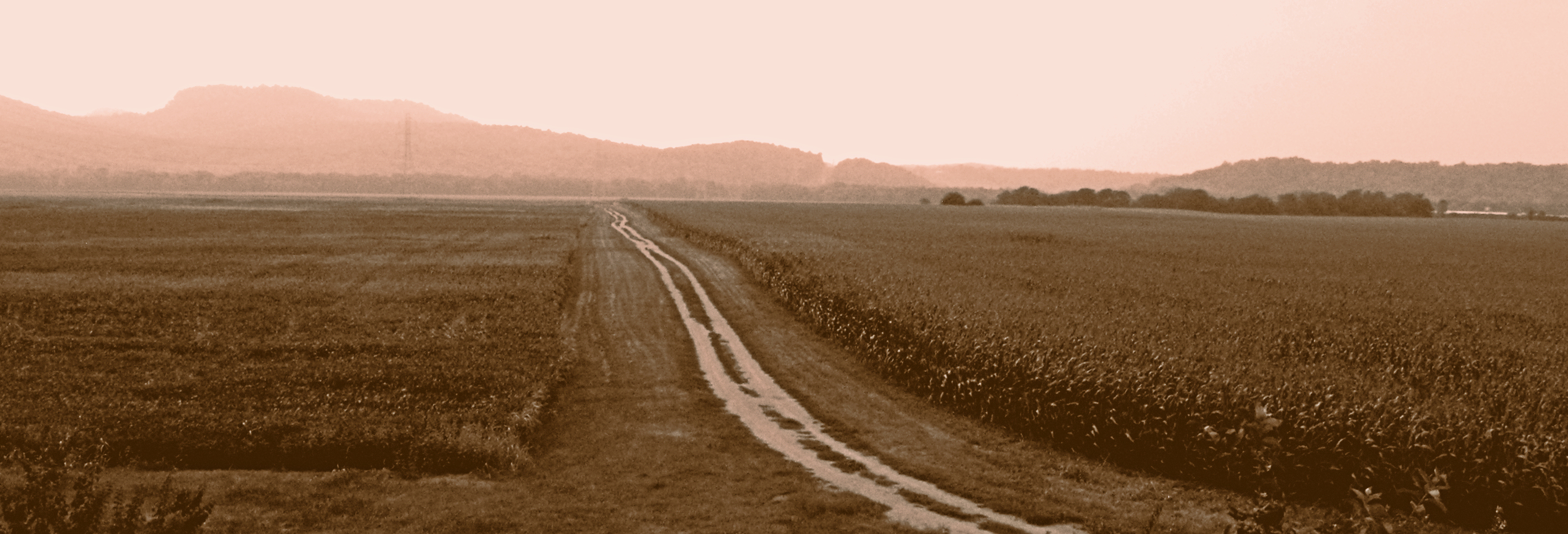
Farm Near Piketon, Ohio

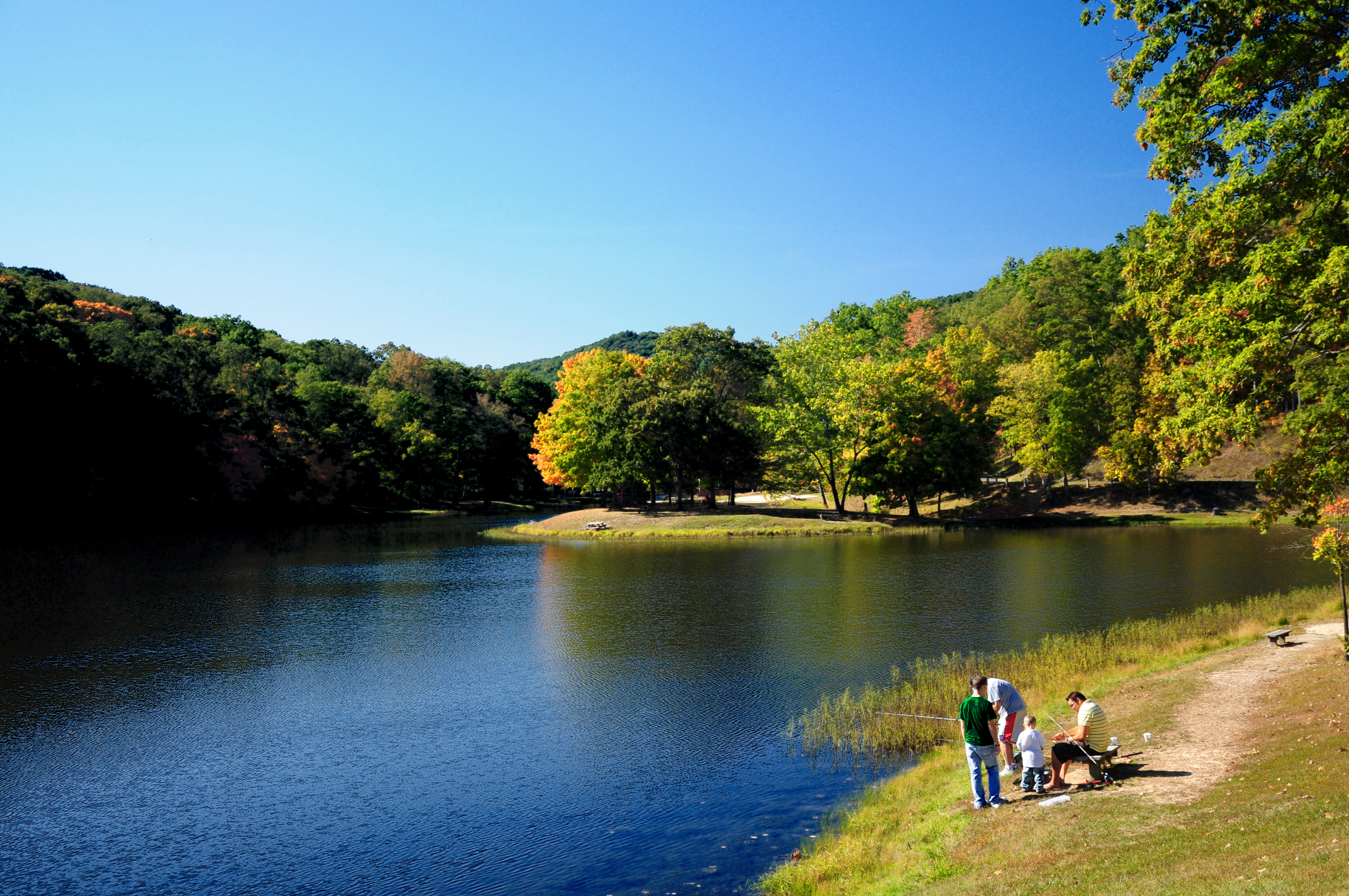
Pike Lake
10.2007 033

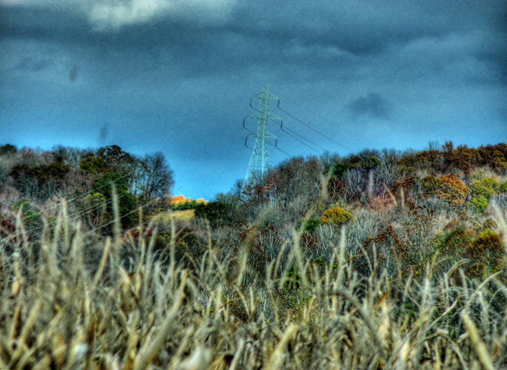
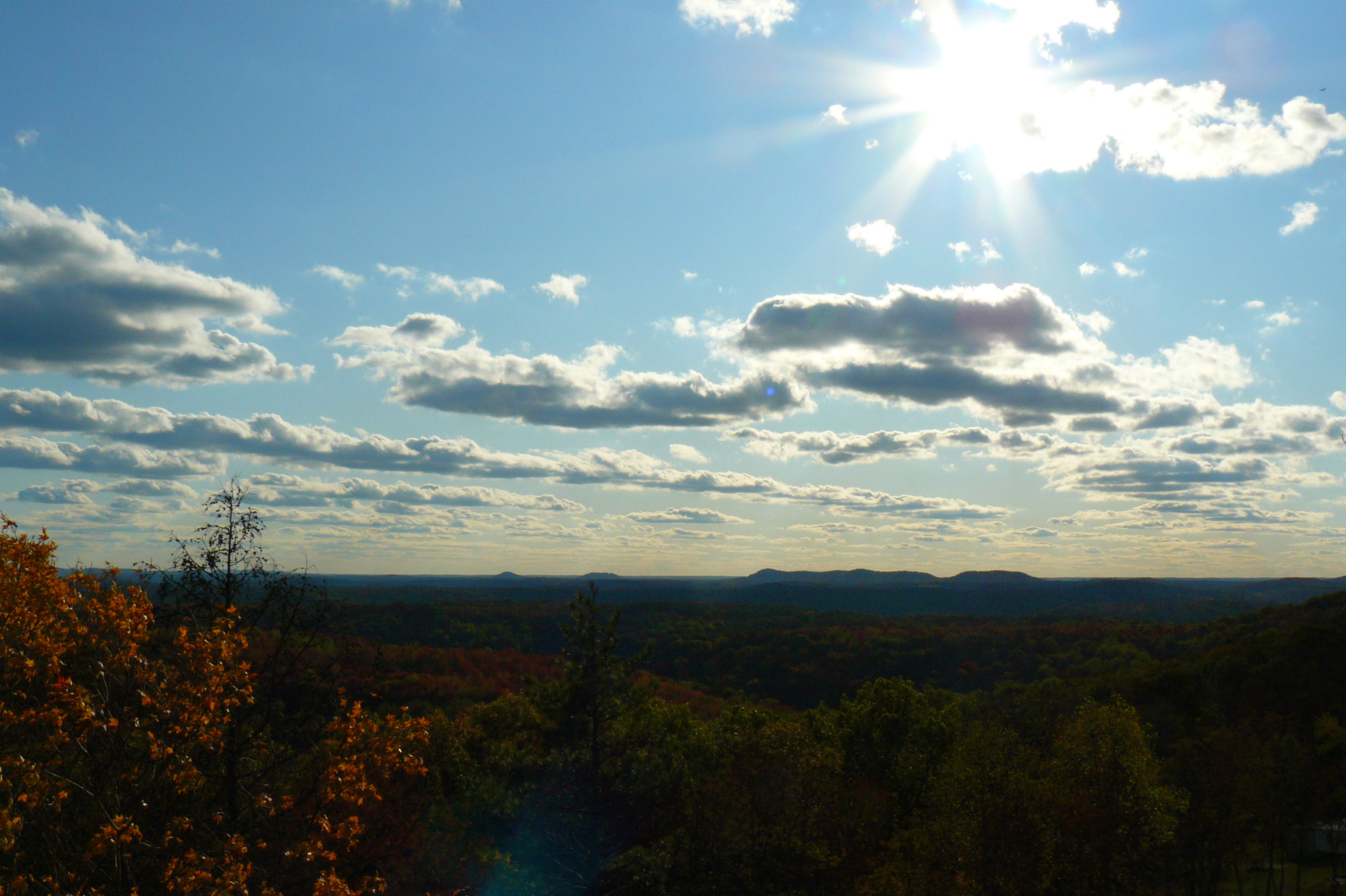
Appalachian Morning

Farmland — Franklin Township, Ross County, Ohio

Appalachian Morning 2
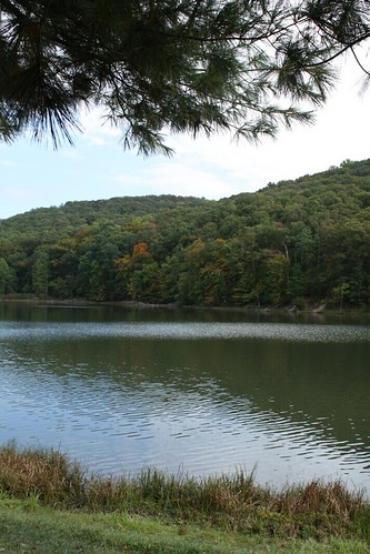
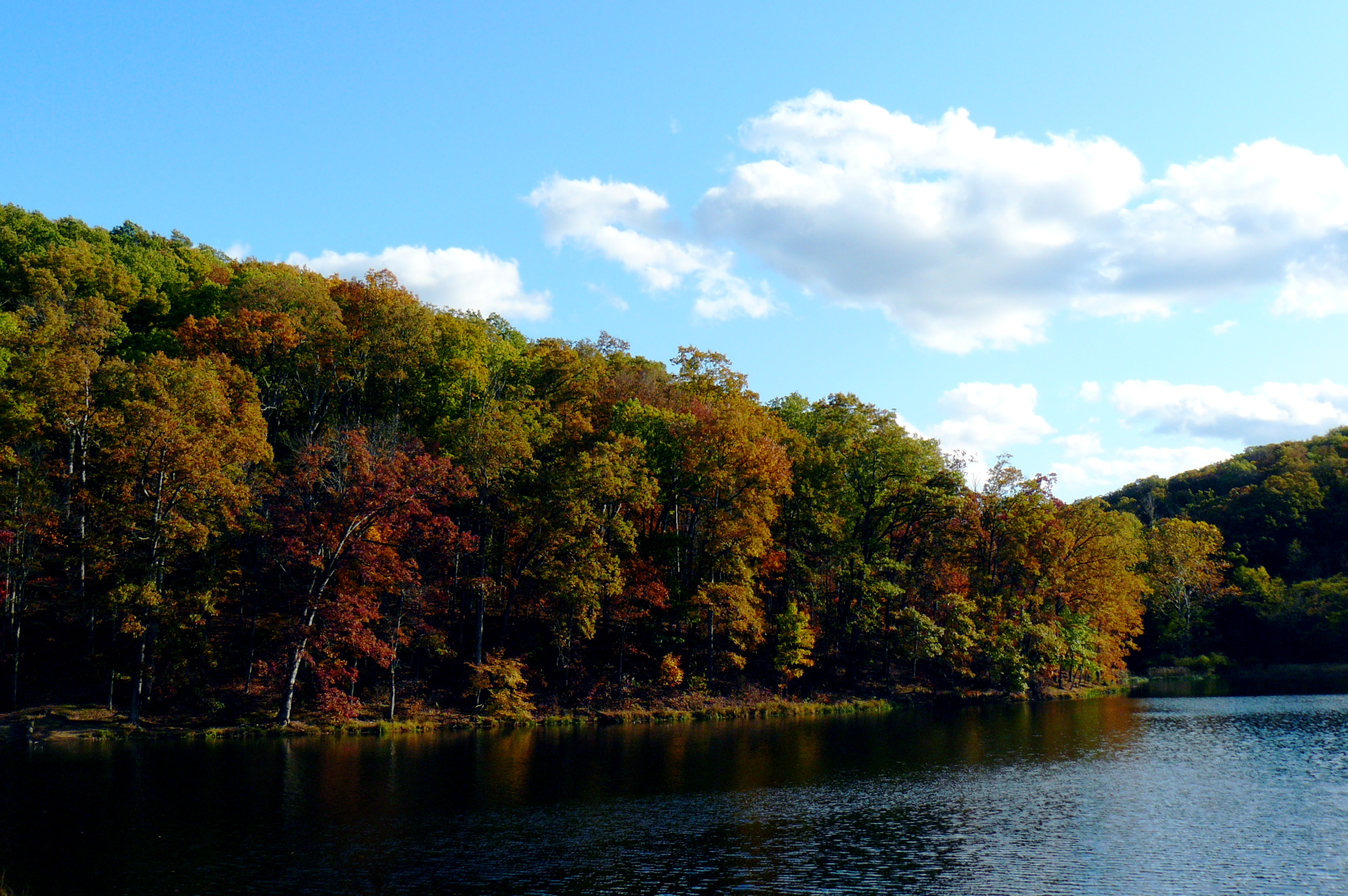
Pike Lake 2008
Topographic Map of Copeland Rd, Waverly, OH, USA
Find elevation by address:

Places near Copeland Rd, Waverly, OH, USA:
Pebble Township
Skyline Dr, Waverly, OH, USA
1718 Nipgen Rd
21676 Oh-772
Pee Pee Township
Pike Water Inc.
Waldren Hill Road
Adena Pike Medical Center
Pike County
OH-, Piketon, OH, USA
East 2nd Street
Newton Township
Victory Drive
221 W Emmitt Ave
Prussia Road
Waverly
Piketon
311 Mill St
9434 Oh-220
N Bridge St, Chillicothe, OH, USA
Recent Searches:
- Elevation of Elwyn Dr, Roanoke Rapids, NC, USA
- Elevation of Congressional Dr, Stevensville, MD, USA
- Elevation of Bellview Rd, McLean, VA, USA
- Elevation of Stage Island Rd, Chatham, MA, USA
- Elevation of Shibuya Scramble Crossing, 21 Udagawacho, Shibuya City, Tokyo -, Japan
- Elevation of Jadagoniai, Kaunas District Municipality, Lithuania
- Elevation of Pagonija rock, Kranto 7-oji g. 8"N, Kaunas, Lithuania
- Elevation of Co Rd 87, Jamestown, CO, USA
- Elevation of Tenjo, Cundinamarca, Colombia
- Elevation of Côte-des-Neiges, Montreal, QC H4A 3J6, Canada