Elevation of Skyline Dr, Waverly, OH, USA
Location: United States > Ohio > Pike County > Pee Pee Township > Waverly >
Longitude: -83.030814
Latitude: 39.107131
Elevation: 227m / 745feet
Barometric Pressure: 99KPa
Elevation Map:
Satellite Map:
Related Photos:
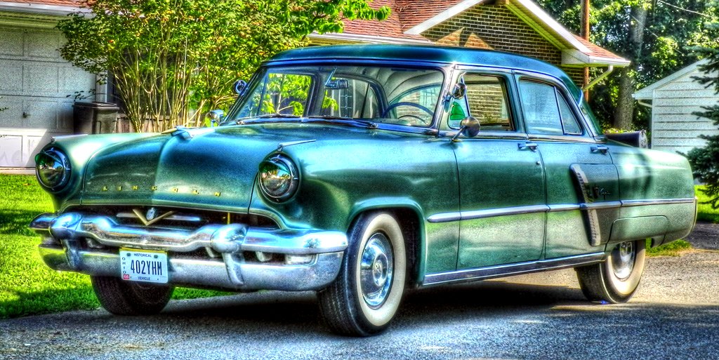
1953 Lincoln Capri (2)
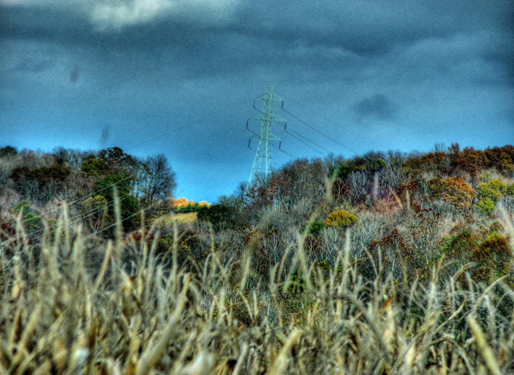
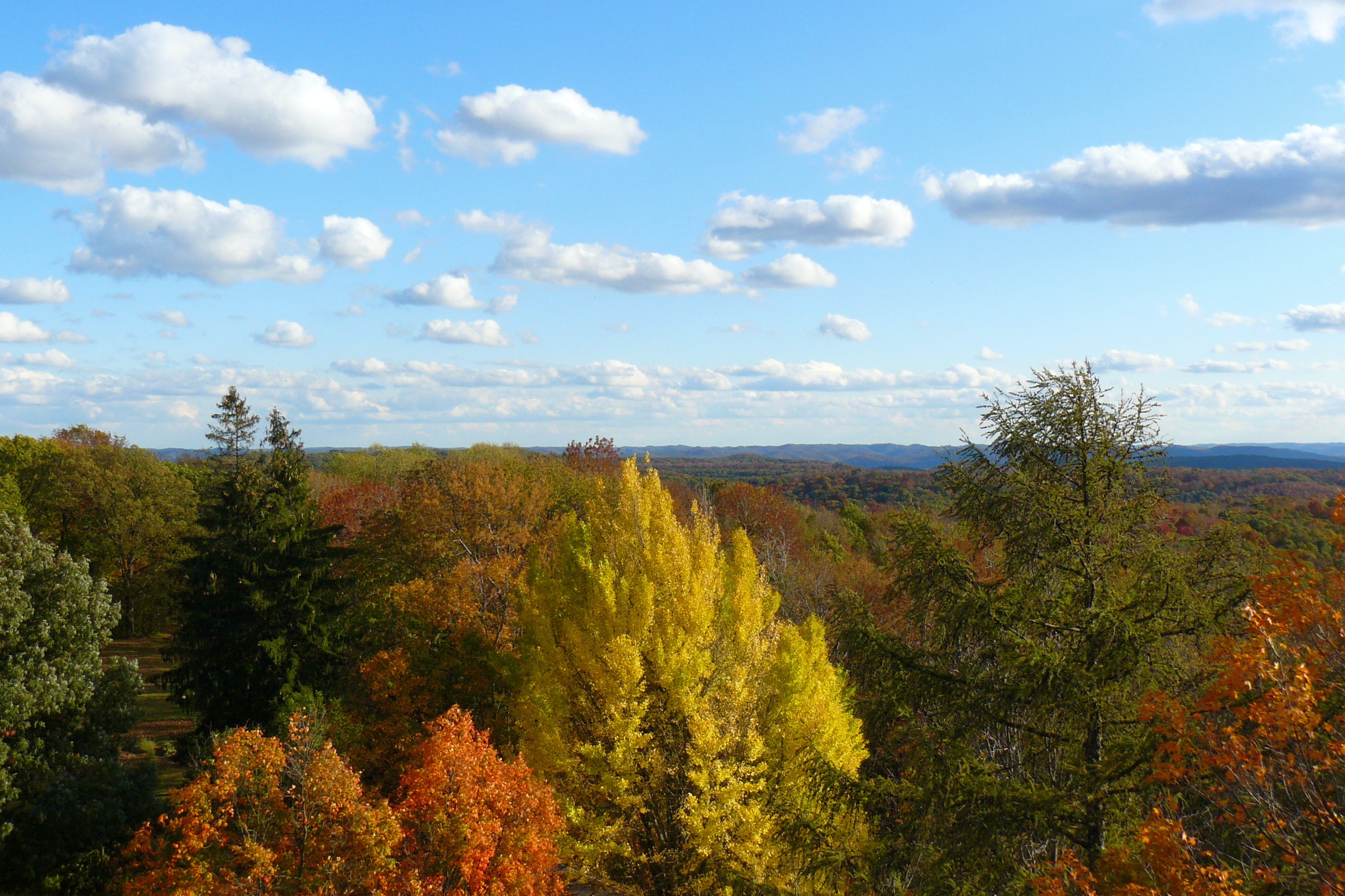
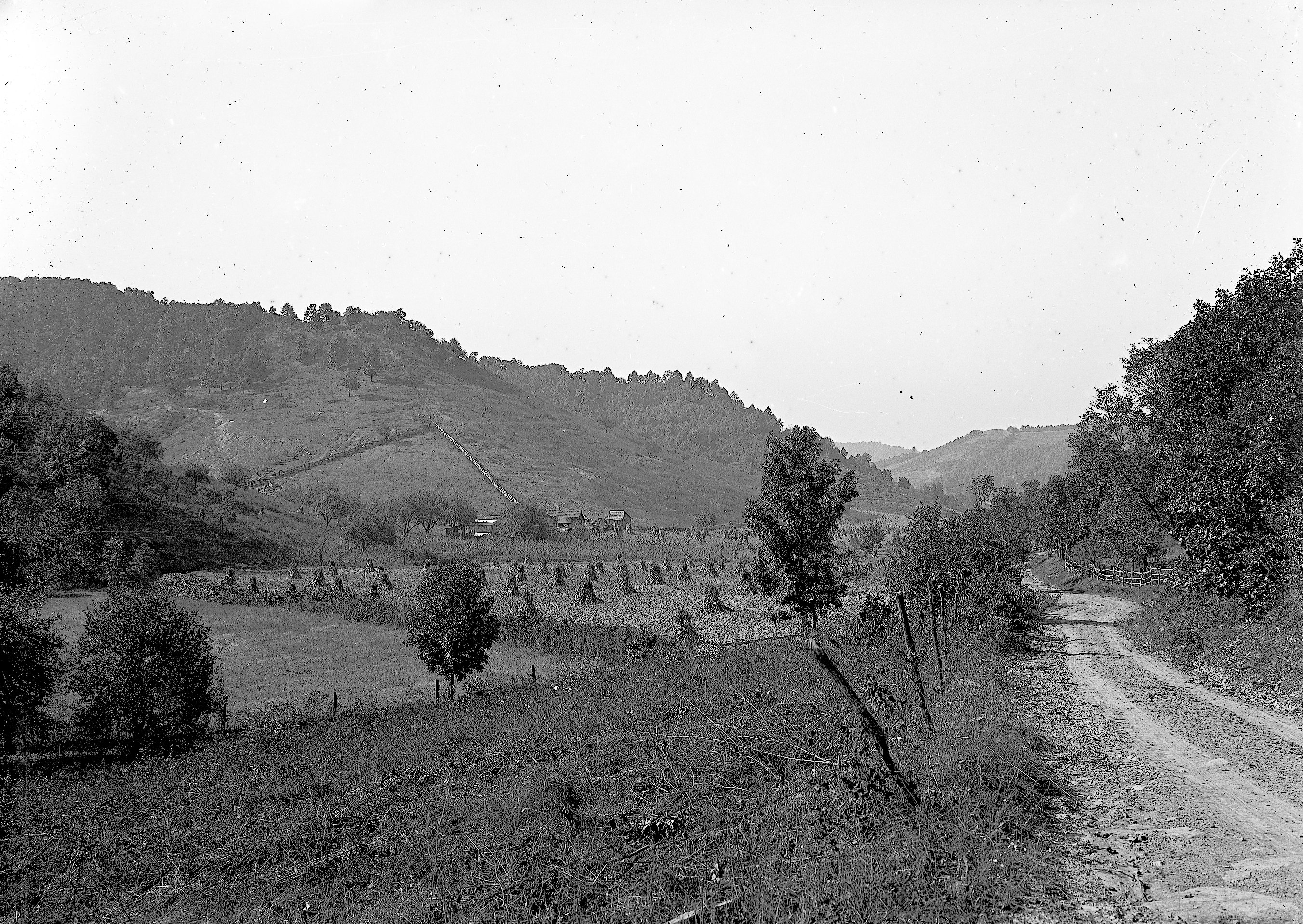
View from Chenoweth Fork Valley
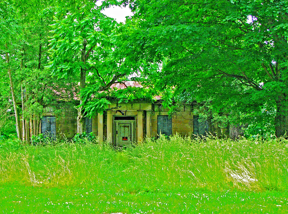
Jones-Cutler Historic House
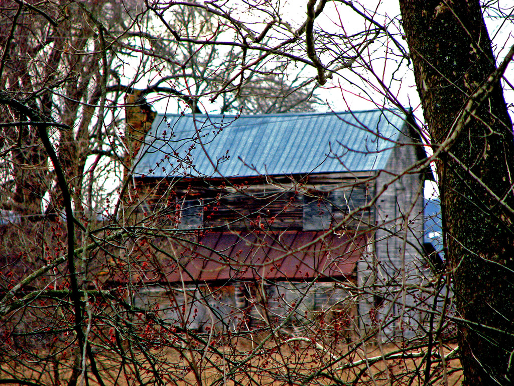
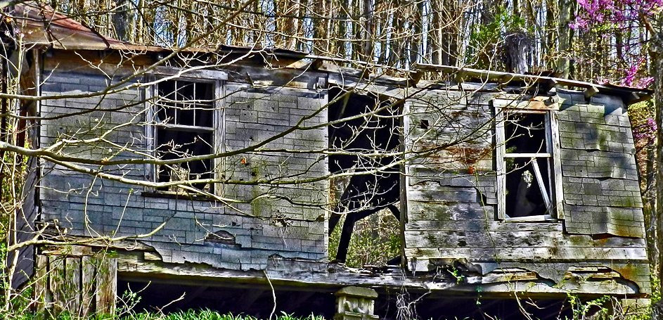
Abandoned Abode

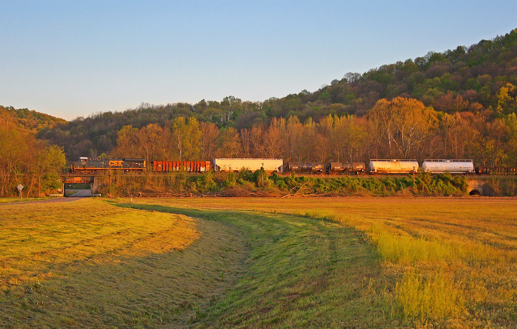
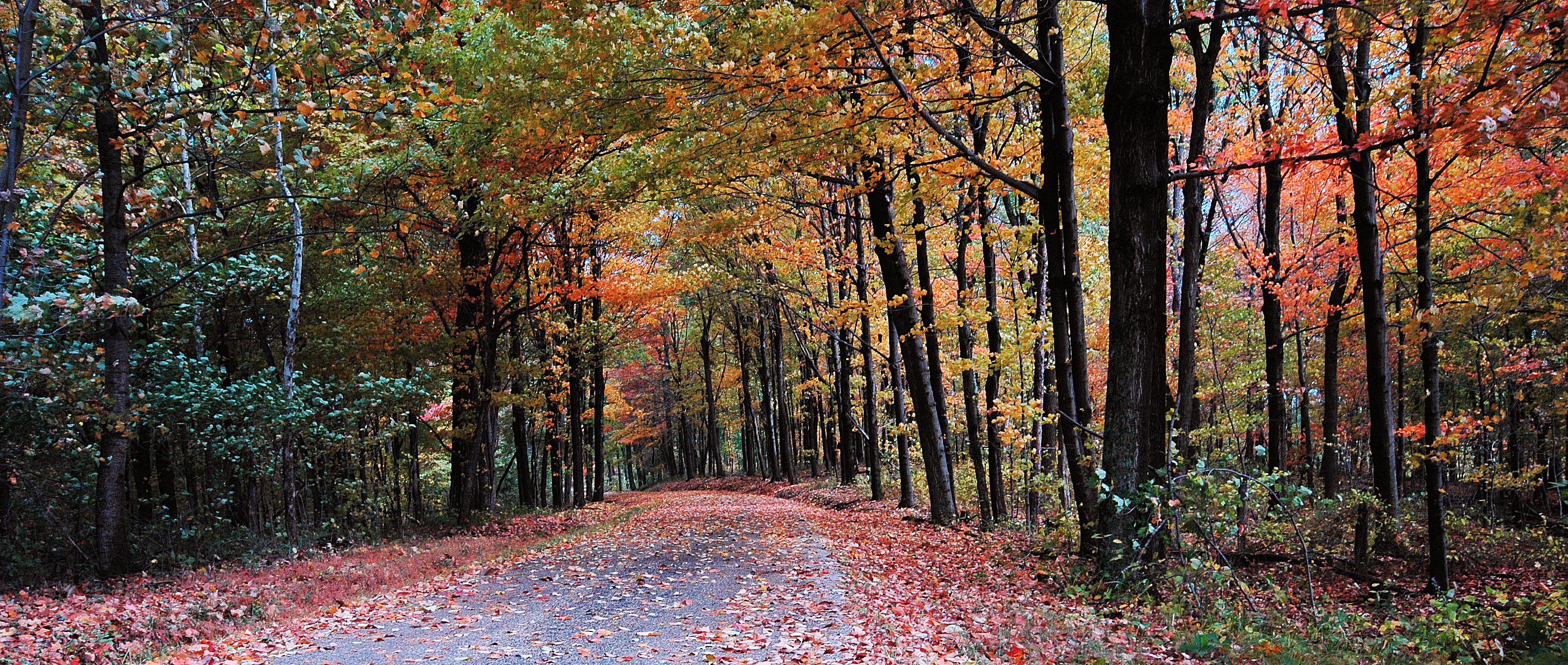
Scioto Valley Morning
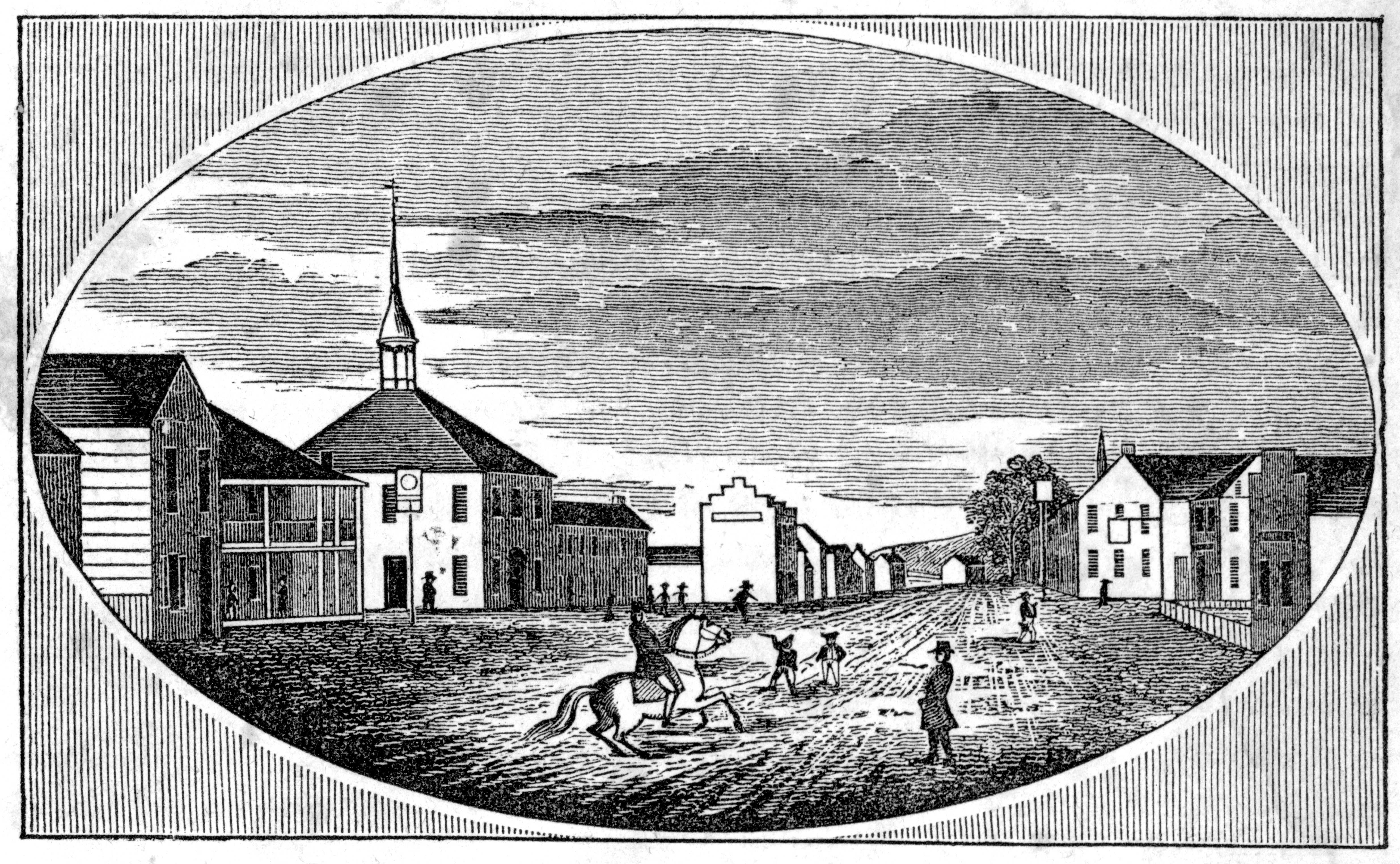
View in Piketon
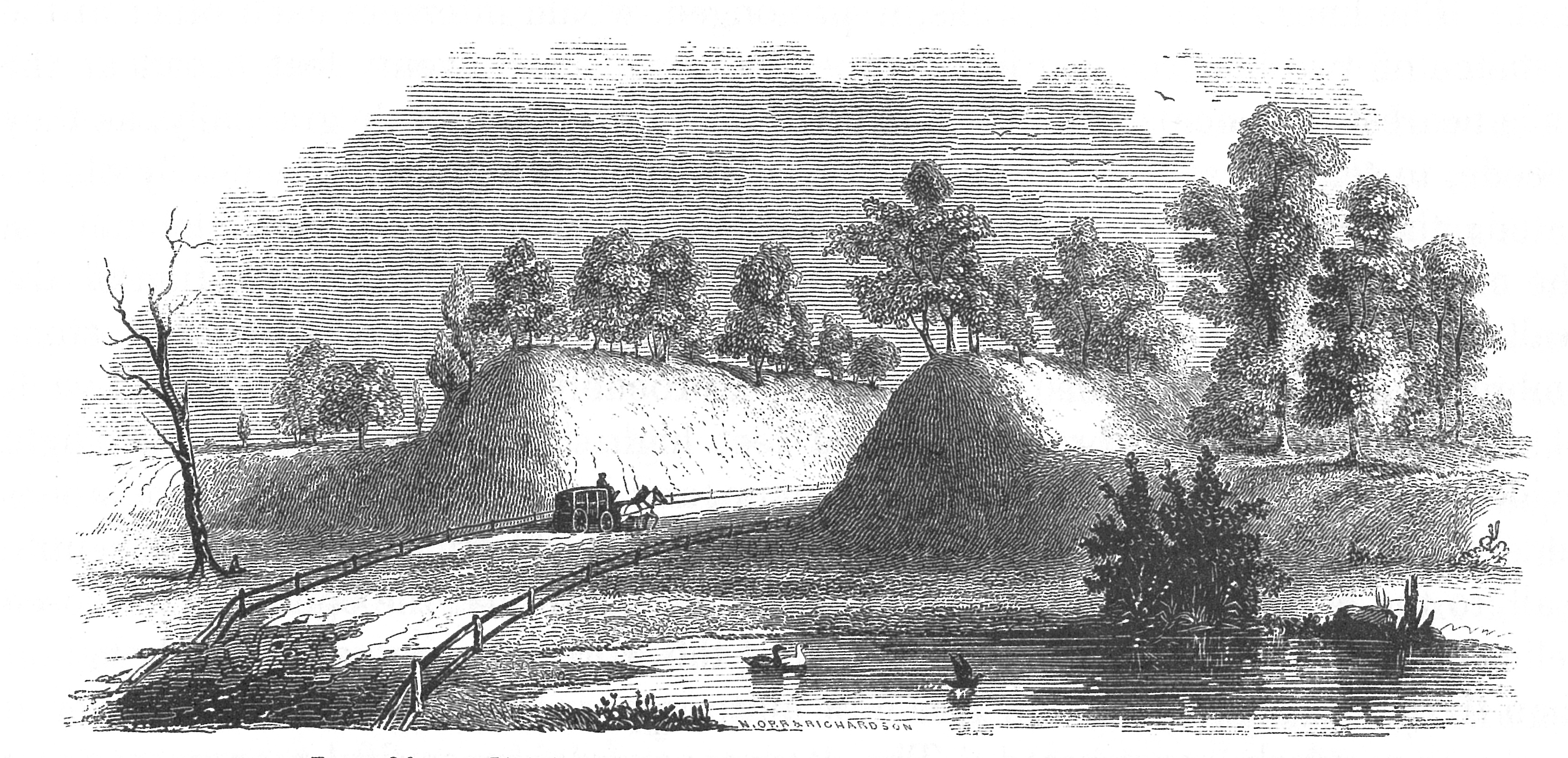
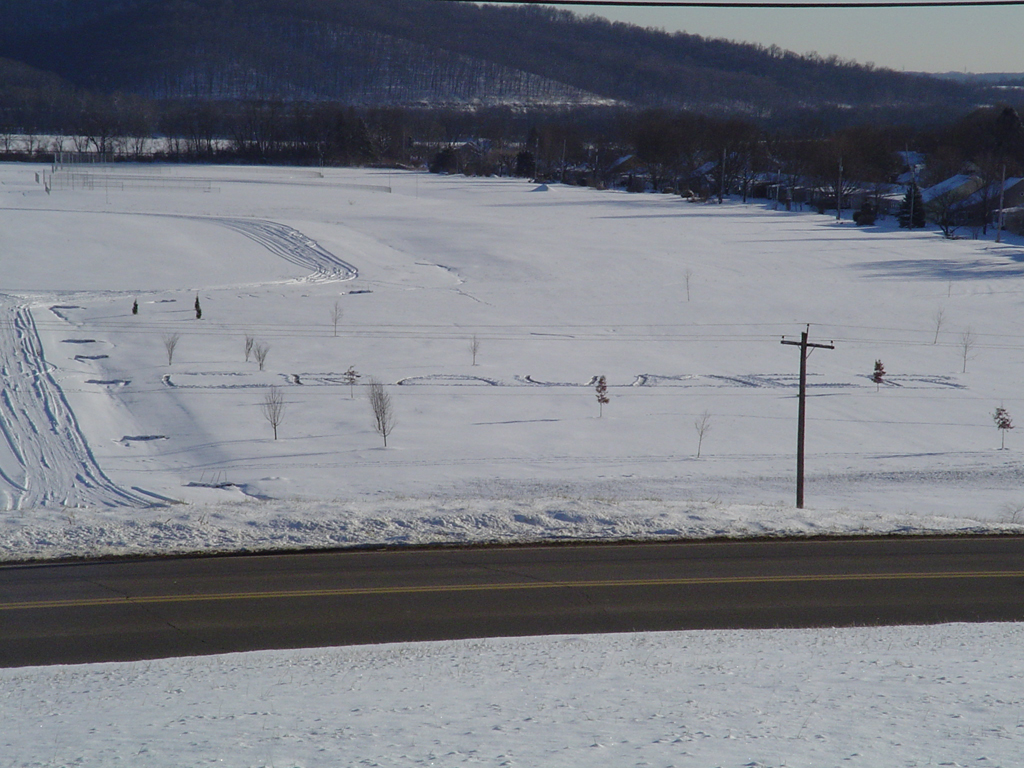
View of Graded Way Near Piketon, Ohio
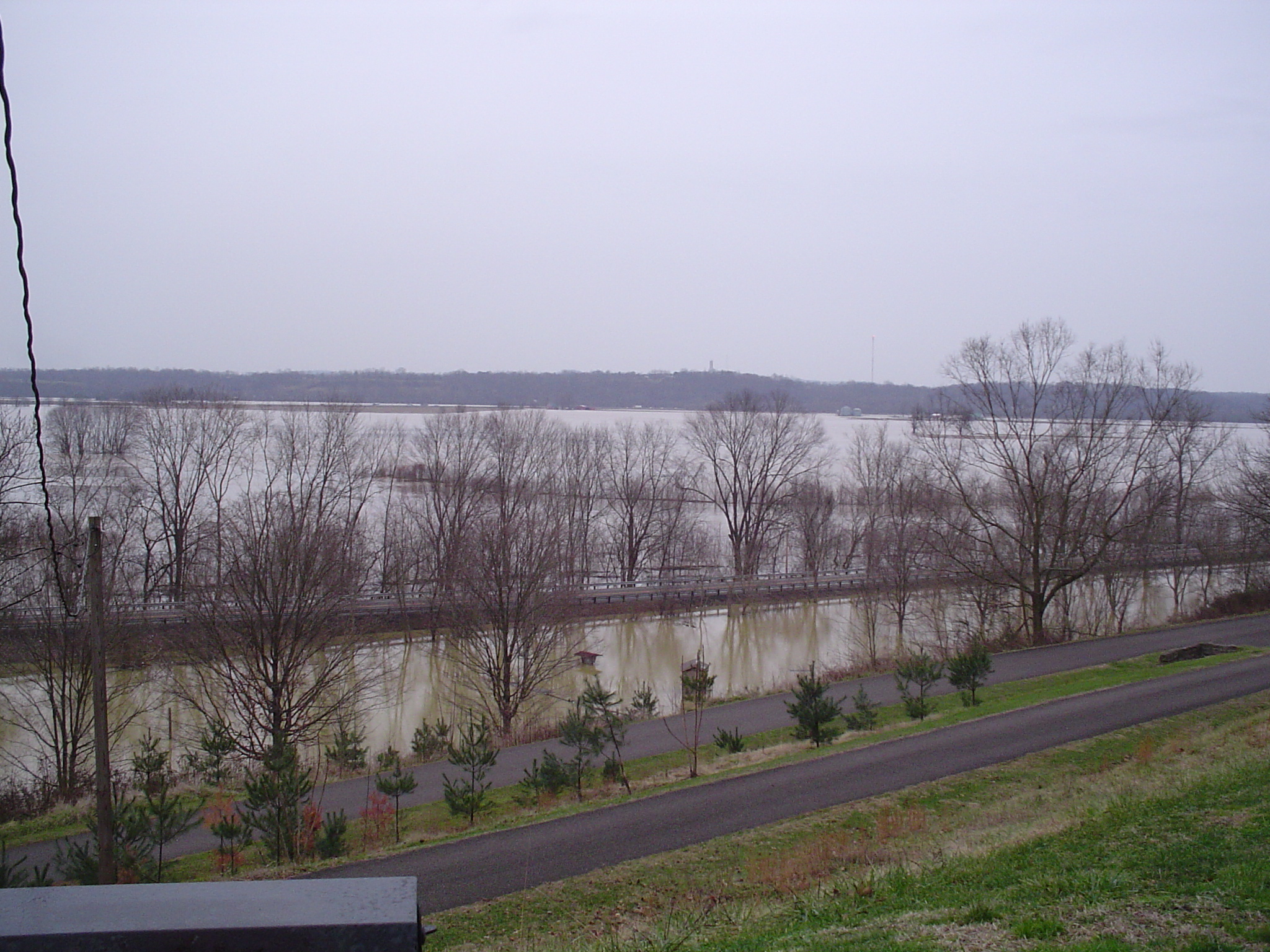
more flood
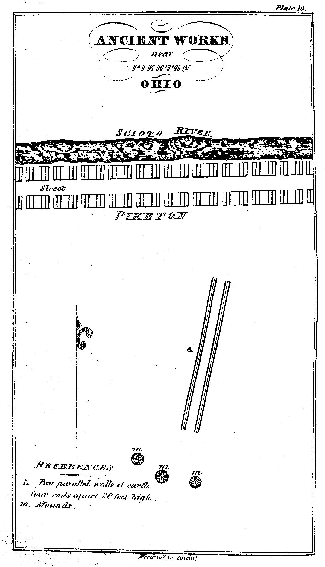
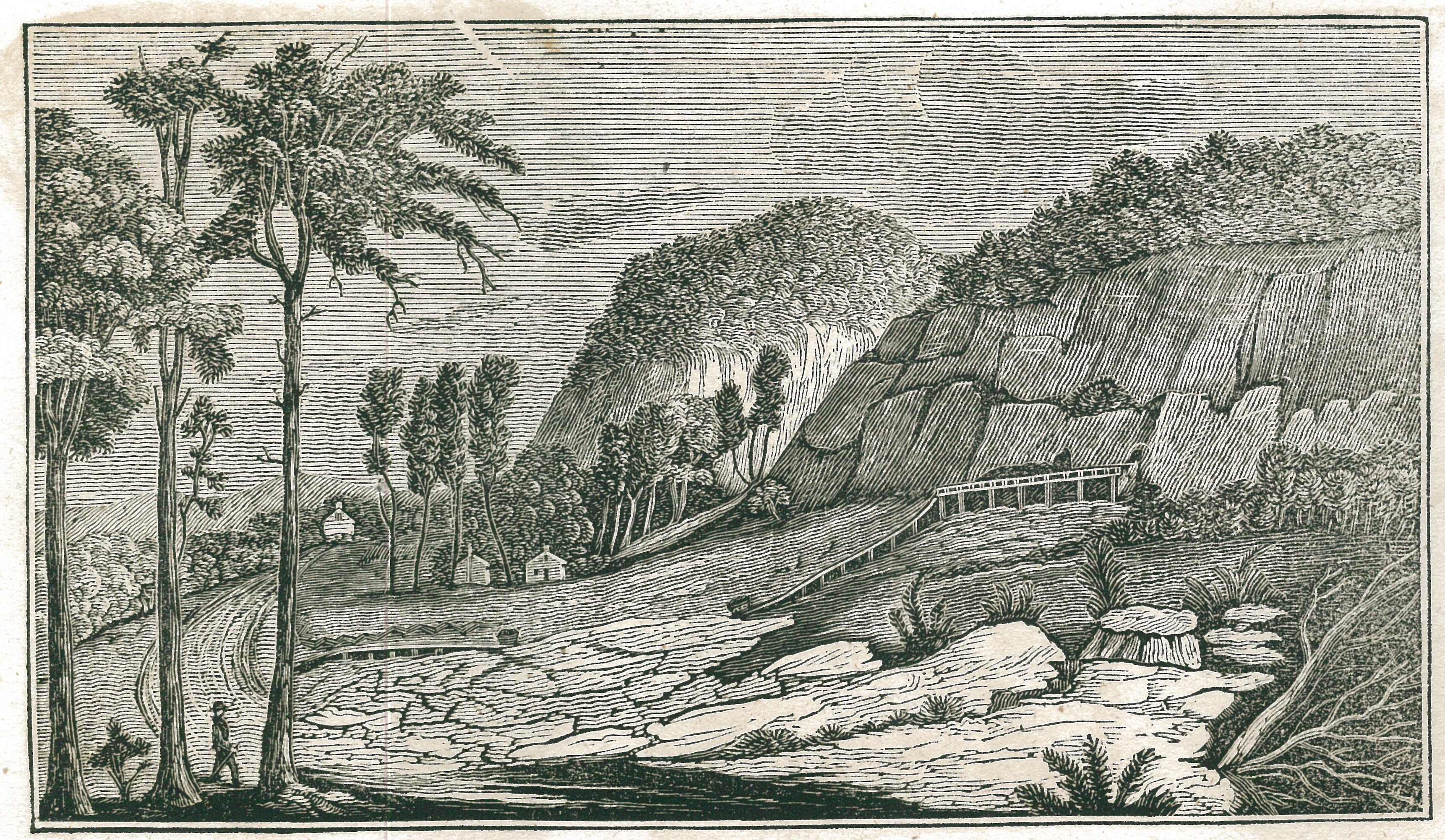
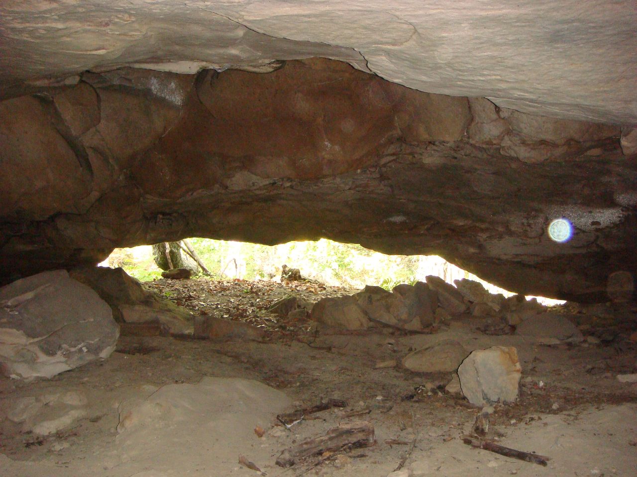
Ancient Works near Piketon, Ohio
the view
View of "Pomeroy's Coal Beds," at Carr's Run, Ohio
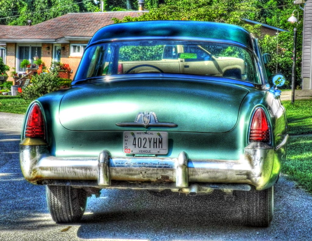
1953 Lincoln Capri
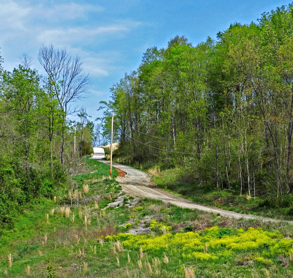
Long Driveway in Appalachia
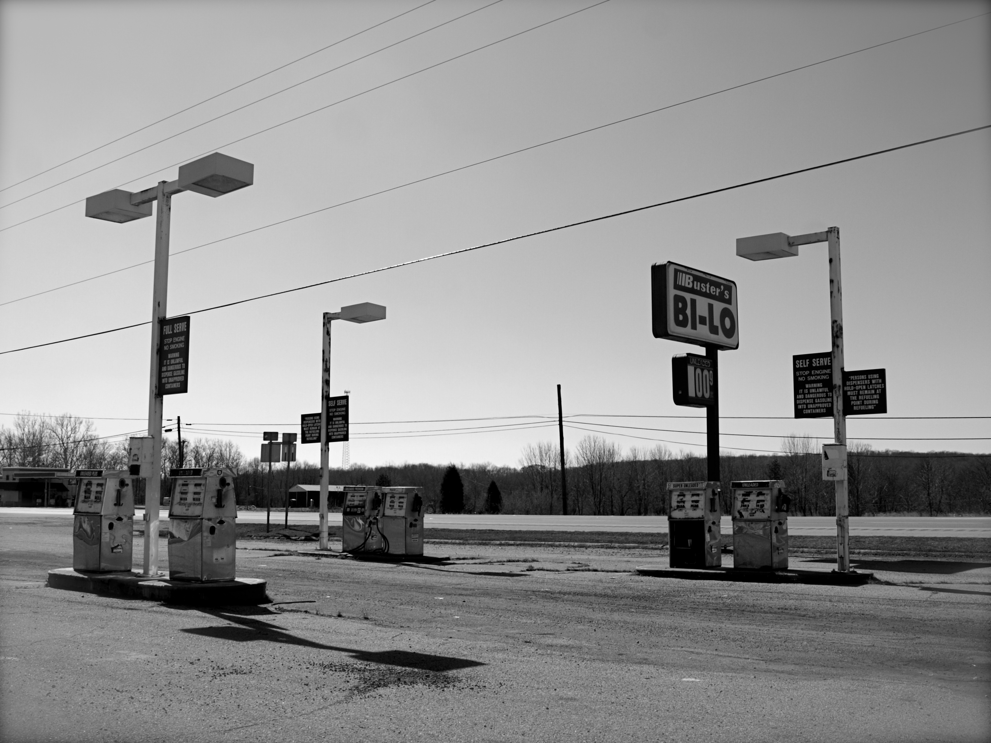
Abandoned Gas Station
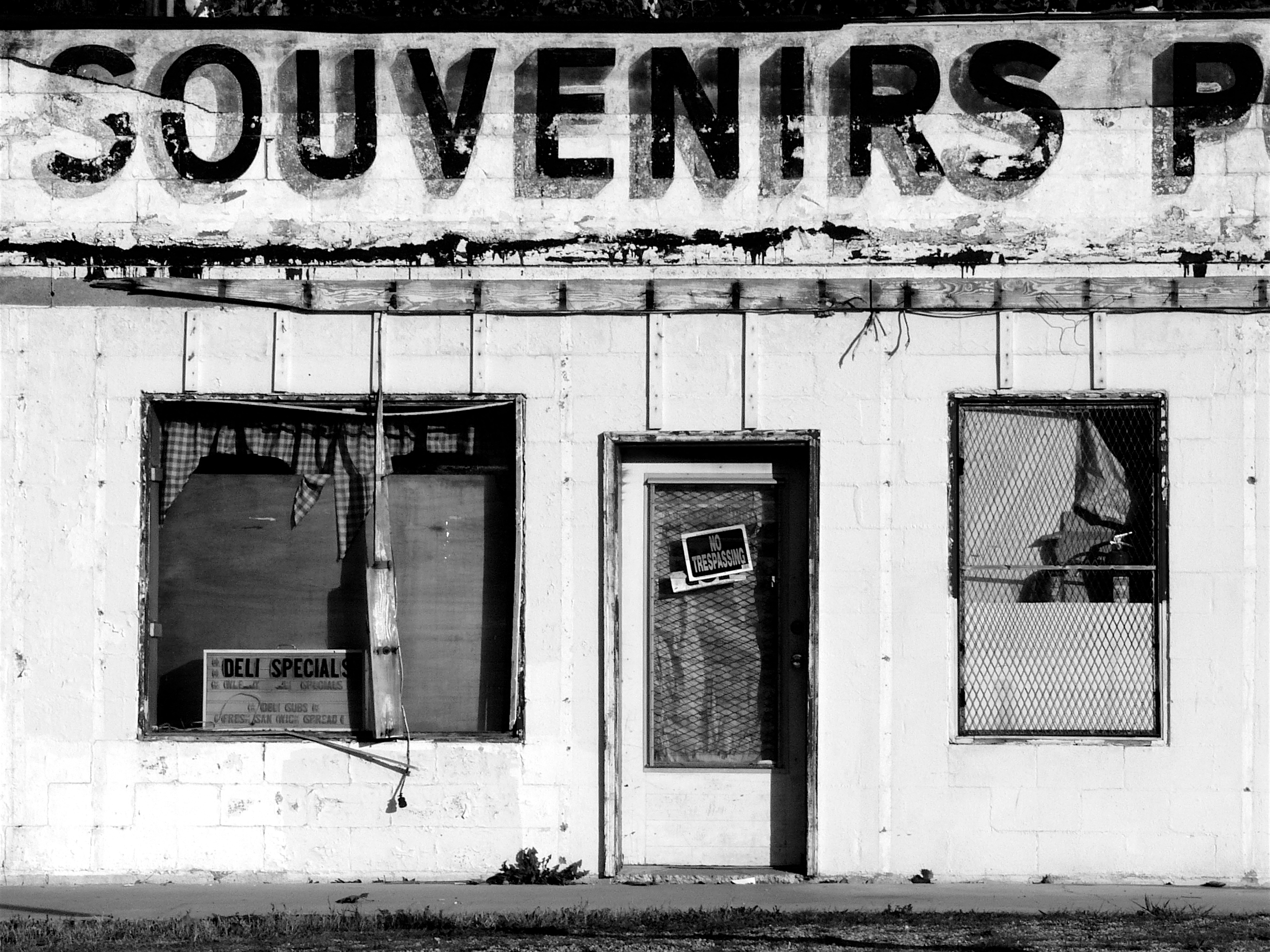
Souvenirs (B&W)
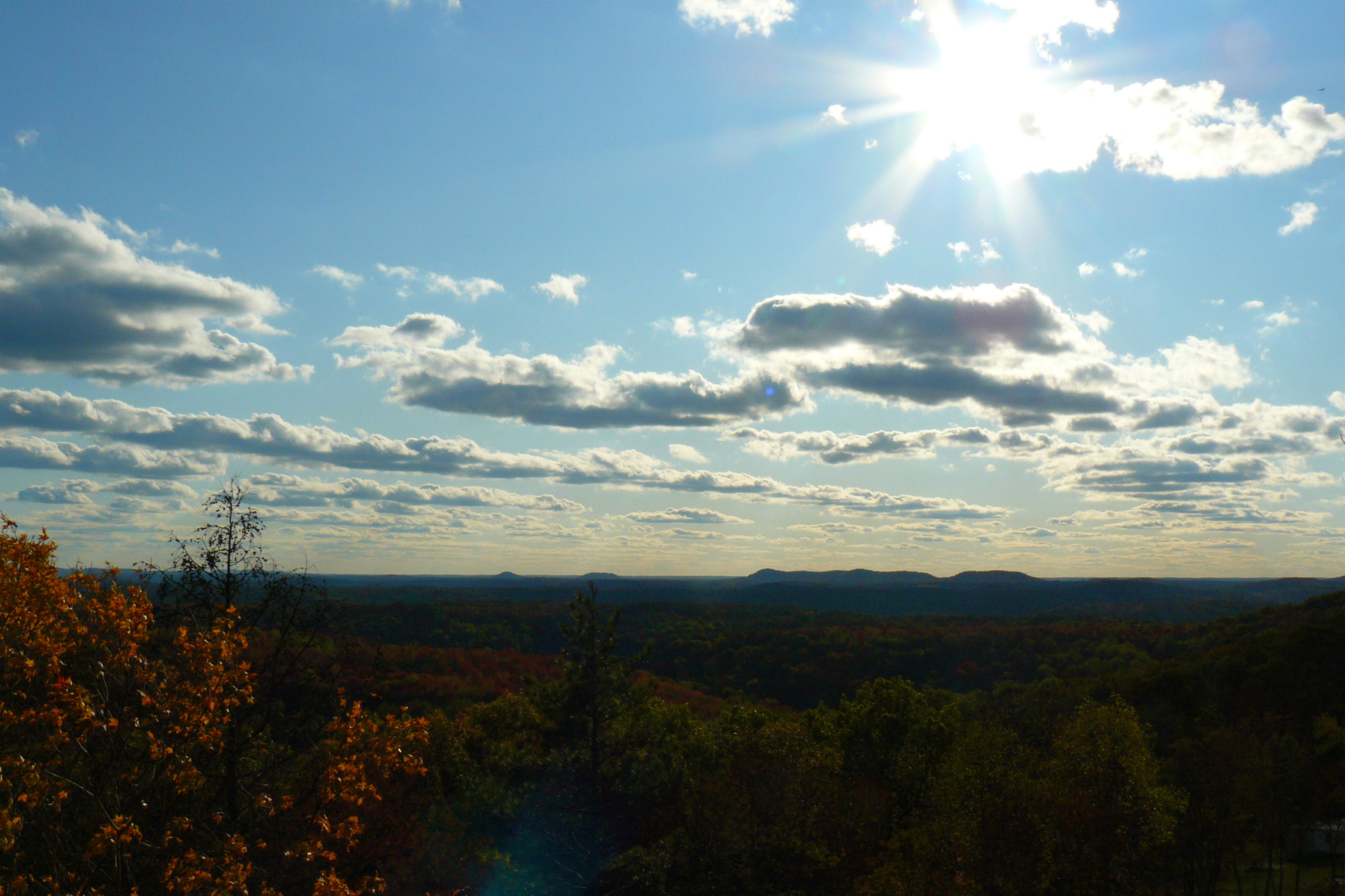
The View West

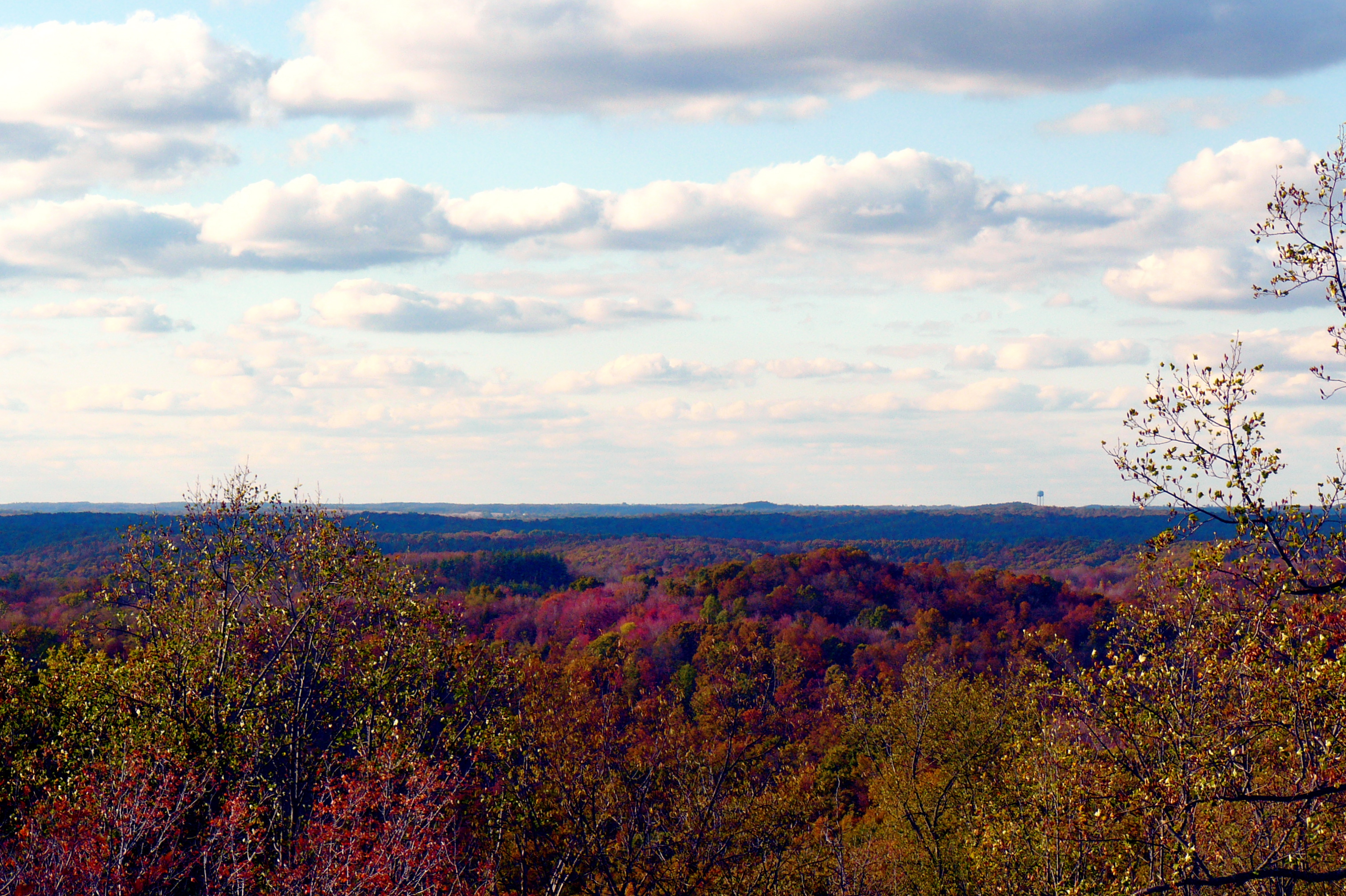
The View South
The View North
The View East
View From The Bottom
Decaying Dwelling (revisited)

Farmland — Franklin Township, Ross County, Ohio
Scioto Trail State Forest
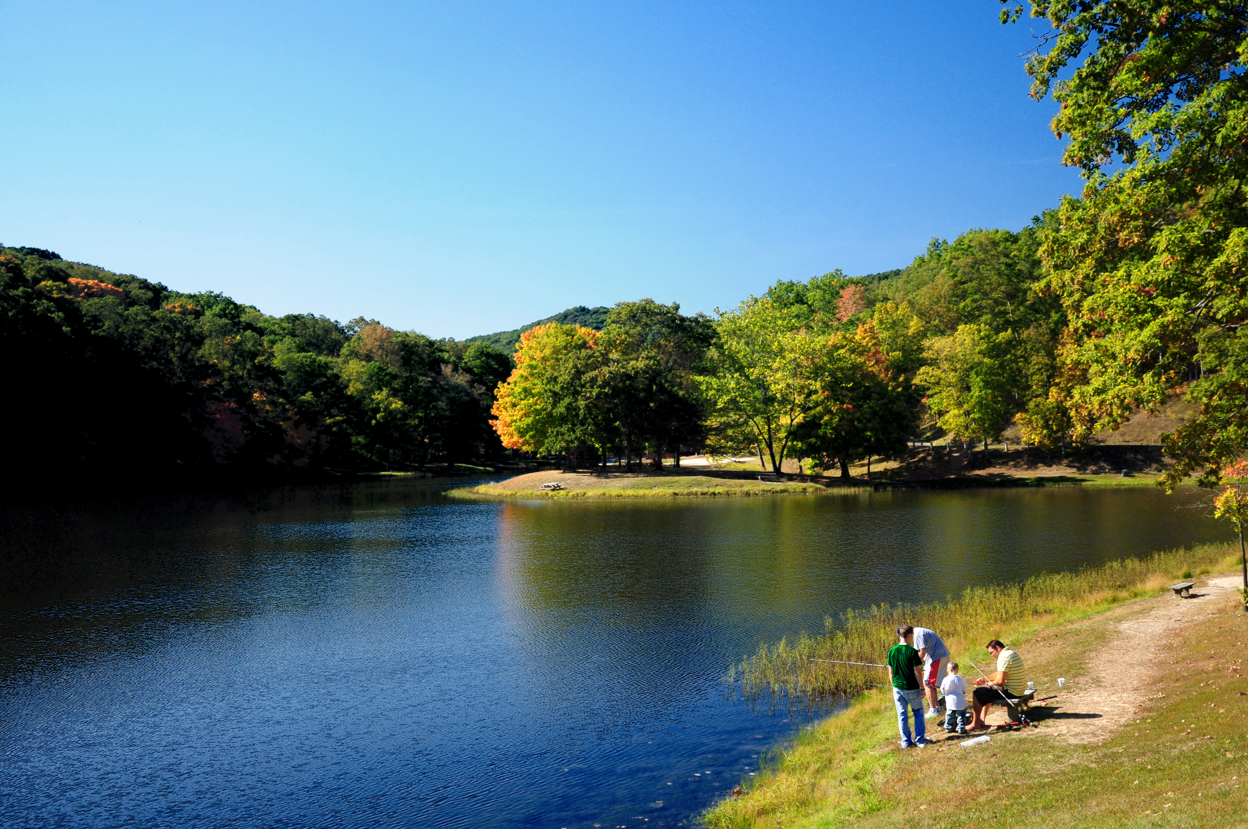
Quiet Day At The Lake

Nikon D90 Test 3
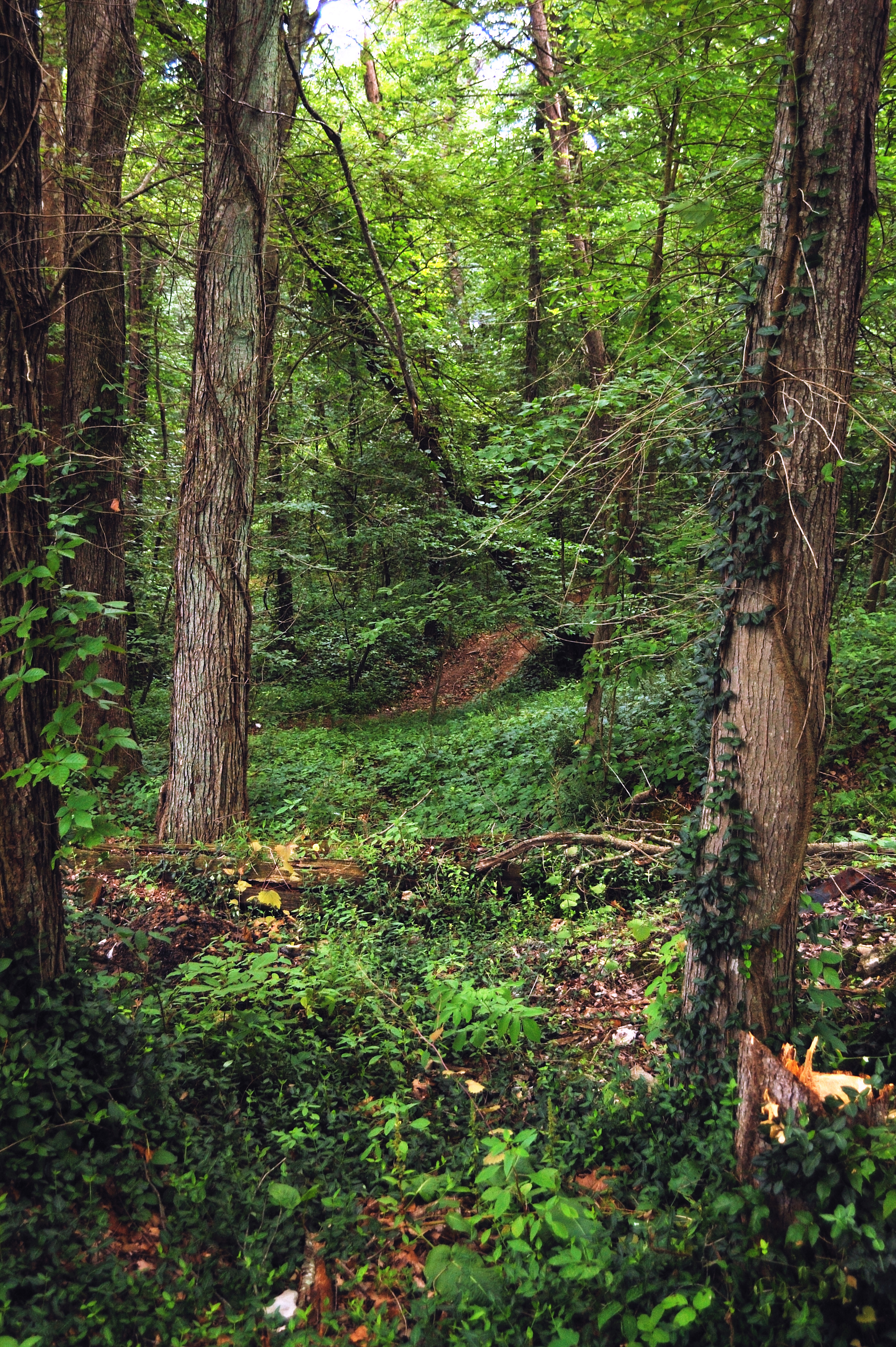
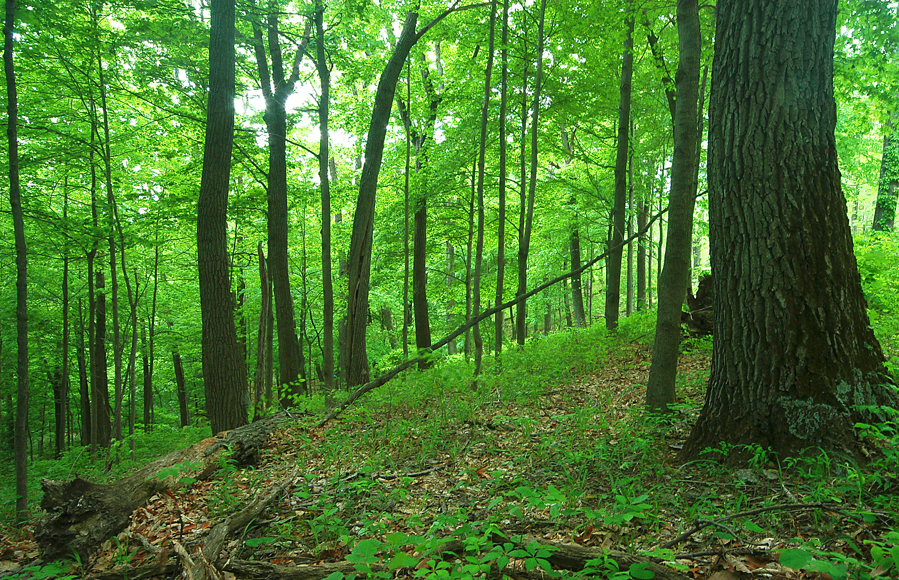
Forest June 2009
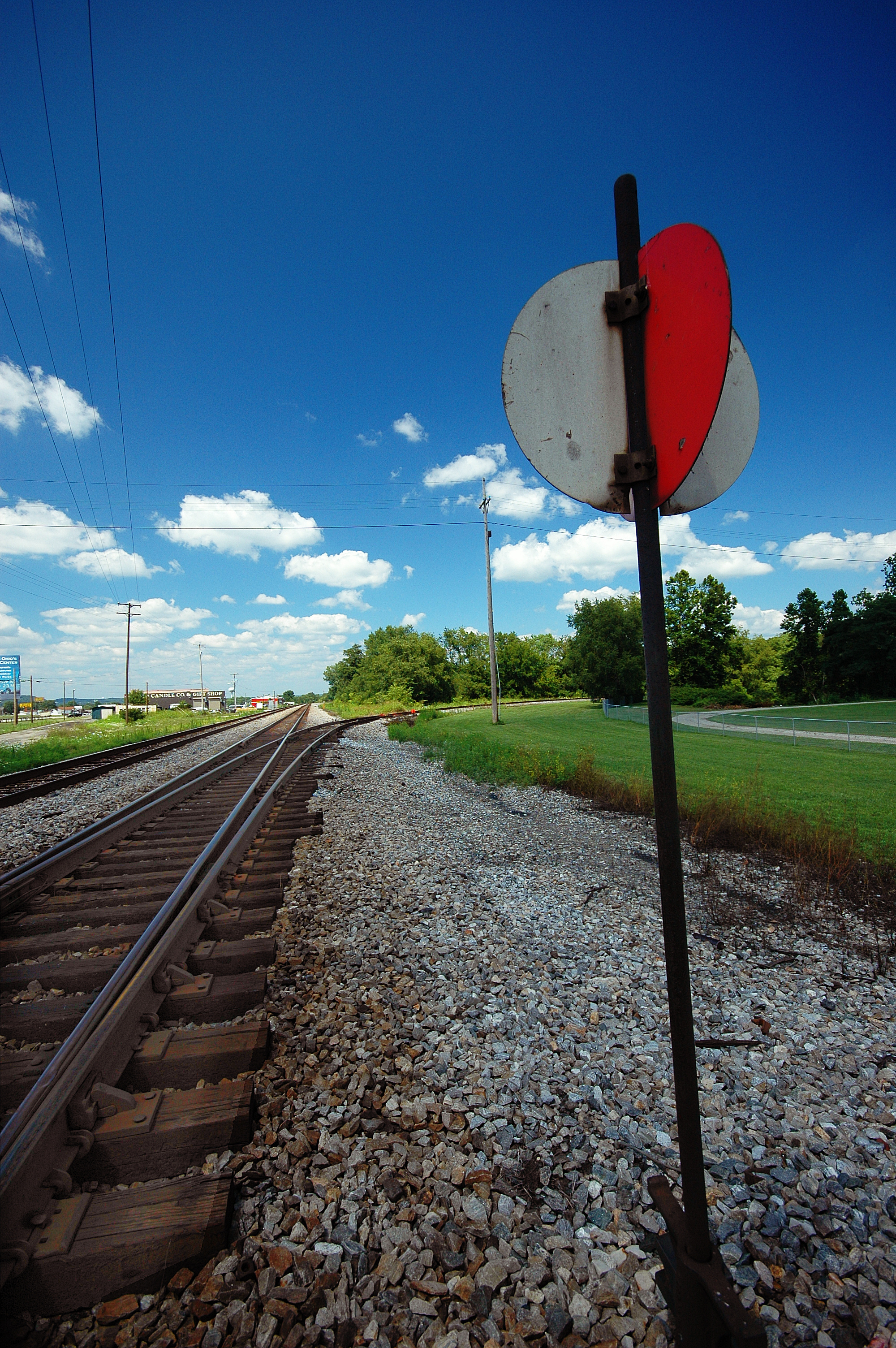
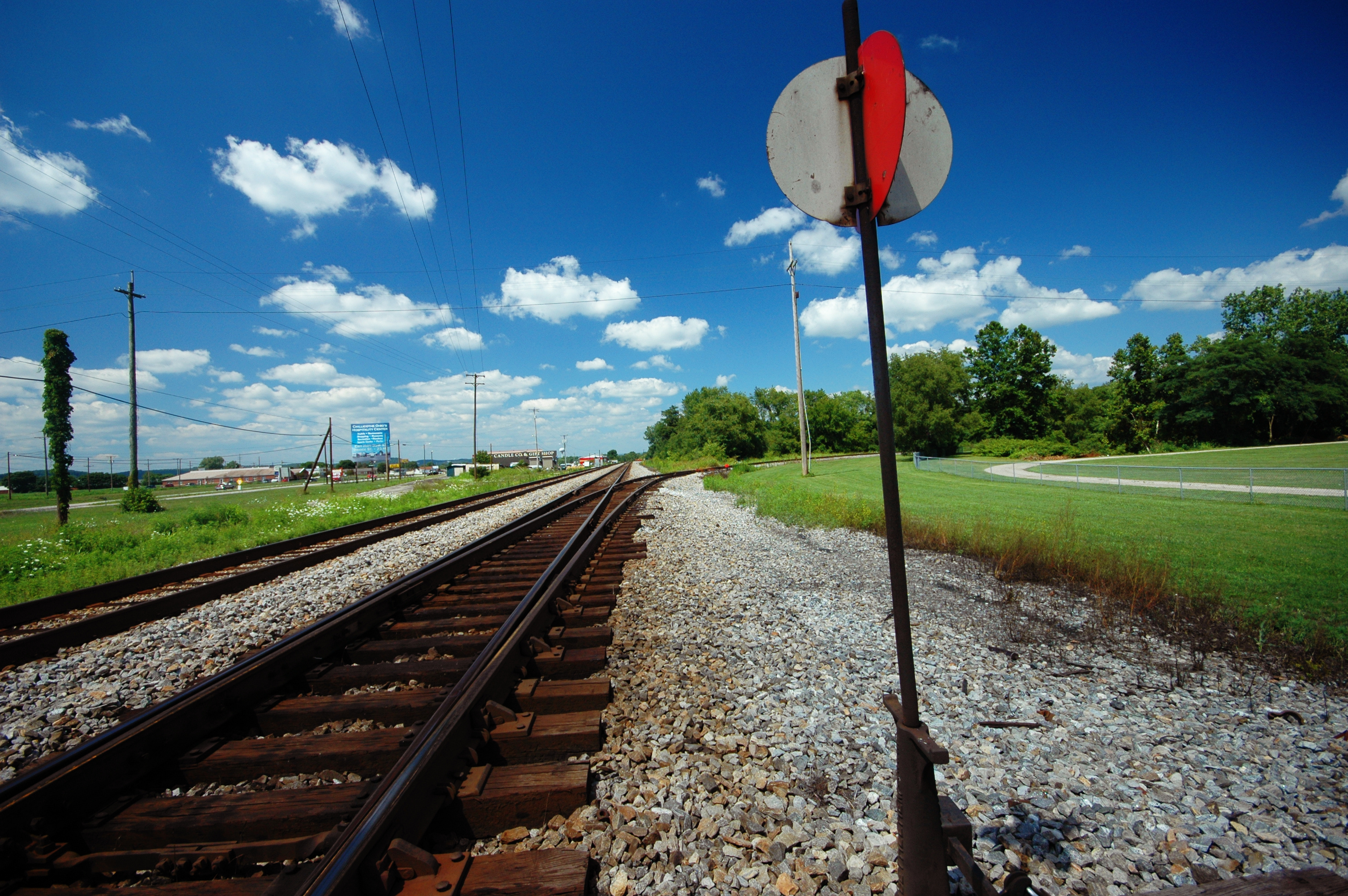
Q634 - MP 34
Piketon 2
Scioto Trail Forest Road

Piketon 3

Pumpkin-O-Rama

Winter Sky 5~365
Farmland — Jackson Township, Pike County, Ohio
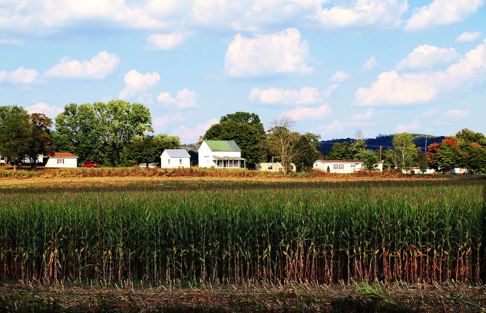
Farm Near Piketon, Ohio
Ohio Farm
10.2007 033
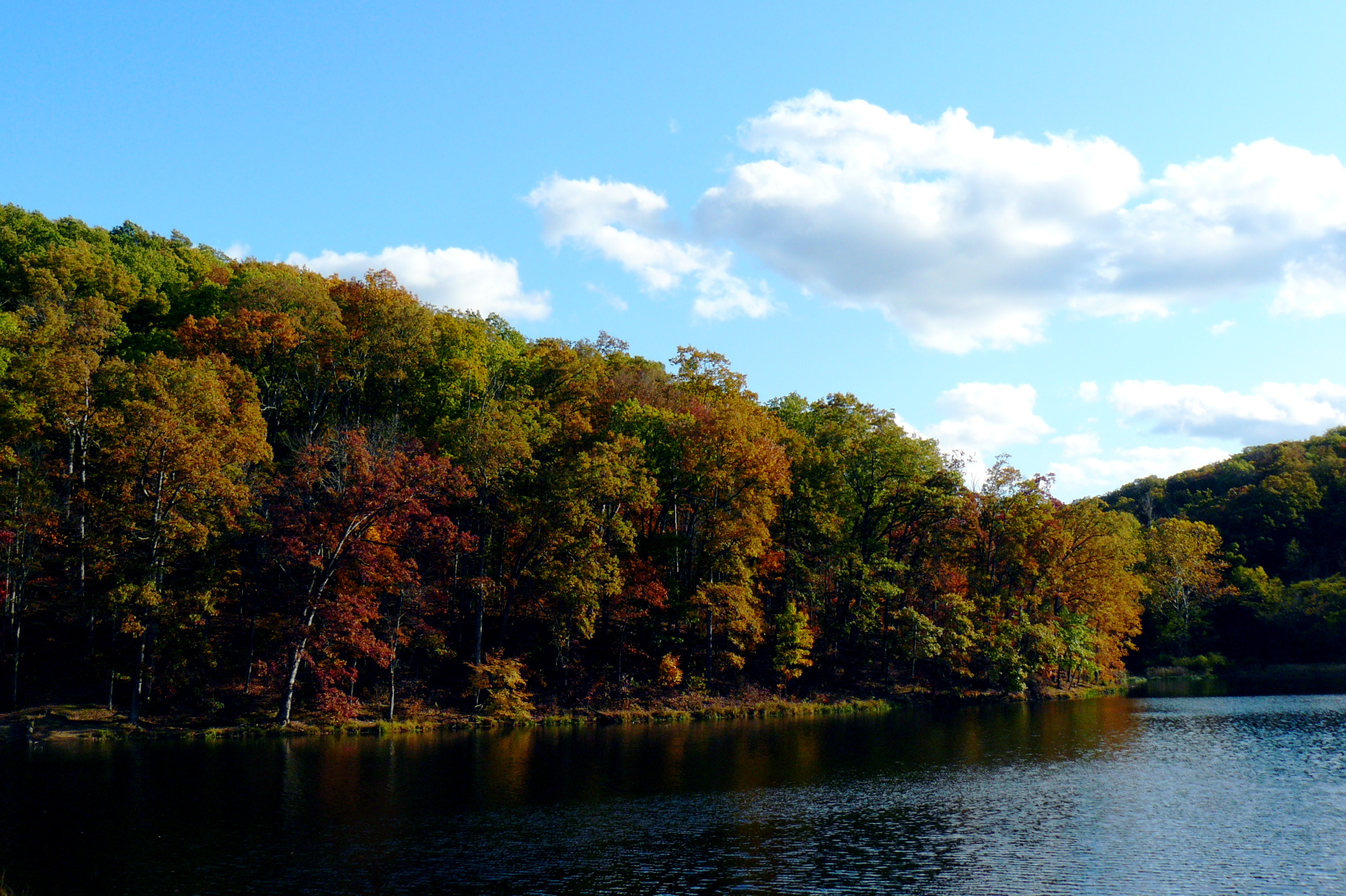
Stewart Lake
Piketon 1
Topographic Map of Skyline Dr, Waverly, OH, USA
Find elevation by address:

Places near Skyline Dr, Waverly, OH, USA:
Pike Water Inc.
Adena Pike Medical Center
Pee Pee Township
East 2nd Street
Pike County
Piketon
Victory Drive
221 W Emmitt Ave
311 Mill St
350 Moore St
Waverly
9434 Oh-220
N Bridge St, Chillicothe, OH, USA
649 Copeland Rd
Prussia Road
East 7th Street
Ohio 32 & Wakefield Mound Road
Stafford Drive
The Ohio State University South Centers
Seal Township
Recent Searches:
- Elevation of Lampiasi St, Sarasota, FL, USA
- Elevation of Elwyn Dr, Roanoke Rapids, NC, USA
- Elevation of Congressional Dr, Stevensville, MD, USA
- Elevation of Bellview Rd, McLean, VA, USA
- Elevation of Stage Island Rd, Chatham, MA, USA
- Elevation of Shibuya Scramble Crossing, 21 Udagawacho, Shibuya City, Tokyo -, Japan
- Elevation of Jadagoniai, Kaunas District Municipality, Lithuania
- Elevation of Pagonija rock, Kranto 7-oji g. 8"N, Kaunas, Lithuania
- Elevation of Co Rd 87, Jamestown, CO, USA
- Elevation of Tenjo, Cundinamarca, Colombia