Elevation of Pee Pee Township, OH, USA
Location: United States > Ohio > Pike County >
Longitude: -83.014652
Latitude: 39.132242
Elevation: 254m / 833feet
Barometric Pressure: 98KPa
Elevation Map:
Satellite Map:
Related Photos:
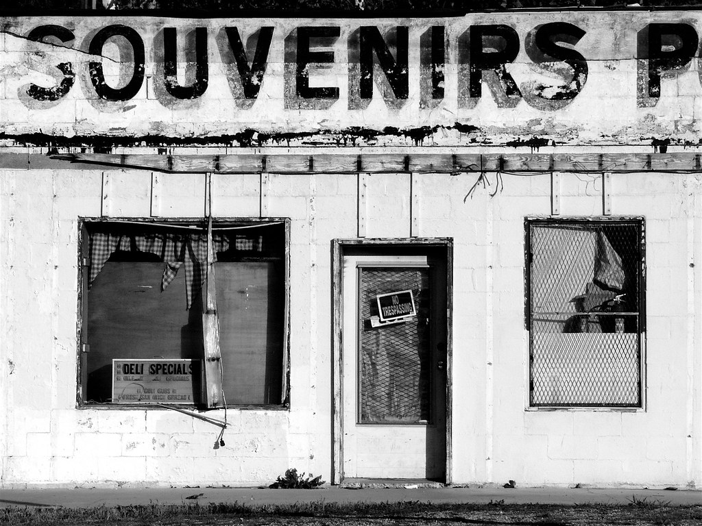
Souvenirs (B&W)

1953 Lincoln Capri (2)

Abandoned Gas Station
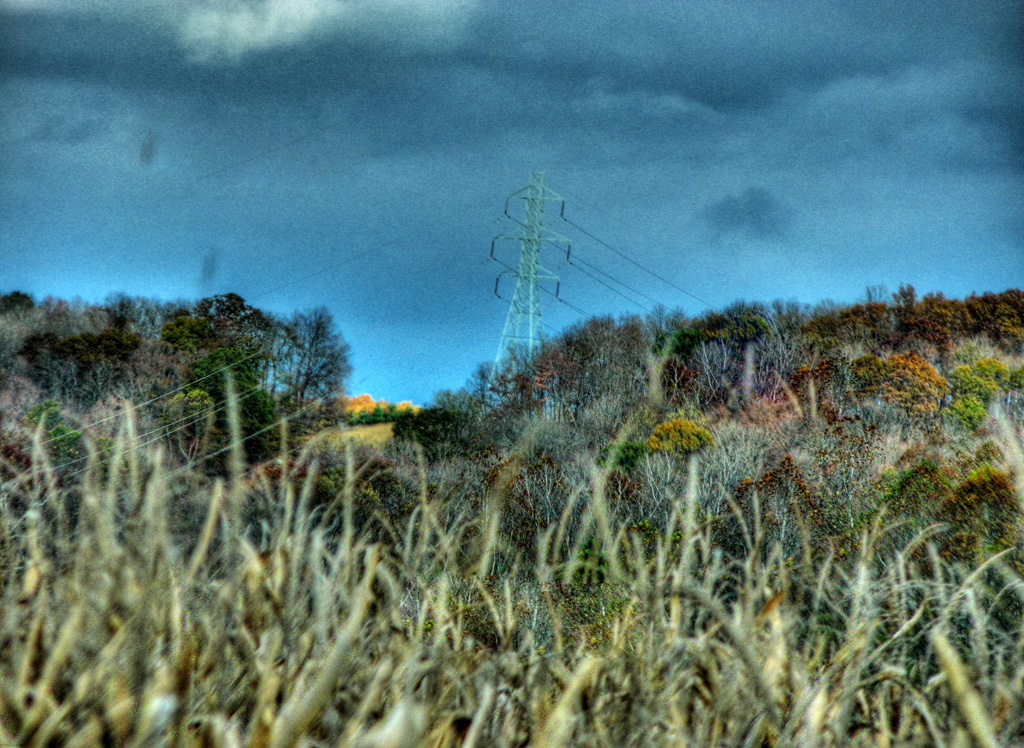
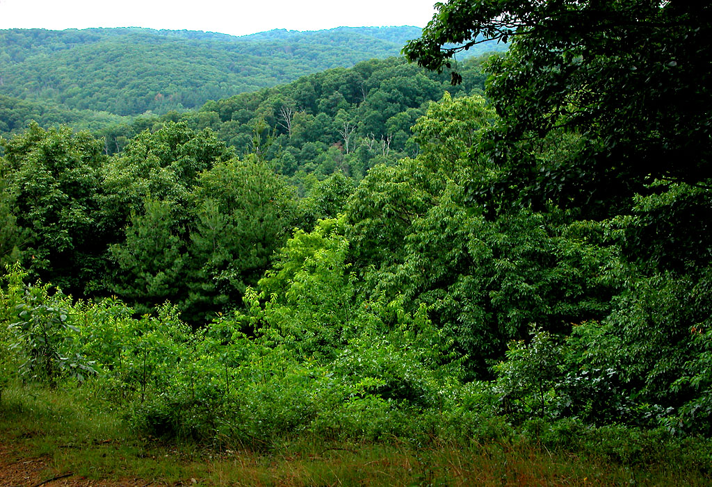
View from Chenoweth Fork Valley
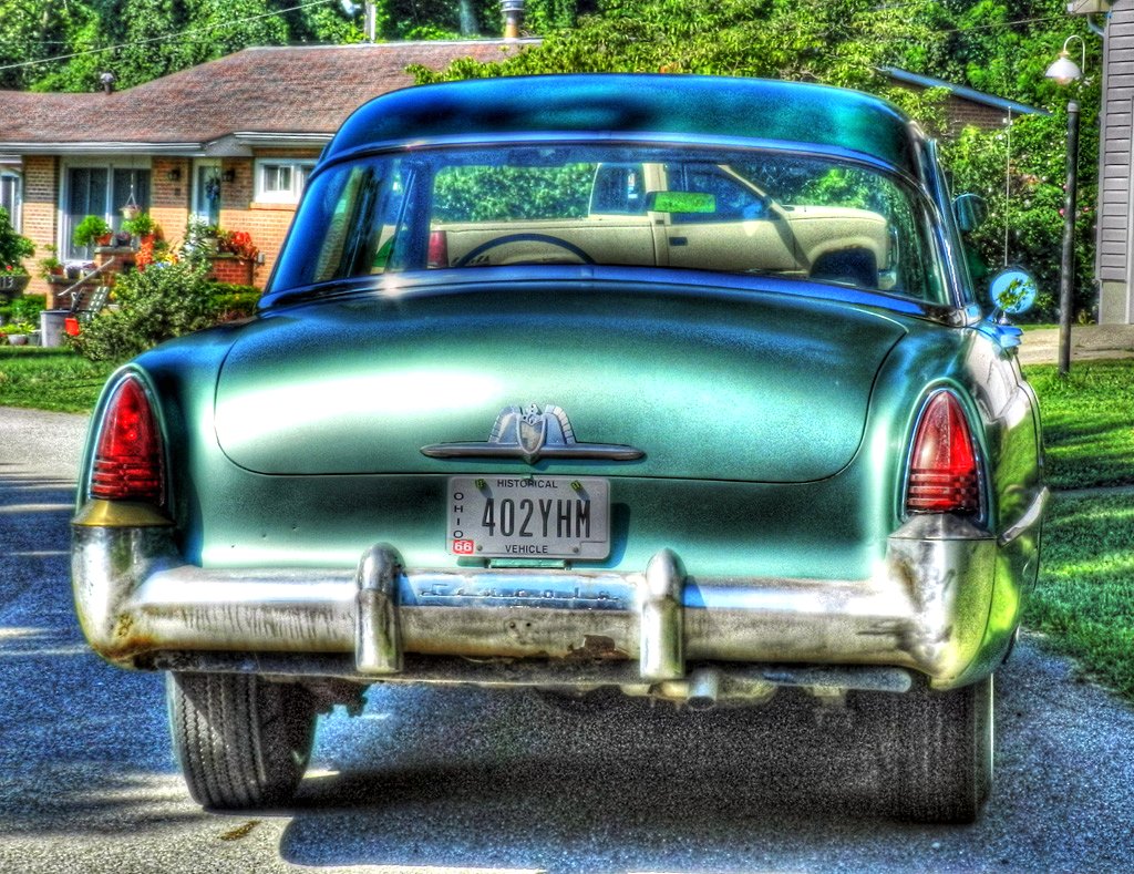
1953 Lincoln Capri
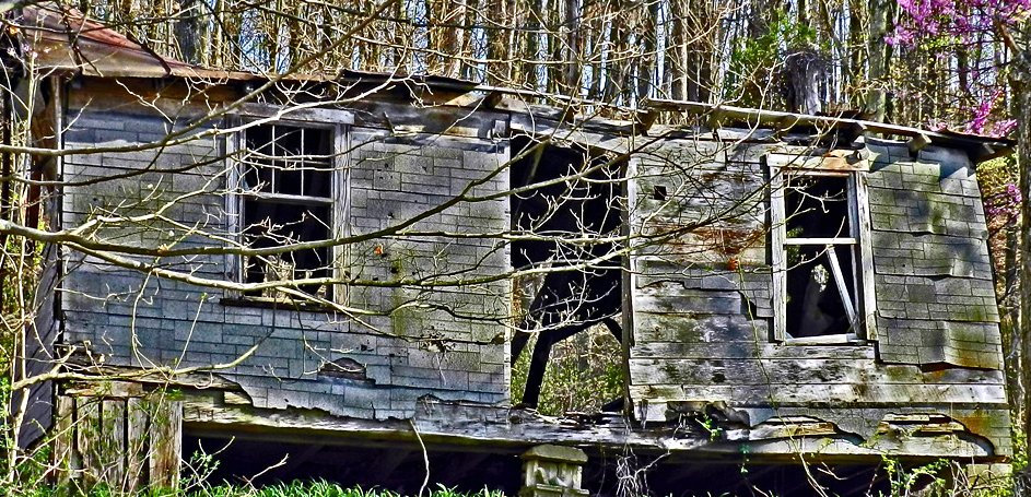
Decaying Dwelling (revisited)
Jones-Cutler Historic House

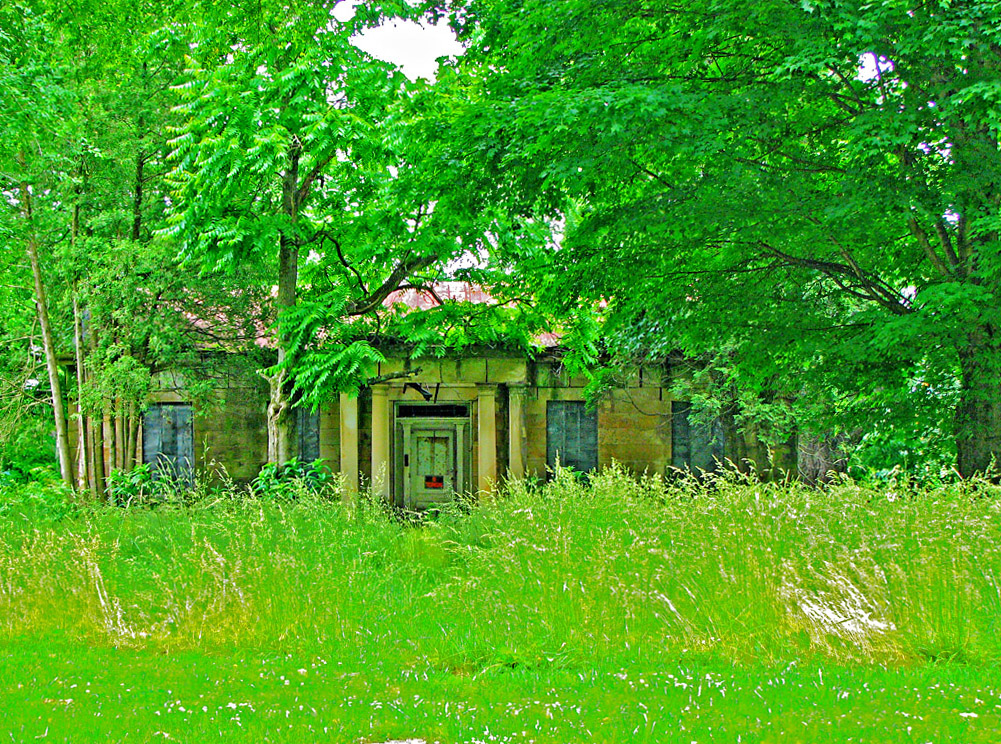
Abandoned Abode

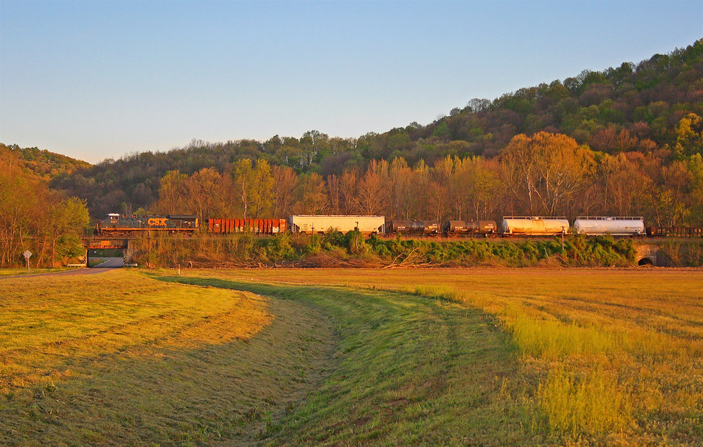
Scioto Valley Morning
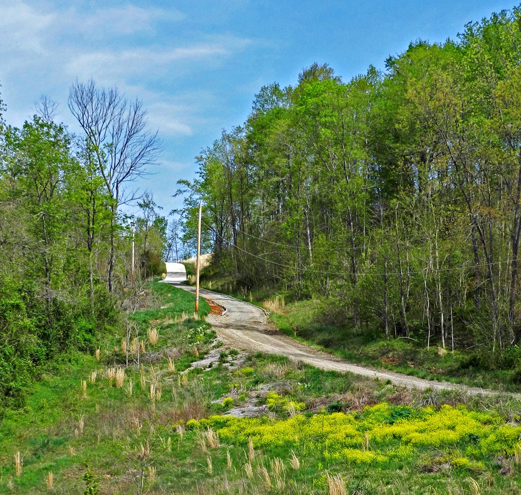
Long Driveway in Appalachia
View in Piketon
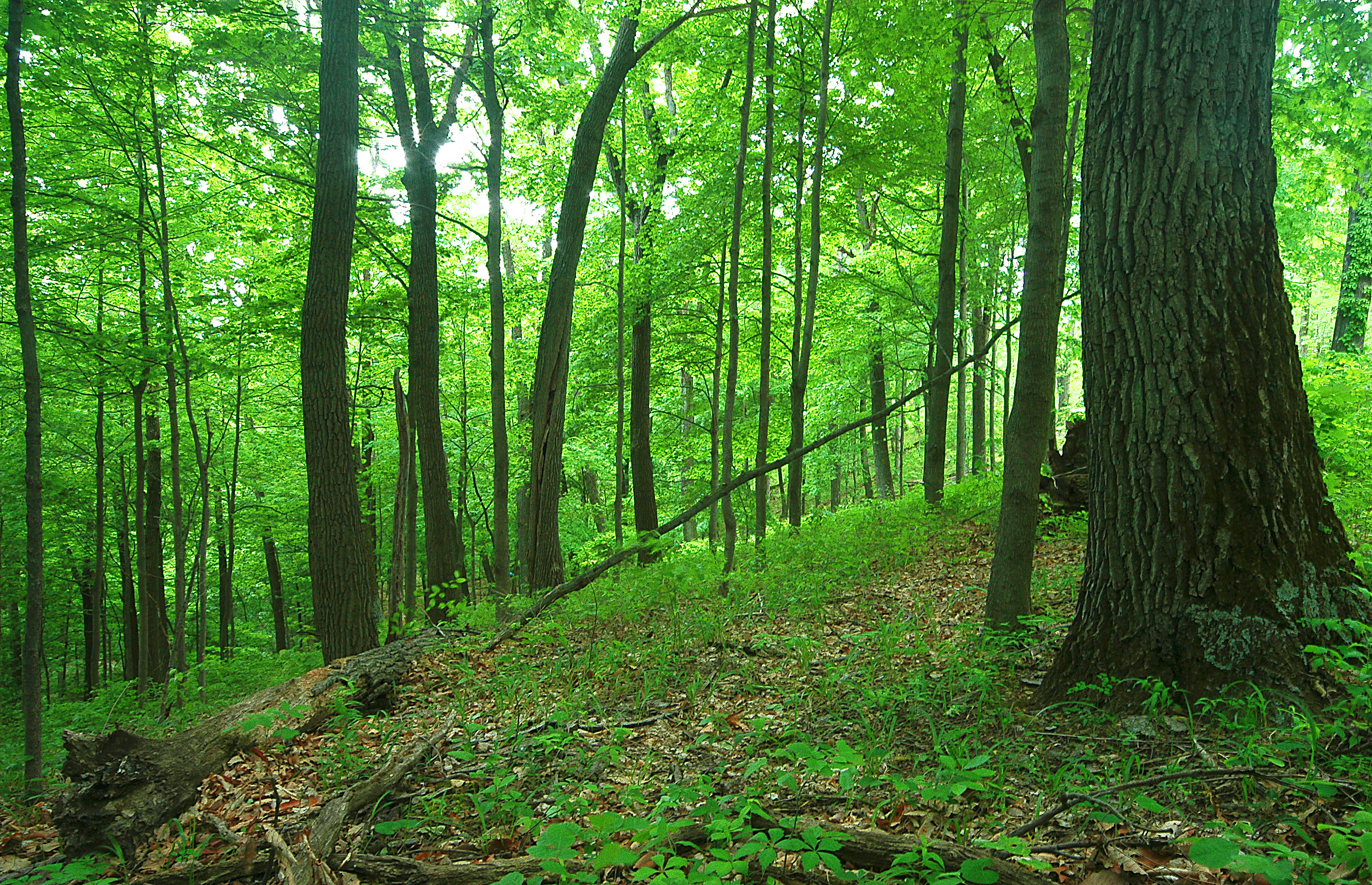
Scioto Trail State Forest
View of "Pomeroy's Coal Beds," at Carr's Run, Ohio
Green/Green
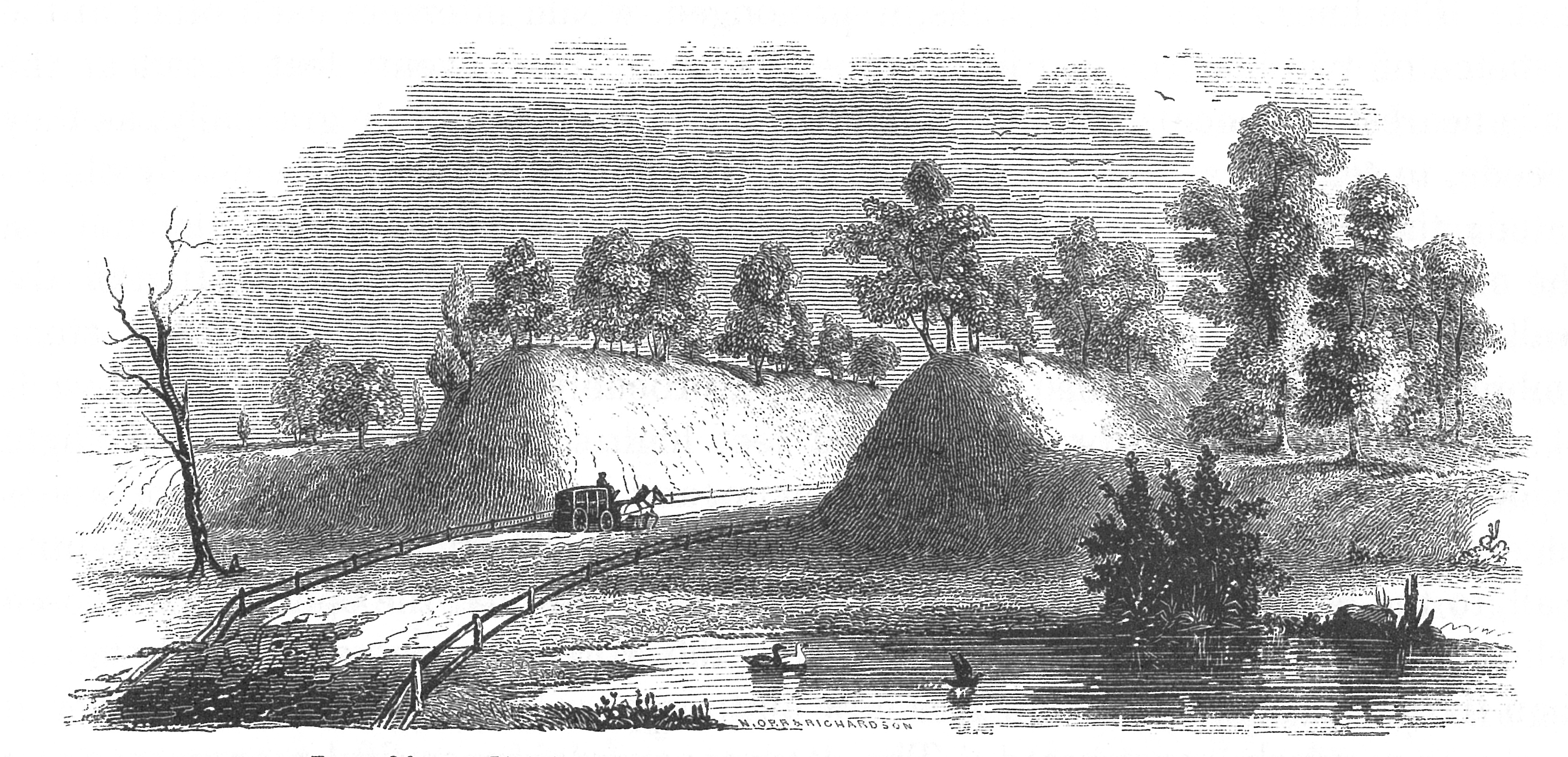
View of Graded Way Near Piketon, Ohio
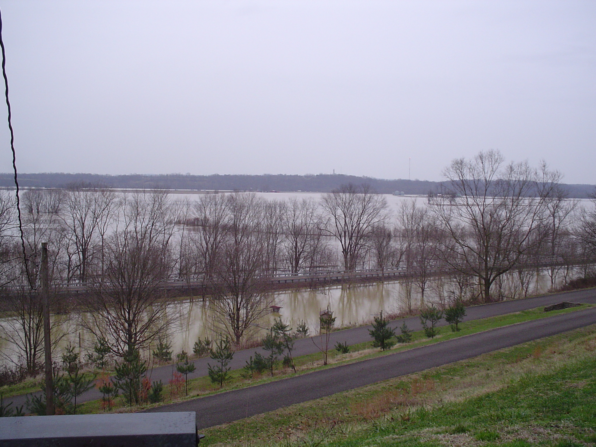
more flood
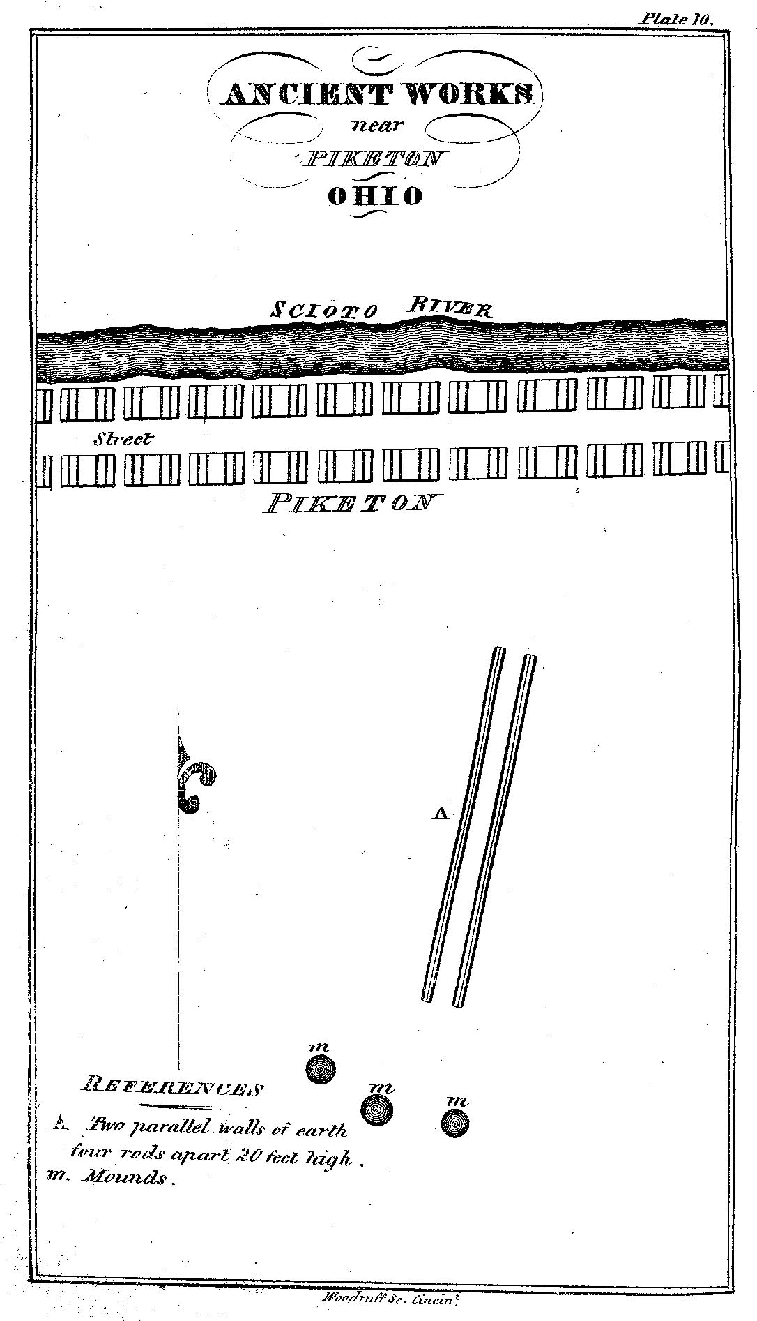
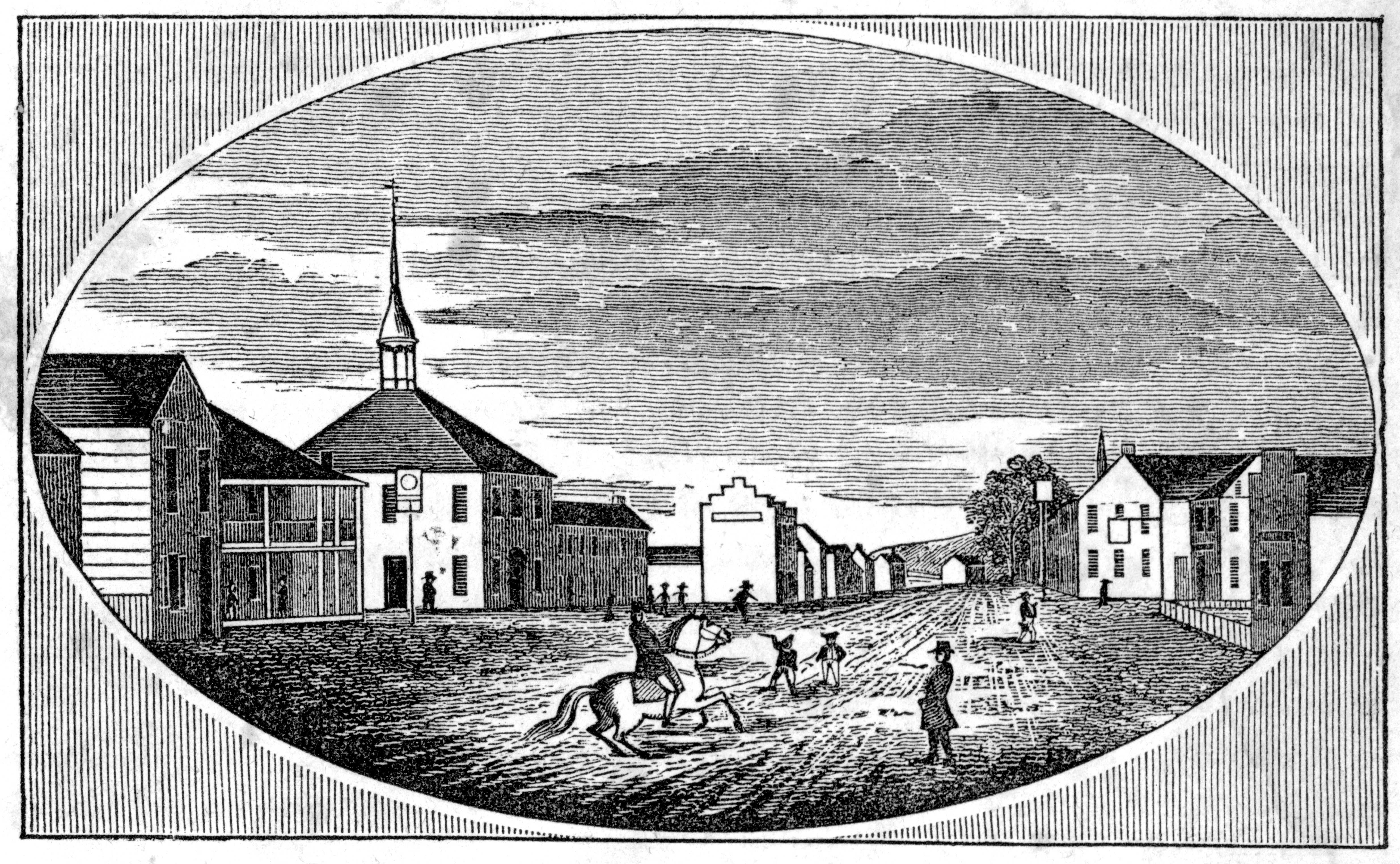
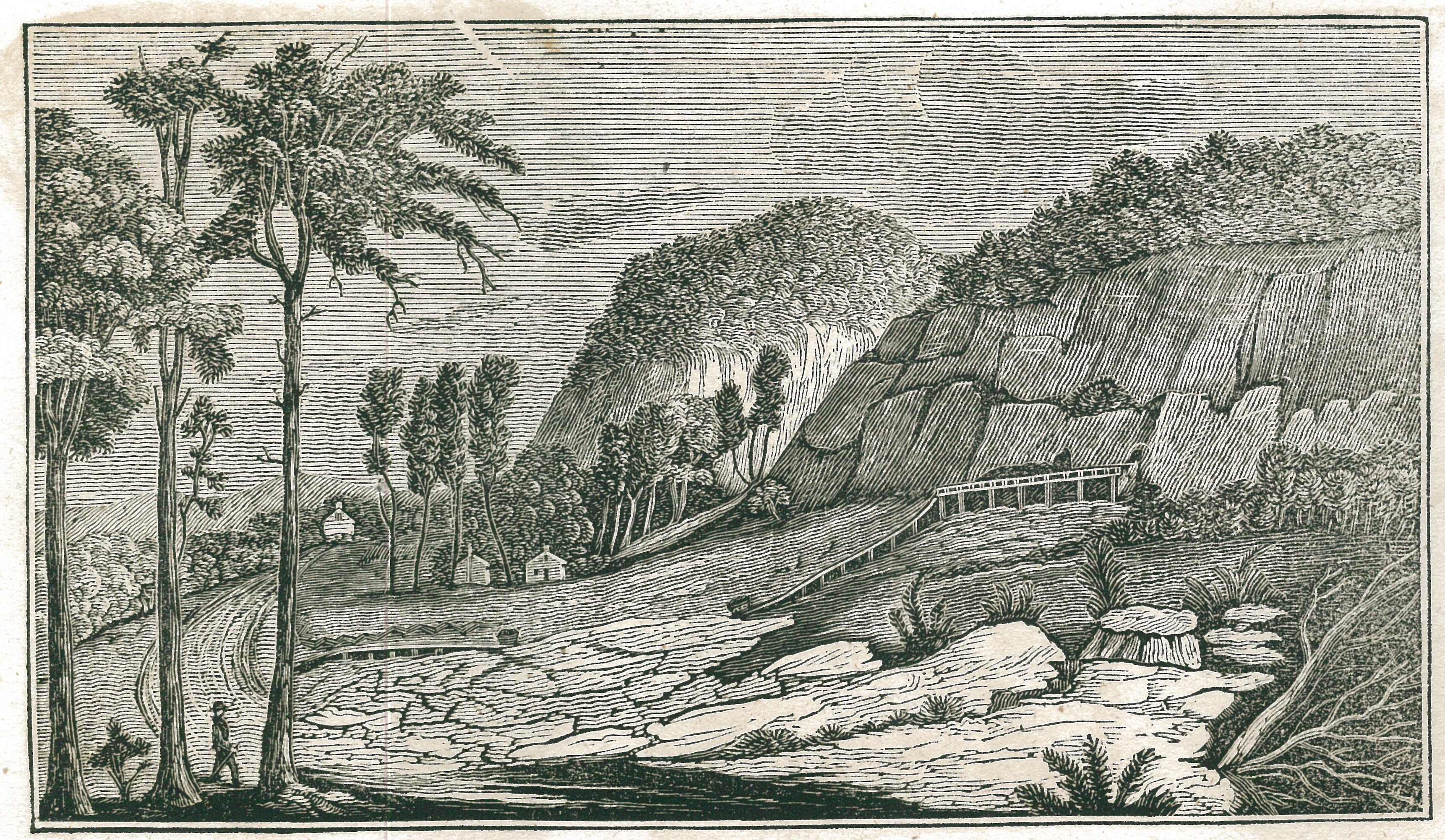
Ancient Works near Piketon, Ohio
the view

The View West

The View South

The View North

Nikon D90 Test 3

Scioto Trail State Forest

Quiet Day At The Lake
Q634 - MP 34

Piketon 2

Forest Glow

Scioto Trail Forest Road

Piketon 3

Piketon 1

Pumpkin-O-Rama

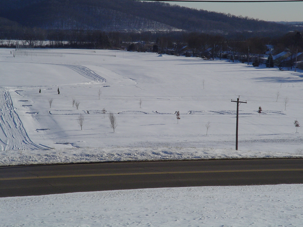
Winter Sky 5~365

Farm Near Piketon, Ohio

Ohio Farm
Farmland — Jackson Township, Pike County, OH
10.2007 033

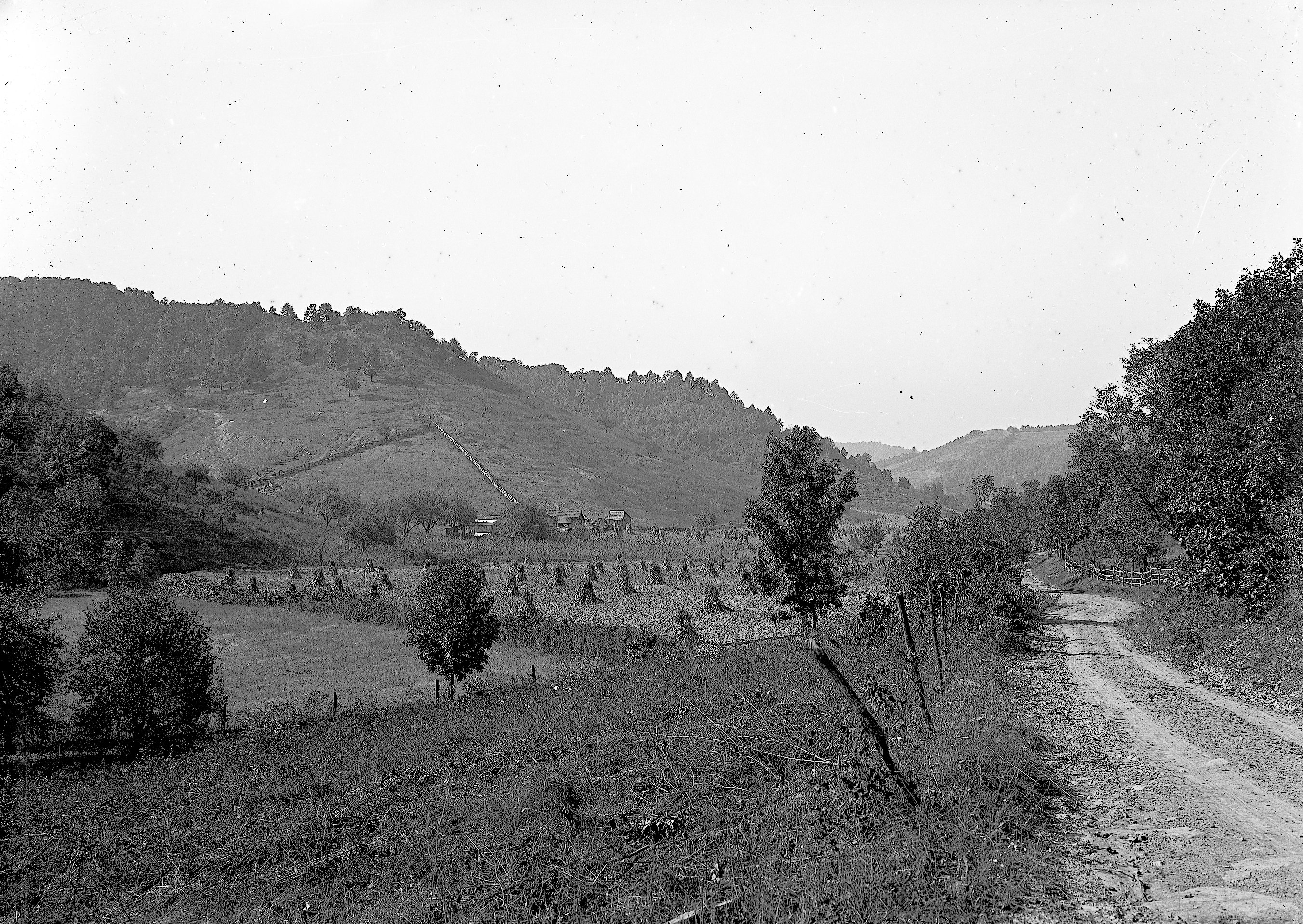
Appalachian Morning

Appalachian Morning 2
Topographic Map of Pee Pee Township, OH, USA
Find elevation by address:

Places in Pee Pee Township, OH, USA:
Places near Pee Pee Township, OH, USA:
Adena Pike Medical Center
East 2nd Street
Victory Drive
221 W Emmitt Ave
Waverly
Skyline Dr, Waverly, OH, USA
Prussia Road
N Bridge St, Chillicothe, OH, USA
9434 Oh-220
East 7th Street
Stafford Drive
Pike Water Inc.
649 Copeland Rd
350 Moore St
Piketon
Pike County
311 Mill St
Seal Township
Big Beaver Creek Golf Club
Ohio 32 & Wakefield Mound Road
Recent Searches:
- Elevation of Corso Fratelli Cairoli, 35, Macerata MC, Italy
- Elevation of Tallevast Rd, Sarasota, FL, USA
- Elevation of 4th St E, Sonoma, CA, USA
- Elevation of Black Hollow Rd, Pennsdale, PA, USA
- Elevation of Oakland Ave, Williamsport, PA, USA
- Elevation of Pedrógão Grande, Portugal
- Elevation of Klee Dr, Martinsburg, WV, USA
- Elevation of Via Roma, Pieranica CR, Italy
- Elevation of Tavkvetili Mountain, Georgia
- Elevation of Hartfords Bluff Cir, Mt Pleasant, SC, USA