Elevation of Montlake, Soddy-Daisy, TN, USA

Location: United States > Tennessee > Hamilton County > Soddy-daisy >

Longitude: -85.223074

Latitude: 35.2443827

Elevation: 527m / 1729feet

Barometric Pressure: 95KPa

Elevation Map:

elevation map of Montlake, Soddy-Daisy, TN, USA

Satellite Map:

Satellite map of Montlake, Soddy-Daisy, TN, USA

Related Photos:

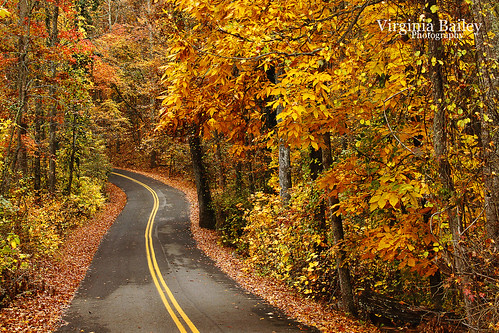
road autumn trees orange fallleaves usa fall leaves america woods october tn tennessee explore walden signalmountain 52weeks project52 hamptonroad virginiabaileyphotography
Week 42: Orange
friends sunset chattanooga topf25 water fishing tn tennessee marylee naturesfinest views100 harrisonbaystatepark colorphotoaward 100viewclub maryleemartin platinumheartaward naturessilhouettes damniwishidtakenthat maryleeusa maryleepope
~Sunset Fishing~
square squareformat crema iphoneography instagramapp uploaded:by=instagram
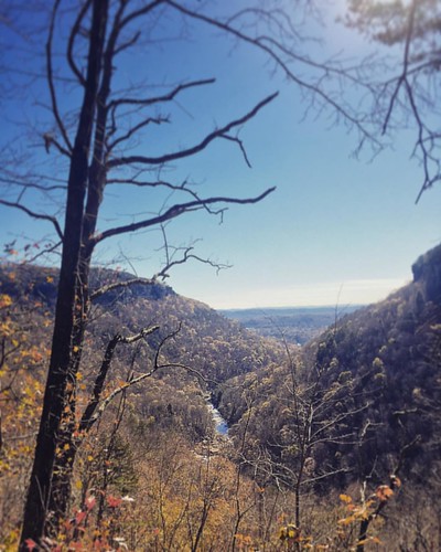
Sometimes you get the best views once the leaves have fallen ???????? #chatt #chattanooga #noog #nooga #noogagram #nashvilleexplorersclub #mountains #moretoexplore #letscamp #livelocallytn #onlytennisee #outside #outdoors #instagramtennes
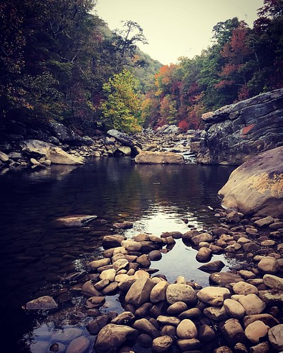
sunset
Lake view
square squareformat mayfair iphoneography instagramapp uploaded:by=instagram foursquare:venue=4c01935d3ab80f47146190ff
Must be an interesting place to work. I bet it has a good view.
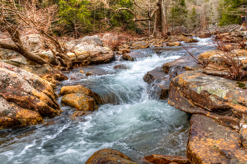
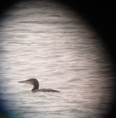
bird tn hamiltoncounty gaviaimmer gavia
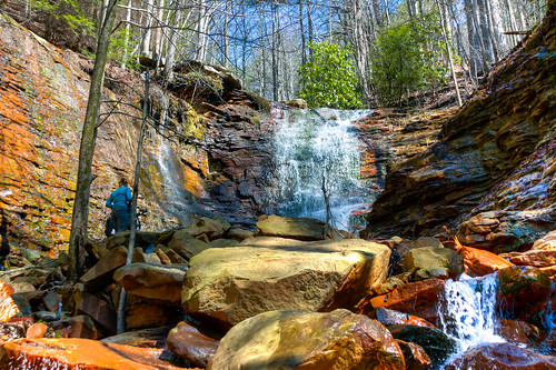
Common Loon
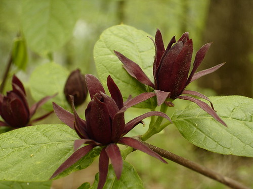
geotagged tennessee hamiltoncounty sweetshrub calycanthus calycanthaceae carolinaallspice northchickamaugacreekgreenway calycanthusfloridanus geo:lat=35114011 geo:lon=85227985
Calycanthus floridus (Sweetshrub, Carolina Allspice) Calycanthaceae
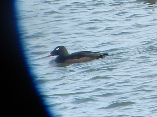
chattanooga tn dam tennessee chickamauga whitewingedscoter chickamaugadam
ww scoter male Chickamauga2
sunset sunsetsandsunrisesgold
Lake view
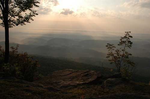
cliff sun fall leaves clouds view rolling brow signalmountain hlls
WBrowSignalMtn-4
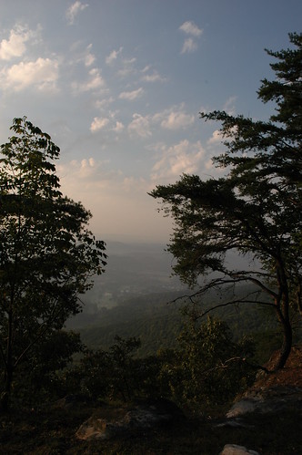
cliff fall leaves clouds view rolling brow signalmountain hlls
WBrowSignalMtn-2
cliff sun fall leaves clouds view rolling brow signalmountain hlls
WBrowSignalMtn-1
square lofi squareformat iphoneography instagramapp uploaded:by=instagram
@xpectopatronum on the hang gliding ramp. #babe #model #portrait #tennessee #view #sequatchievalley
Western Grebe
geotagged tennessee poisonivy hamiltoncounty toxicodendron anacardiaceae toxicodendronradicans northchickamaugacreekgreenway geo:lat=35112958 geo:lon=85227900
Toxicodendron radicans (Poison Ivy) Anacardiaceae
cliff sun fall leaves clouds view rolling brow signalmountain hlls
WBrowSignalMtn-5
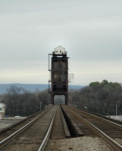
bridge chattanooga nikon d2x tennesse nikkor chickamauga 2485mmf284d southernrailroad luxomni
Chickamauga Bridge
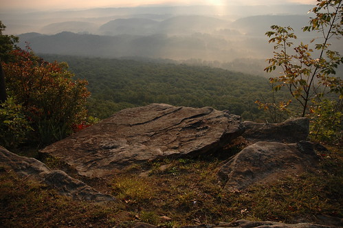
autumn trees red cliff brown sun tree green fall grass leaves rock fog clouds haze bush rocks view dirt rolling brow signalmountain hlls
The Rock
blackandwhite bw usa church chattanooga america tn tennessee columns arches presbyterian fallingwater countrychurch soddydaisy hixson
Falling Water Presbyterian Church
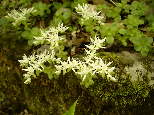
geotagged tennessee crassulaceae sedum hamiltoncounty stonecrop sedumternatum northchickamaugacreekgreenway geo:lat=351173 geo:lon=852242
Sedum ternatum (Stonecrop) Crassulaceae
Hogskin Branch
road autumn trees orange fall chattanooga leaves rock woods october tn tennessee country boulder walden signalmountain
Caution: Boulder
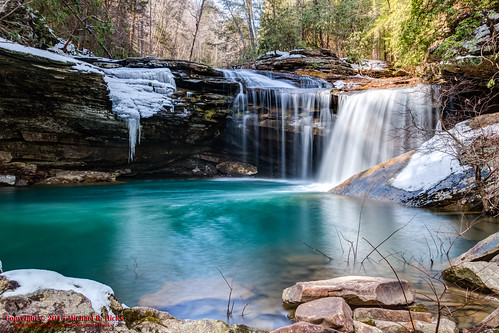
winter usa ice geotagged unitedstates hiking tennessee hdr flattopmountain soddydaisy photomatix cumberlandtrail tennesseestateparks salecreek cumberlandtrailstatepark canon7dmkii sigma18250mmf3563dcmacrooshsm geo:lat=3536704333 geo:lon=8517521167 possumcreekgorgesection threegorgessegment hugheshistorical imodiumfalls littlepossumcreekfalls littlepossumcreek
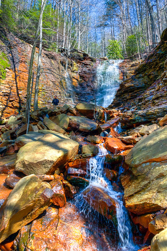
Imodium Falls (Little Possum Creek Falls) - Possum Creek Gorge Section of the Cumberland Trail
chattanooga unitedstates tennessee infrared 695nm ir695
Chickamauga Dam
square squareformat iphoneography instagramapp xproii uploaded:by=instagram
Fall is in full force. ????????????????#exploreTN #exploremore #explore #rei #rei1440project #RedefineTheOutdoors #tn #tnwild #tennessee #ighikers #igerstennessee #instagramtennessee #outside #outdoors #OutdoorsUSA #onlyt
waterfall unitedstates tennessee waterfalls soddydaisy cumberlandtrail tennesseestateparks exif:isospeed=500 geo:state=tennessee cumberlandtrailstatepark geo:countrys=unitedstates exif:aperture=ƒ80 geo:lat=352675 northchickamaugatrailsegmentofthecumberlandtrail geo:city=soddydaisy coopercreekfalls geo:lon=85263611111112 northchickamaugacreeksegment
Cooper Creek Falls - North Chickamauga Trail Segment of the Cumberland Trail - February 16, 2013
usa geotagged unitedstates tennessee huckleberry soddydaisy cumberlandtrail tennesseestateparks cumberlandtrailstatepark mimosatrailerpark geo:lat=3525284475 geo:lon=8524093625 northchickamaugacreeksegment
North Chickamauga Trail Segment of the Cumberland Trail
usa geotagged unitedstates tennessee grant soddydaisy cumberlandtrail tennesseestateparks cumberlandtrailstatepark geo:lat=3526781814 geo:lon=8526365273 mimosatrailerpark northchickamaugacreeksegment
North Chickamauga Trail Segment of the Cumberland Trail
usa geotagged unitedstates tennessee grant soddydaisy cumberlandtrail tennesseestateparks cumberlandtrailstatepark geo:lat=3526786598 geo:lon=8526360182 mimosatrailerpark northchickamaugacreeksegment
North Chickamauga Trail Segment of the Cumberland Trail
bird heron animal tennessee greatblueheron lovephotography harrisonbaystatepark
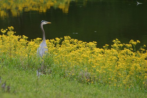
Great Blue Heron
usa geotagged waterfall unitedstates tennessee grant waterfalls soddydaisy cumberlandtrail tennesseestateparks cumberlandtrailstatepark mimosatrailerpark geo:lat=3526776300 geo:lon=8526350200 northchickamaugacreeksegment
North Chickamauga Trail Segment of the Cumberland Trail
waterfall unitedstates tennessee waterfalls soddydaisy cumberlandtrail tennesseestateparks camera:make=canon exif:make=canon exif:focallength=18mm exif:isospeed=500 geo:state=tennessee cumberlandtrailstatepark geo:countrys=unitedstates camera:model=canoneos7d exif:model=canoneos7d exif:lens=18200mm northchickamaugatrailsegmentofthecumberlandtrail geo:city=soddydaisy coopercreekfalls geo:lat=35267498333333 geo:lon=85263645 northchickamaugacreeksegment
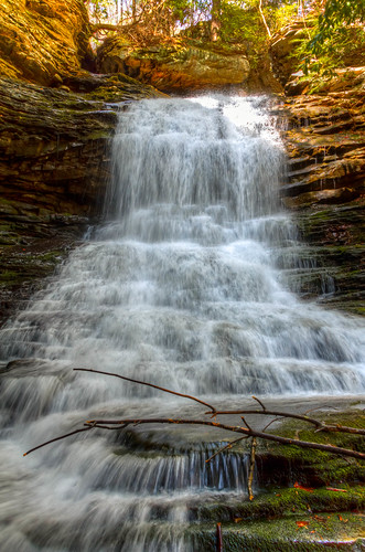
Cooper Creek Falls - North Chickamauga Trail Segment of the Cumberland Trail - February 16, 2013
geotagged unitedstates hiking tennessee huckleberry soddydaisy cumberlandtrail tennesseestateparks camera:make=canon exif:make=canon exif:focallength=18mm exif:isospeed=125 geo:state=tennessee cumberlandtrailstatepark geo:countrys=unitedstates camera:model=canoneos7d exif:model=canoneos7d exif:lens=18200mm exif:aperture=ƒ90 mimosatrailerpark northchickamaugatrailsegmentofthecumberlandtrail geo:city=soddydaisy geo:lat=3524613800 geo:lon=8523562600 geo:lat=35246138333333 geo:lon=85235626666667 northchickamaugacreeksegment
North Chickamauga Trail Segment of the Cumberland Trail - February 16, 2013
usa geotagged unitedstates tennessee soddydaisy cumberlandtrail tennesseestateparks cumberlandtrailstatepark mimosatrailerpark mowbraymountain geo:lat=3526438522 geo:lon=8525460422 northchickamaugacreeksegment
North Chickamauga Trail Segment of the Cumberland Trail
usa geotagged unitedstates tennessee huckleberry soddydaisy cumberlandtrail tennesseestateparks cumberlandtrailstatepark geo:lat=3524594950 geo:lon=8523628299 mimosatrailerpark northchickamaugacreeksegment
North Chickamauga Trail Segment of the Cumberland Trail
geotagged unitedstates hiking tennessee waterfalls huckleberry soddydaisy cumberlandtrail tennesseestateparks camera:make=canon exif:make=canon exif:focallength=18mm geo:state=tennessee cumberlandtrailstatepark exif:isospeed=250 geo:countrys=unitedstates camera:model=canoneos7d exif:model=canoneos7d exif:lens=18200mm exif:aperture=ƒ71 mimosatrailerpark geo:city=soddydaisy stripminefalls geo:lon=85240686666667 geo:lat=3525264309 geo:lon=8524068591 geo:lat=35252643333333 northchickamaugacreeksegment
Stripmine Falls - North Chickamauga Trail Segment of the Cumberland Trail - February 16, 2013
waterfall unitedstates tennessee waterfalls soddydaisy cumberlandtrail tennesseestateparks camera:make=canon exif:make=canon exif:focallength=18mm exif:isospeed=160 geo:state=tennessee cumberlandtrailstatepark geo:countrys=unitedstates camera:model=canoneos7d exif:model=canoneos7d exif:lens=18200mm northchickamaugatrailsegmentofthecumberlandtrail geo:city=soddydaisy coopercreekfalls geo:lat=35267521666667 geo:lon=85263688333333 northchickamaugacreeksegment
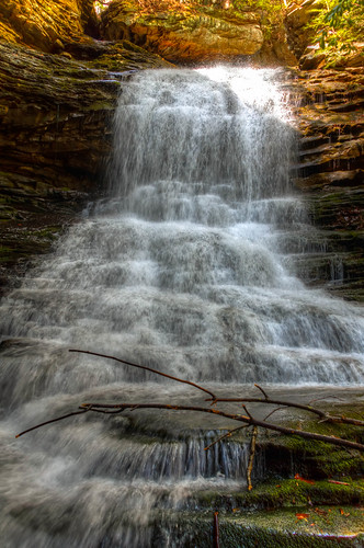
Cooper Creek Falls - North Chickamauga Trail Segment of the Cumberland Trail - February 16, 2013
usa geotagged unitedstates tennessee grant soddydaisy cumberlandtrail tennesseestateparks cumberlandtrailstatepark mimosatrailerpark geo:lat=3526777989 geo:lon=8526508567 northchickamaugacreeksegment
North Chickamauga Trail Segment of the Cumberland Trail
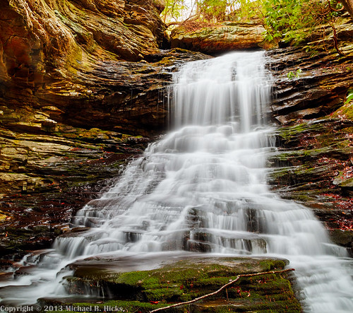
fallingwaterfalls pickettgulf fallingwaterfallsstatenaturalarea
Falling Water Falls, Pickett Gulf, Falling Water Falls State Natural Area, Hamilton County, Tennessee 1
usa geotagged unitedstates tennessee soddydaisy cumberlandtrail tennesseestateparks cumberlandtrailstatepark geo:lat=3526532320 geo:lon=8526315260 mimosatrailerpark mowbraymountain northchickamaugacreeksegment
North Chickamauga Trail Segment of the Cumberland Trail
usa geotagged unitedstates tennessee huckleberry soddydaisy cumberlandtrail tennesseestateparks cumberlandtrailstatepark geo:lat=3525288044 geo:lon=8524084389 mimosatrailerpark northchickamaugacreeksegment
North Chickamauga Trail Segment of the Cumberland Trail