Elevation of Johnson Rd, Soddy-Daisy, TN, USA
Location: United States > Tennessee > Hamilton County > Soddy-daisy >
Longitude: -85.232134
Latitude: 35.213153
Elevation: 225m / 738feet
Barometric Pressure: 99KPa
Elevation Map:
Satellite Map:
Related Photos:

Week 42: Orange

Lake view
Toxicodendron radicans (Poison Ivy) Anacardiaceae
Falling Water Presbyterian Church
Snow 2014

Western Grebe

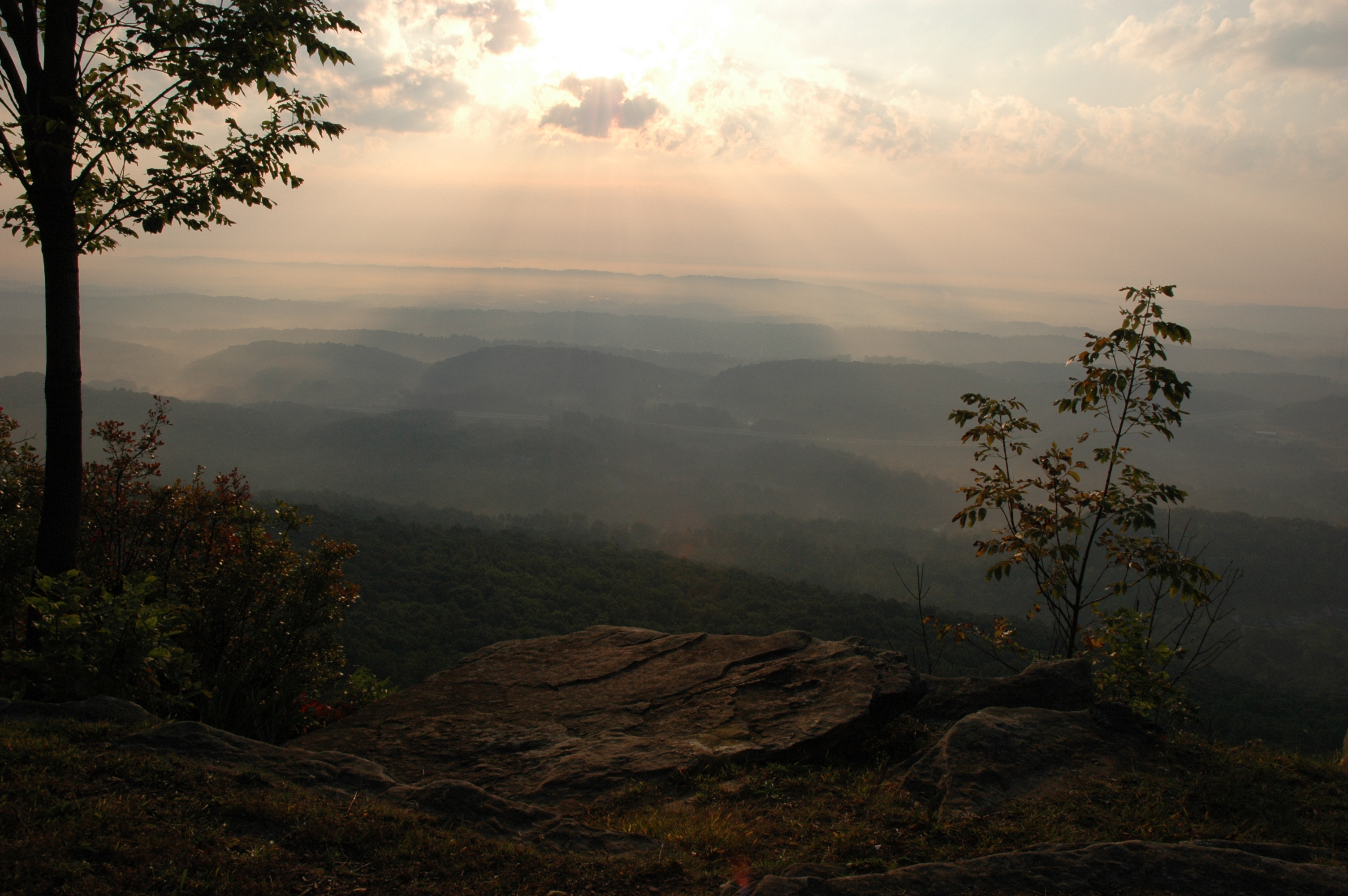
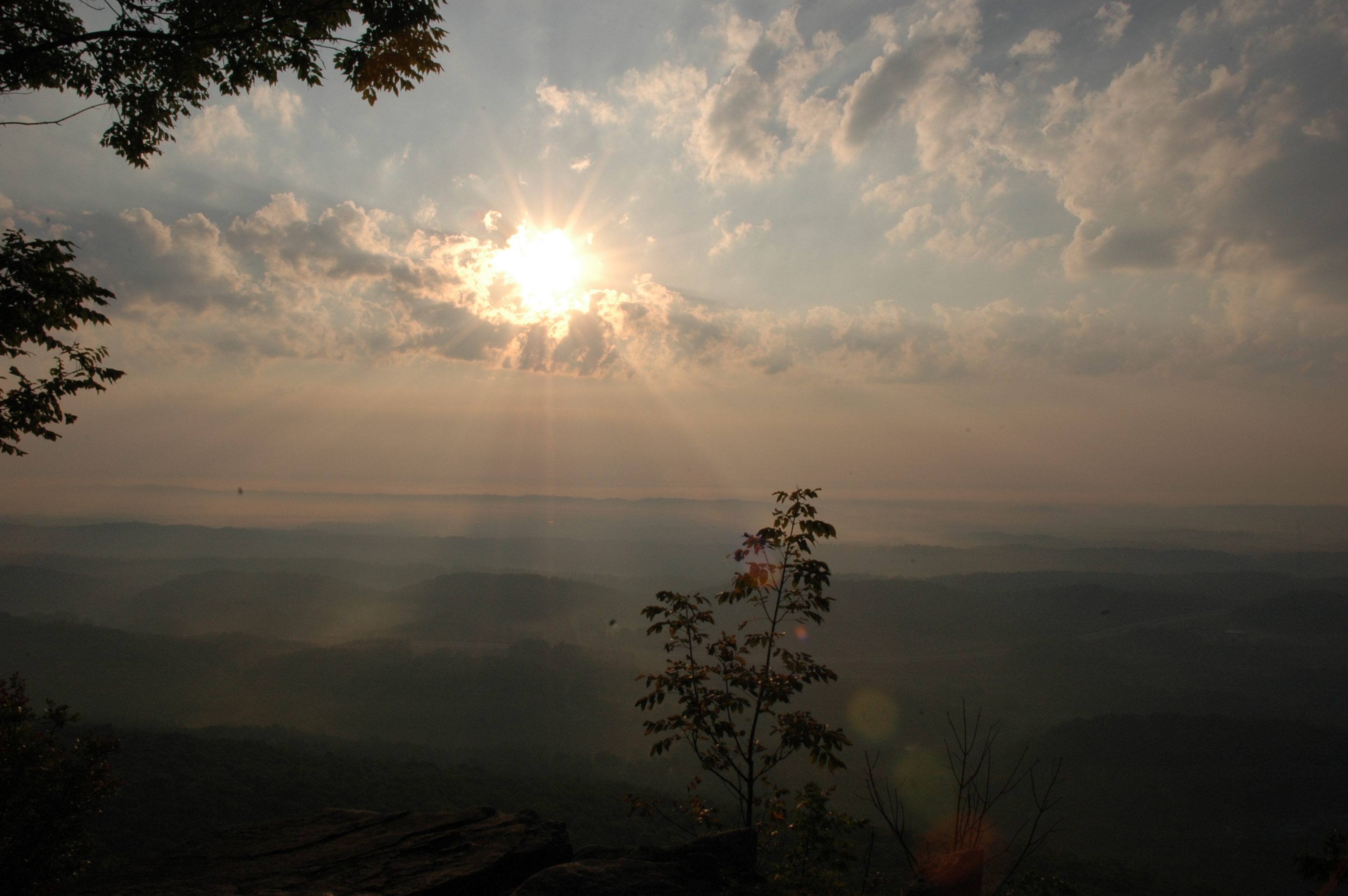
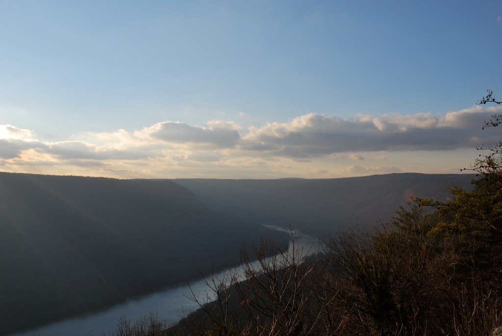
The View

Blue Bunny Icee
Middle Creek Bridge, Rainbow Lake Trail - Signal Mountain, Tennessee

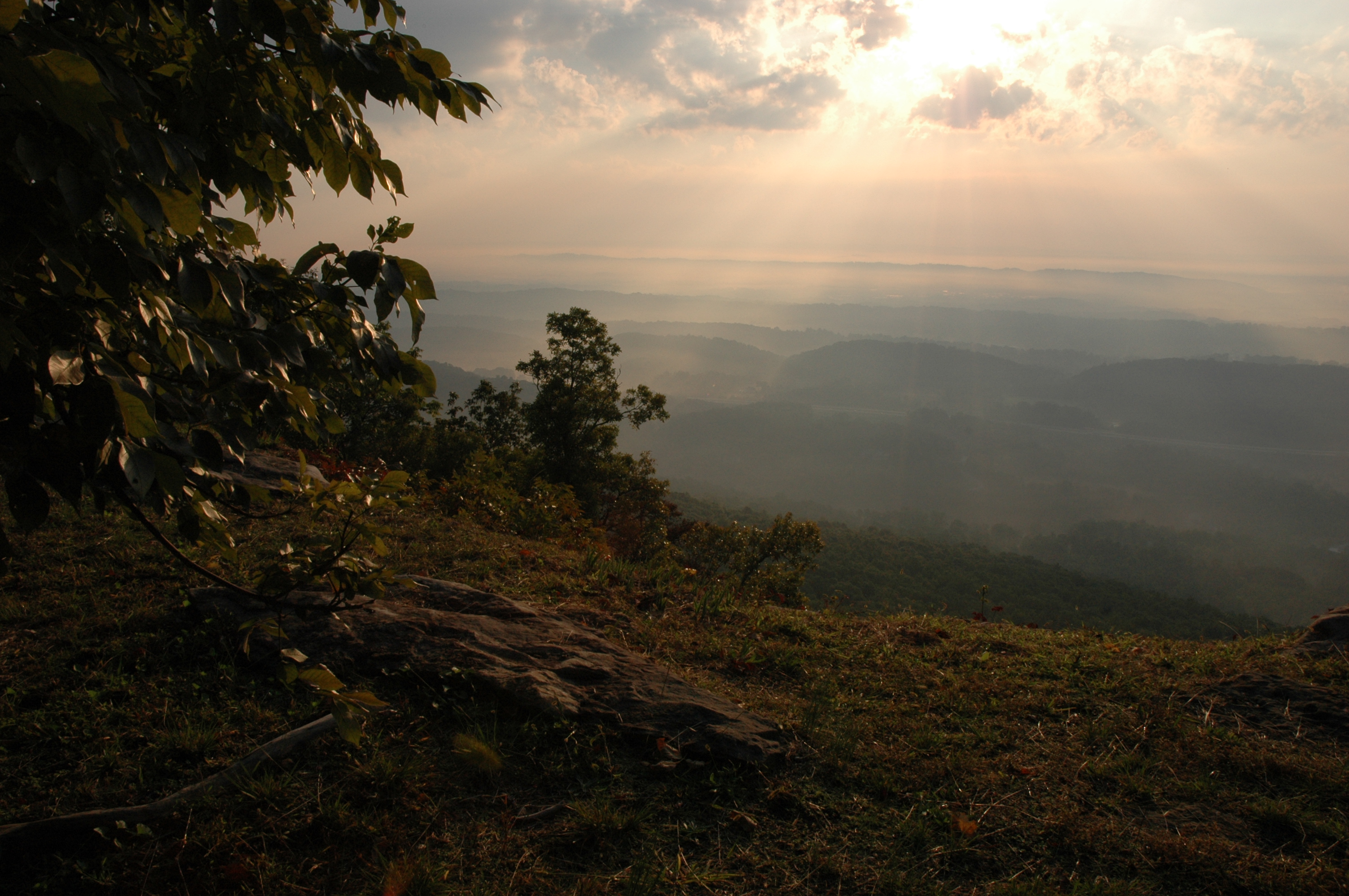
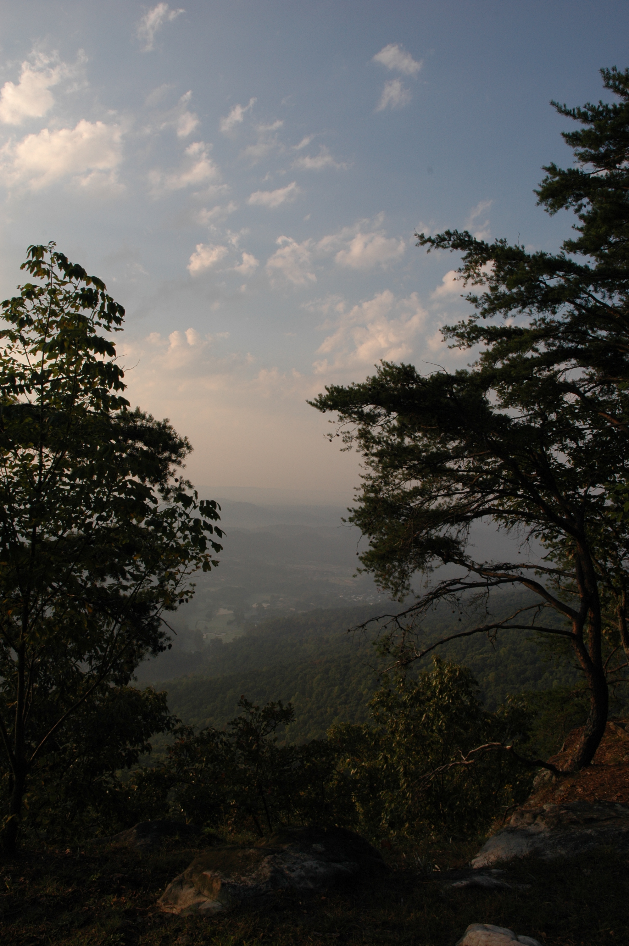
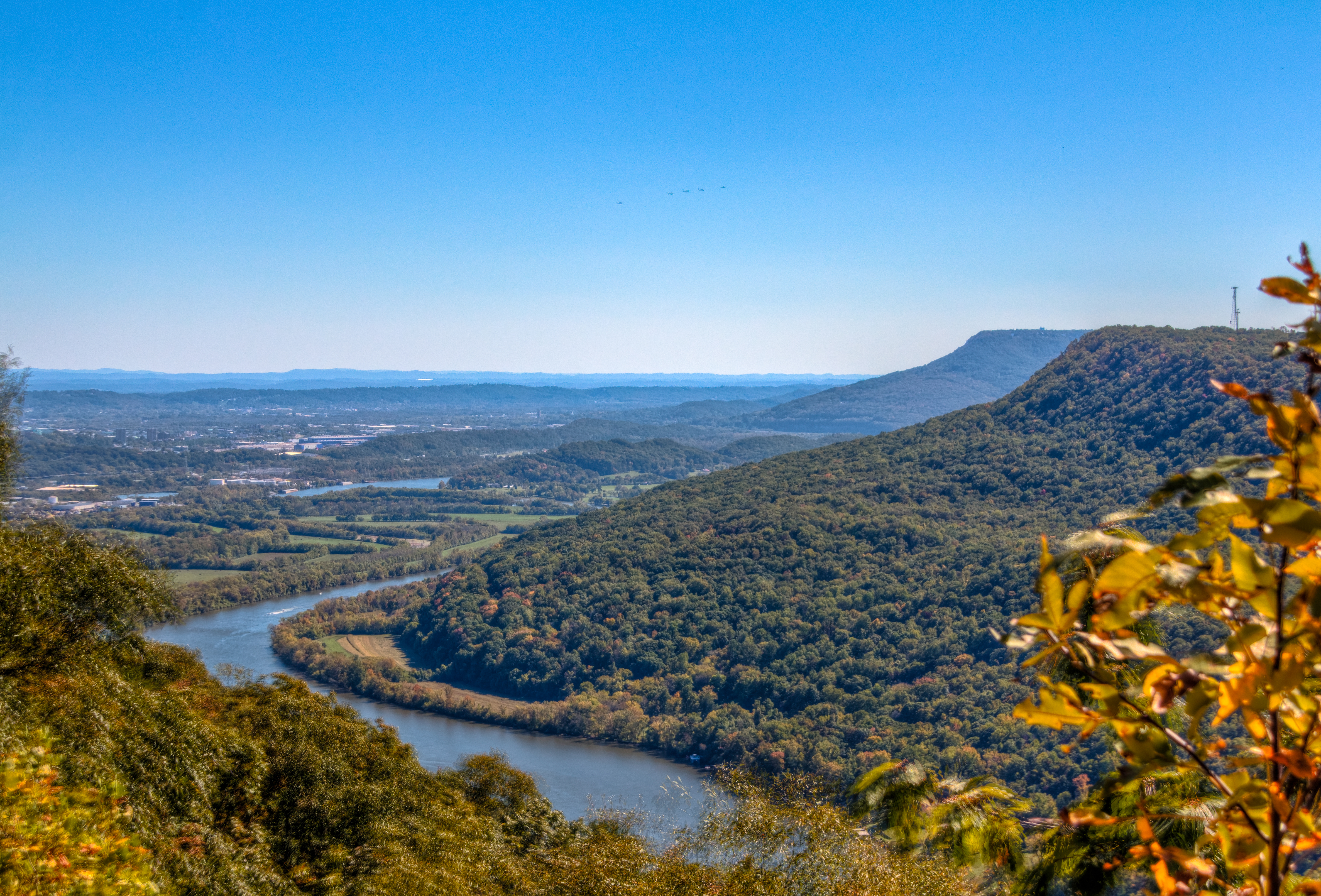
View from Signal Mtn Point Park

Cloud Ship???
WBrowSignalMtn-4
Signal Mountain, Tennessee
WBrowSignalMtn-5
The Rock
WBrowSignalMtn-1
WBrowSignalMtn-2
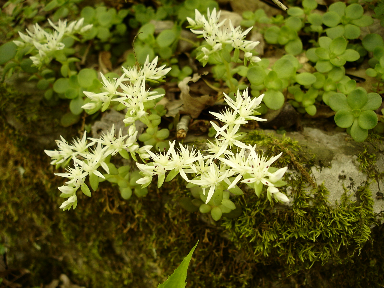
Sedum ternatum (Stonecrop) Crassulaceae
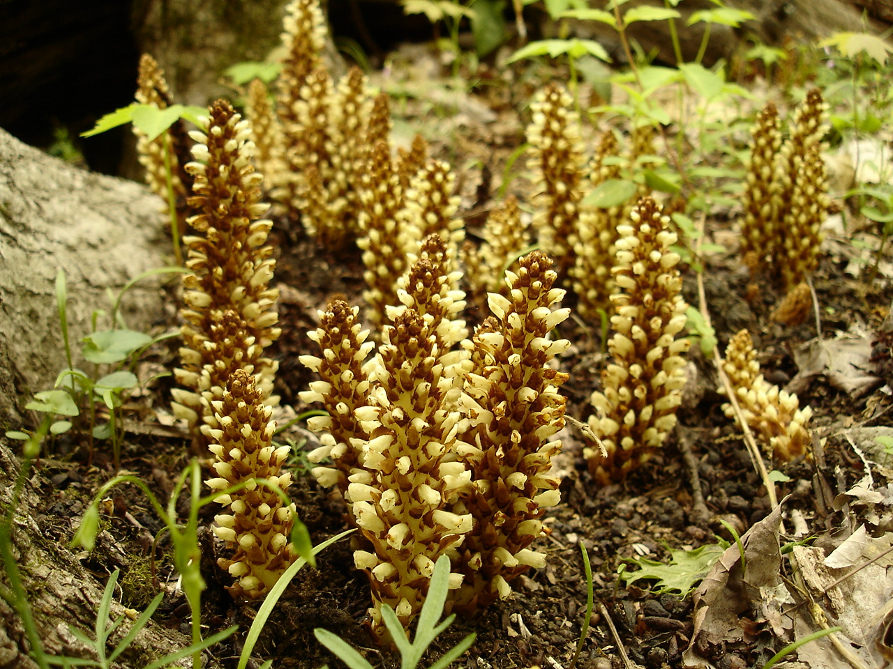
Conopholis americana (American Cancer-root) Orobanchaceae
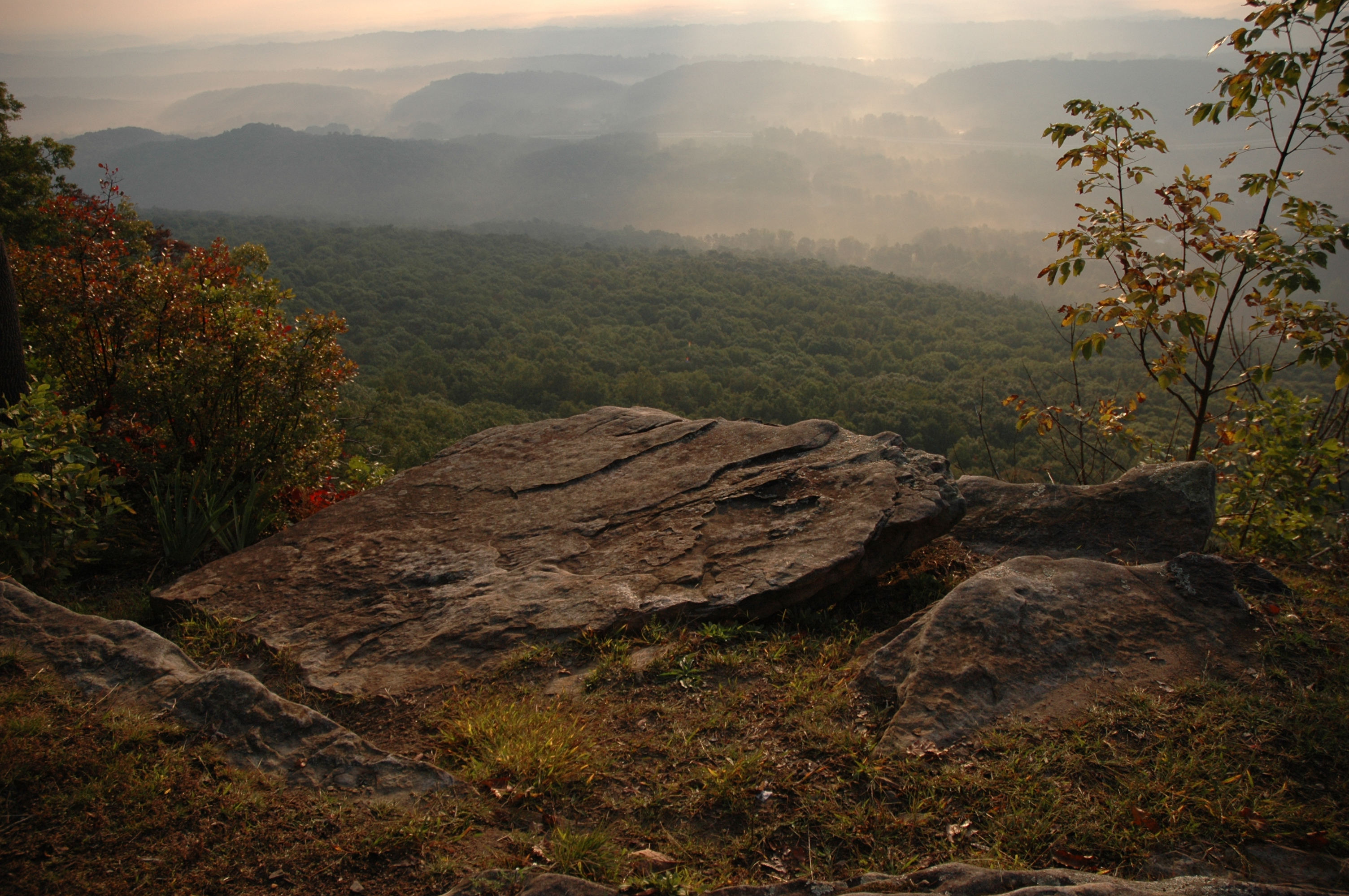
The View from Signal Mountain
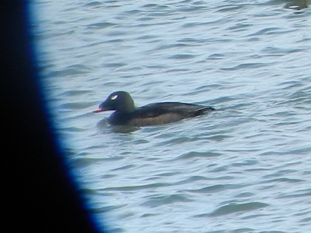
ww scoter male Chickamauga2

20171118-IMGP2498

20171118-IMGP2597

20171118-IMGP2466

Great Blue Heron

North Chickamauga Trail Segment of the Cumberland Trail

Middle Creek Bridge
Signal Mountain
North Chickamauga Trail Segment of the Cumberland Trail

Caution: Boulder

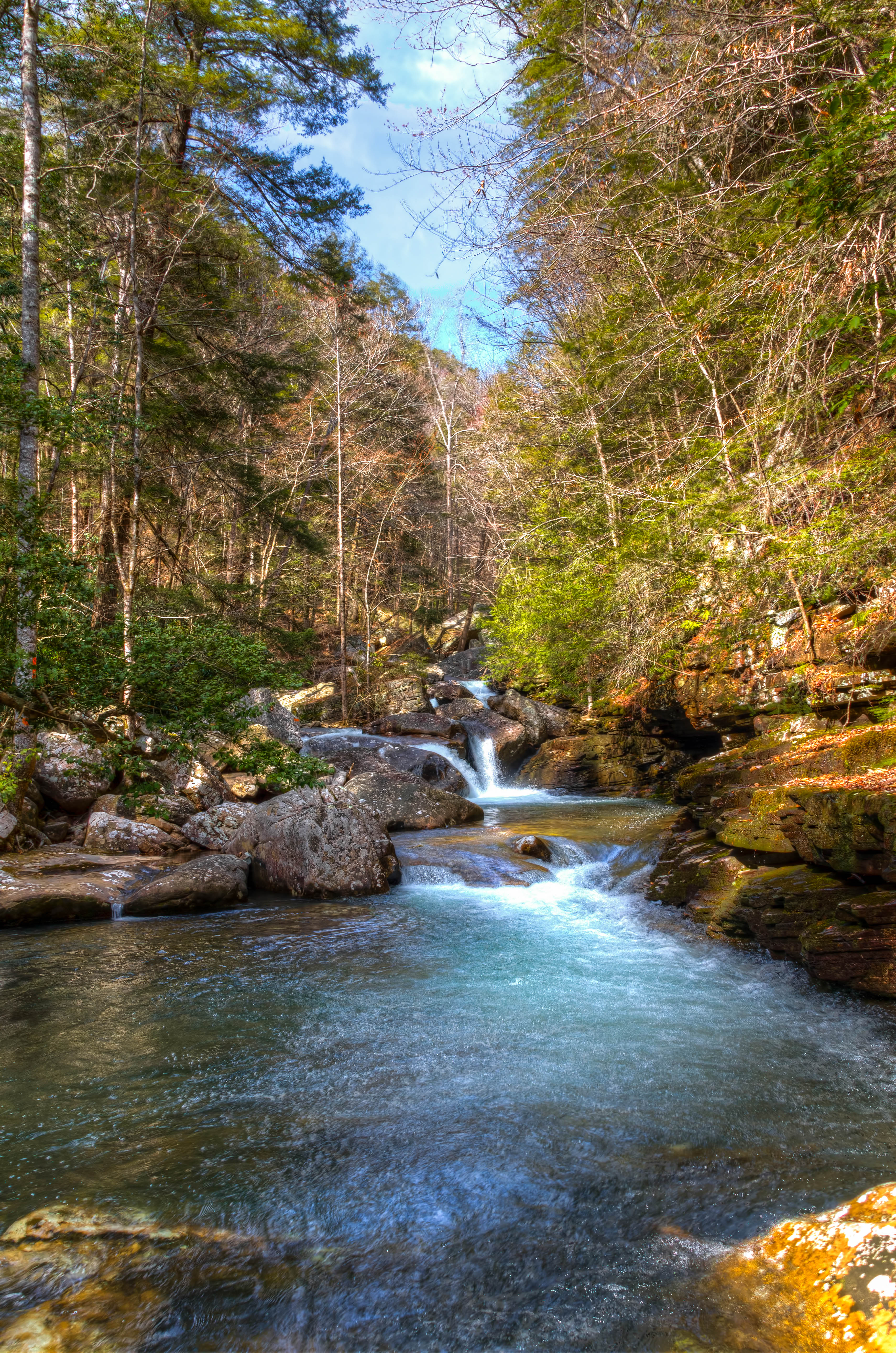
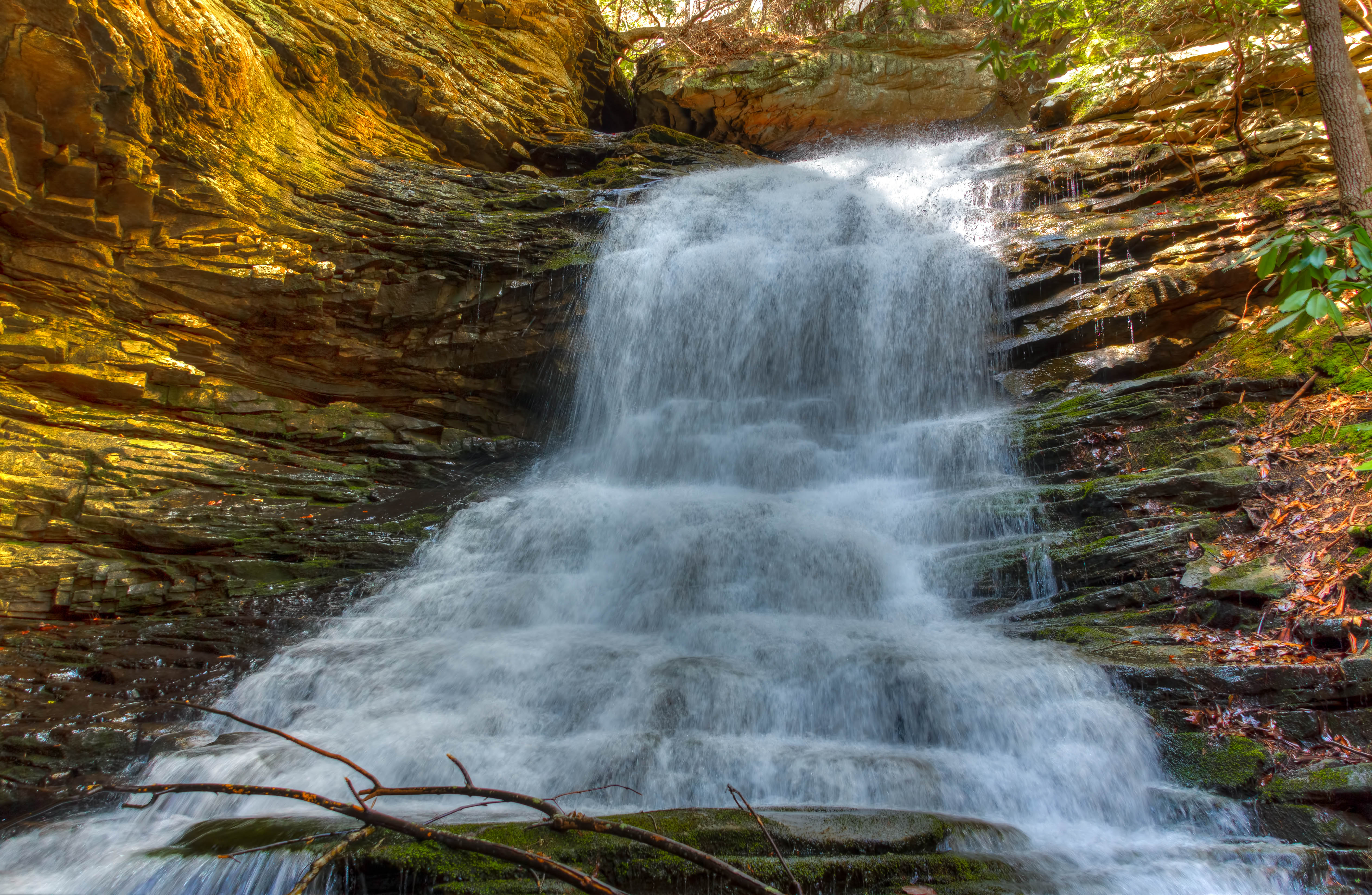
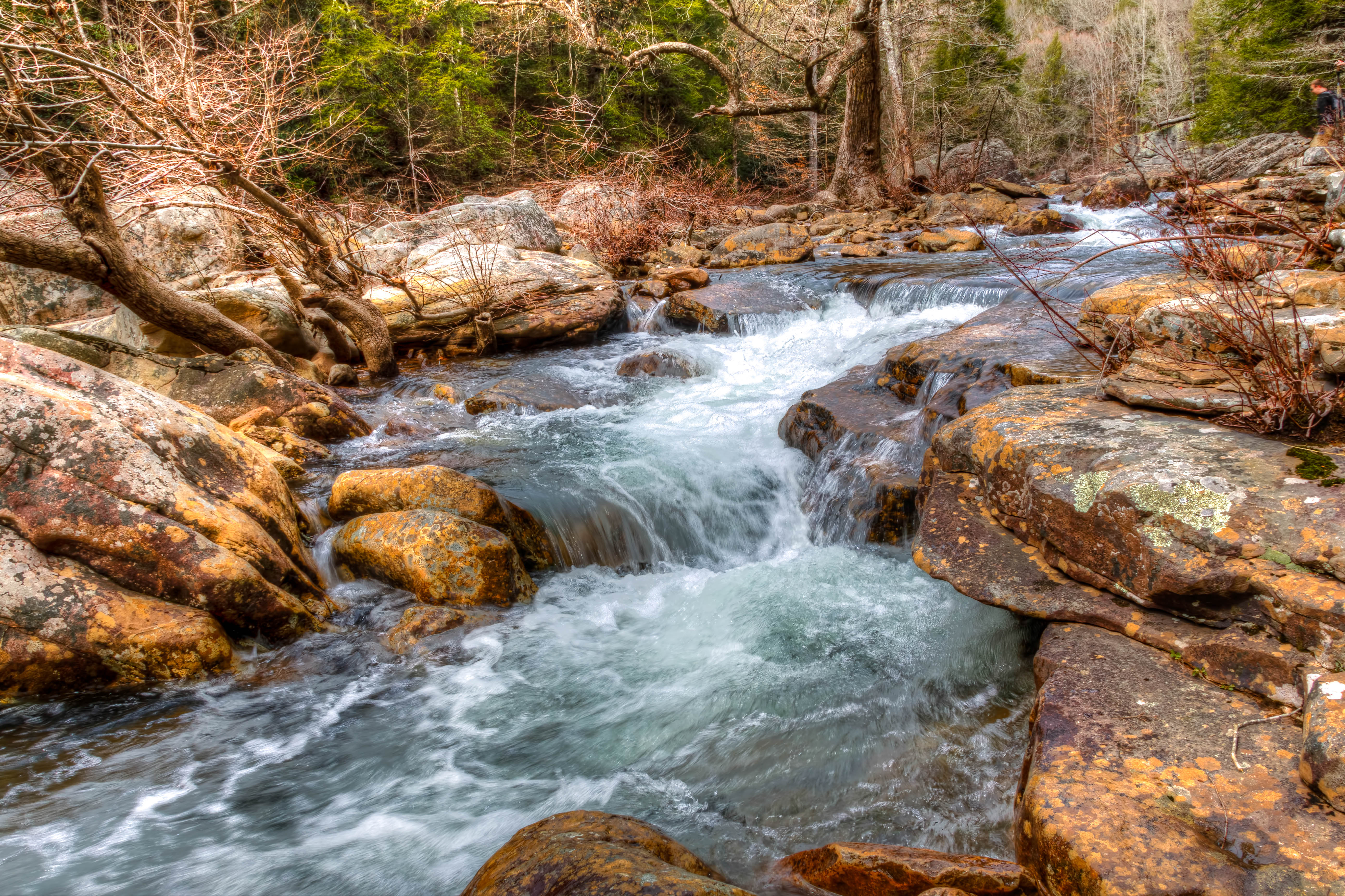
Cooper Creek Falls - North Chickamauga Trail Segment of the Cumberland Trail - February 16, 2013

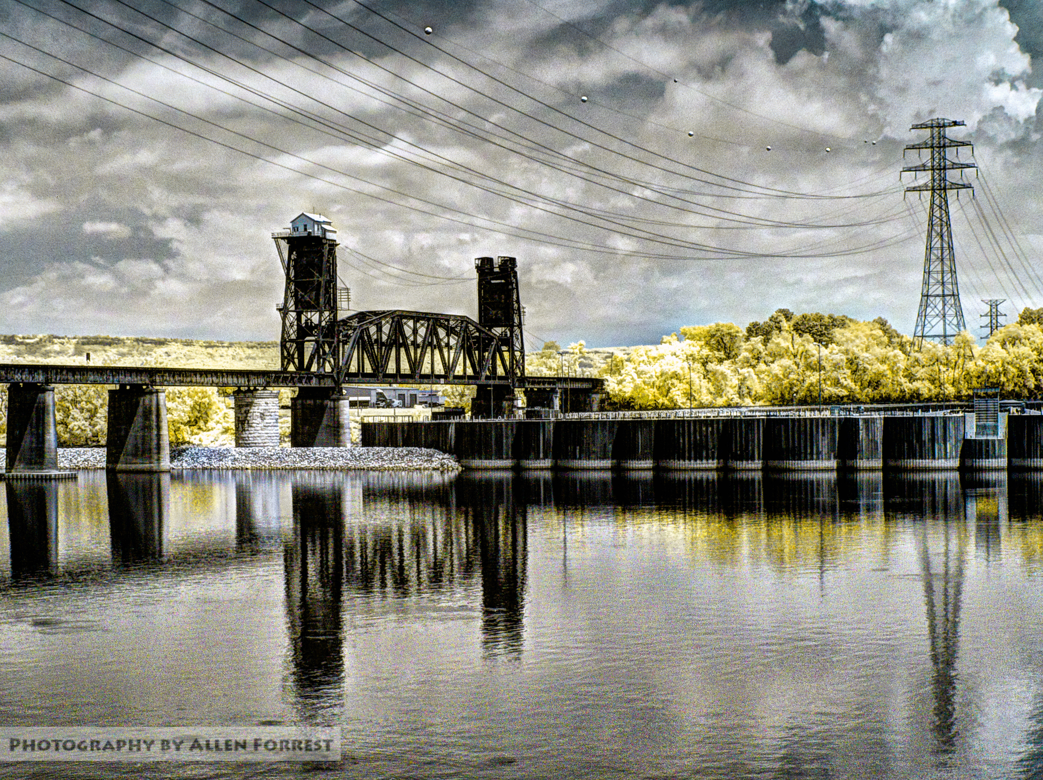
NS 123, Chattanooga, TN
North Chickamauga Trail Segment of the Cumberland Trail
North Chickamauga Trail Segment of the Cumberland Trail

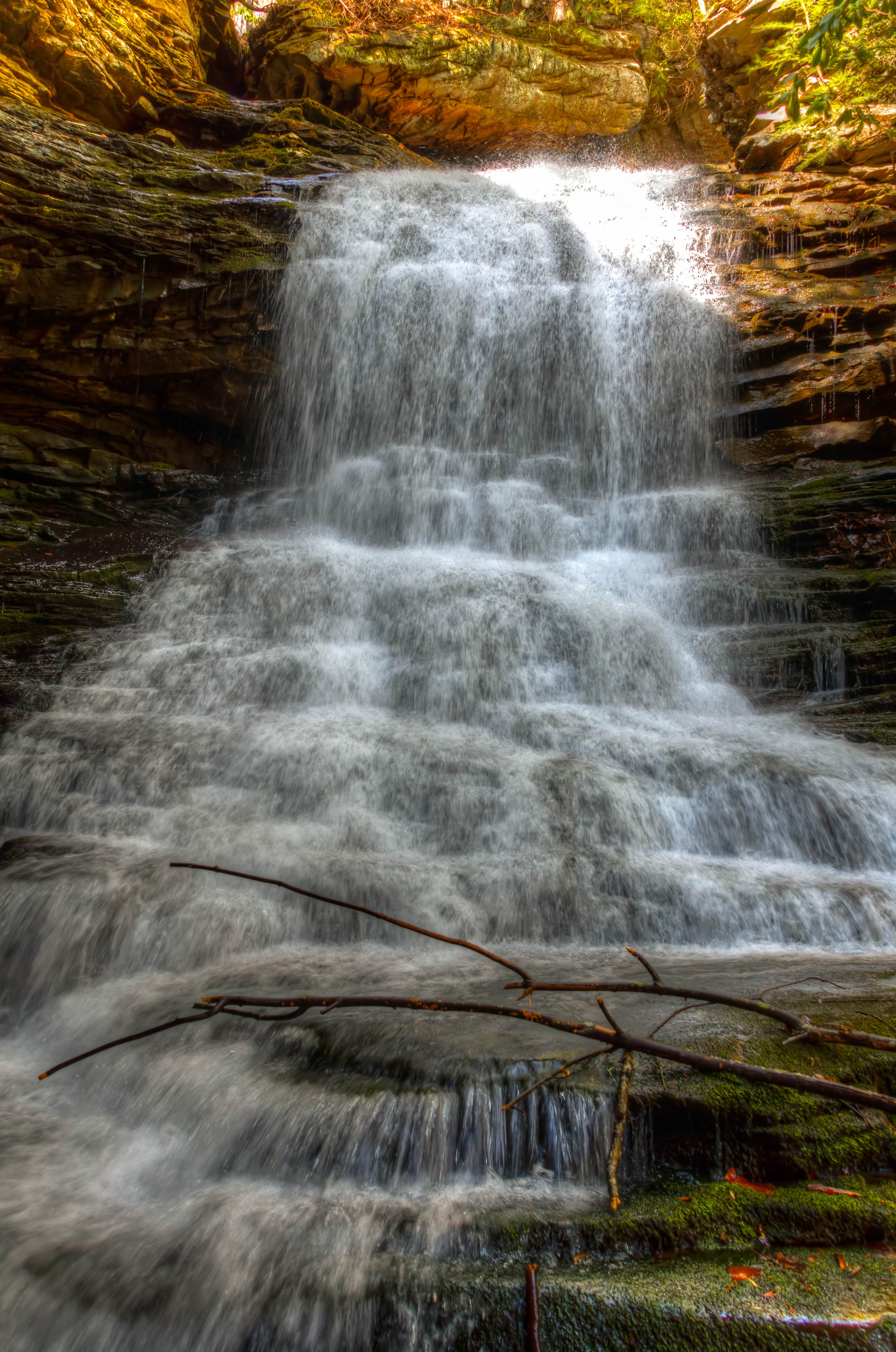
Cooper Creek Falls - North Chickamauga Trail Segment of the Cumberland Trail - February 16, 2013
North Chickamauga Trail Segment of the Cumberland Trail

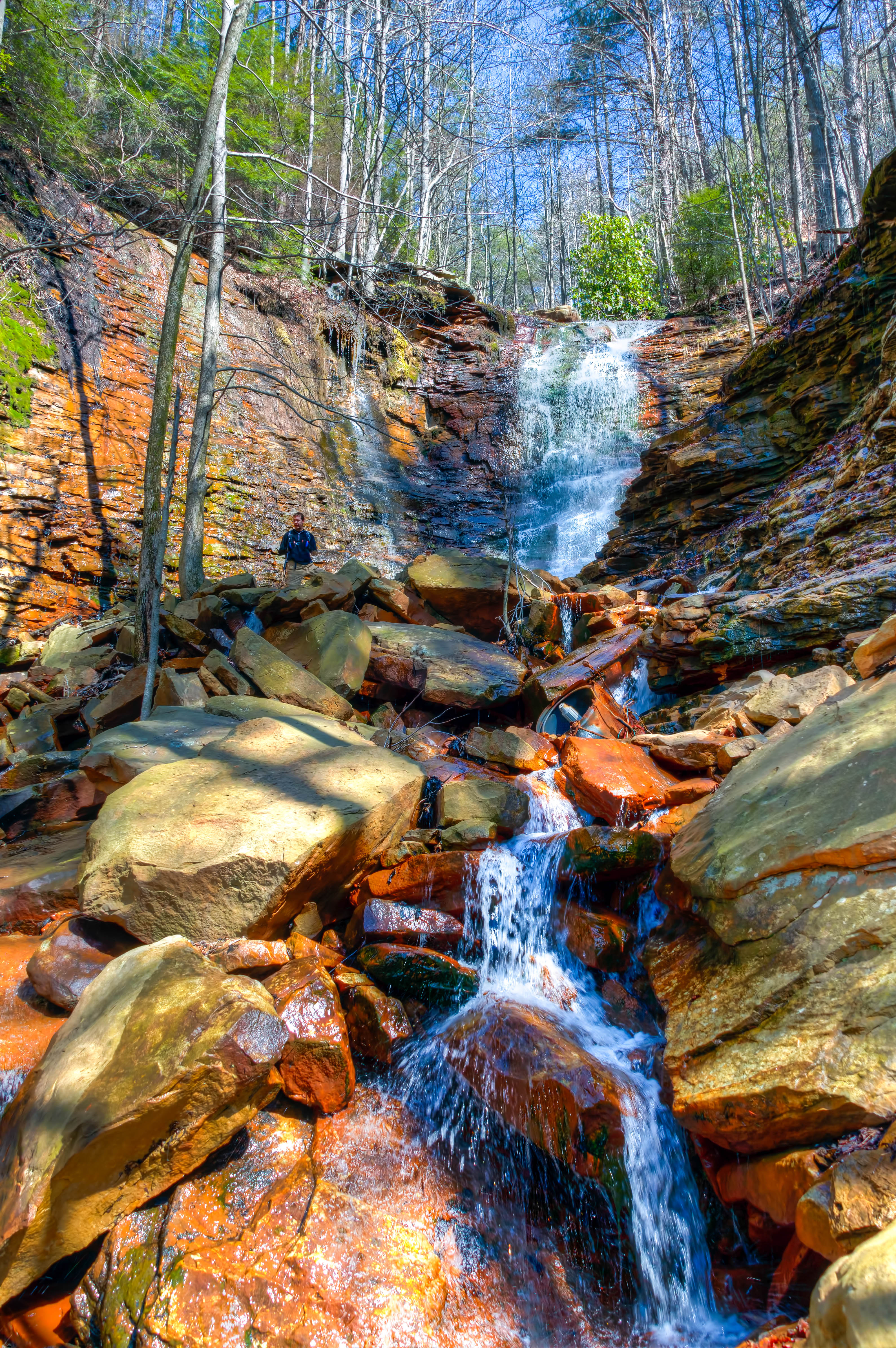
North Chickamauga Trail Segment of the Cumberland Trail - February 16, 2013
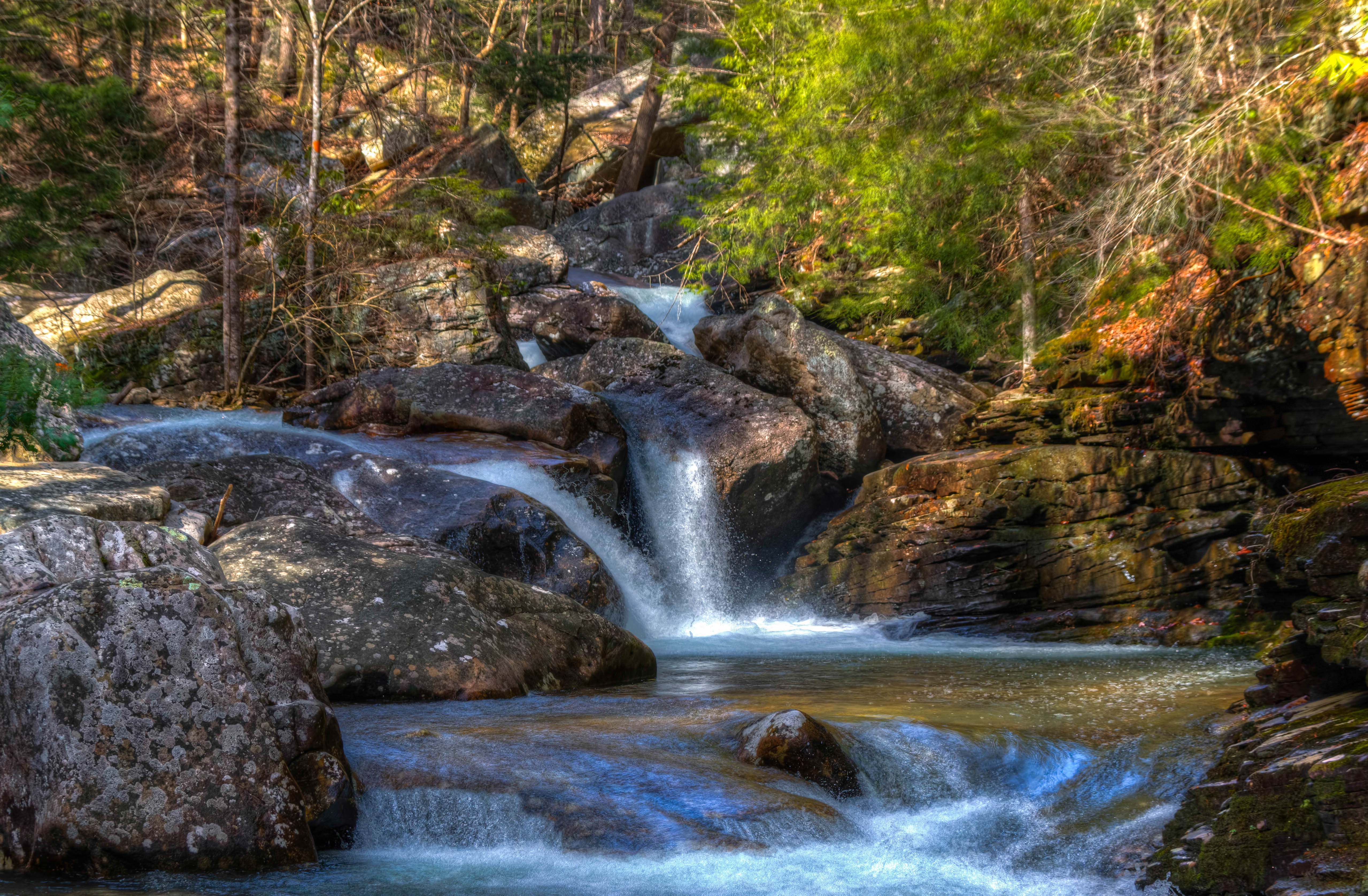
North Chickamauga Trail Segment of the Cumberland Trail
North Chickamauga Trail Segment of the Cumberland Trail
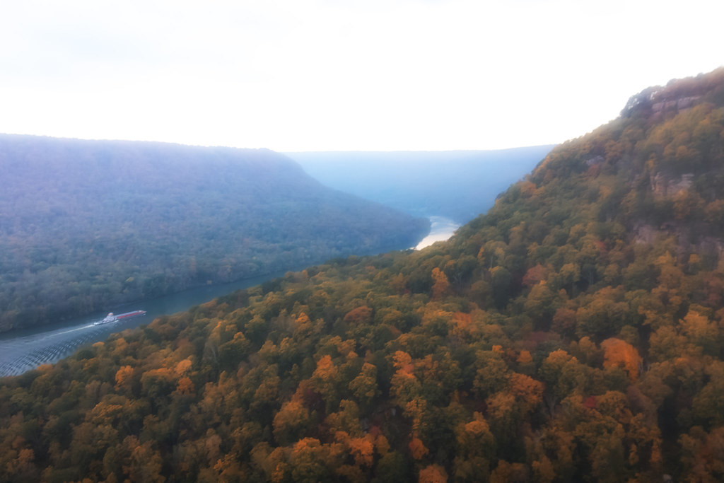
Chickamauga Dam
Topographic Map of Johnson Rd, Soddy-Daisy, TN, USA
Find elevation by address:

Places near Johnson Rd, Soddy-Daisy, TN, USA:
7714 Selcer Rd
Roberts Mill Rd, Hixson, TN, USA
Falling Water Road
8618 Brow Lake Rd
1001 Montlake Rd
8704 Brow Lake Rd
1001 Montlake Rd
Rockdale Ln, Hixson, TN, USA
1453 Roberts Mill Rd
911 Rose Marie Ct
8818 Terrace Falls Dr
687 Boy Scout Rd
Terrace Falls Drive
Montlake
444 Sevier St
919 Sandstone Terrace
McCormack Dr, Hixson, TN, USA
1510 Laurel Breeze Ln
8620 Brookplace Dr
816 Brook Run Dr
Recent Searches:
- Elevation of 15th Ave SE, St. Petersburg, FL, USA
- Elevation of Beall Road, Beall Rd, Florida, USA
- Elevation of Leguwa, Nepal
- Elevation of County Rd, Enterprise, AL, USA
- Elevation of Kolchuginsky District, Vladimir Oblast, Russia
- Elevation of Shustino, Vladimir Oblast, Russia
- Elevation of Lampiasi St, Sarasota, FL, USA
- Elevation of Elwyn Dr, Roanoke Rapids, NC, USA
- Elevation of Congressional Dr, Stevensville, MD, USA
- Elevation of Bellview Rd, McLean, VA, USA