Elevation of Montlake Rd, Soddy-Daisy, TN, USA
Location: United States > Tennessee > Hamilton County > Soddy-daisy > Montlake >
Longitude: -85.227181
Latitude: 35.240322
Elevation: 502m / 1647feet
Barometric Pressure: 95KPa
Elevation Map:
Satellite Map:
Related Photos:

~Sunset Fishing~

Western Grebe
Sometimes you get the best views once the leaves have fallen ???????? #chatt #chattanooga #noog #nooga #noogagram #nashvilleexplorersclub #mountains #moretoexplore #letscamp #livelocallytn #onlytennisee #outside #outdoors #instagramtennes

Calycanthus floridus (Sweetshrub, Carolina Allspice) Calycanthaceae
WBrowSignalMtn-4

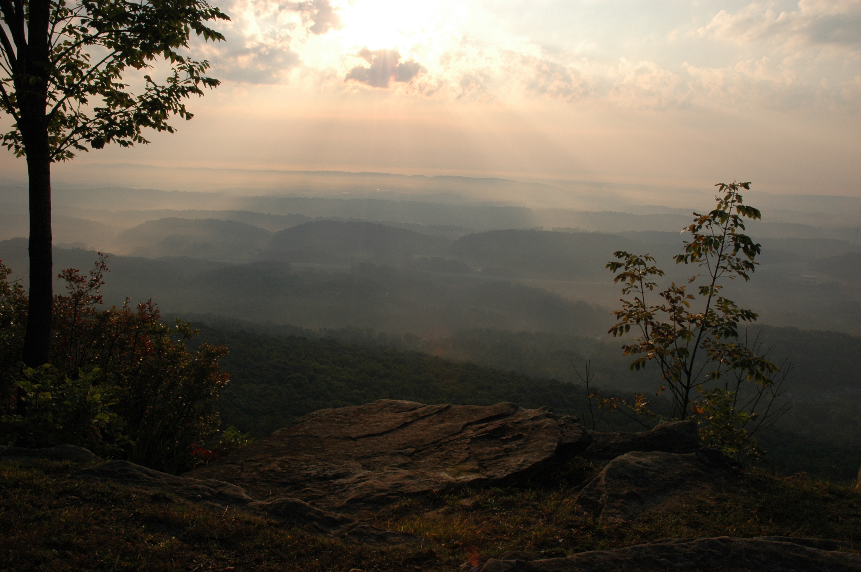
Lake view
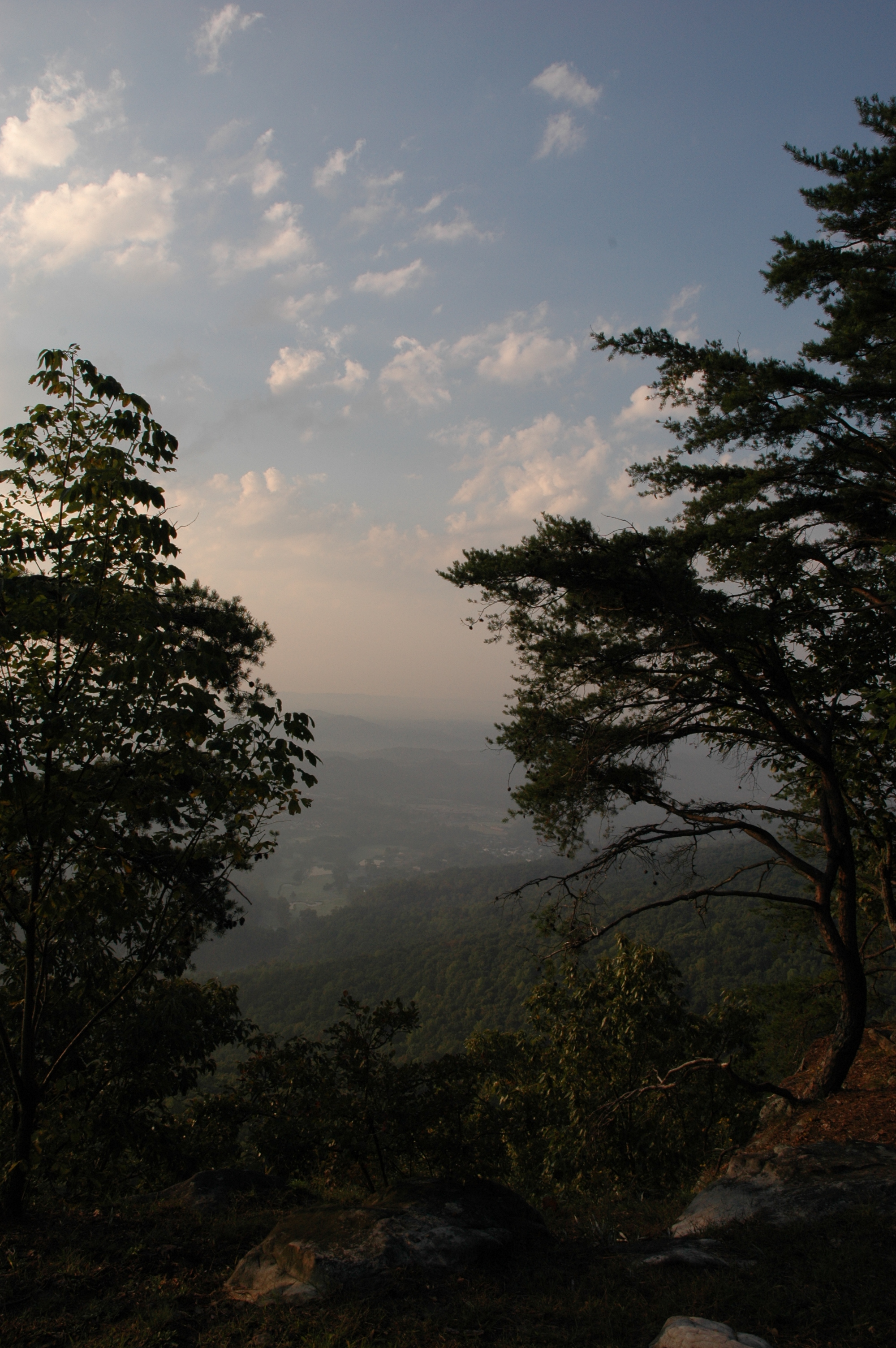
WBrowSignalMtn-2
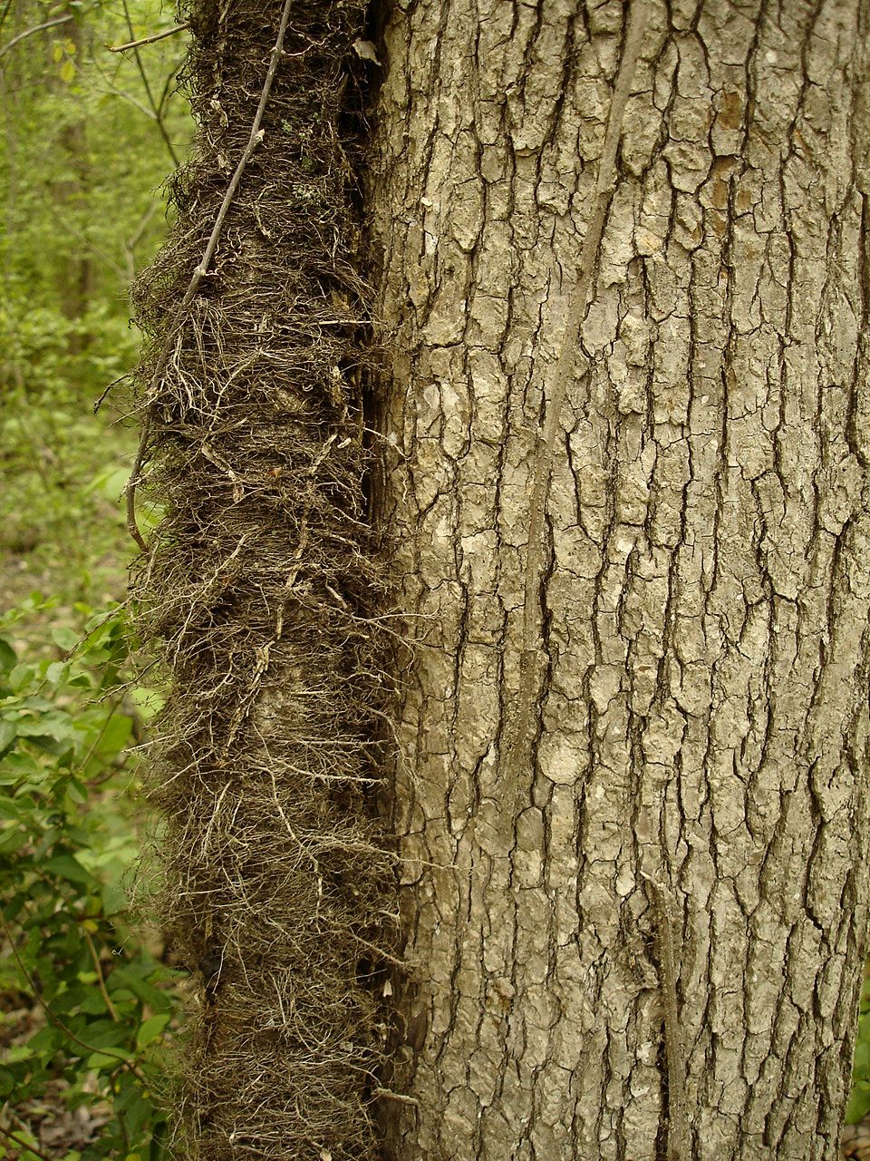
Toxicodendron radicans (Poison Ivy) Anacardiaceae

Must be an interesting place to work. I bet it has a good view.

Common Loon

Falling Water Presbyterian Church
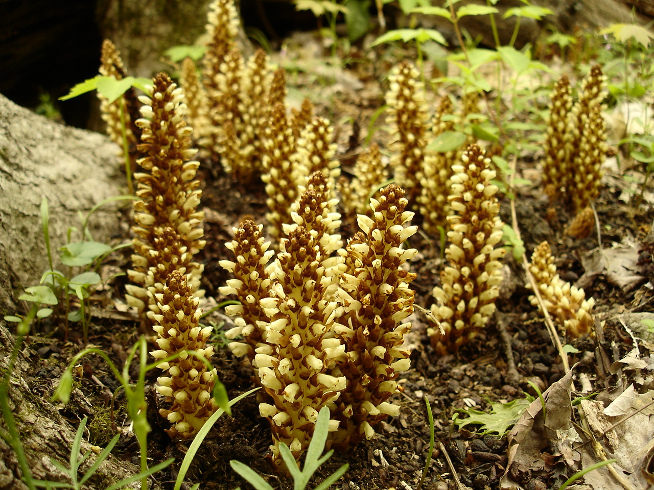
Conopholis americana (American Cancer-root) Orobanchaceae
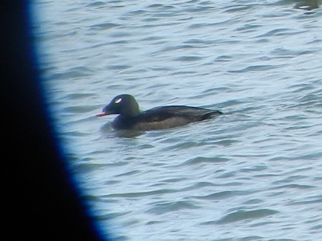
ww scoter male Chickamauga2

Halesia tetraptera (Silverbell) Styracaceae

Toxicodendron radicans (Poison Ivy) Anacardiaceae

grandmom Eleanor's stereo slides
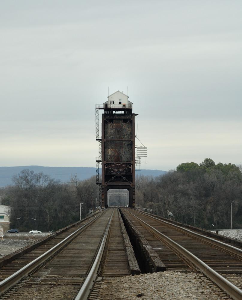
Chickamauga Bridge

@xpectopatronum on the hang gliding ramp. #babe #model #portrait #tennessee #view #sequatchievalley
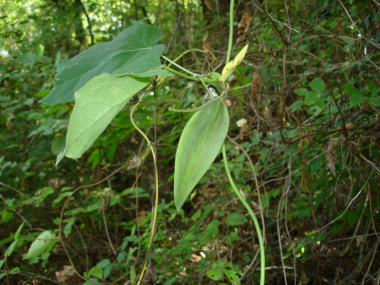
Matelea gonocarpos (Anglepod, Milkvine) Asclepiadaceae

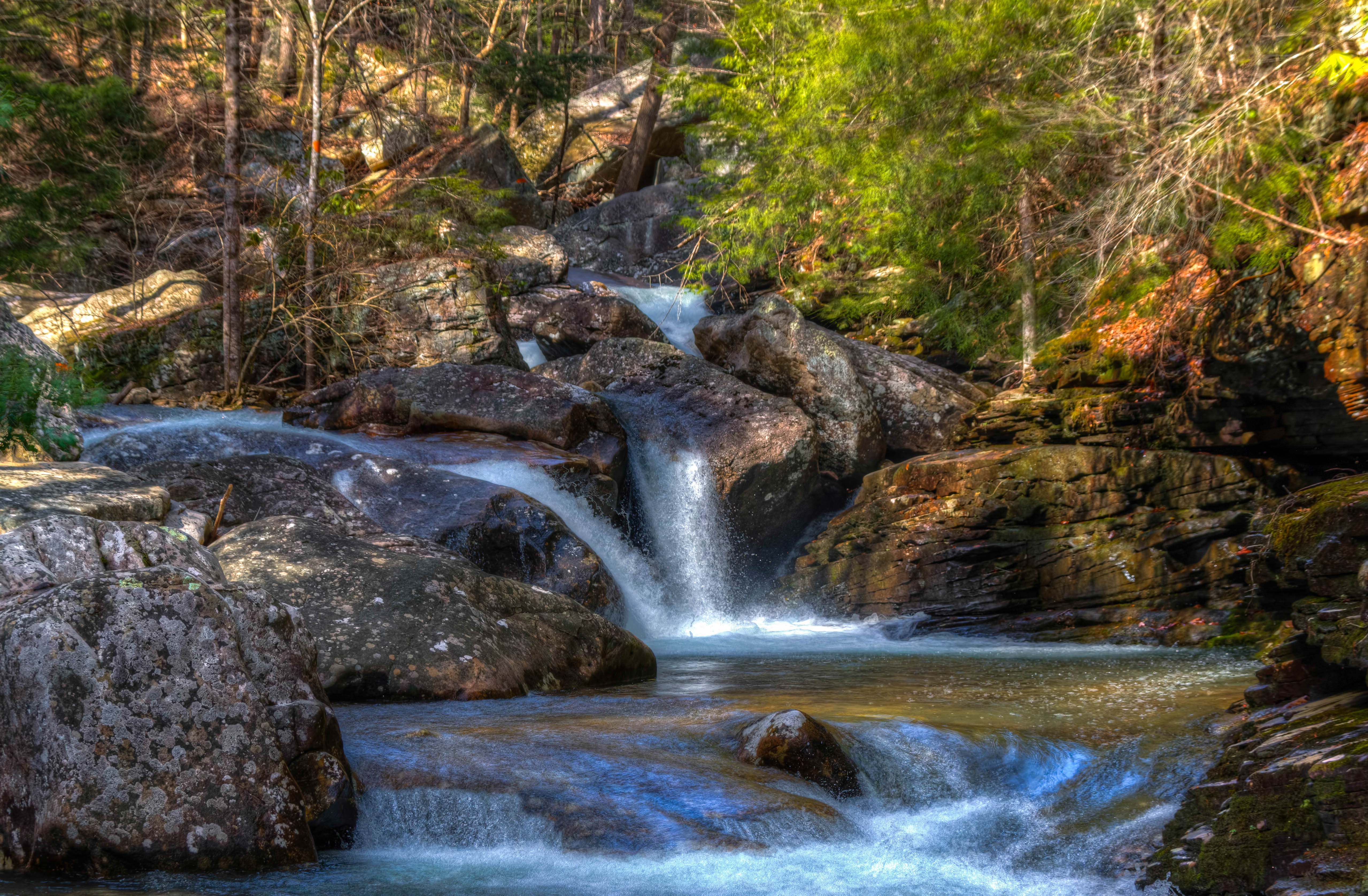
Hogskin Branch
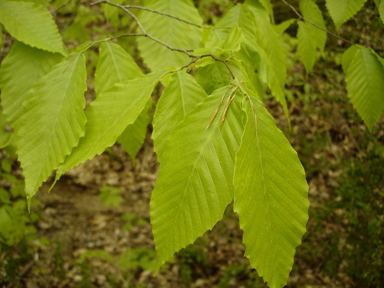
Fagus grandifolia (American Beech) Fagaceae

Caution: Boulder
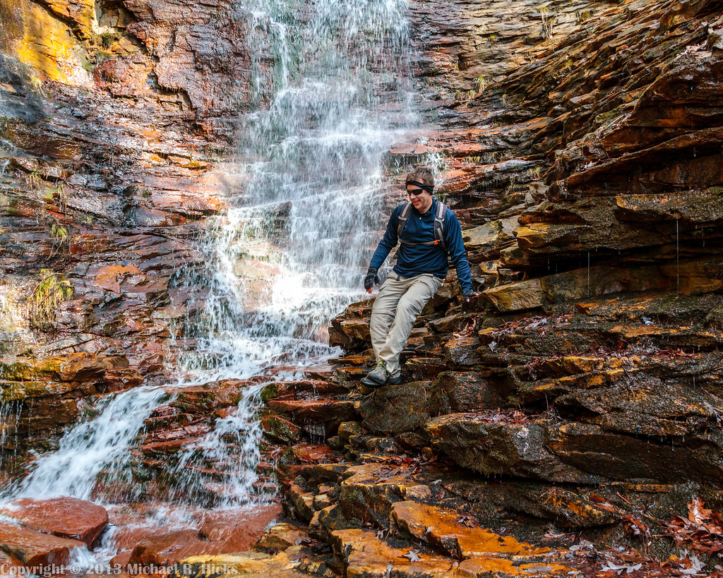
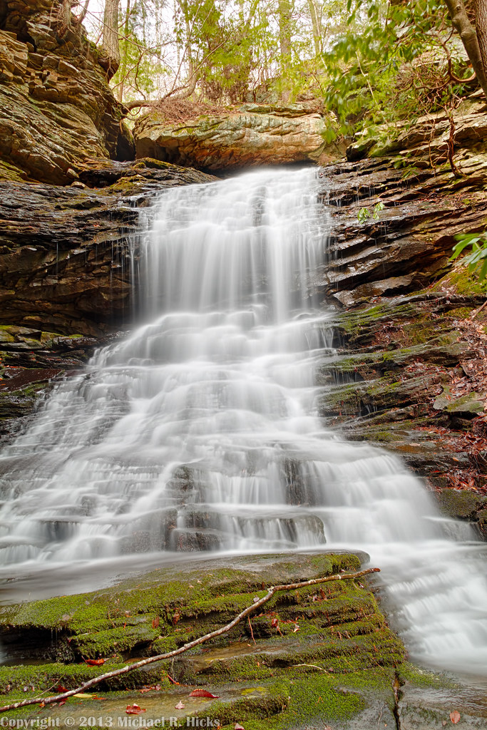
Imodium Falls (Little Possum Creek Falls) - Possum Creek Gorge Section of the Cumberland Trail

NS 123, Chattanooga, TN
North Chickamauga Trail Segment of the Cumberland Trail
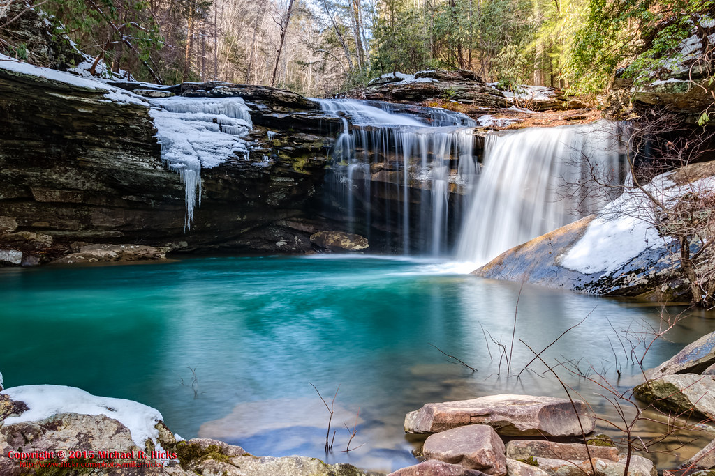
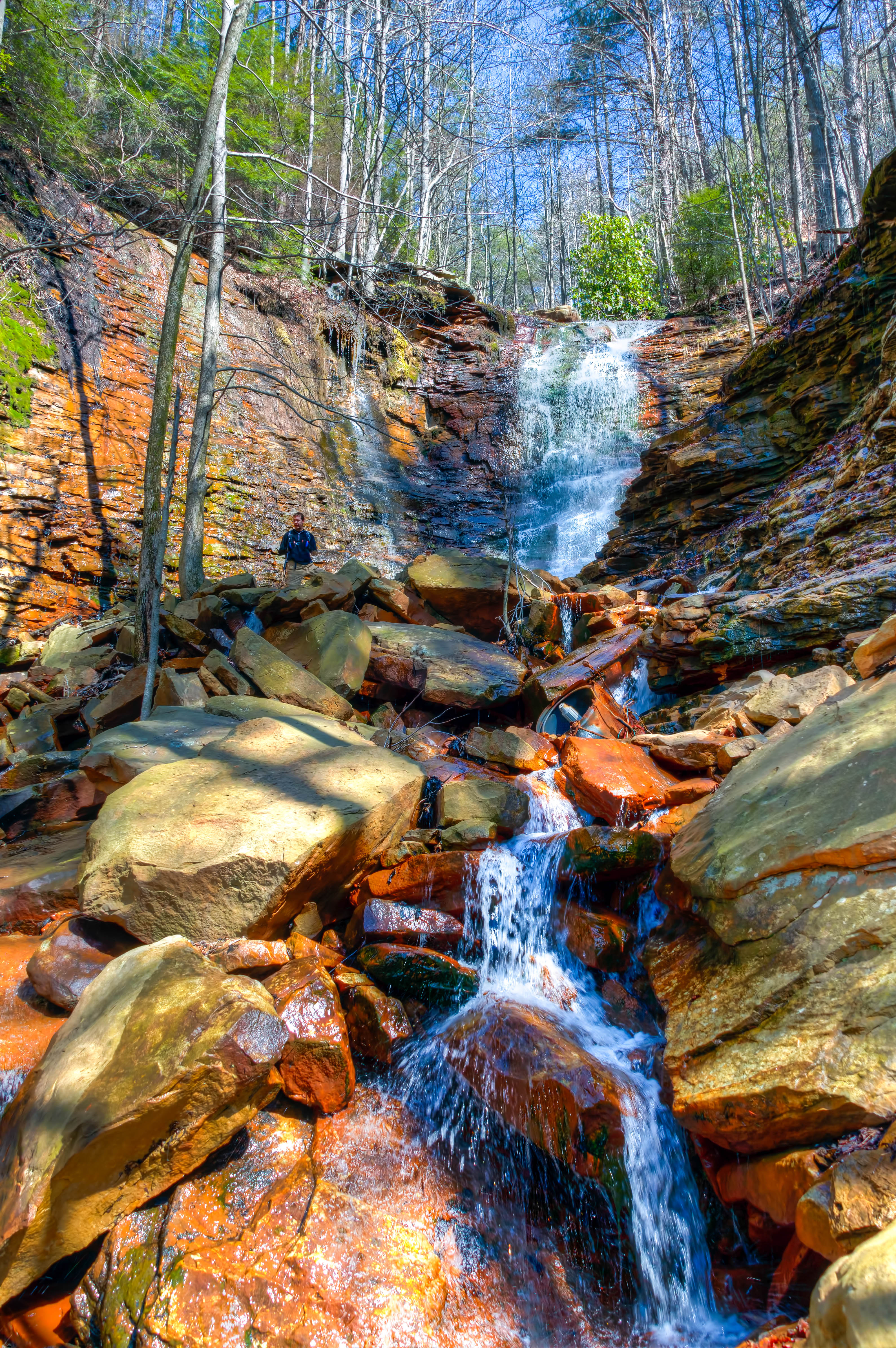
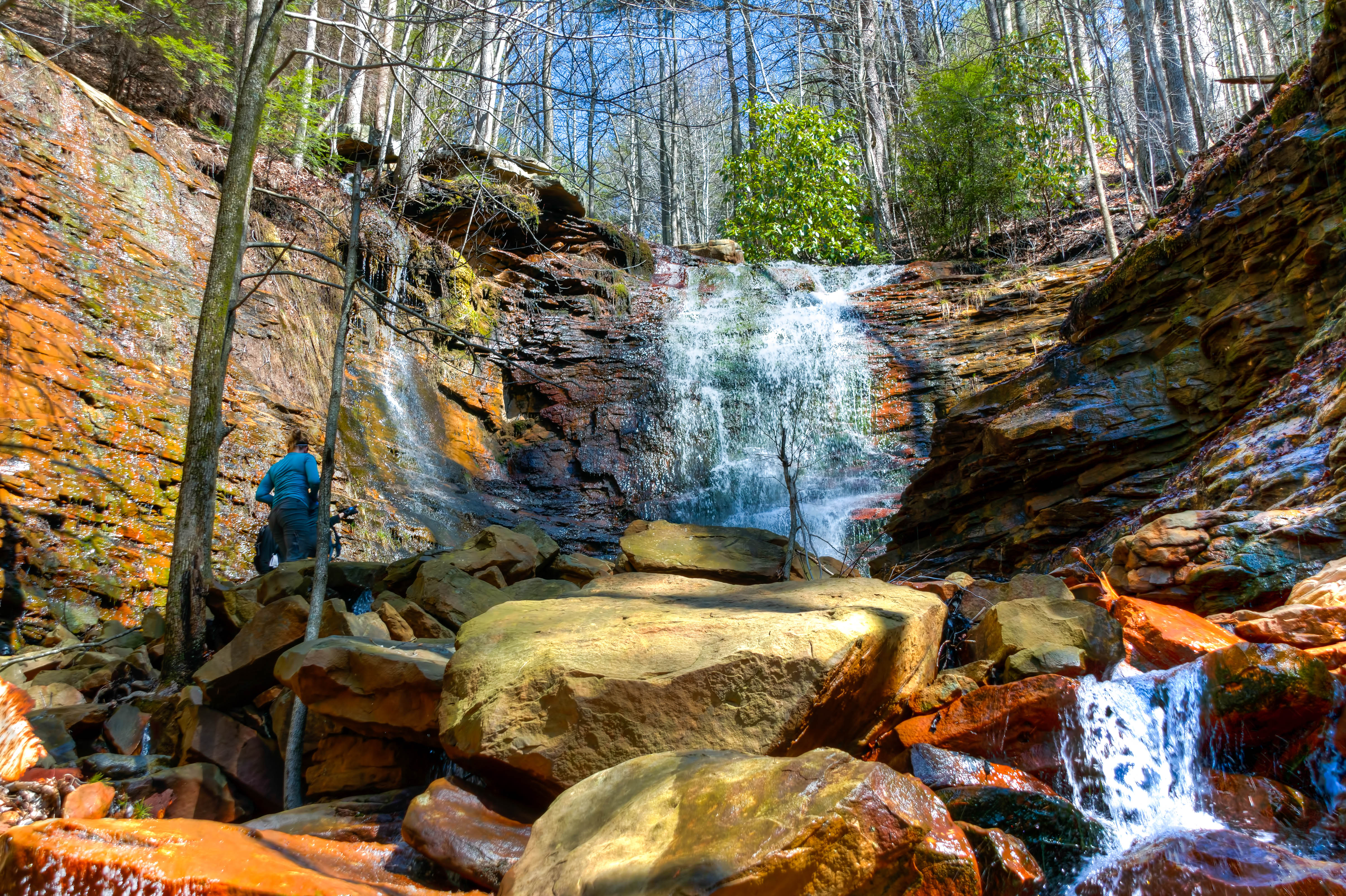
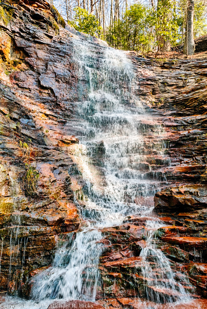
Stripmine Falls - North Chickamauga Trail Segment of the Cumberland Trail - February 16, 2013
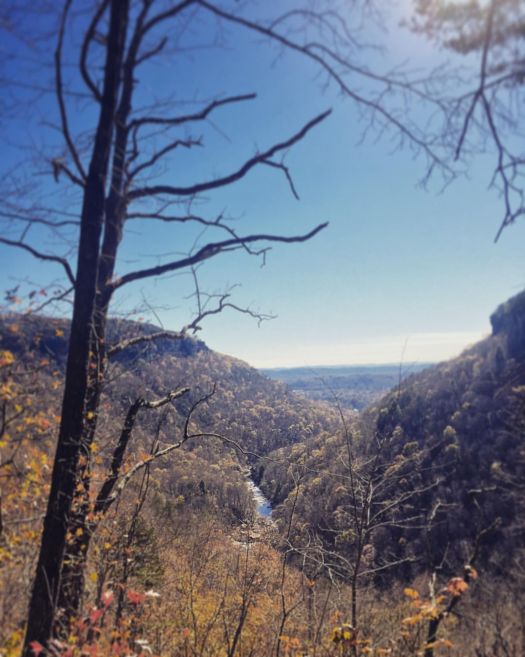
Fall is in full force. ????????????????#exploreTN #exploremore #explore #rei #rei1440project #RedefineTheOutdoors #tn #tnwild #tennessee #ighikers #igerstennessee #instagramtennessee #outside #outdoors #OutdoorsUSA #onlyt
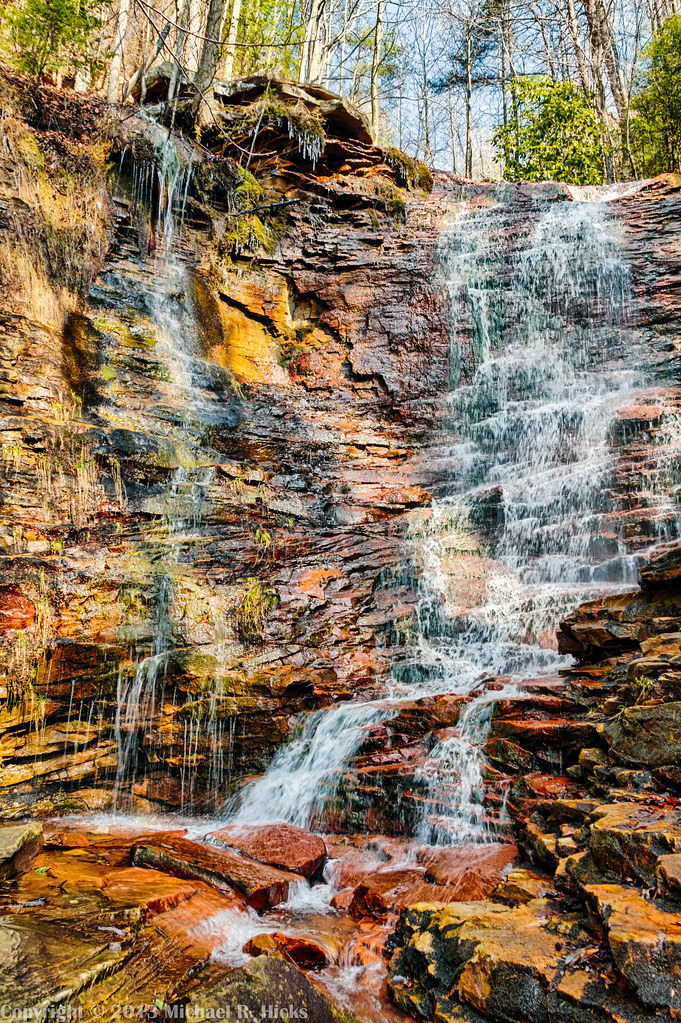
Stripmine Falls - North Chickamauga Trail Segment of the Cumberland Trail - February 16, 2013
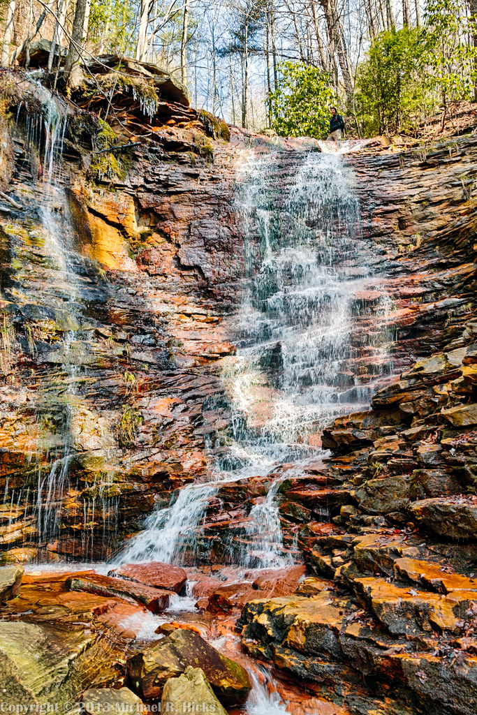
Stripmine Falls - North Chickamauga Trail Segment of the Cumberland Trail - February 16, 2013
North Chickamauga Trail Segment of the Cumberland Trail - February 16, 2013

Great Blue Heron

River Mist
North Chickamauga Trail Segment of the Cumberland Trail
North Chickamauga Trail Segment of the Cumberland Trail

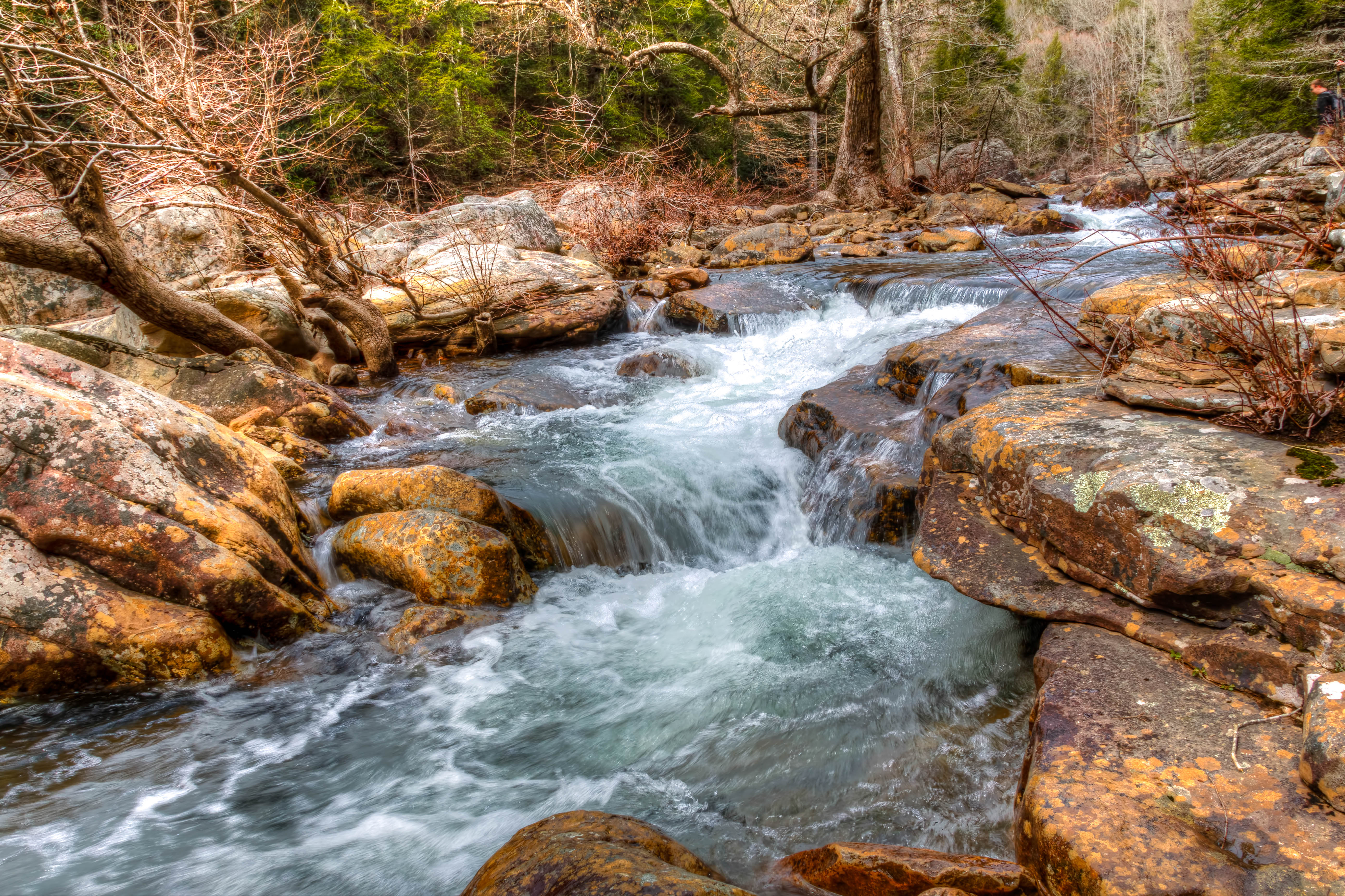
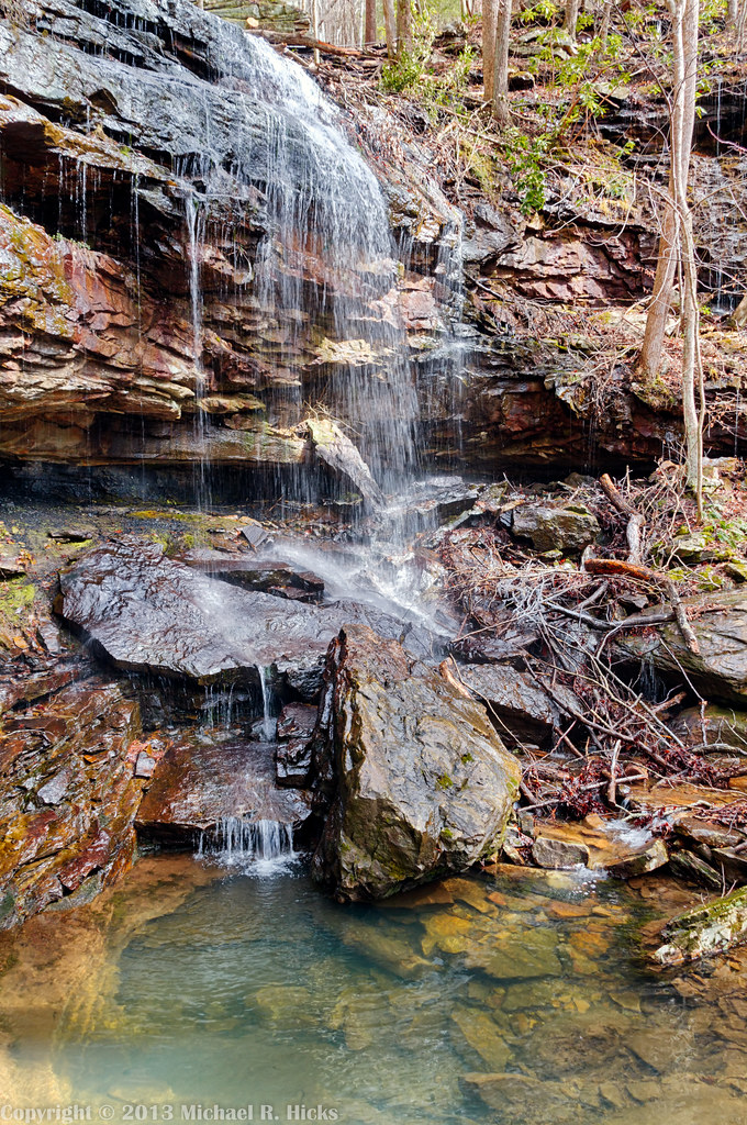
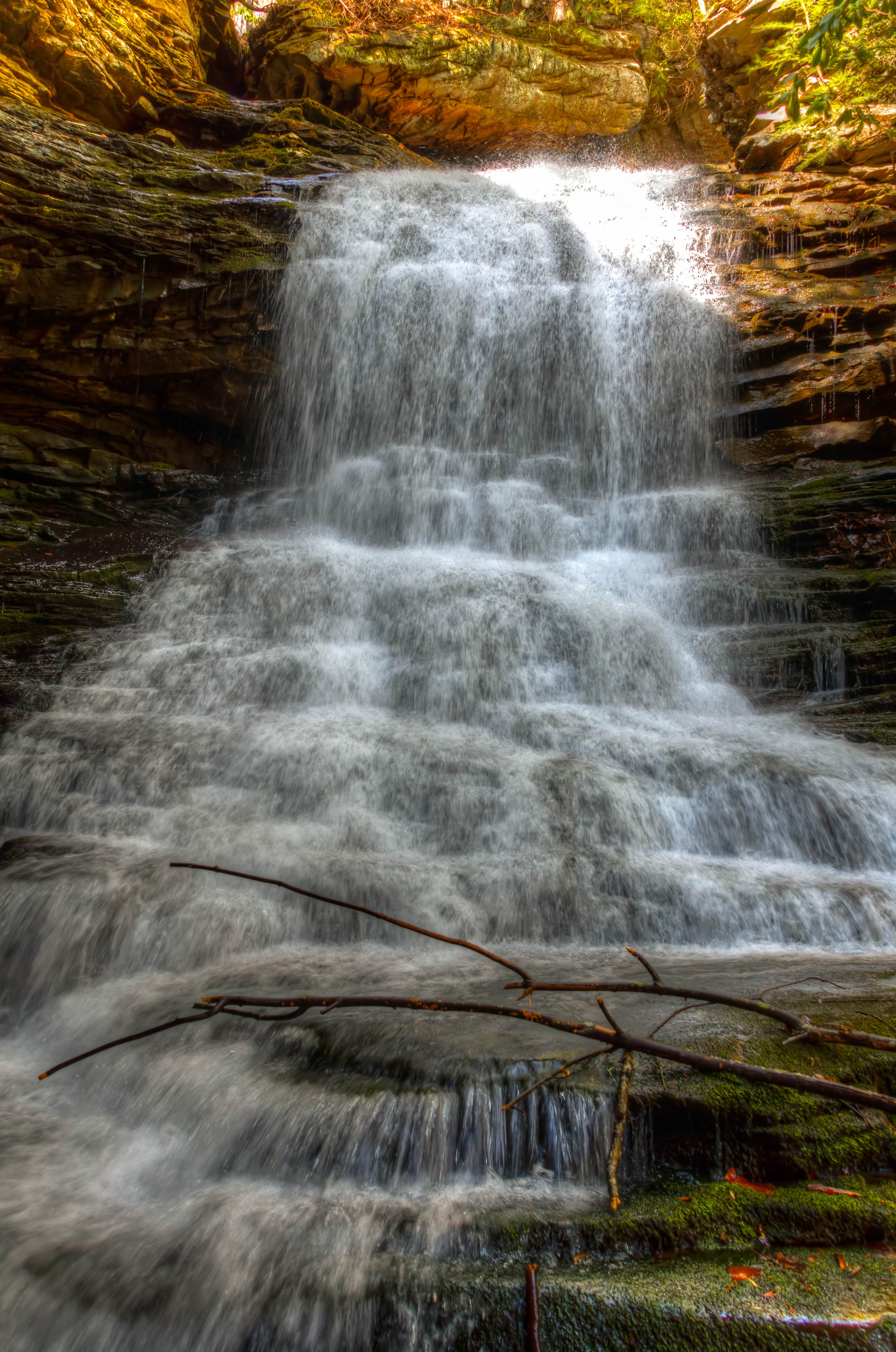
Cooper Creek Falls - North Chickamauga Trail Segment of the Cumberland Trail - February 16, 2013

North Chickamauga Trail Segment of the Cumberland Trail - February 16, 2013
Cooper Creek Falls - North Chickamauga Trail Segment of the Cumberland Trail - February 16, 2013
North Chickamauga Trail Segment of the Cumberland Trail

Chickamauga Dam
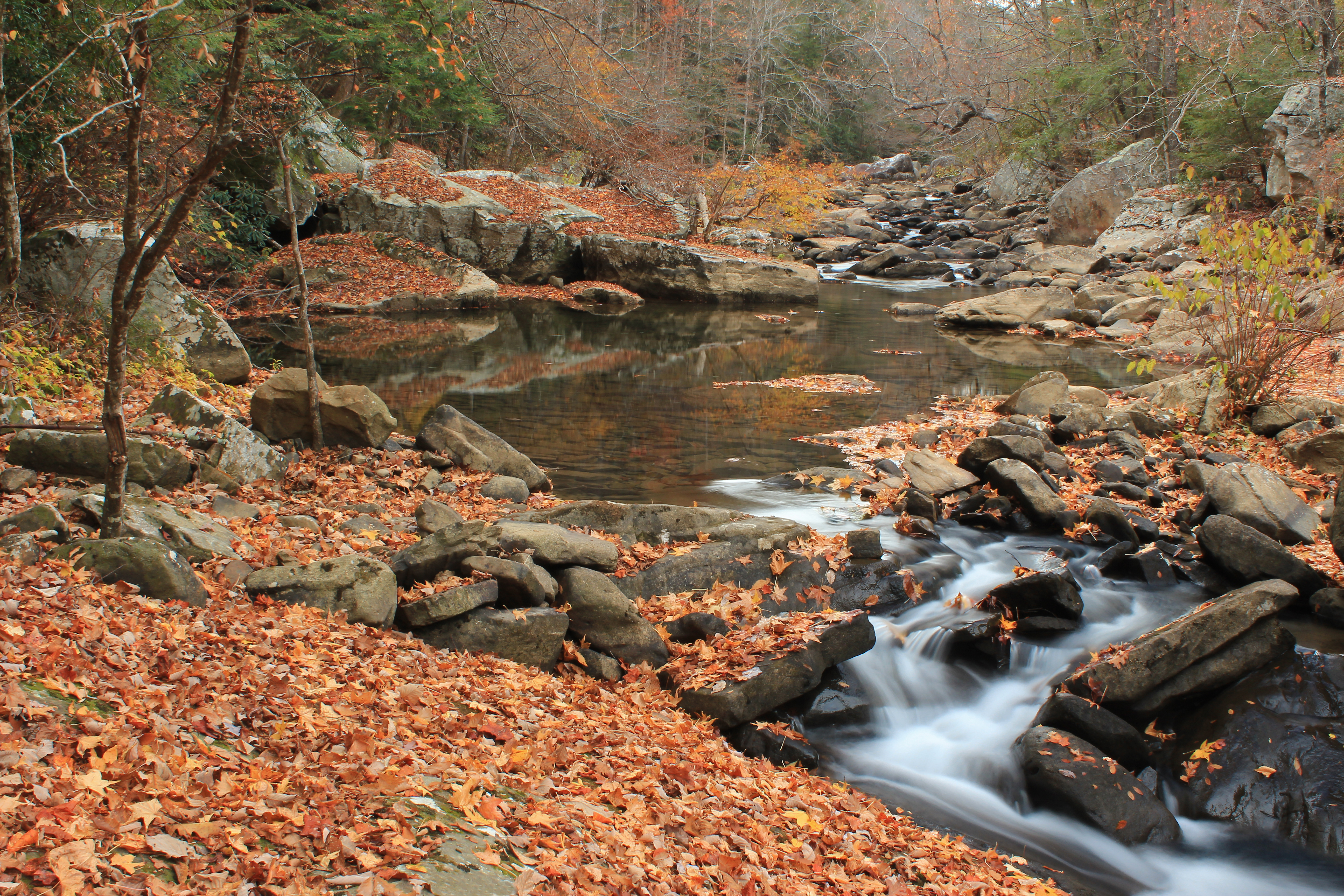
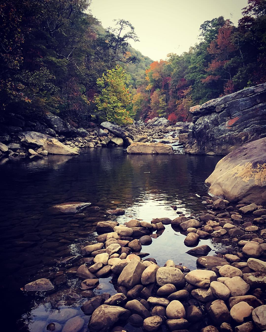
Soddy Creek, Cumberland Trail State Park, Hamilton County, Tennessee 1
North Chickamauga Trail Segment of the Cumberland Trail
Stripmine Falls - North Chickamauga Trail Segment of the Cumberland Trail - February 16, 2013
Topographic Map of Montlake Rd, Soddy-Daisy, TN, USA
Find elevation by address:

Places near Montlake Rd, Soddy-Daisy, TN, USA:
1001 Montlake Rd
8618 Brow Lake Rd
8704 Brow Lake Rd
Montlake
911 Rose Marie Ct
8818 Terrace Falls Dr
919 Sandstone Terrace
Terrace Falls Drive
9700 Millsaps Coal Rd
Montlake Rd, Soddy-Daisy, TN, USA
428 Mowbray Pike
205 Johnson Rd
Hamilton Avenue
2300 Little Bend Rd
2216 Poe Rd
Soddy-daisy
2318 Little Bend Rd
7714 Selcer Rd
Little Bend Road
Dayton Pike, Soddy-Daisy, TN, USA
Recent Searches:
- Elevation of Beall Road, Beall Rd, Florida, USA
- Elevation of Leguwa, Nepal
- Elevation of County Rd, Enterprise, AL, USA
- Elevation of Kolchuginsky District, Vladimir Oblast, Russia
- Elevation of Shustino, Vladimir Oblast, Russia
- Elevation of Lampiasi St, Sarasota, FL, USA
- Elevation of Elwyn Dr, Roanoke Rapids, NC, USA
- Elevation of Congressional Dr, Stevensville, MD, USA
- Elevation of Bellview Rd, McLean, VA, USA
- Elevation of Stage Island Rd, Chatham, MA, USA