Elevation of Dayton Pike, Soddy-Daisy, TN, USA
Location: United States > Tennessee > Hamilton County > Soddy-daisy >
Longitude: -85.186339
Latitude: 35.2478
Elevation: 223m / 732feet
Barometric Pressure: 99KPa
Elevation Map:
Satellite Map:
Related Photos:
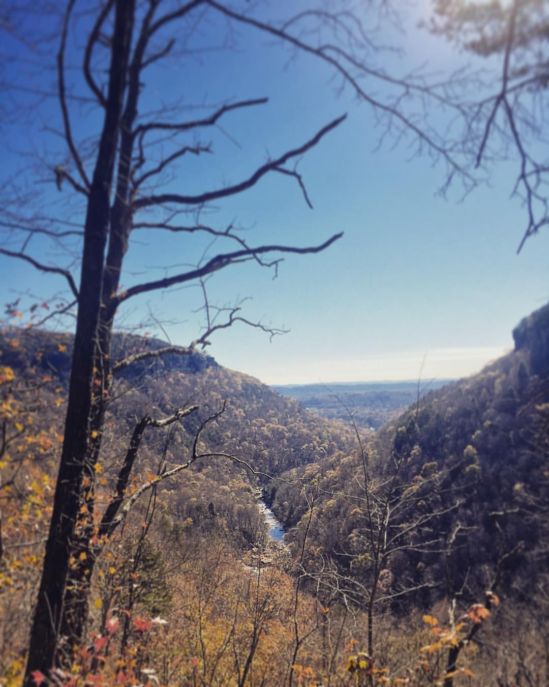
Sometimes you get the best views once the leaves have fallen ???????? #chatt #chattanooga #noog #nooga #noogagram #nashvilleexplorersclub #mountains #moretoexplore #letscamp #livelocallytn #onlytennisee #outside #outdoors #instagramtennes
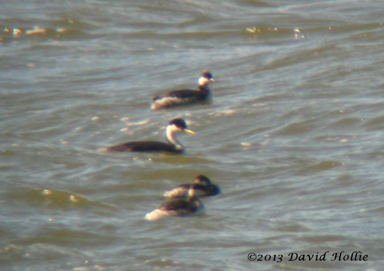
Western Grebe
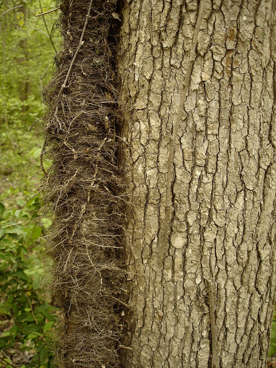
Toxicodendron radicans (Poison Ivy) Anacardiaceae

~Sunset Fishing~

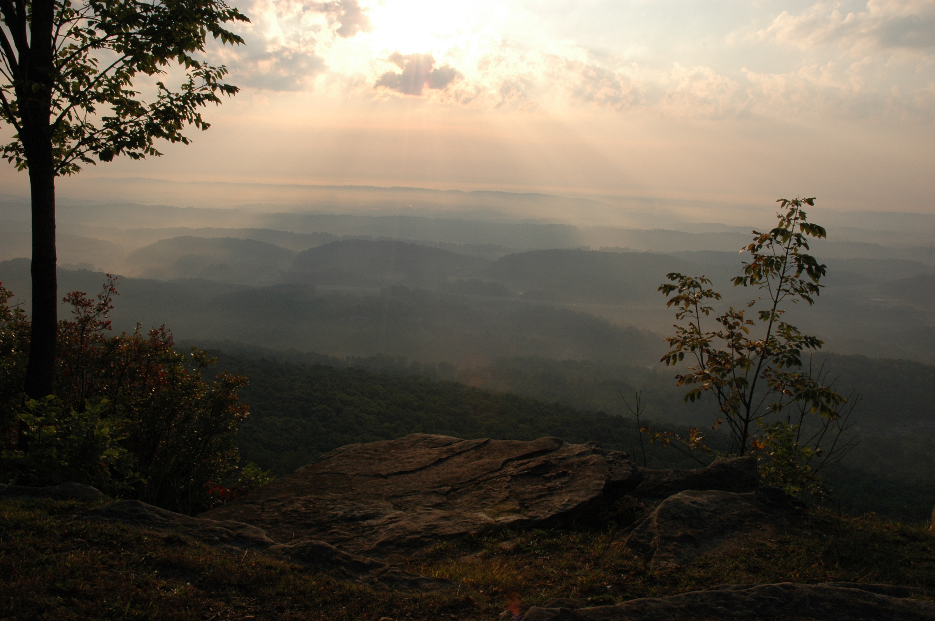
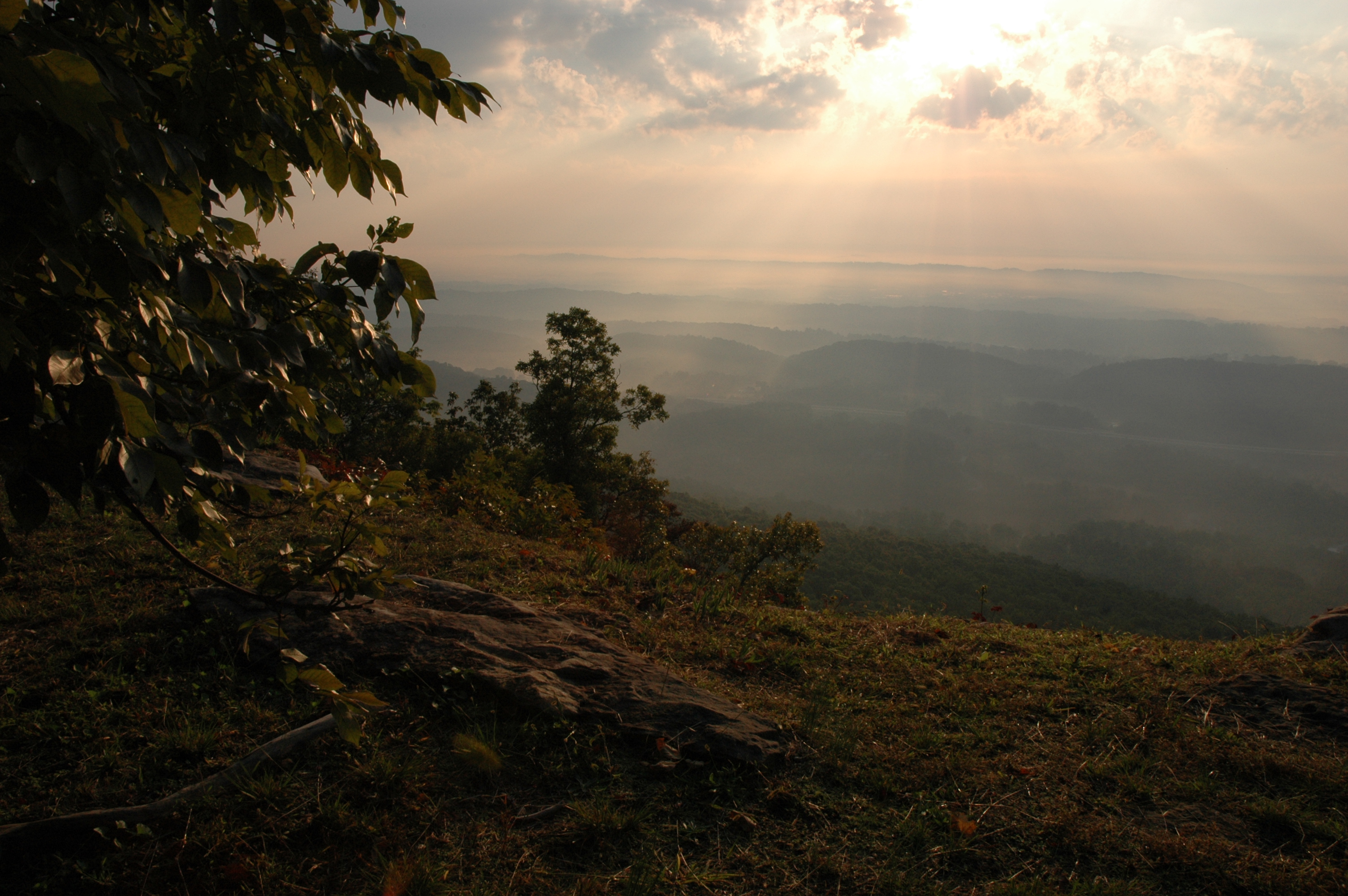
Lake view

Common Loon

Calycanthus floridus (Sweetshrub, Carolina Allspice) Calycanthaceae

Lake view
WBrowSignalMtn-4
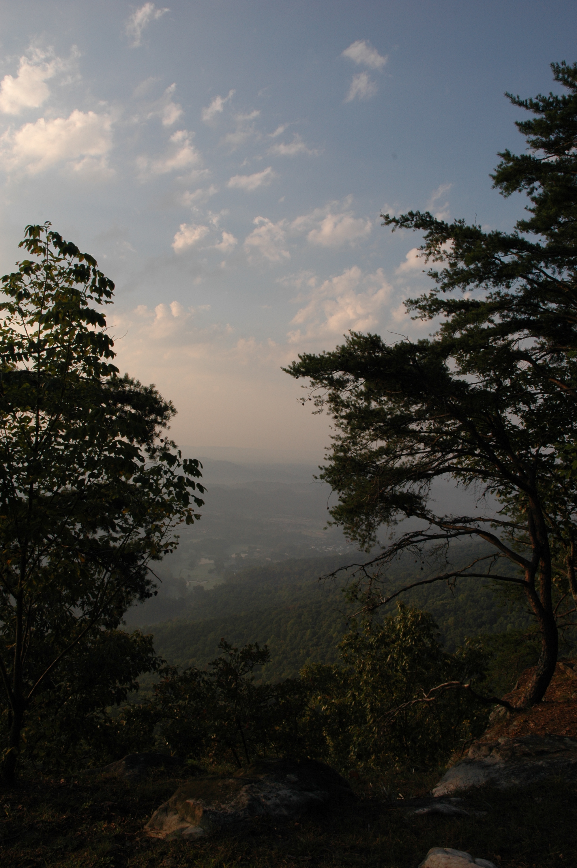
WBrowSignalMtn-2

WBrowSignalMtn-1
WBrowSignalMtn-5
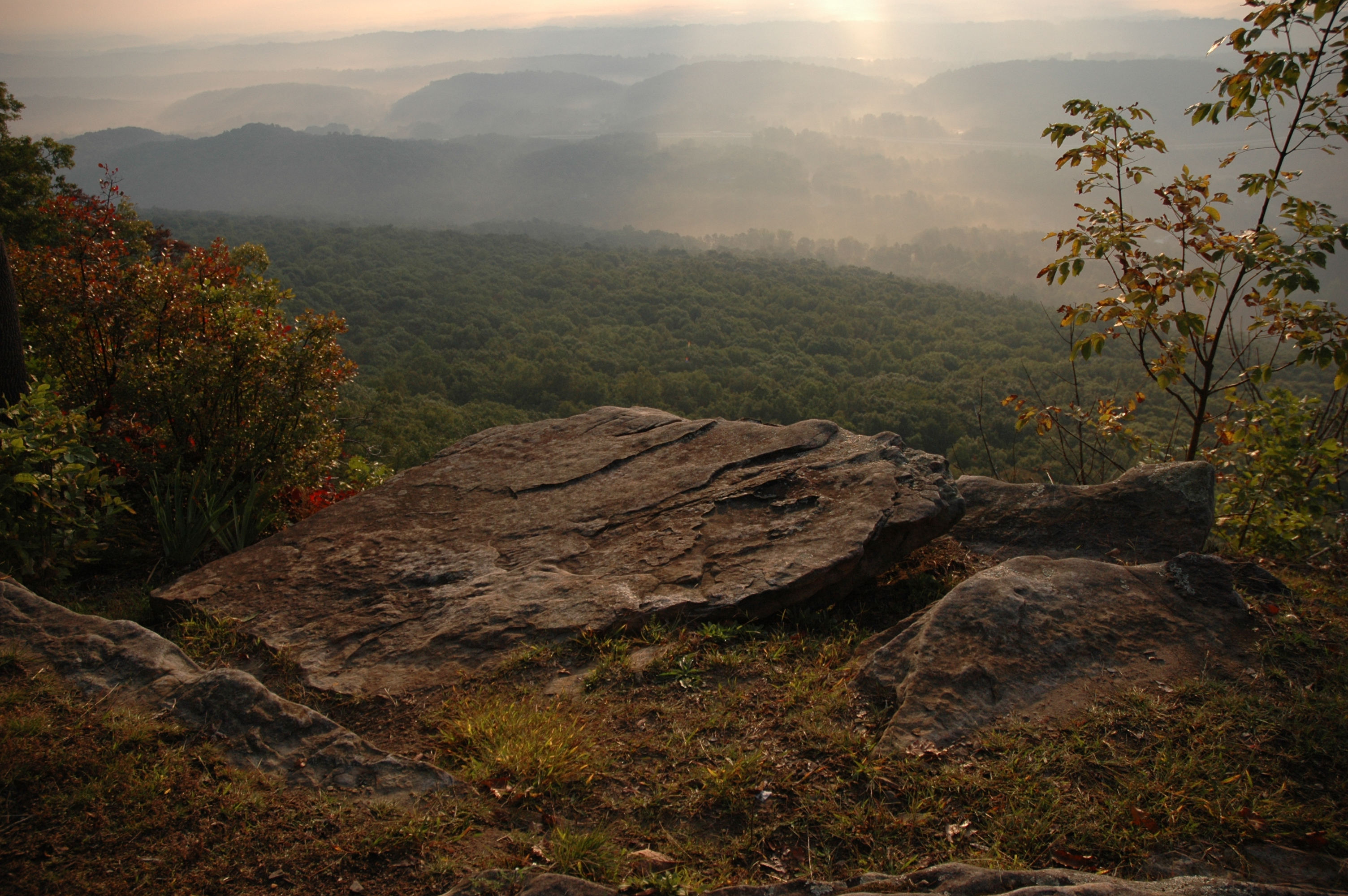
The Rock

Falling Water Presbyterian Church
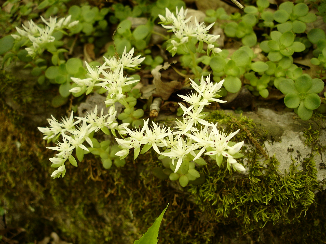
Sedum ternatum (Stonecrop) Crassulaceae
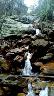
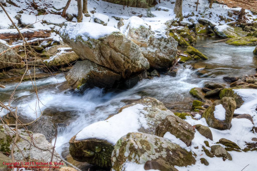
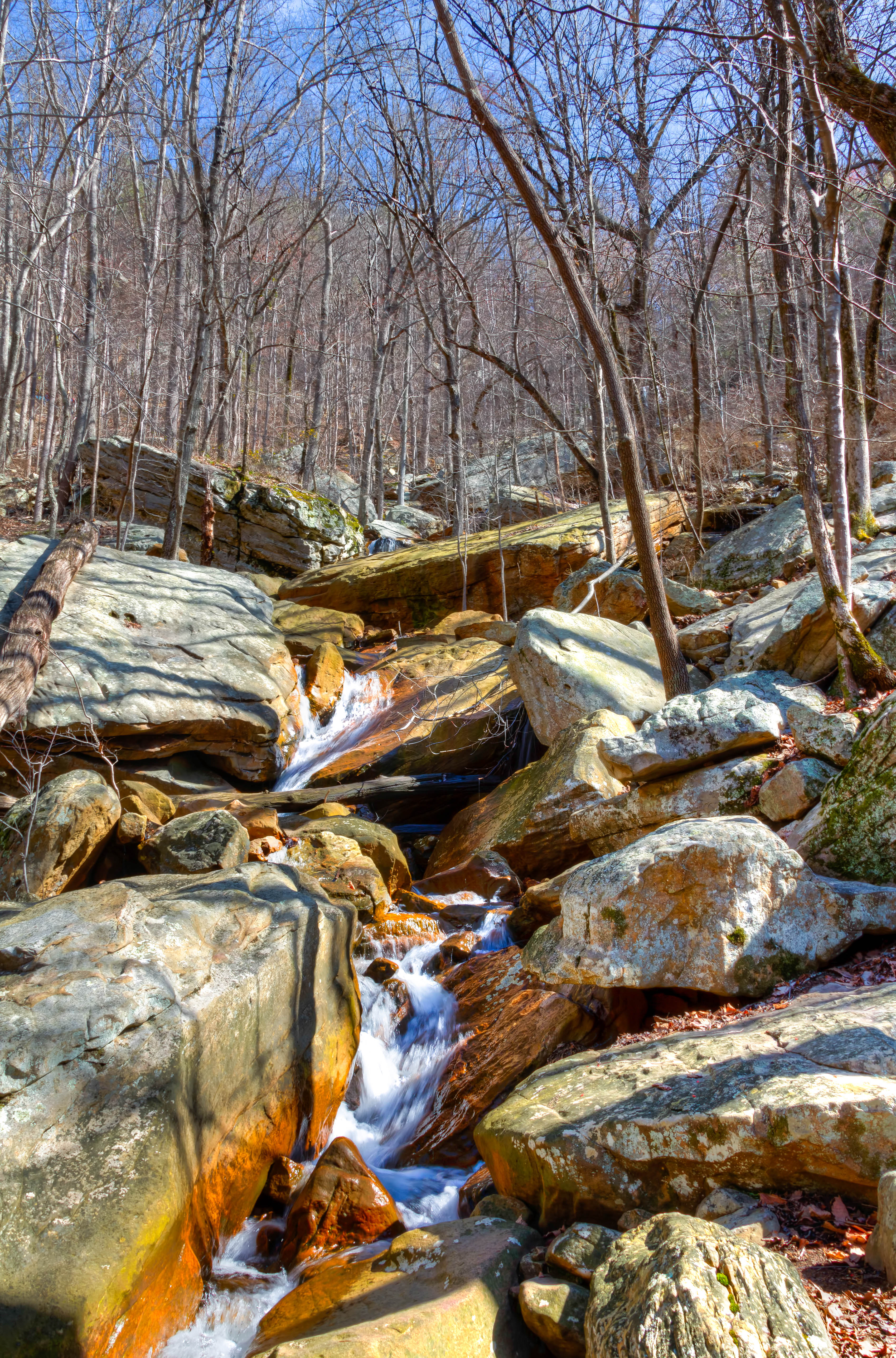
Hogskin Branch

Recording Haven for your viewing pleasure today @ 2.

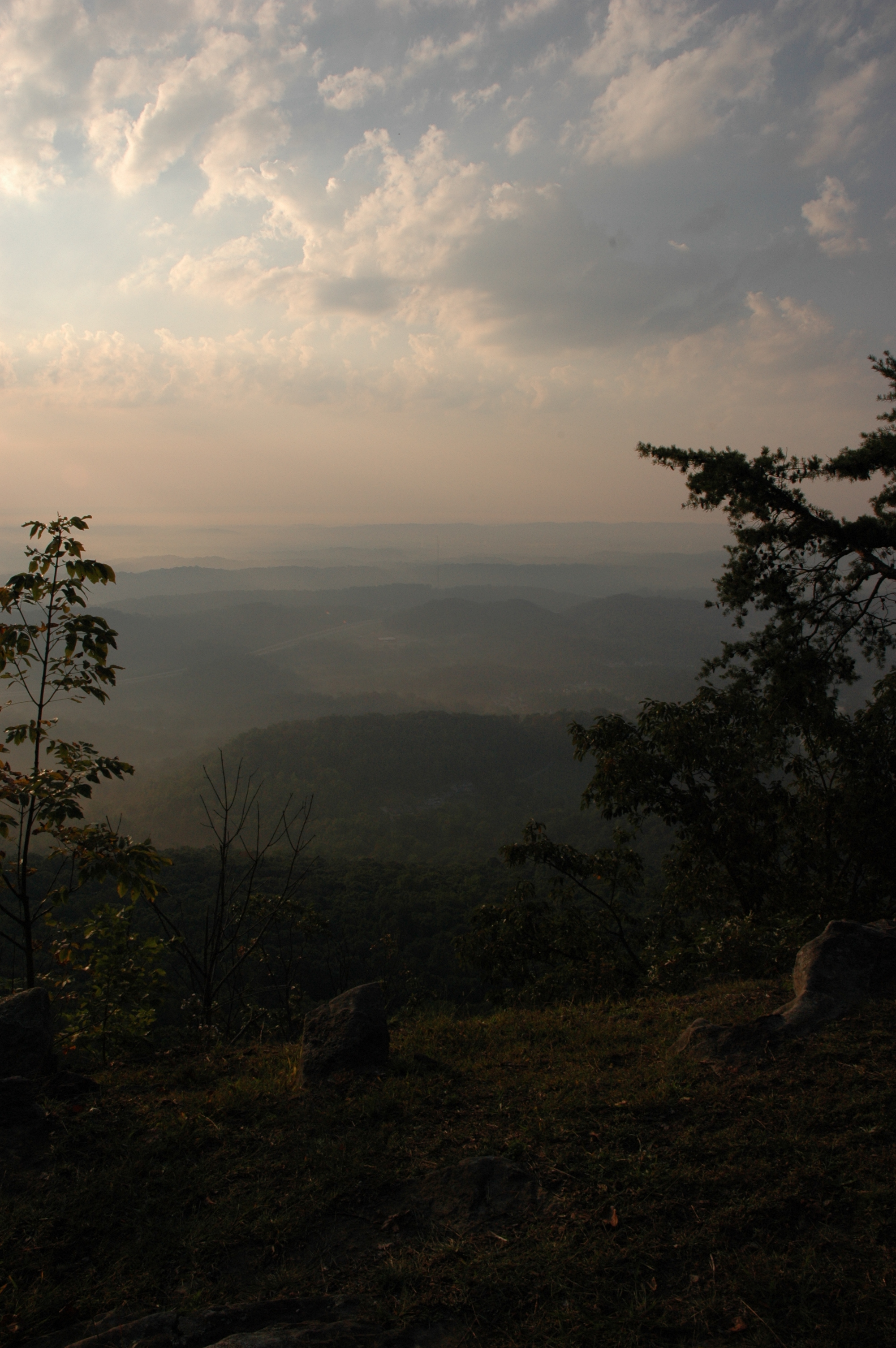
The View
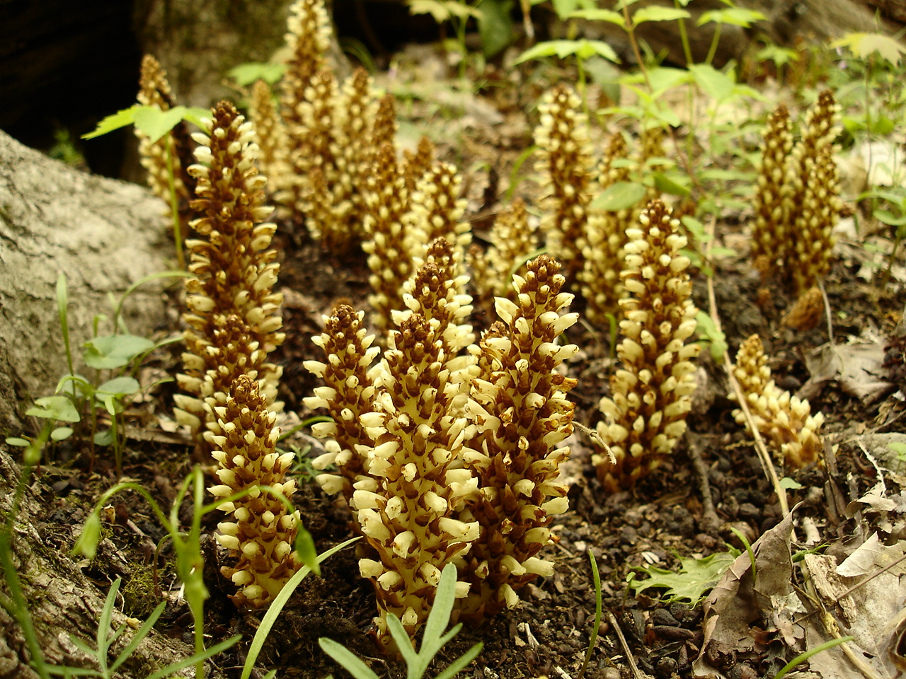
Conopholis americana (American Cancer-root) Orobanchaceae
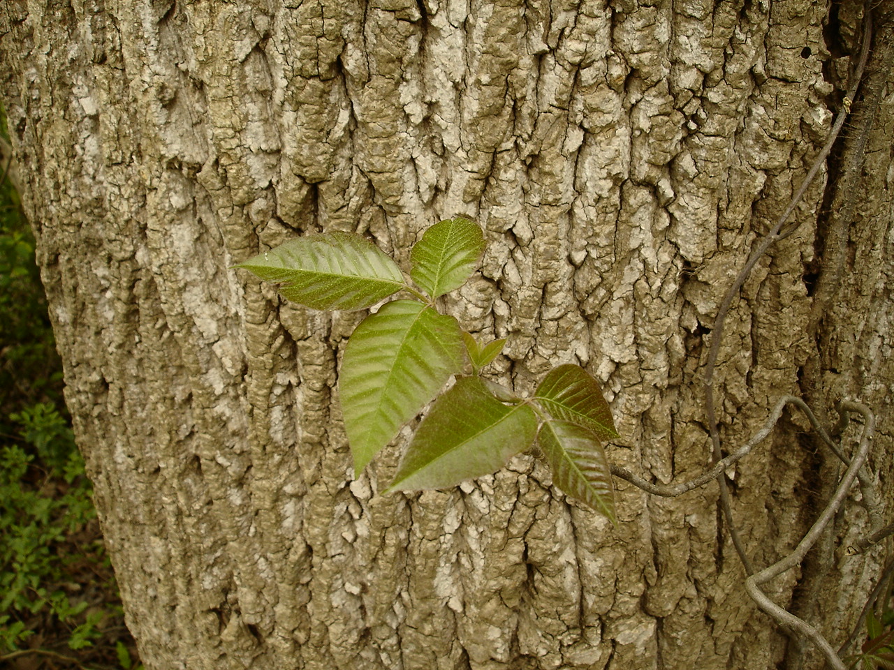
Toxicodendron radicans (Poison Ivy) Anacardiaceae
WBrowSignalMtn-3
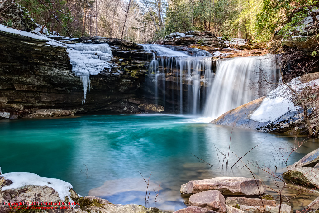
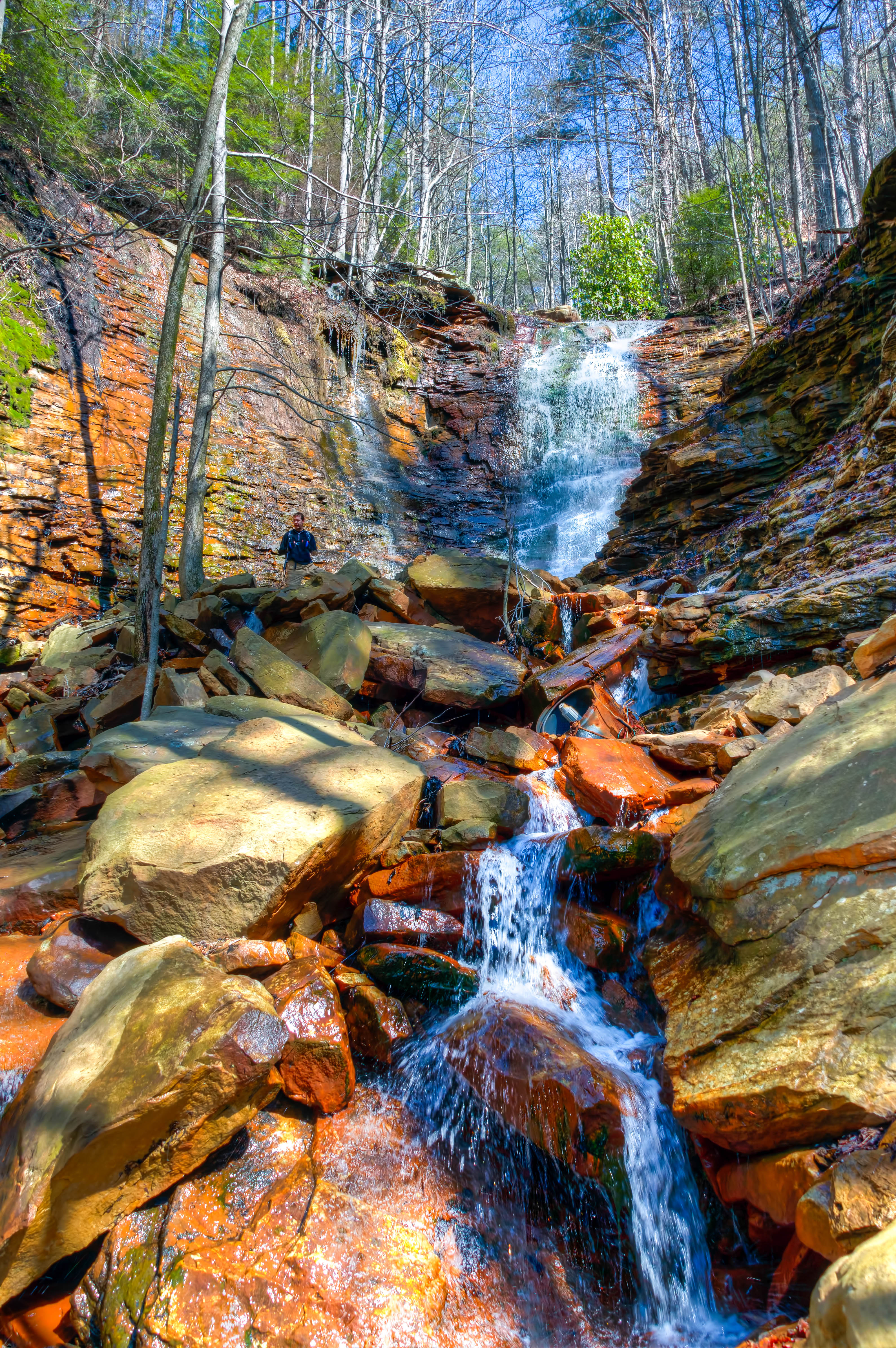
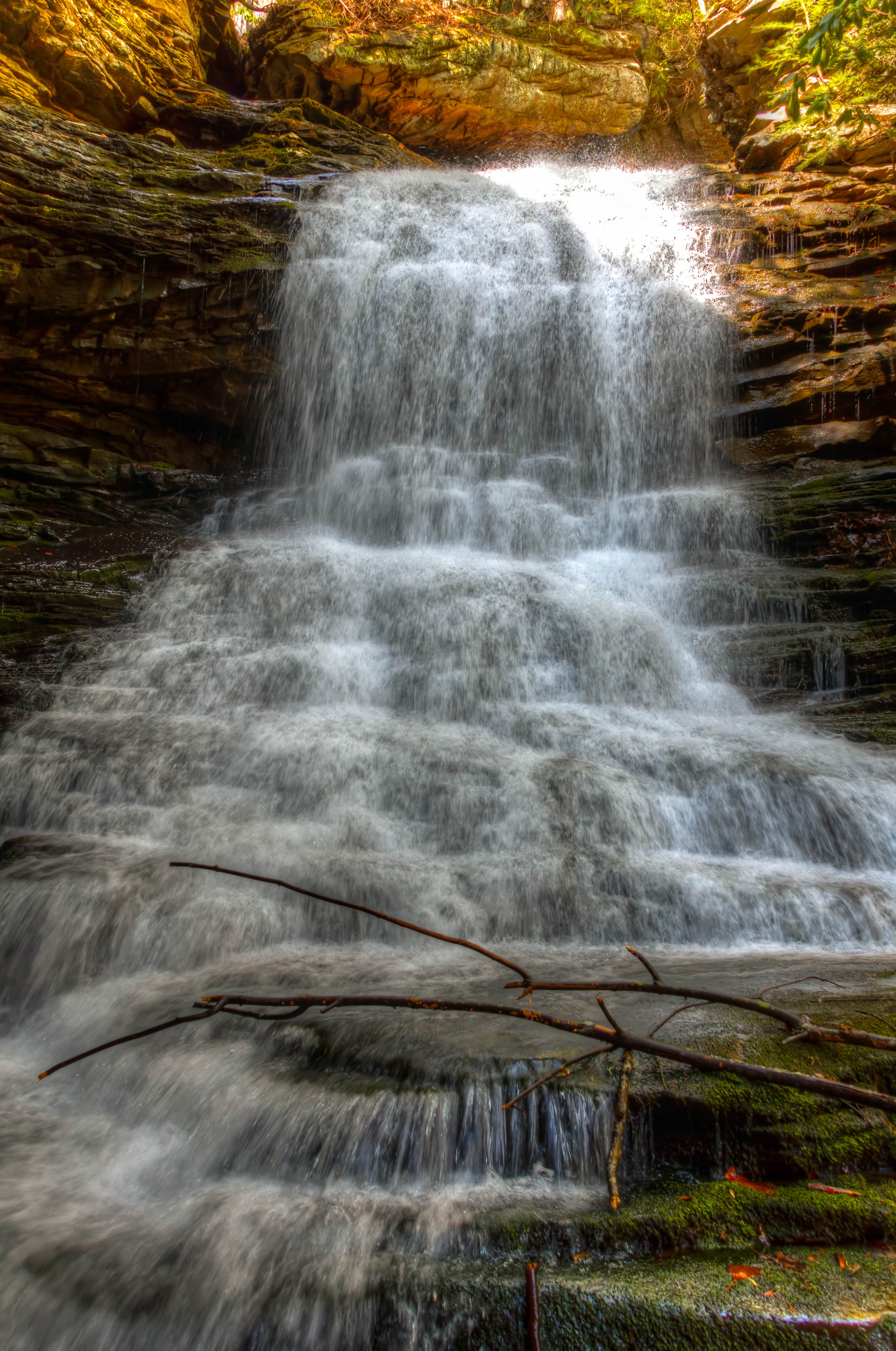
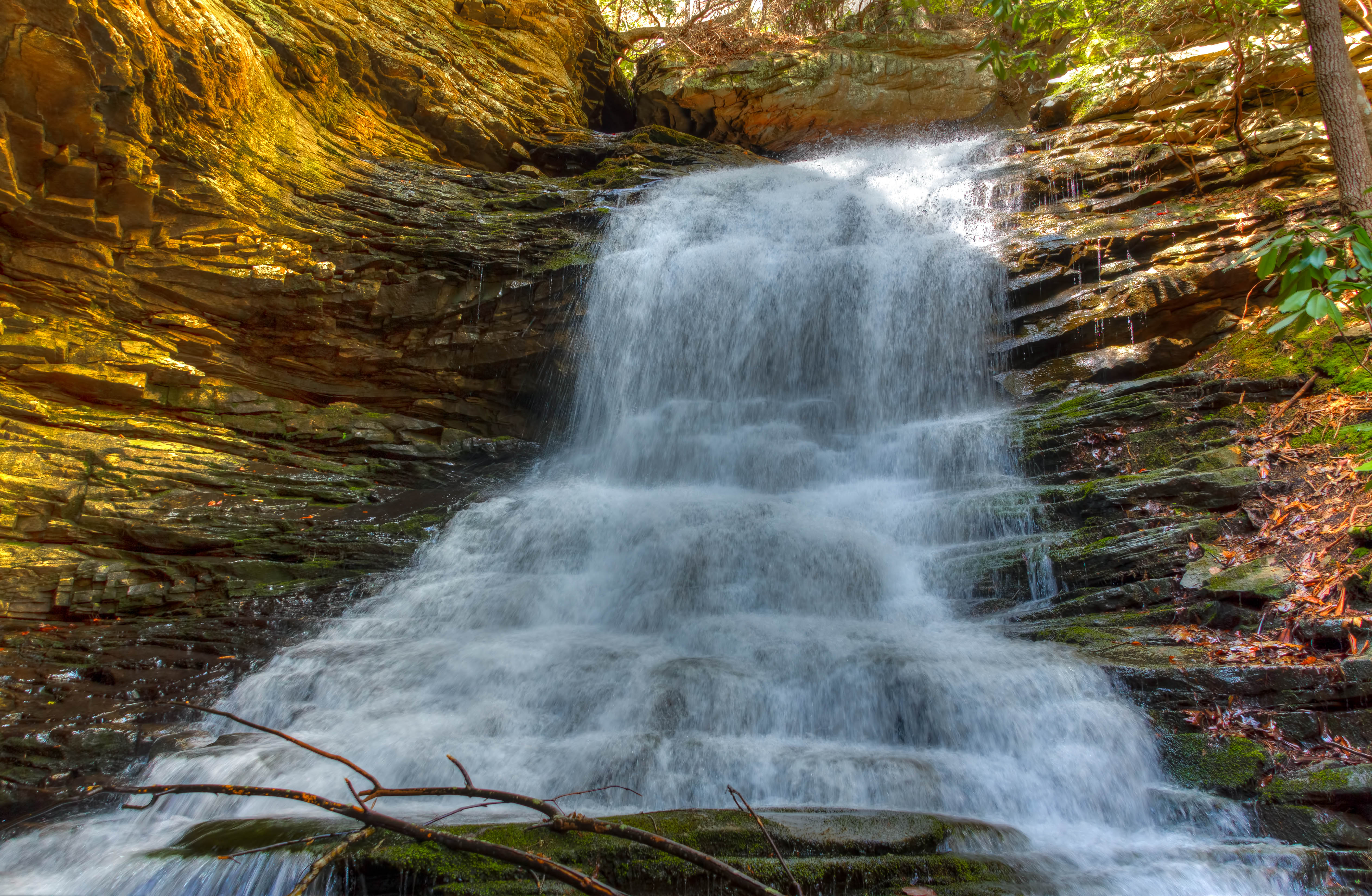
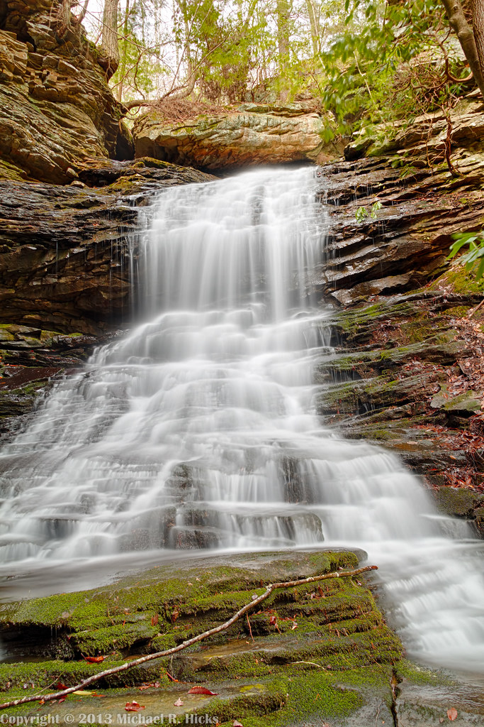
Imodium Falls (Little Possum Creek Falls) - Possum Creek Gorge Section of the Cumberland Trail
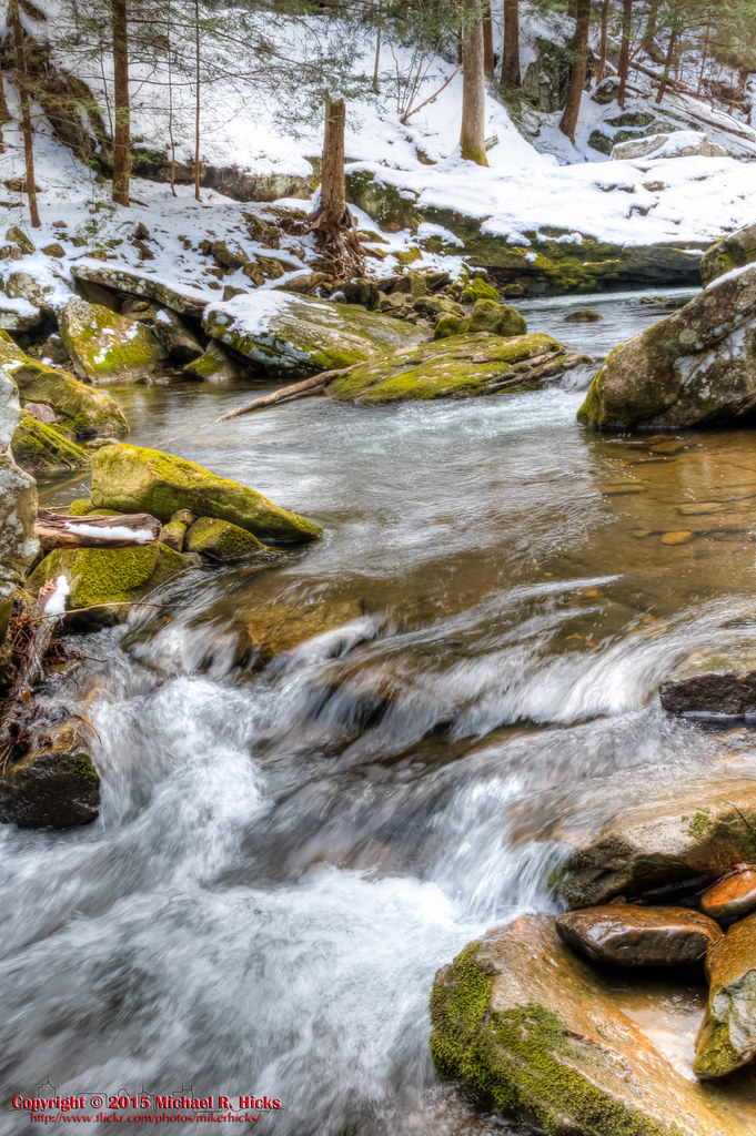
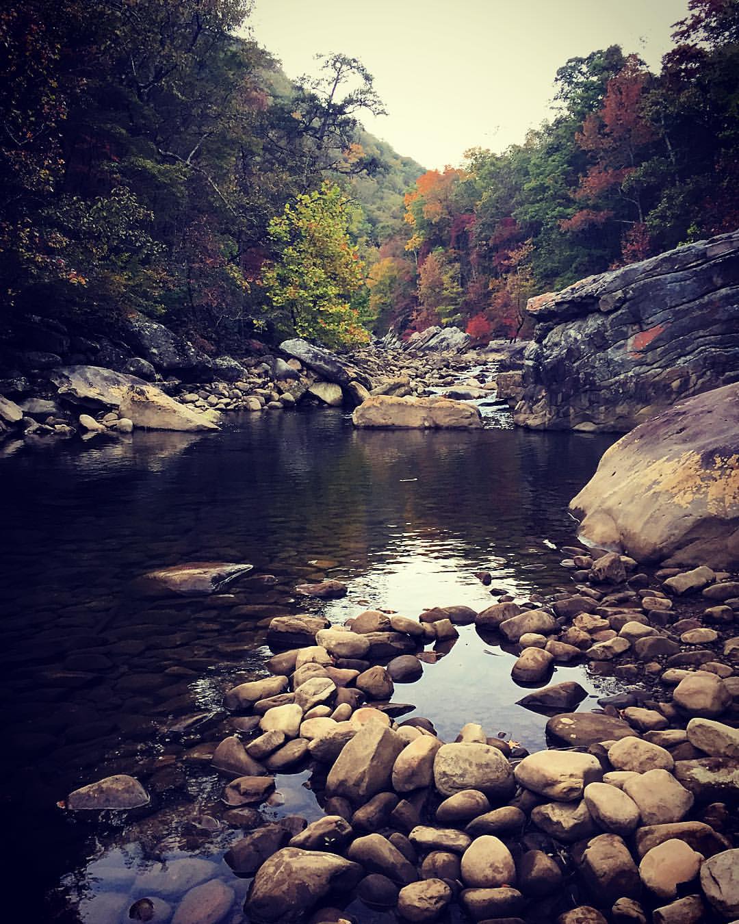
Big Possum Creek - Possum Creek Gorge Section of the Cumberland Trail
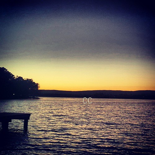
Didn't catch any fish..but I did catch a nice sunset. #sunset, #fishing, #TN,
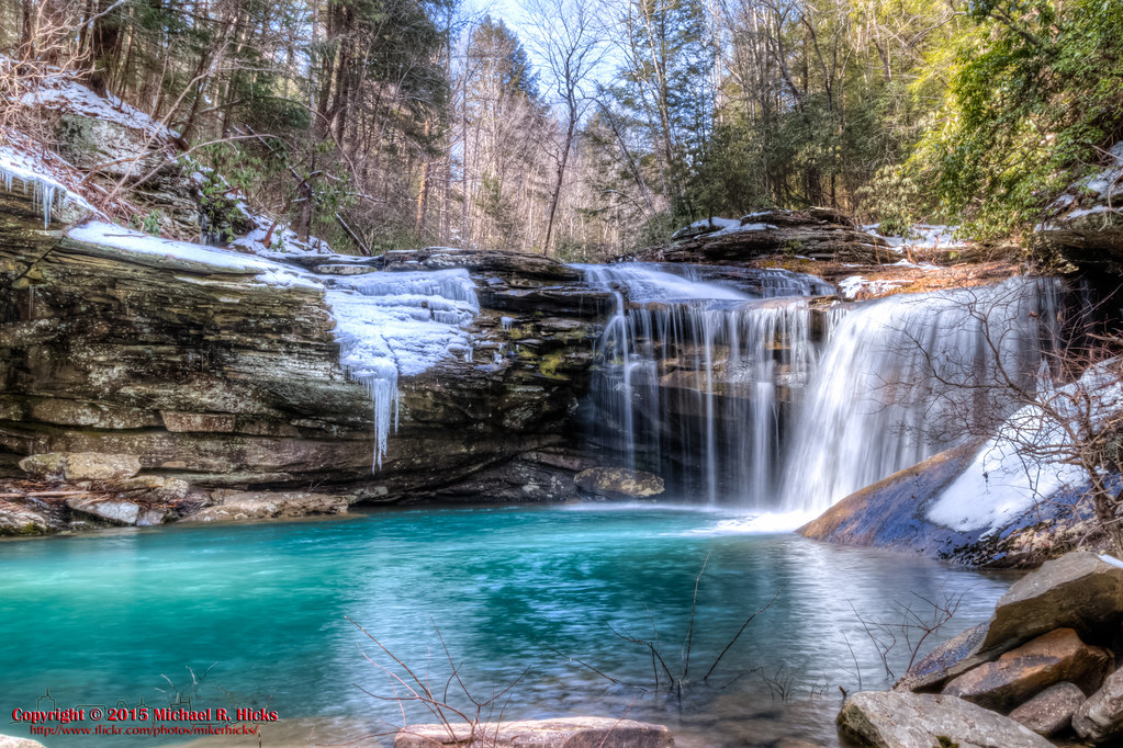
Imodium Falls (Little Possum Creek Falls) - Possum Creek Gorge Section of the Cumberland Trail
Big Possum Creek - Possum Creek Gorge Section of the Cumberland Trail

Caught a Sunset they didnt catch any fish. #sunset, #fishing, #park
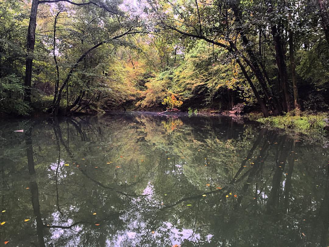
Please consider voting for my #NationalPark Photo in the Centennial Project contest (link in bio). Only 3 days left, and I need every vote I can get! #############################The pop of fall colors and the bend in the trees with the reflection to make

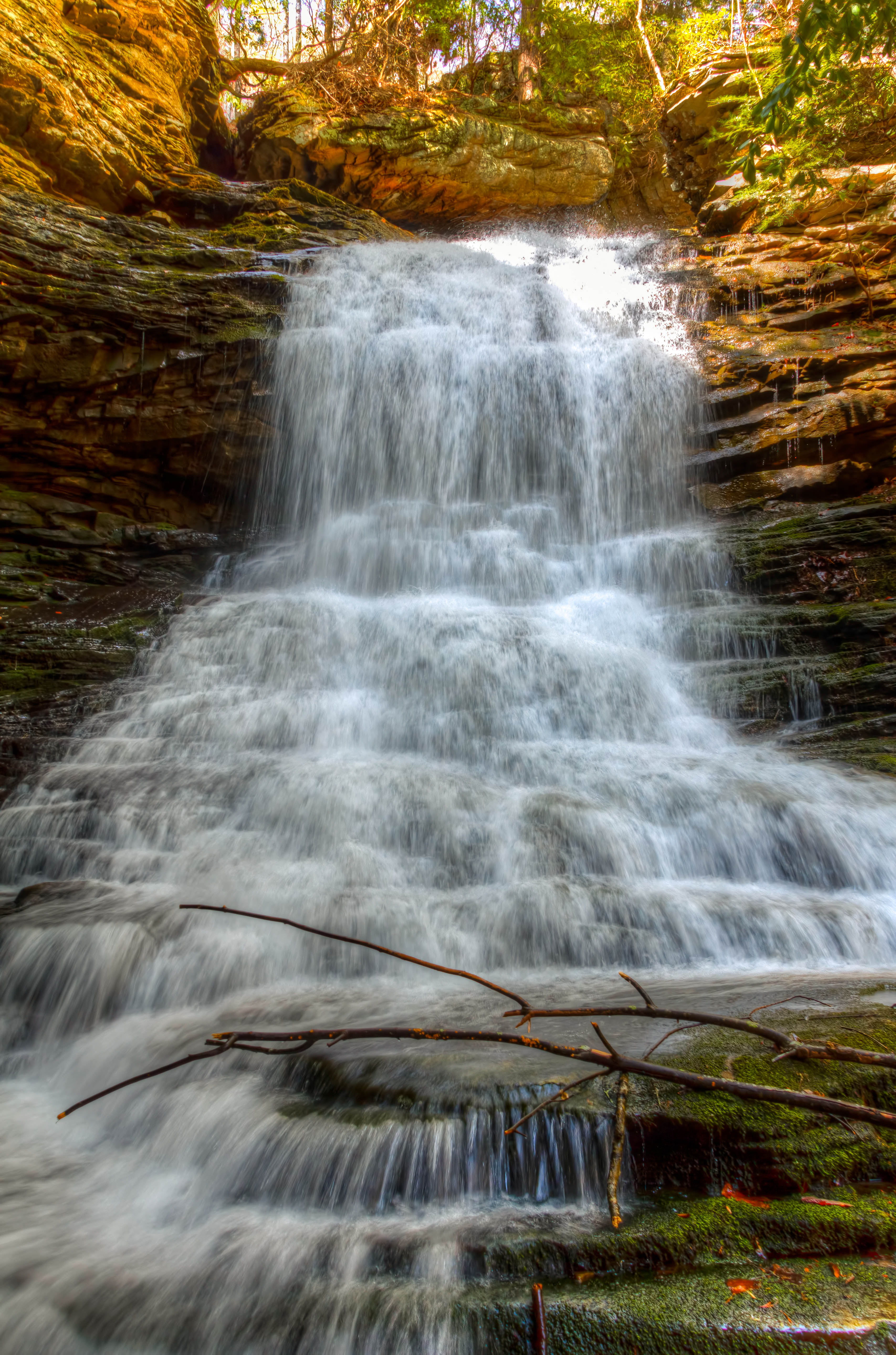
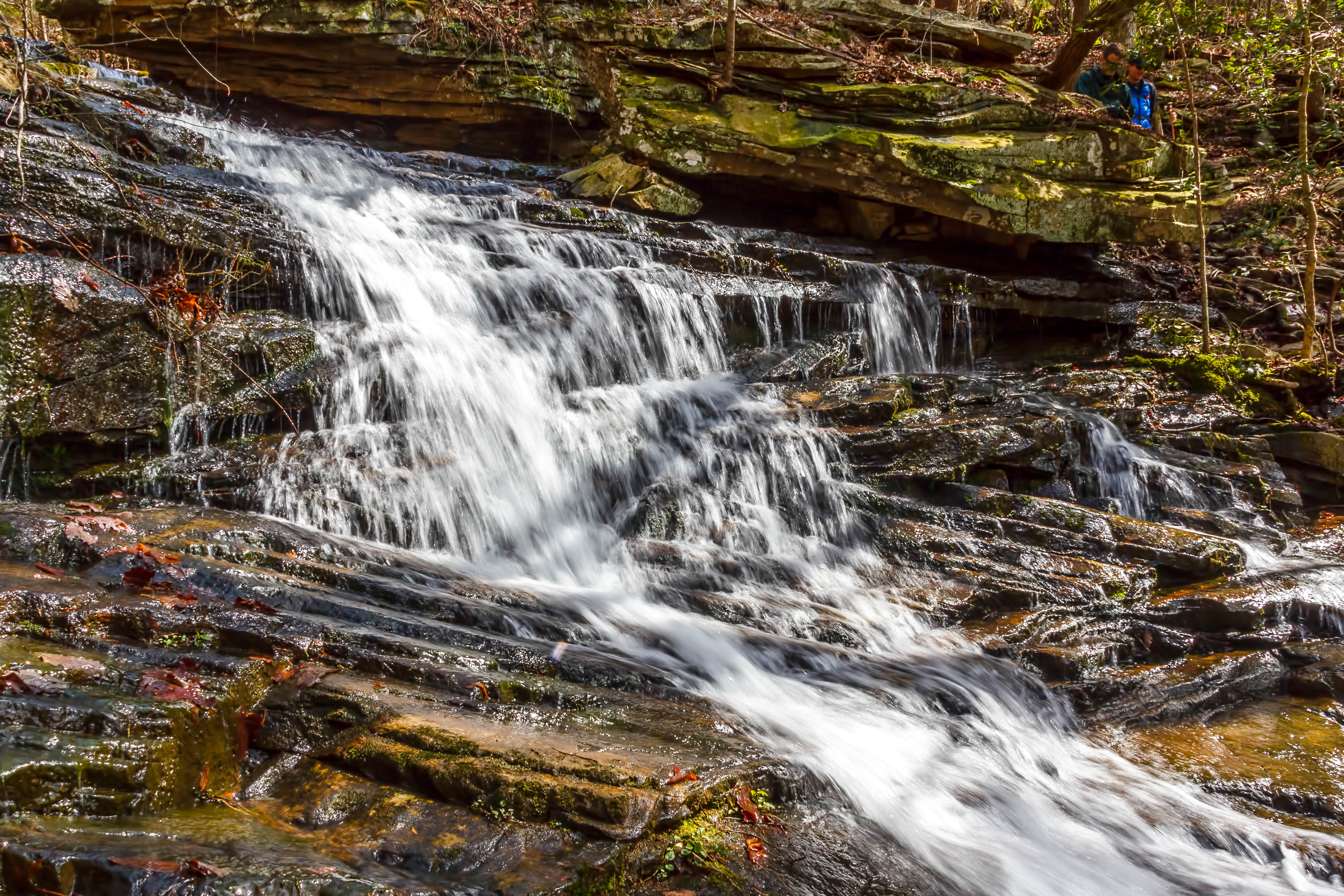
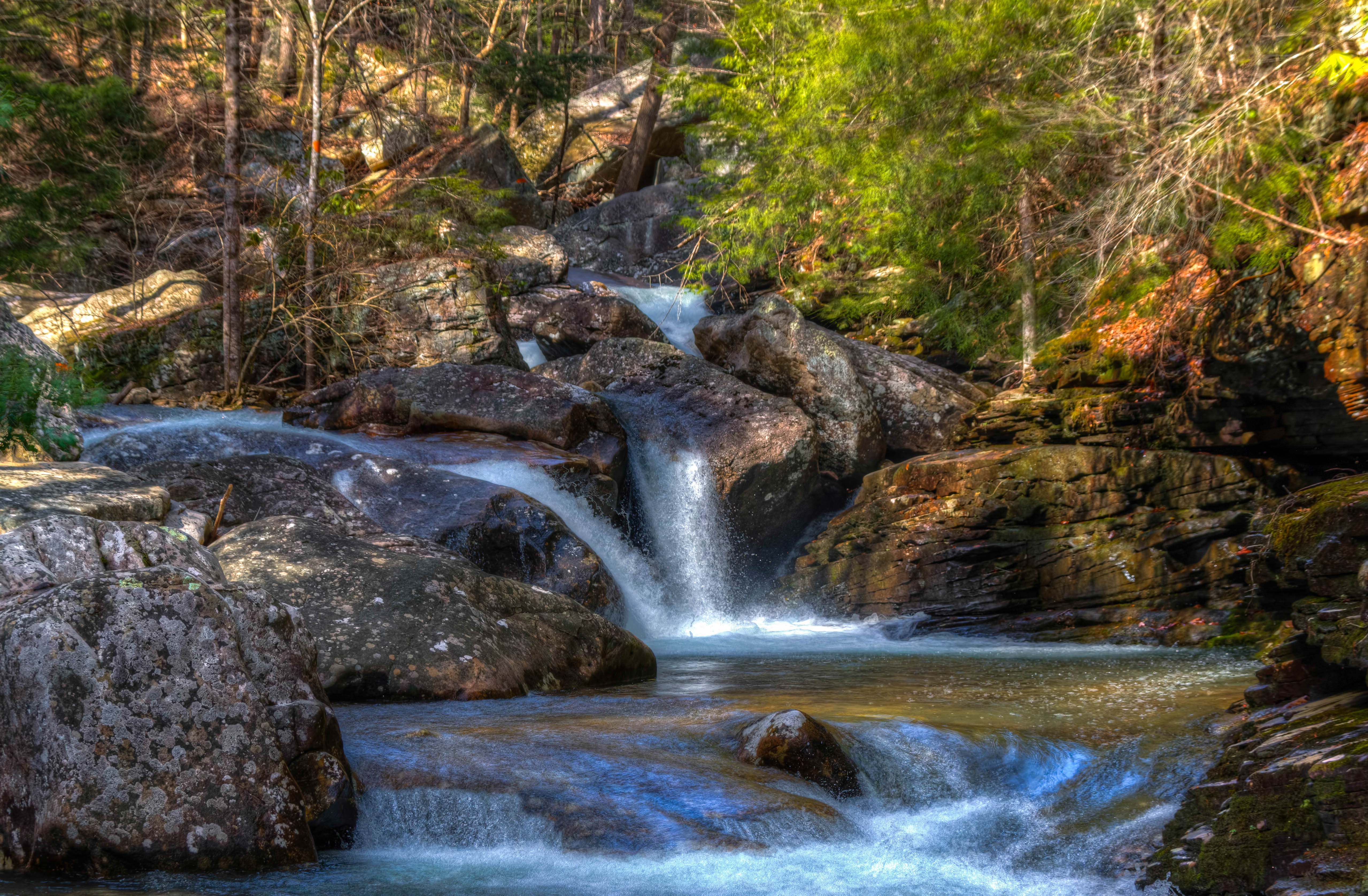
Cooper Creek Falls - North Chickamauga Trail Segment of the Cumberland Trail - February 16, 2013
North Chickamauga Trail Segment of the Cumberland Trail
North Chickamauga Trail Segment of the Cumberland Trail

Great Blue Heron
North Chickamauga Trail Segment of the Cumberland Trail
North Chickamauga Trail Segment of the Cumberland Trail

North Chickamauga Trail Segment of the Cumberland Trail - February 16, 2013
Fall is in full force. ????????????????#exploreTN #exploremore #explore #rei #rei1440project #RedefineTheOutdoors #tn #tnwild #tennessee #ighikers #igerstennessee #instagramtennessee #outside #outdoors #OutdoorsUSA #onlyt

Cooper Creek Falls - North Chickamauga Trail Segment of the Cumberland Trail - February 16, 2013
North Chickamauga Trail Segment of the Cumberland Trail
Cooper Creek Falls - North Chickamauga Trail Segment of the Cumberland Trail - February 16, 2013
North Chickamauga Trail Segment of the Cumberland Trail
North Chickamauga Trail Segment of the Cumberland Trail
Topographic Map of Dayton Pike, Soddy-Daisy, TN, USA
Find elevation by address:

Places near Dayton Pike, Soddy-Daisy, TN, USA:
Soddy-daisy
Hamilton Avenue
Soddy Daisy High School
428 Mowbray Pike
9700 Millsaps Coal Rd
Montlake Rd, Soddy-Daisy, TN, USA
Terrace Falls Drive
919 Sandstone Terrace
8818 Terrace Falls Dr
Dallas Hollow Rd, Soddy-Daisy, TN, USA
911 Rose Marie Ct
8620 Brookplace Dr
Montlake
816 Brook Run Dr
8704 Brow Lake Rd
8618 Brow Lake Rd
1001 Montlake Rd
1001 Montlake Rd
Hallett Street North
1031 Trojan Run Dr
Recent Searches:
- Elevation of Congressional Dr, Stevensville, MD, USA
- Elevation of Bellview Rd, McLean, VA, USA
- Elevation of Stage Island Rd, Chatham, MA, USA
- Elevation of Shibuya Scramble Crossing, 21 Udagawacho, Shibuya City, Tokyo -, Japan
- Elevation of Jadagoniai, Kaunas District Municipality, Lithuania
- Elevation of Pagonija rock, Kranto 7-oji g. 8"N, Kaunas, Lithuania
- Elevation of Co Rd 87, Jamestown, CO, USA
- Elevation of Tenjo, Cundinamarca, Colombia
- Elevation of Côte-des-Neiges, Montreal, QC H4A 3J6, Canada
- Elevation of Bobcat Dr, Helena, MT, USA