Elevation of Montlake Rd, Soddy-Daisy, TN, USA
Location: United States > Tennessee > Hamilton County > Soddy-daisy >
Longitude: -85.211094
Latitude: 35.259974
Elevation: 535m / 1755feet
Barometric Pressure: 95KPa
Elevation Map:
Satellite Map:
Related Photos:

Falling Water Presbyterian Church

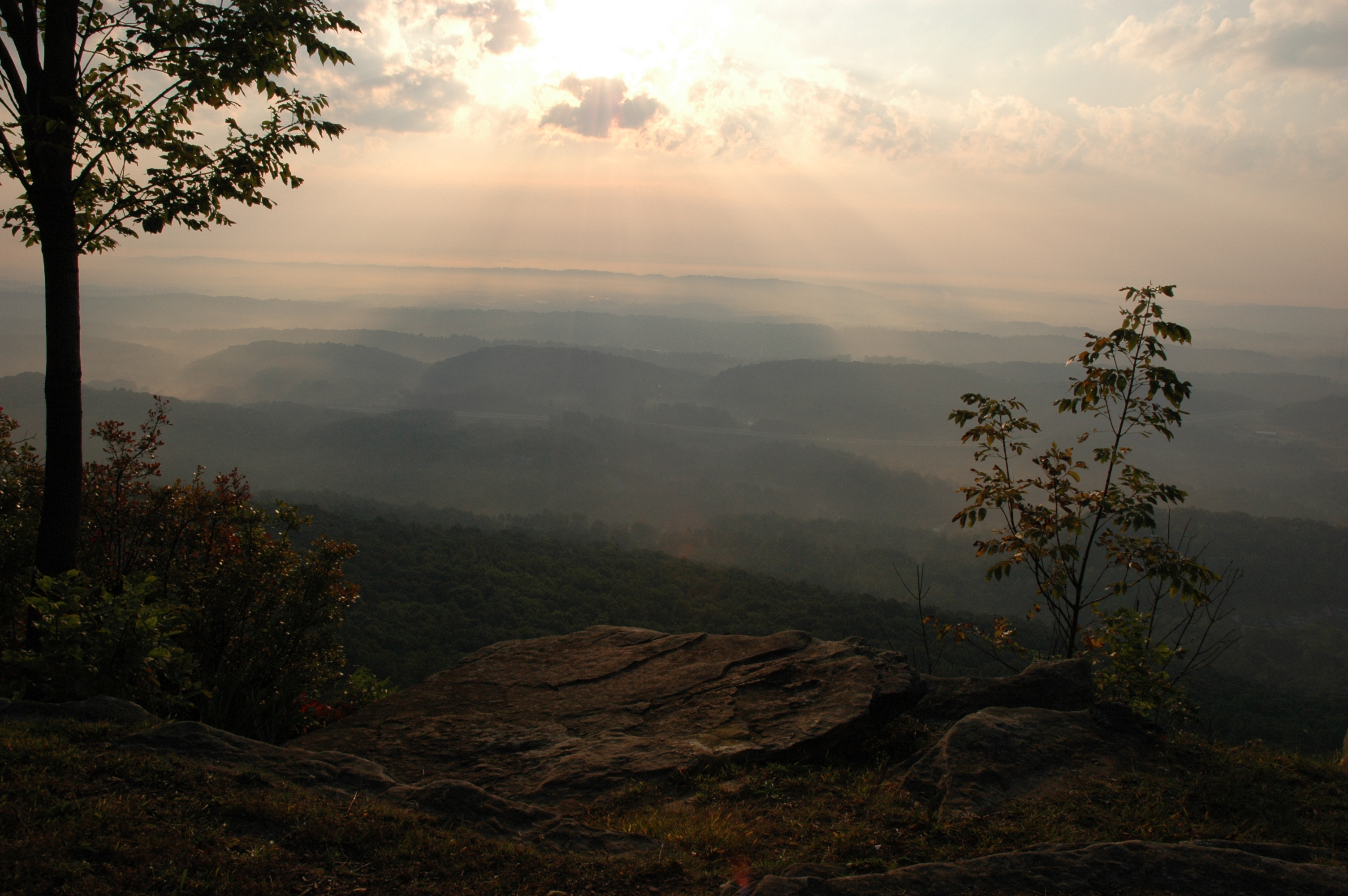
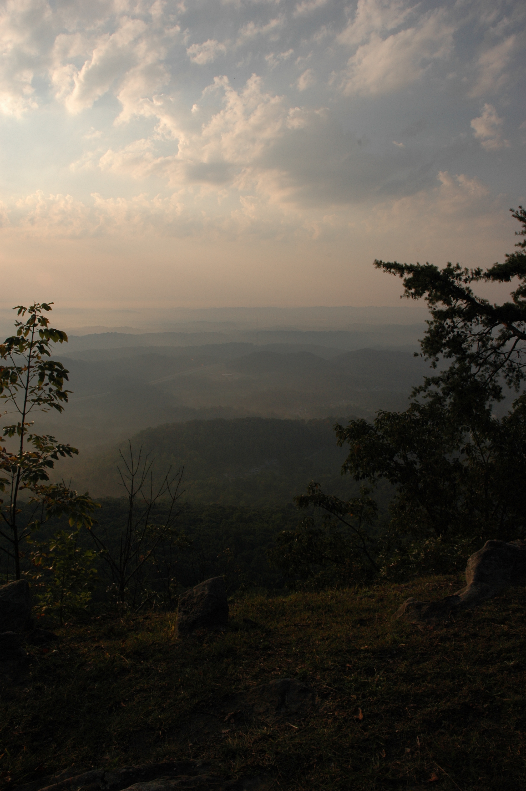
The View

~Sunset Fishing~
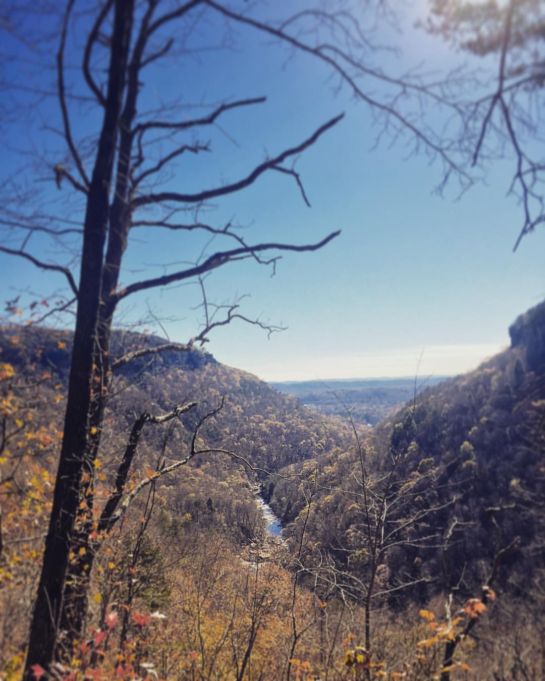
Sometimes you get the best views once the leaves have fallen ???????? #chatt #chattanooga #noog #nooga #noogagram #nashvilleexplorersclub #mountains #moretoexplore #letscamp #livelocallytn #onlytennisee #outside #outdoors #instagramtennes

Lake view

Lake view
WBrowSignalMtn-4
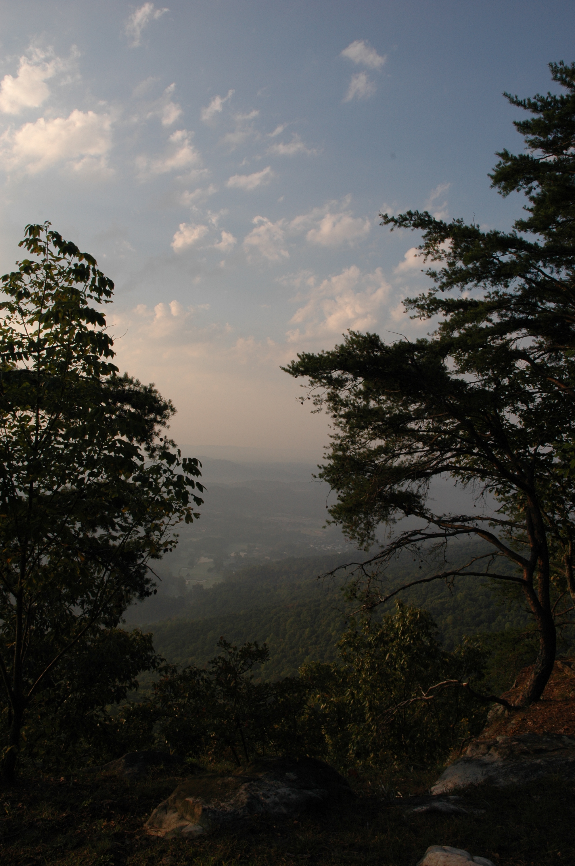
WBrowSignalMtn-2

WBrowSignalMtn-1

@xpectopatronum on the hang gliding ramp. #babe #model #portrait #tennessee #view #sequatchievalley

WBrowSignalMtn-5
The Rock
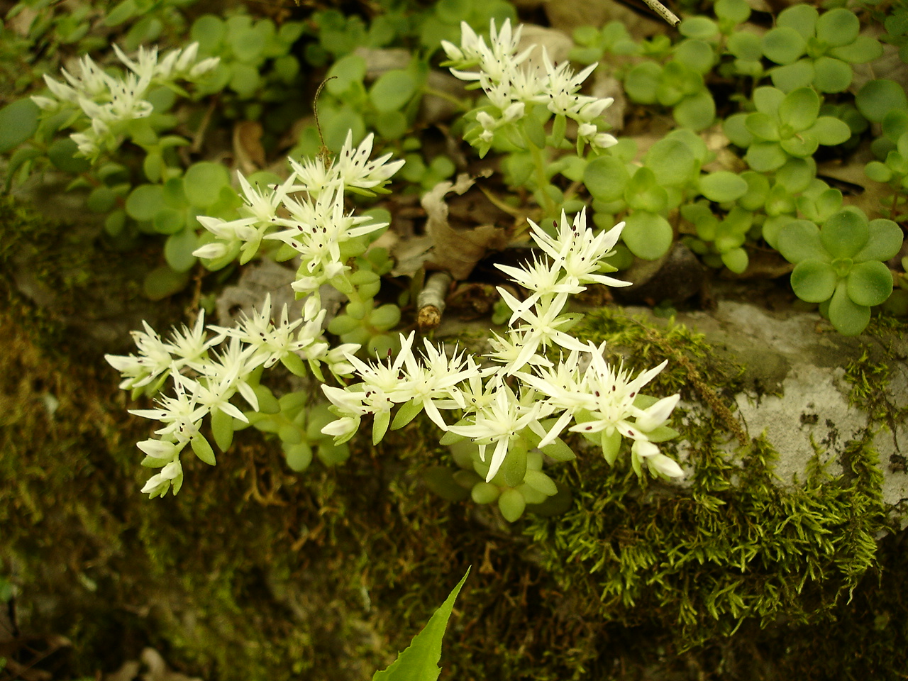
Sedum ternatum (Stonecrop) Crassulaceae
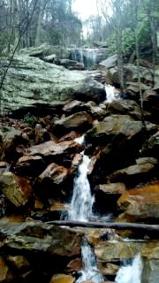
Hogskin Branch

Recording Haven for your viewing pleasure today @ 2.
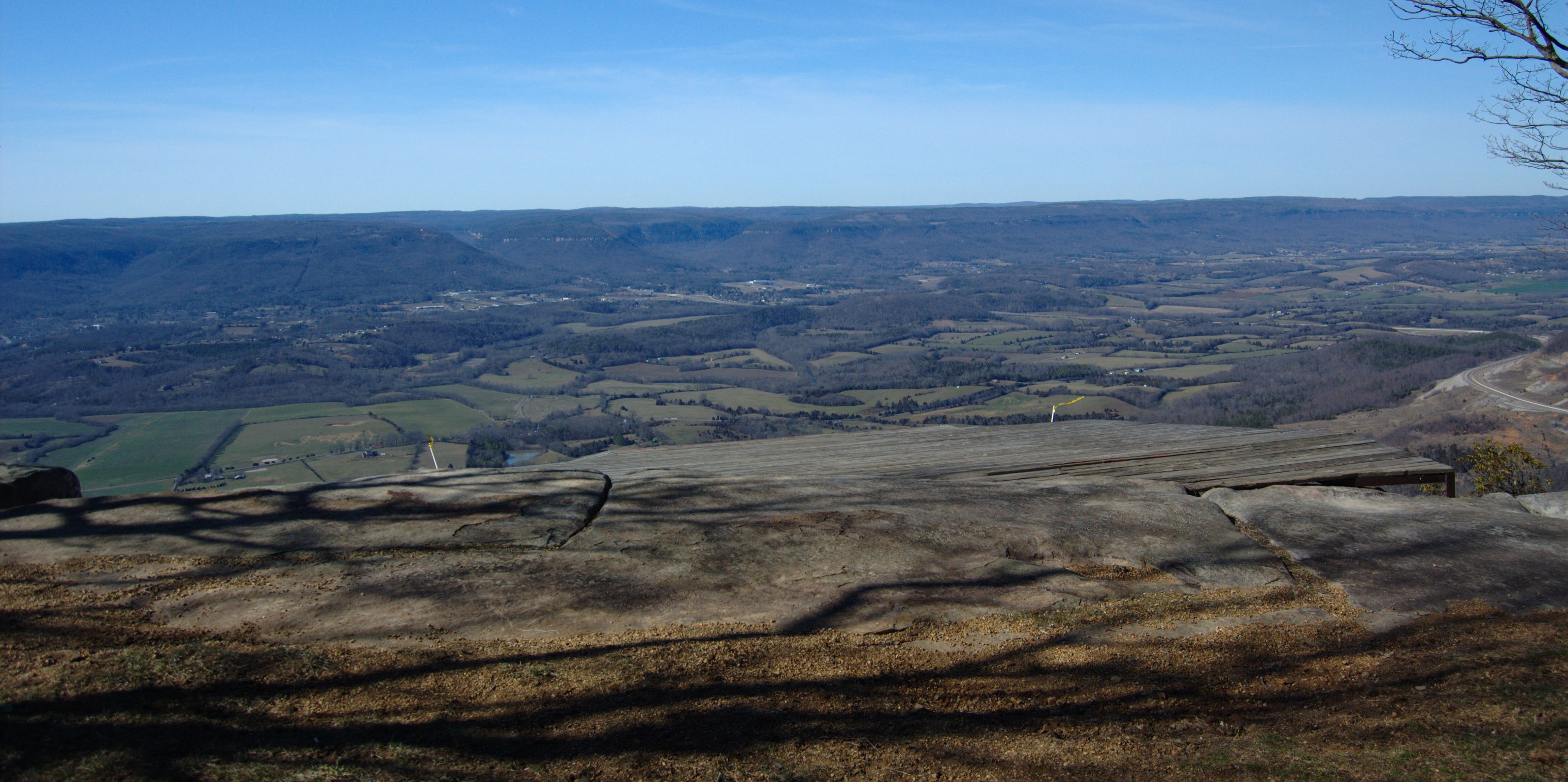
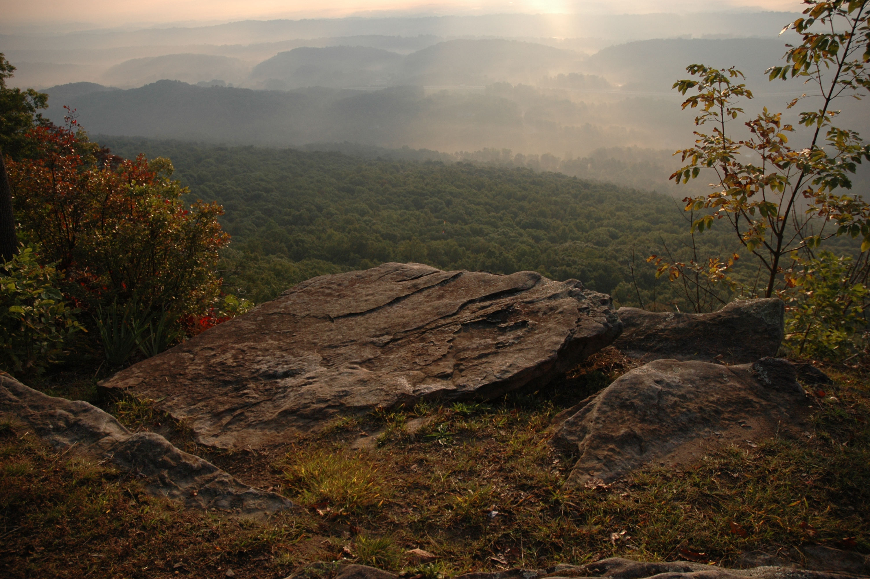
Sequatchie Valley
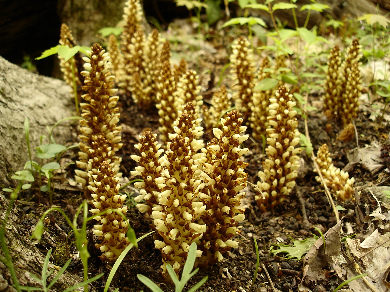
Conopholis americana (American Cancer-root) Orobanchaceae
WBrowSignalMtn-3
Rhus aromatica (Fragrant Sumac) Anacardiaceae

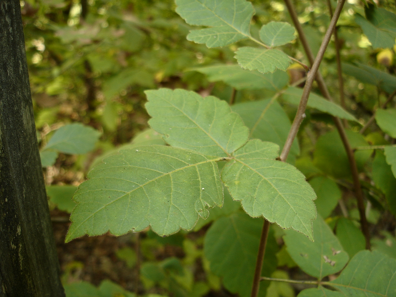
Toxicodendron radicans (Poison Ivy) Anacardiacaea
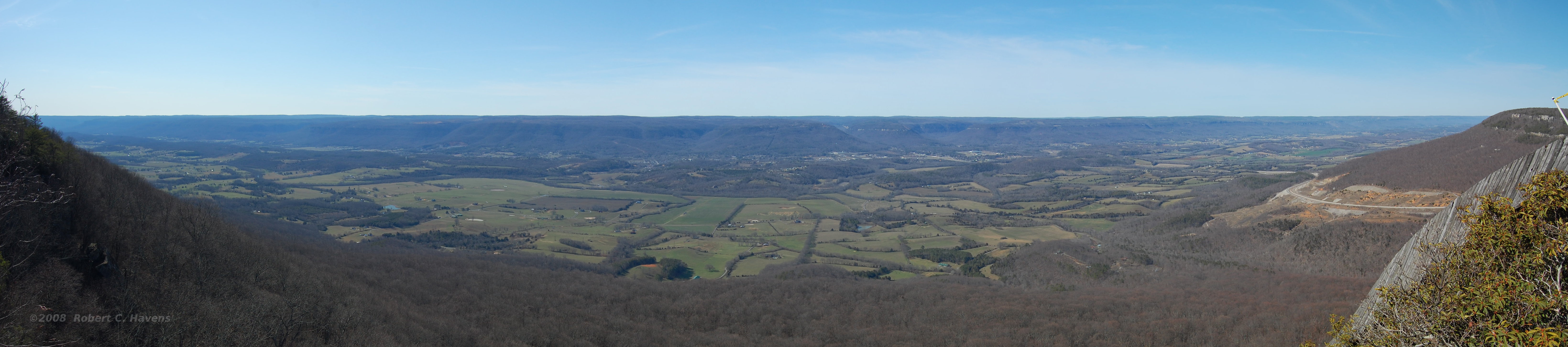
Sequatchie Valley Panorama
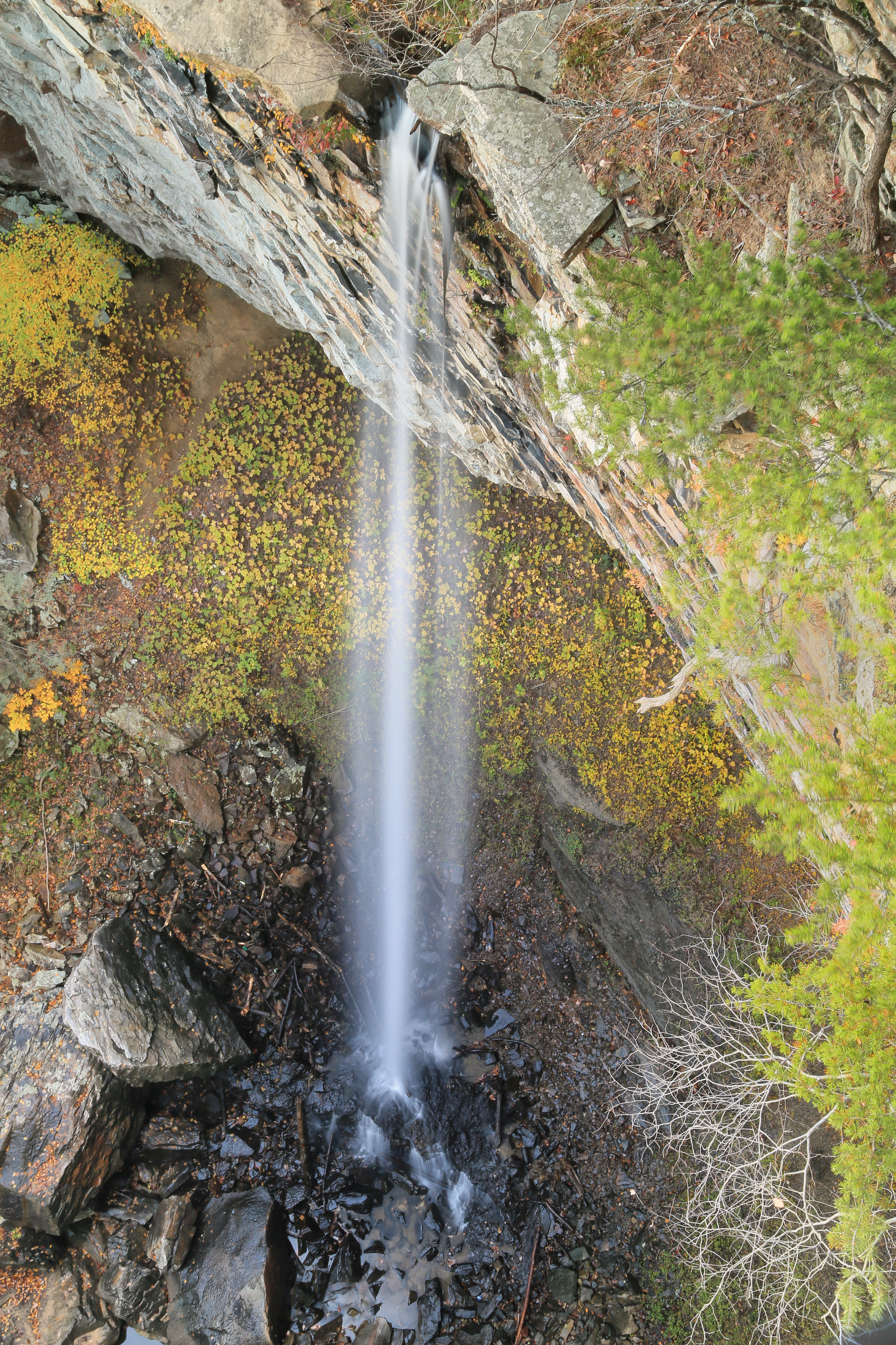
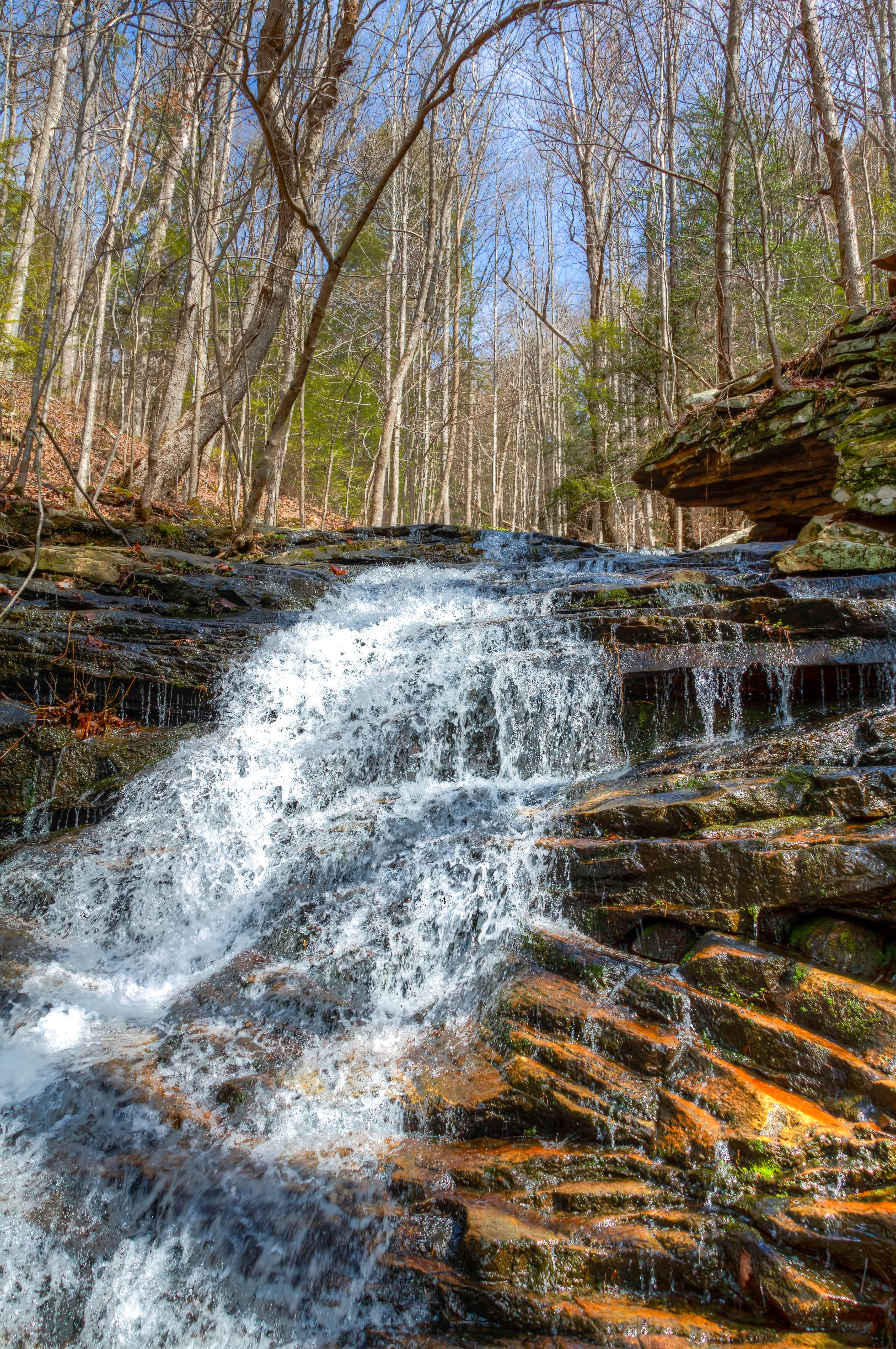
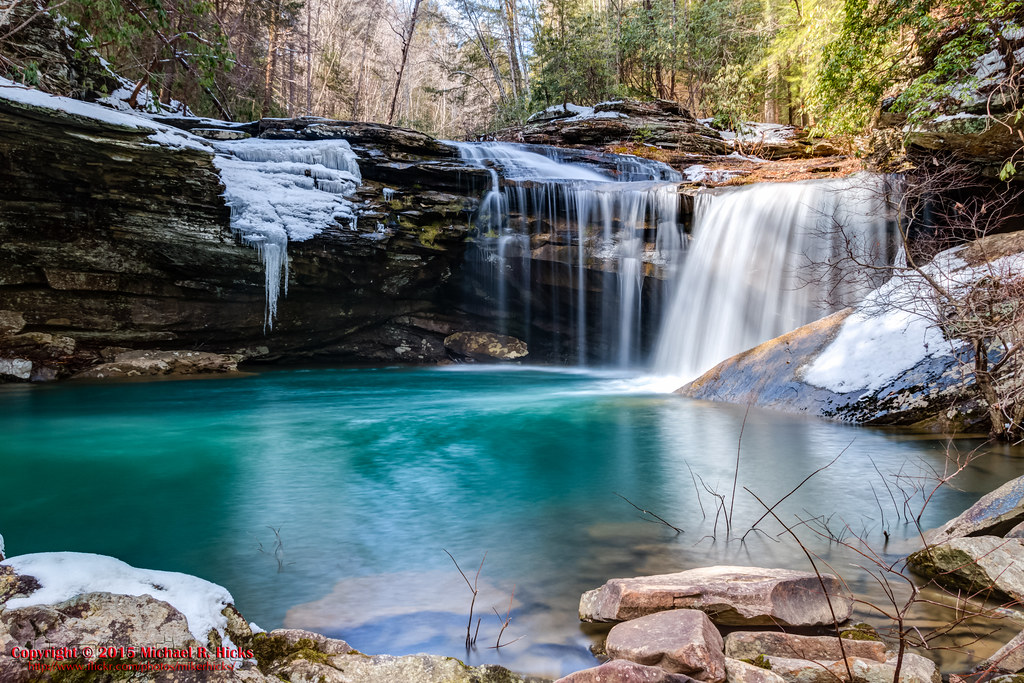
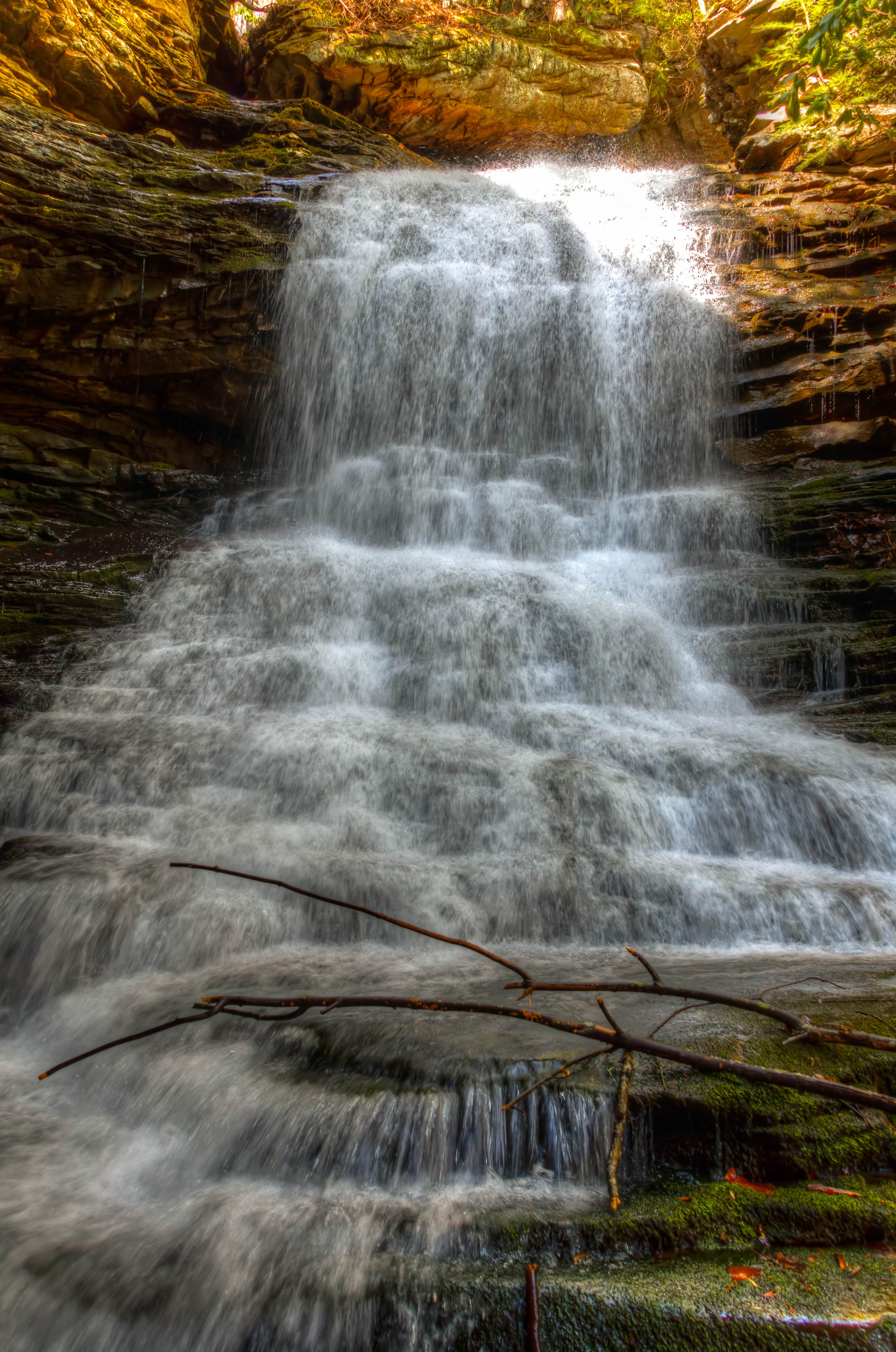
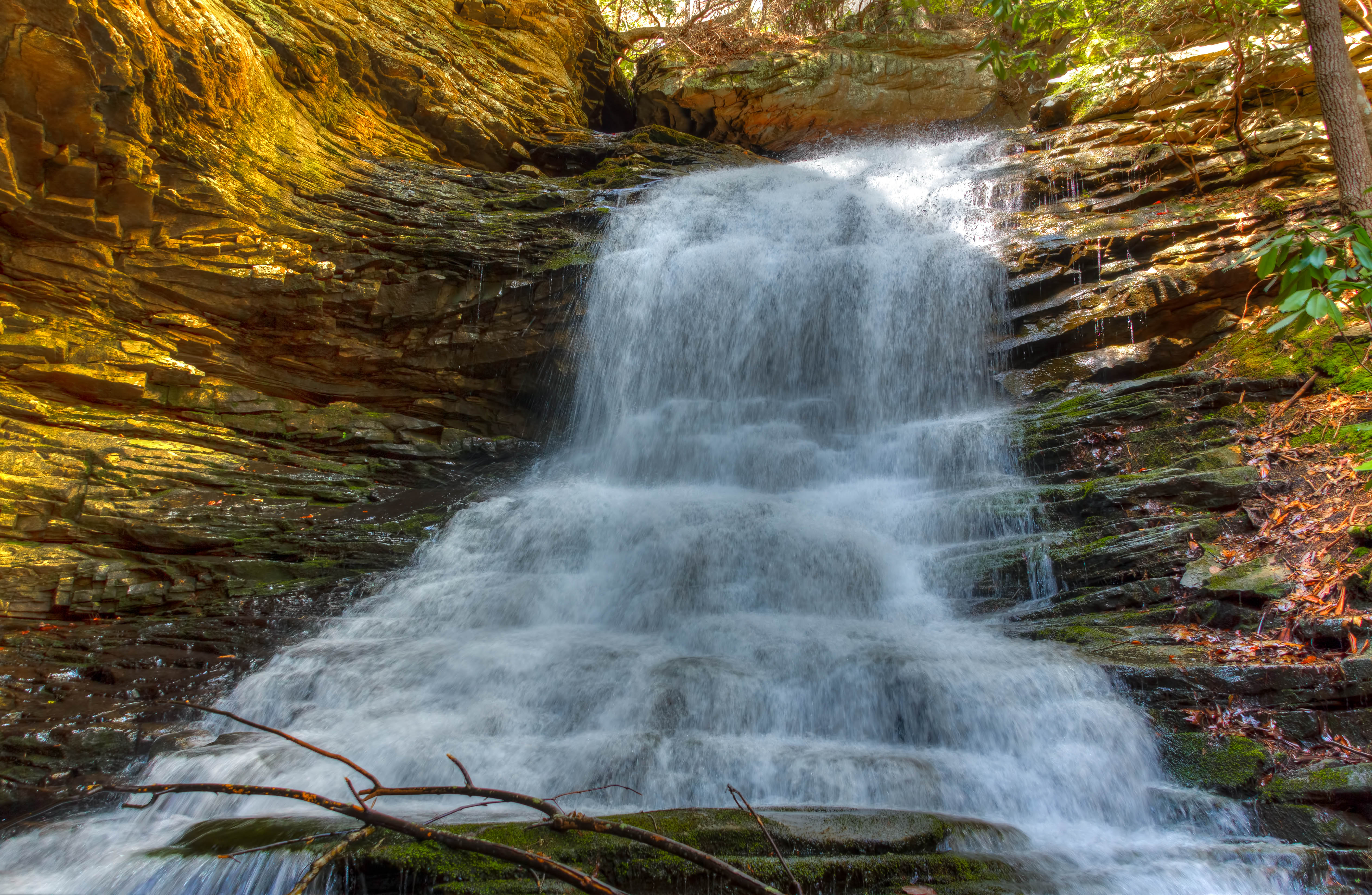
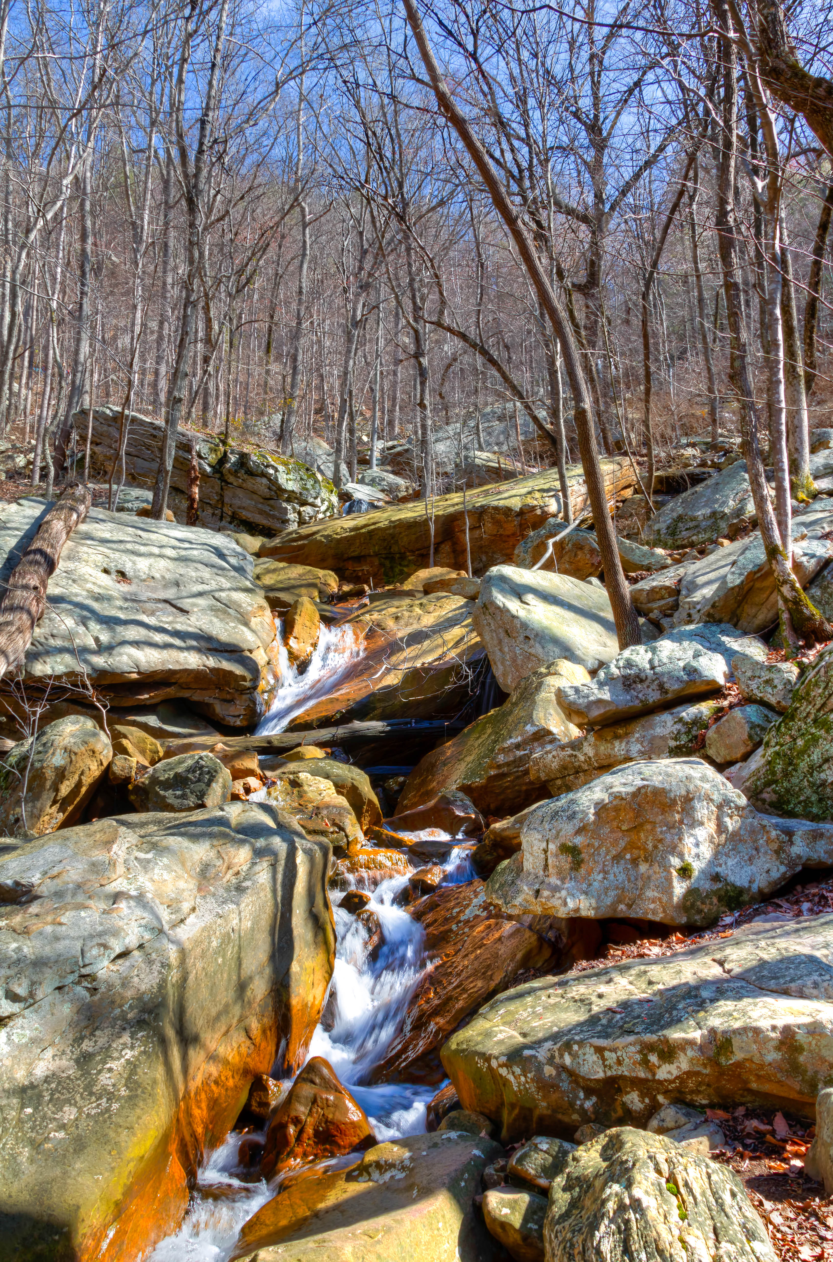
Falling Water Falls, Pickett Gulf, Falling Water Falls State Natural Area, Hamilton County, Tennessee 1
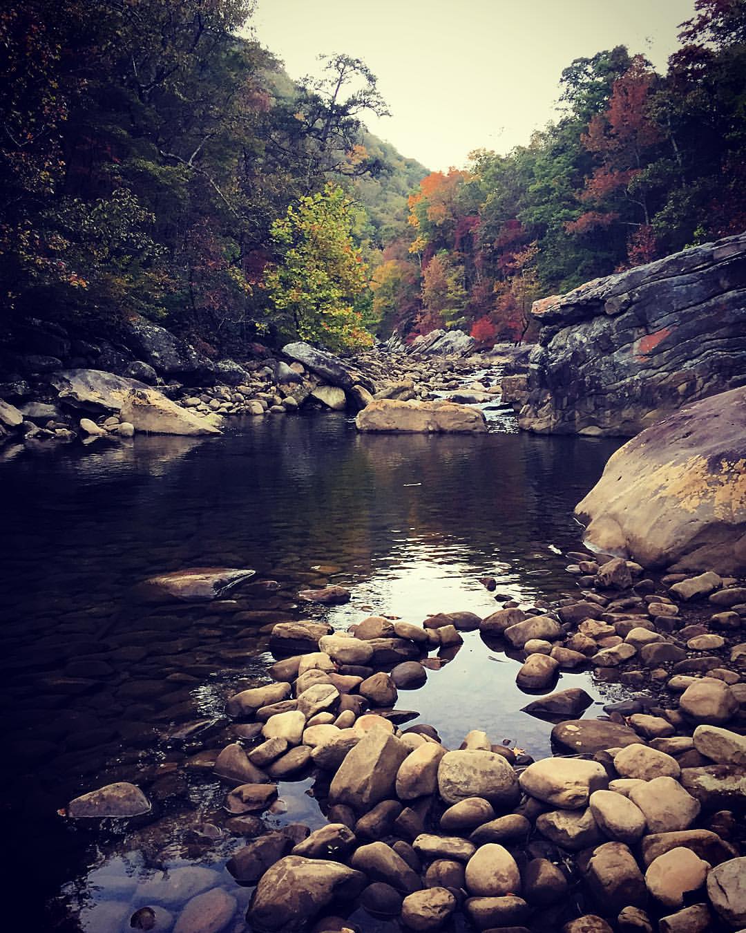
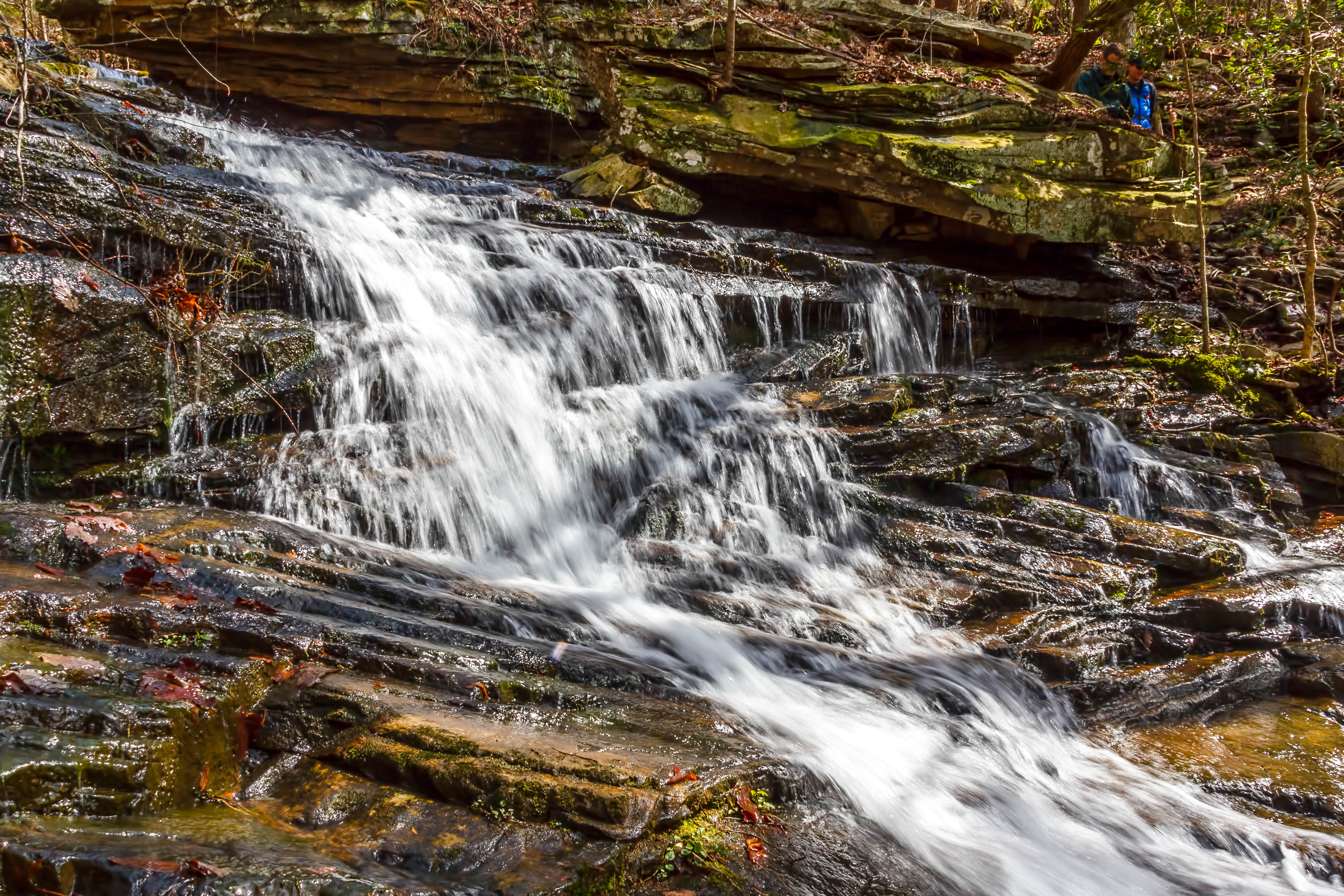
Big Possum Creek - Possum Creek Gorge Section of the Cumberland Trail
Big Possum Creek - Possum Creek Gorge Section of the Cumberland Trail
North Chickamauga Trail Segment of the Cumberland Trail
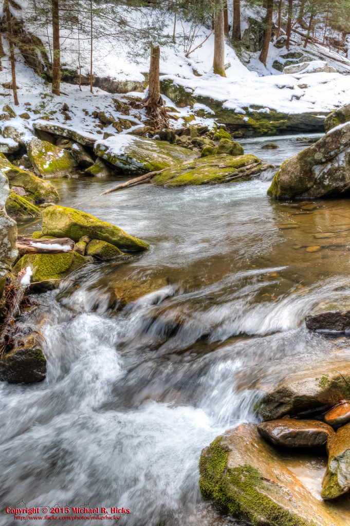
Big Possum Creek - Possum Creek Gorge Section of the Cumberland Trail
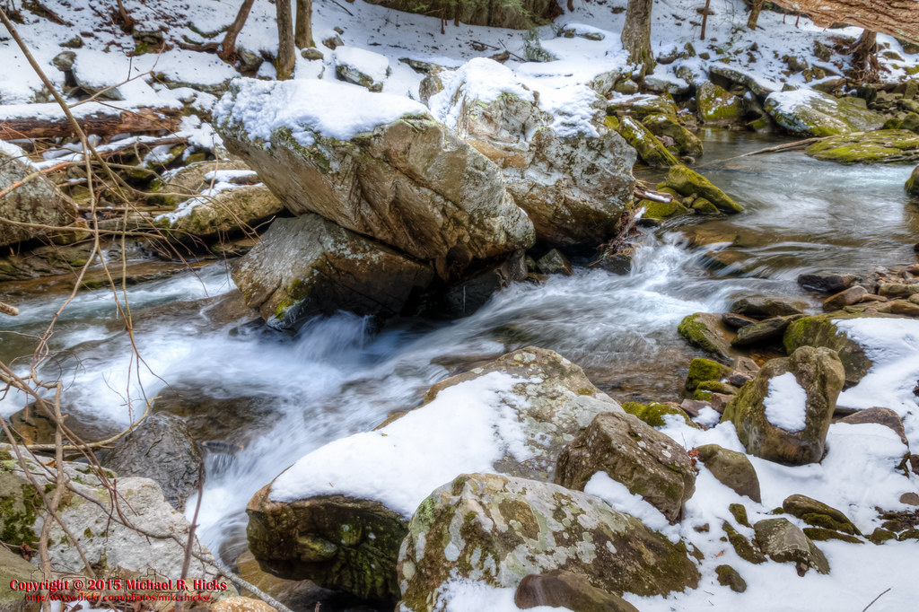
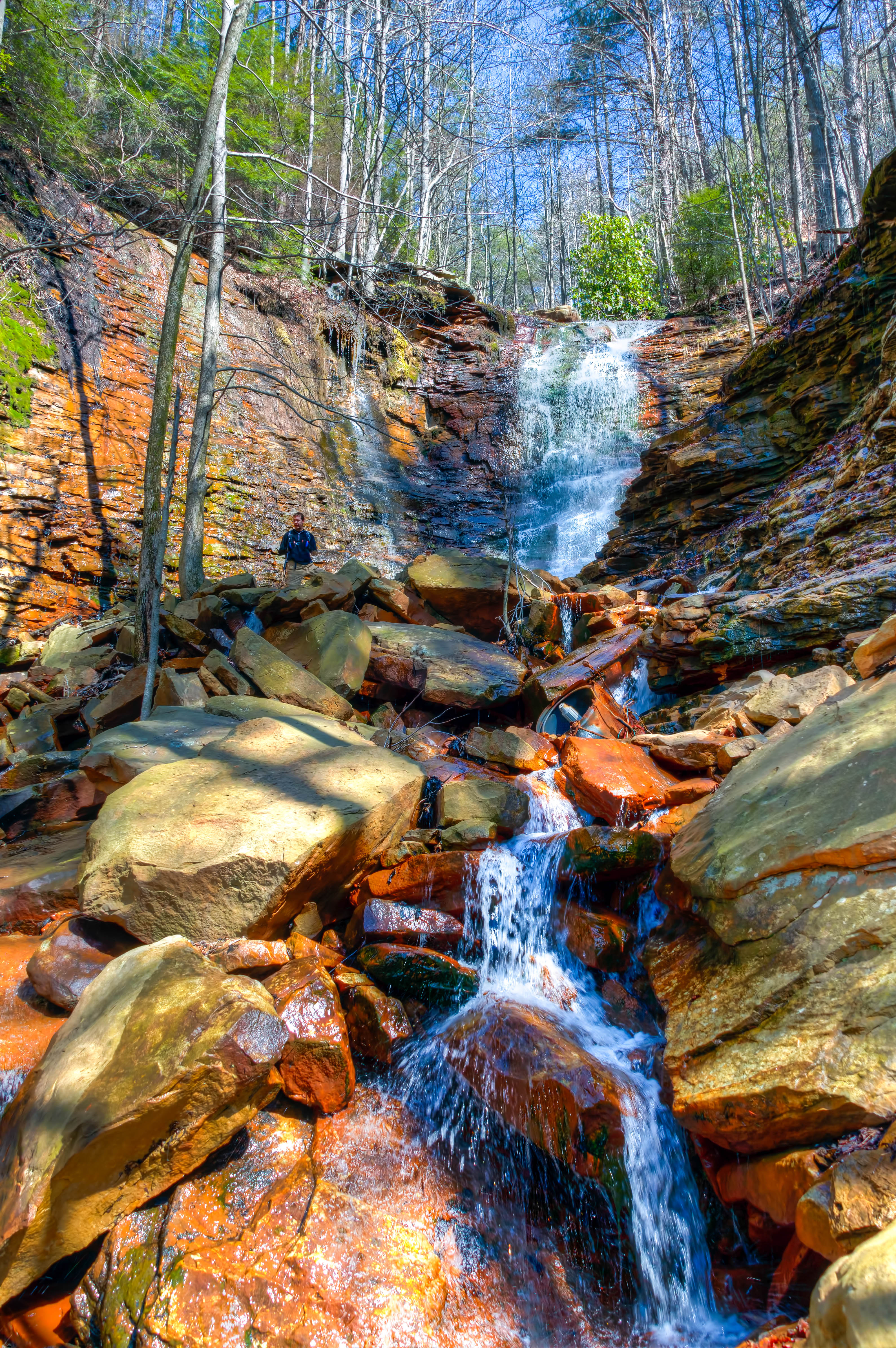
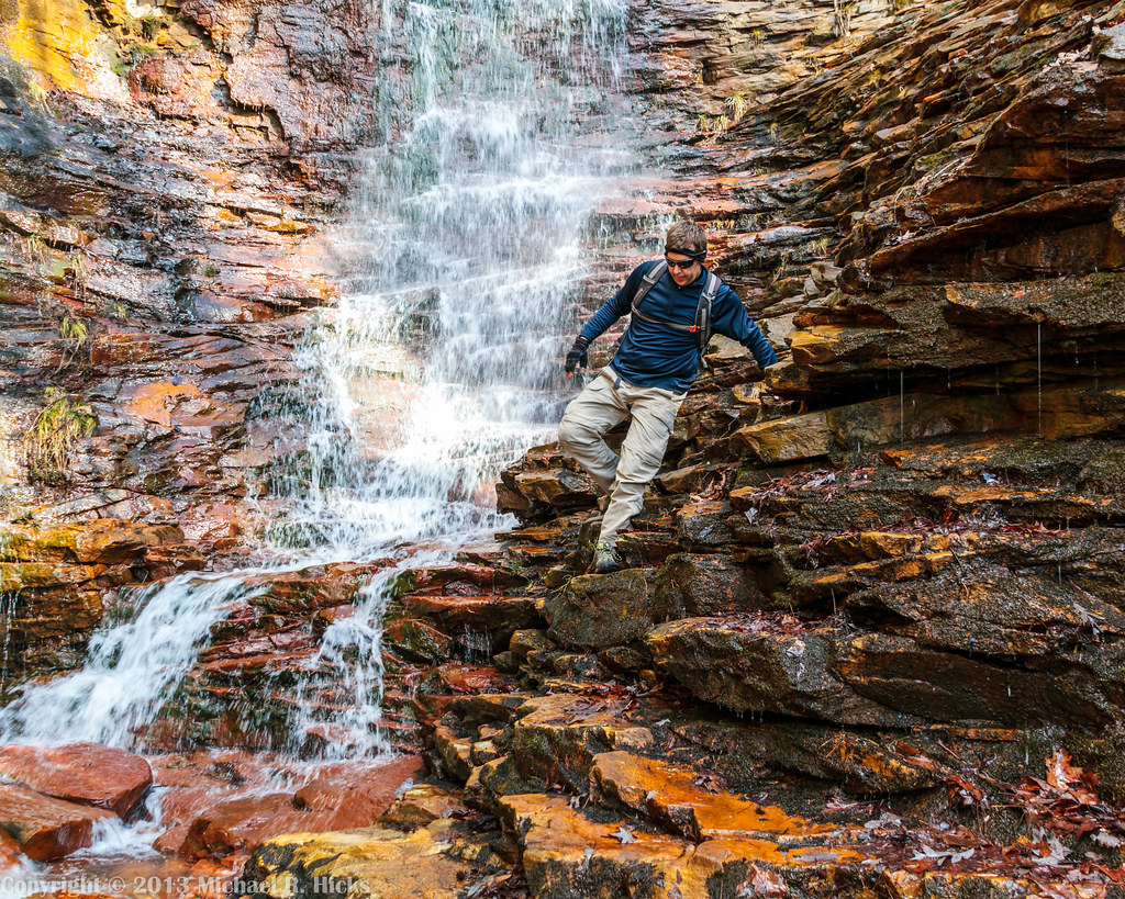
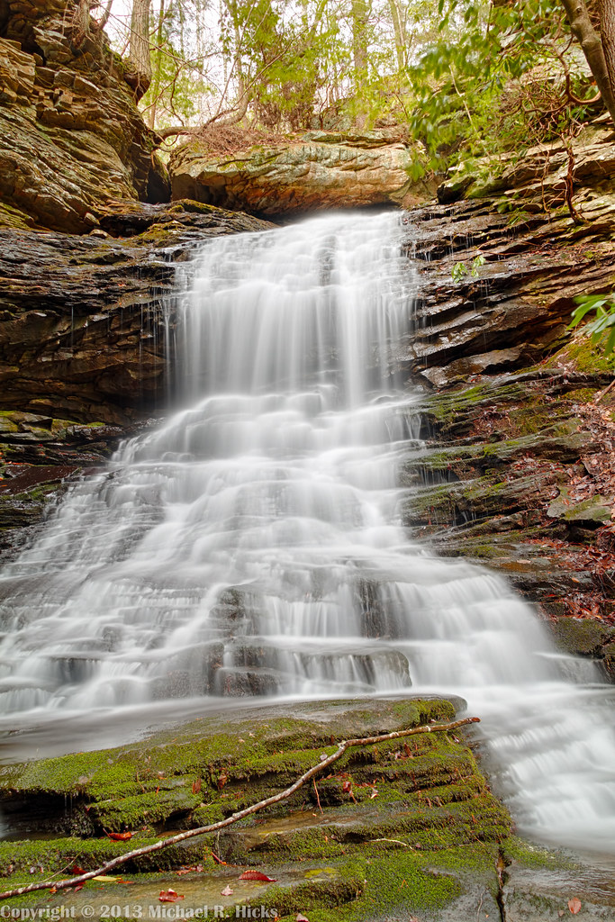
Imodium Falls (Little Possum Creek Falls) - Possum Creek Gorge Section of the Cumberland Trail
Fall is in full force. ????????????????#exploreTN #exploremore #explore #rei #rei1440project #RedefineTheOutdoors #tn #tnwild #tennessee #ighikers #igerstennessee #instagramtennessee #outside #outdoors #OutdoorsUSA #onlyt

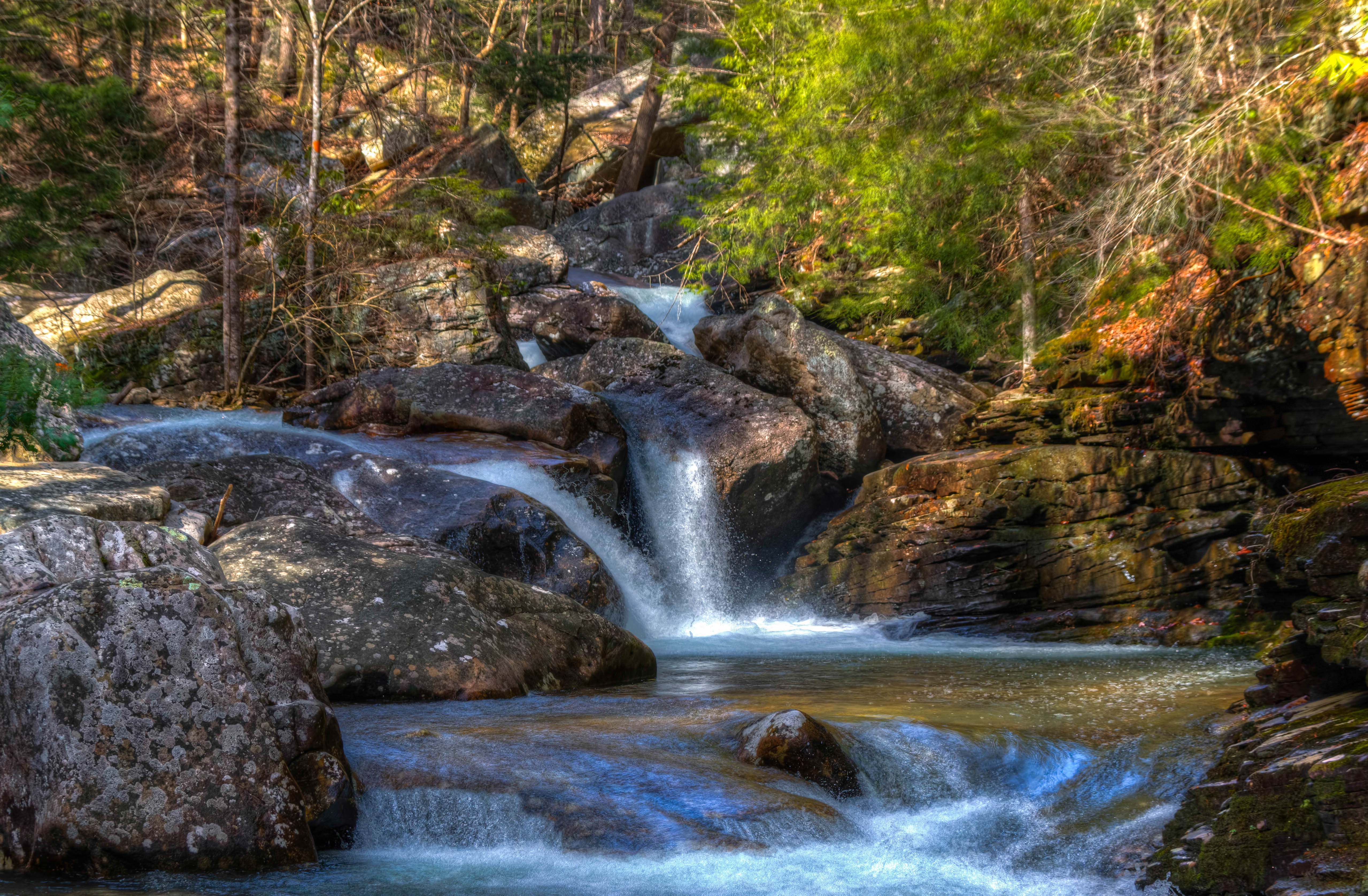
Cooper Creek Falls - North Chickamauga Trail Segment of the Cumberland Trail - February 16, 2013
North Chickamauga Trail Segment of the Cumberland Trail
North Chickamauga Trail Segment of the Cumberland Trail
North Chickamauga Trail Segment of the Cumberland Trail

Great Blue Heron
North Chickamauga Trail Segment of the Cumberland Trail

Cooper Creek Falls - North Chickamauga Trail Segment of the Cumberland Trail - February 16, 2013

North Chickamauga Trail Segment of the Cumberland Trail - February 16, 2013
North Chickamauga Trail Segment of the Cumberland Trail
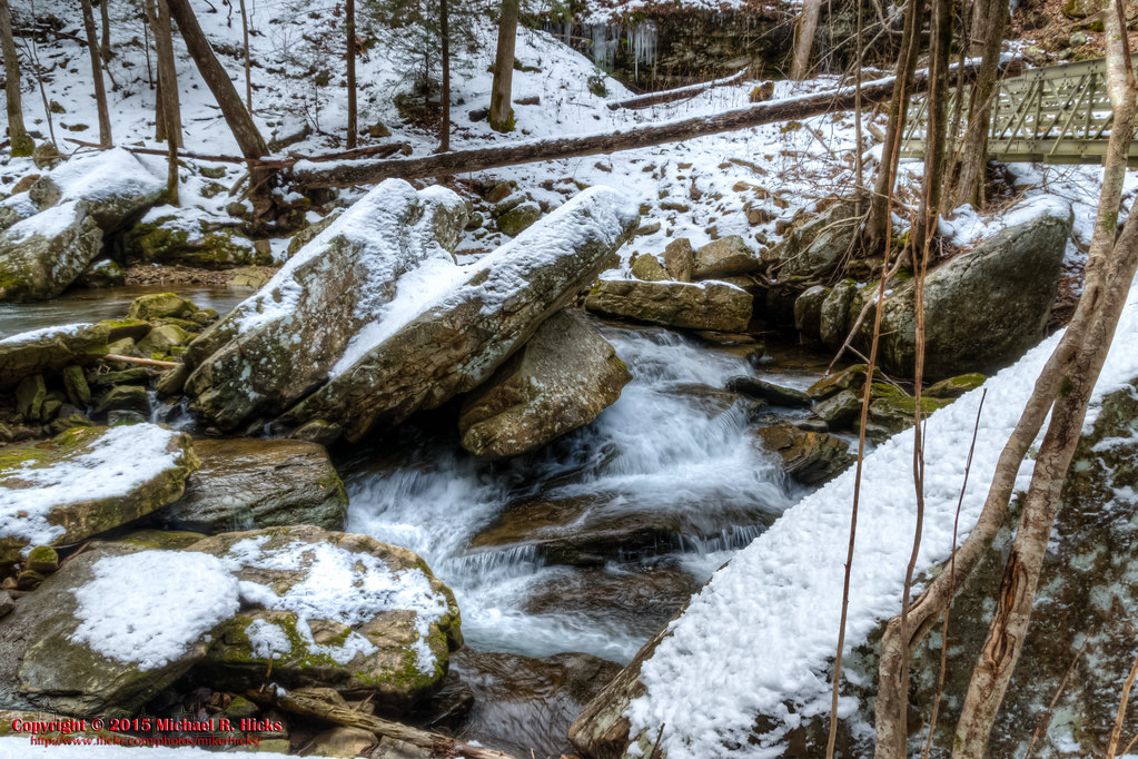
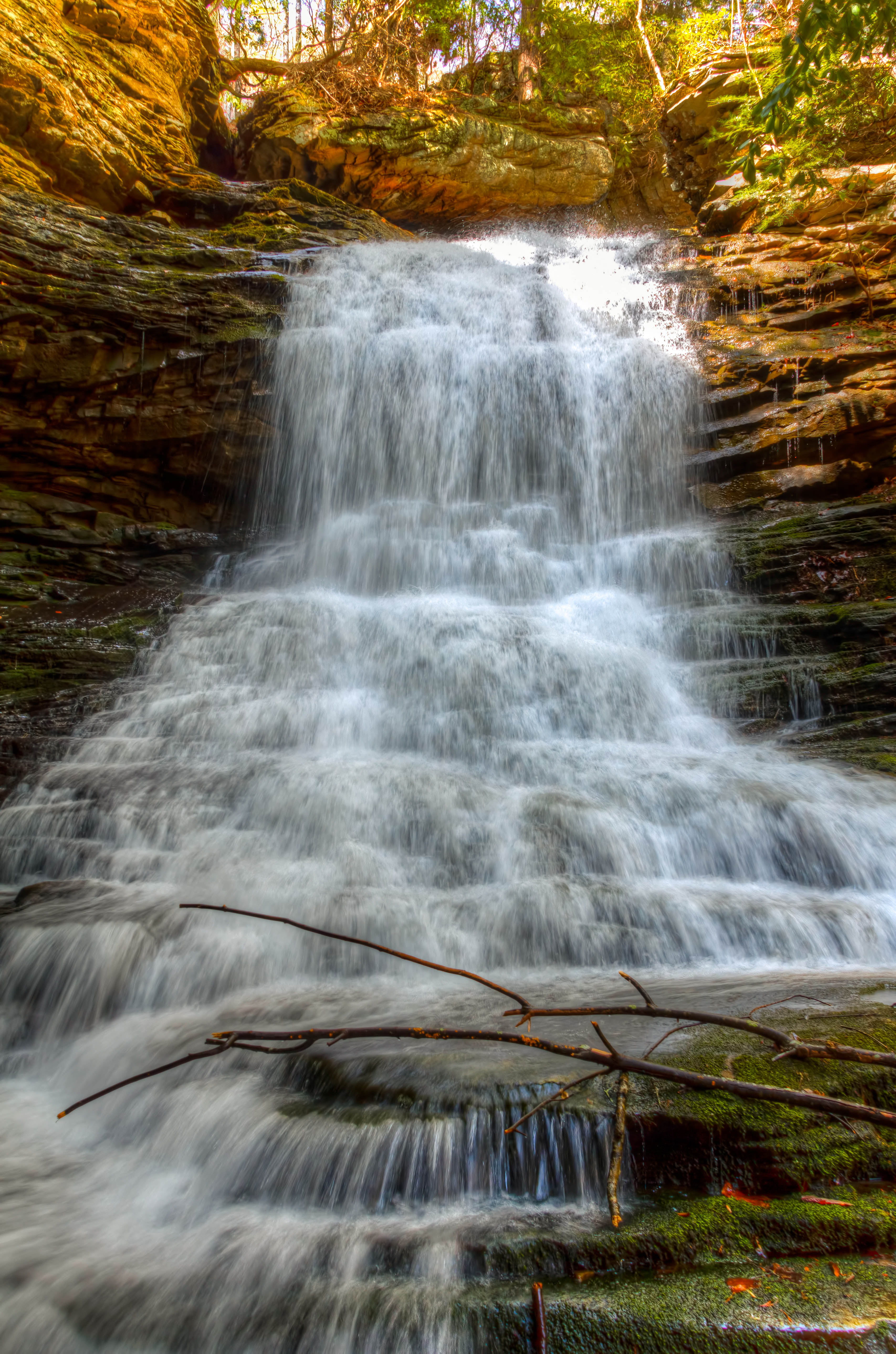
Stripmine Falls - North Chickamauga Trail Segment of the Cumberland Trail - February 16, 2013
North Chickamauga Trail Segment of the Cumberland Trail
Cooper Creek Falls - North Chickamauga Trail Segment of the Cumberland Trail - February 16, 2013
North Chickamauga Trail Segment of the Cumberland Trail
Topographic Map of Montlake Rd, Soddy-Daisy, TN, USA
Find elevation by address:

Places near Montlake Rd, Soddy-Daisy, TN, USA:
9700 Millsaps Coal Rd
428 Mowbray Pike
919 Sandstone Terrace
Montlake
Terrace Falls Drive
8818 Terrace Falls Dr
911 Rose Marie Ct
8704 Brow Lake Rd
Hamilton Avenue
1001 Montlake Rd
1001 Montlake Rd
8618 Brow Lake Rd
Dayton Pike, Soddy-Daisy, TN, USA
Soddy-daisy
2216 Poe Rd
Soddy Daisy High School
2447 Co Hwy 1126
2717 Welch Rd
Poe Road
8620 Brookplace Dr
Recent Searches:
- Elevation of Corso Fratelli Cairoli, 35, Macerata MC, Italy
- Elevation of Tallevast Rd, Sarasota, FL, USA
- Elevation of 4th St E, Sonoma, CA, USA
- Elevation of Black Hollow Rd, Pennsdale, PA, USA
- Elevation of Oakland Ave, Williamsport, PA, USA
- Elevation of Pedrógão Grande, Portugal
- Elevation of Klee Dr, Martinsburg, WV, USA
- Elevation of Via Roma, Pieranica CR, Italy
- Elevation of Tavkvetili Mountain, Georgia
- Elevation of Hartfords Bluff Cir, Mt Pleasant, SC, USA