Elevation of Little Bend Rd, Signal Mountain, TN, USA
Location: United States > Tennessee > Hamilton County > Signal Mountain >
Longitude: -85.264338
Latitude: 35.2474995
Elevation: 515m / 1690feet
Barometric Pressure: 95KPa
Elevation Map:
Satellite Map:
Related Photos:

Middle Creek Bridge, Rainbow Lake Trail - Signal Mountain, Tennessee

Toxicodendron radicans (Poison Ivy) Anacardiaceae

Week 42: Orange

Calycanthus floridus (Sweetshrub, Carolina Allspice) Calycanthaceae
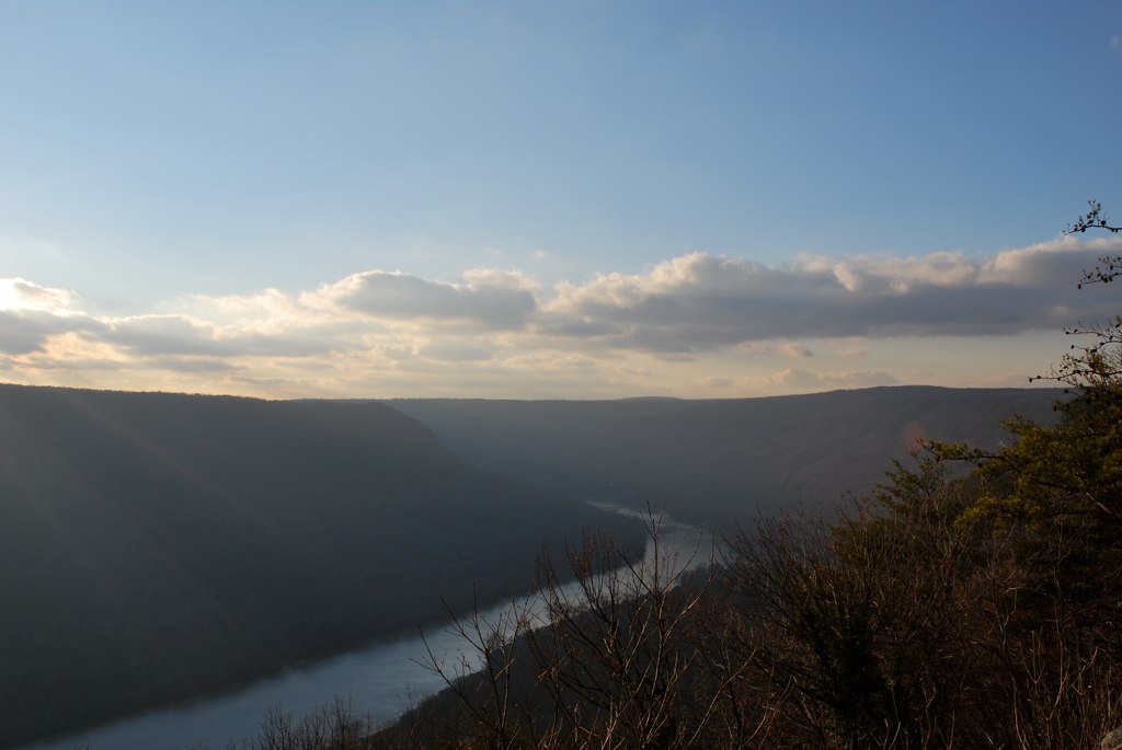
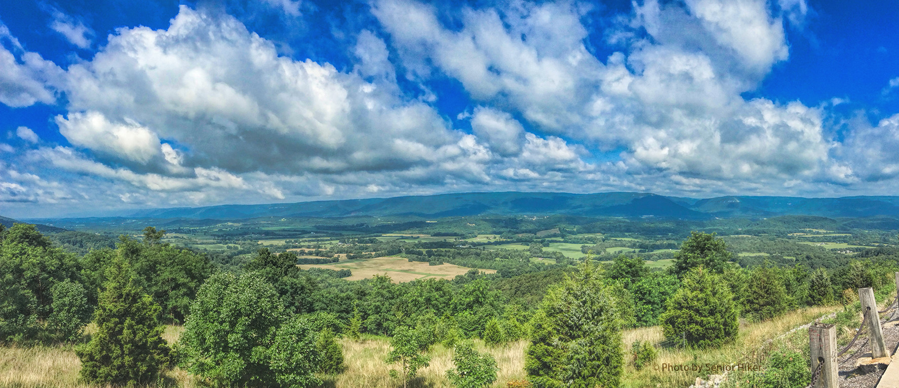
The View from Signal Mountain
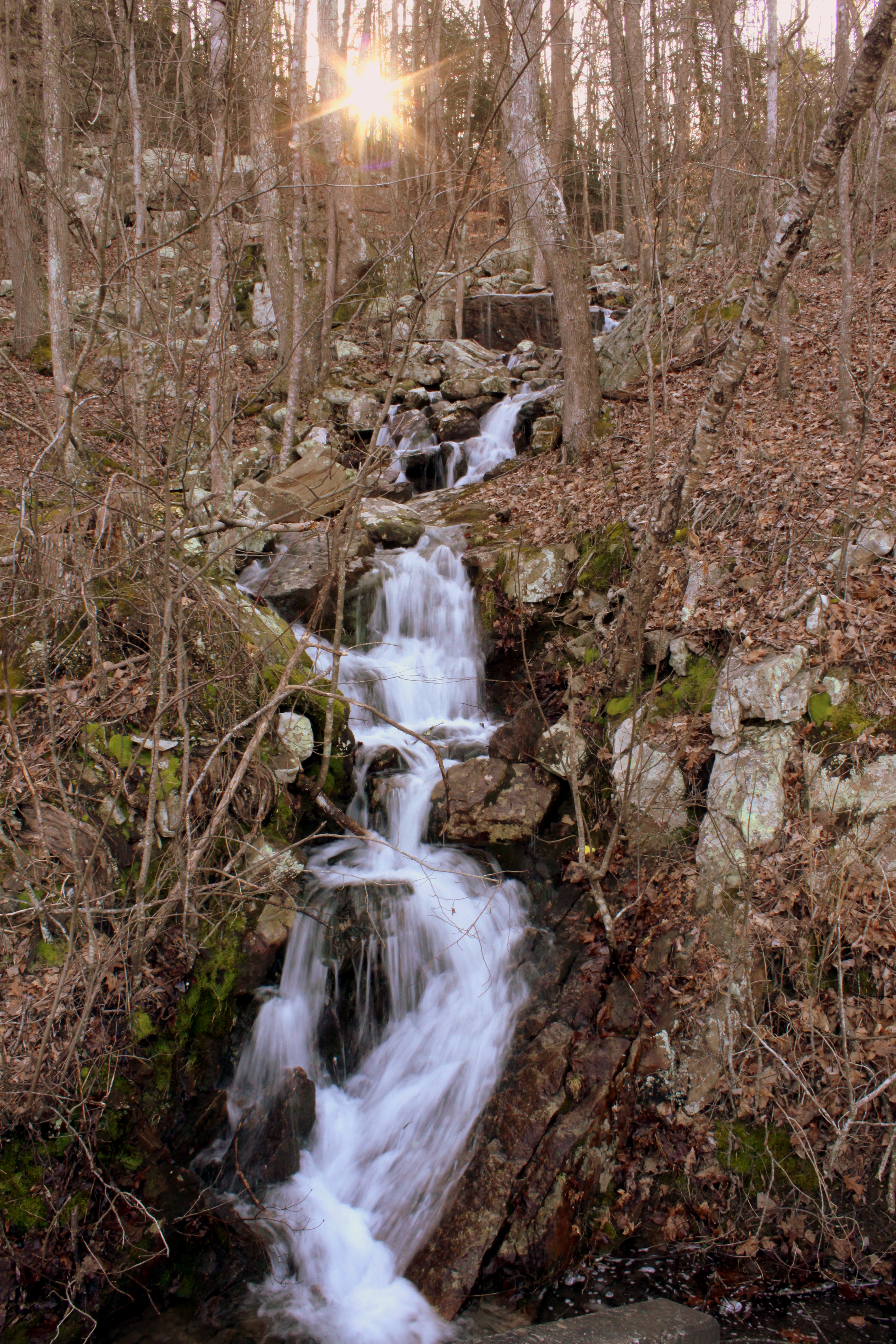
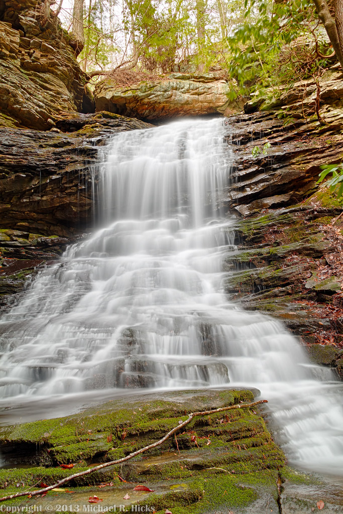
Unnamed waterfall one seen along the old Dixie Highway

WBrowSignalMtn-4

The View from Signal Mountain

WBrowSignalMtn-1

WBrowSignalMtn-2

@xpectopatronum on the hang gliding ramp. #babe #model #portrait #tennessee #view #sequatchievalley

WBrowSignalMtn-5

The Rock
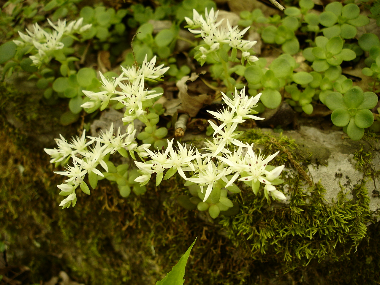
Sedum ternatum (Stonecrop) Crassulaceae

Falling Water Presbyterian Church

Hogskin Branch

Recording Haven for your viewing pleasure today @ 2.
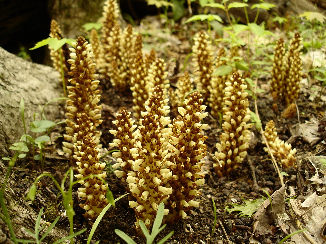
Conopholis americana (American Cancer-root) Orobanchaceae
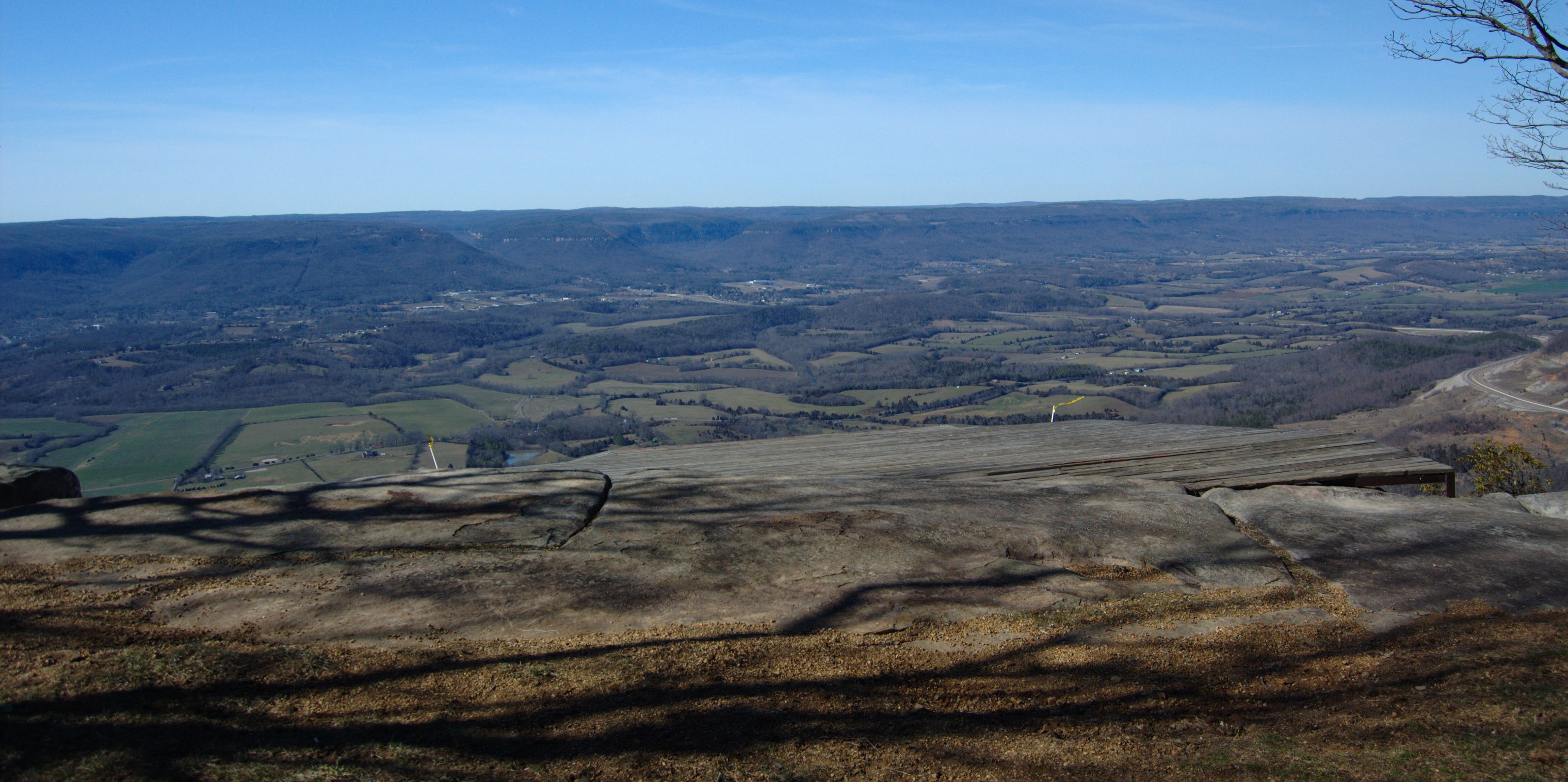
Sequatchie Valley

Toxicodendron radicans (Poison Ivy) Anacardiaceae

Halesia tetraptera (Silverbell) Styracaceae

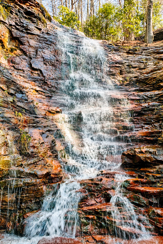
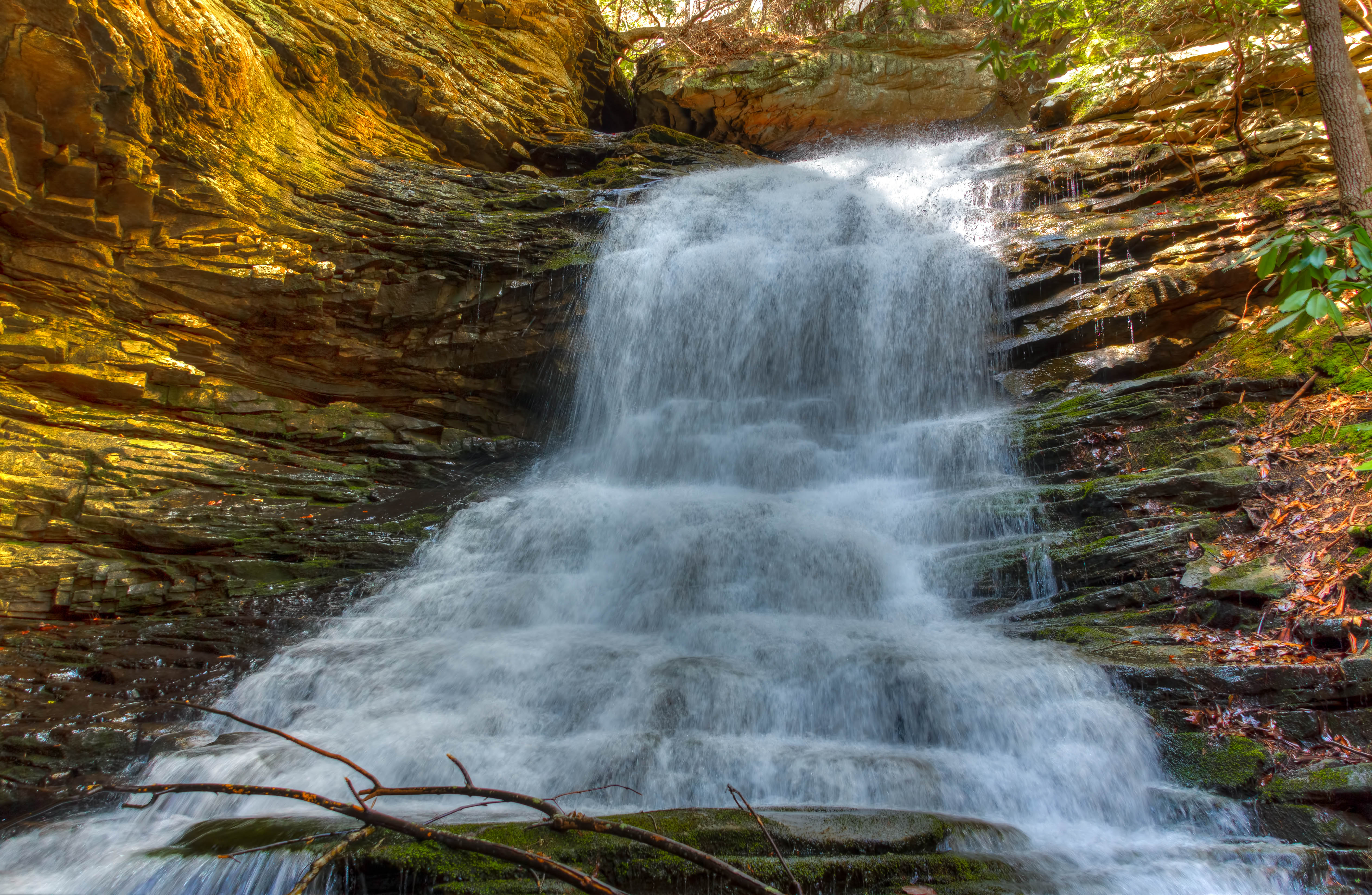
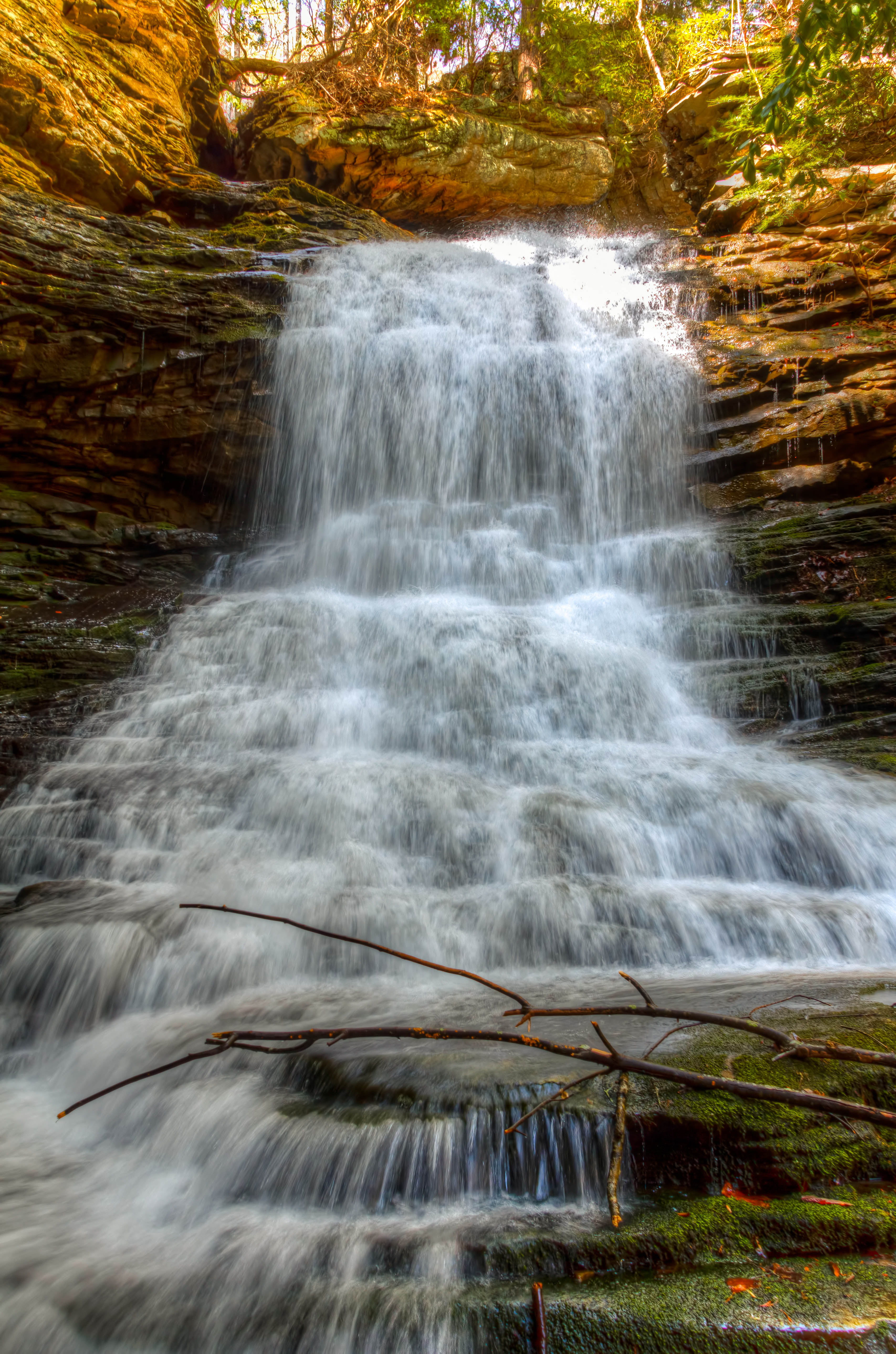
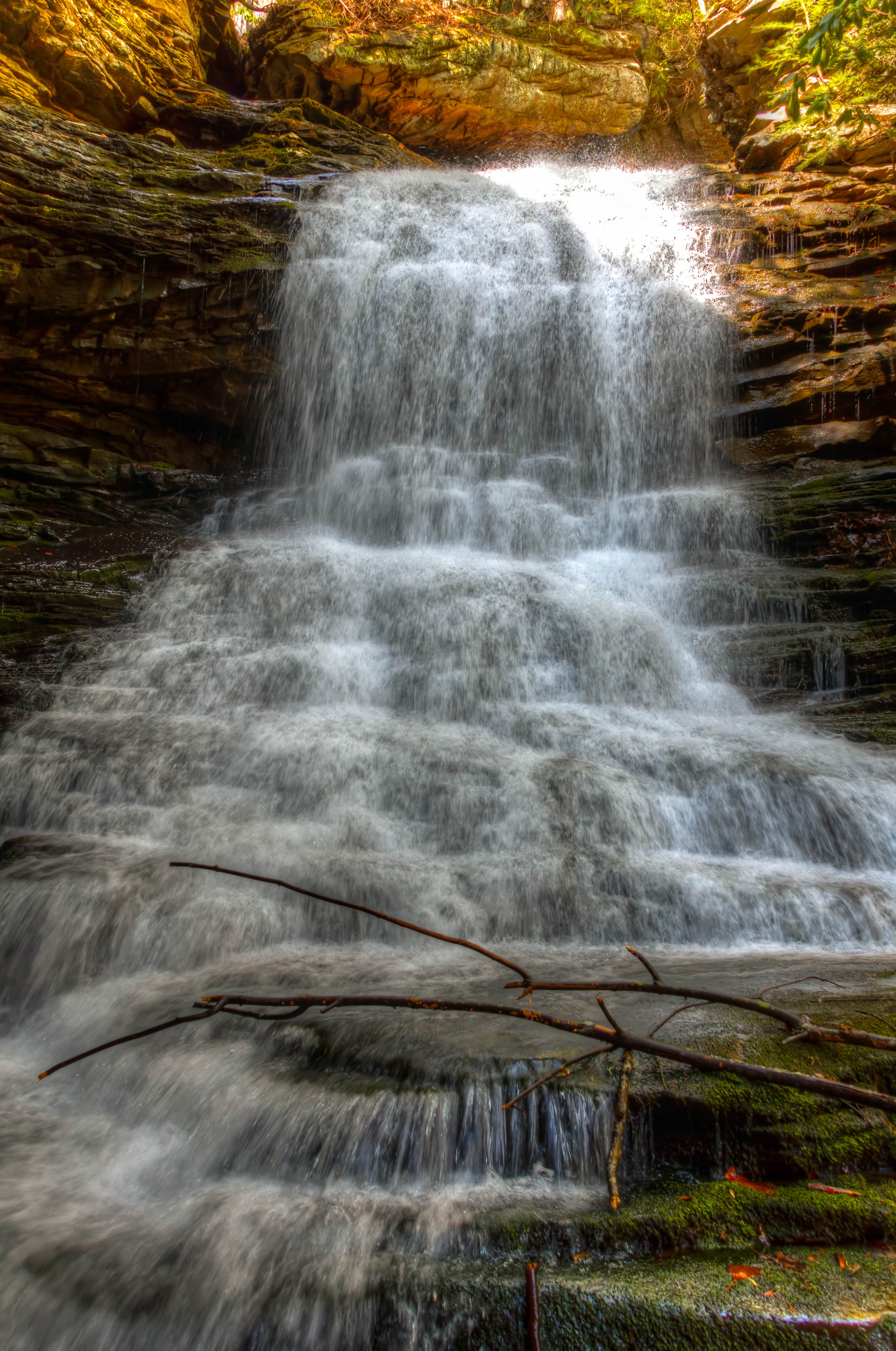
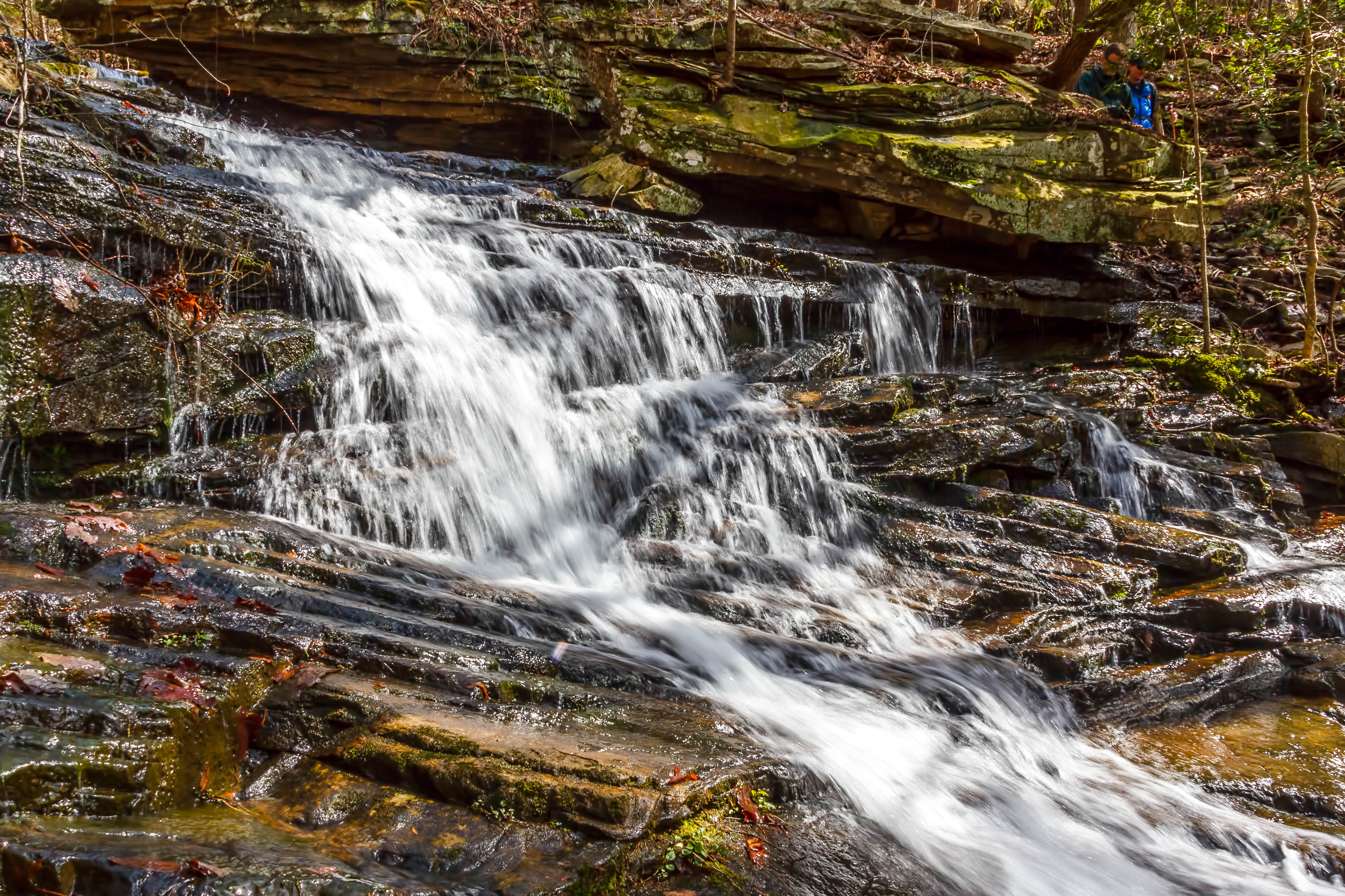
Cooper Creek Falls - North Chickamauga Trail Segment of the Cumberland Trail - February 16, 2013

Cooper Creek Falls - North Chickamauga Trail Segment of the Cumberland Trail - February 16, 2013
Cooper Creek Falls - North Chickamauga Trail Segment of the Cumberland Trail - February 16, 2013
Falling Water Falls, Pickett Gulf, Falling Water Falls State Natural Area, Hamilton County, Tennessee 1

Stripmine Falls - North Chickamauga Trail Segment of the Cumberland Trail - February 16, 2013

Stripmine Falls - North Chickamauga Trail Segment of the Cumberland Trail - February 16, 2013
Stripmine Falls - North Chickamauga Trail Segment of the Cumberland Trail - February 16, 2013

Middle Creek Bridge

Sunset in Sequatchie Valley
The Sequatchie Valley as seen fron an overlook near Dunlap, Tennessee. July 15, 2015.

Caution: Boulder

Great Blue Heron

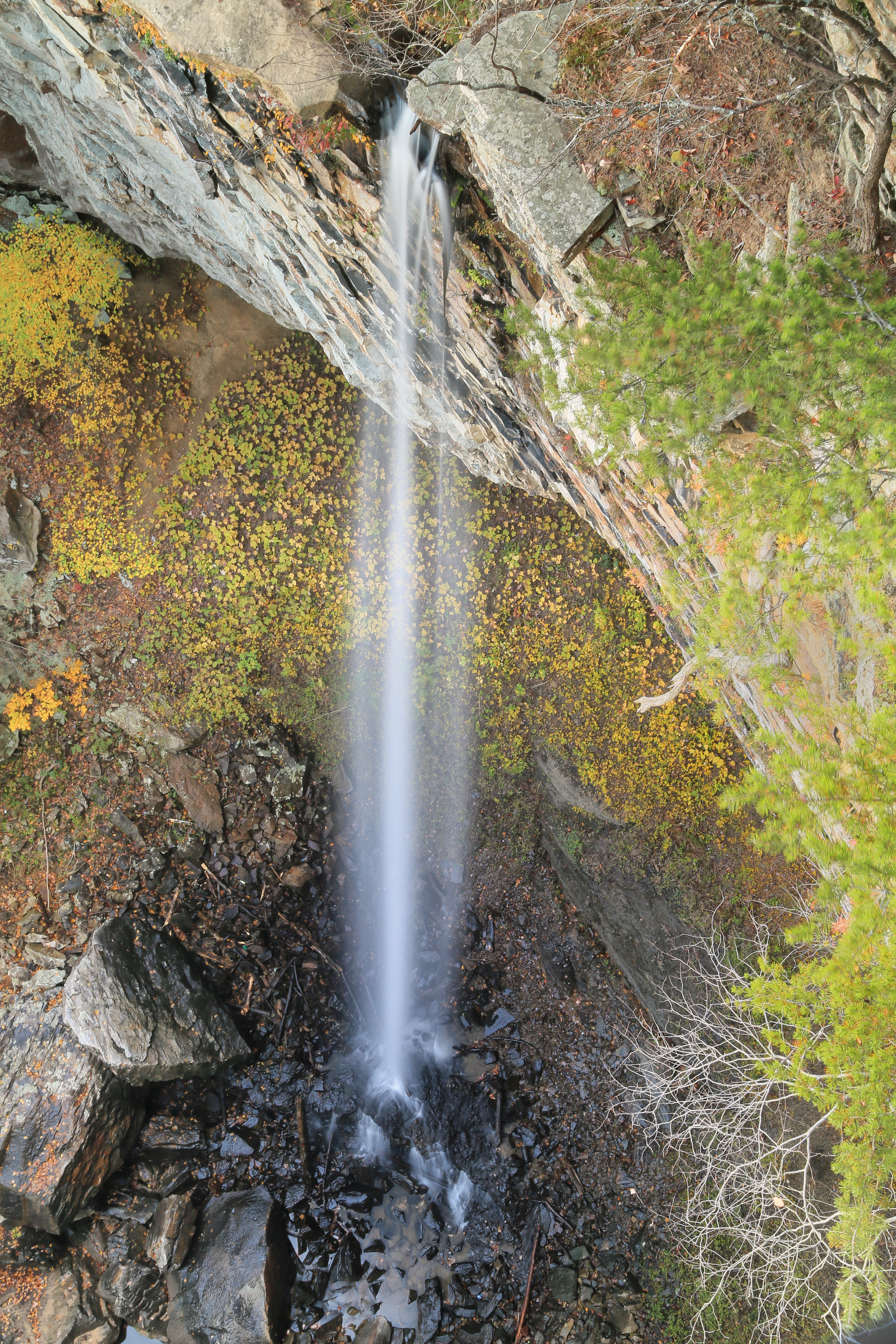
Imodium Falls (Little Possum Creek Falls) - Possum Creek Gorge Section of the Cumberland Trail
North Chickamauga Trail Segment of the Cumberland Trail
North Chickamauga Trail Segment of the Cumberland Trail

North Chickamauga Trail Segment of the Cumberland Trail
North Chickamauga Trail Segment of the Cumberland Trail

North Chickamauga Trail Segment of the Cumberland Trail - February 16, 2013
North Chickamauga Trail Segment of the Cumberland Trail

North Chickamauga Trail Segment of the Cumberland Trail

North Chickamauga Trail Segment of the Cumberland Trail
Topographic Map of Little Bend Rd, Signal Mountain, TN, USA
Find elevation by address:

Places near Little Bend Rd, Signal Mountain, TN, USA:
2300 Little Bend Rd
Little Bend Road
2318 Little Bend Rd
1510 Laurel Breeze Ln
2216 Poe Rd
7626 Sawyer Rd
1453 Roberts Mill Rd
Poe Road
1001 Montlake Rd
1001 Montlake Rd
8618 Brow Lake Rd
Montlake
8704 Brow Lake Rd
2447 Co Hwy 1126
7714 Selcer Rd
911 Rose Marie Ct
Falling Water Road
Roberts Mill Rd, Hixson, TN, USA
205 Johnson Rd
8818 Terrace Falls Dr
Recent Searches:
- Elevation of Groblershoop, South Africa
- Elevation of Power Generation Enterprises | Industrial Diesel Generators, Oak Ave, Canyon Country, CA, USA
- Elevation of Chesaw Rd, Oroville, WA, USA
- Elevation of N, Mt Pleasant, UT, USA
- Elevation of 6 Rue Jules Ferry, Beausoleil, France
- Elevation of Sattva Horizon, 4JC6+G9P, Vinayak Nagar, Kattigenahalli, Bengaluru, Karnataka, India
- Elevation of Great Brook Sports, Gold Star Hwy, Groton, CT, USA
- Elevation of 10 Mountain Laurels Dr, Nashua, NH, USA
- Elevation of 16 Gilboa Ln, Nashua, NH, USA
- Elevation of Laurel Rd, Townsend, TN, USA