Elevation of Sevier St, Hixson, TN, USA
Location: United States > Tennessee > Hamilton County > Middle Valley >
Longitude: -85.200717
Latitude: 35.2023646
Elevation: 241m / 791feet
Barometric Pressure: 98KPa
Elevation Map:
Satellite Map:
Related Photos:
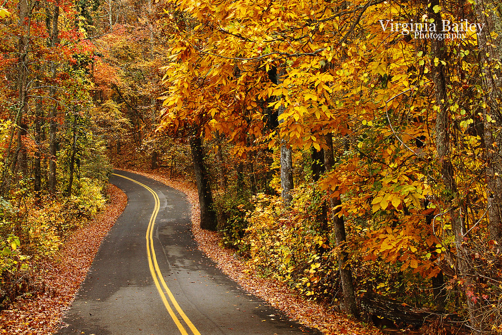
Week 42: Orange

Toxicodendron radicans (Poison Ivy) Anacardiaceae

Falling Water Presbyterian Church

View from the cab of Southern 630.

Cloud Ship???
WBrowSignalMtn-4

WBrowSignalMtn-5
The Rock

WBrowSignalMtn-1

Lake view

WBrowSignalMtn-2

The View

Sedum ternatum (Stonecrop) Crassulaceae

Conopholis americana (American Cancer-root) Orobanchaceae

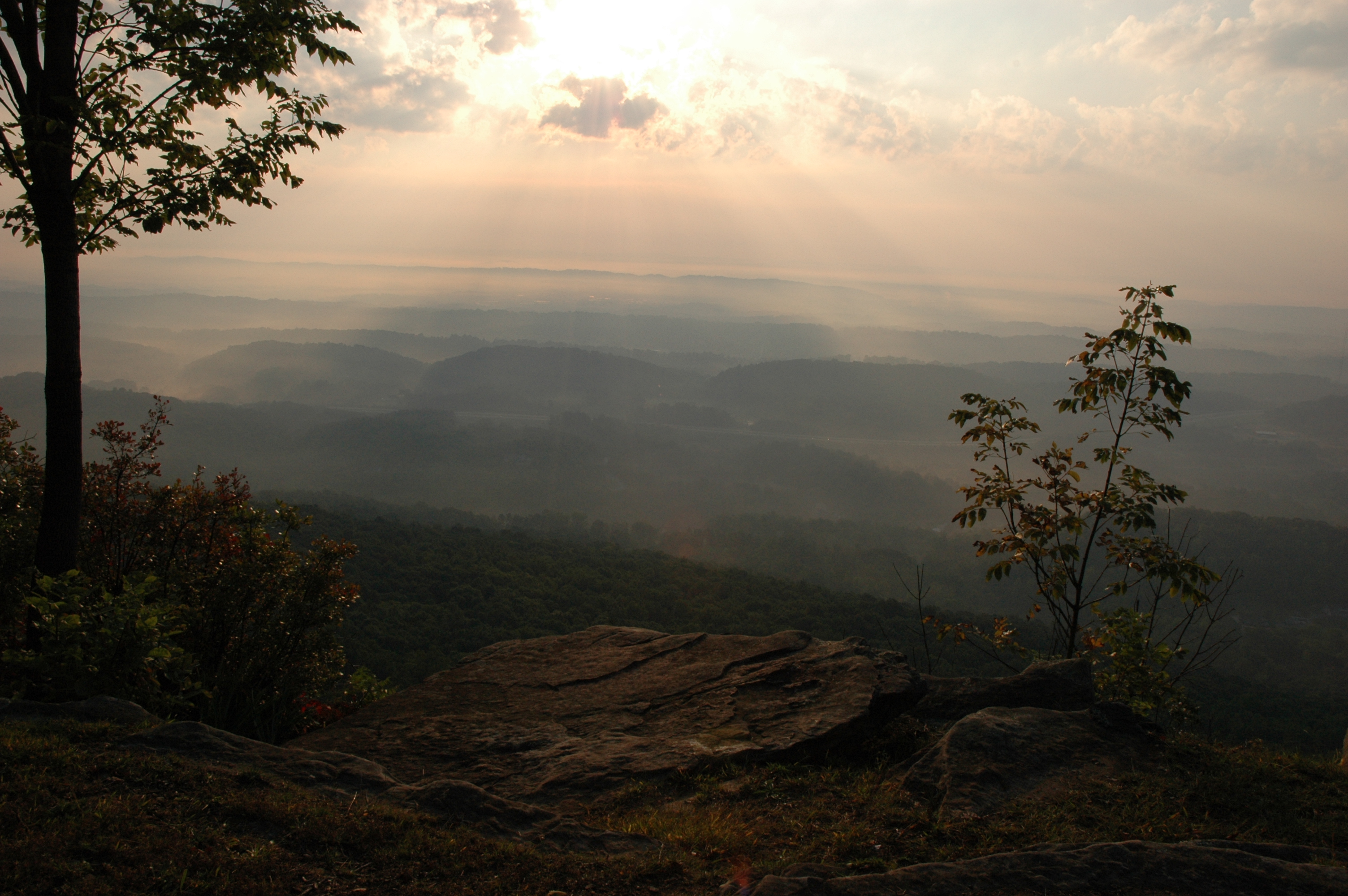
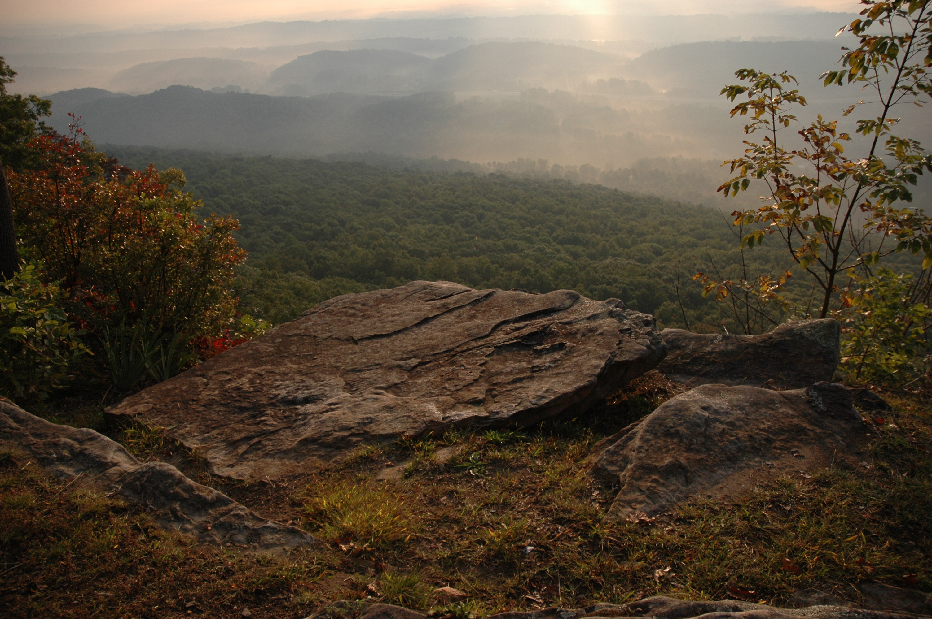
The View from Signal Mountain

Snow 2014

The View from Signal Mountain

ww scoter male Chickamauga2

Halesia tetraptera (Silverbell) Styracaceae

The View from Signal Mountain

Toxicodendron radicans (Poison Ivy) Anacardiaceae

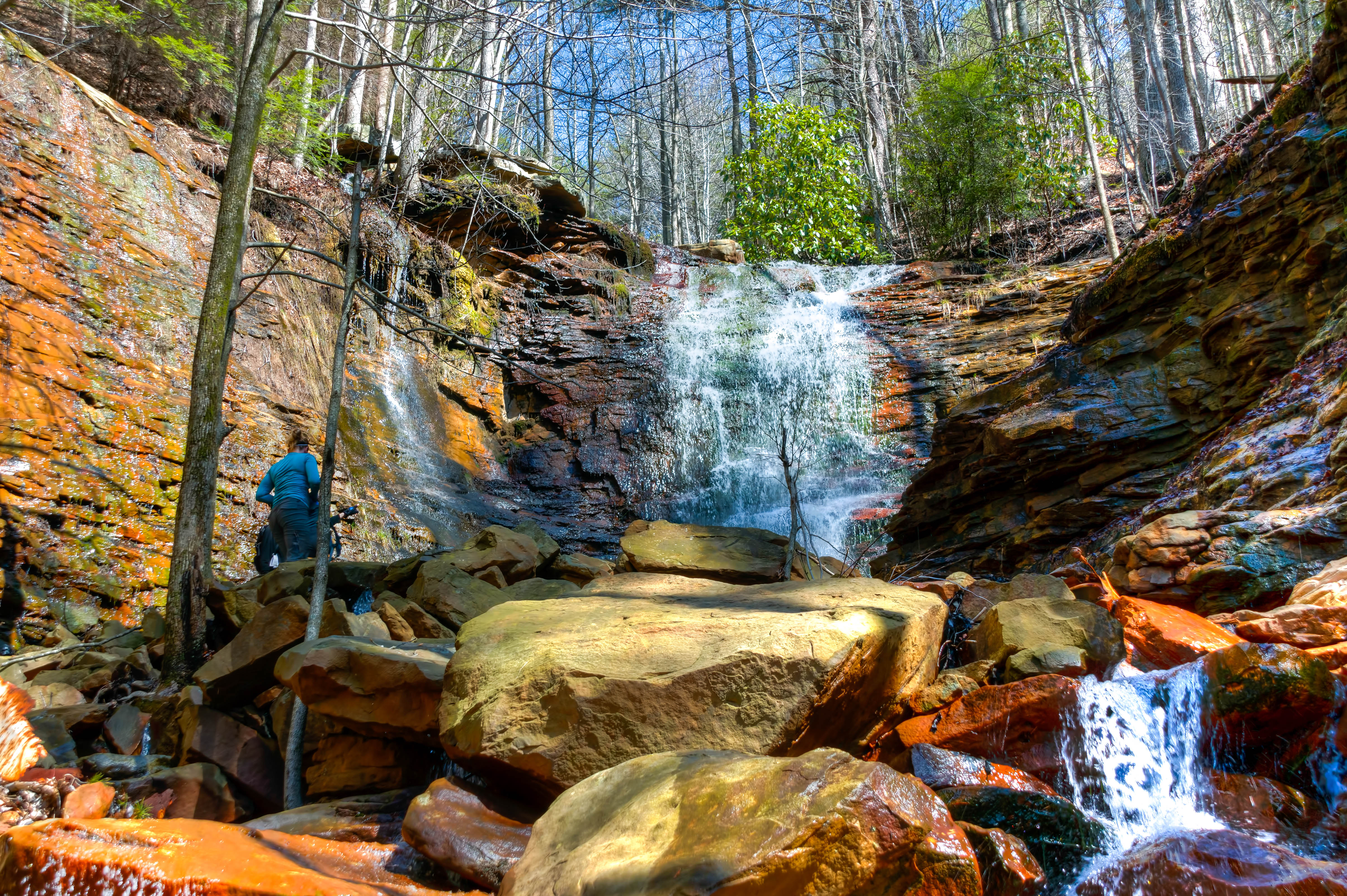
Cooper Creek Falls - North Chickamauga Trail Segment of the Cumberland Trail - February 16, 2013

Chickamauga Dam

Another awesome day for soccer in #CHA

Caution: Boulder
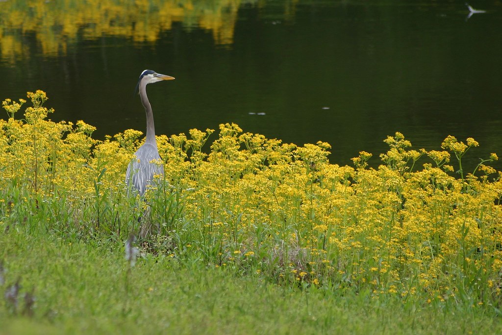
Great Blue Heron

Beautiful day for a soccer match ...

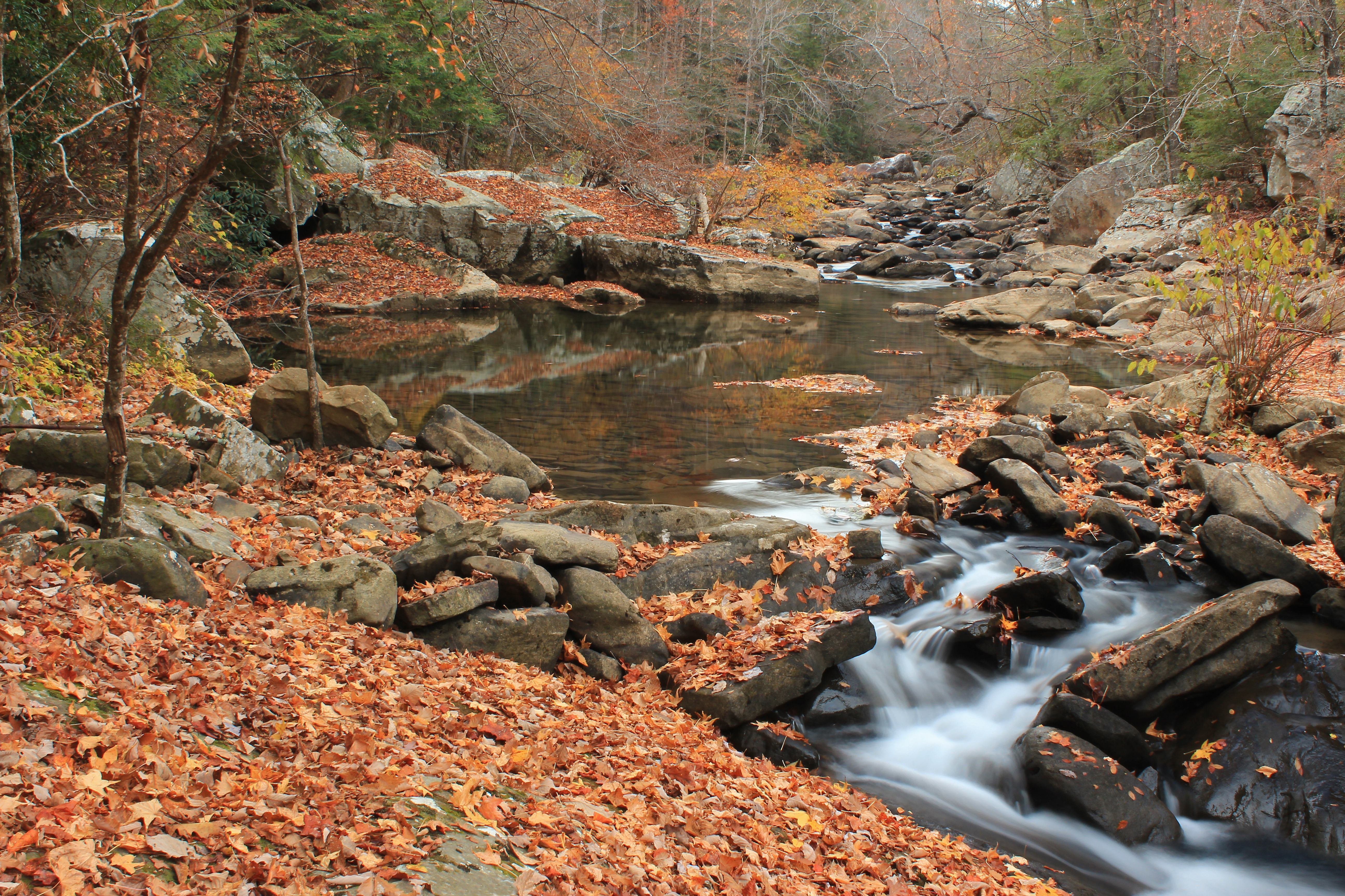
North Chickamauga Trail Segment of the Cumberland Trail

NS 123, Chattanooga, TN
Cooper Creek Falls - North Chickamauga Trail Segment of the Cumberland Trail - February 16, 2013

North Chickamauga Trail Segment of the Cumberland Trail

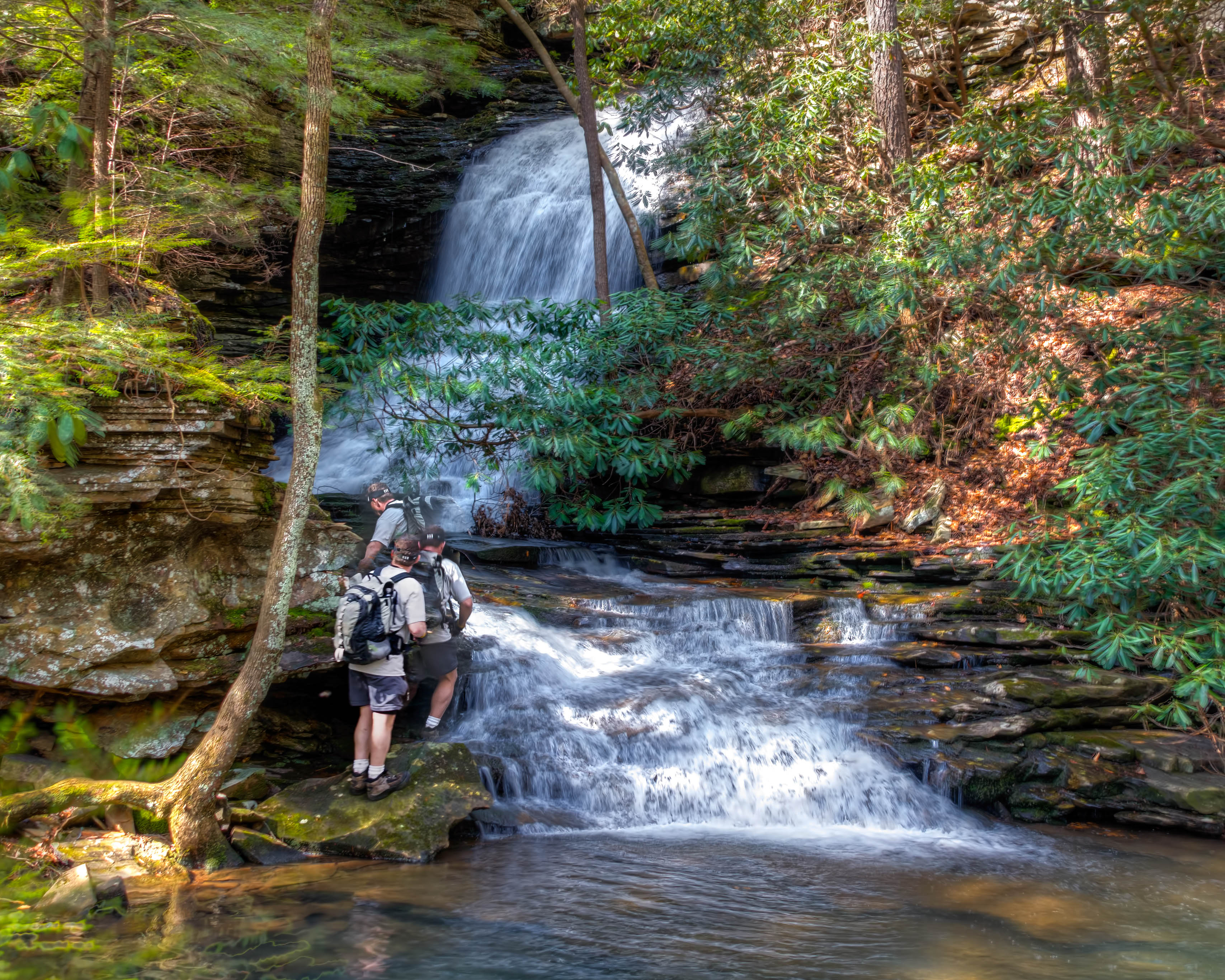
North Chickamauga Trail Segment of the Cumberland Trail - February 16, 2013

North Chickamauga Trail Segment of the Cumberland Trail

North Chickamauga Trail Segment of the Cumberland Trail
North Chickamauga Trail Segment of the Cumberland Trail
Soddy Creek, Cumberland Trail State Park, Hamilton County, Tennessee 1

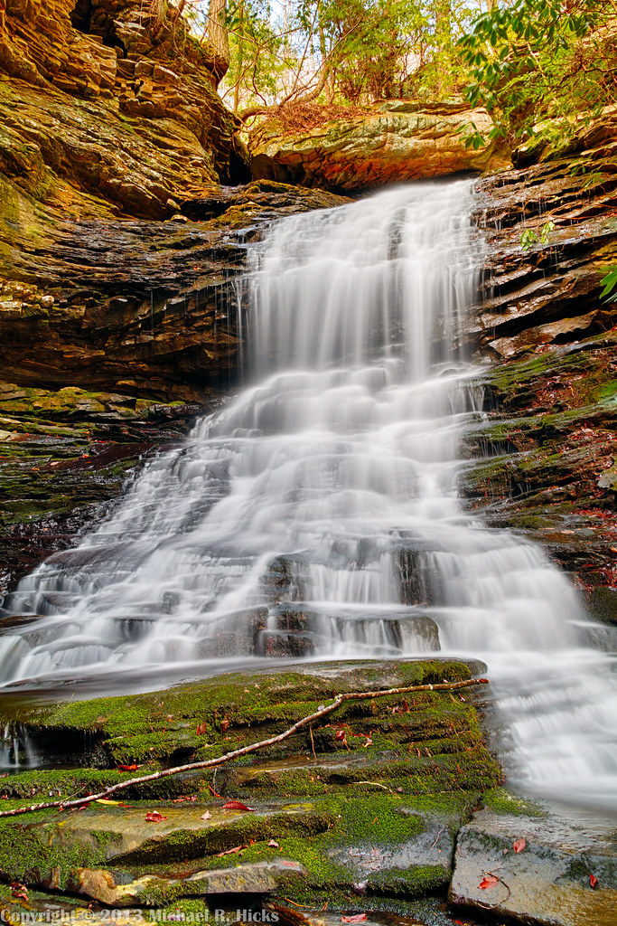
Stripmine Falls - North Chickamauga Trail Segment of the Cumberland Trail - February 16, 2013

On a hill far away is where I'll be

Stripmine Falls - North Chickamauga Trail Segment of the Cumberland Trail - February 16, 2013

Stripmine Falls - North Chickamauga Trail Segment of the Cumberland Trail - February 16, 2013

Fall is in full force. ????????????????#exploreTN #exploremore #explore #rei #rei1440project #RedefineTheOutdoors #tn #tnwild #tennessee #ighikers #igerstennessee #instagramtennessee #outside #outdoors #OutdoorsUSA #onlyt
North Chickamauga Trail Segment of the Cumberland Trail
Topographic Map of Sevier St, Hixson, TN, USA
Find elevation by address:

Places near Sevier St, Hixson, TN, USA:
Rockdale Ln, Hixson, TN, USA
8620 Brookplace Dr
816 Brook Run Dr
1528 W Crabtree Rd
Middle Valley
810 S Valleywood Cir
Shadwick Cemetery
914 Spurling Dr
916 Spurling Dr
918 Spurling Dr
920 Spurling Dr
922 Spurling Dr
McCormack Dr, Hixson, TN, USA
Save-a-lot
205 Johnson Rd
233 Dolores Dr
Soddy-daisy
Soddy Daisy High School
Hamilton Avenue
8818 Terrace Falls Dr
Recent Searches:
- Elevation of Unnamed Road, Respublika Severnaya Osetiya — Alaniya, Russia
- Elevation of Verkhny Fiagdon, North Ossetia–Alania Republic, Russia
- Elevation of F. Viola Hiway, San Rafael, Bulacan, Philippines
- Elevation of Herbage Dr, Gulfport, MS, USA
- Elevation of Lilac Cir, Haldimand, ON N3W 2G9, Canada
- Elevation of Harrod Branch Road, Harrod Branch Rd, Kentucky, USA
- Elevation of Wyndham Grand Barbados Sam Lords Castle All Inclusive Resort, End of Belair Road, Long Bay, Bridgetown Barbados
- Elevation of Iga Trl, Maggie Valley, NC, USA
- Elevation of N Co Rd 31D, Loveland, CO, USA
- Elevation of Lindever Ln, Palmetto, FL, USA