Elevation of Millers Landing Rd, Meridian, CA, USA
Location: United States > California > Sutter County > Meridian >
Longitude: -121.84351
Latitude: 38.9599134
Elevation: 12m / 39feet
Barometric Pressure: 101KPa
Elevation Map:
Satellite Map:
Related Photos:

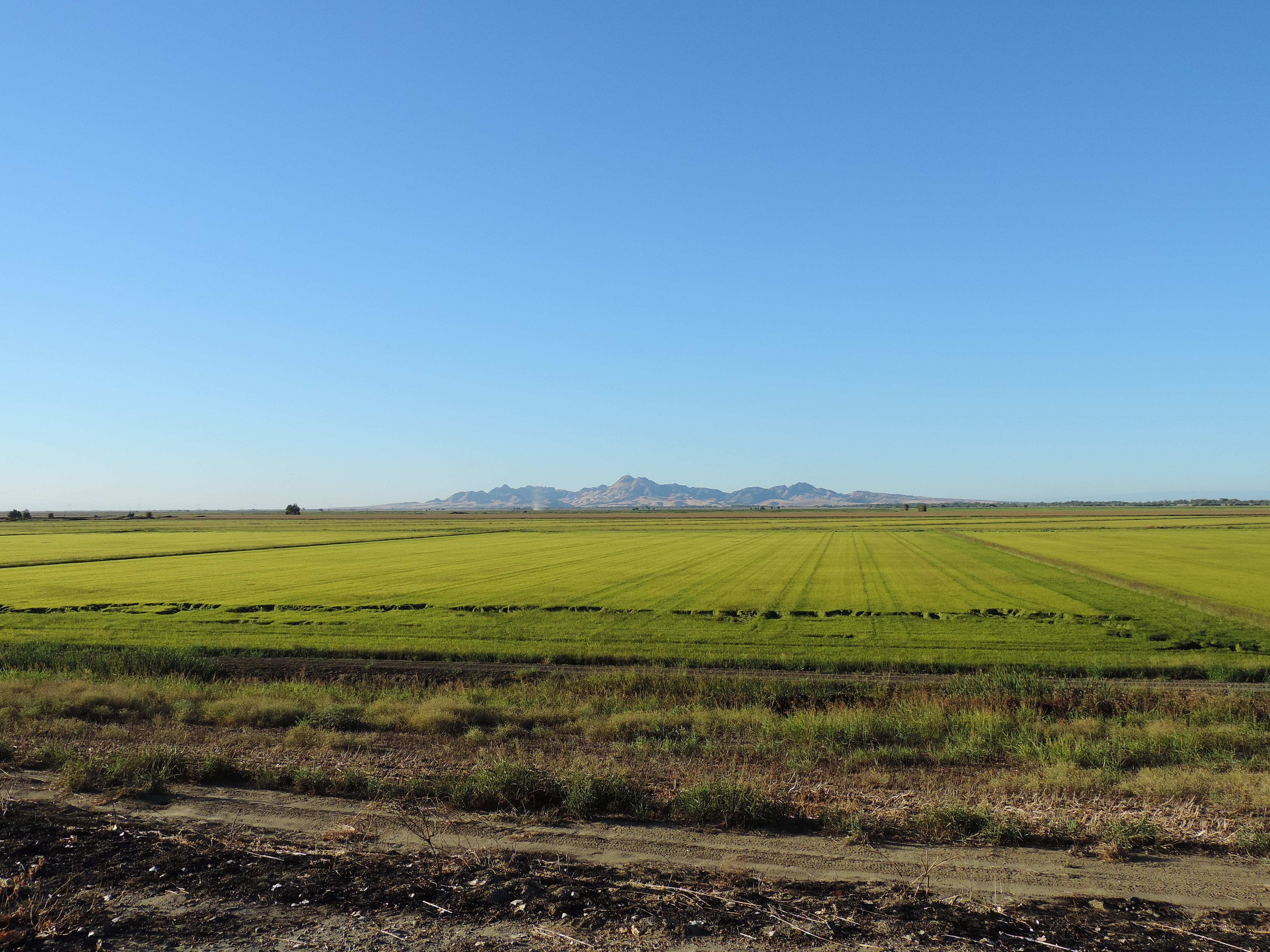
Rest Area View

Sunflower Panorama

Sunflower Panorama

Sunflower Field

09.0525-JTP_2053
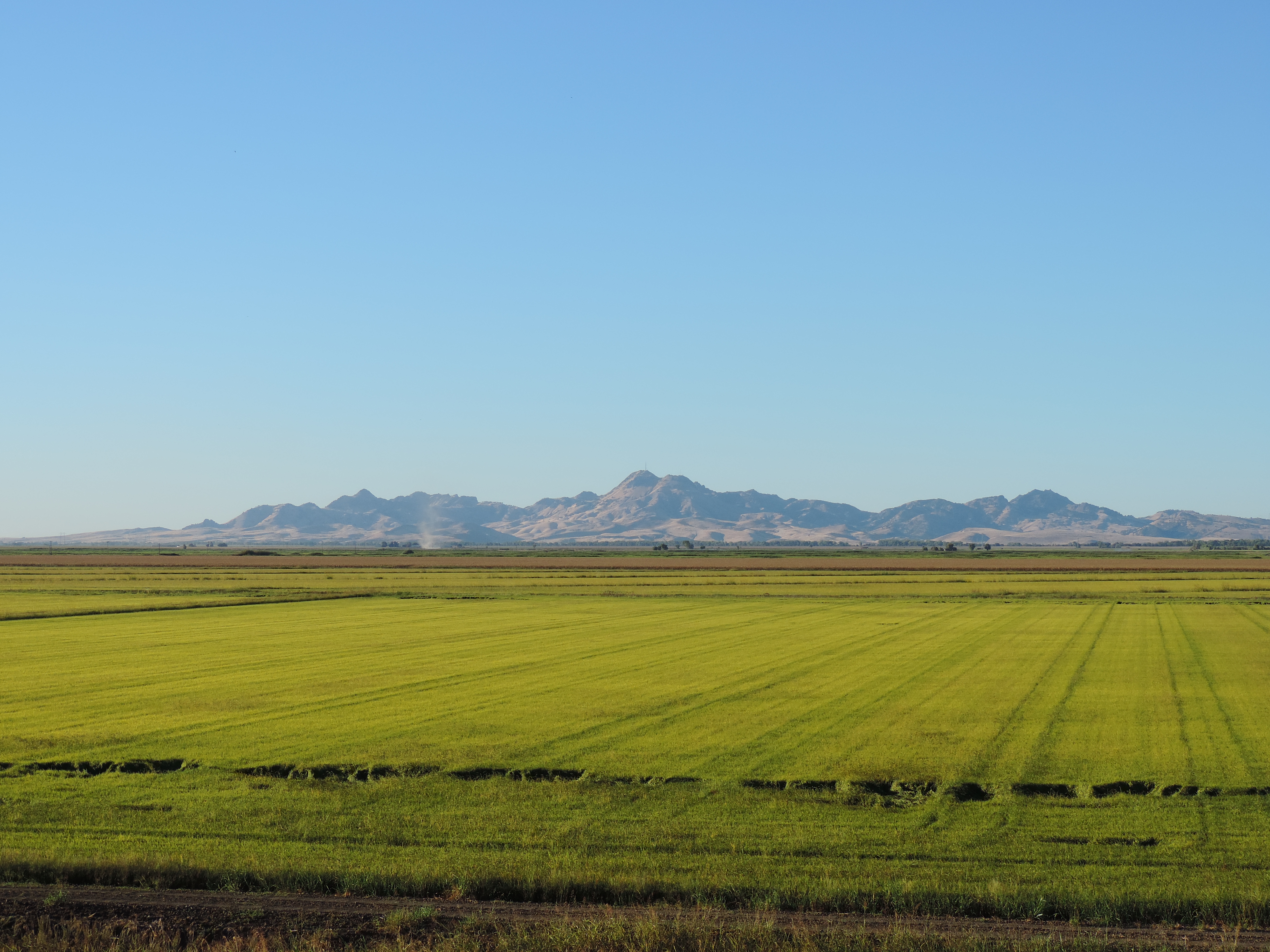
Sutter Buttes from Oswald Road, Sutter County, CA
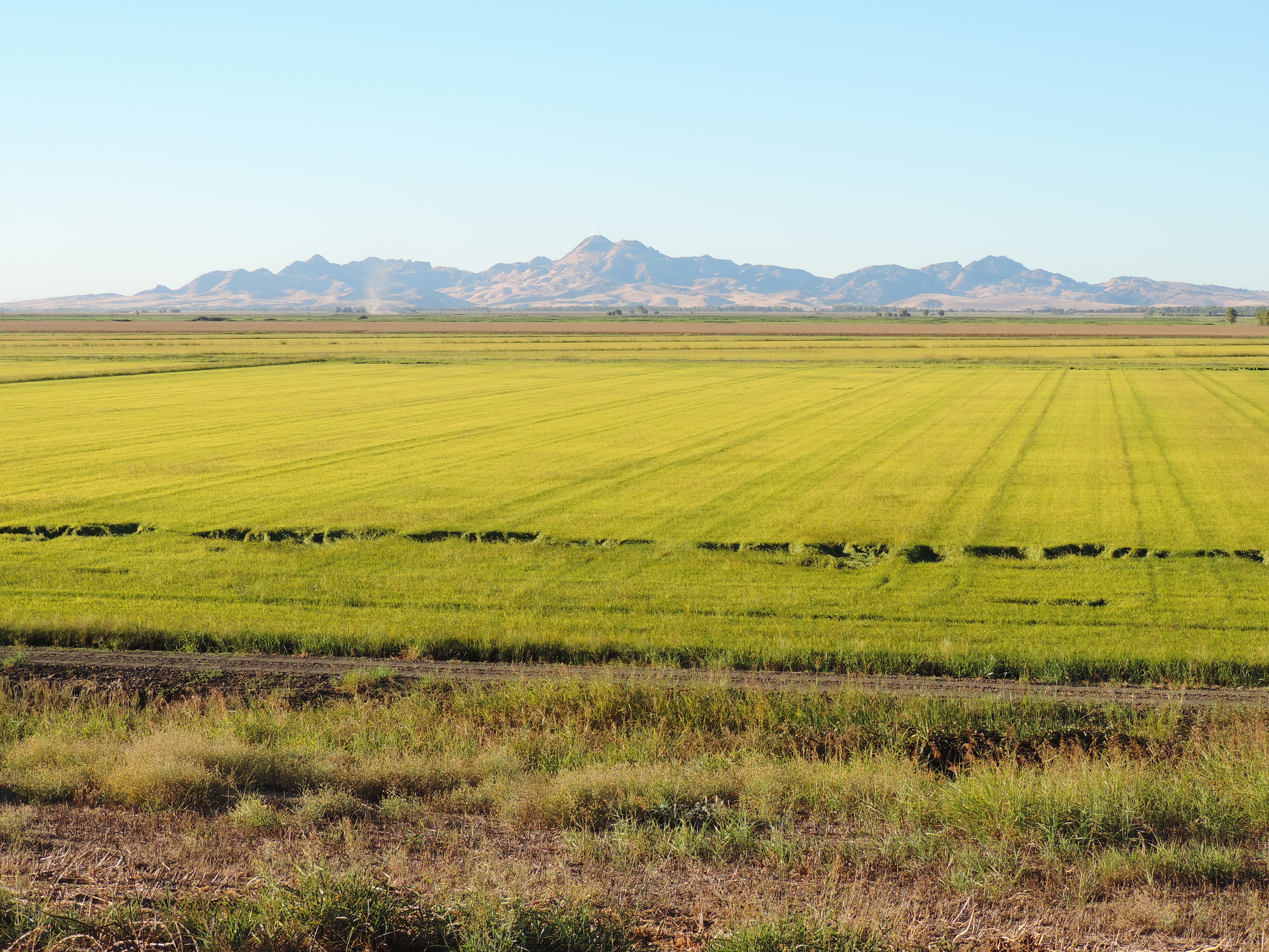
Sutter Buttes from Oswald Road, Sutter County, CA

09.0525-JTP_2052

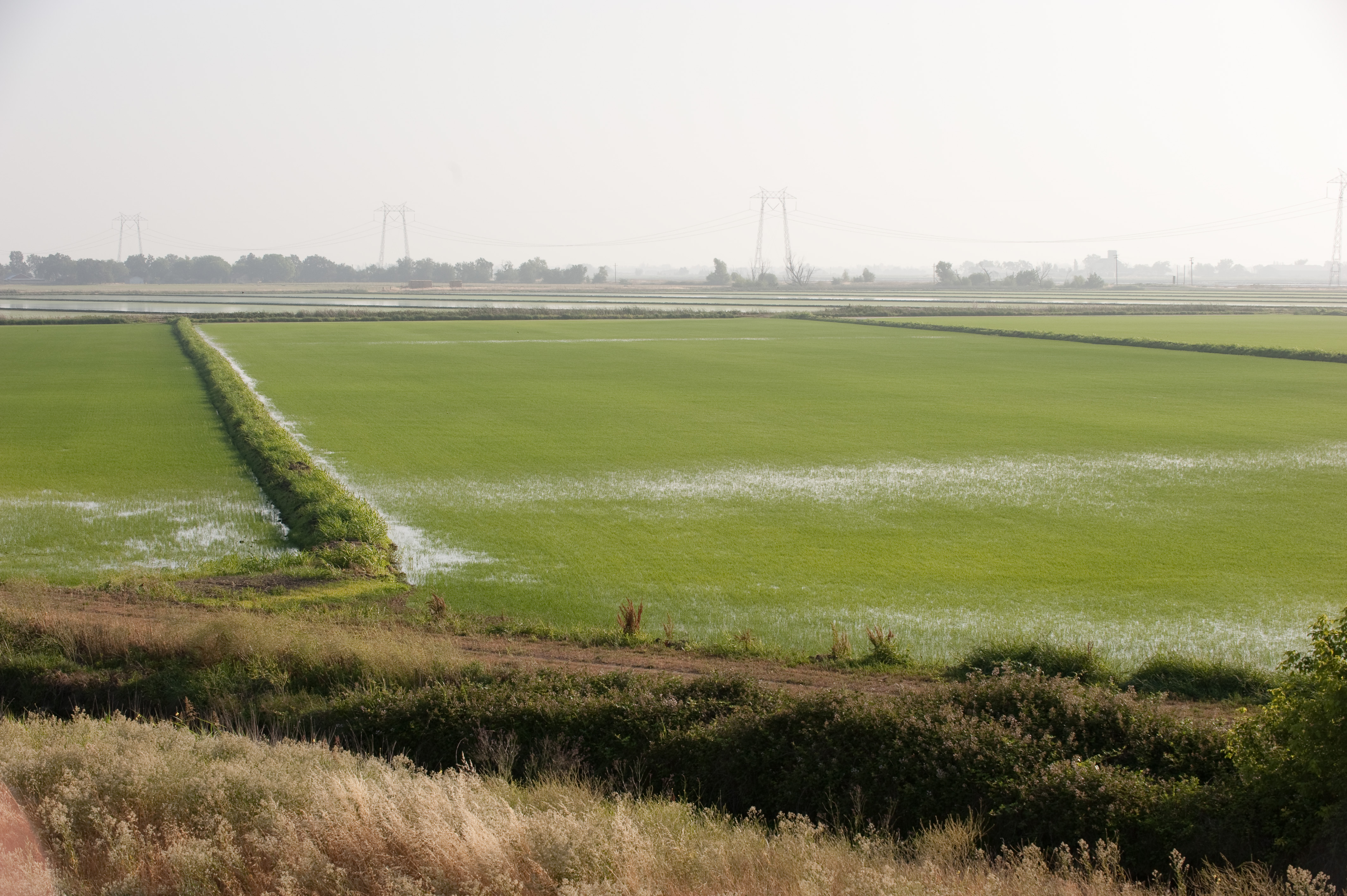
Country Road
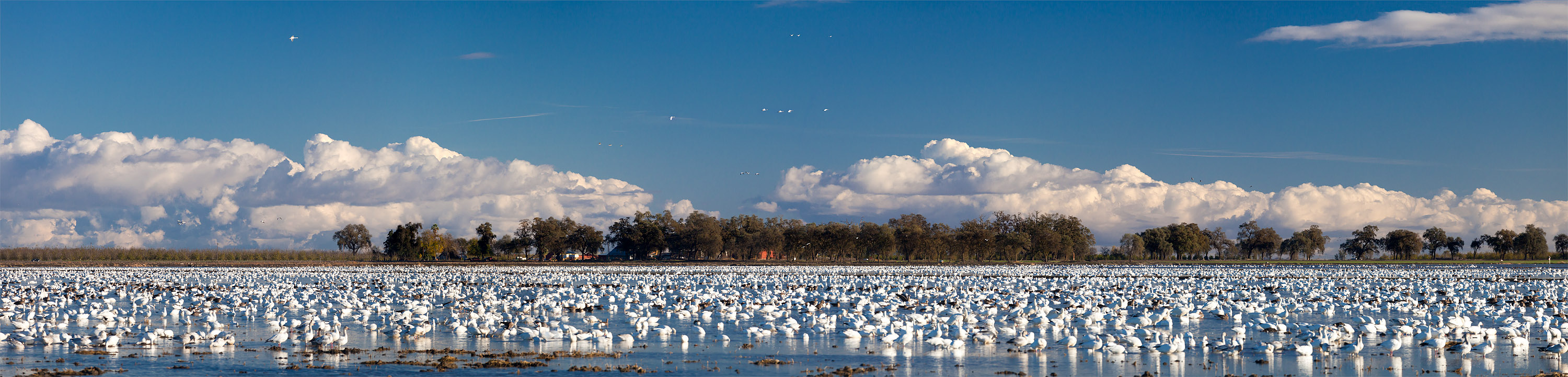
Snow Geese near Grimes, in the Sacramento Valley
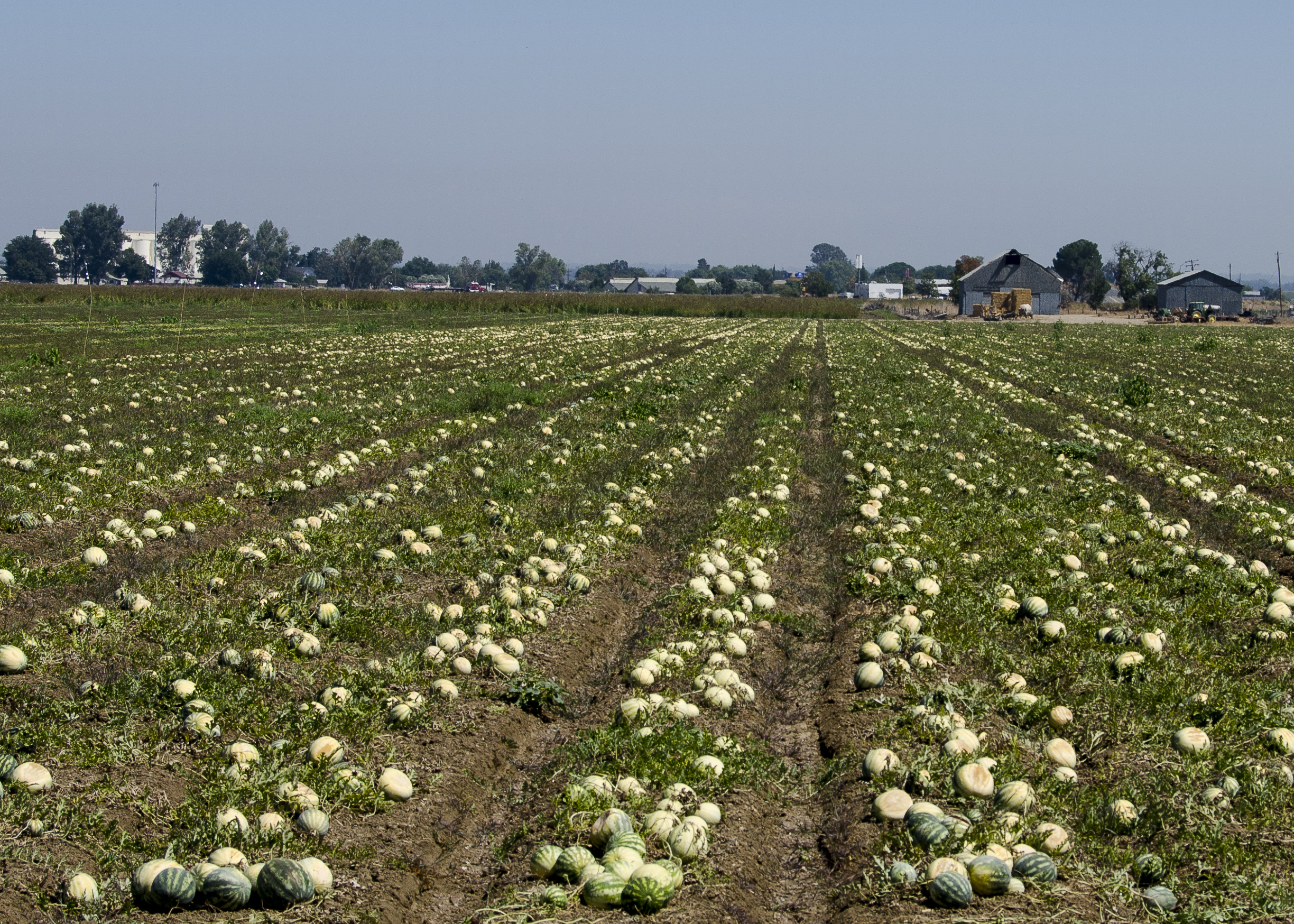
Mellon Crop

Country Road (Panoramic)

Country Road II

P1040004 Sunset field_Colusa County Road 45_Dec 4 2014
Sutter Buttes from Oswald Road, Sutter County, CA

One Last Sunflower for the Weekend
09.0525-JTP_2050

Sacramento River, RM 123.5 Hydro Survey

Sacramento River Hydro Survey

Sunflowers after Sunset

#silvershadow #limitededitionphotograph #blackandwhite #monochrome #visityolo #visitcalifornia #yolocounty #dunniganhills #ignorcal #916igers #gregmitchellphotography #tactilephoto
Topographic Map of Millers Landing Rd, Meridian, CA, USA
Find elevation by address:

Places near Millers Landing Rd, Meridian, CA, USA:
Cranmore Rd, Knights Landing, CA, USA
8 Wilson Bend Rd, Meridian, CA, USA
Kirksville Rd, Knights Landing, CA, USA
Progress Rd, Meridian, CA, USA
Main St, California, USA
Progress Rd, Meridian, CA, USA
Dunnigan
CR 99W, Dunnigan, CA, USA
Robbins
Del Monte Ave, Robbins, CA, USA
Zamora
7th St, Arbuckle, CA, USA
Sutter County
Yuba City, CA, USA
Hageman Rd, Meridian, CA, USA
9305 Schlagle Rd
State Highway 20
Meridian
CR 99W, Yolo, CA, USA
Kilgore Rd, Meridian, CA, USA
Recent Searches:
- Elevation of Beall Road, Beall Rd, Florida, USA
- Elevation of Leguwa, Nepal
- Elevation of County Rd, Enterprise, AL, USA
- Elevation of Kolchuginsky District, Vladimir Oblast, Russia
- Elevation of Shustino, Vladimir Oblast, Russia
- Elevation of Lampiasi St, Sarasota, FL, USA
- Elevation of Elwyn Dr, Roanoke Rapids, NC, USA
- Elevation of Congressional Dr, Stevensville, MD, USA
- Elevation of Bellview Rd, McLean, VA, USA
- Elevation of Stage Island Rd, Chatham, MA, USA