Elevation of Main St, California, USA
Location: United States > California > Colusa County >
Longitude: -121.89292
Latitude: 39.074506
Elevation: 15m / 49feet
Barometric Pressure: 101KPa
Elevation Map:
Satellite Map:
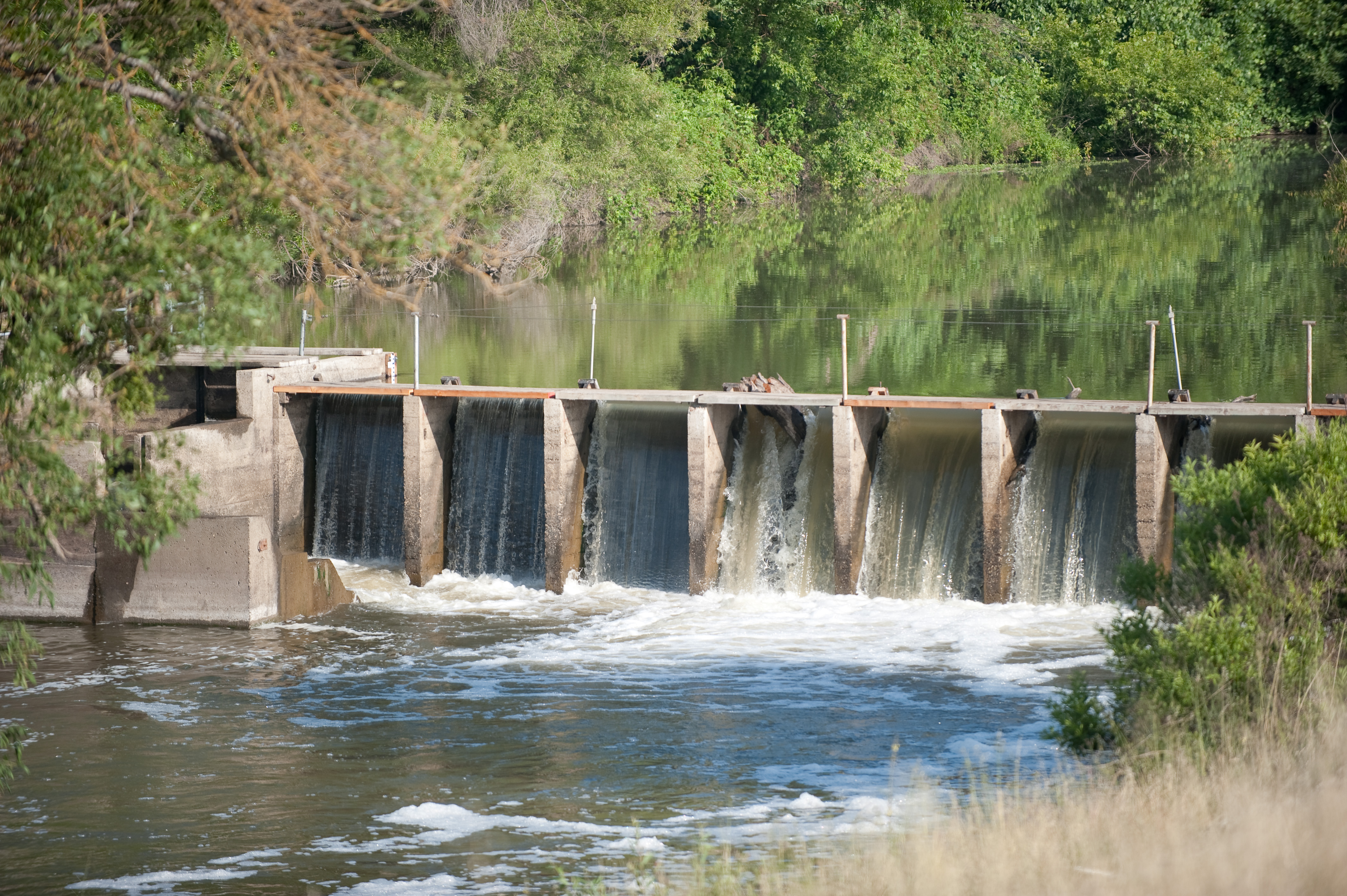
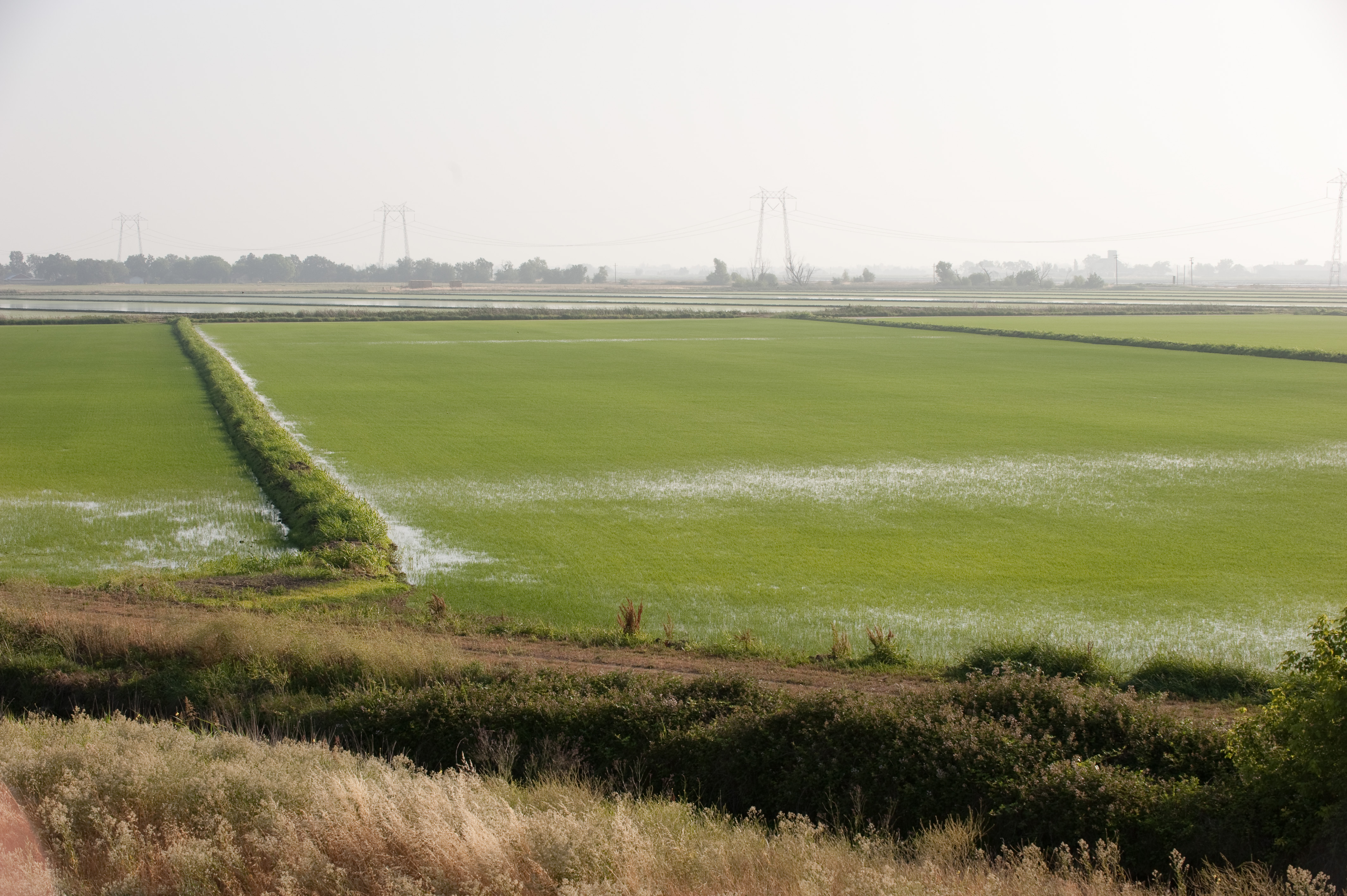
Related Photos:

Dangerous Curves Ahead
From the Central Division to the Central Valley

The view from the top 1
The view from the top 3
The view from the top 2

Big Picture Day

Sunflower Panorama

Sunflower Panorama

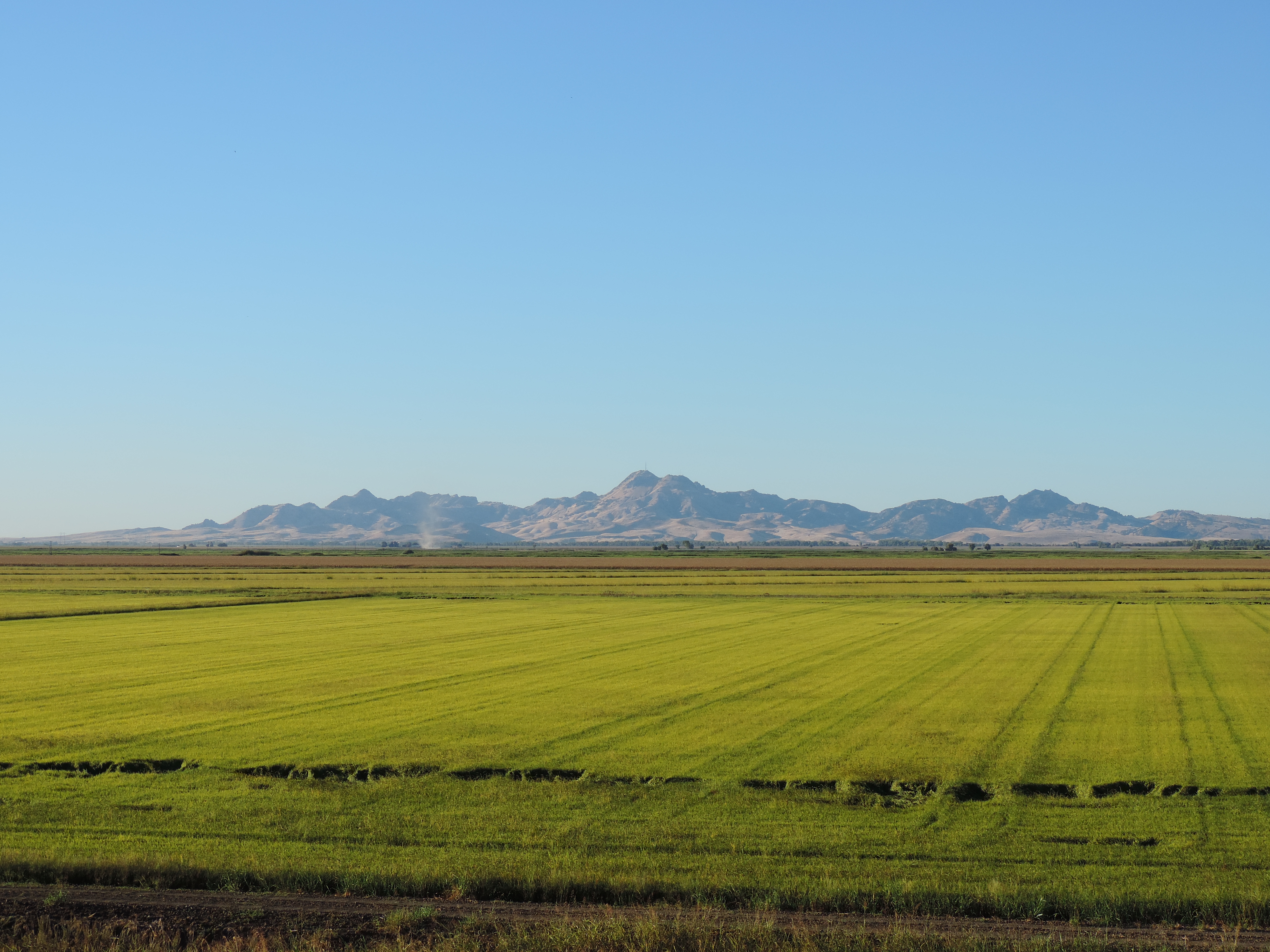
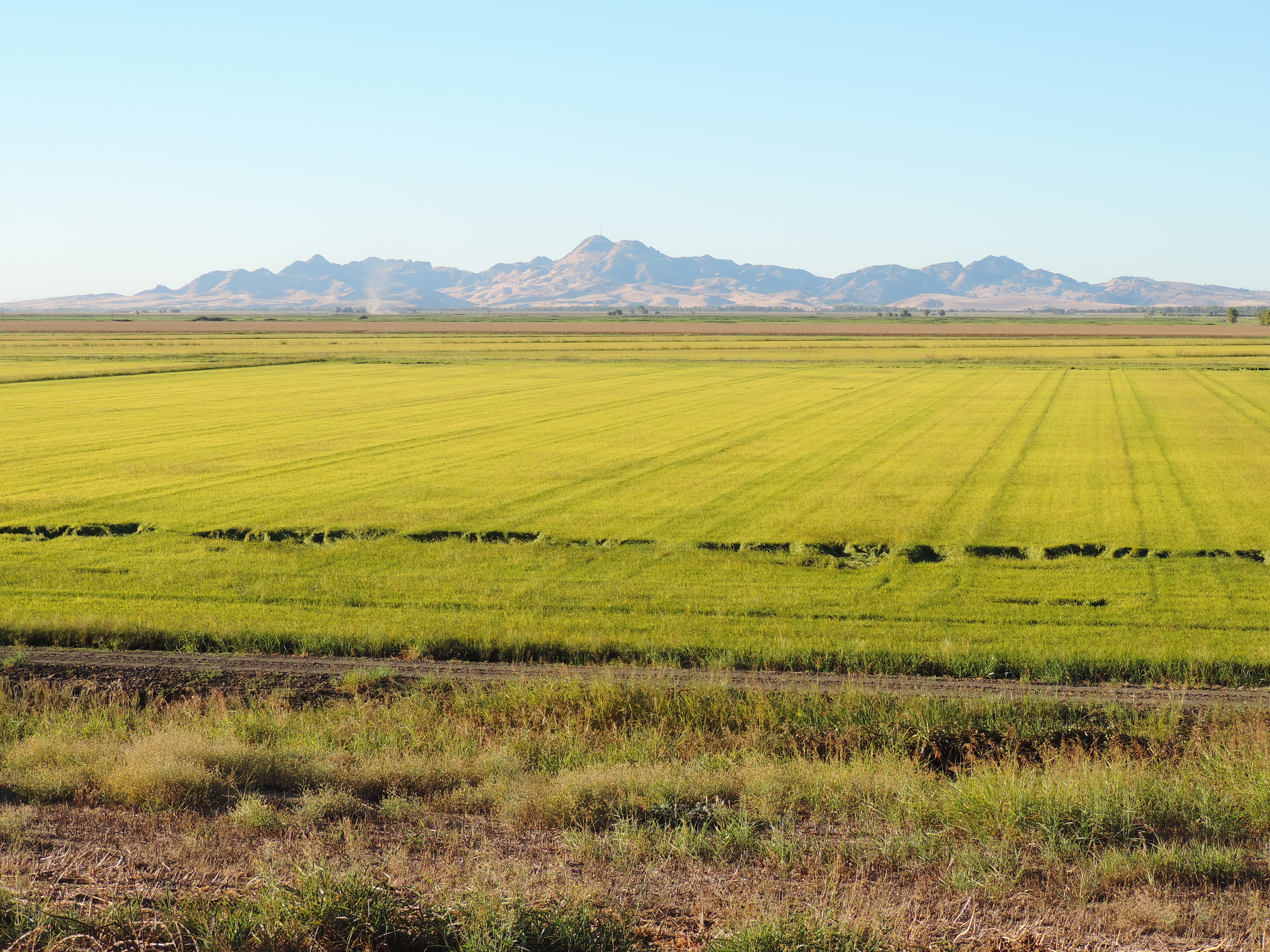
Sutter Buttes

Sutter Buttes
09.0525-JTP_2071

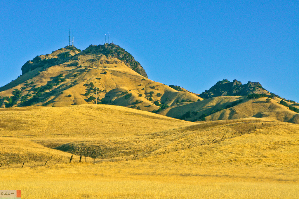
World's Smallest Mountain Range

Sunflower Field

09.0525-JTP_2053
Sutter Buttes from Oswald Road, Sutter County, CA

Butte Slough
Sutter Buttes from Oswald Road, Sutter County, CA

09.0525-JTP_2052

Summer in the Sutter Bypass
Sutter Buttes
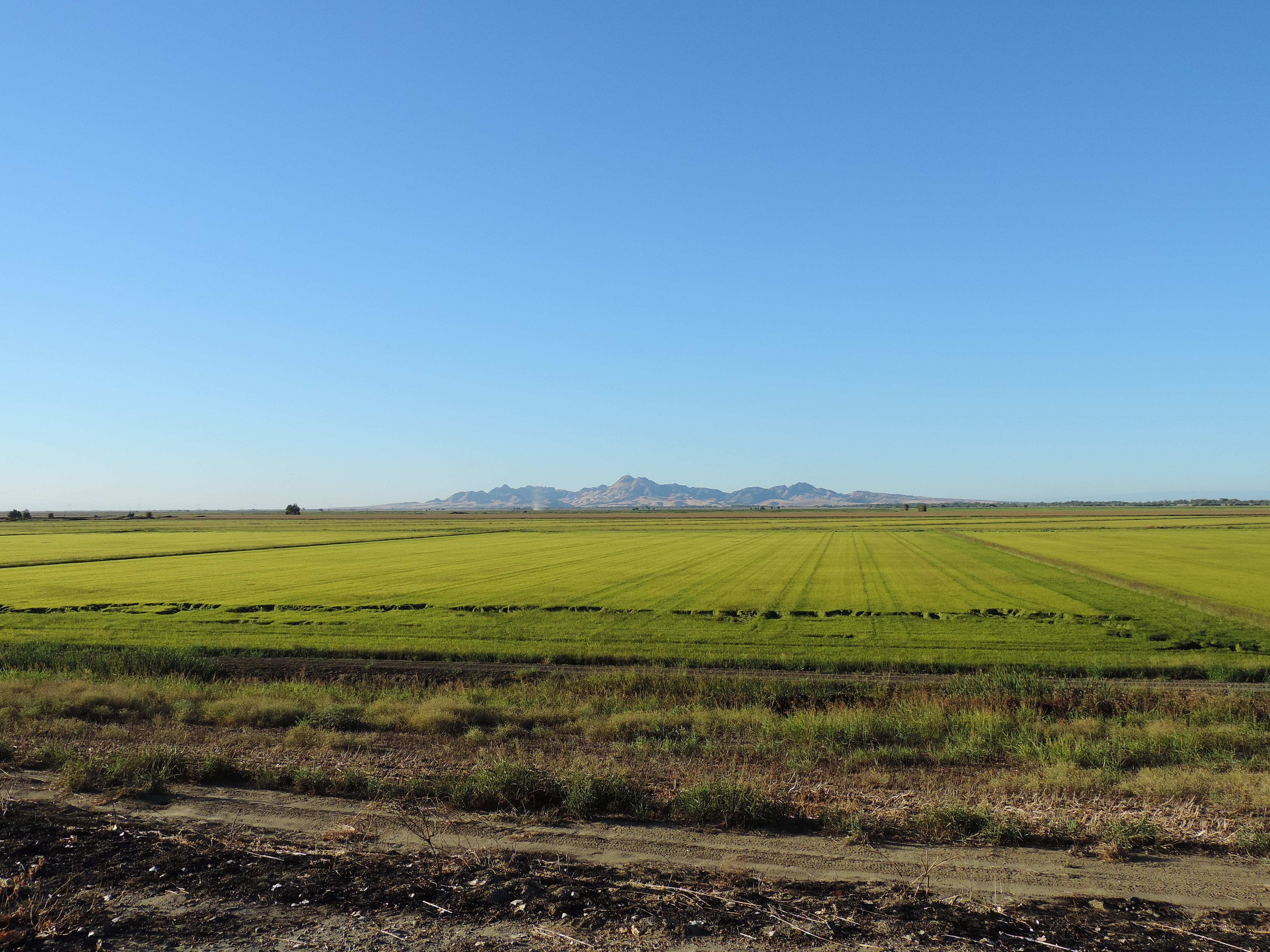
Sutter Buttes from Oswald Road, Sutter County, CA

One Last Sunflower for the Weekend
09.0525-JTP_2063
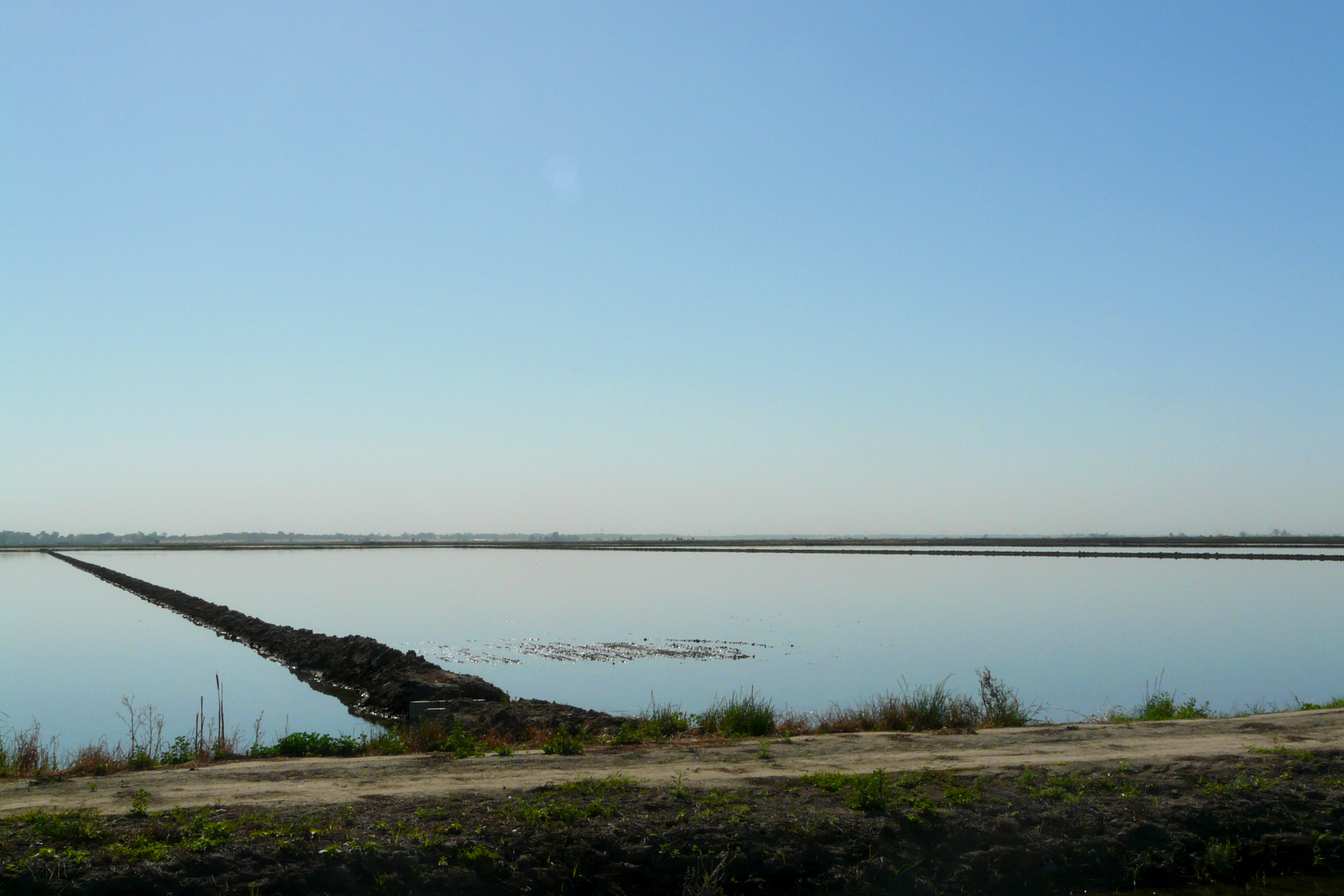
rice field
09.0525-JTP_2050

Sutter Buttes and Hay Bales

Sutter Buttes Panorama
Topographic Map of Main St, California, USA
Find elevation by address:

Places near Main St, California, USA:
Meridian
Hageman Rd, Meridian, CA, USA
Kilgore Rd, Meridian, CA, USA
Progress Rd, Meridian, CA, USA
West Butte
Progress Rd, Meridian, CA, USA
Pass Road
State Highway 20
Rebecca Lane
8025 Marshall St
7887 Marshall St
2227 W Ridge Dr
8640 Pass Rd
Sutter
Sutter Union High School
2439 Acacia Ave
2095 California St
2204 California St
2019 Palm St
2654 Maple St
Recent Searches:
- Elevation of Beall Road, Beall Rd, Florida, USA
- Elevation of Leguwa, Nepal
- Elevation of County Rd, Enterprise, AL, USA
- Elevation of Kolchuginsky District, Vladimir Oblast, Russia
- Elevation of Shustino, Vladimir Oblast, Russia
- Elevation of Lampiasi St, Sarasota, FL, USA
- Elevation of Elwyn Dr, Roanoke Rapids, NC, USA
- Elevation of Congressional Dr, Stevensville, MD, USA
- Elevation of Bellview Rd, McLean, VA, USA
- Elevation of Stage Island Rd, Chatham, MA, USA