Elevation of Del Monte Ave, Robbins, CA, USA
Location: United States > California > Sutter County > Robbins >
Longitude: -121.70497
Latitude: 38.8705969
Elevation: 7m / 23feet
Barometric Pressure: 101KPa
Elevation Map:
Satellite Map:
Related Photos:
Floodplain Farming: Fremont Weir, near Sacramento, California

Knights Landing Bridge
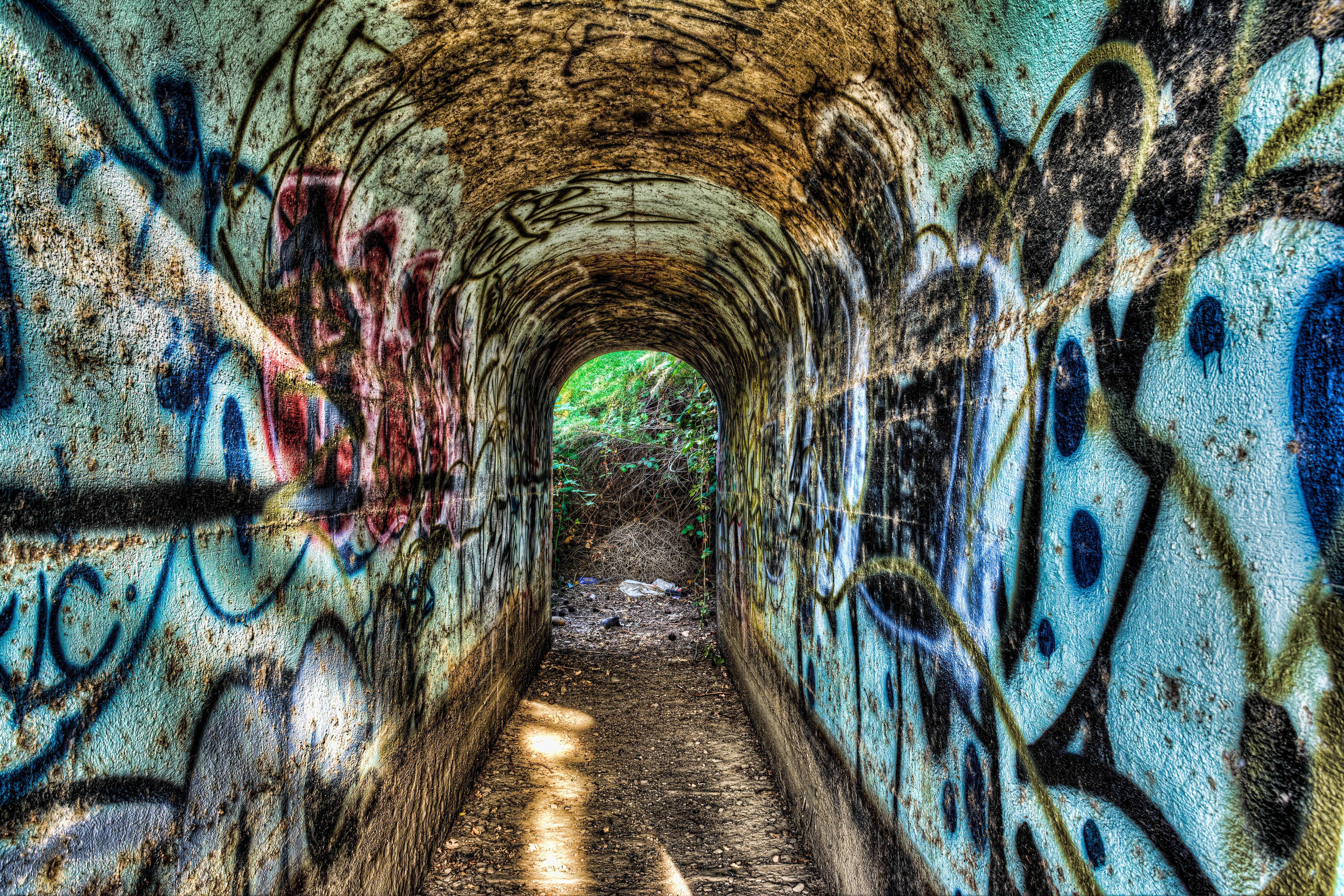
Tunnel-02

plumbing supplies. catlett, ca. 2014.
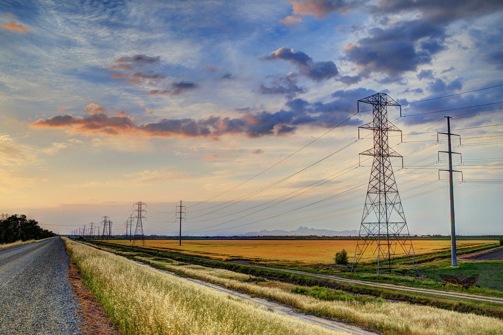
Country Road

Sunflowers by Mary's Chapel, Yolo CA

abandoned rice dryers. east nicolaus, ca. 2013.
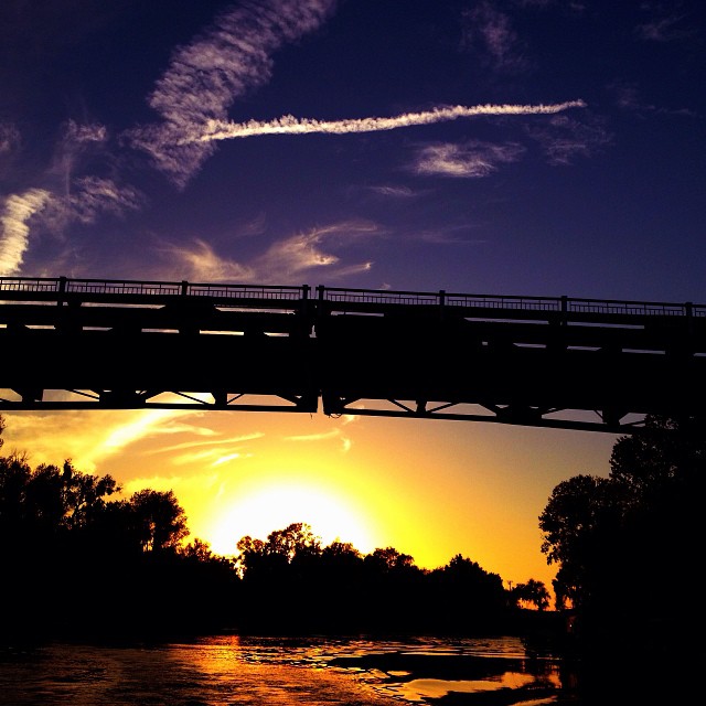
#Sunset under the bridge near #Sacramento, #California . #cruise #relax #water #magichour

Mustard field

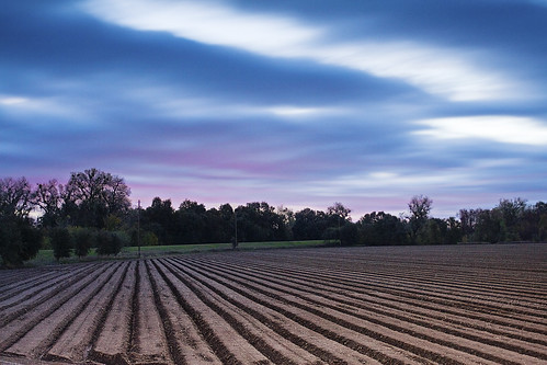
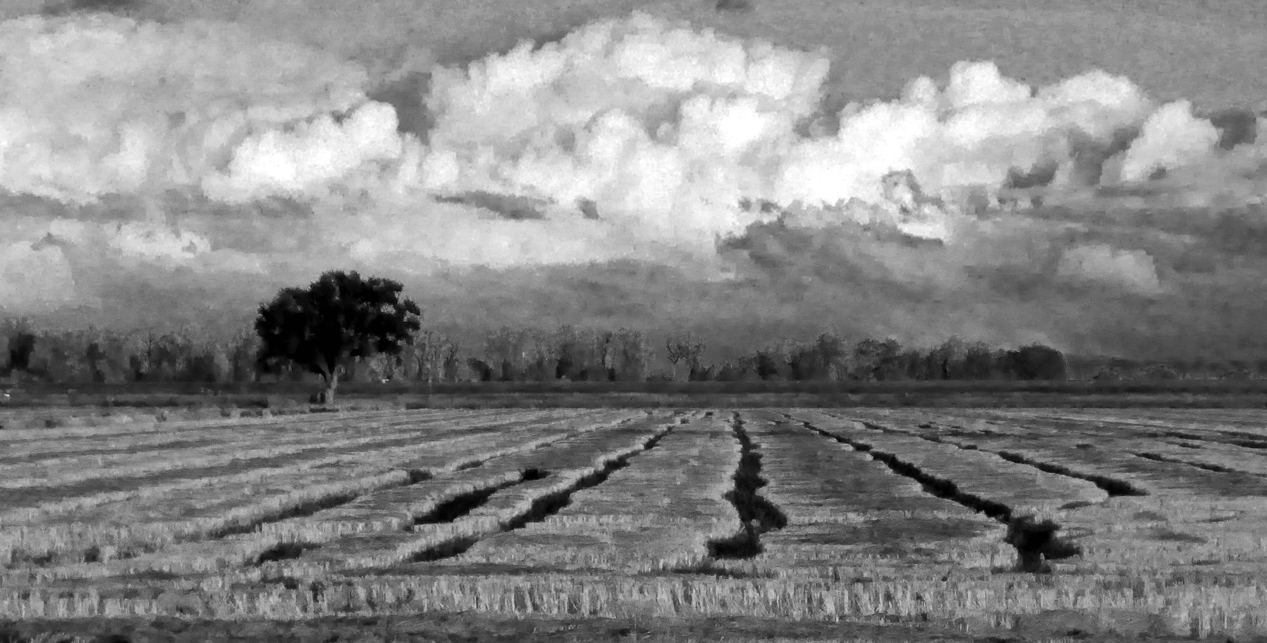
Sunset Tree and Plow Lines

foggy morn
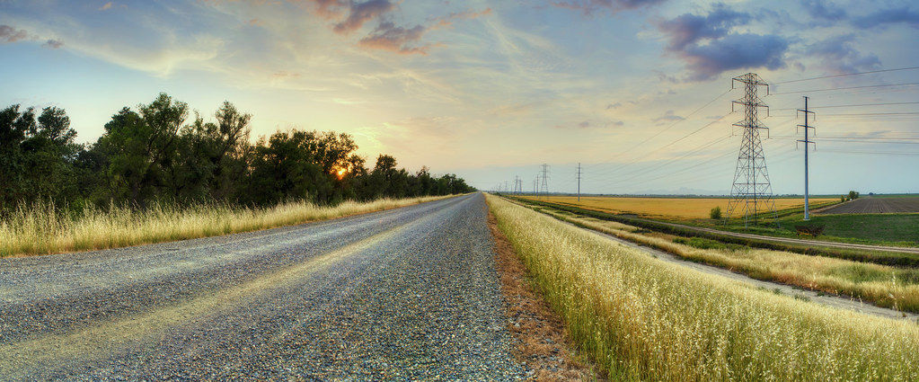
Country Road (Panoramic)
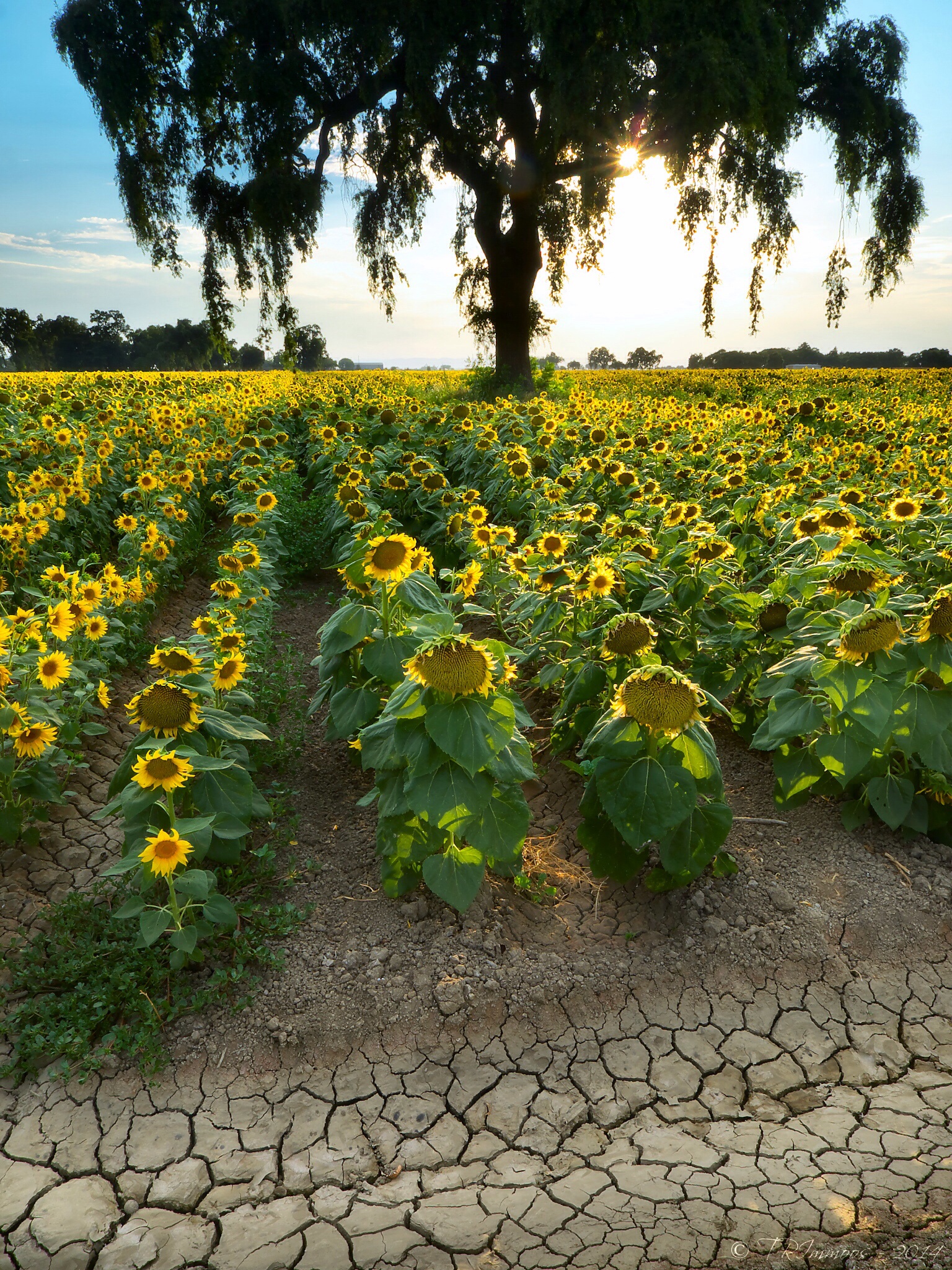
Oak and Sunflowers in Sugarfield
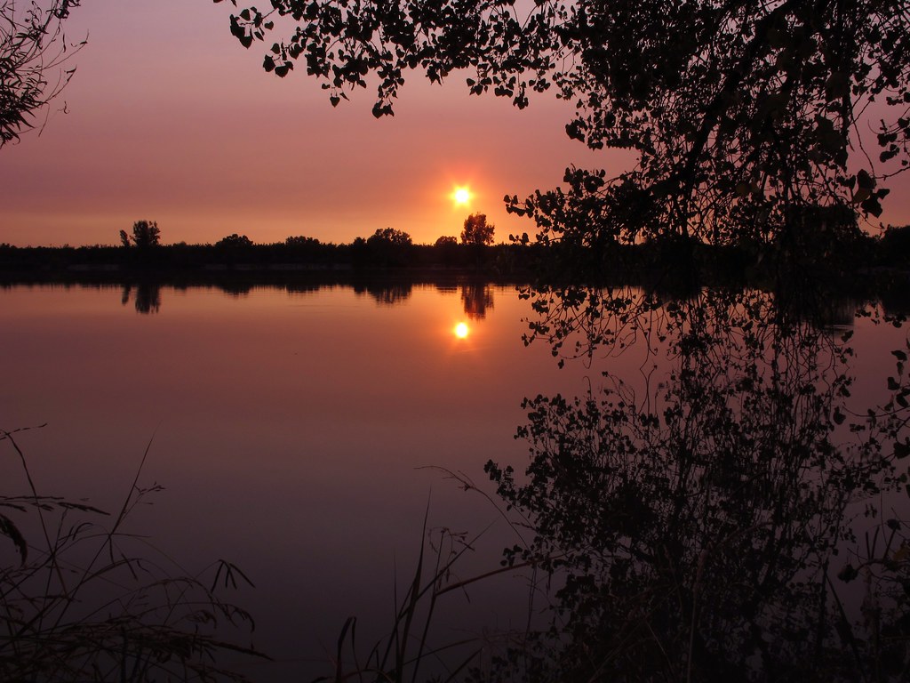
Sunset 9/25/12

Great #sunset & #magichour on the boat tonight. Good times with friends on the river. #relax #cheers #travel
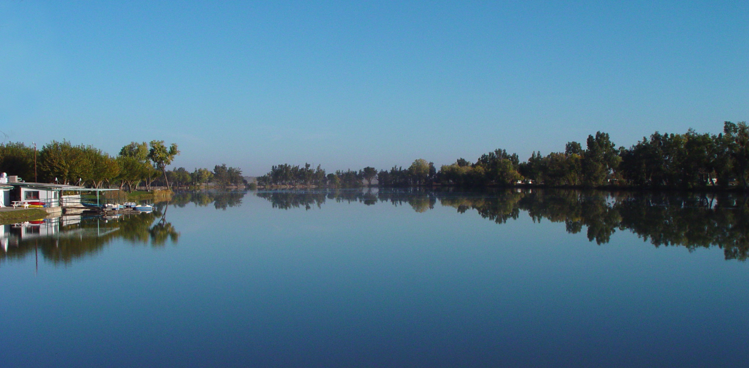
Lake Minden NACO Reflections

Country Road II
P1040004 Sunset field_Colusa County Road 45_Dec 4 2014
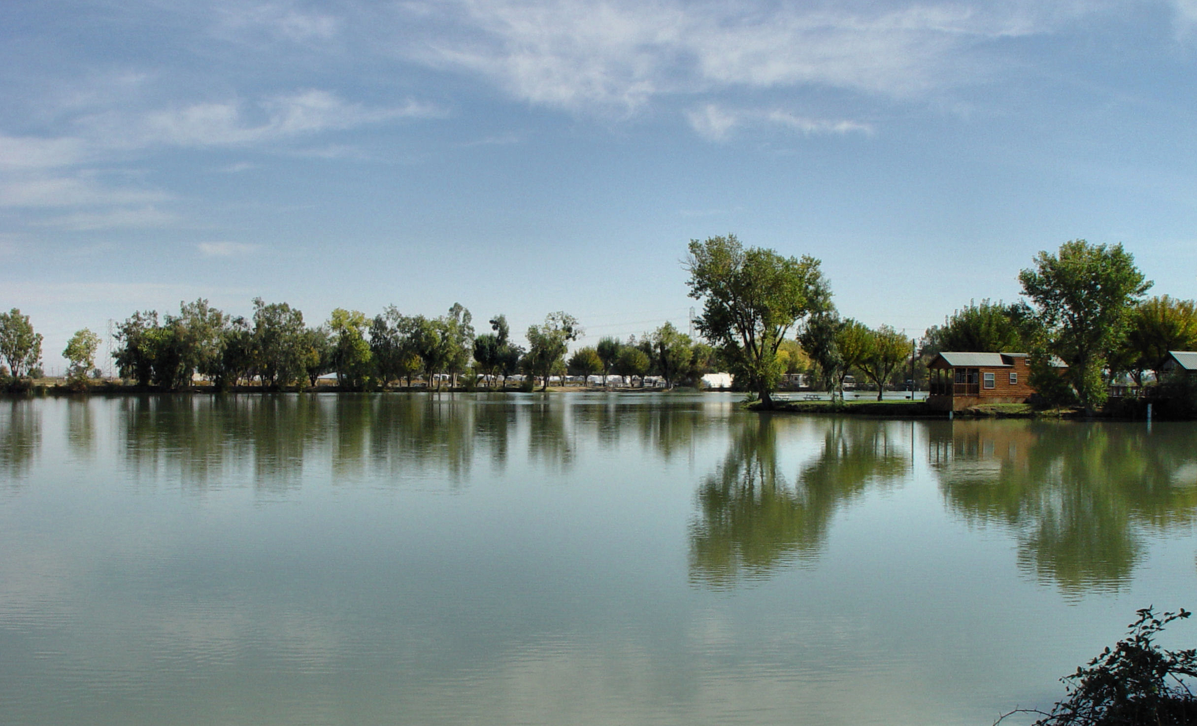
Lake Minden Reflections
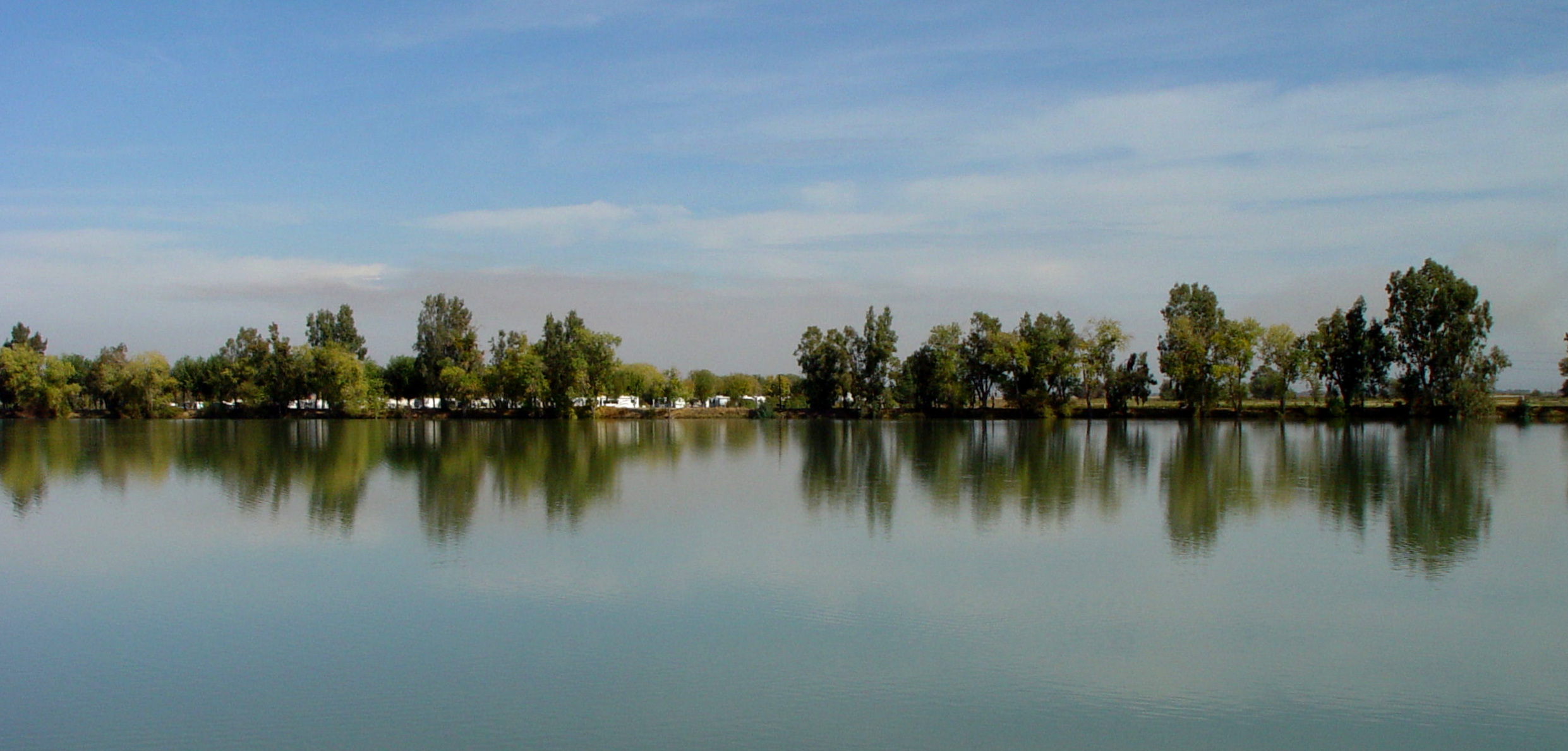
Lake Minden NACO Reflections
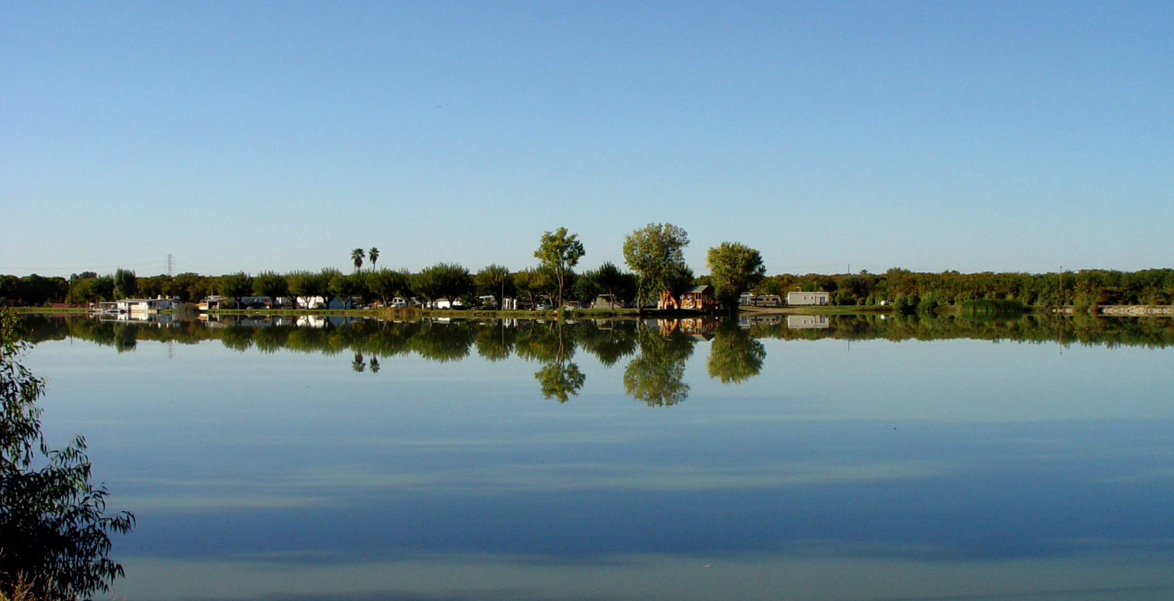
Lake Minden NACO Reflections

UC Davis Golf- Travel to Washington
IMG_8431.JPG
Topographic Map of Del Monte Ave, Robbins, CA, USA
Find elevation by address:

Places near Del Monte Ave, Robbins, CA, USA:
Robbins
Knights Landing
Marty Street
Kirksville Rd, Knights Landing, CA, USA
Garden Highway
Garden Hwy, Nicolaus, CA, USA
Nicolaus
Cranmore Rd, Knights Landing, CA, USA
Major Rd, Yuba City, CA, USA
9305 Schlagle Rd
Garden Hwy, Nicolaus, CA, USA
8639 Hobbs Rd
Sutter County
546 Tudor Rd
2661 Palm St
Co Rd 18C, Woodland, CA, USA
Millers Landing Rd, Meridian, CA, USA
Nicolaus Ave, Nicolaus, CA, USA
Catlett Rd, Pleasant Grove, CA, USA
1939 Cornelius Ave
Recent Searches:
- Elevation of Sadovaya Ulitsa, 20, Rezh, Sverdlovskaya oblast', Russia
- Elevation of Ulitsa Kalinina, 79, Rezh, Sverdlovskaya oblast', Russia
- Elevation of 72-31 Metropolitan Ave, Middle Village, NY, USA
- Elevation of 76 Metropolitan Ave, Brooklyn, NY, USA
- Elevation of Alisal Rd, Solvang, CA, USA
- Elevation of Vista Blvd, Sparks, NV, USA
- Elevation of 15th Ave SE, St. Petersburg, FL, USA
- Elevation of Beall Road, Beall Rd, Florida, USA
- Elevation of Leguwa, Nepal
- Elevation of County Rd, Enterprise, AL, USA