Elevation of Knights Landing, CA, USA

Location: United States > California > Sutter County >

Longitude: -121.72057

Latitude: 38.7997029

Elevation: 11m / 36feet

Barometric Pressure: 101KPa

Elevation Map:

elevation map of Knights Landing, CA, USA

Satellite Map:

Satellite map of Knights Landing, CA, USA

Related Photos:

california nightphotography windmill grass northerncalifornia woodland stars landscape nightscape i5 wind farm country grain harvest hills astrophotography fields grasses nightsky rollinghills zamora starlight reallyrightstuff dunnigan starscape landscapephotography esparto dunniganhills californiaphotography northerncalifornialandscape northerncaliforniaphotography starphotography ivansohrakoffphotography
Waiting for Wind: Dunnigan Hills, California
california airport sacramento smf sacramentoairport
a2003-14-25
bridge northerncalifornia river norcal knightslanding sacramentiriver
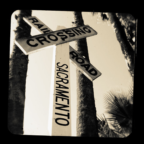
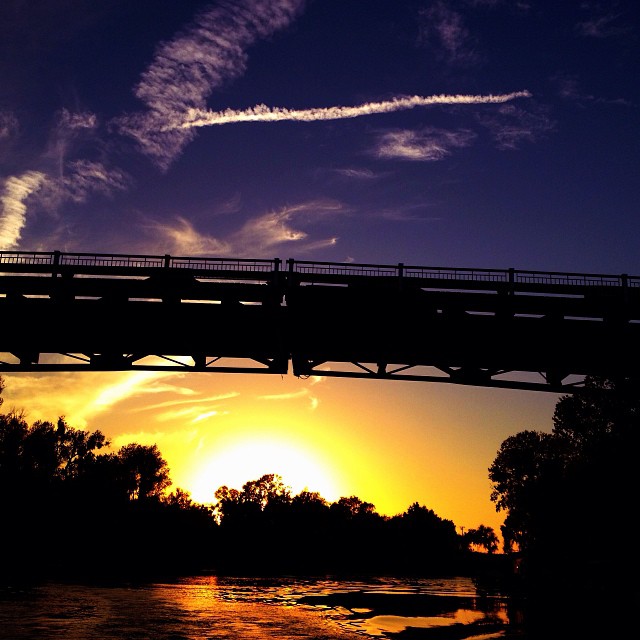
Knights Landing Bridge
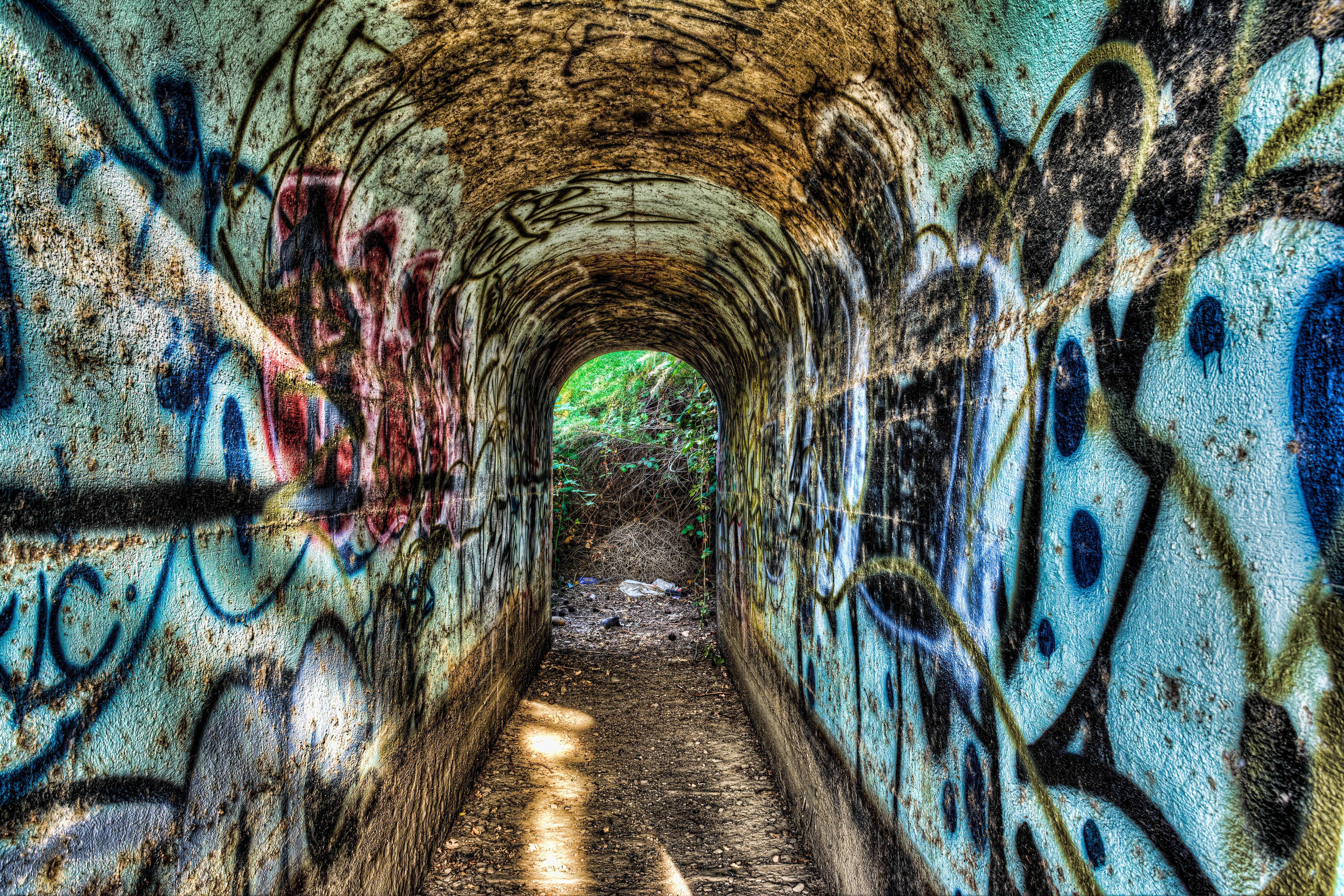
railroad southernpacific knightslanding
Tunnel-02
california sunset usa storm green water windmill grass northerncalifornia clouds fence woodland landscape spring tank sundown i5 wind farm country farming grain hills pasture fields grasses roadside agriculture watertank rollinghills zamora countryroad trough reallyrightstuff rrs dunnigan ndfilter landscapephotography watertrough esparto neutraldensity dunniganhills californiaphotography leefilters northerncalifornialandscape northerncaliforniaphotography
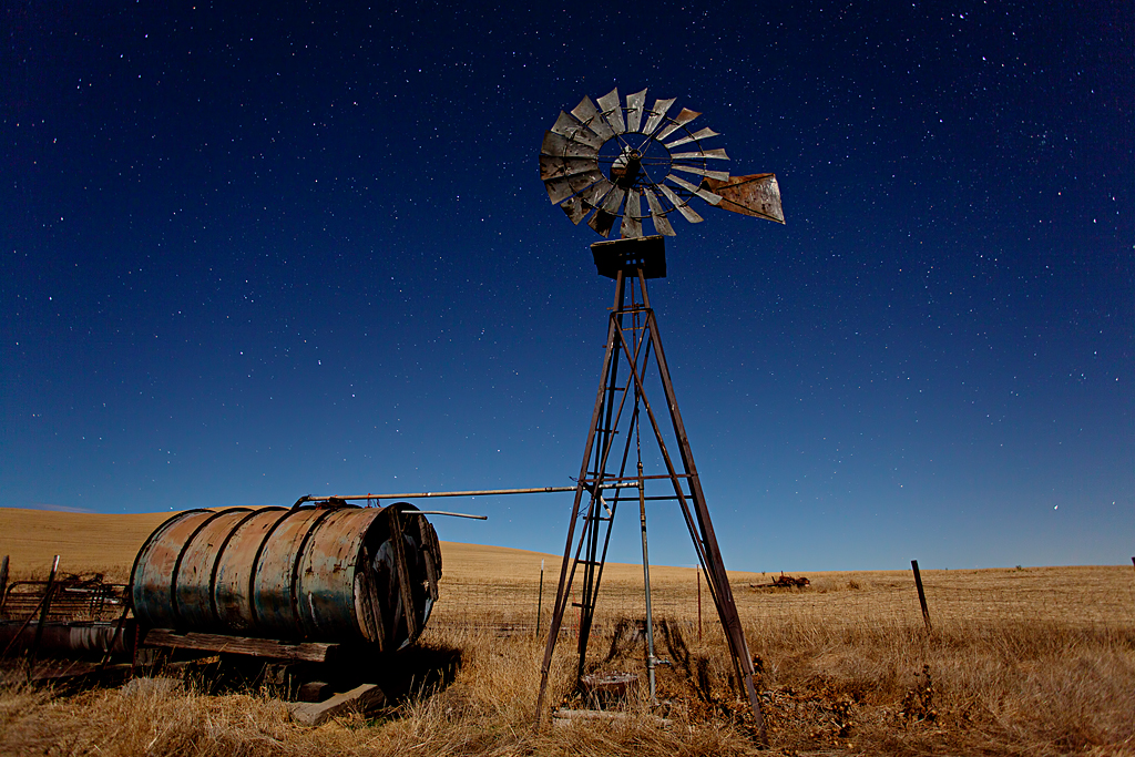
Windmill Water Trough: Zamora, California
sunrise woodland landscape photography agriculture sacramentoriver landscapephotography fremontweir
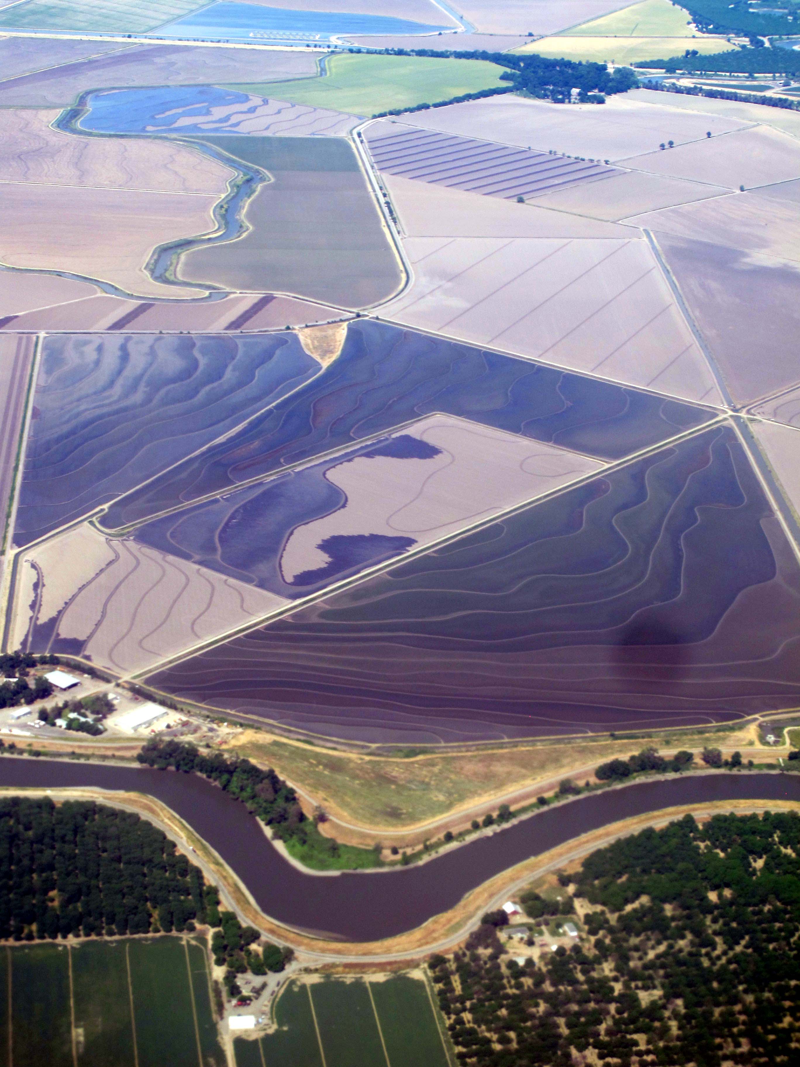
Floodplain Farming: Fremont Weir, near Sacramento, California
retropinup cvp justalittlelightroom cvpshowcase crystalviewphotography philagur
Holly Rocks
california railroad macro tlr sign train canon vintage woodland photography kodak sacramento dslr duaflex traincrossing twinlens ttv throughtheviewfinder kodakduaflex
TTV Series: Railroad
california railroad sun macro tlr train canon vintage woodland photography rocks kodak traintracks boxcar dslr hobo duaflex twinlens ttv throughtheviewfinder kodakduaflex
TTV Series: Boxcar
railroad train sera passengertrain dinnertrain woodlandcalifornia sierranorthern serawoodlandbranch woodlandtrestle
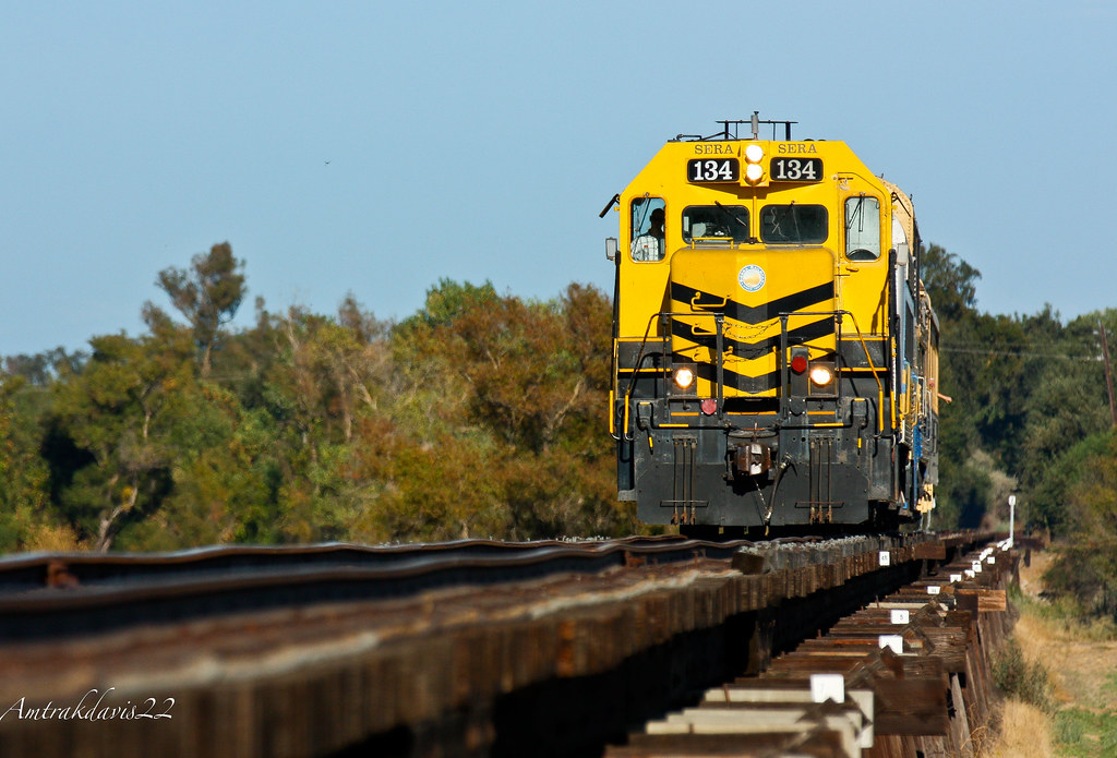
Sierra Northern Dinner Train on the Woodland Trestle
sports football athletics highschool davis pioneer tilcock
Davis High Pioneer Football Williams
sports football athletics highschool davis pioneer tilcock
Davis High Pioneer Football Nelson
sports football athletics highschool davis pioneer tilcock
Davis High Pioneer Football Castro
airport sacramento southwestairlines smf terminalb
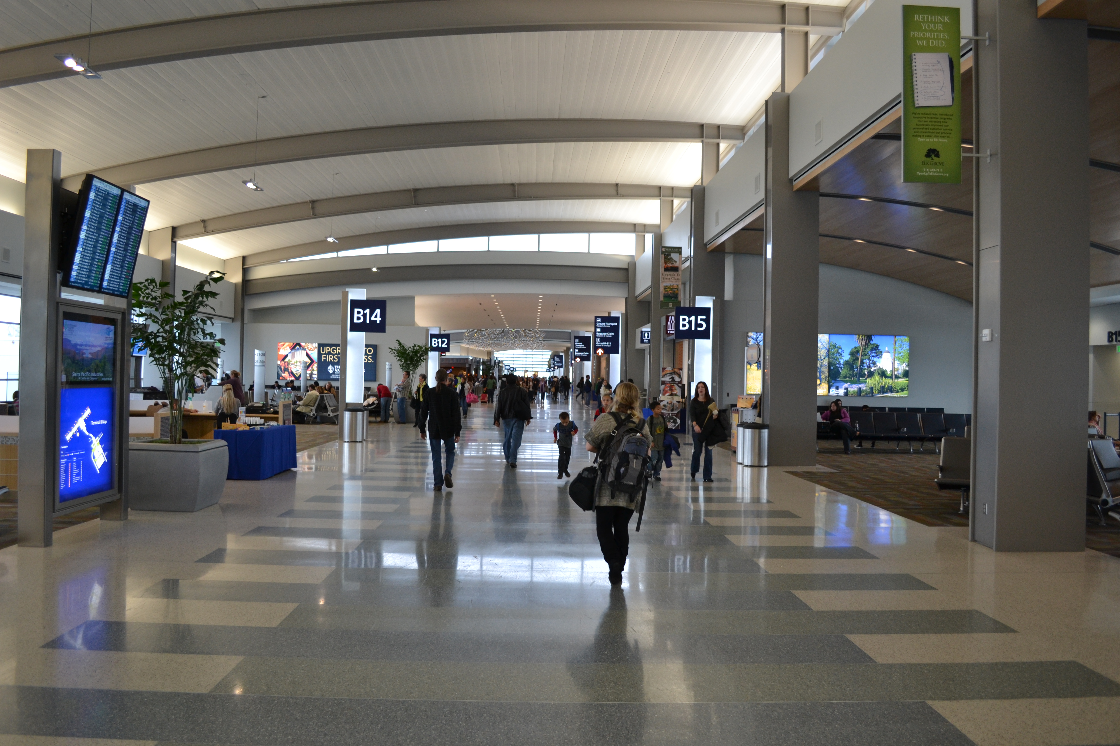
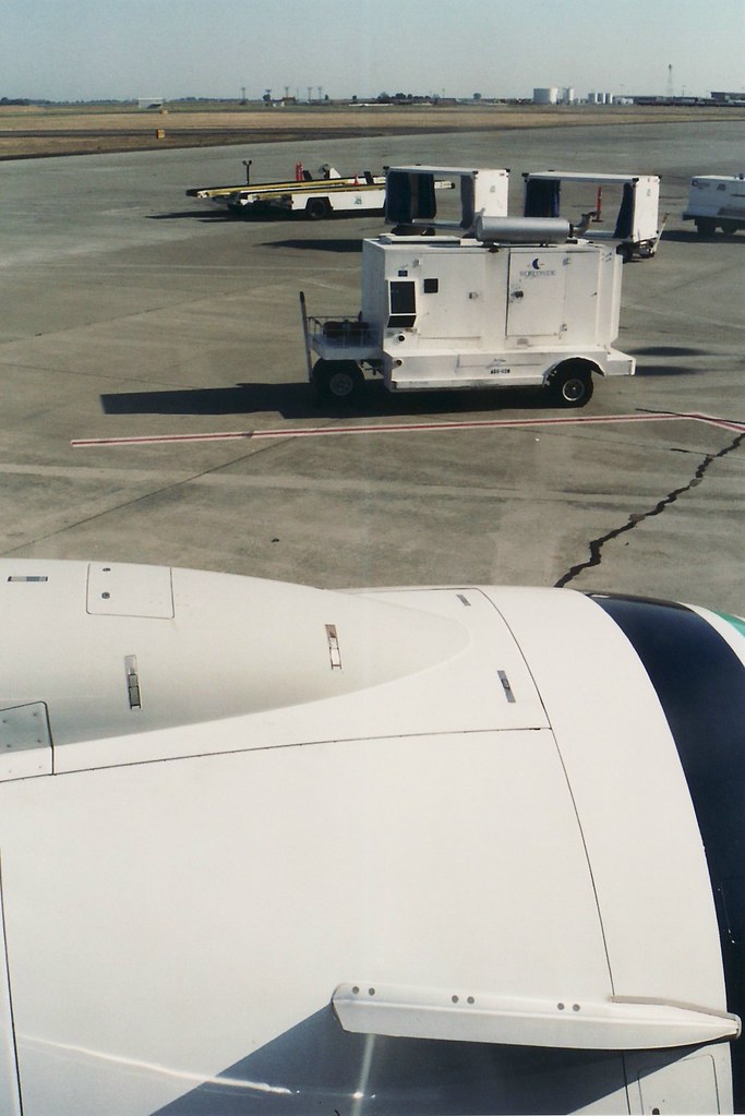
Concourse view of the New Terminal B
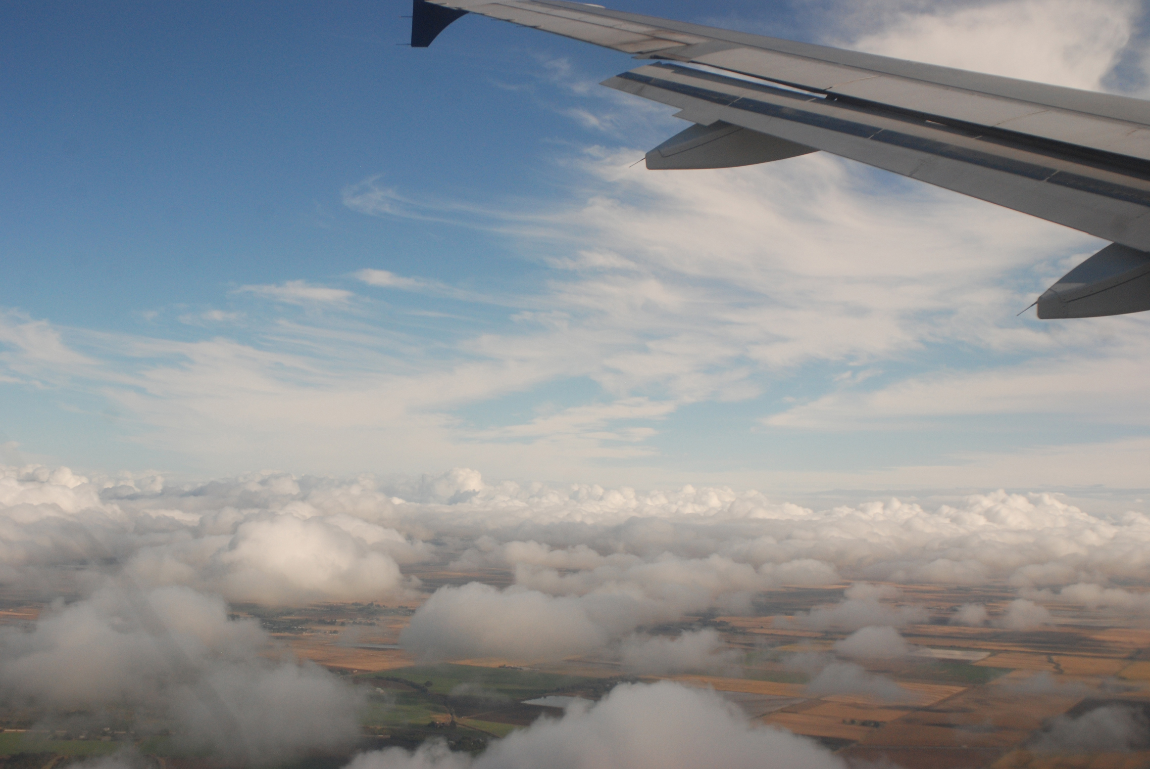
sky clouds airplane flying flight wing landing airline airway
Sacramento Landing
california sign architecture woodland august 2007
Porter Building 2
shozu geotagged geo:lon=12177151 geo:lat=3867795
Woodland Opera House view from the balcony
Maria's Eye View
Radius Jig
california west abandoned 120 6x6 mamiya film analog rural truck mediumformat square landscape typography graffiti kodak farming plumbing rusty icon ishootfilm tagged boring 99 american type sutter analogue trailer mamiya6 supplies portra derelict deserted trucking banal ordinary typographic emulsion 160 eggleston sacramentovalley 75mm hwy99 yuba primes oline ca99 catlett eyetwist kodakportra160 6mf mamiya6mf theicon plumbingsupplies ishootkodak f35l yubasutter epsonv750pro filmexif filmtagger eyetwistkevinballuff mamiya75mmf35l
plumbing supplies. catlett, ca. 2014.
california rice farm aerial yolocounty centralvalley sacramentoriver sacramentovalley suttercounty fourmilebend
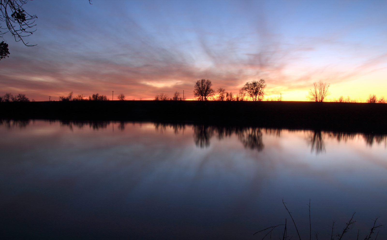
Fourmile Bend, Sacramento River
sunset day pwpartlycloudy
The sun sets . . .
california road flowers blue red sky cloud flower green field lines northerncalifornia yellow clouds woodland landscape outside us skies purple unitedstates line foliage dirt sunflowers sunflower fields roads hdr hdrphotography
Sunflower Fields
square squareformat iphoneography instagramapp uploaded:by=instagram foursquare:venue=4c44e6752d3ec9b621912fae
#Sunset under the bridge near #Sacramento, #California . #cruise #relax #water #magichour
california pink blue sunset sky brown tree lines clouds canon oak ag 5d davis valleyoak yolo gradfilter singhray waynetilcock
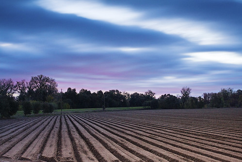
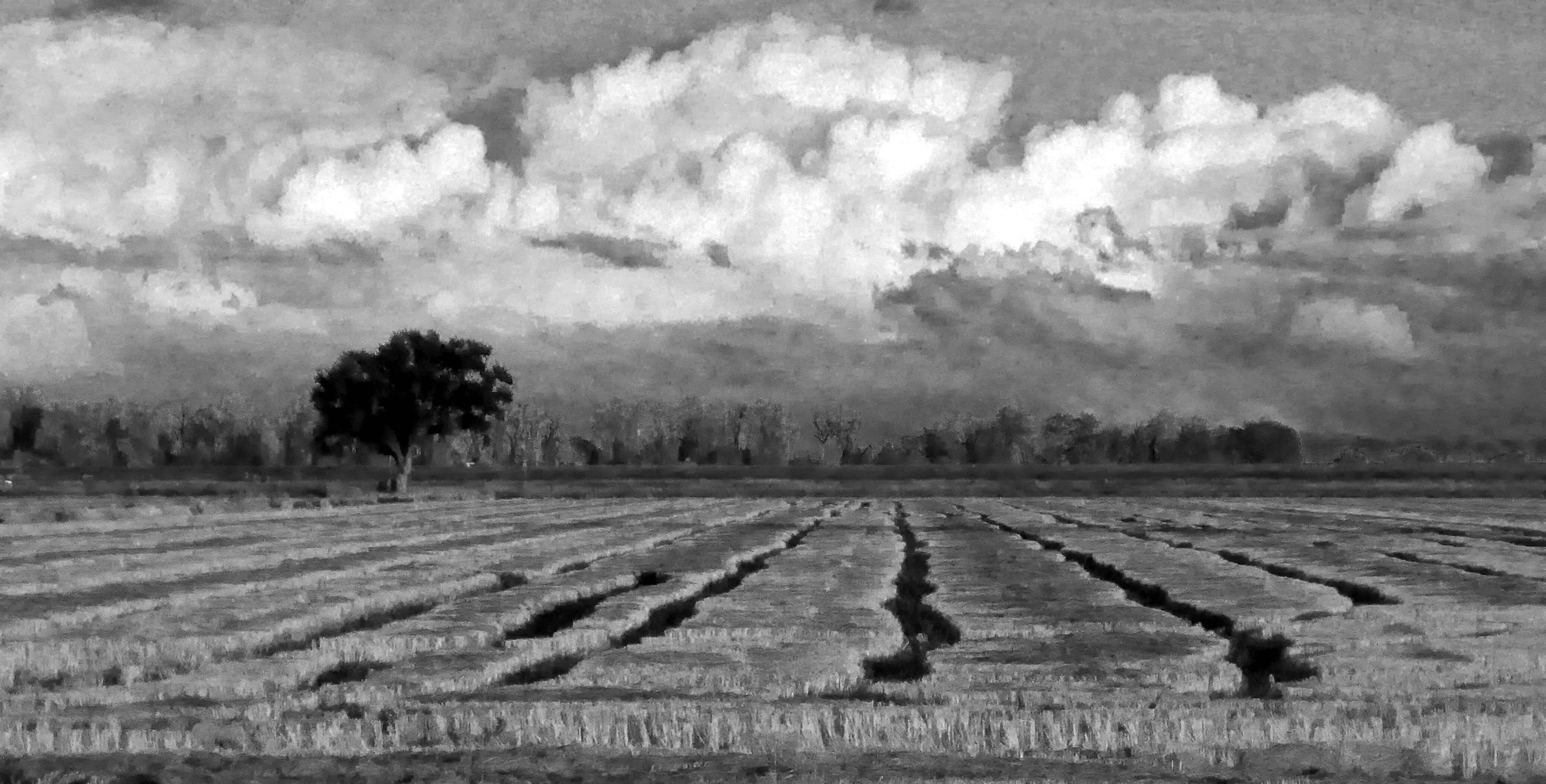
Sunset Tree and Plow Lines
square squareformat iphoneography instagramapp uploaded:by=instagram foursquare:venue=4baea636f964a520d4ca3be3
Great #sunset & #magichour on the boat tonight. Good times with friends on the river. #relax #cheers #travel
california pink sunset sky yellow clouds canon woodland landscape sunflower yolo waynetilcock
Sunflower Sunset
P1040004 Sunset field_Colusa County Road 45_Dec 4 2014
california architecture golf landscape us unitedstates landscaping structures architectural countryclub ucdavis privategolfcourse chandlerhistorical
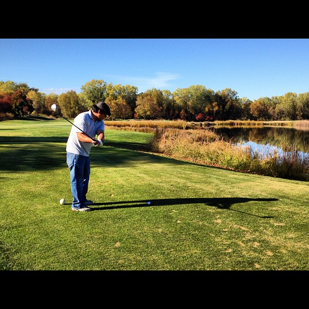
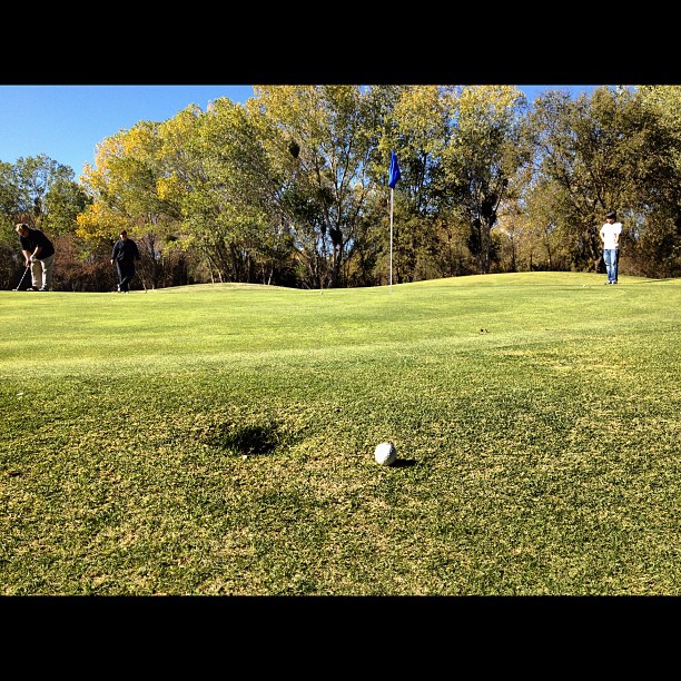
UC Davis Golf- Travel to Washington
california flowers sunset sky tree yellow clouds woodland oak sunflower davis valleyoak yolo
Sunflowers and Oak
square squareformat iphoneography instagramapp uploaded:by=instagram foursquare:venue=4b0586b6f964a520df6a22e3
Bert on the 17th. Going over water.
california flowers sunset sky yellow clouds woodland nikon sunflower davis yolo
Woodland Sunflowers
square squareformat iphoneography instagramapp uploaded:by=instagram foursquare:venue=4b0586b6f964a520df6a22e3
Work Meeting.
sunset cloud
Norcal Sunset
Mustard field
california woodland unitedstates
IMG_8159.JPG
california woodland unitedstates
IMG_8401.JPG