Elevation of 1st St, Yolo, CA, USA
Location: United States > California > Yolo County > Yolo >
Longitude: -121.80664
Latitude: 38.73203
Elevation: 23m / 75feet
Barometric Pressure: 101KPa
Elevation Map:
Satellite Map:
Related Photos:
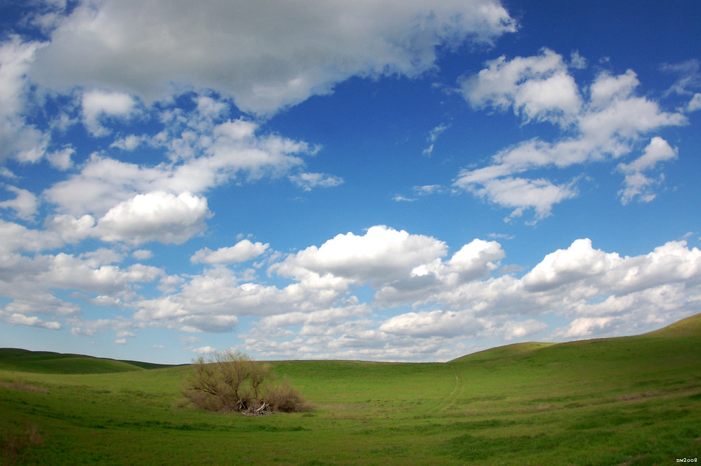
" Infinity and Beyond "

Abandoned Barn

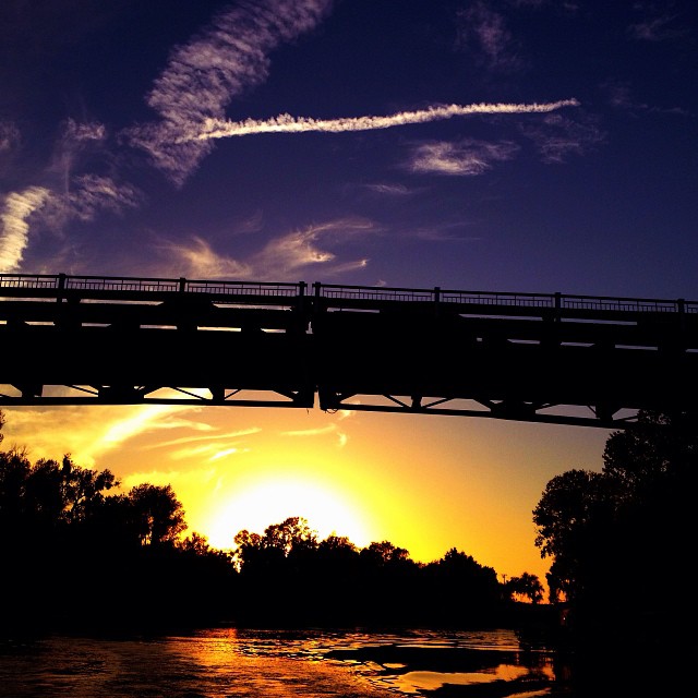
Knights Landing Bridge

Dig My Ride? : Yolo County, California
Forever Wine Grapes: Dunnigan Hills, California
Waiting for Wind: Dunnigan Hills, California

Windmill Water Trough: Zamora, California
Sierra Northern Dinner Train on the Woodland Trestle
Floodplain Farming: Fremont Weir, near Sacramento, California

Holly Rocks
TTV Series: Railroad

Davis High Pioneer Football Williams
Driver side view. #portlandbound #mytinyatlas #land #pnw

Davis High Pioneer Football Nelson
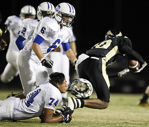
Davis High Pioneer Football Castro

Porter Building 2
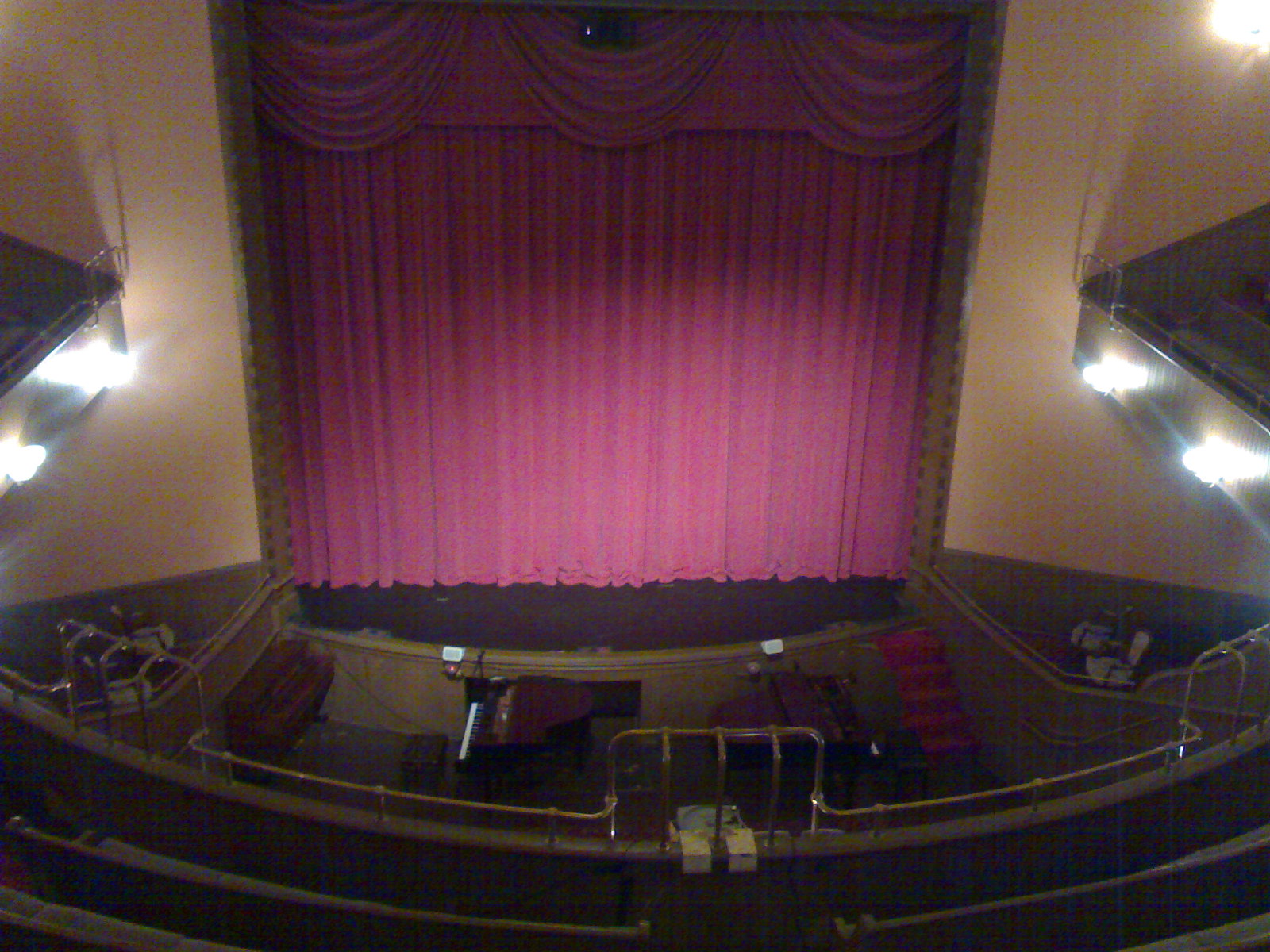
Woodland Opera House view from the balcony

Maria's Eye View
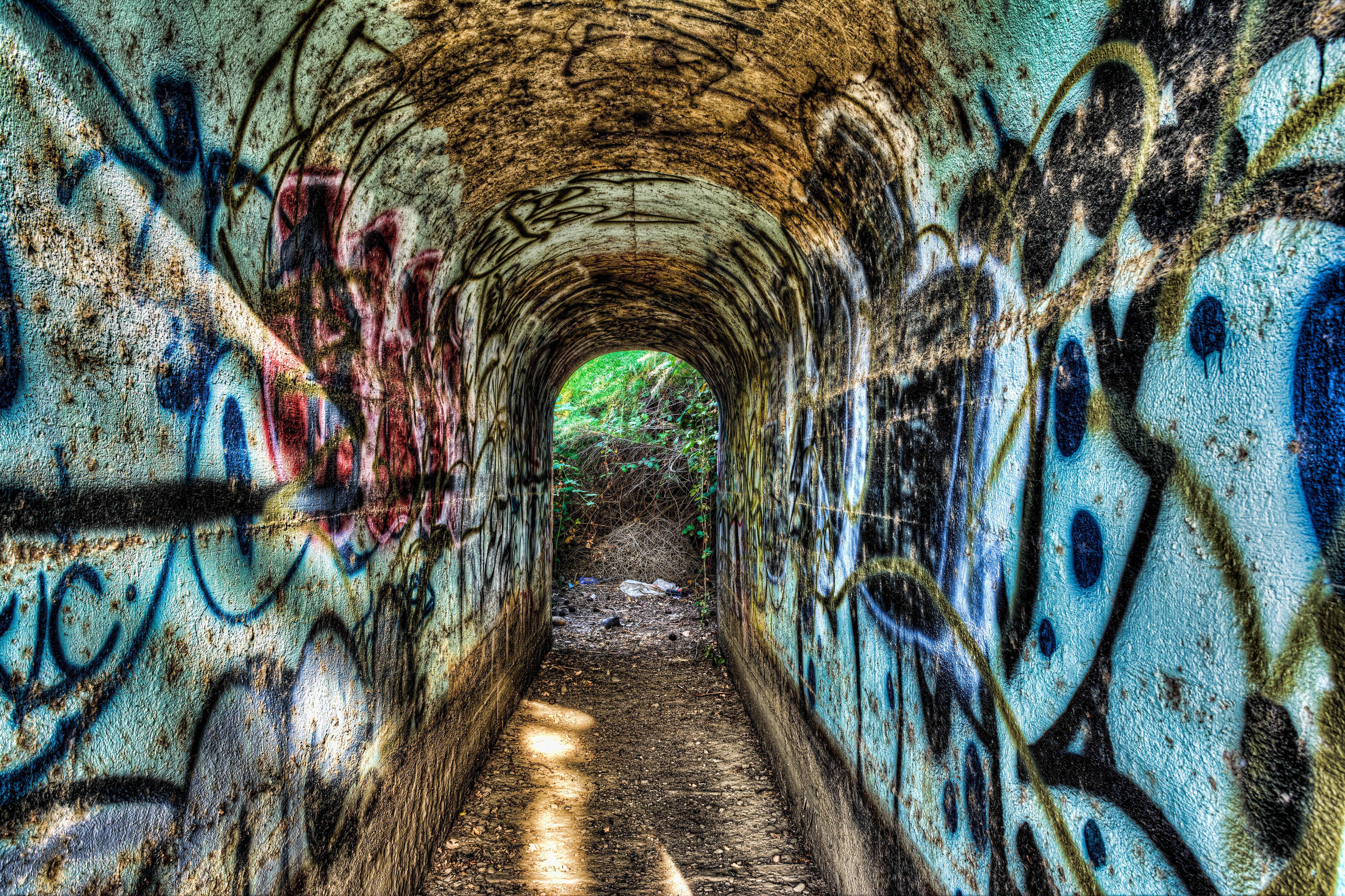
Tunnel-02
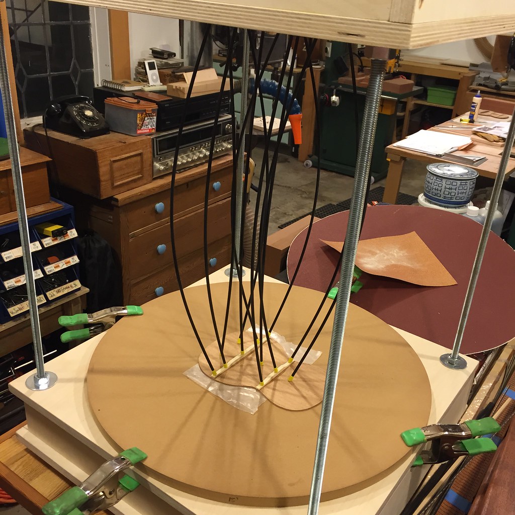
Radius Jig

TTV Series: Boxcar

Sunflowers and Oak

Woodland Sunflowers

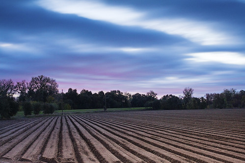
Sunset Tree and Plow Lines

Changes to Come

Yolo County wheat sunset
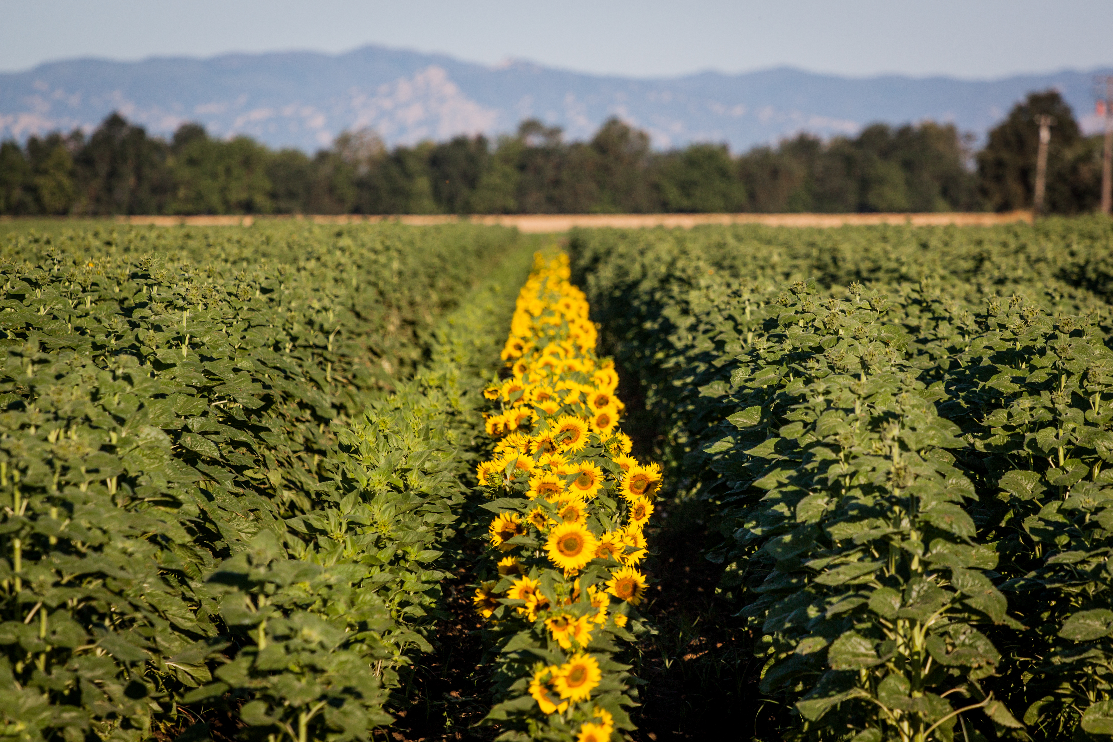
Sunflower Row 1

Sunflower Fields
5o5 rolling
Fourmile Bend, Sacramento River

Sunflowers by Mary's Chapel, Yolo CA

Drive.
#Sunset under the bridge near #Sacramento, #California . #cruise #relax #water #magichour

Norcal Sunset
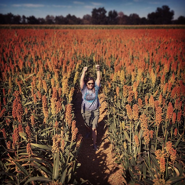
Last picture from the pumpkin patch: Carolyn defeats the Milo Maze.
IMG_8159.JPG
Getting to Woodland
Topographic Map of 1st St, Yolo, CA, USA
Find elevation by address:

Places near 1st St, Yolo, CA, USA:
Yolo
37375 Co Rd 17
20 W Kentucky Ave
2 W Kentucky Ave
12100 Co Rd 96
12100 Co Rd 96
CR 99W, Yolo, CA, USA
17 Orange St
155 N West St
W Main St, Woodland, CA, USA
244 Cole Ct
36459 Co Rd 21
Co Rd 18C, Woodland, CA, USA
Becket Lane
Jackson Street
19 Jackson St
Woodland
1st Street
1368 Nyack Pl
201 Dr Claassen Way
Recent Searches:
- Elevation of Congressional Dr, Stevensville, MD, USA
- Elevation of Bellview Rd, McLean, VA, USA
- Elevation of Stage Island Rd, Chatham, MA, USA
- Elevation of Shibuya Scramble Crossing, 21 Udagawacho, Shibuya City, Tokyo -, Japan
- Elevation of Jadagoniai, Kaunas District Municipality, Lithuania
- Elevation of Pagonija rock, Kranto 7-oji g. 8"N, Kaunas, Lithuania
- Elevation of Co Rd 87, Jamestown, CO, USA
- Elevation of Tenjo, Cundinamarca, Colombia
- Elevation of Côte-des-Neiges, Montreal, QC H4A 3J6, Canada
- Elevation of Bobcat Dr, Helena, MT, USA