Elevation of Co Rd 96, Woodland, CA, USA
Location: United States > California > Yolo County > Woodland >
Longitude: -121.83941
Latitude: 38.6984024
Elevation: 28m / 92feet
Barometric Pressure: 101KPa
Elevation Map:
Satellite Map:
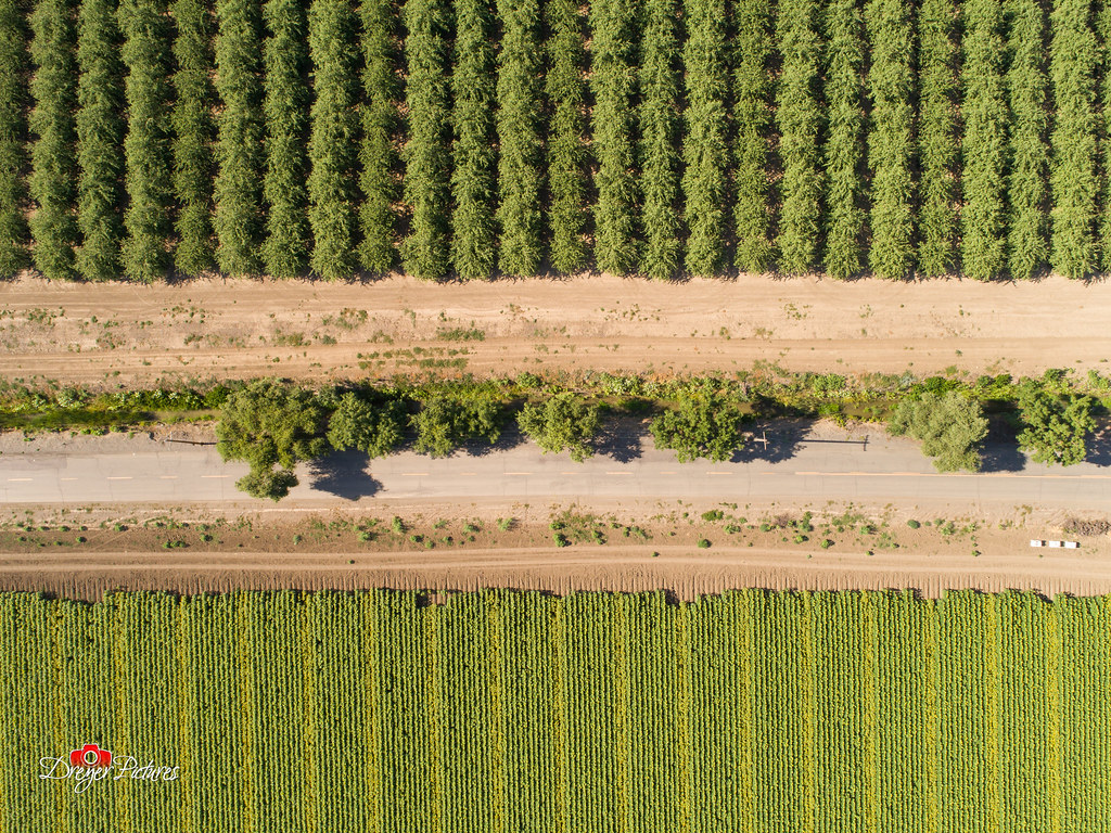
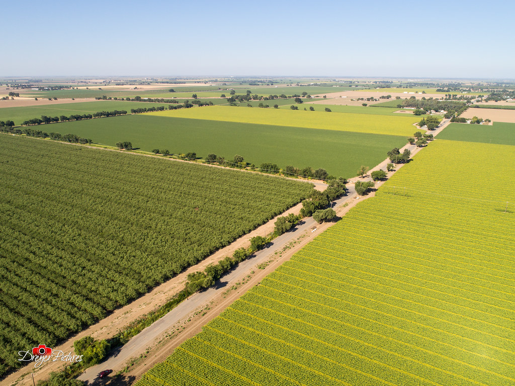
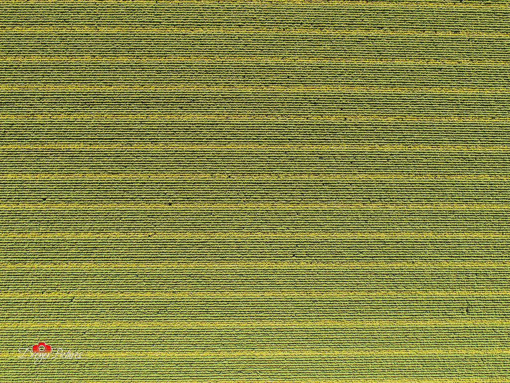
Related Photos:
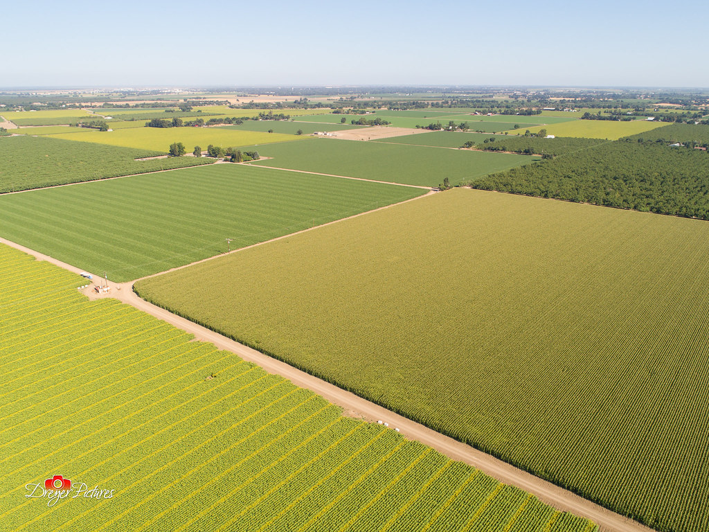
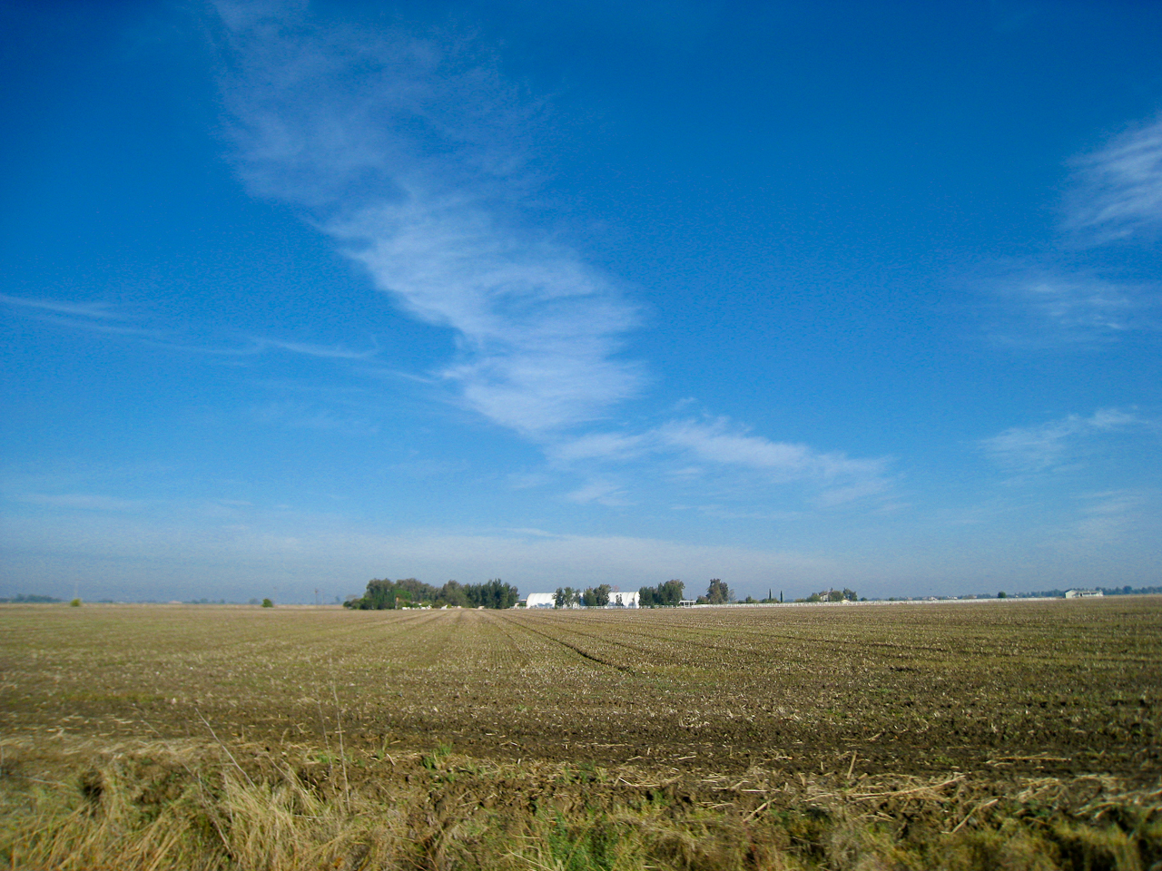
Sunflowers around Woodland, California
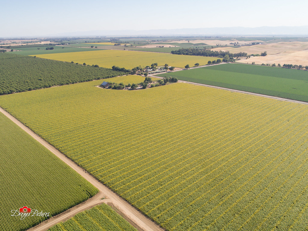
Sunflowers around Woodland, California
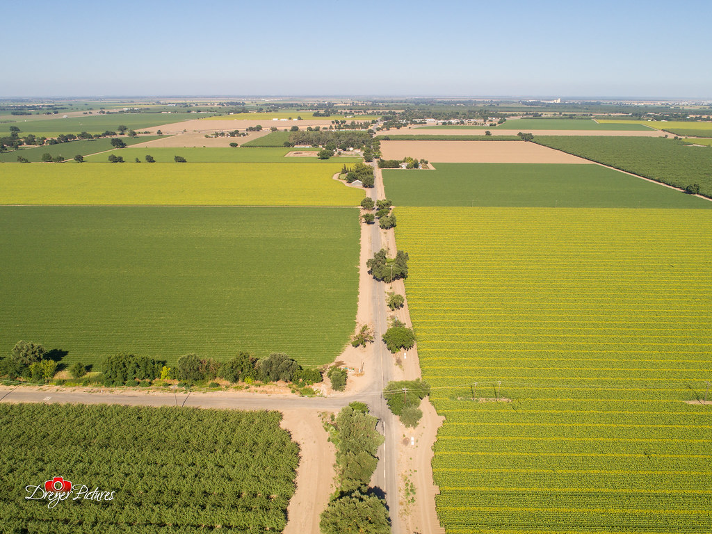
Sunflowers around Woodland, California
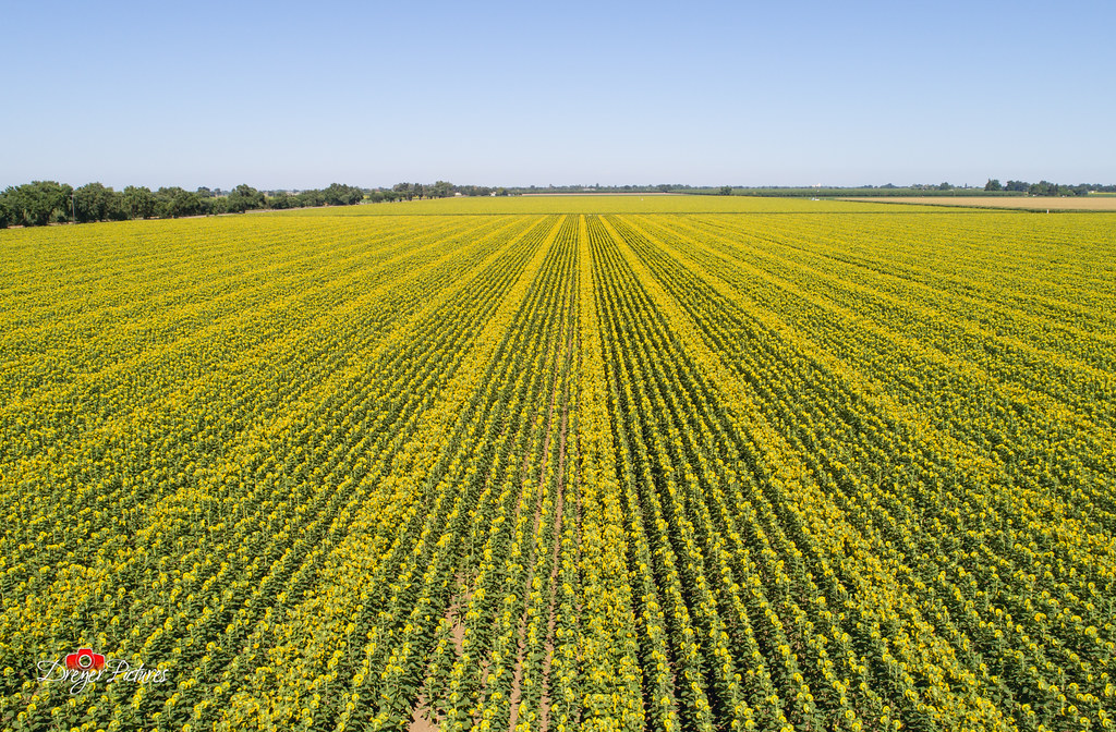
Sunflowers around Woodland, California
Sunflowers around Woodland, California
Sunflowers around Woodland, California
Sunflowers around Woodland, California

Abandoned Barn

Sunflowers around Woodland, California
Spring Storm Gloom: Dunnigan Hills, California

Dig My Ride? : Yolo County, California

Waiting for Wind: Dunnigan Hills, California

Windmill Water Trough: Zamora, California
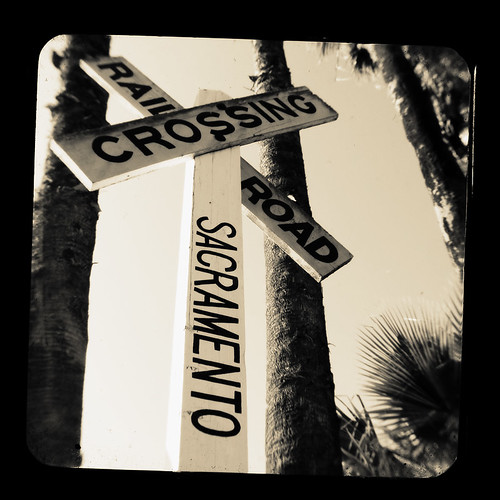
TTV Series: Railroad

TTV Series: Boxcar

a grassy swale

Davis High Pioneer Football Nelson
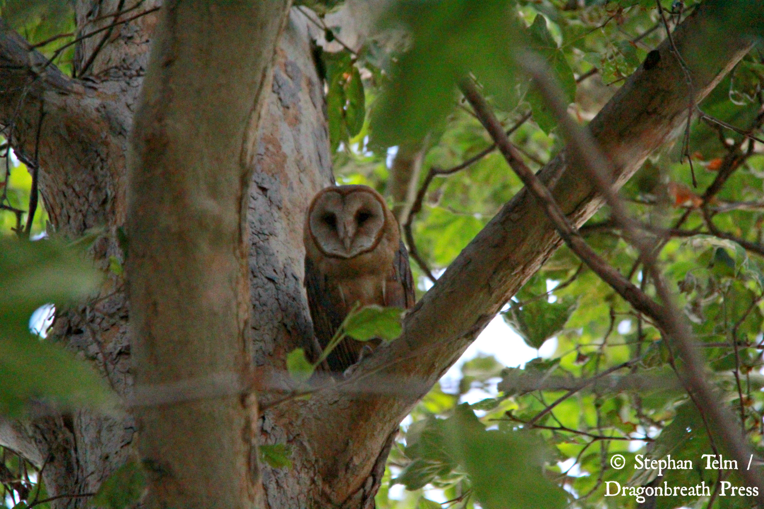
IMG_5831_Barn owl #1

Davis High Pioneer Football Castro

Sunflowers around Woodland, California

IMG_4720_Davis sunset

Sunflower Fields

Woodland Sunflowers

Sunflower Wheat Sunset

Last picture from the pumpkin patch: Carolyn defeats the Milo Maze.

Almond trees at #sunset
5o5 rolling
Yolo County

Day Gone

Forever Wine Grapes: Dunnigan Hills, California

Sunflowers by Mary's Chapel, Yolo CA

Dunnigan Hills drive, County Route E10, Yolo County, May 6, 2011 (2)

Sunflower Sunset
20091017-093233
MONW 2

IMG_0233_Davis Sunset

Sunset Tree and Plow Lines

Norcal Sunset
Topographic Map of Co Rd 96, Woodland, CA, USA
Find elevation by address:

Places near Co Rd 96, Woodland, CA, USA:
12100 Co Rd 96
36459 Co Rd 21
17 Orange St
W Main St, Woodland, CA, USA
37375 Co Rd 17
1st St, Yolo, CA, USA
Yolo
Becket Lane
20 W Kentucky Ave
2 W Kentucky Ave
155 N West St
CR 99W, Yolo, CA, USA
244 Cole Ct
Woodland
1st Street
19 Jackson St
Jackson Street
1368 Nyack Pl
Co Rd 18C, Woodland, CA, USA
201 Dr Claassen Way
Recent Searches:
- Elevation of Congressional Dr, Stevensville, MD, USA
- Elevation of Bellview Rd, McLean, VA, USA
- Elevation of Stage Island Rd, Chatham, MA, USA
- Elevation of Shibuya Scramble Crossing, 21 Udagawacho, Shibuya City, Tokyo -, Japan
- Elevation of Jadagoniai, Kaunas District Municipality, Lithuania
- Elevation of Pagonija rock, Kranto 7-oji g. 8"N, Kaunas, Lithuania
- Elevation of Co Rd 87, Jamestown, CO, USA
- Elevation of Tenjo, Cundinamarca, Colombia
- Elevation of Côte-des-Neiges, Montreal, QC H4A 3J6, Canada
- Elevation of Bobcat Dr, Helena, MT, USA