Elevation of Cranmore Rd, Knights Landing, CA, USA
Location: United States > California > Sutter County > Knights Landing >
Longitude: -121.81590
Latitude: 38.9411426
Elevation: 10m / 33feet
Barometric Pressure: 101KPa
Elevation Map:
Satellite Map:
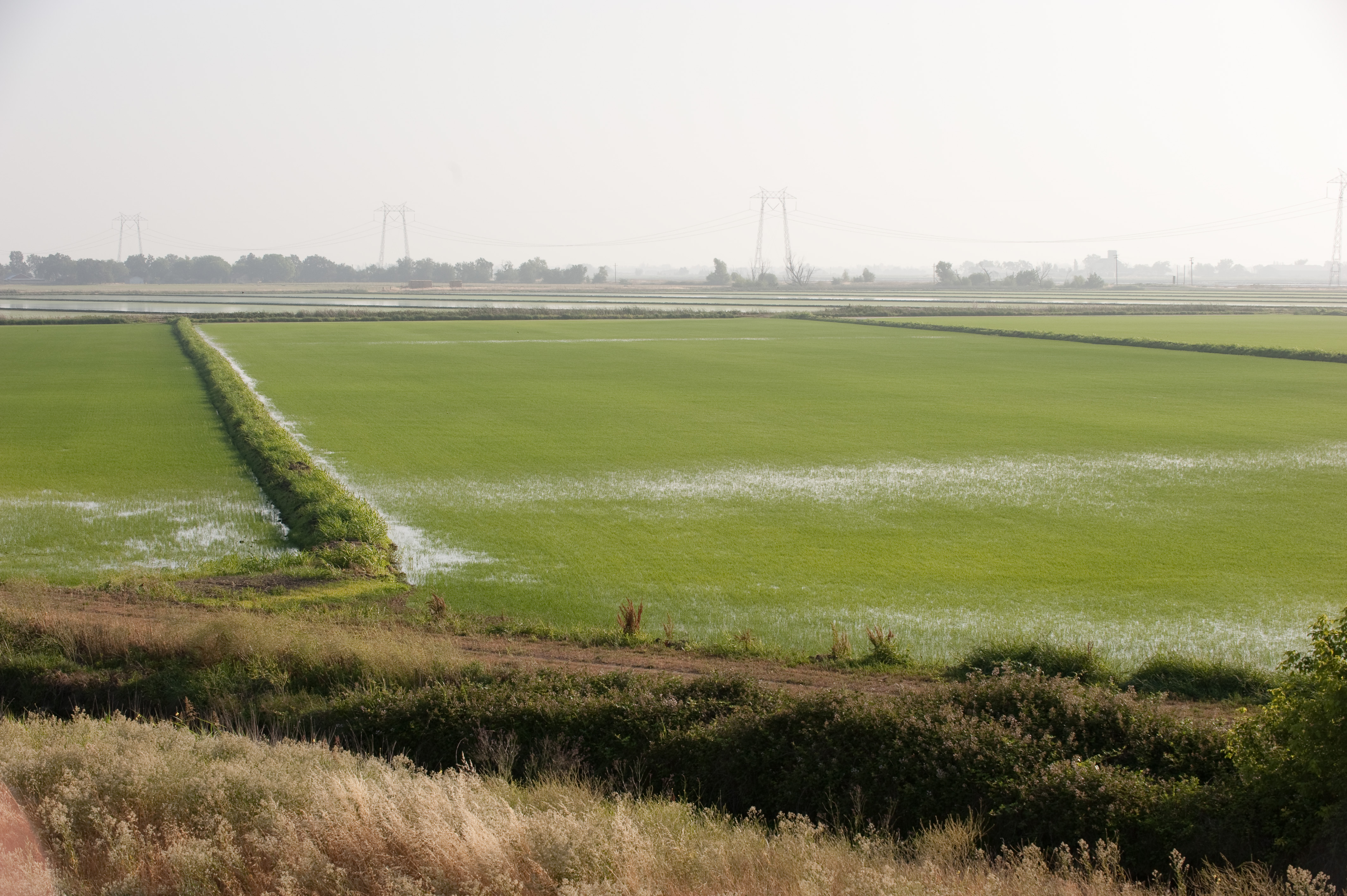
Related Photos:

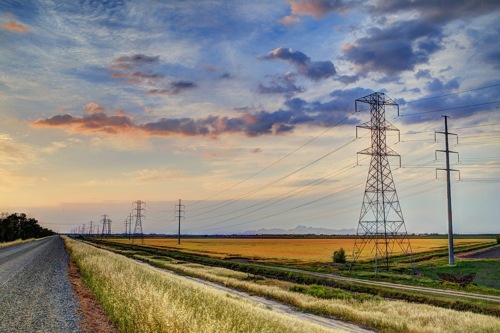
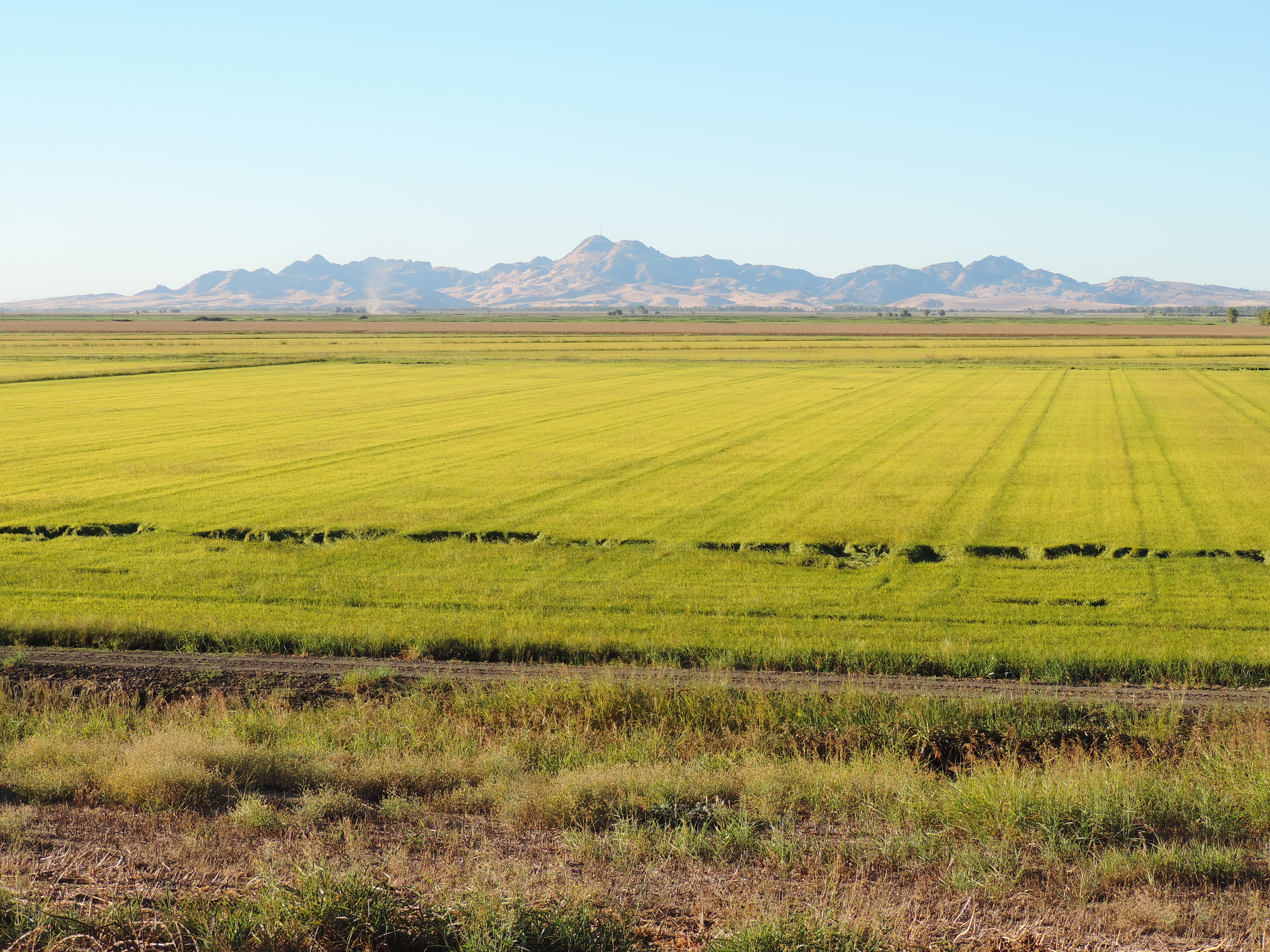
Rest Area View

Sunflower Panorama

Sunflower Panorama
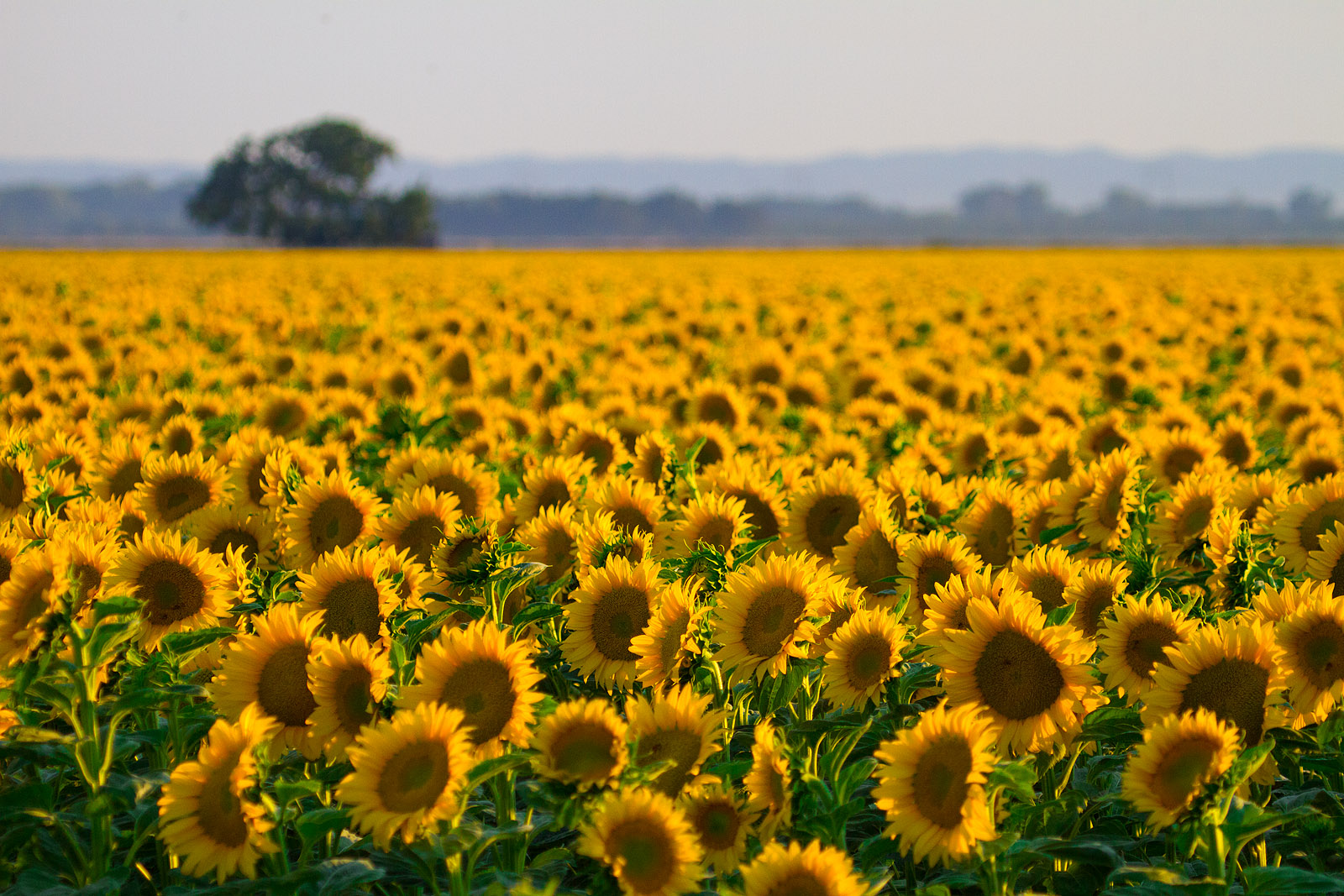
Sunflower Field
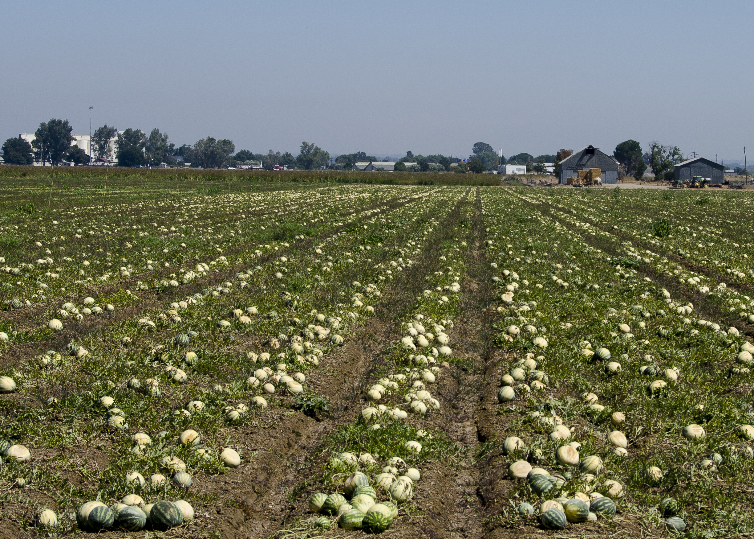
Mellon Crop
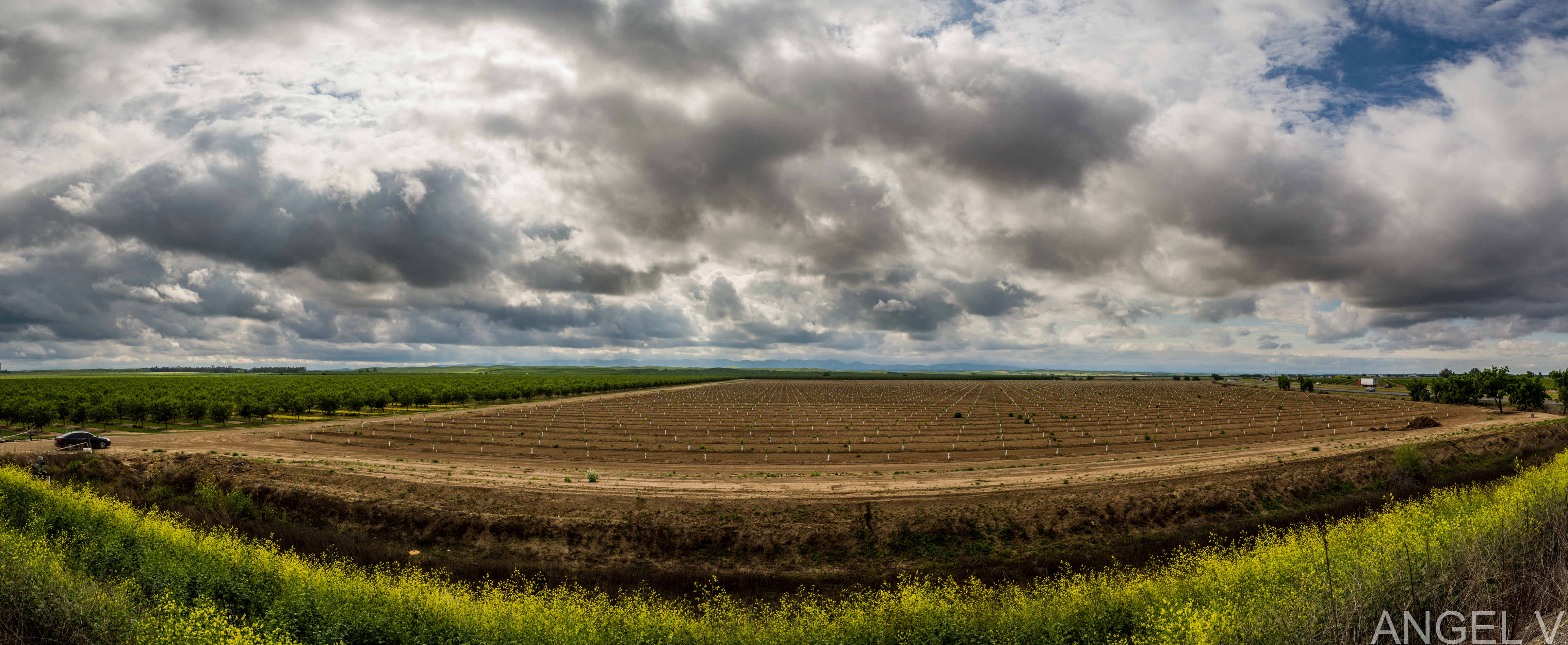
April Showers
Fourmile Bend, Sacramento River
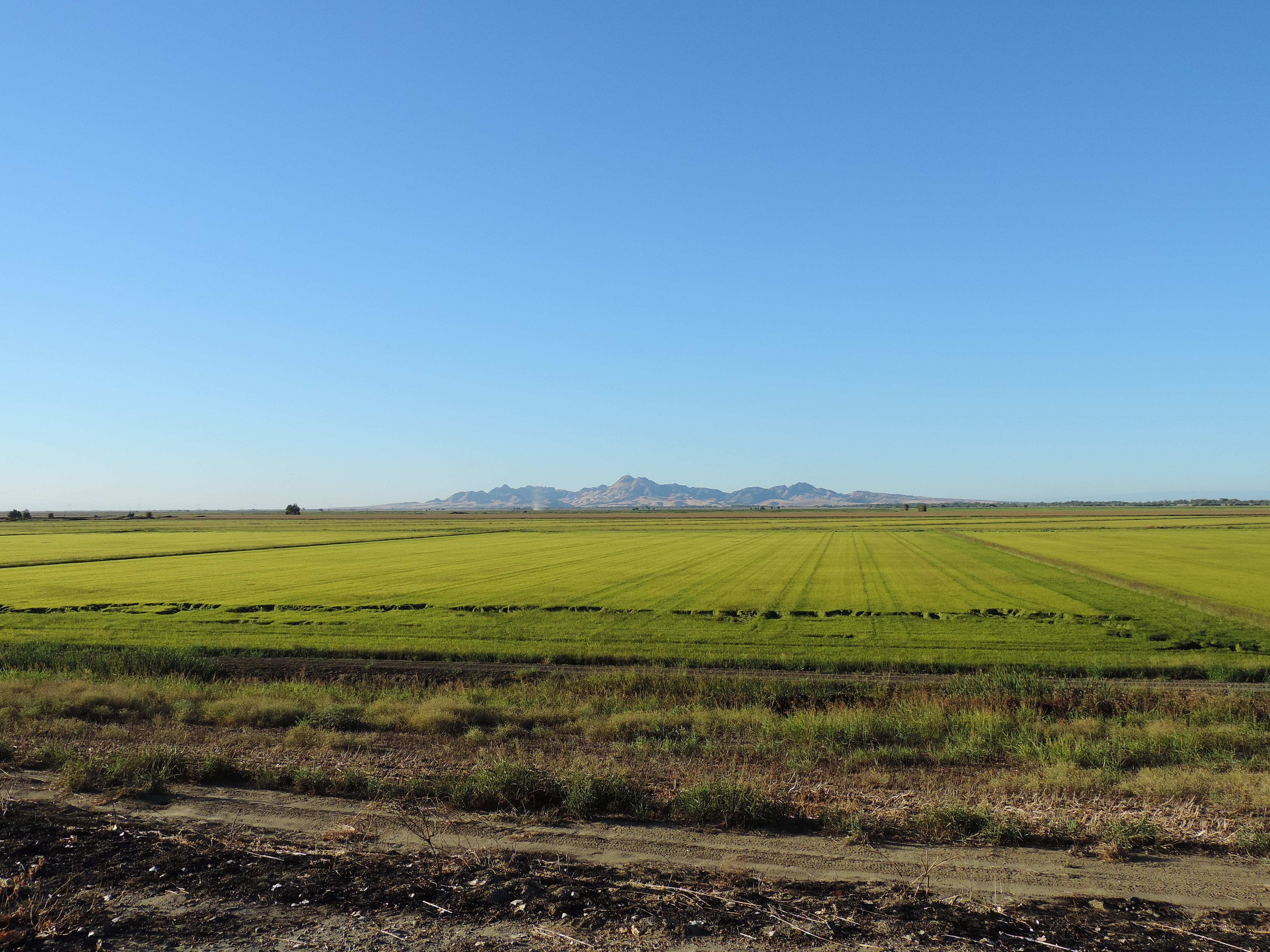
Country Road
09.0525-JTP_2053
Country Road (Panoramic)
Sutter Buttes from Oswald Road, Sutter County, CA
Sutter Buttes from Oswald Road, Sutter County, CA

Country Road II
09.0525-JTP_2052
P1040004 Sunset field_Colusa County Road 45_Dec 4 2014

One Last Sunflower for the Weekend
Sutter Buttes from Oswald Road, Sutter County, CA
09.0525-JTP_2050

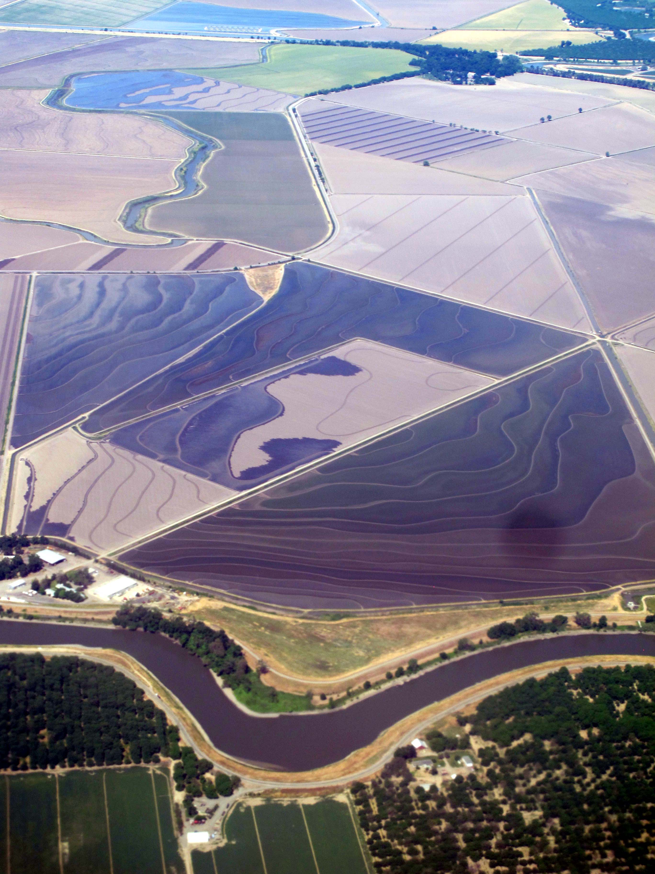
Sacramento River, RM 123.5 Hydro Survey

UC Davis Golf- Travel to Washington
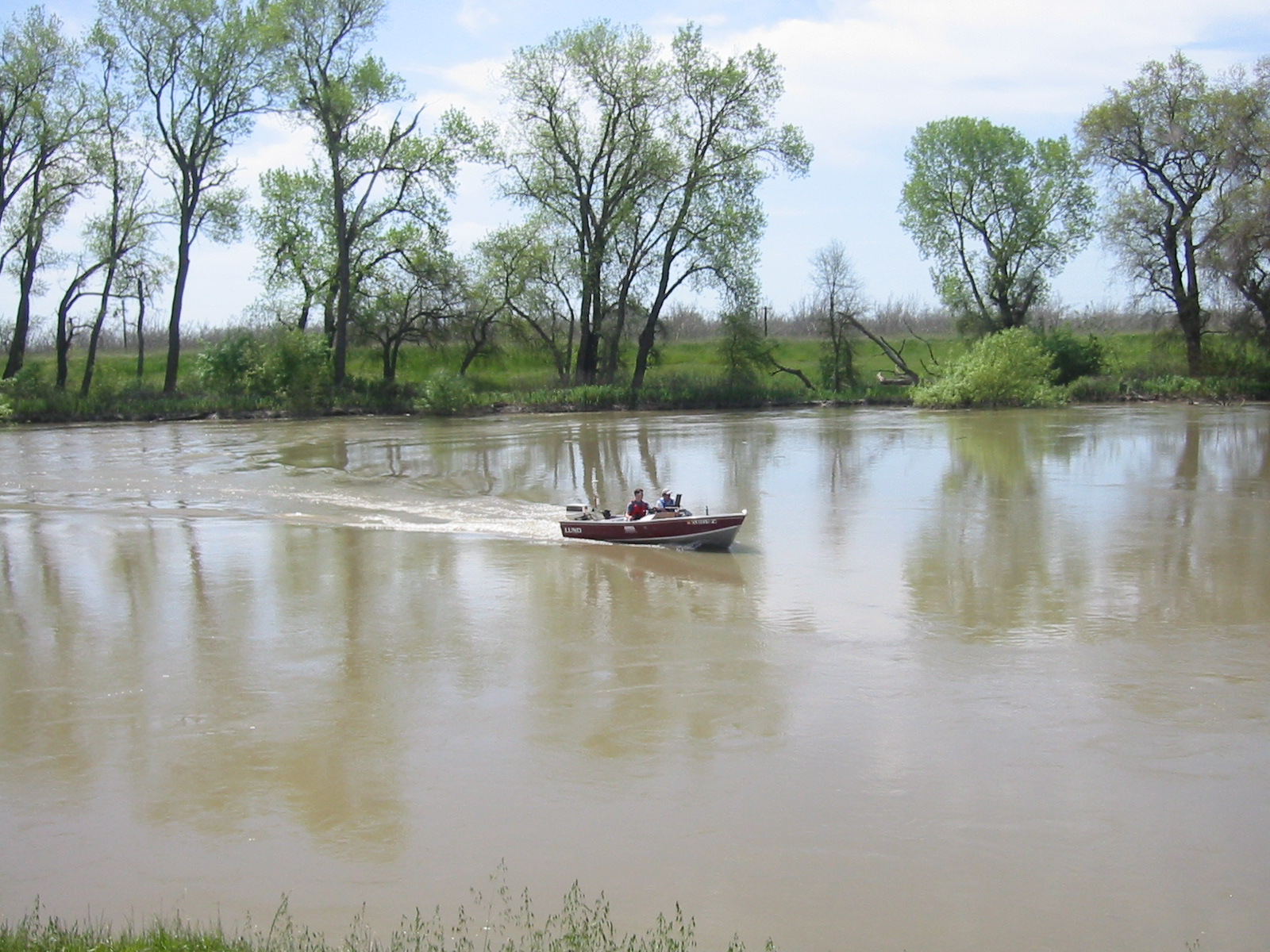
Sacramento River Hydro Survey
Topographic Map of Cranmore Rd, Knights Landing, CA, USA
Find elevation by address:

Places near Cranmore Rd, Knights Landing, CA, USA:
Millers Landing Rd, Meridian, CA, USA
Kirksville Rd, Knights Landing, CA, USA
8 Wilson Bend Rd, Meridian, CA, USA
Progress Rd, Meridian, CA, USA
Robbins
Del Monte Ave, Robbins, CA, USA
Main St, California, USA
Progress Rd, Meridian, CA, USA
Zamora
Sutter County
Dunnigan
9305 Schlagle Rd
Knights Landing
Yuba City, CA, USA
CR 99W, Dunnigan, CA, USA
8639 Hobbs Rd
Marty Street
CR 99W, Yolo, CA, USA
Major Rd, Yuba City, CA, USA
Yolo County
Recent Searches:
- Elevation of Corcoran Ln, Suffolk, VA, USA
- Elevation of Mamala II, Sariaya, Quezon, Philippines
- Elevation of Sarangdanda, Nepal
- Elevation of 7 Waterfall Way, Tomball, TX, USA
- Elevation of SW 57th Ave, Portland, OR, USA
- Elevation of Crocker Dr, Vacaville, CA, USA
- Elevation of Pu Ngaol Community Meeting Hall, HWHM+3X7, Krong Saen Monourom, Cambodia
- Elevation of Royal Ontario Museum, Queens Park, Toronto, ON M5S 2C6, Canada
- Elevation of Groblershoop, South Africa
- Elevation of Power Generation Enterprises | Industrial Diesel Generators, Oak Ave, Canyon Country, CA, USA