Elevation of CR 99W, Dunnigan, CA, USA
Location: United States > California > Yolo County > Dunnigan >
Longitude: -121.99513
Latitude: 38.92371
Elevation: 42m / 138feet
Barometric Pressure: 101KPa
Elevation Map:
Satellite Map:
Related Photos:

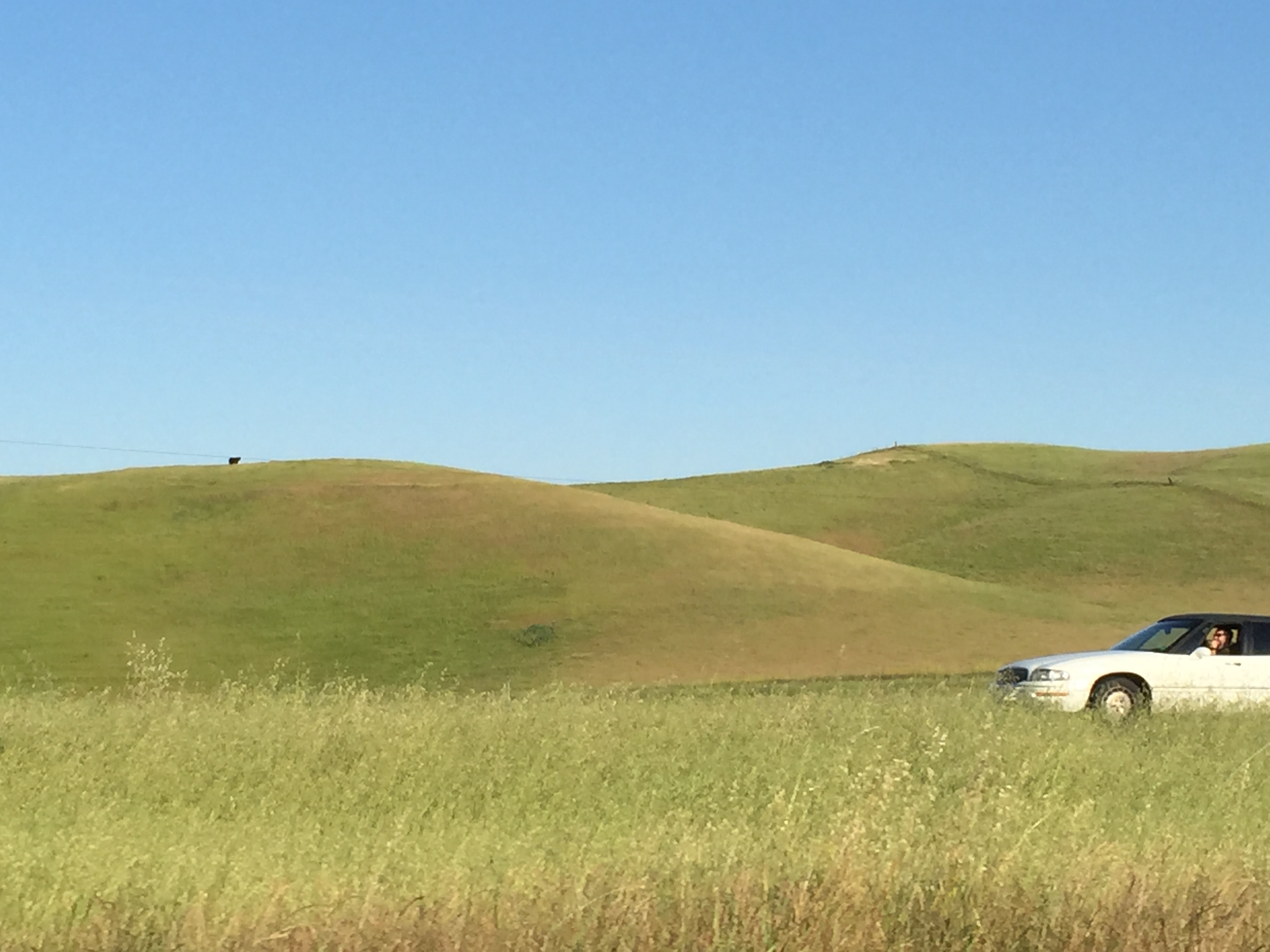
Dig My Ride? : Yolo County, California
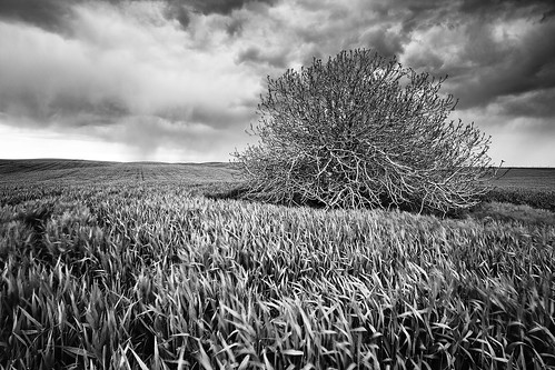
Spring Storm Gloom: Dunnigan Hills, California
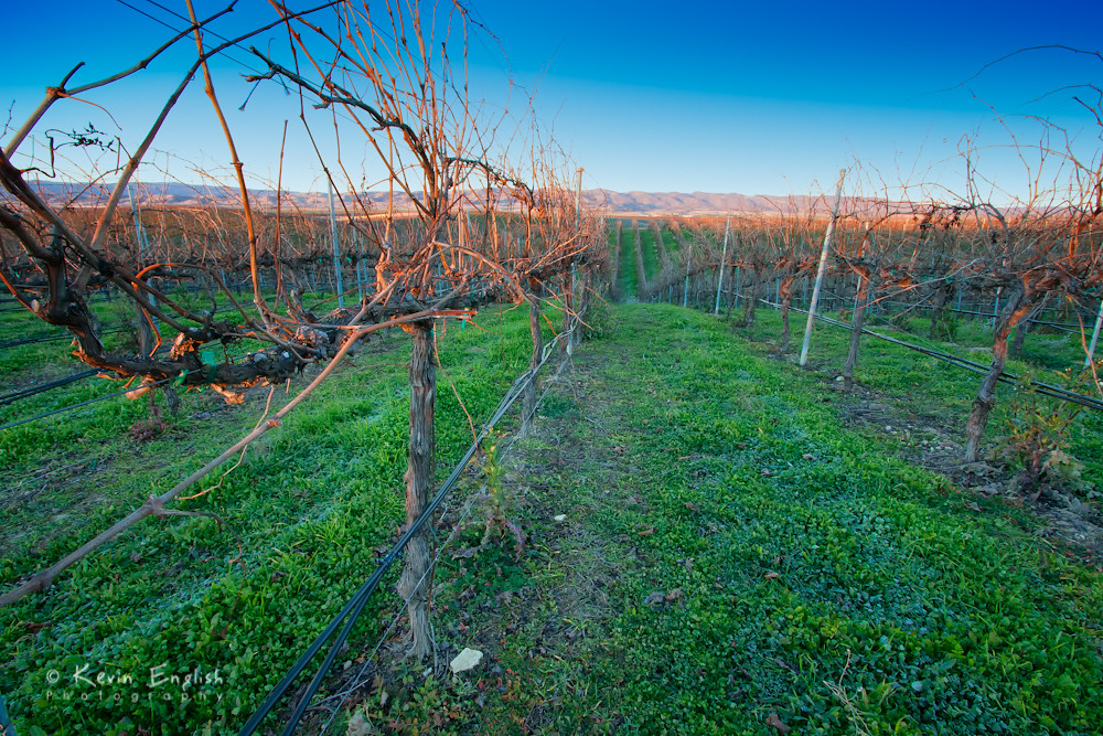
Dormant vinyard at R.H. Phillips winery in the Dunnigan Hills

Rest Area View
From the Central Division to the Central Valley

Lunch at the winery
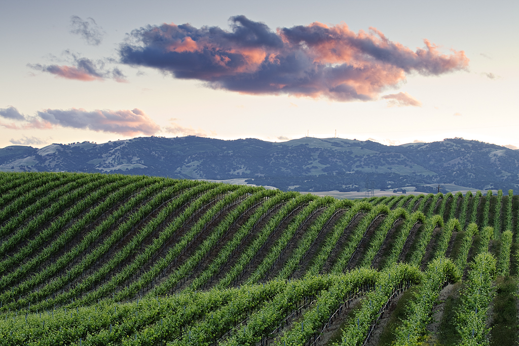
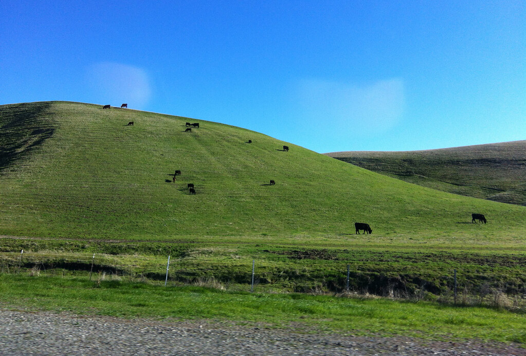
The Green Sea: Dunnigan Hills, California
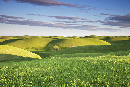
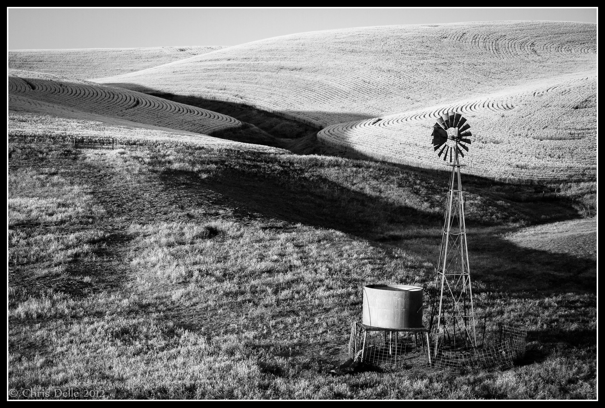
Green Hills of Earth: Dunnigan Hills, California
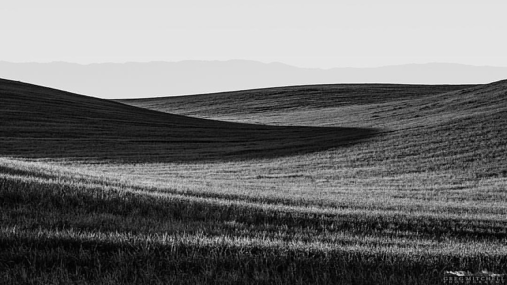
#silvershadow #limitededitionphotograph #blackandwhite #monochrome #visityolo #visitcalifornia #yolocounty #dunniganhills #ignorcal #916igers #gregmitchellphotography #tactilephoto
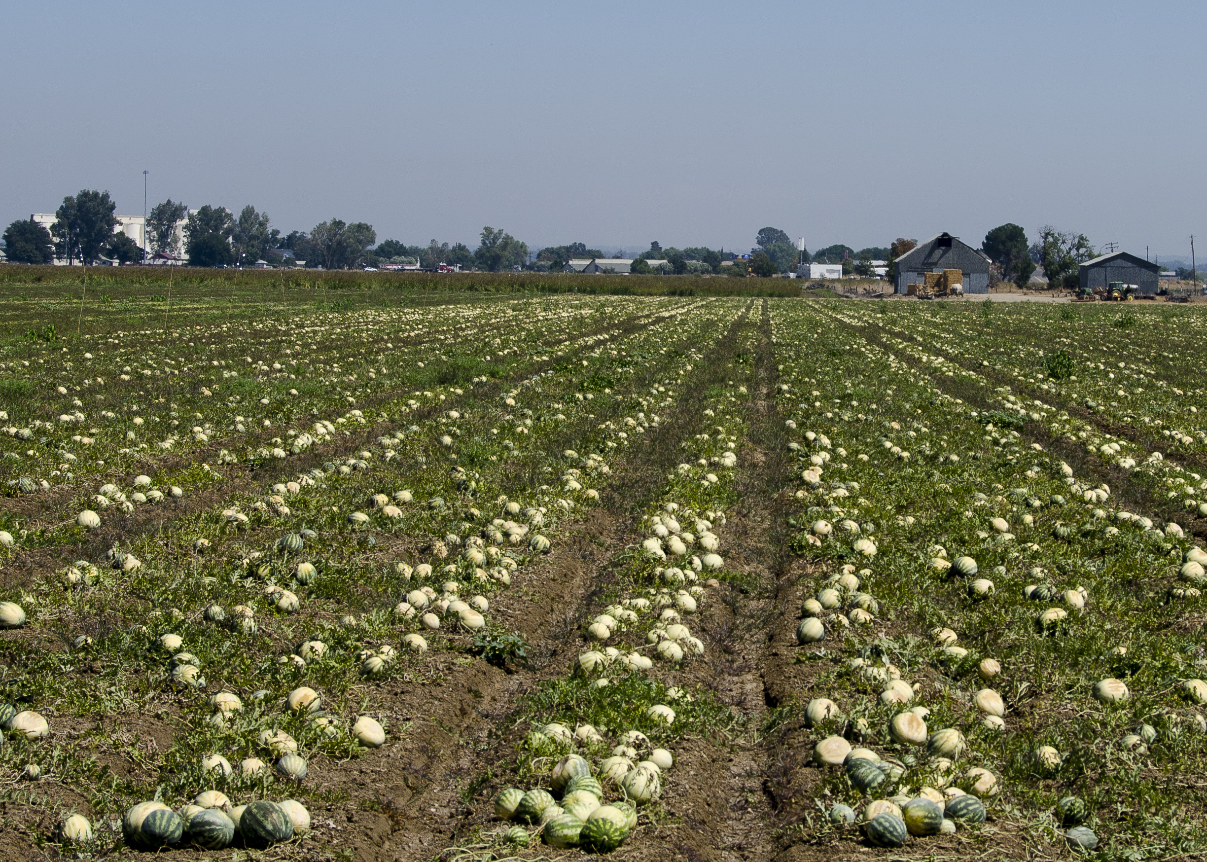
Mellon Crop

Sea of Mustard

California Rice Paddy

Thinking of Bliss
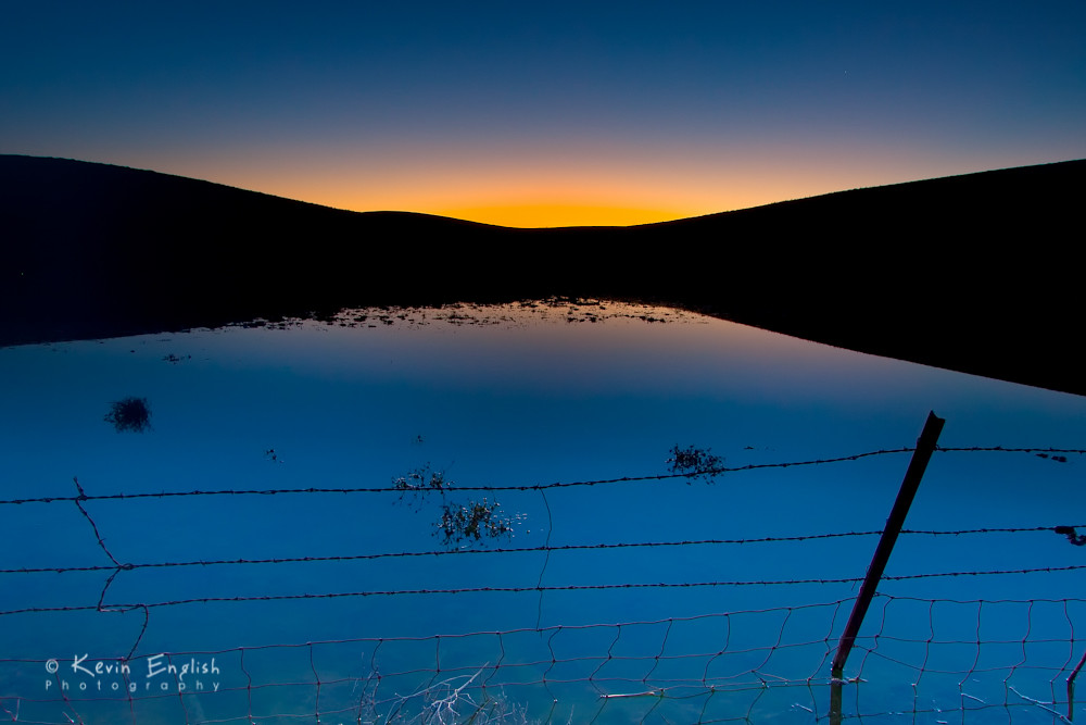
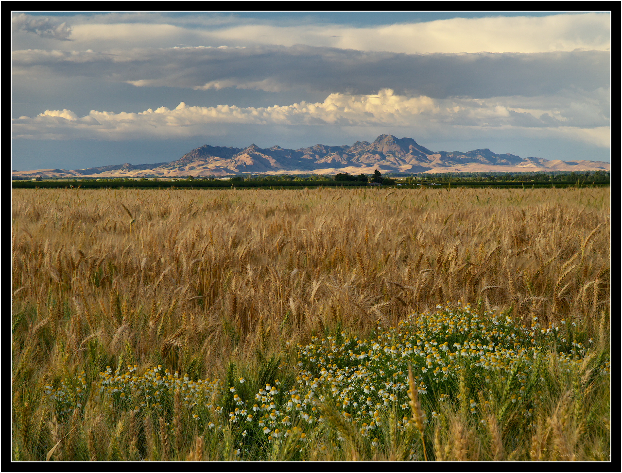
Dawn in the Dunnigan Hills
Sutter Buttes

Crop in the Field
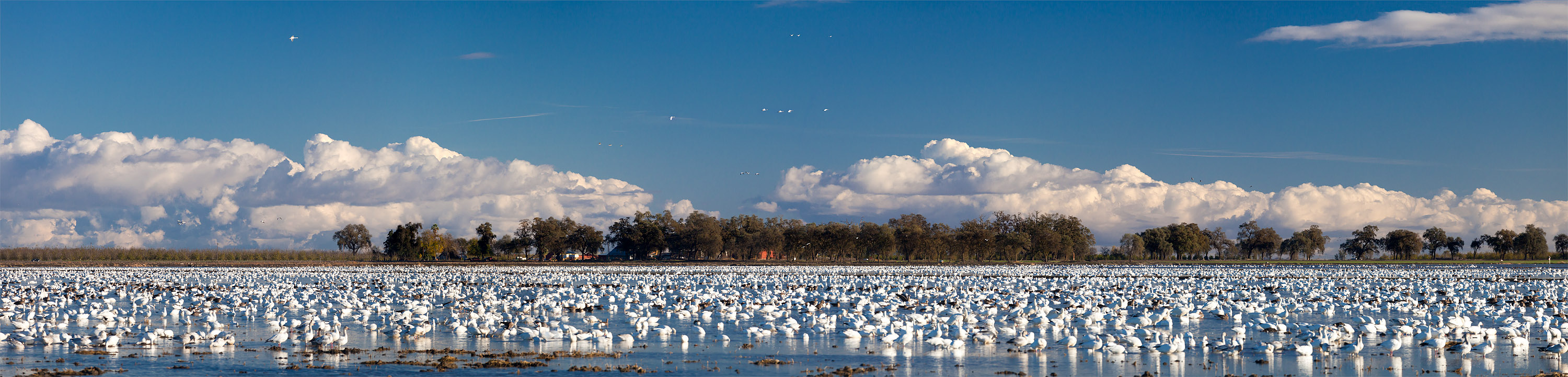
Snow Geese near Grimes, in the Sacramento Valley

Sutter Buttes, California
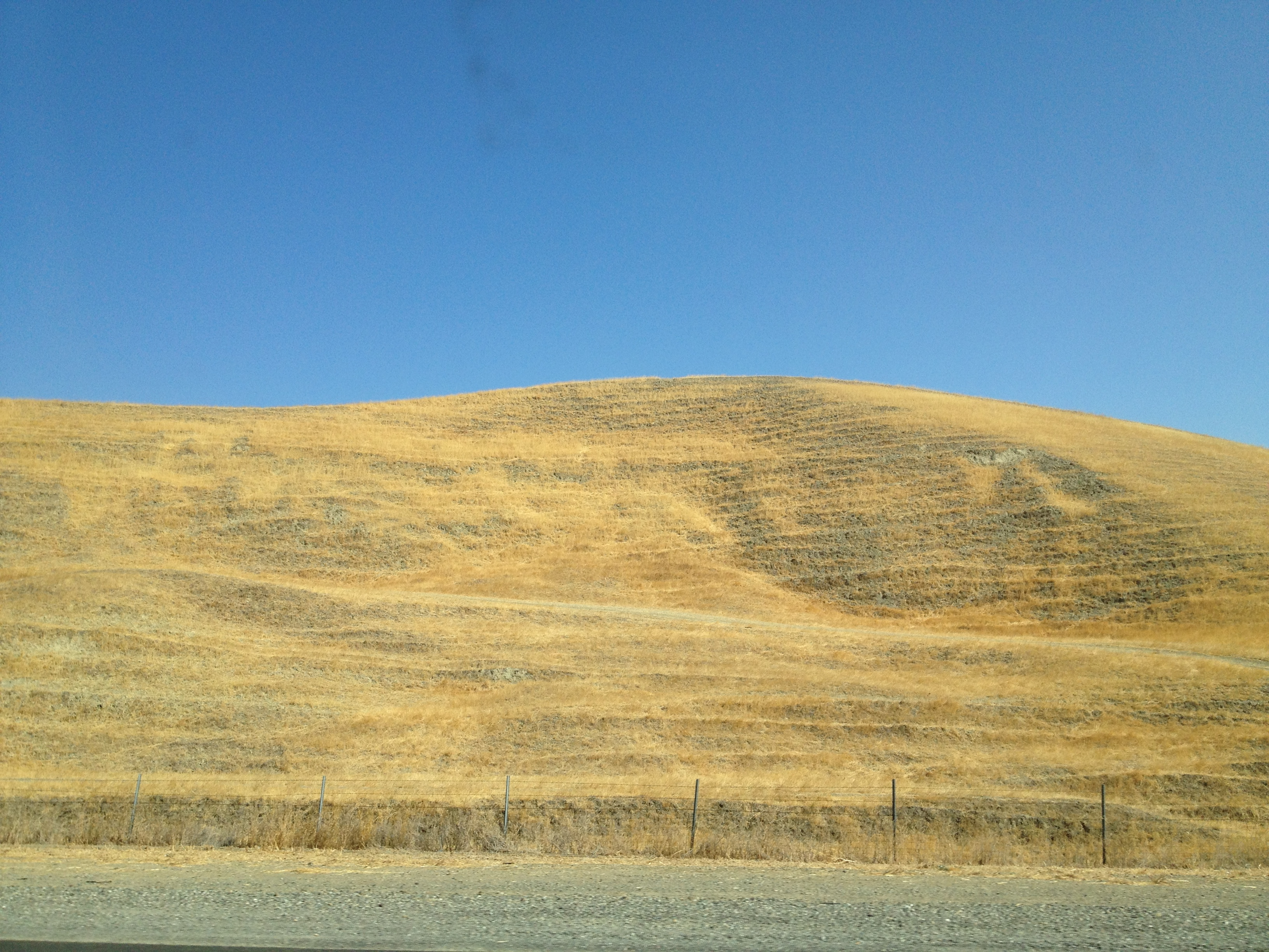
Dunnigan Hills
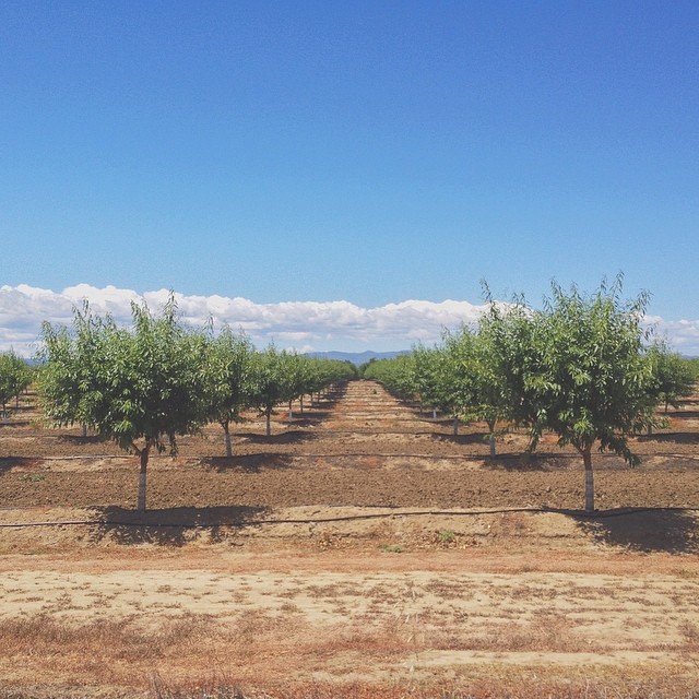
Alive on I-5 :: #arbuckle #california #interstate #5 #i5 #road #trip #roadtrip #orchard #field #coastal #range #mountains #clouds #sky #landscape #farm #beautiful #outdoors
West Coast road trip Day 2
San Francisco trip
Camera Roll-79
Topographic Map of CR 99W, Dunnigan, CA, USA
Find elevation by address:

Places near CR 99W, Dunnigan, CA, USA:
Dunnigan
7th St, Arbuckle, CA, USA
Arbuckle
5th St, Arbuckle, CA, USA
Millers Landing Rd, Meridian, CA, USA
Zamora
Cranmore Rd, Knights Landing, CA, USA
Main St, California, USA
Yolo County
8 Wilson Bend Rd, Meridian, CA, USA
Kirksville Rd, Knights Landing, CA, USA
1832 Cortina School Rd
6247 Myers Rd
17977 Co Hwy E4
CR 99W, Yolo, CA, USA
Capay
Kilgore Rd, Meridian, CA, USA
Main St, Capay, CA, USA
CA-16, Capay, CA, USA
17013 Antelope St
Recent Searches:
- Elevation of Leguwa, Nepal
- Elevation of County Rd, Enterprise, AL, USA
- Elevation of Kolchuginsky District, Vladimir Oblast, Russia
- Elevation of Shustino, Vladimir Oblast, Russia
- Elevation of Lampiasi St, Sarasota, FL, USA
- Elevation of Elwyn Dr, Roanoke Rapids, NC, USA
- Elevation of Congressional Dr, Stevensville, MD, USA
- Elevation of Bellview Rd, McLean, VA, USA
- Elevation of Stage Island Rd, Chatham, MA, USA
- Elevation of Shibuya Scramble Crossing, 21 Udagawacho, Shibuya City, Tokyo -, Japan