Elevation of Capay, CA, USA
Location: United States > California > Yolo County >
Longitude: -122.05073
Latitude: 38.7082349
Elevation: 64m / 210feet
Barometric Pressure: 101KPa
Elevation Map:
Satellite Map:
Related Photos:
Waiting for Wind: Dunnigan Hills, California

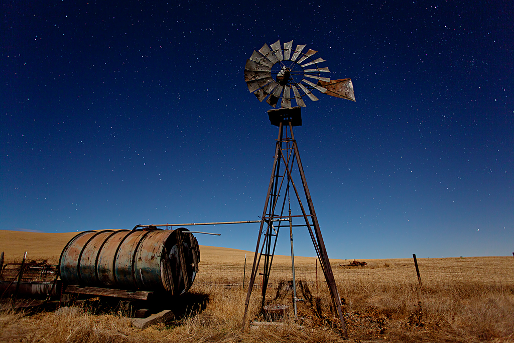
Windmill Water Trough: Zamora, California
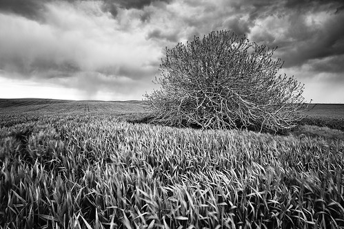
Spring Storm Gloom: Dunnigan Hills, California
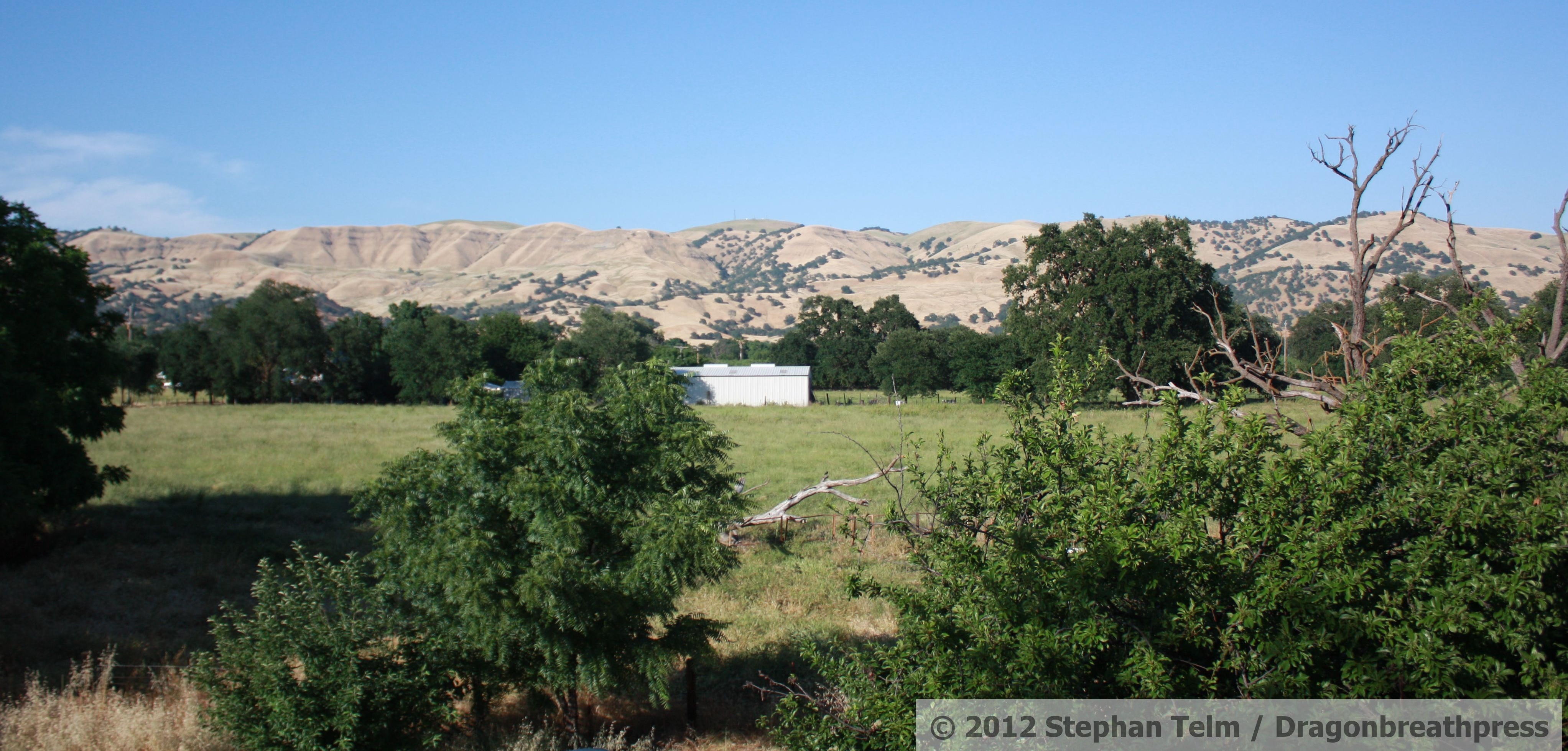
IMG_1193_View from the second floor

Lunch at the winery
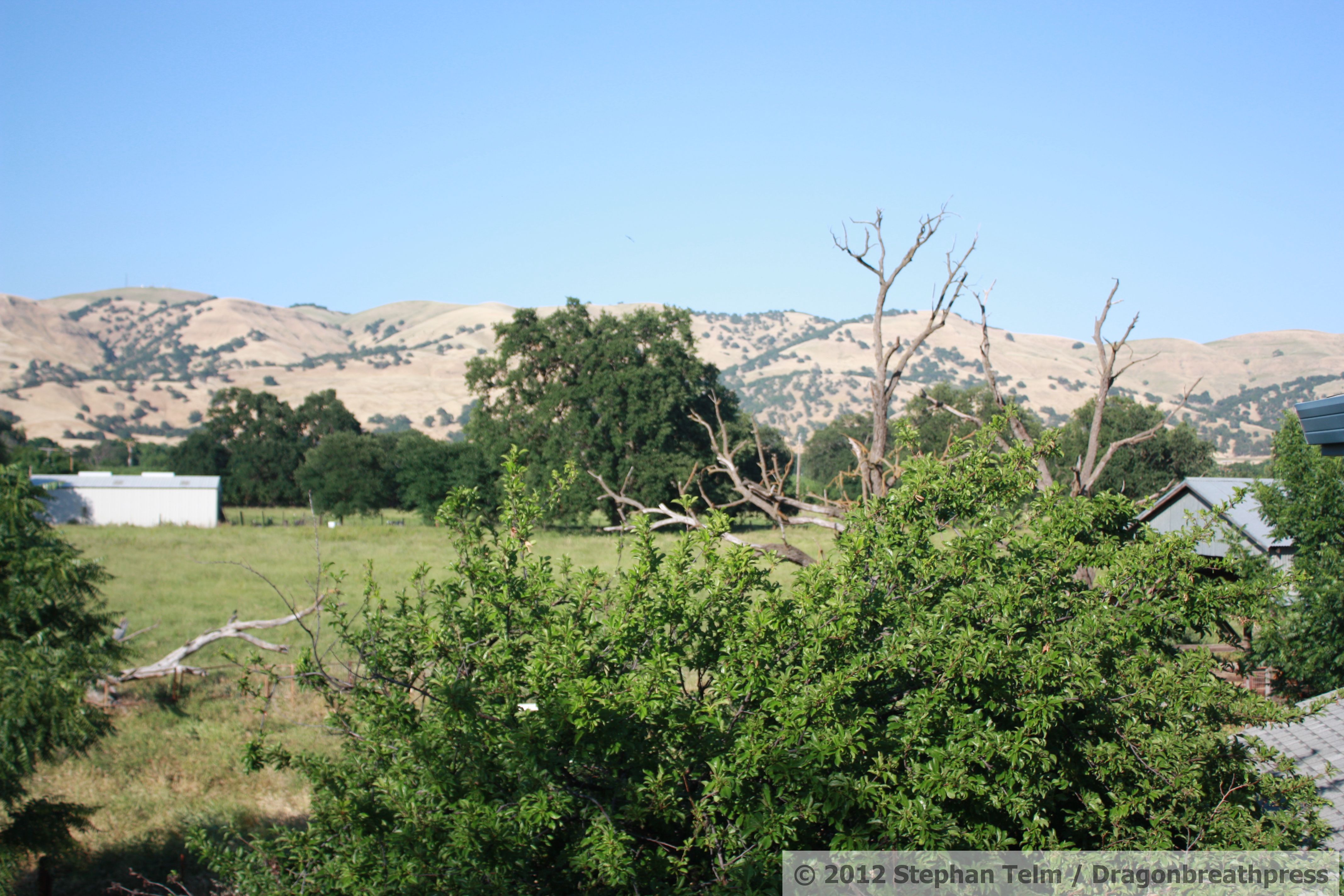
IMG_1195_View from the second floor
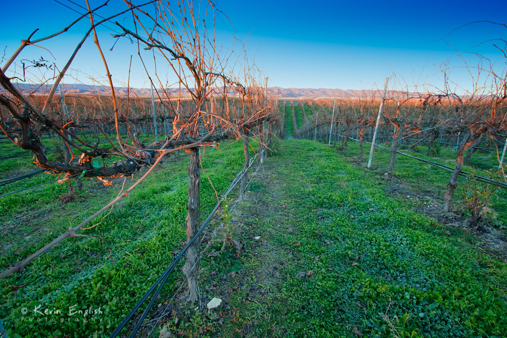
Dormant vinyard at R.H. Phillips winery in the Dunnigan Hills

Dig My Ride? : Yolo County, California
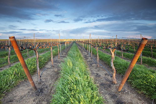
Forever Wine Grapes: Dunnigan Hills, California
" Infinity and Beyond "

Abandoned Barn
Driver side view. #portlandbound #mytinyatlas #land #pnw
Sweet peas. Farm Fresh to You. Bottom Dwellers at 12:30.

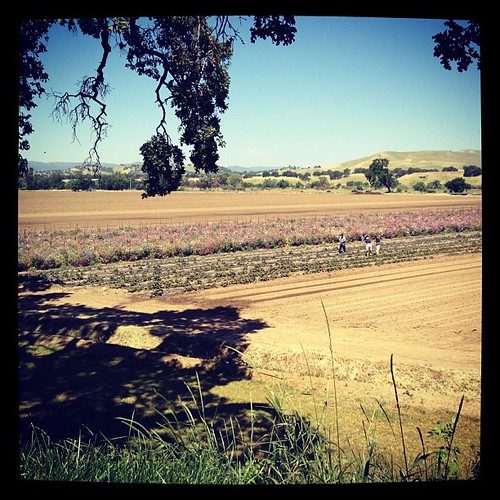
Crop in the Field
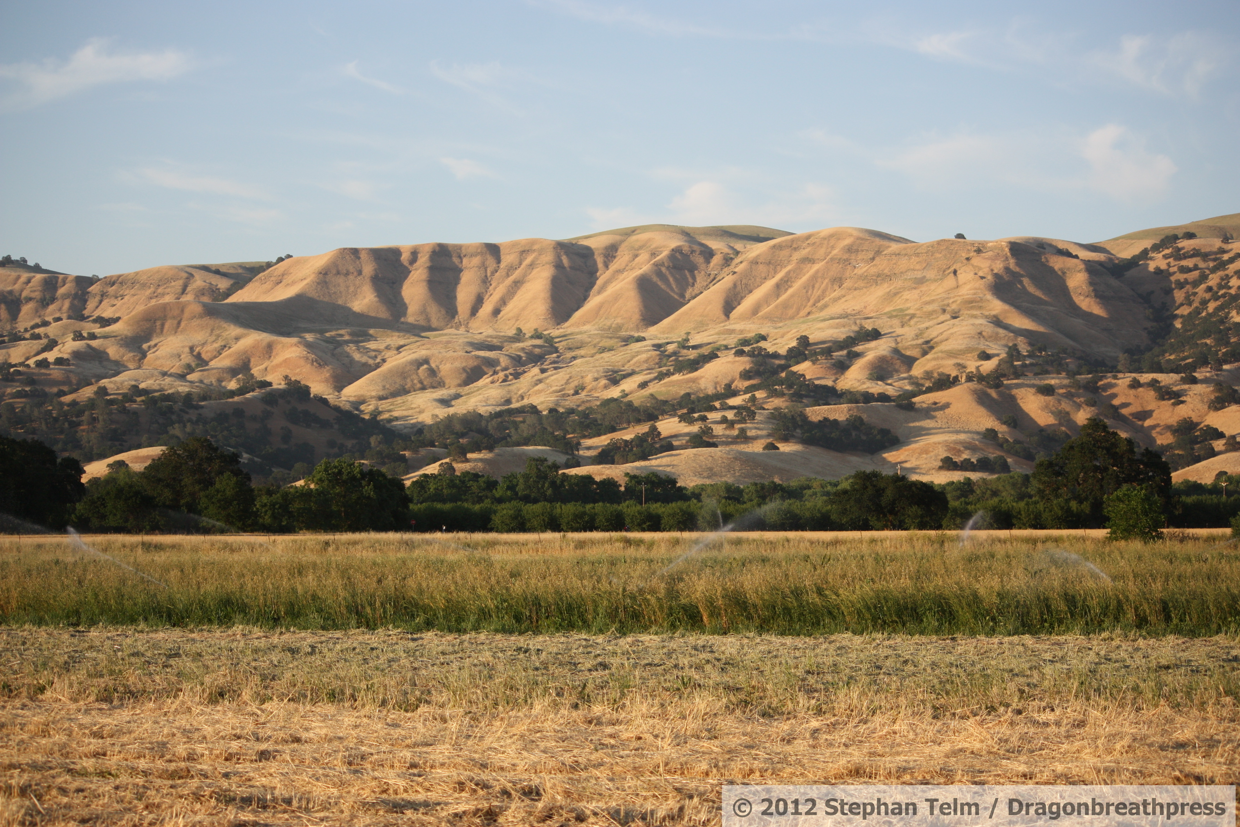
IMG_1343_Field with background hills

Yolo County Oak in B&W 2012-12-11

Dunnigan Hills drive, County Route E10, Yolo County, May 6, 2011 (2)

Middle Of Nowhere, CA.
WP_20140802_12_24_41_Pro.jpg
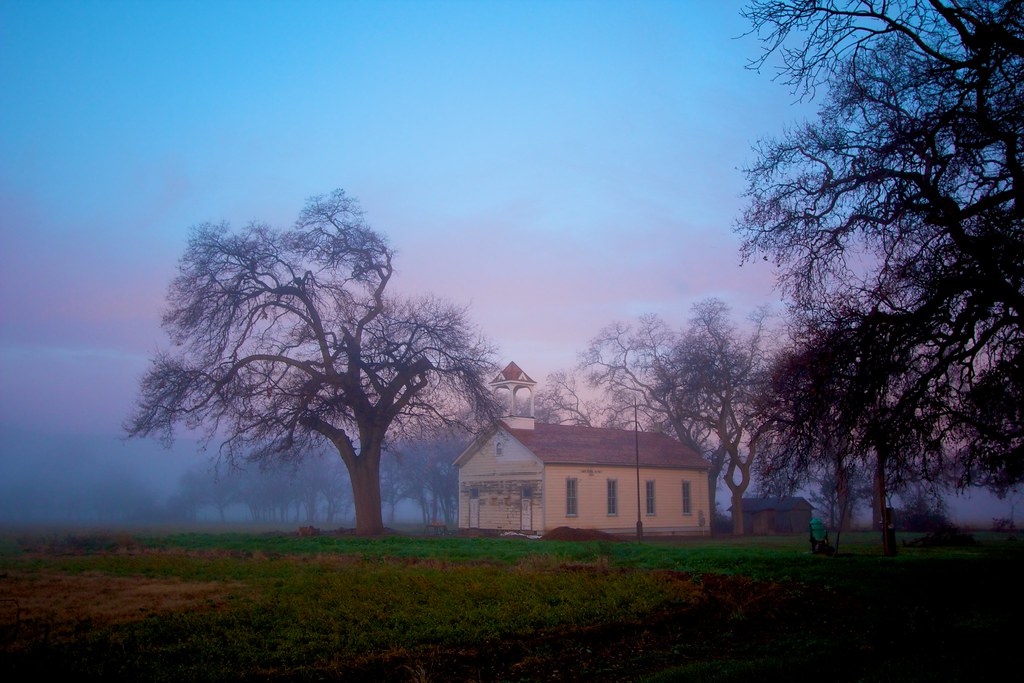
Capay Valley Schoolhouse

WP_20140802_12_24_47_Pro.jpg
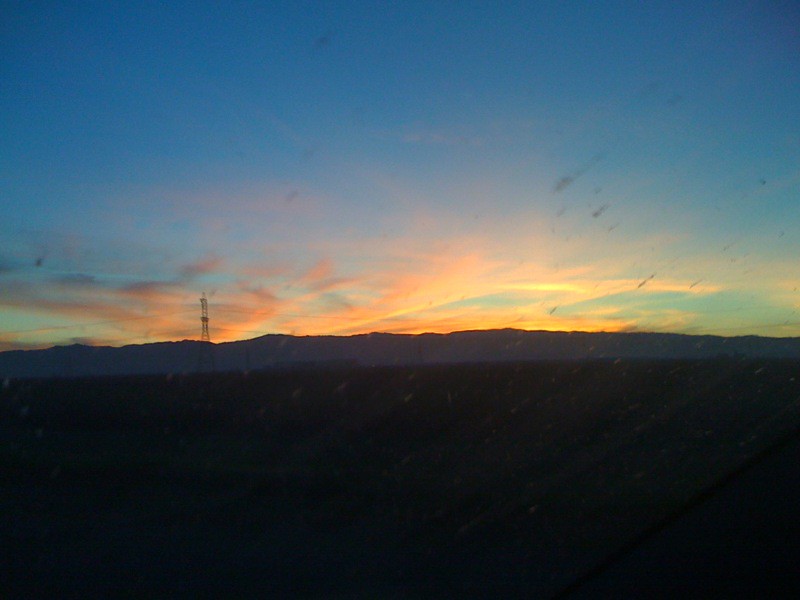
Sunset on hwy 505

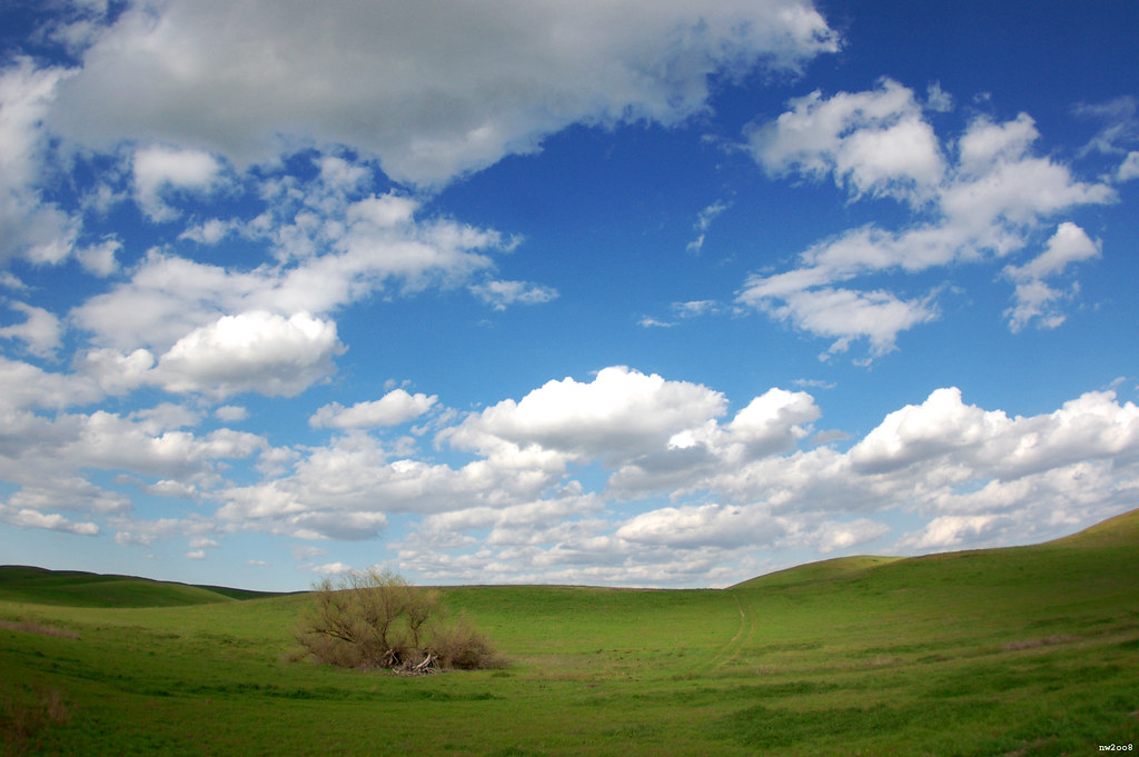
Spring has Sprung

The farm

WP_20140802_12_24_25_Pro.jpg

IMG_1251_Asparagus fully ferned and bolting
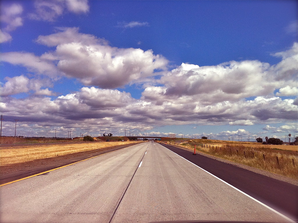
5o5 rolling
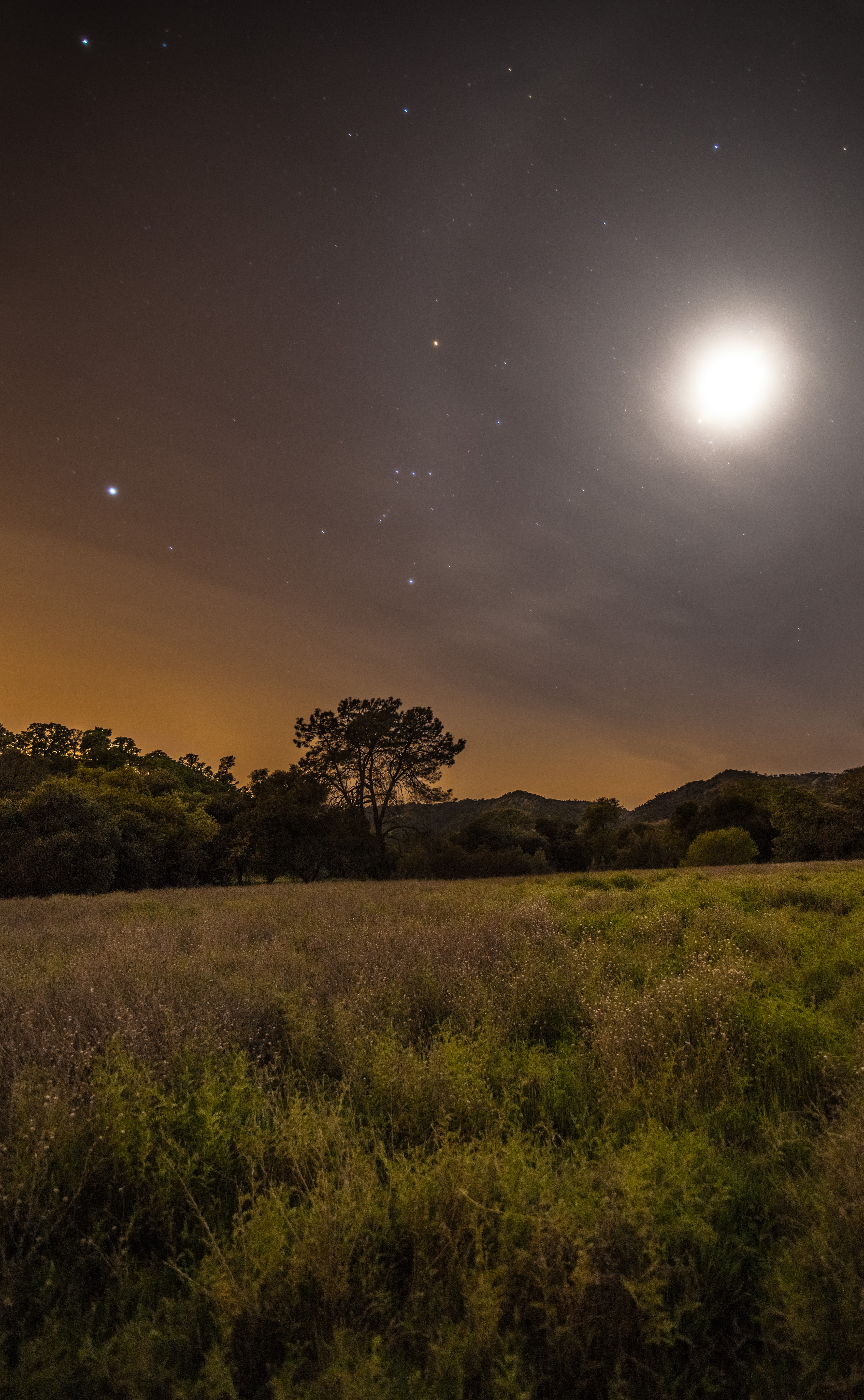
Moon Halo
Topographic Map of Capay, CA, USA
Find elevation by address:

Places in Capay, CA, USA:
Places near Capay, CA, USA:
17977 Co Hwy E4
Main St, Capay, CA, USA
17977 Co Rd 85b
17977 Co Rd 85b
17013 Antelope St
Esparto
29069 Quincy St
Madison
14455 Ca-16
Ranch Rd, Brooks, CA, USA
Brooks
Co Rd 26, Winters, CA, USA
CA-16, Capay, CA, USA
Co Rd 89, Winters, CA, USA
Yolo County
19179 Rd 94c
Zamora
Dunnigan
Putah Creek Wheelchair Trail & Restroom
Woodland, CA, USA
Recent Searches:
- Elevation of Congressional Dr, Stevensville, MD, USA
- Elevation of Bellview Rd, McLean, VA, USA
- Elevation of Stage Island Rd, Chatham, MA, USA
- Elevation of Shibuya Scramble Crossing, 21 Udagawacho, Shibuya City, Tokyo -, Japan
- Elevation of Jadagoniai, Kaunas District Municipality, Lithuania
- Elevation of Pagonija rock, Kranto 7-oji g. 8"N, Kaunas, Lithuania
- Elevation of Co Rd 87, Jamestown, CO, USA
- Elevation of Tenjo, Cundinamarca, Colombia
- Elevation of Côte-des-Neiges, Montreal, QC H4A 3J6, Canada
- Elevation of Bobcat Dr, Helena, MT, USA