Elevation of Woodland, CA, USA
Location: United States > California > Yolo County > Woodland >
Longitude: -121.85626
Latitude: 38.6651725
Elevation: 30m / 98feet
Barometric Pressure: 101KPa
Elevation Map:
Satellite Map:
Related Photos:

Sunflowers around Woodland, California

Sunflowers around Woodland, California
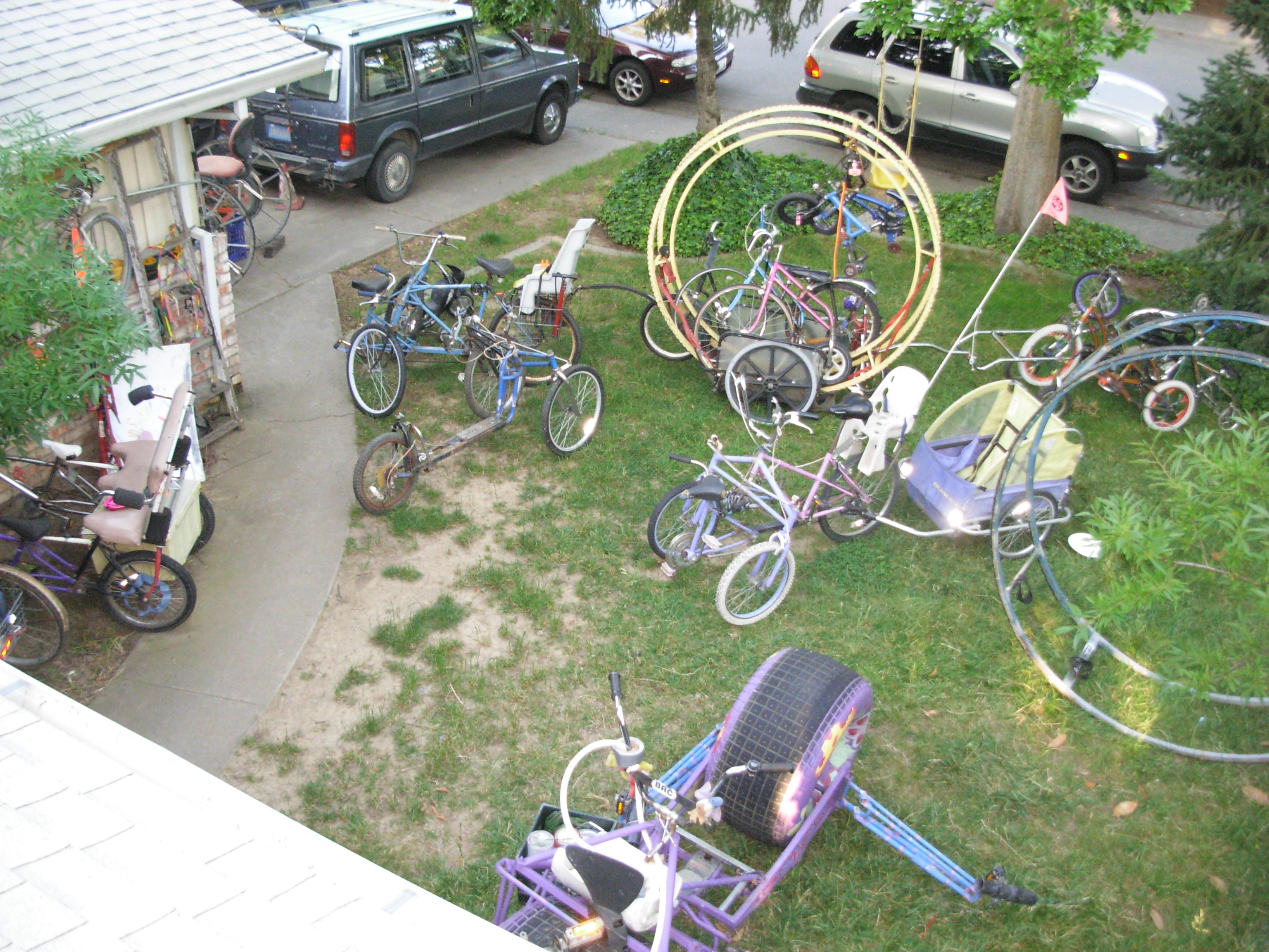
Bird (or cat)'s eye view of a real Wheelman's yard.!

Davis High Pioneer Football Williams
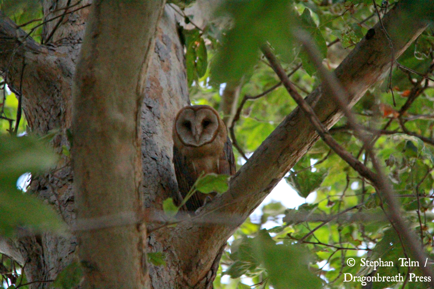
IMG_5831_Barn owl #1

Davis High Pioneer Football Castro
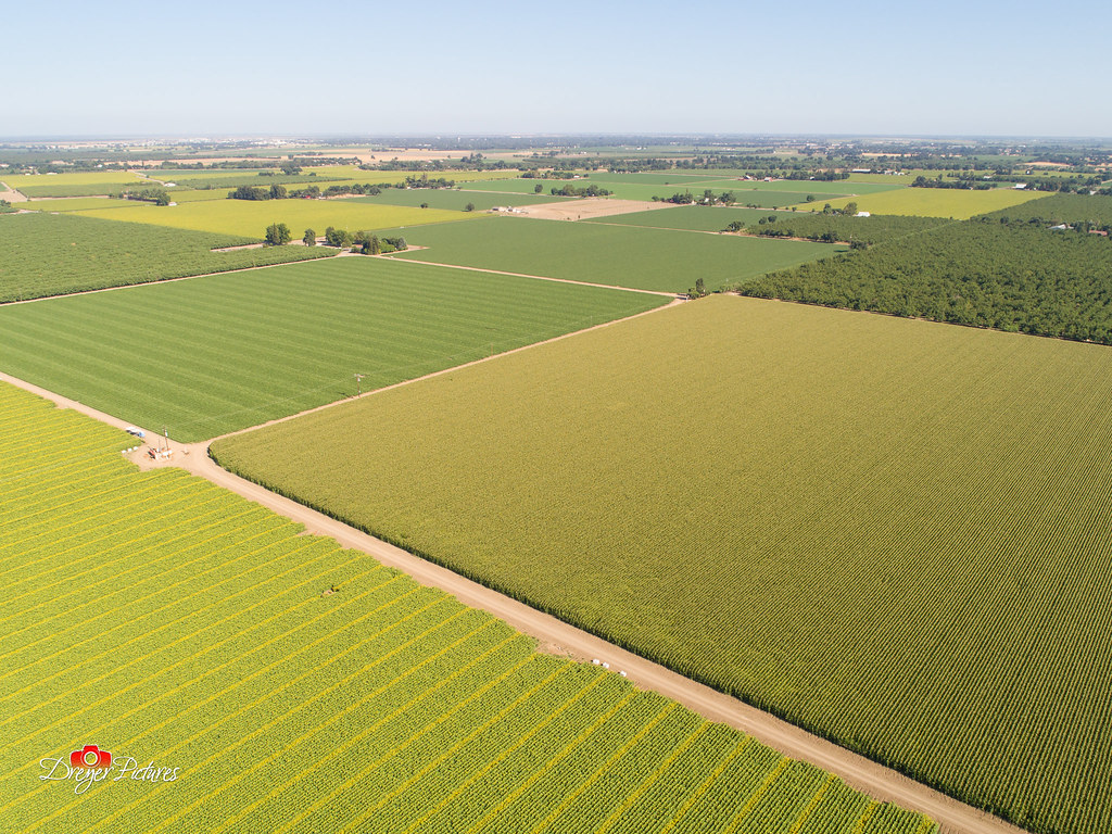
Sunflowers around Woodland, California
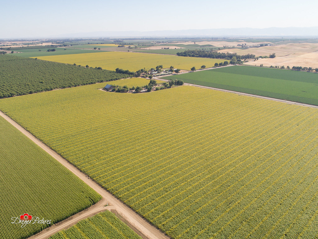
Sunflowers around Woodland, California

Sunflowers around Woodland, California

Windmill Water Trough: Zamora, California
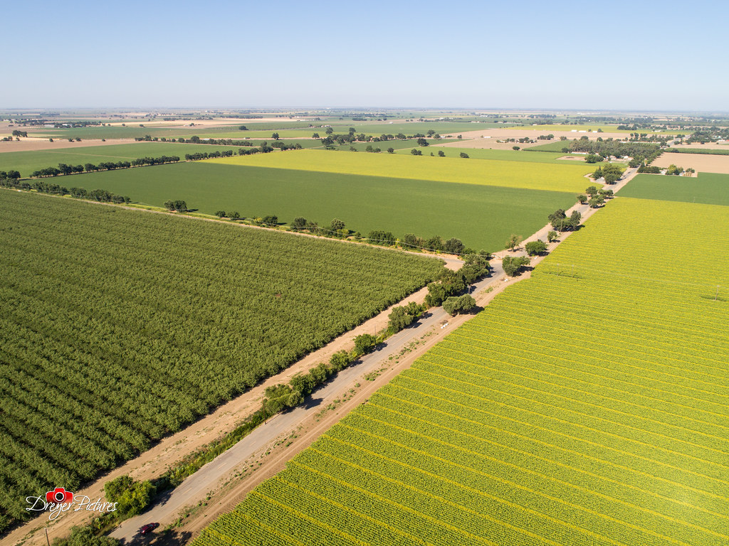
Sunflowers around Woodland, California

Abandoned Barn

Sunflowers around Woodland, California

Forever Wine Grapes: Dunnigan Hills, California
TTV Series: Railroad

TTV Series: Boxcar
Driver side view. #portlandbound #mytinyatlas #land #pnw

lovely purple flower

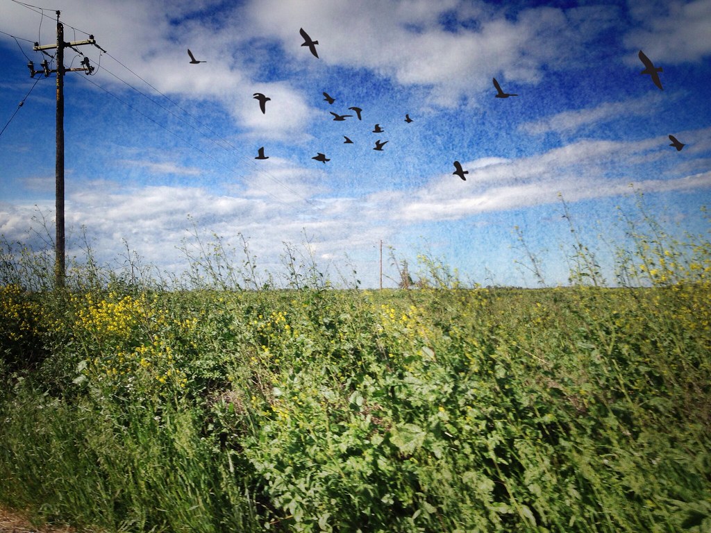
a grassy swale
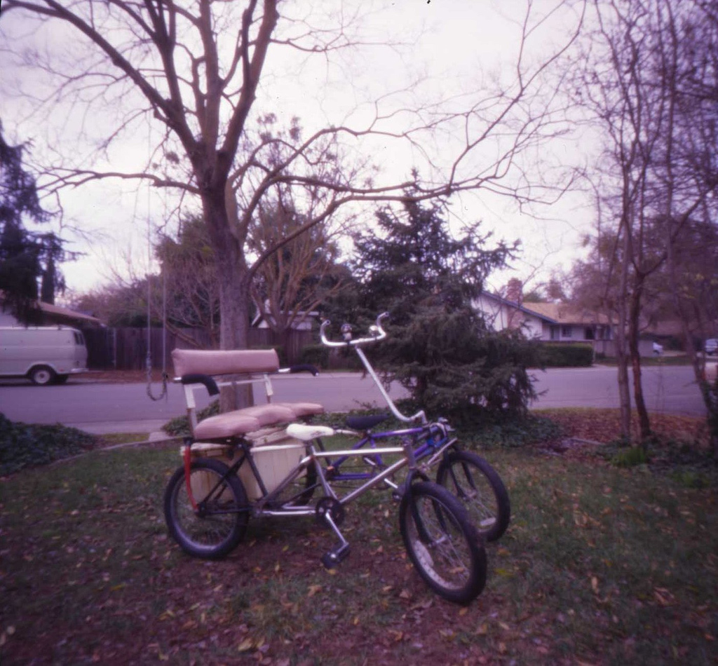
Three Seater Quadracycle
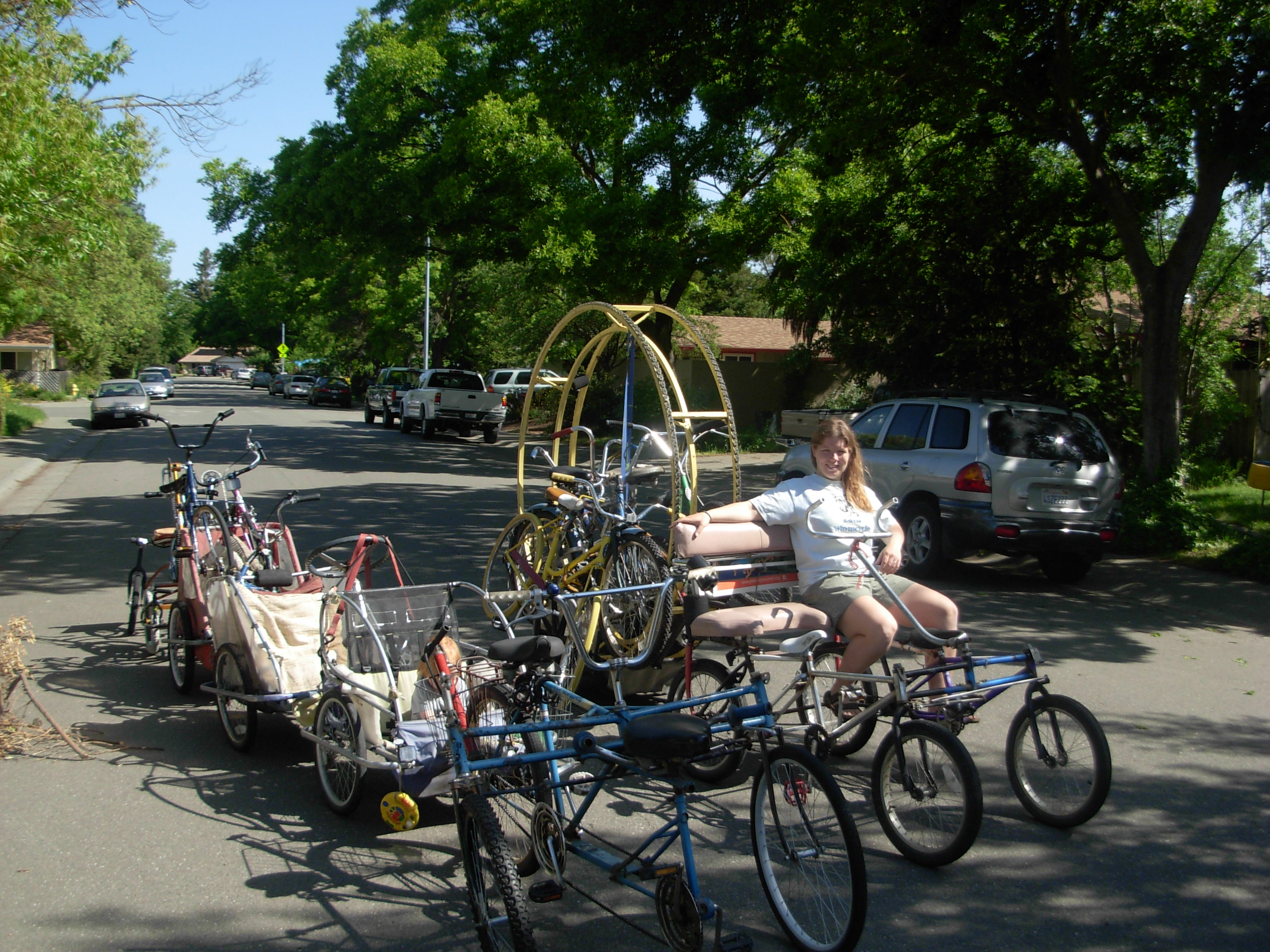
Earth Day Cycle Train..destination Davis' Unitarian Church Fest

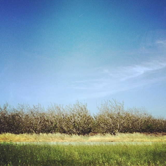
Sunflowers and Oak

Sunflower Fields

Sunflower Wheat Sunset

Sunflowers by Mary's Chapel, Yolo CA

praying mantis, davis CA 1999_09 001.jpg

Changes to Come

Waiting for Wind: Dunnigan Hills, California

One of 726 Iceland Waterfalls Waterfall Rock - Object Scenics Rock Formation Nature Beauty In Nature Tourism Travel Destinations Motion River Environment Outdoors Travel Power In Nature Cliff No People Day Landscape Mountain Water

Last picture from the pumpkin patch: Carolyn defeats the Milo Maze.

Olive grove- ocean in the sky

Outside of Winters, CA

Davis Sunset, CA
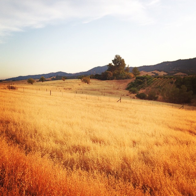
Middle Of Nowhere, CA.

Sunflowers 2012
Yolo County

Day Gone

Dunnigan Hills drive, County Route E10, Yolo County, May 6, 2011 (2)

IMG_0599.jpg

Couchée de soleil
Topographic Map of Woodland, CA, USA
Find elevation by address:

Places near Woodland, CA, USA:
19179 Rd 94c
708 Dartmouth Pl
Woodside Drive
Woodland Memorial Hospital Cardiac Rehabilitation
1325 Cottonwood St
412 W Casa Linda Dr
Paula Way
414 Paula Way
414 Paula Way
412 Casa Linda Dr
1619 Carnellan Ct
25104 Co Rd 95
Co Rd 29, Woodland, CA, USA
Co Rd A, Woodland, CA, USA
California 113
Willow Creek Horse Park
Co Rd 26, Winters, CA, USA
Fairfield Elementary School
3427 Morro Bay Ave
Morro Bay Avenue
Recent Searches:
- Elevation of Congressional Dr, Stevensville, MD, USA
- Elevation of Bellview Rd, McLean, VA, USA
- Elevation of Stage Island Rd, Chatham, MA, USA
- Elevation of Shibuya Scramble Crossing, 21 Udagawacho, Shibuya City, Tokyo -, Japan
- Elevation of Jadagoniai, Kaunas District Municipality, Lithuania
- Elevation of Pagonija rock, Kranto 7-oji g. 8"N, Kaunas, Lithuania
- Elevation of Co Rd 87, Jamestown, CO, USA
- Elevation of Tenjo, Cundinamarca, Colombia
- Elevation of Côte-des-Neiges, Montreal, QC H4A 3J6, Canada
- Elevation of Bobcat Dr, Helena, MT, USA