Elevation of 7th St, Arbuckle, CA, USA
Location: United States > California > Colusa County > Arbuckle >
Longitude: -122.00869
Latitude: 39.0059872
Elevation: 20m / 66feet
Barometric Pressure: 101KPa
Elevation Map:
Satellite Map:
Related Photos:
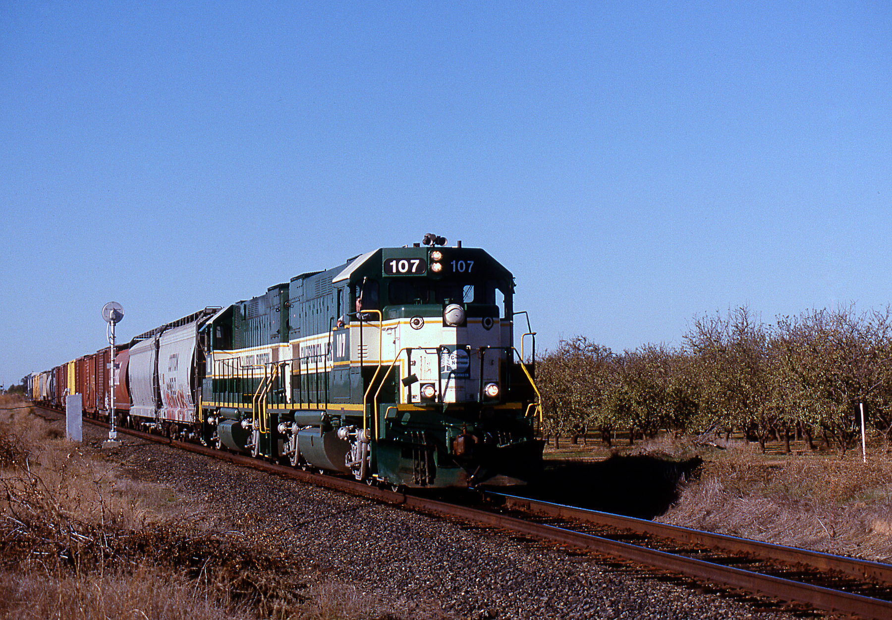
From the Central Division to the Central Valley

Rest Area View
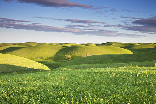
Green Hills of Earth: Dunnigan Hills, California

Ranch Road Sunrise

Sutter Buttes

Thinking of Bliss
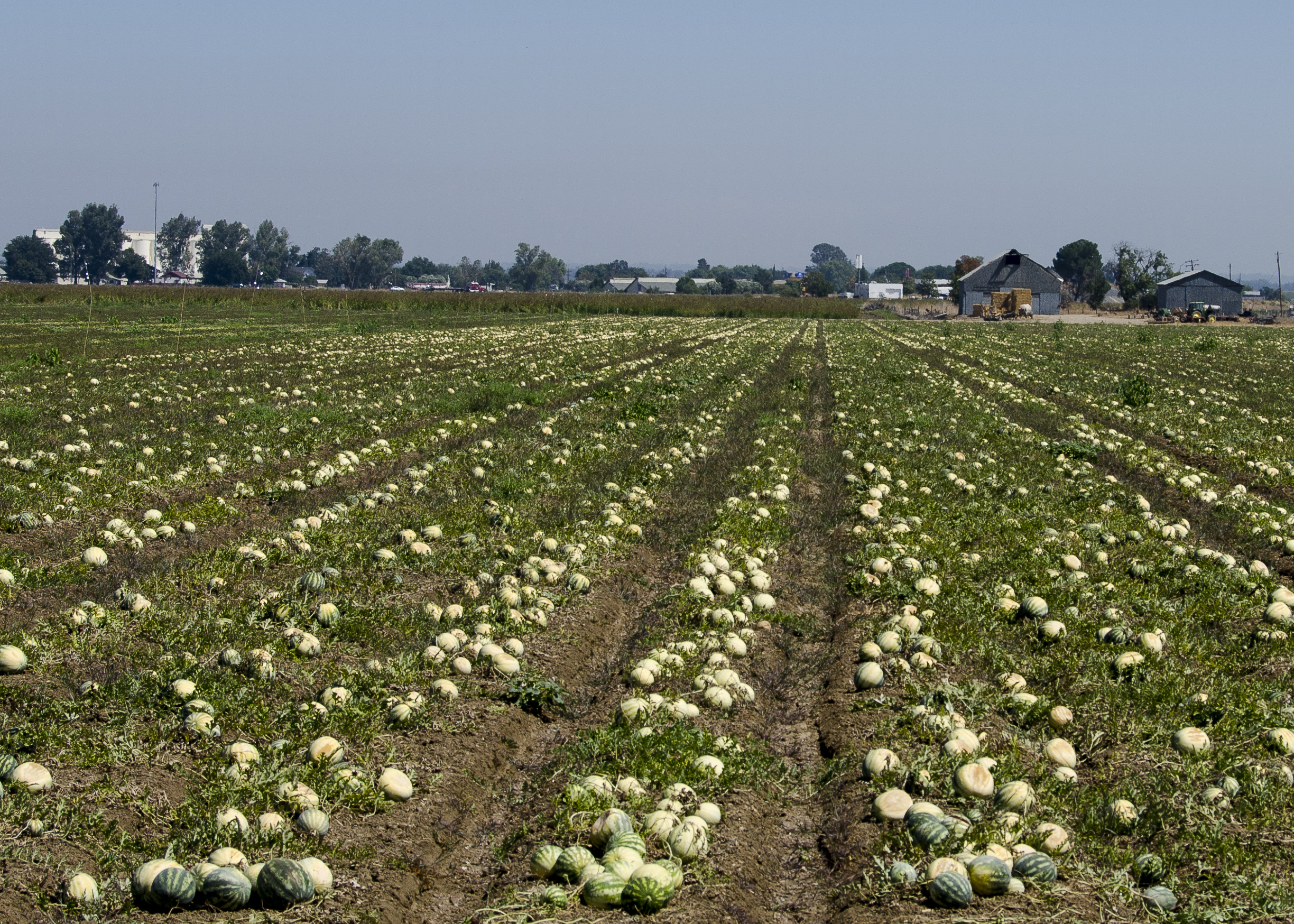
Mellon Crop
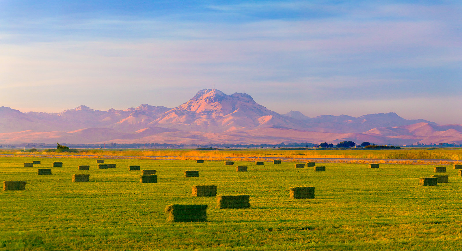
Sutter Buttes and Hay Bales

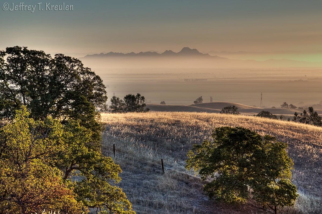
Colusa County Sunrise
Sutter Buttes Sunrise

Sutter Buttes Panorama
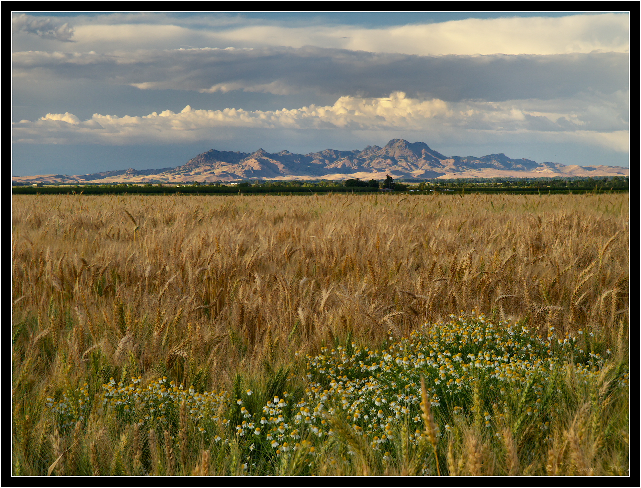
Sutter Buttes
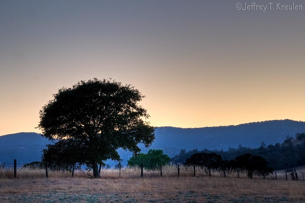
Rancheria Sunset
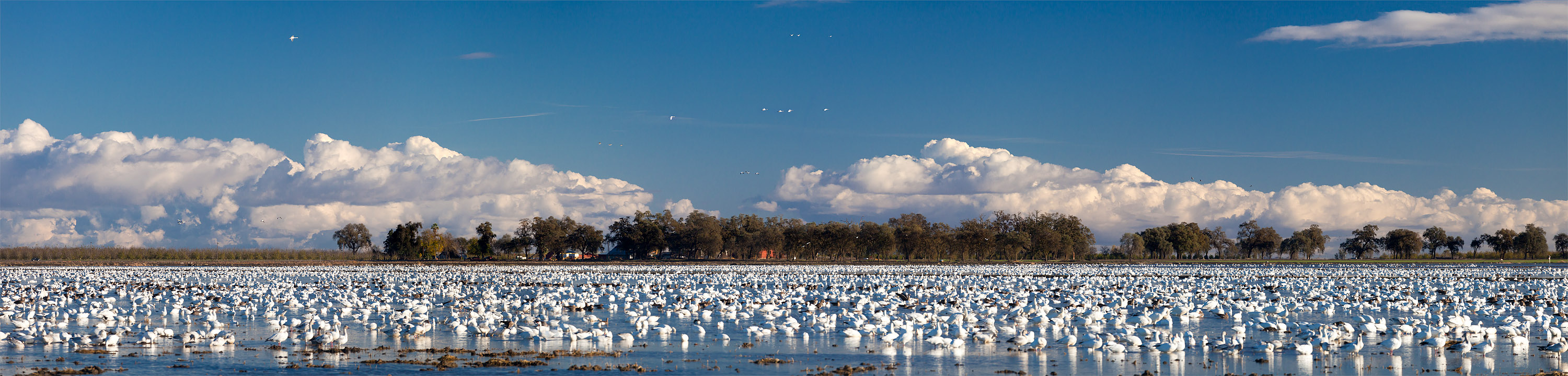
Snow Geese near Grimes, in the Sacramento Valley

Sutter Buttes, California
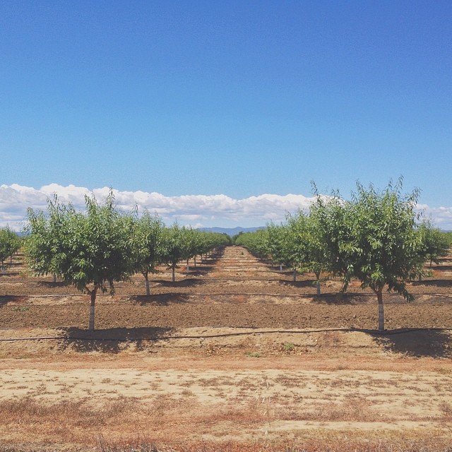
Alive on I-5 :: #arbuckle #california #interstate #5 #i5 #road #trip #roadtrip #orchard #field #coastal #range #mountains #clouds #sky #landscape #farm #beautiful #outdoors

Sacramento River, RM 123.5 Hydro Survey

Leonard and Smokey 1/25/2008
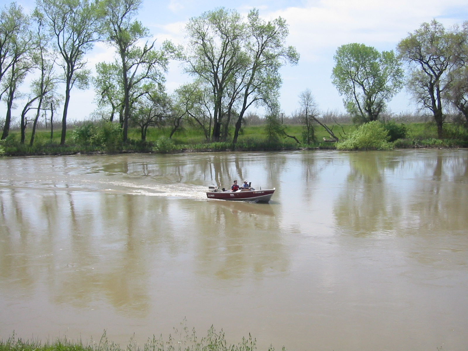
Sacramento River Hydro Survey

California Rice Paddy
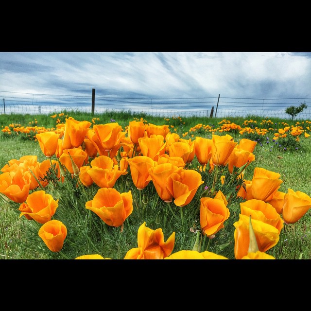
#california #poppy #poppies #spring
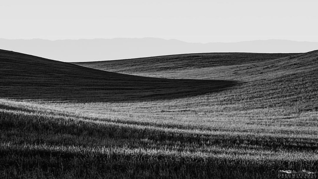
#silvershadow #limitededitionphotograph #blackandwhite #monochrome #visityolo #visitcalifornia #yolocounty #dunniganhills #ignorcal #916igers #gregmitchellphotography #tactilephoto
Topographic Map of 7th St, Arbuckle, CA, USA
Find elevation by address:

Places near 7th St, Arbuckle, CA, USA:
Arbuckle
5th St, Arbuckle, CA, USA
CR 99W, Dunnigan, CA, USA
Dunnigan
Main St, California, USA
6247 Myers Rd
Kilgore Rd, Meridian, CA, USA
1832 Cortina School Rd
Meridian
Millers Landing Rd, Meridian, CA, USA
8 Wilson Bend Rd, Meridian, CA, USA
Hageman Rd, Meridian, CA, USA
Cranmore Rd, Knights Landing, CA, USA
6th St, Colusa, CA, USA
Williams
409 10th St
309 Main St
Colusa
5th St, Colusa, CA, USA
West Butte
Recent Searches:
- Elevation of Beall Road, Beall Rd, Florida, USA
- Elevation of Leguwa, Nepal
- Elevation of County Rd, Enterprise, AL, USA
- Elevation of Kolchuginsky District, Vladimir Oblast, Russia
- Elevation of Shustino, Vladimir Oblast, Russia
- Elevation of Lampiasi St, Sarasota, FL, USA
- Elevation of Elwyn Dr, Roanoke Rapids, NC, USA
- Elevation of Congressional Dr, Stevensville, MD, USA
- Elevation of Bellview Rd, McLean, VA, USA
- Elevation of Stage Island Rd, Chatham, MA, USA