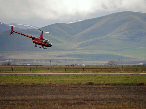
Elevation of Malad Pass, Idaho, USA
Location: United States > Idaho > Malad City >
Longitude: -112.42441
Latitude: 42.1021425
Elevation: 1640m / 5381feet
Barometric Pressure: 83KPa
Related Photos:
Topographic Map of Malad Pass, Idaho, USA
Find elevation by address:

Places near Malad Pass, Idaho, USA:
16722 W 16720 N St
Plymouth
9258 W 9950 N
Clarkston
25 E Center St, Clarkston, UT, USA
N Westside Hwy, Dayton, ID, USA
Dayton
9160 Ut-83
Garland
27 N Center St, Weston, ID, USA
550 W 1000 N
905 N 1000 W
515 N 800 W
Collinston
N W, Collinston, UT, USA
W N, Tremonton, UT, USA
16 N Tremont St
Tremonton
Newton
N W, Cache, UT, USA
Recent Searches:
- Elevation of Corso Fratelli Cairoli, 35, Macerata MC, Italy
- Elevation of Tallevast Rd, Sarasota, FL, USA
- Elevation of 4th St E, Sonoma, CA, USA
- Elevation of Black Hollow Rd, Pennsdale, PA, USA
- Elevation of Oakland Ave, Williamsport, PA, USA
- Elevation of Pedrógão Grande, Portugal
- Elevation of Klee Dr, Martinsburg, WV, USA
- Elevation of Via Roma, Pieranica CR, Italy
- Elevation of Tavkvetili Mountain, Georgia
- Elevation of Hartfords Bluff Cir, Mt Pleasant, SC, USA


