Elevation of 16 N Tremont St, Tremonton, UT, USA
Location: United States > Utah > Box Elder County > Tremonton >
Longitude: -112.16581
Latitude: 41.7120299
Elevation: 1318m / 4324feet
Barometric Pressure: 86KPa
Elevation Map:
Satellite Map:
Related Photos:

From the Salt Lake to Flat Top Mountain

Letters BR (Bear River in Utah)

View from a Hampton Inn

Property Line. Tremonton, Utah

Bear River. Elwood, Utah

Ferris Wheel NW

Wasatch Mountains

Bear River. Elwood, Utah

Hansen Park. Elwood, Utah
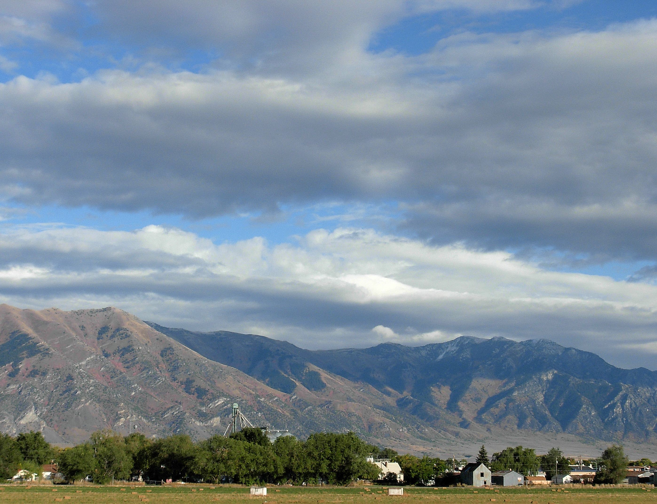
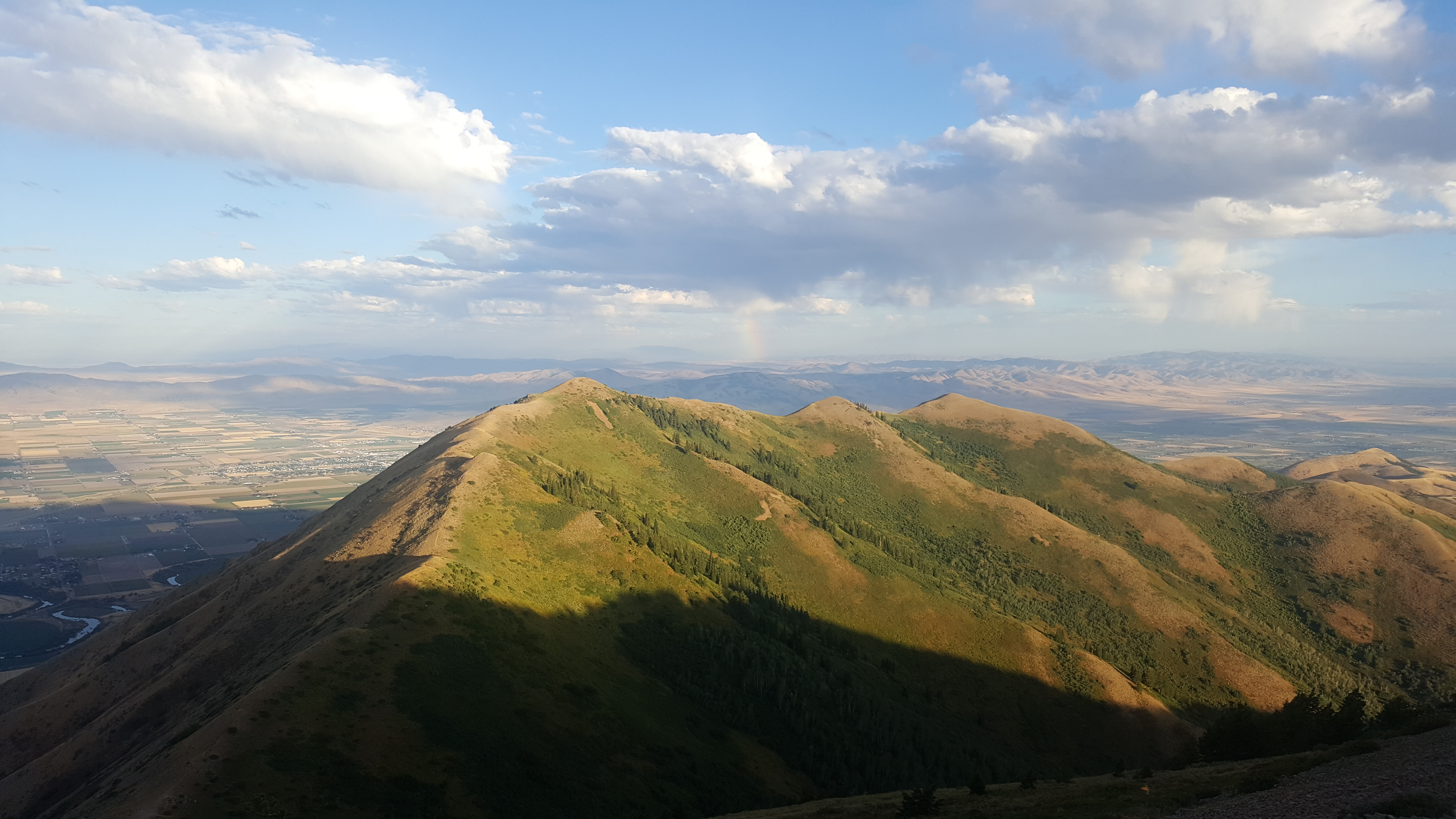
Wellsville Mountains. Tremonton, Utah
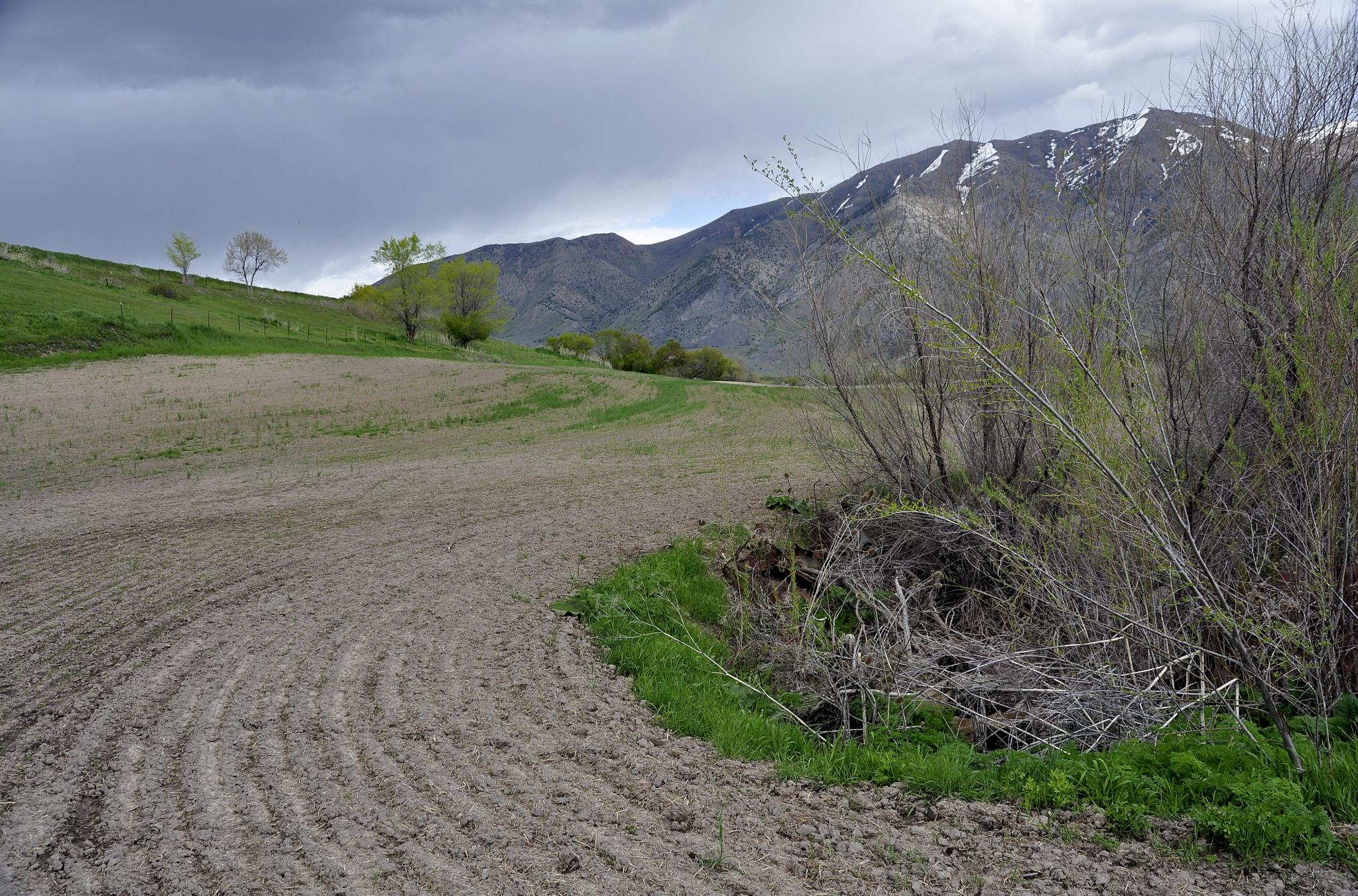
Field. Elwood, Utah

Bear River. Elwood, Utah

Hansen Park. Elwood, Utah

Bear River. Elwood, Utah

The Marble Motel

Rocky mountains, USA, CrossView

Hansen Park. Elwood, Utah
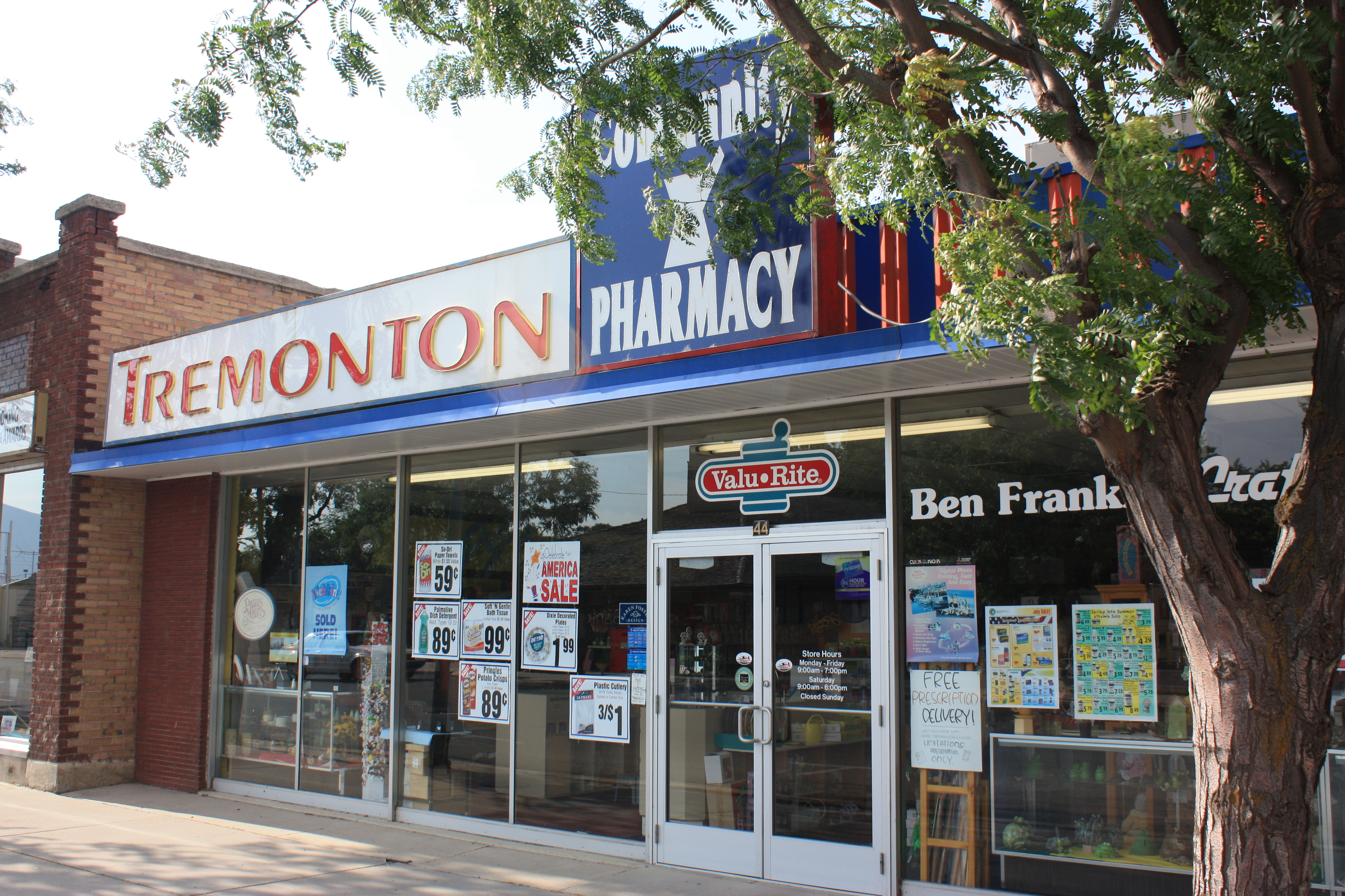
Tremonton Drugs

Raptor Peak

Orb Weaver

sunset18 tremonton ut

Illinois, Iowa, Nebreaska

Illinois, Iowa, Nebreaska
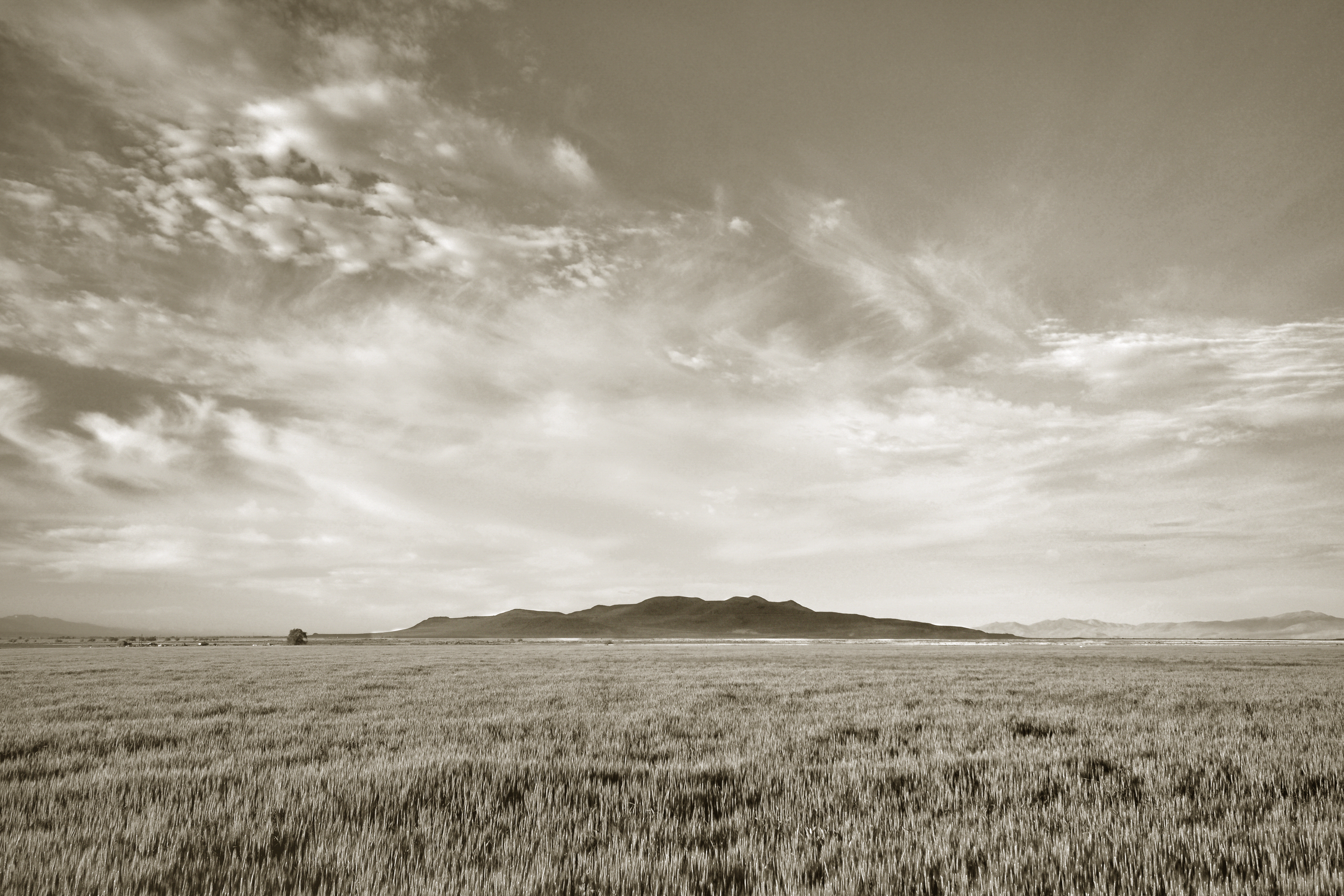
Little Mountain. Box Elder County, Utah

Wellsville Mountains, Utah

Sunset12 Tremonton, UT USA
2017-08-26 07.36.32

North Of Elwood. Box Elder County, Utah

West Of Elwood. Box Elder County, Utah

Wellsville Mountains, Utah

Wellsville Mountains, Utah

Tremonton, Utah

Invasive Species #2. Tremonton, Utah

Wellsville Mountains, Utah

North Of Elwood. Box Elder County, Utah

Bear River Valley, Utah

Bear River Valley, Utah
Topographic Map of 16 N Tremont St, Tremonton, UT, USA
Find elevation by address:

Places near 16 N Tremont St, Tremonton, UT, USA:
Tremonton
515 N 800 W
550 W 1000 N
905 N 1000 W
Garland
Elwood
W N, Tremonton, UT, USA
N W, Collinston, UT, USA
Collinston
W N, Bear River City, UT, USA
Bear River City
W N, Tremonton, UT, USA
15320 N 400 W
Bear River Valley Co-op
7041 W 600 N
Plymouth
Corinne
W N, Mendon, UT, USA
Peter
N W, Cache, UT, USA
Recent Searches:
- Elevation of Rojo Ct, Atascadero, CA, USA
- Elevation of Flagstaff Drive, Flagstaff Dr, North Carolina, USA
- Elevation of Avery Ln, Lakeland, FL, USA
- Elevation of Woolwine, VA, USA
- Elevation of Lumagwas Diversified Farmers Multi-Purpose Cooperative, Lumagwas, Adtuyon, RV32+MH7, Pangantucan, Bukidnon, Philippines
- Elevation of Homestead Ridge, New Braunfels, TX, USA
- Elevation of Orchard Road, Orchard Rd, Marlborough, NY, USA
- Elevation of 12 Hutchinson Woods Dr, Fletcher, NC, USA
- Elevation of Holloway Ave, San Francisco, CA, USA
- Elevation of Norfolk, NY, USA