Elevation of N W, Tremonton, UT, USA
Location: United States > Utah > Box Elder County > Tremonton >
Longitude: -112.18174
Latitude: 41.7188444
Elevation: 1322m / 4337feet
Barometric Pressure: 86KPa
Elevation Map:
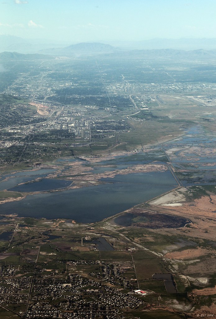
Satellite Map:
Related Photos:
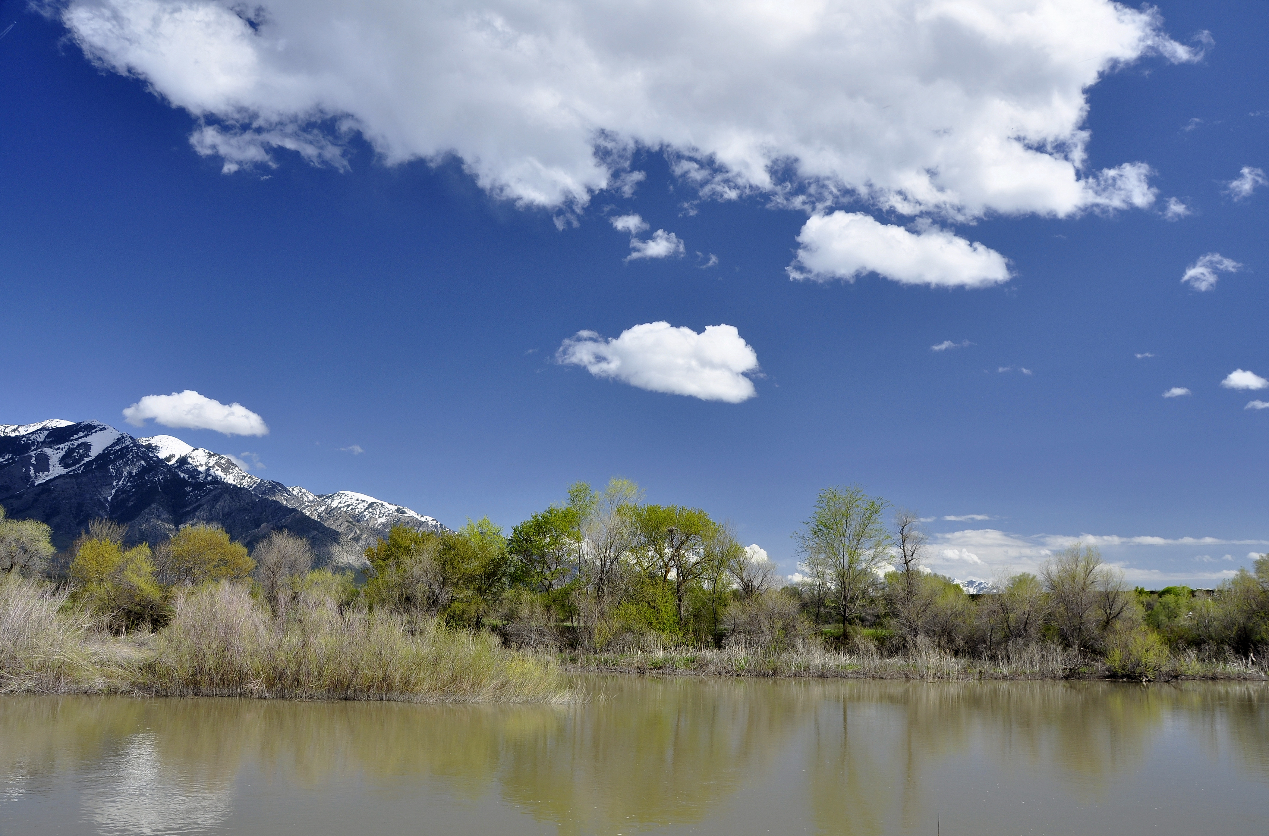
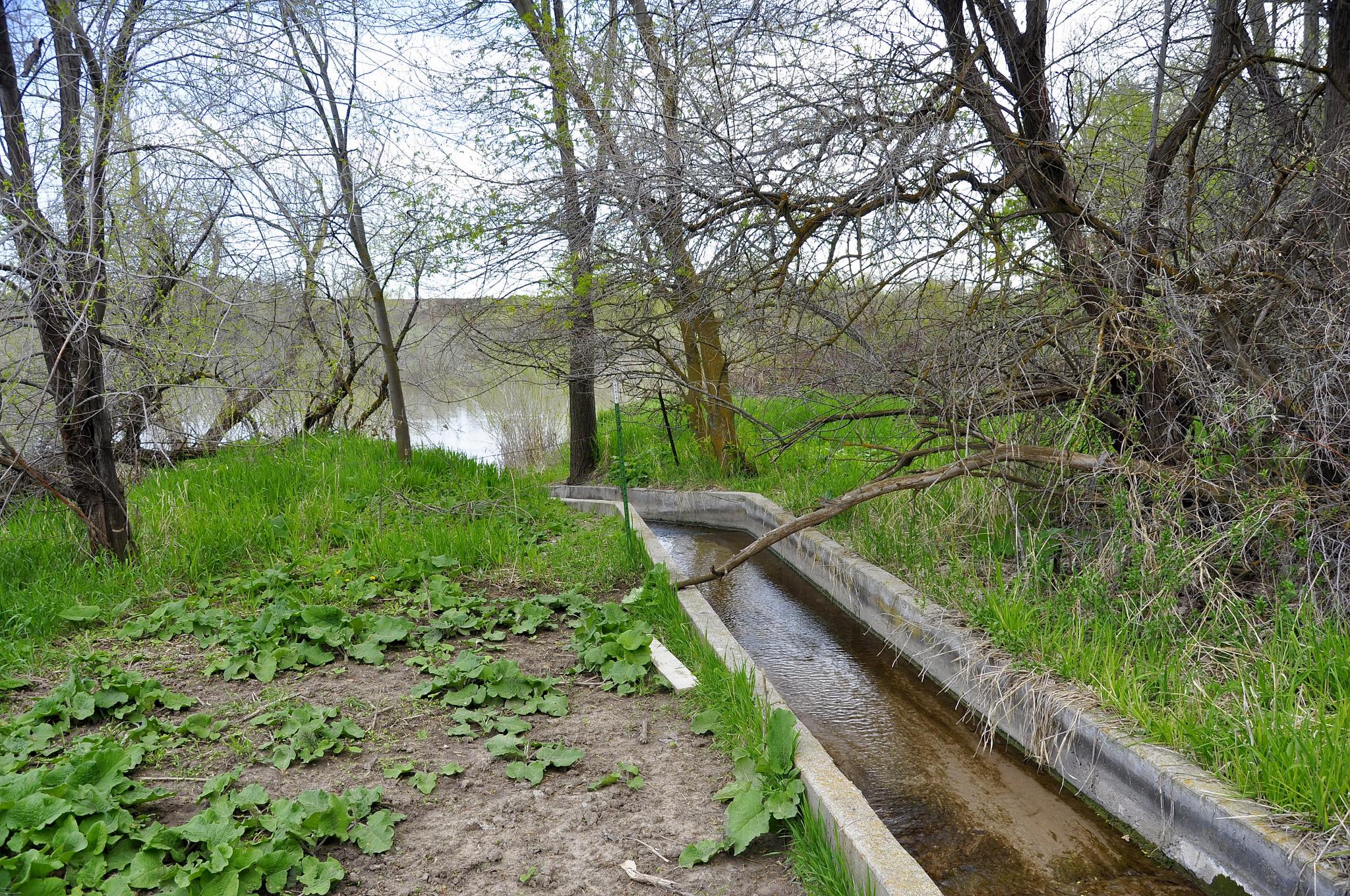
Bear River. Elwood, Utah

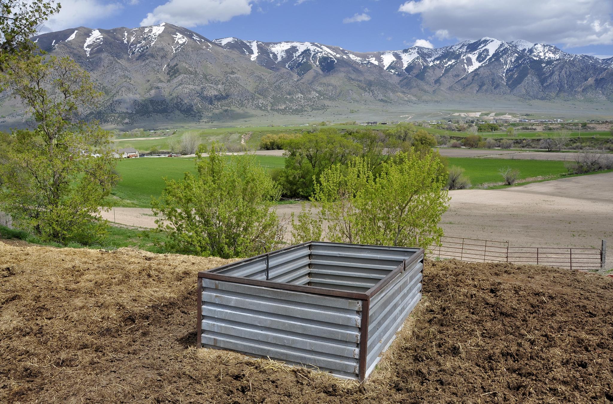
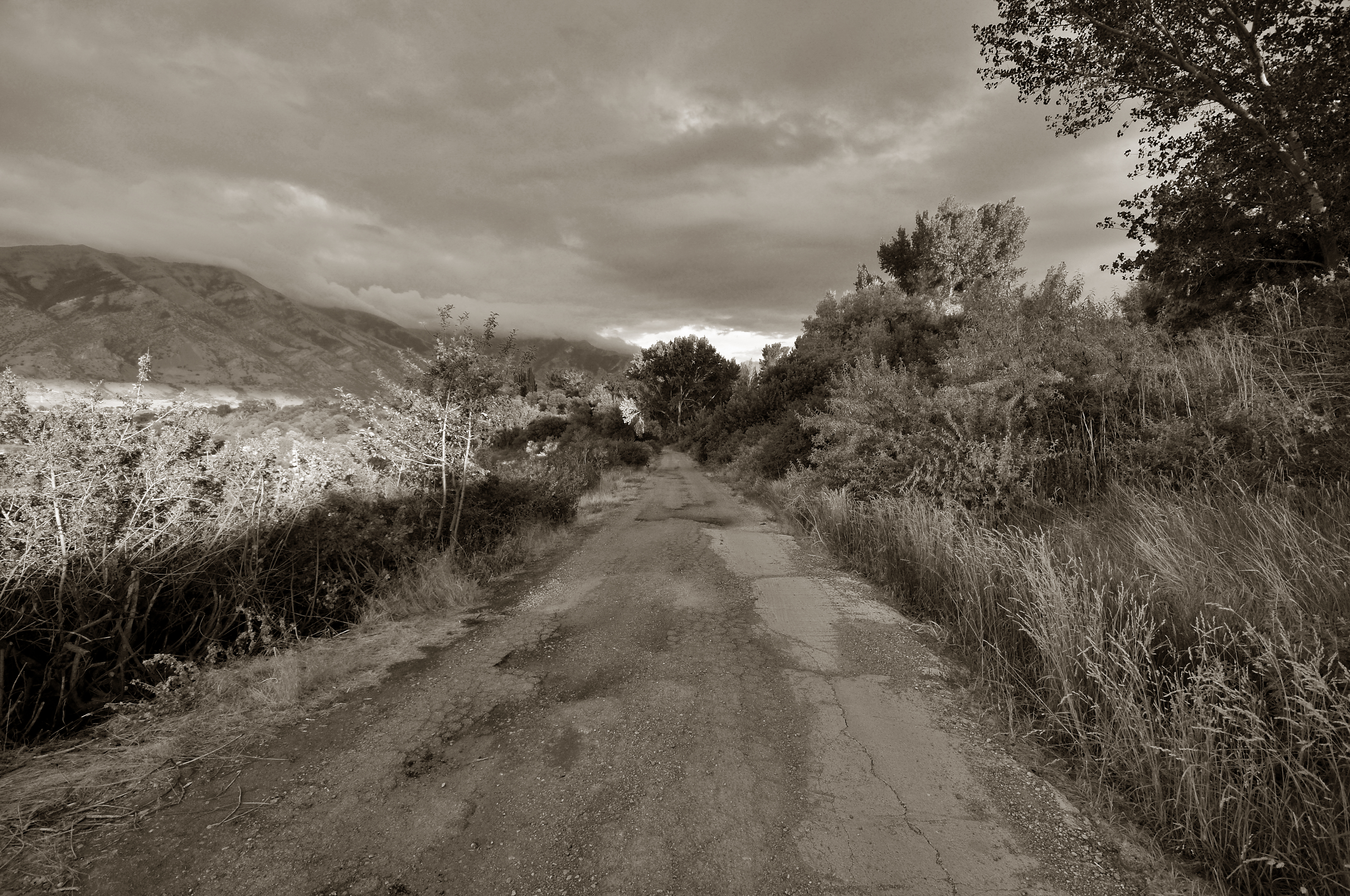
Property Line. Tremonton, Utah

Bear River. Elwood, Utah

Ferris Wheel NW
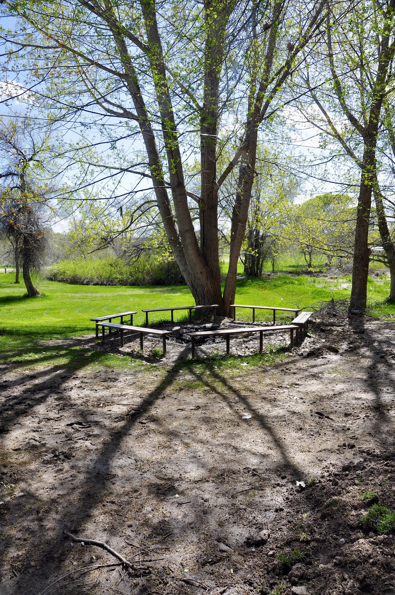
Hansen Park. Elwood, Utah

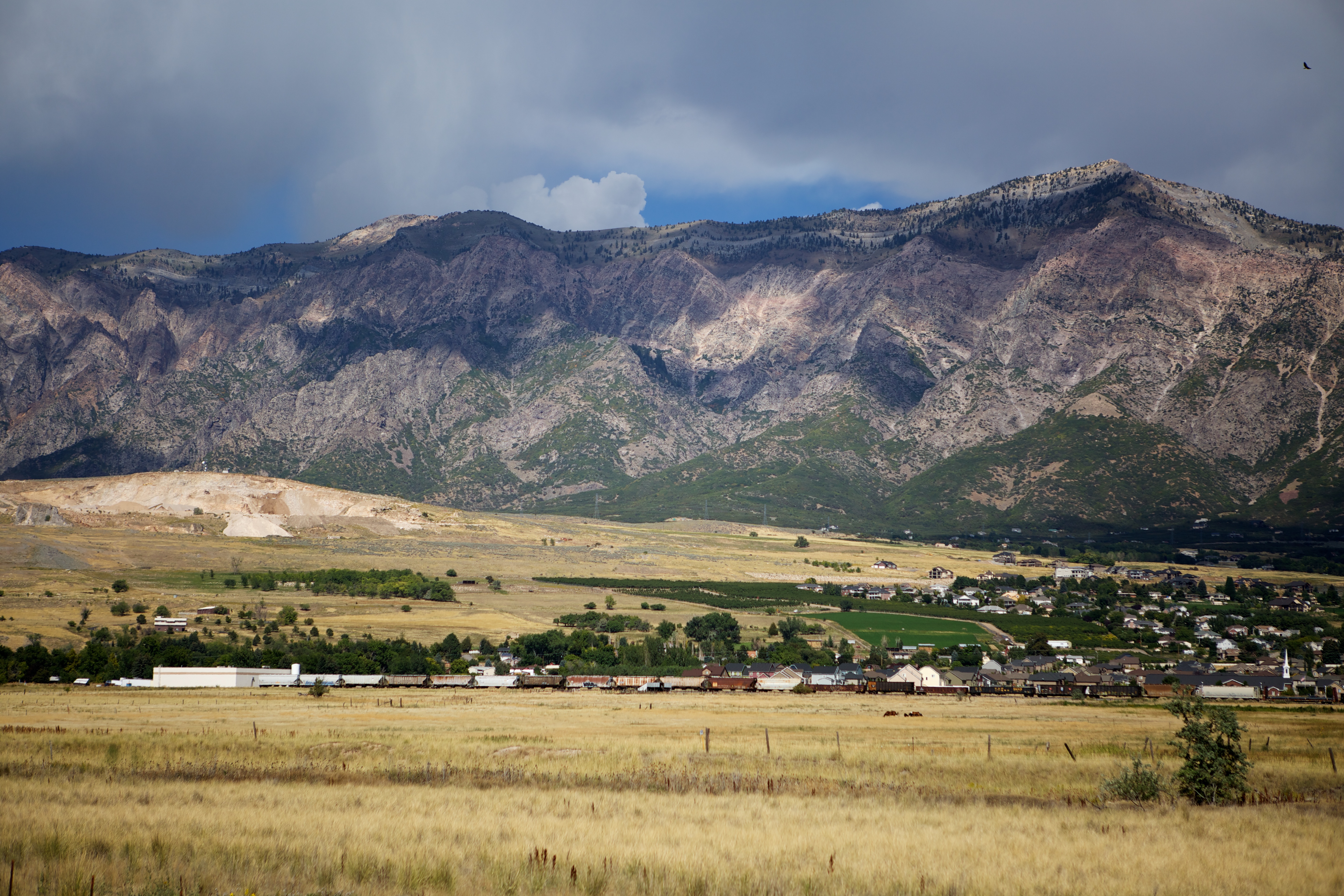
Tremonton, Utah
Bear River. Elwood, Utah

Hansen Park. Elwood, Utah
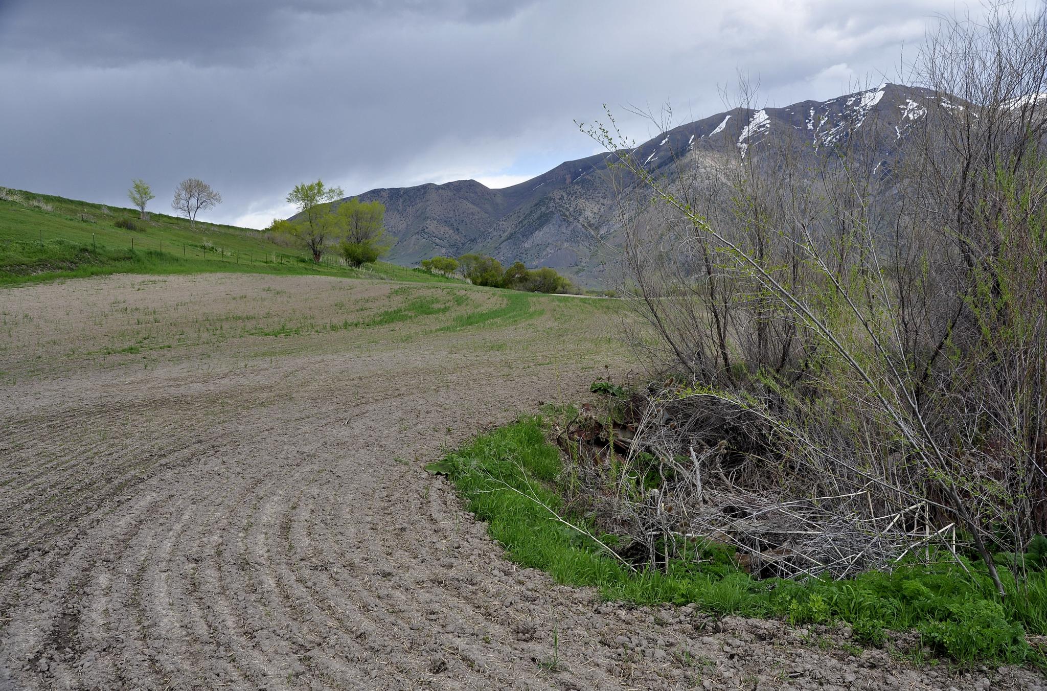
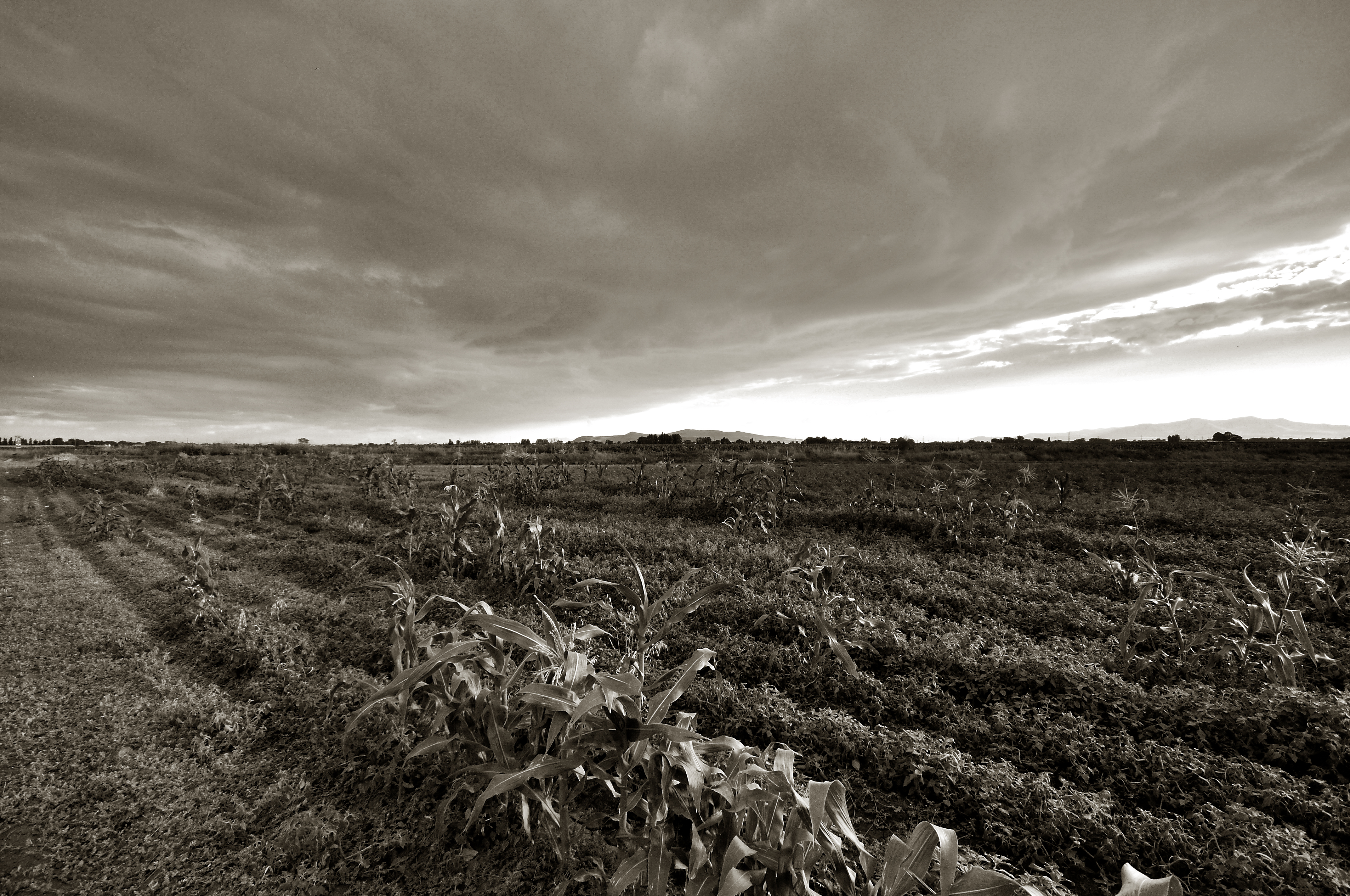
Field. Elwood, Utah
From the Salt Lake to Flat Top Mountain
Hansen Park. Elwood, Utah
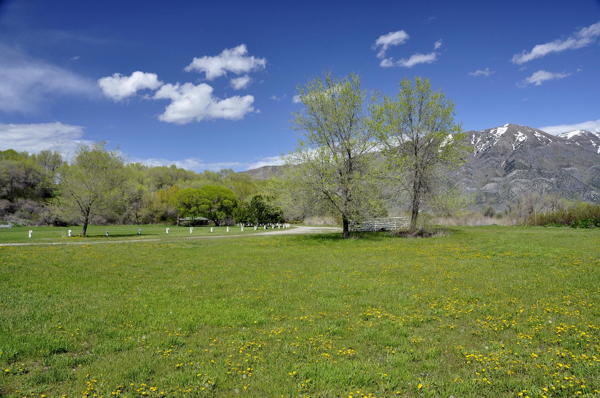
Hansen Park. Elwood, Utah
Bear River. Elwood, Utah
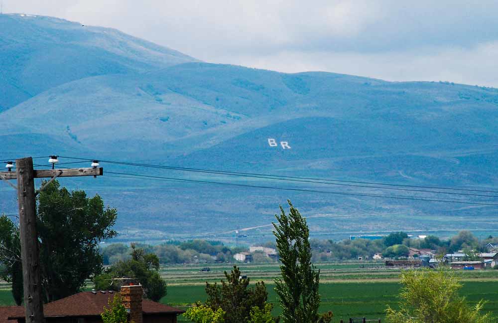
Letters BR (Bear River in Utah)

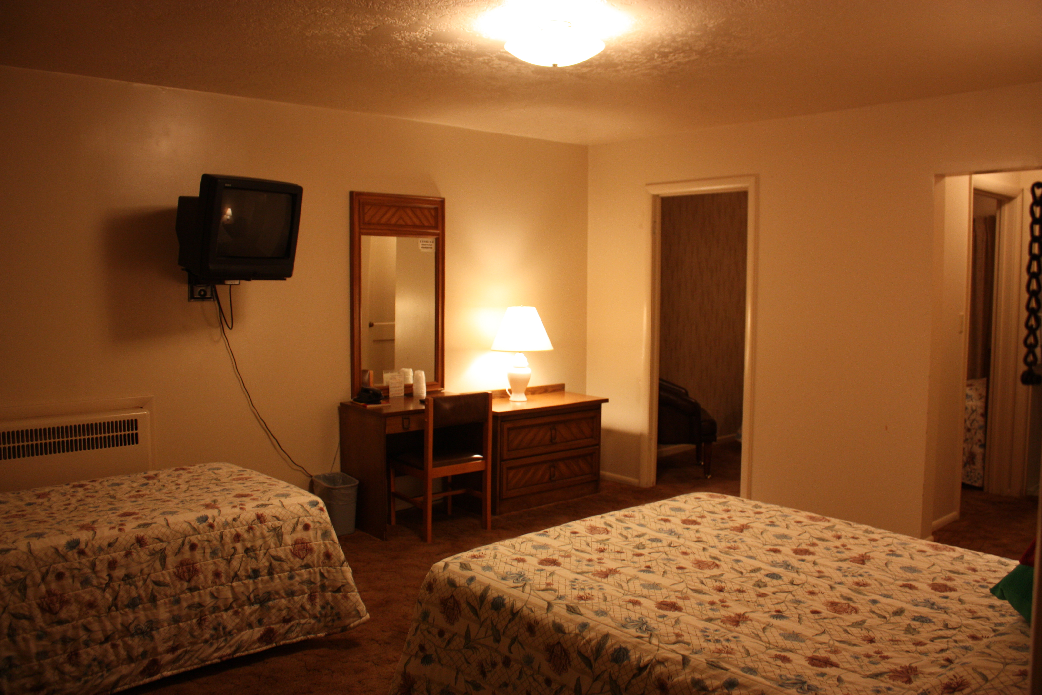
The Marble Motel
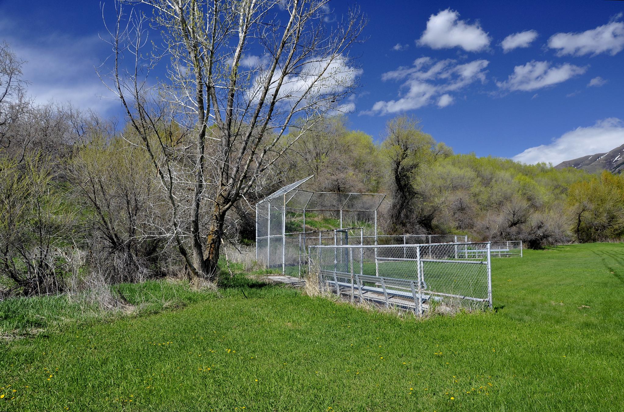
Hansen Park. Elwood, Utah
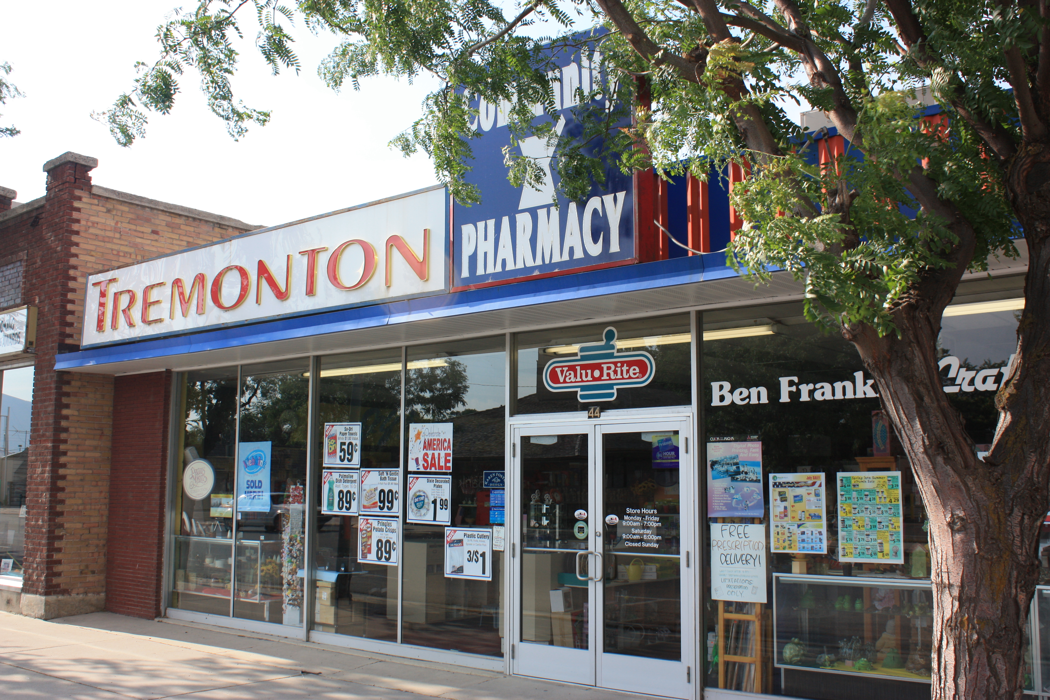
Tremonton Drugs
Inside the Marbel
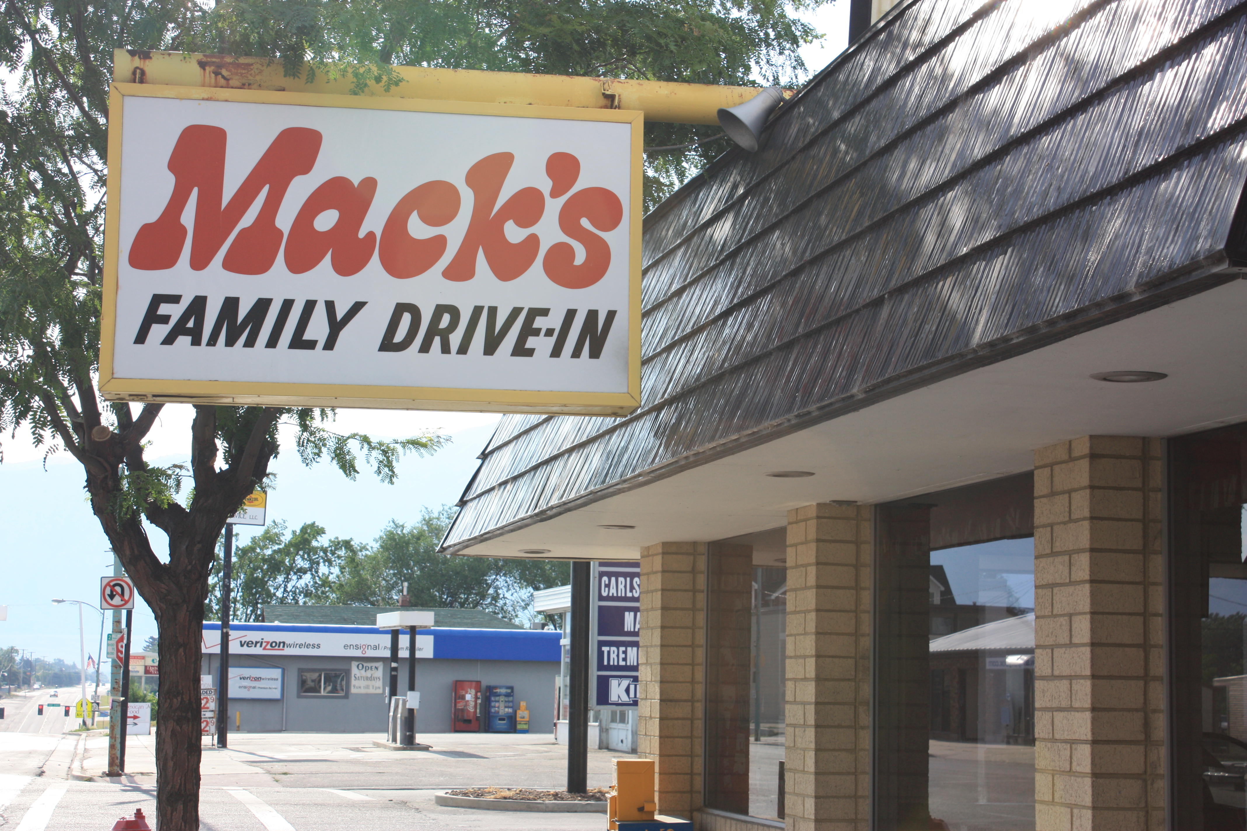
Macks Drive In
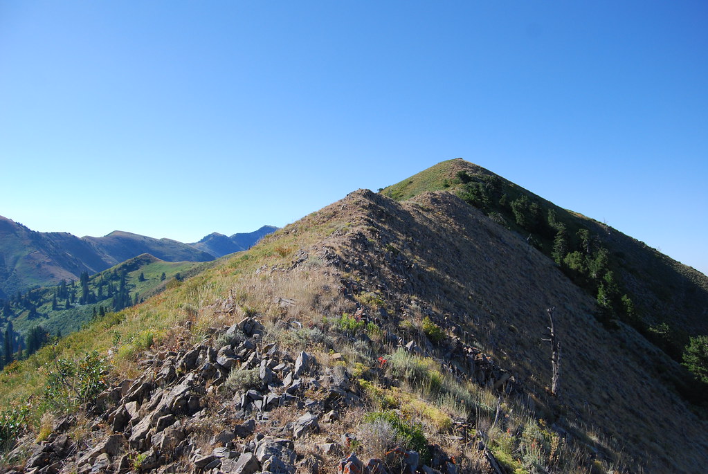
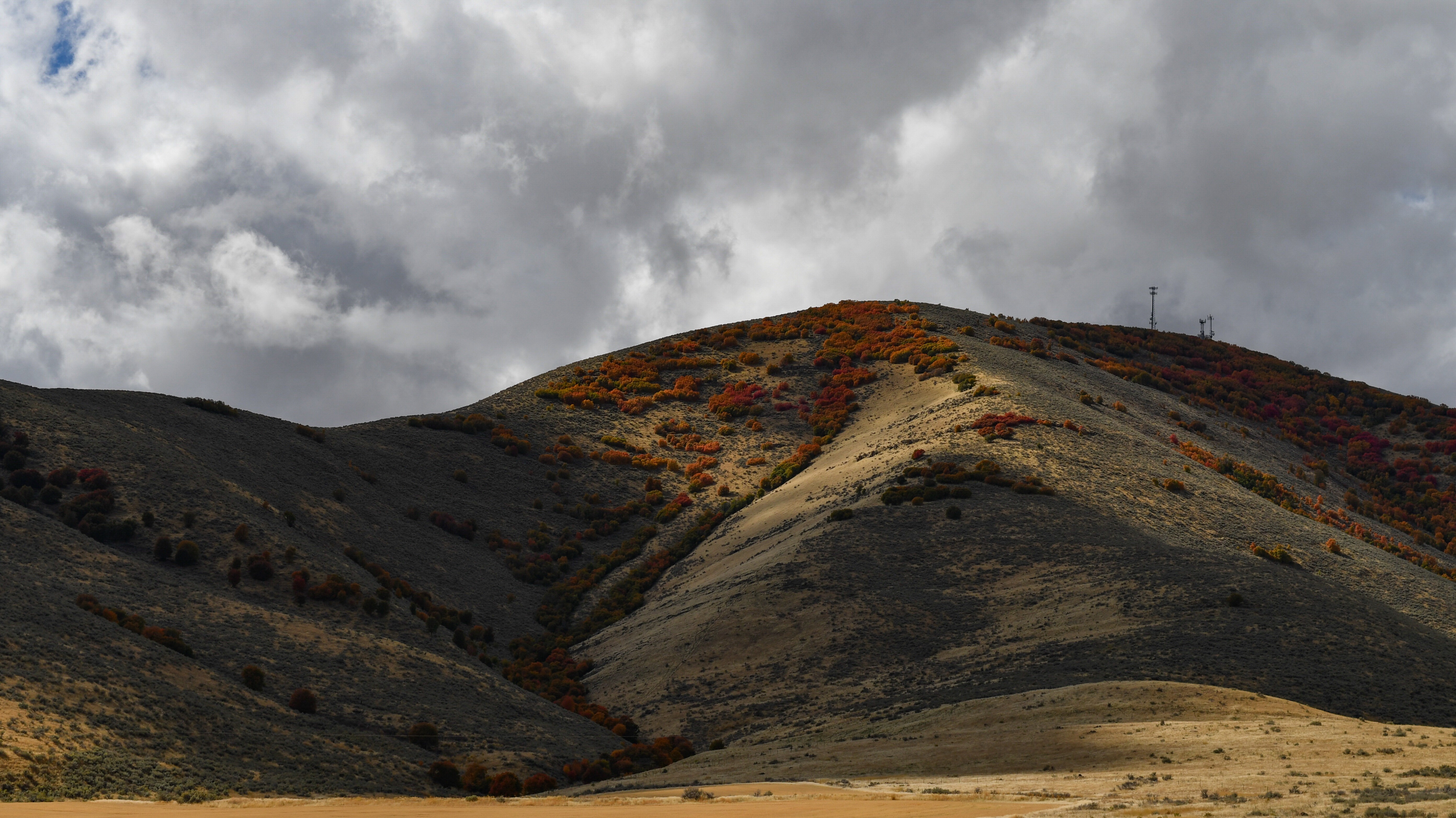
Raptor Peak
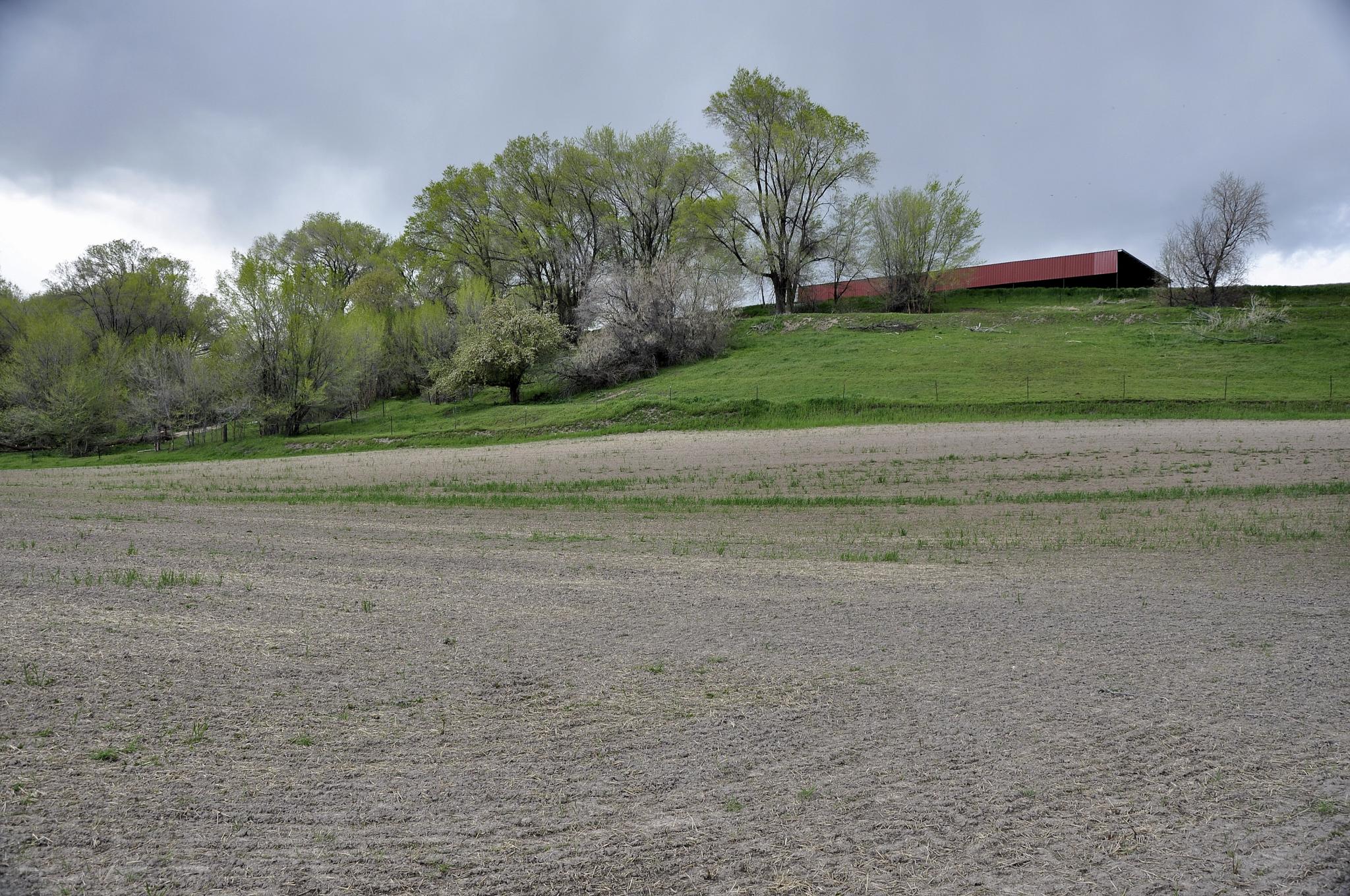
Field. Elwood, Utah
20170822-182833-9
West Side of Tremonton Panoramic

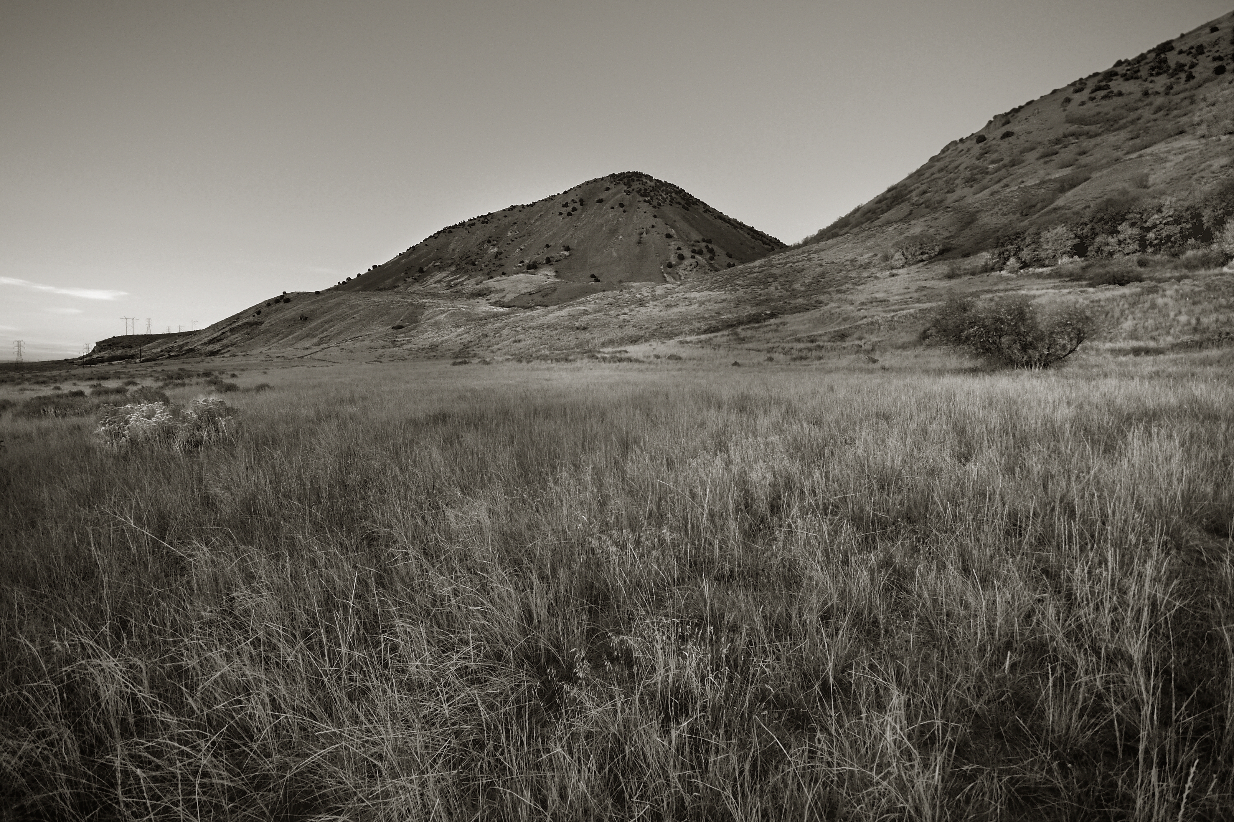
Little Mountain. Box Elder County, Utah

Sunset12 Tremonton, UT USA
North Of Elwood. Box Elder County, Utah

West Of Elwood. Box Elder County, Utah
2017-08-26 07.36.32

West Of Elwood. Box Elder County, Utah
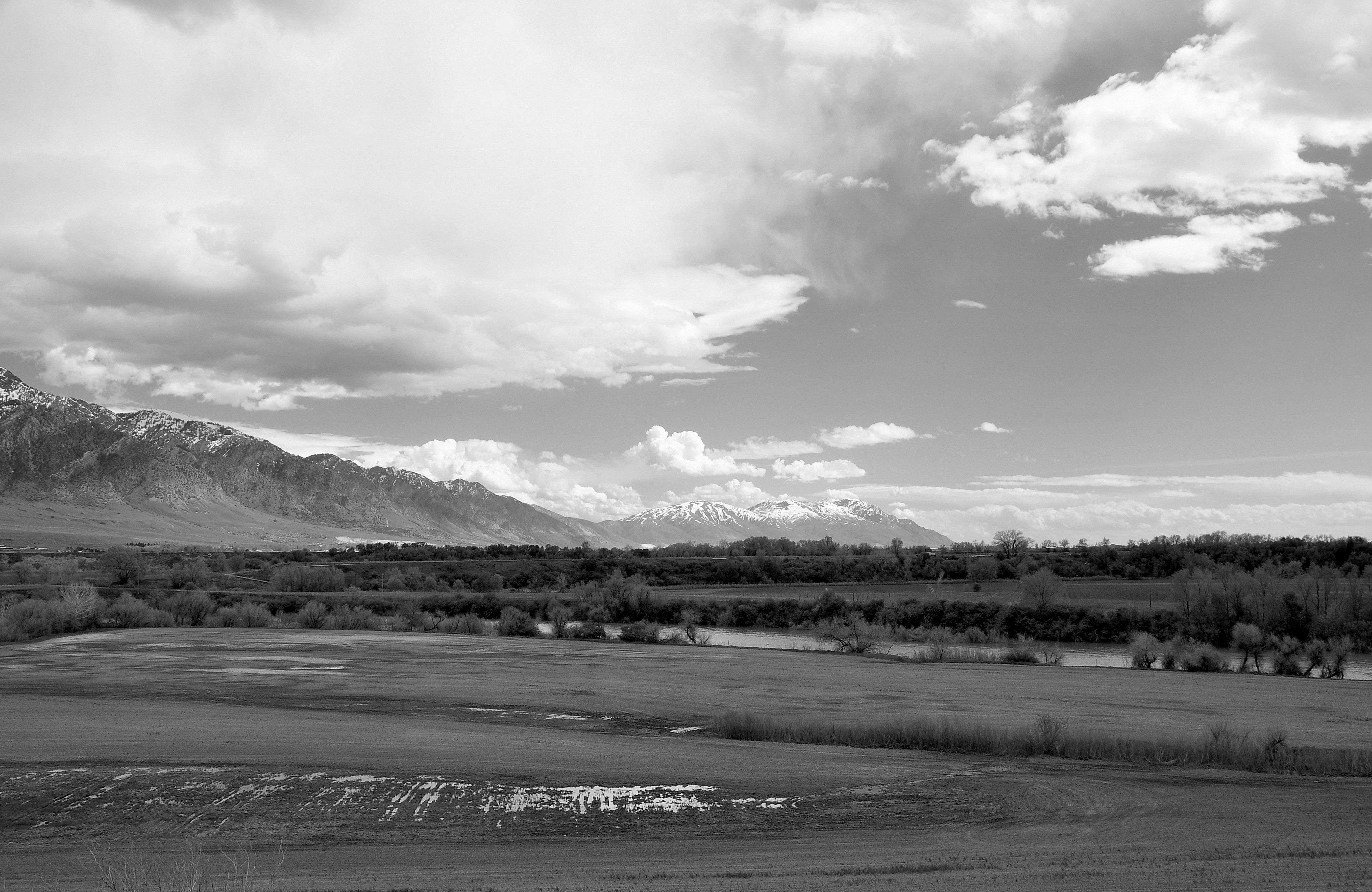
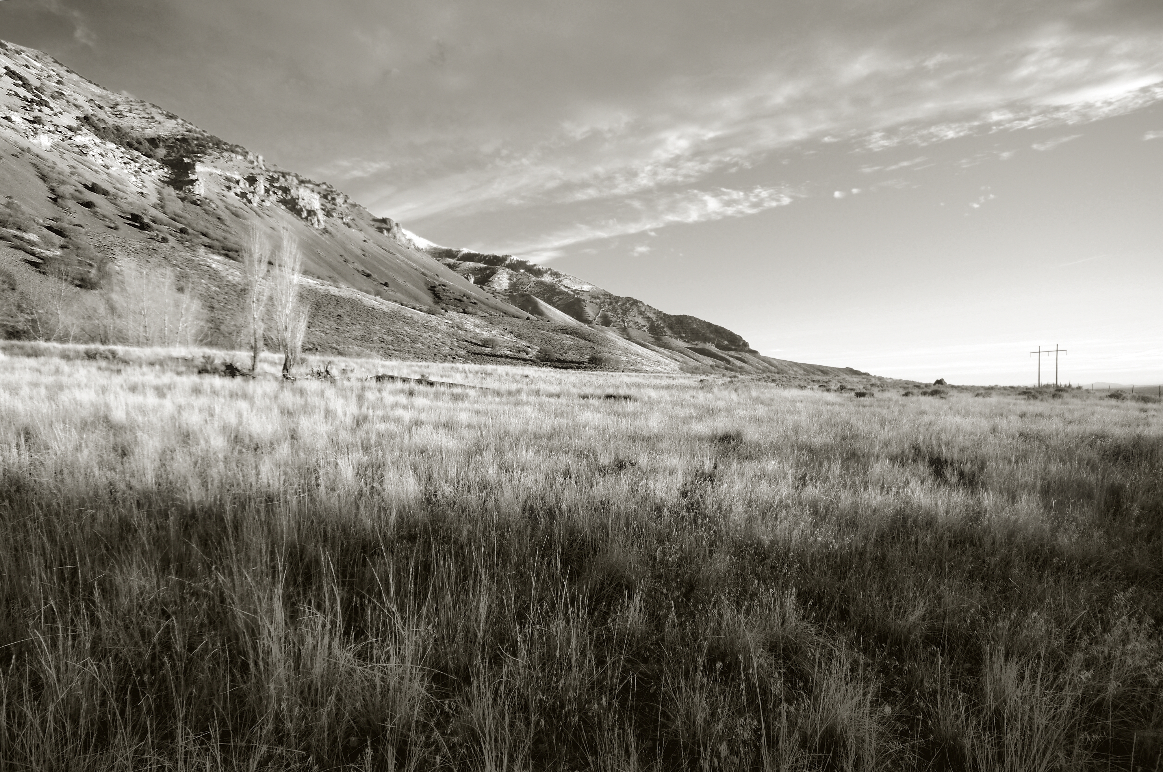
Wellsville Mountains, Utah
Wellsville Mountains, Utah

Tremonton, Utah
Wellsville Mountains, Utah

Bear River Valley, Utah

Invasive Species #2. Tremonton, Utah
North Of Elwood. Box Elder County, Utah
Bear River Valley, Utah
IMG_8318 - Version 2
10.4
4-0753
Topographic Map of N W, Tremonton, UT, USA
Find elevation by address:

Places near N W, Tremonton, UT, USA:
515 N 800 W
550 W 1000 N
16 N Tremont St
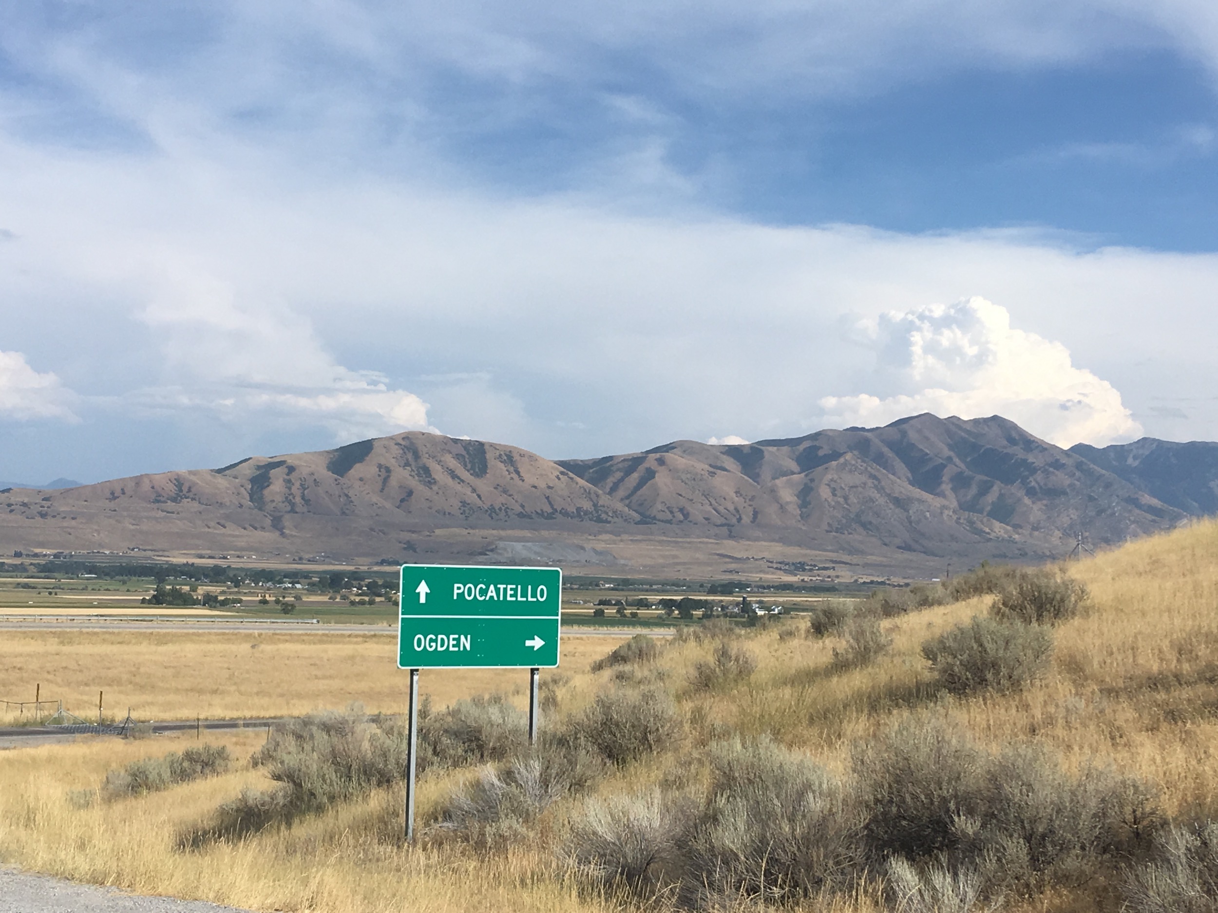
Tremonton
Garland
Elwood
W N, Tremonton, UT, USA
N W, Collinston, UT, USA
Collinston
Bear River City
W N, Bear River City, UT, USA
W N, Tremonton, UT, USA
Plymouth
15320 N 400 W
Bear River Valley Co-op
7041 W 600 N
Corinne
W N, Mendon, UT, USA
Peter
N W, Cache, UT, USA
Recent Searches:
- Elevation of Elwyn Dr, Roanoke Rapids, NC, USA
- Elevation of Congressional Dr, Stevensville, MD, USA
- Elevation of Bellview Rd, McLean, VA, USA
- Elevation of Stage Island Rd, Chatham, MA, USA
- Elevation of Shibuya Scramble Crossing, 21 Udagawacho, Shibuya City, Tokyo -, Japan
- Elevation of Jadagoniai, Kaunas District Municipality, Lithuania
- Elevation of Pagonija rock, Kranto 7-oji g. 8"N, Kaunas, Lithuania
- Elevation of Co Rd 87, Jamestown, CO, USA
- Elevation of Tenjo, Cundinamarca, Colombia
- Elevation of Côte-des-Neiges, Montreal, QC H4A 3J6, Canada