Elevation of Dayton, ID, USA
Location: United States > Idaho > Franklin County >
Longitude: -111.99356
Latitude: 42.1129787
Elevation: 1470m / 4823feet
Barometric Pressure: 85KPa
Elevation Map:
Satellite Map:
Related Photos:
The House on the Corner No.2
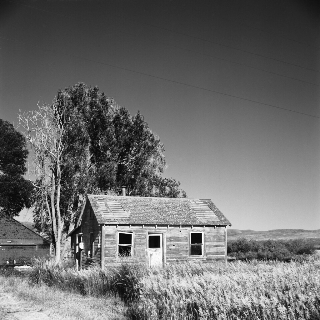
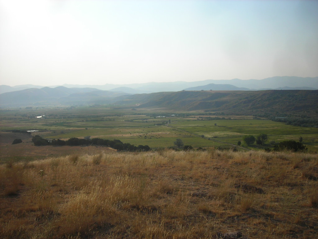
Abandoned In Deep Creek
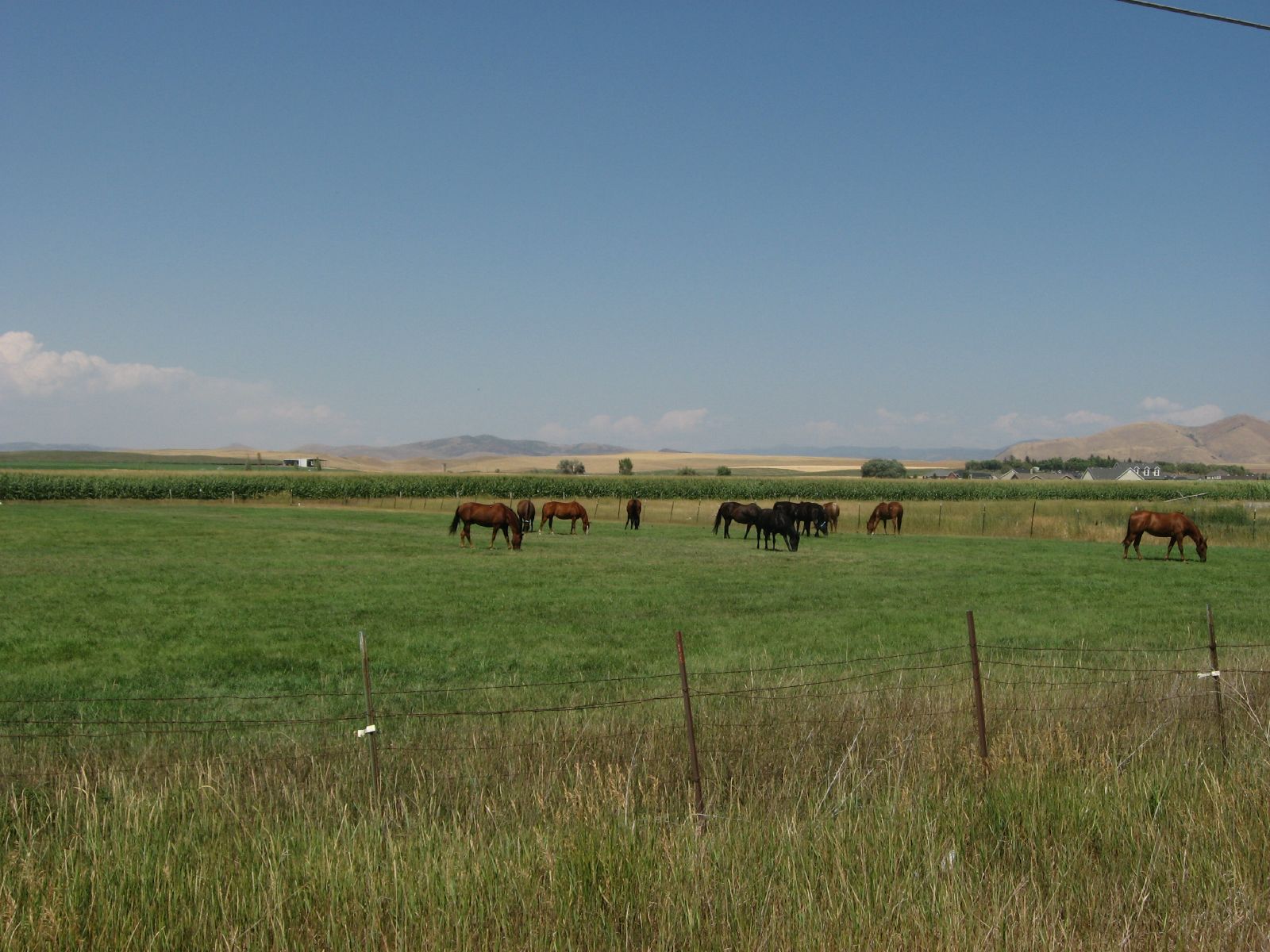
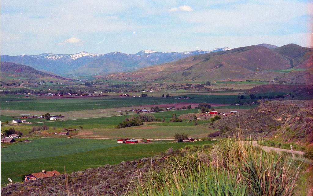
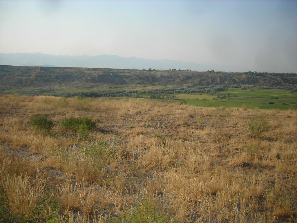
Pasture Near Preston, Idaho
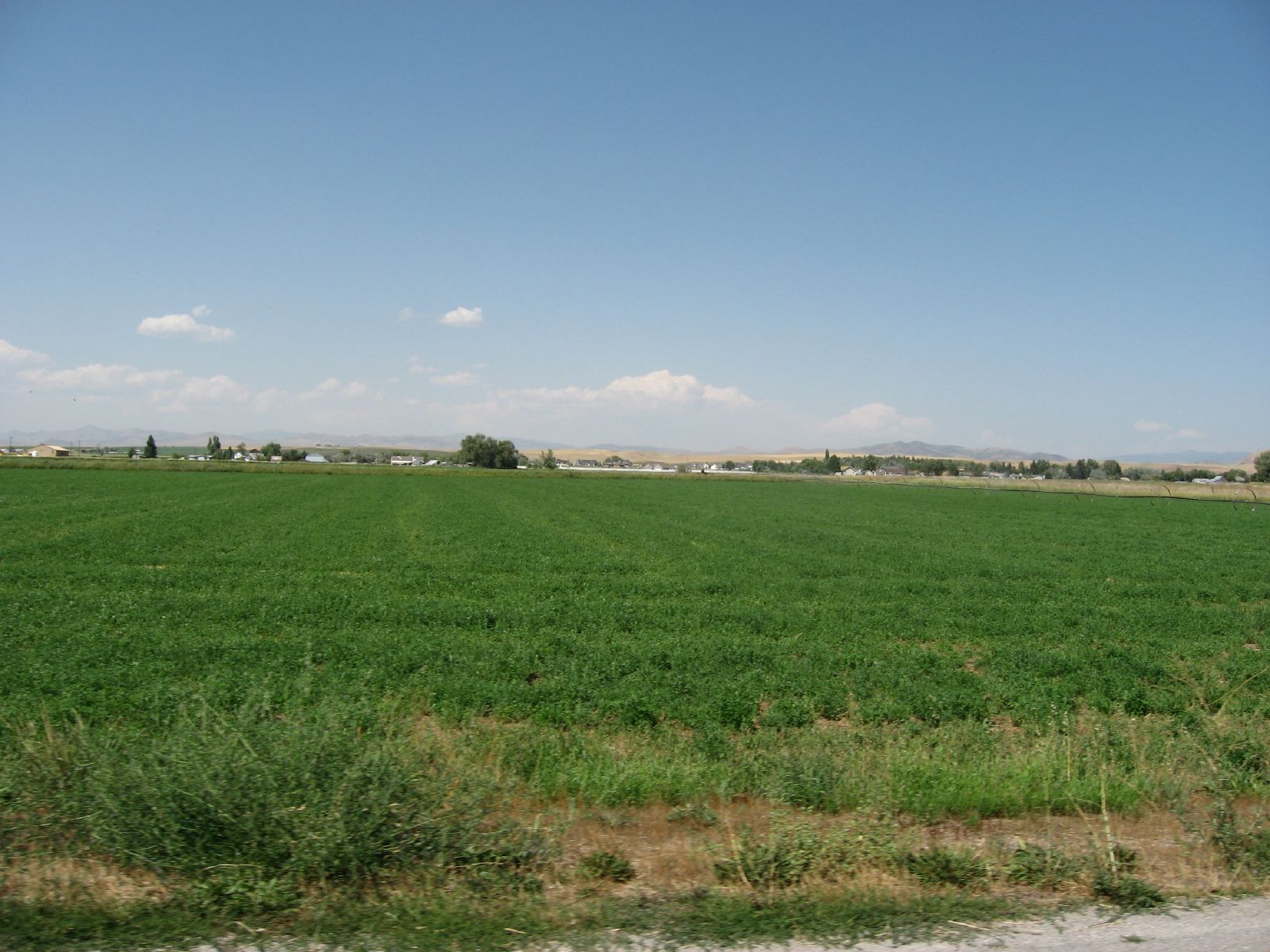
071507 460
ngEnv-04-Riverdale-Idaho_panorama_88 copy

071507 473
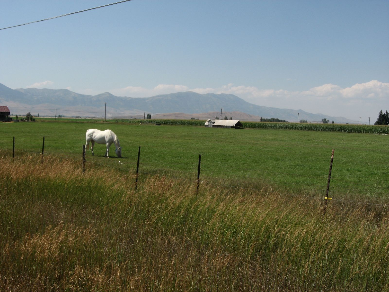
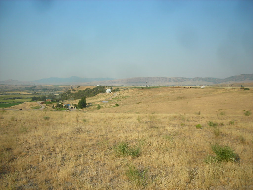
Agrarian Preston, Idaho
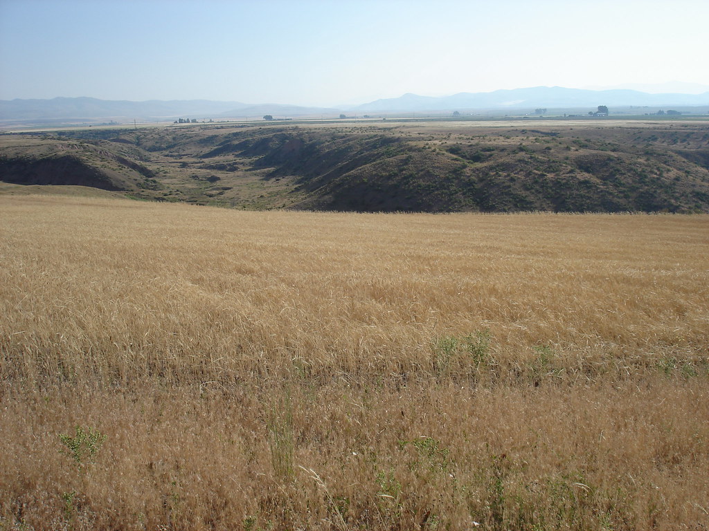
Idaho State Highway 34 Between Preston and Soda Springs, Idaho
071507 472

071507 461
071507 464
071507 467
071507 466
071507 465
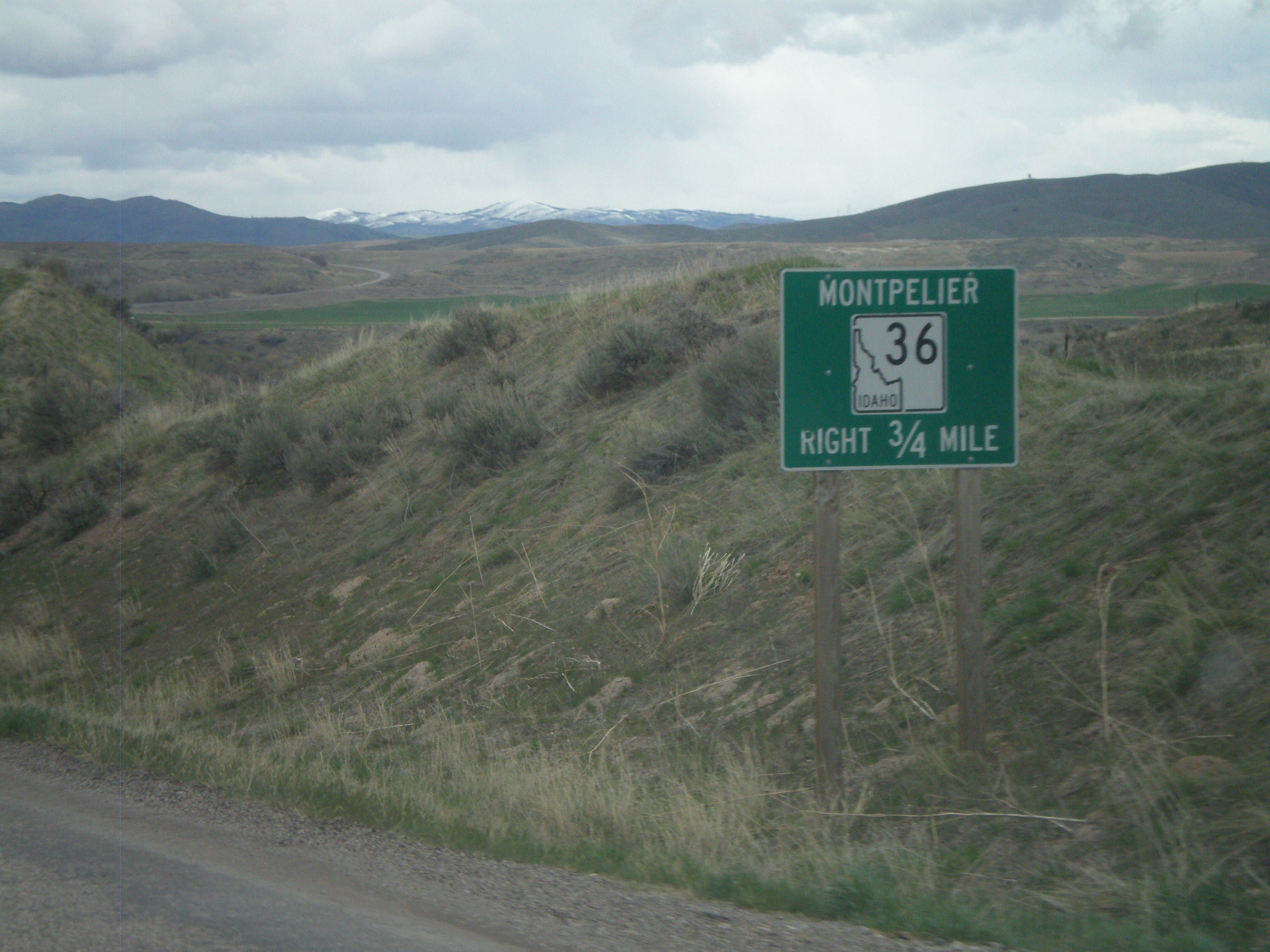
ID-34/ID-36 East Approaching ID-36
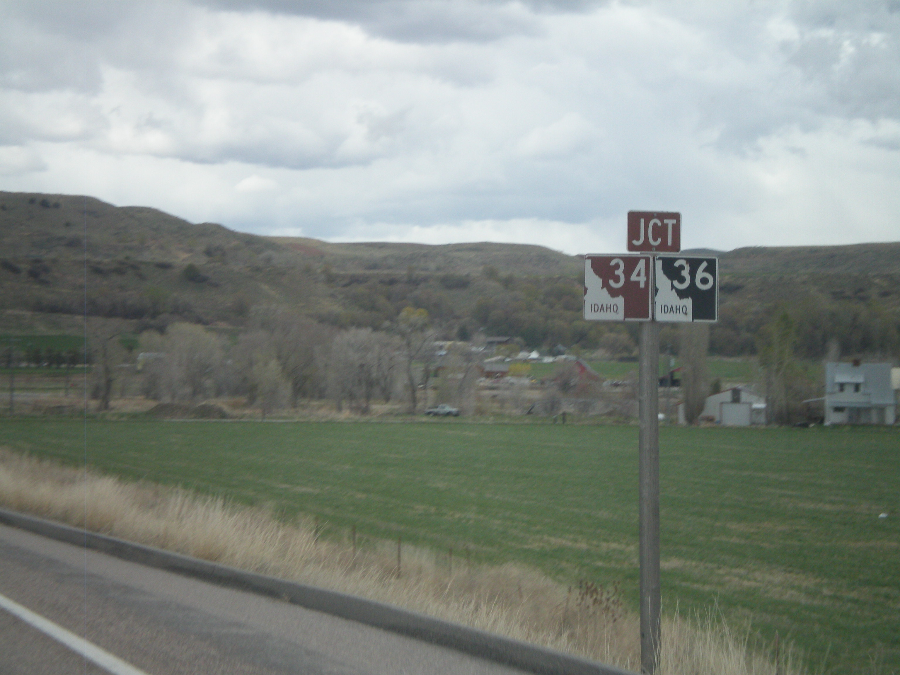
ID-34/ID-36 East Approaching Split
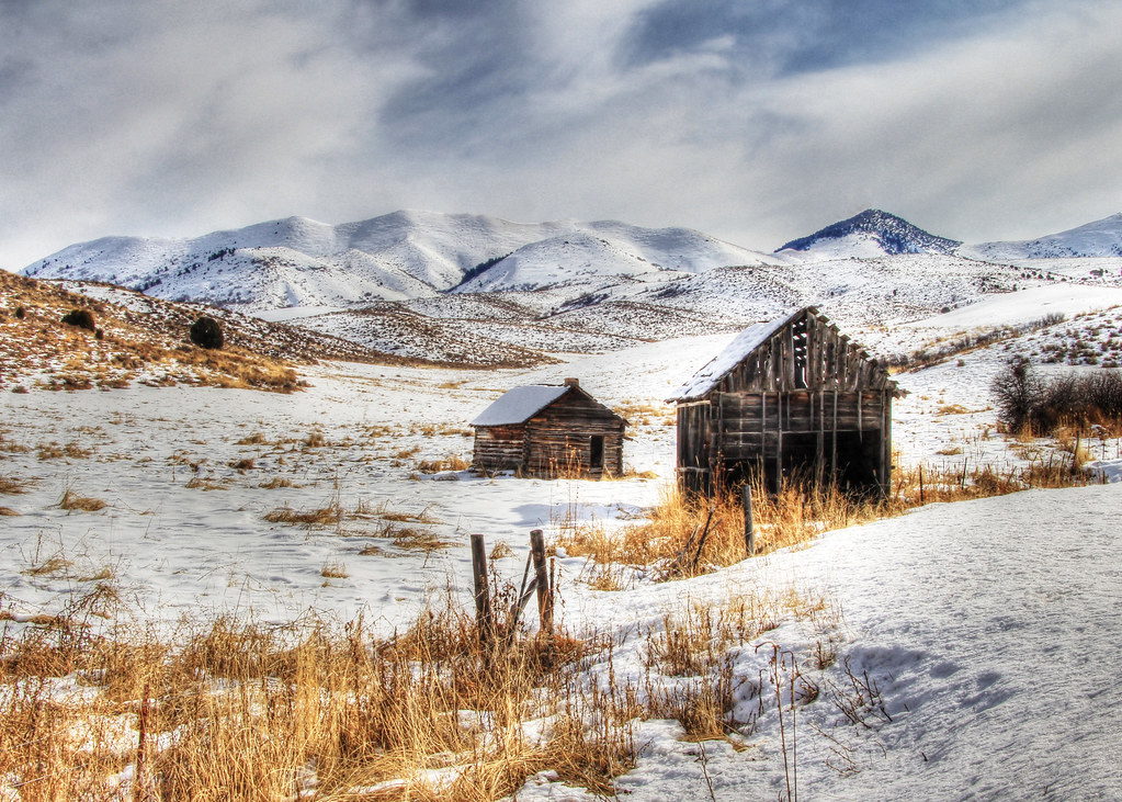
Cabin Farmland
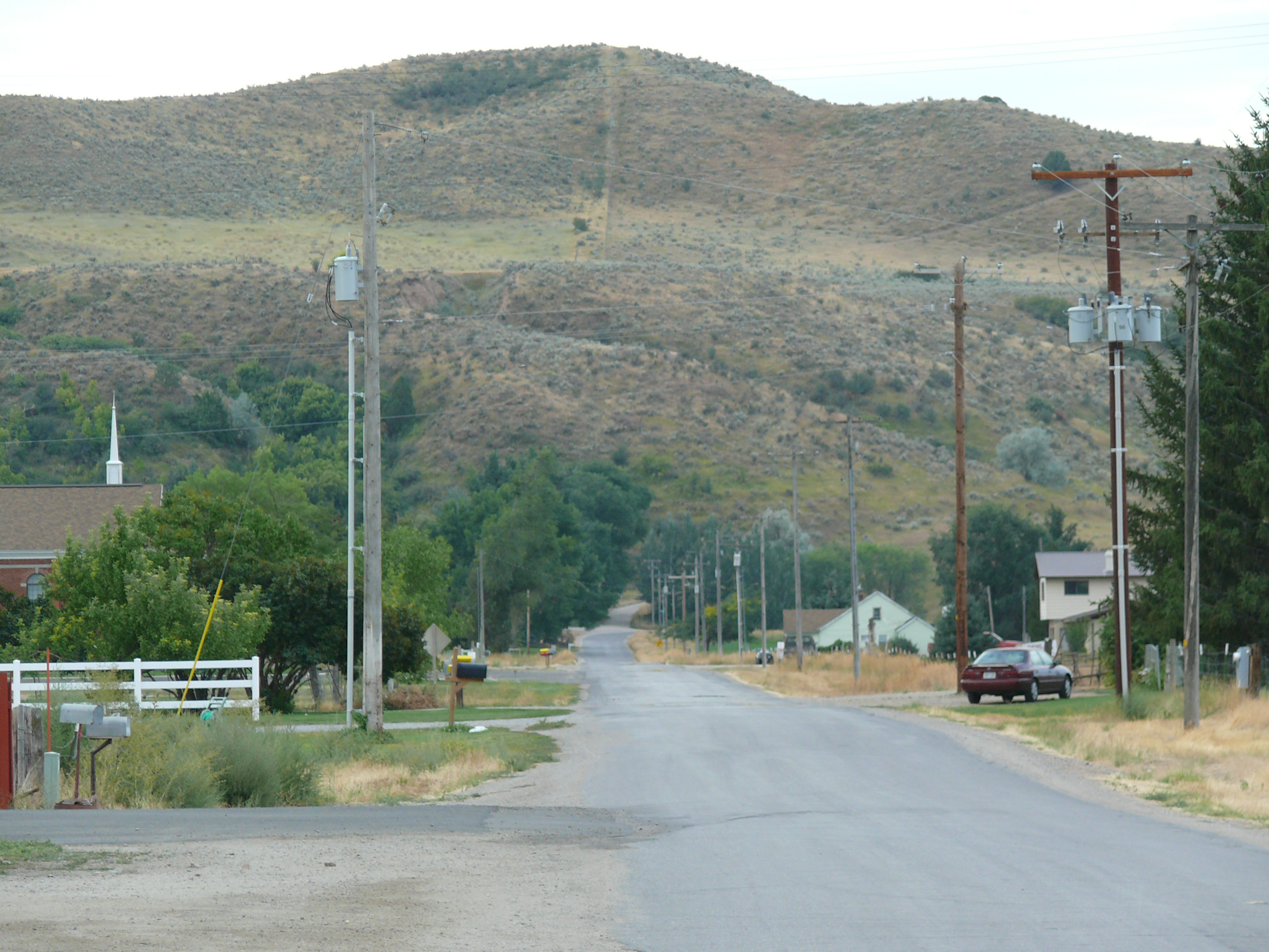
Riverdale Resort, Preston, ID

Stella and I, back on the road again #idaho
Topographic Map of Dayton, ID, USA
Find elevation by address:

Places in Dayton, ID, USA:
Places near Dayton, ID, USA:
N Westside Hwy, Dayton, ID, USA
27 N Center St, Weston, ID, USA
8 S State St, Preston, ID, USA
Preston
43 Fairview-Franklin Rd, Preston, ID, USA
25 E Center St, Clarkston, UT, USA
Clarkston
Trenton
Trenton
20 State Rte, Trenton, UT, USA
E Cub River Rd, Franklin, ID, USA
9258 W 9950 N
Franklin
369 W 800 S
Cove
5363 E Cub River Rd
91 N E, Smithfield, UT, USA
Newton
N W, Cache, UT, USA
6688 E Cub River Rd
Recent Searches:
- Elevation of Corso Fratelli Cairoli, 35, Macerata MC, Italy
- Elevation of Tallevast Rd, Sarasota, FL, USA
- Elevation of 4th St E, Sonoma, CA, USA
- Elevation of Black Hollow Rd, Pennsdale, PA, USA
- Elevation of Oakland Ave, Williamsport, PA, USA
- Elevation of Pedrógão Grande, Portugal
- Elevation of Klee Dr, Martinsburg, WV, USA
- Elevation of Via Roma, Pieranica CR, Italy
- Elevation of Tavkvetili Mountain, Georgia
- Elevation of Hartfords Bluff Cir, Mt Pleasant, SC, USA