Elevation of 27 N Center St, Weston, ID, USA
Location: United States > Idaho > Franklin County >
Longitude: -111.97988
Latitude: 42.037954
Elevation: 1446m / 4744feet
Barometric Pressure: 85KPa
Elevation Map:
Satellite Map:
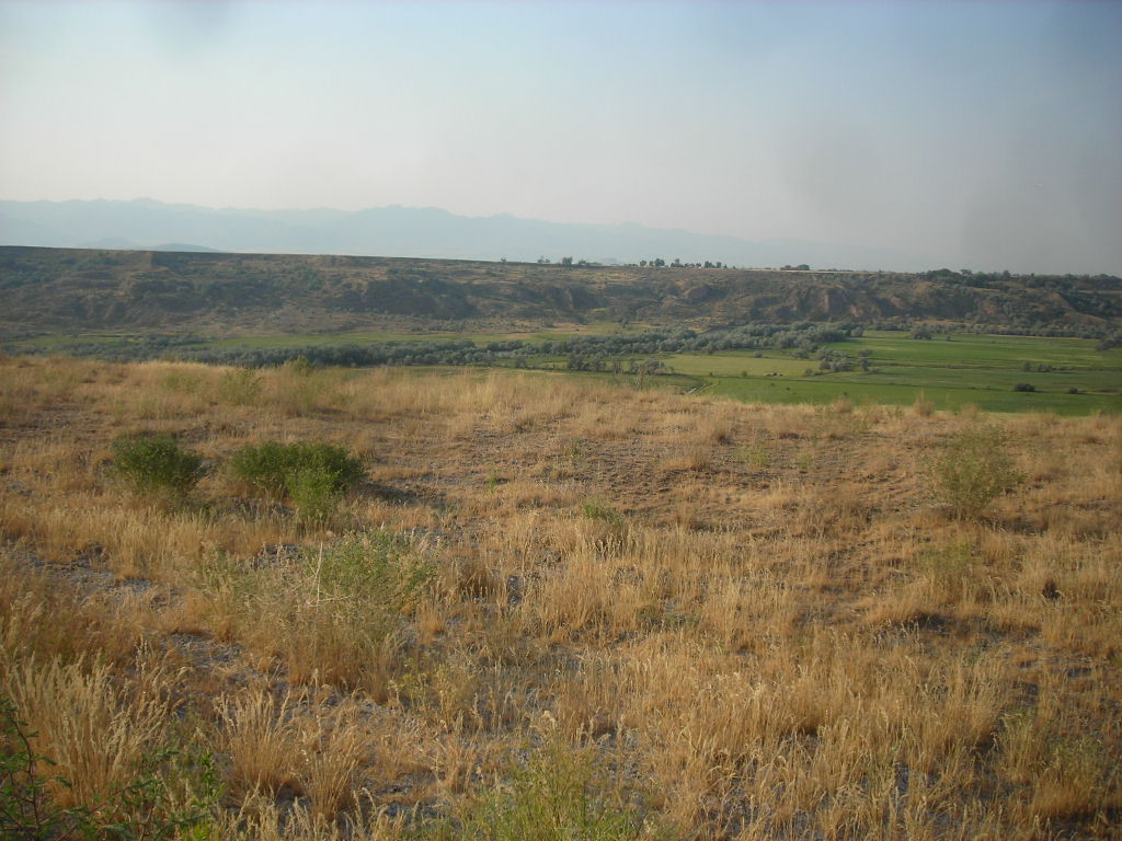
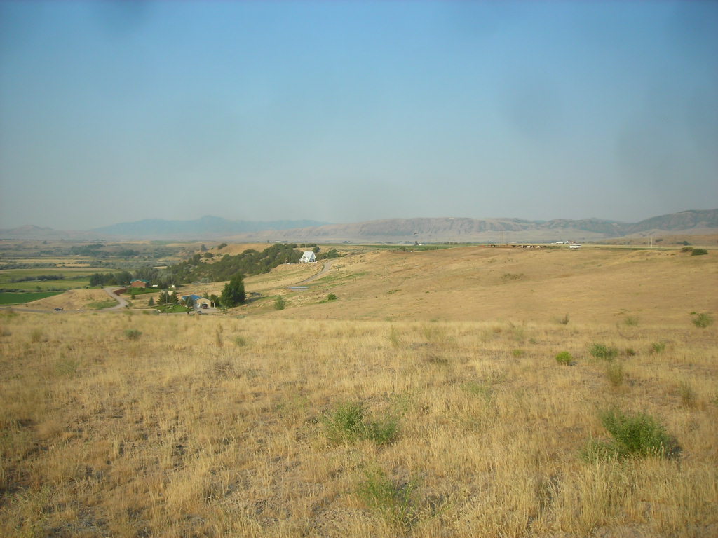
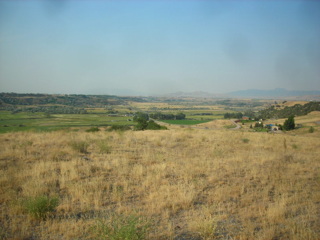
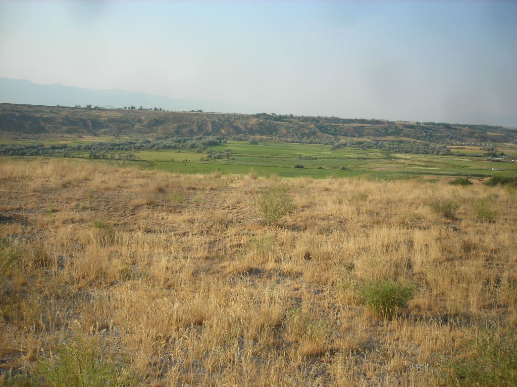
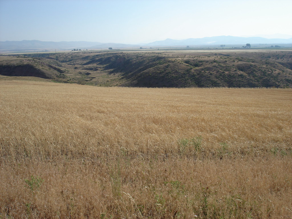
Related Photos:
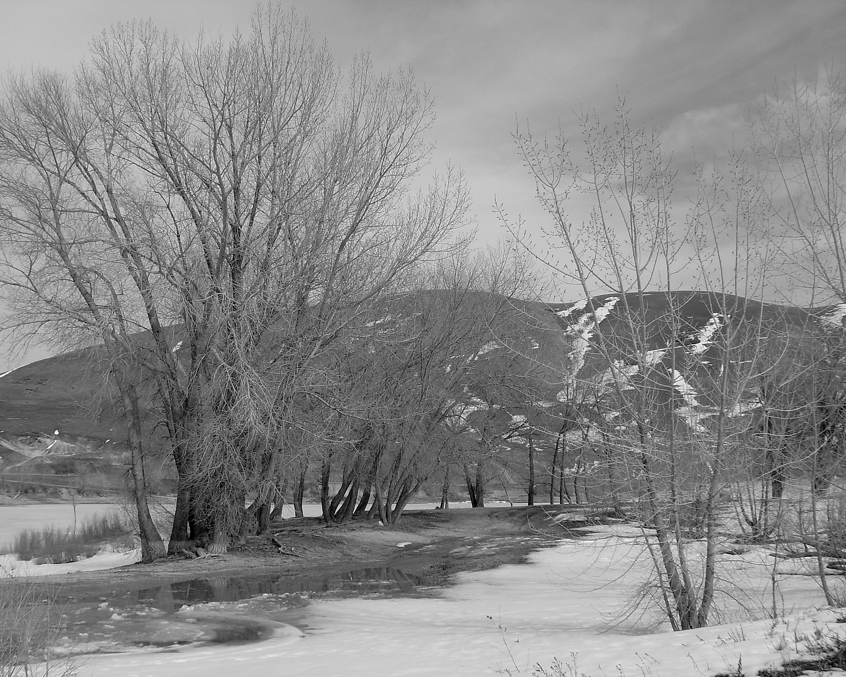
Newton Reservoir. Box Elder County, Utah
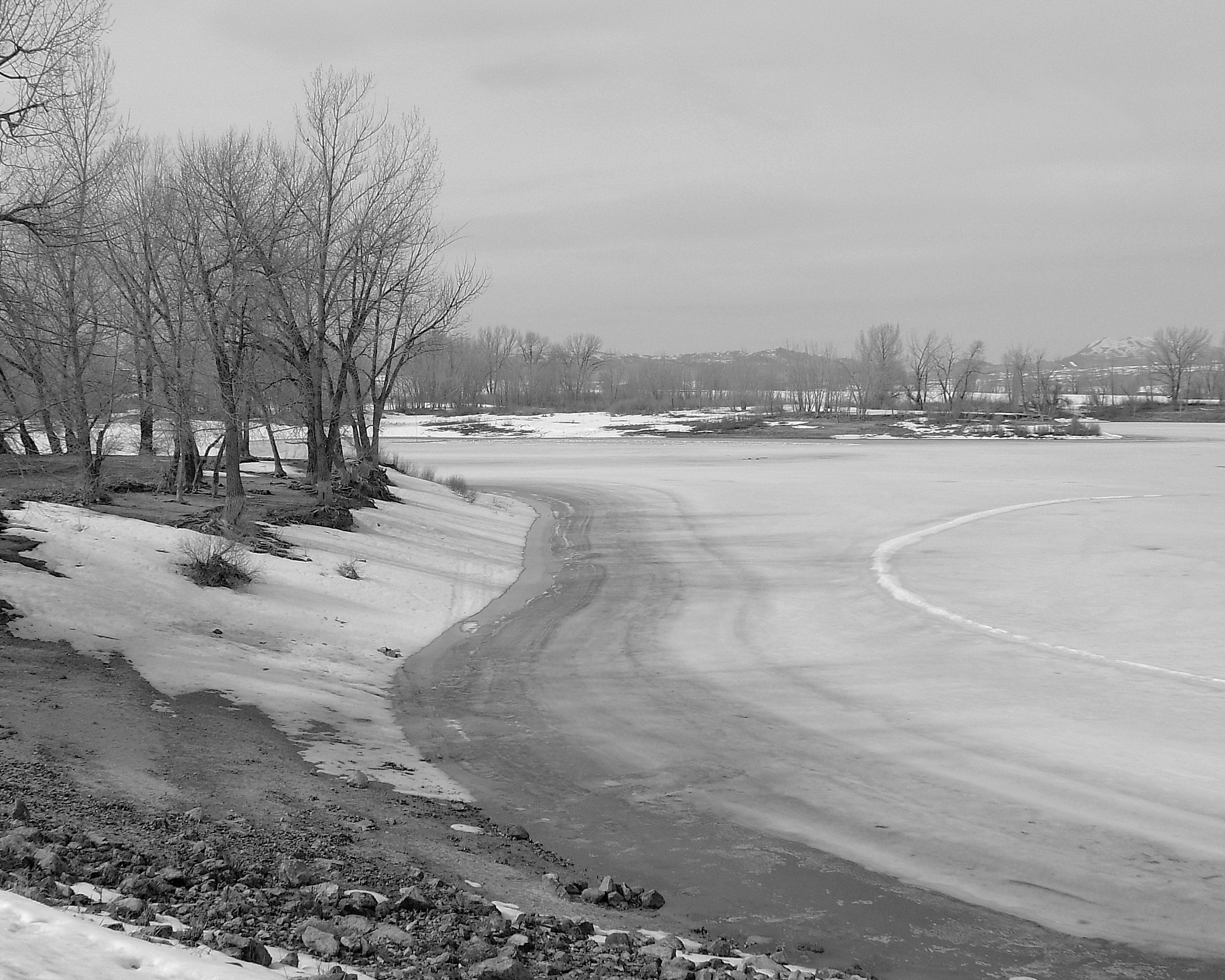
Newton Reservoir. Box Elder County, Utah
Trenton, Utah
The House on the Corner No.2
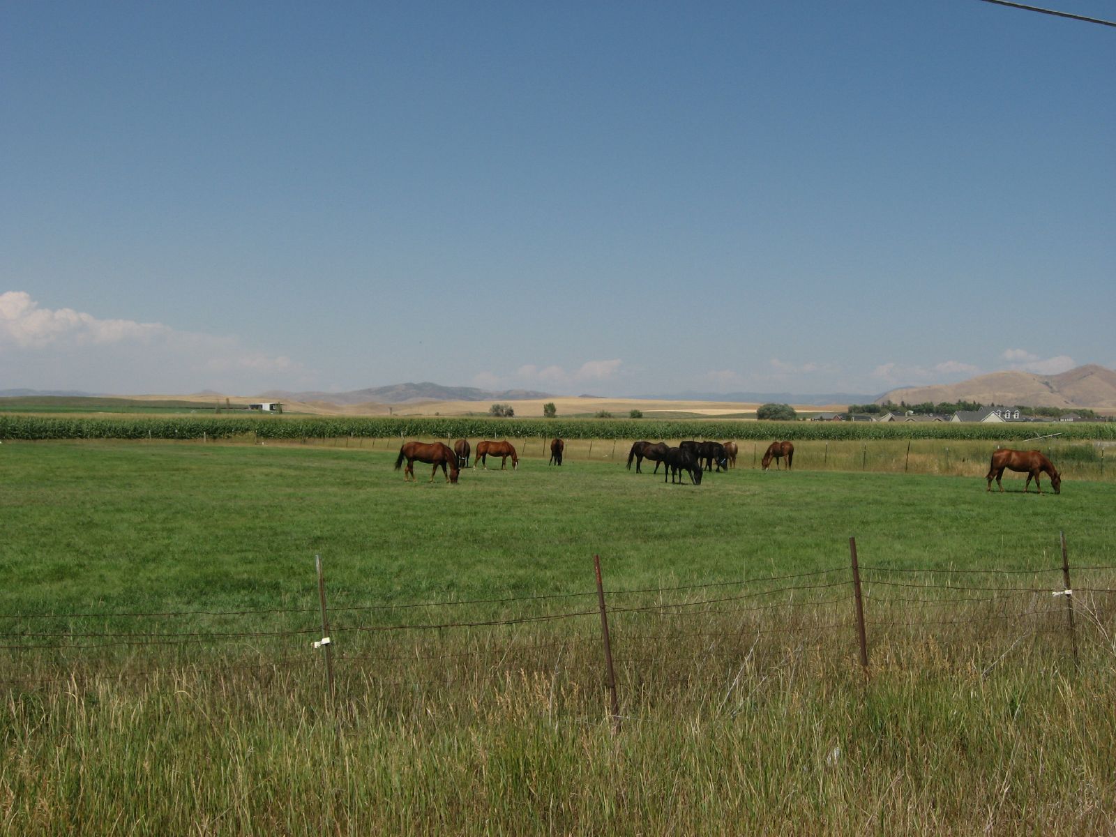
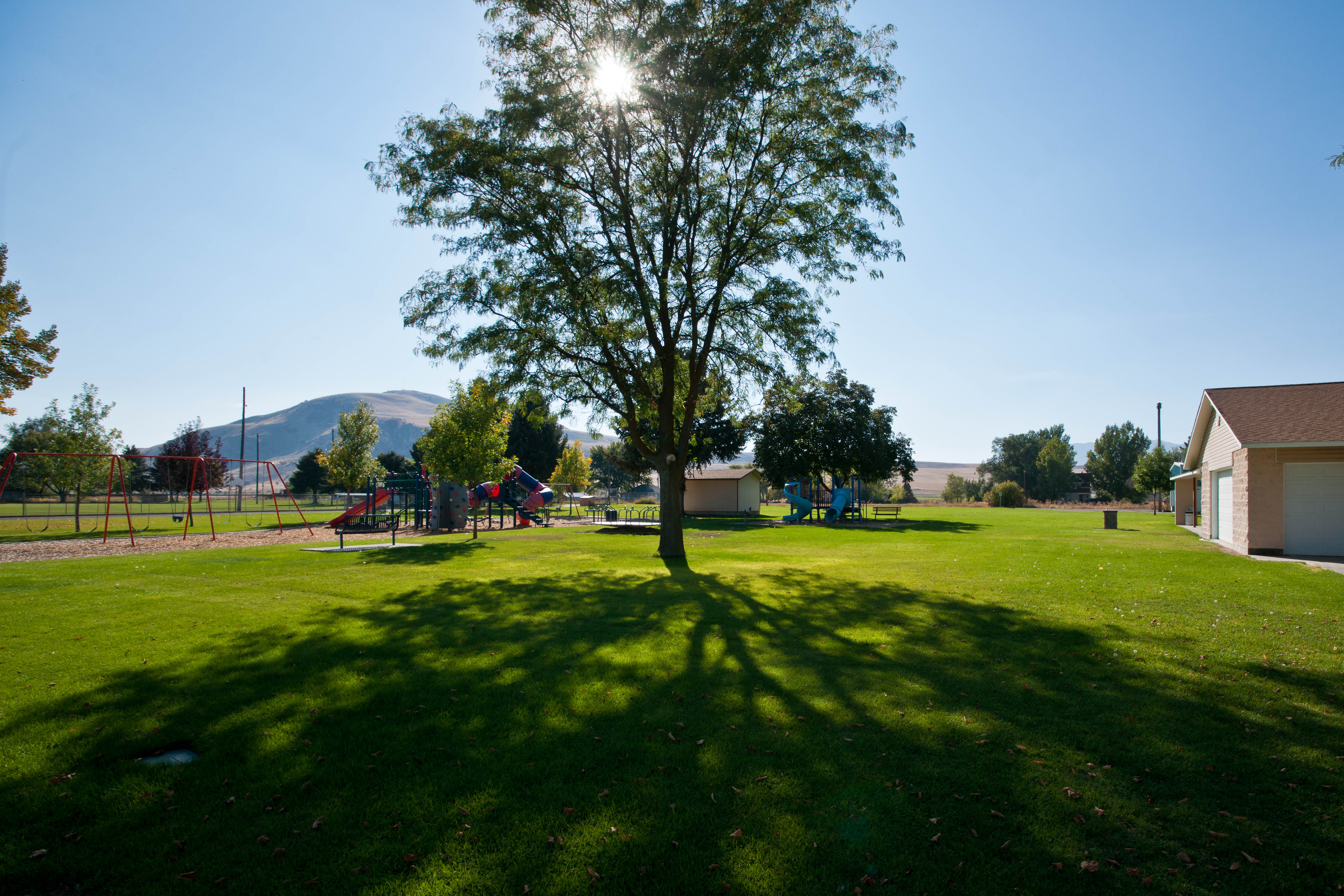
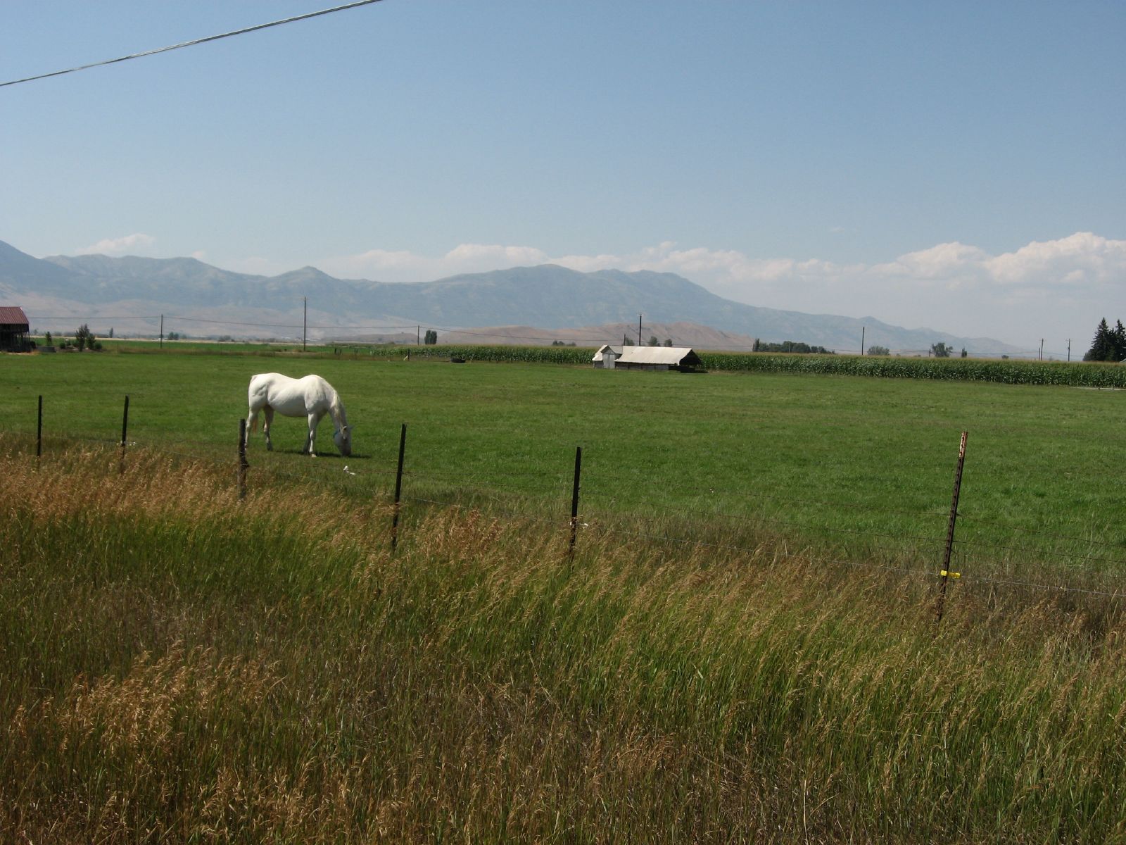
Pasture Near Preston, Idaho
071507 460
ngEnv-04-Riverdale-Idaho_panorama_88 copy

071507 473
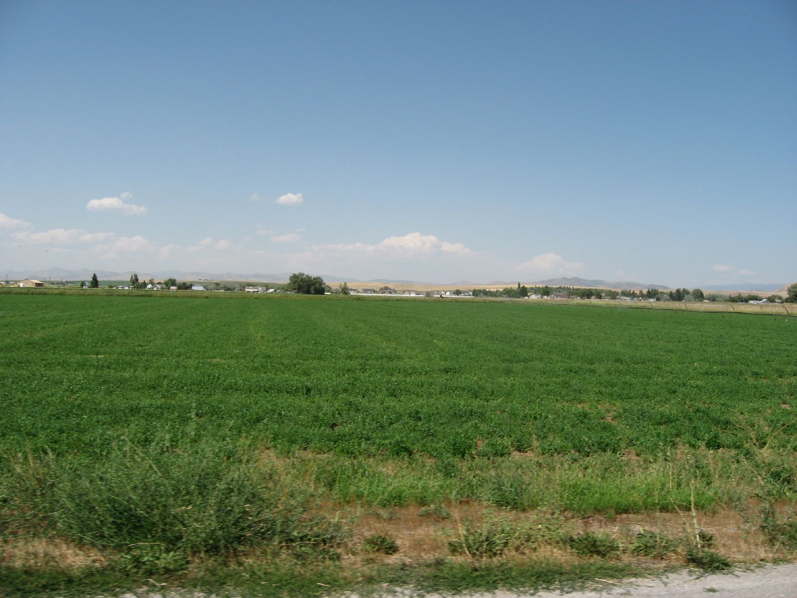
Corn fields
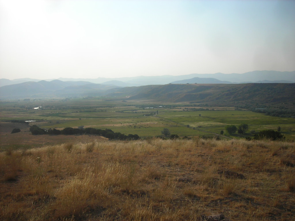
Agrarian Preston, Idaho
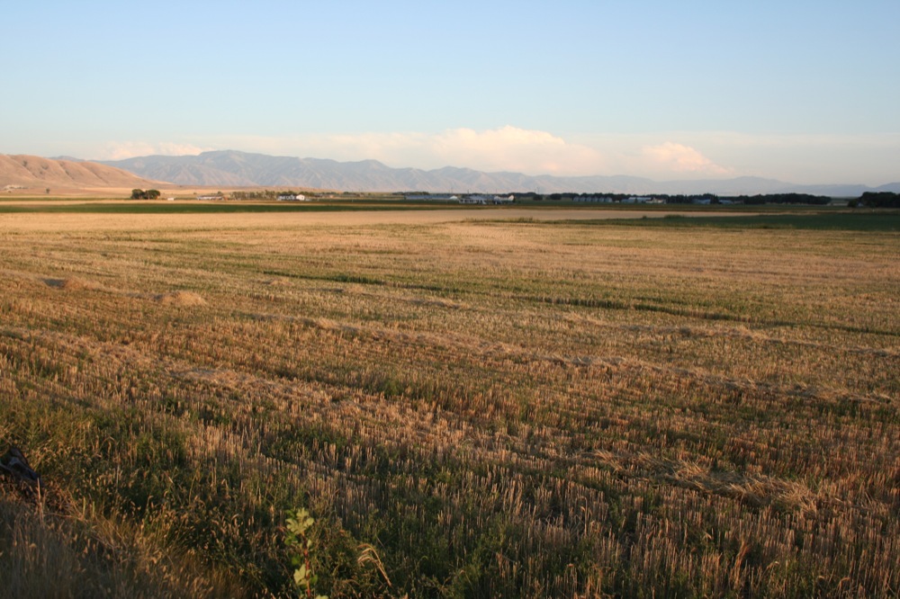
Idaho State Highway 34 Between Preston and Soda Springs, Idaho
071507 472
Horizon in Clarkston, Utah

071507 461

Haley is hauling
071507 464
071507 467

Looking on
071507 466
071507 465

US-91 North - Pioneer Historic Byway

Little Mountain
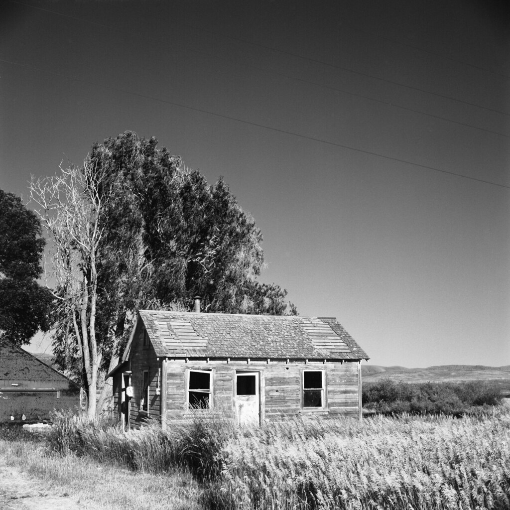
Cabin Farmland
Topographic Map of 27 N Center St, Weston, ID, USA
Find elevation by address:

Places near 27 N Center St, Weston, ID, USA:
N Westside Hwy, Dayton, ID, USA
Dayton
43 Fairview-Franklin Rd, Preston, ID, USA
8 S State St, Preston, ID, USA
Preston
Trenton
Trenton
20 State Rte, Trenton, UT, USA
25 E Center St, Clarkston, UT, USA
Clarkston
369 W 800 S
9258 W 9950 N
91 N E, Smithfield, UT, USA
Franklin
Newton
E Cub River Rd, Franklin, ID, USA
Cove
N W, Cache, UT, USA
Plymouth
5363 E Cub River Rd
Recent Searches:
- Elevation of Congressional Dr, Stevensville, MD, USA
- Elevation of Bellview Rd, McLean, VA, USA
- Elevation of Stage Island Rd, Chatham, MA, USA
- Elevation of Shibuya Scramble Crossing, 21 Udagawacho, Shibuya City, Tokyo -, Japan
- Elevation of Jadagoniai, Kaunas District Municipality, Lithuania
- Elevation of Pagonija rock, Kranto 7-oji g. 8"N, Kaunas, Lithuania
- Elevation of Co Rd 87, Jamestown, CO, USA
- Elevation of Tenjo, Cundinamarca, Colombia
- Elevation of Côte-des-Neiges, Montreal, QC H4A 3J6, Canada
- Elevation of Bobcat Dr, Helena, MT, USA