Elevation of Malad City, ID, USA
Location: United States > Idaho >
Longitude: -112.25079
Latitude: 42.1915872
Elevation: 1386m / 4547feet
Barometric Pressure: 86KPa
Elevation Map:
Satellite Map:
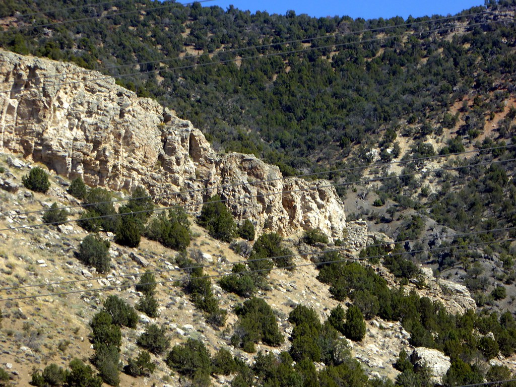
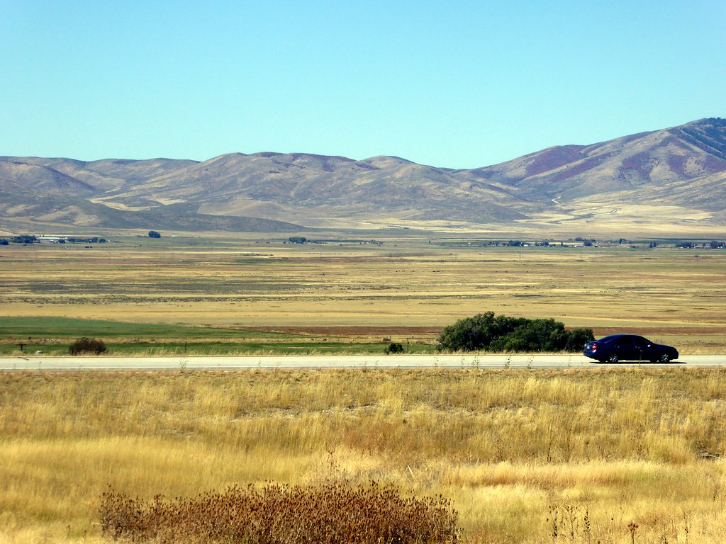
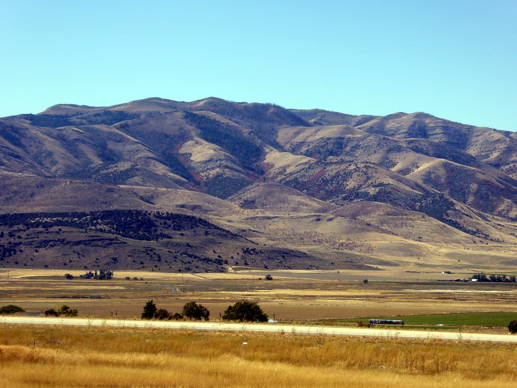
Related Photos:
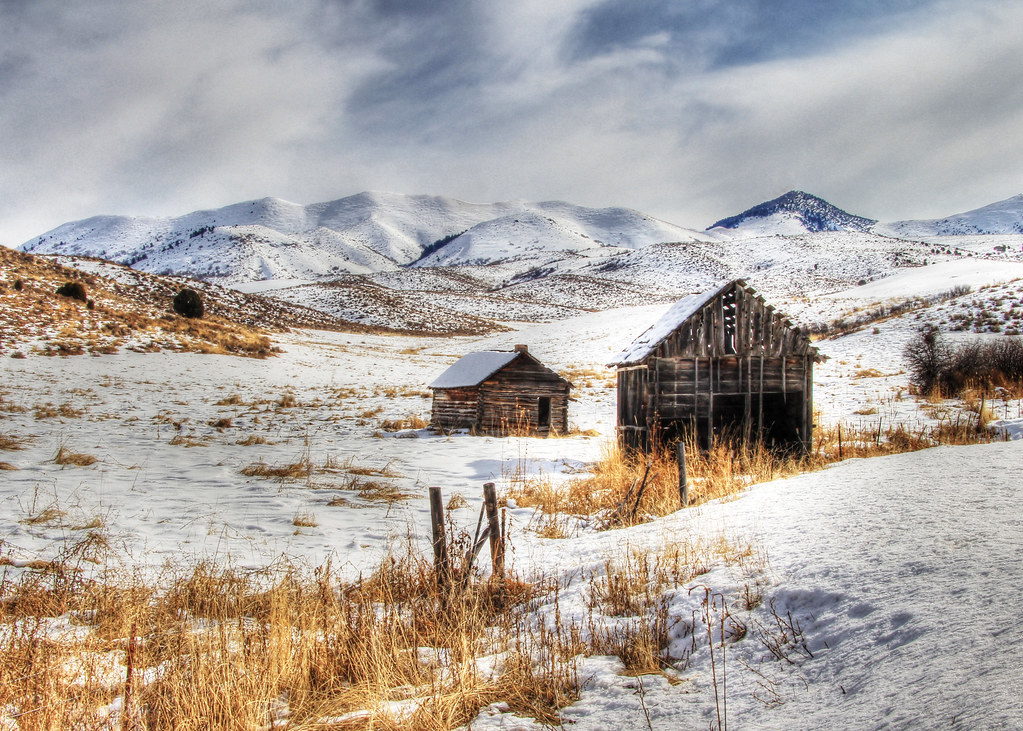
Abandoned In Deep Creek
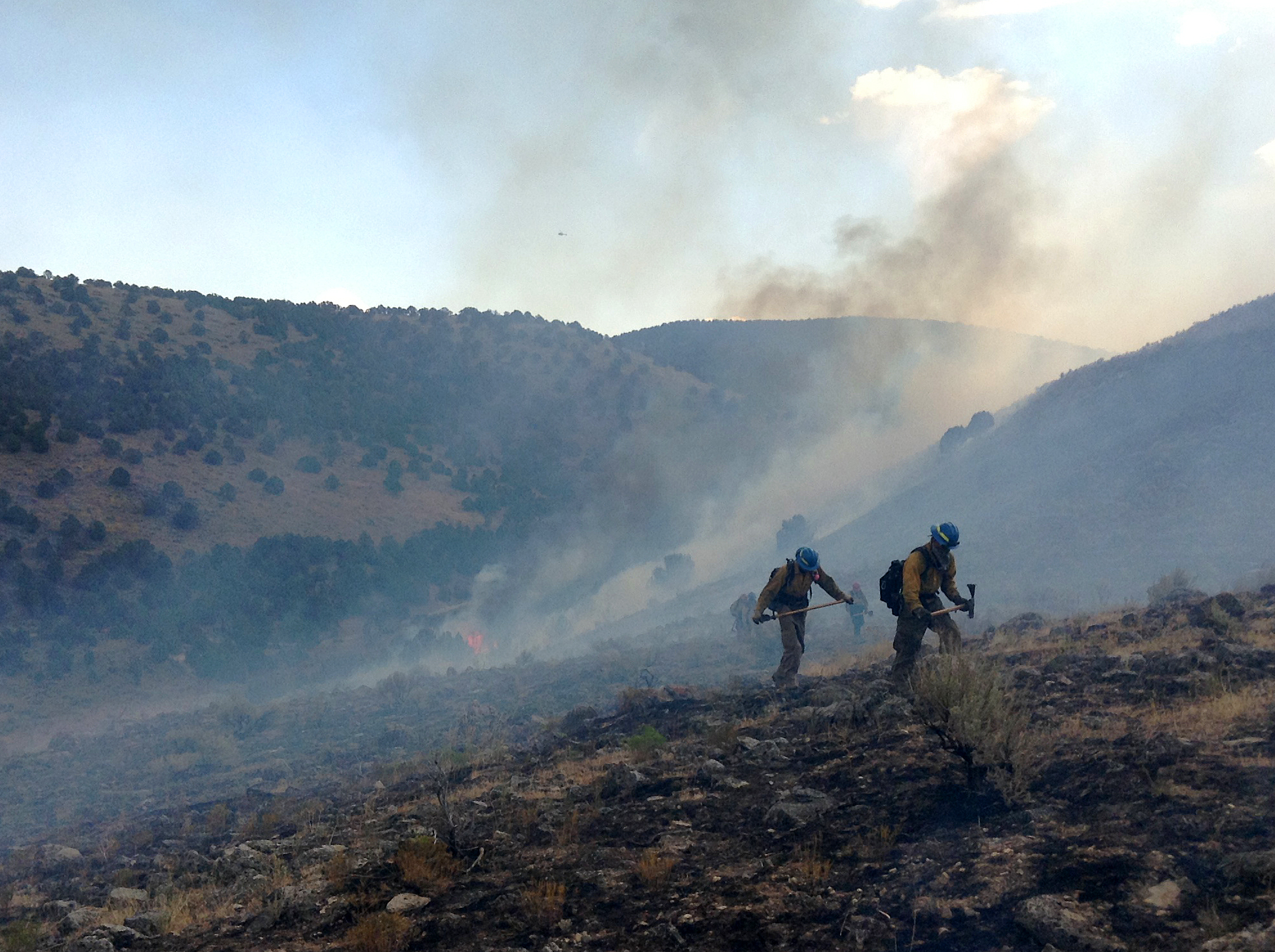
The State Fire
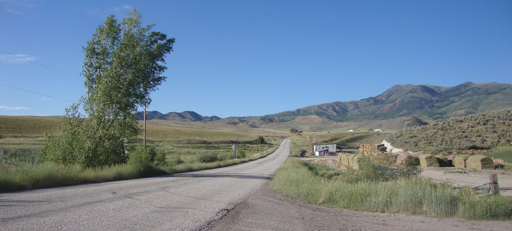
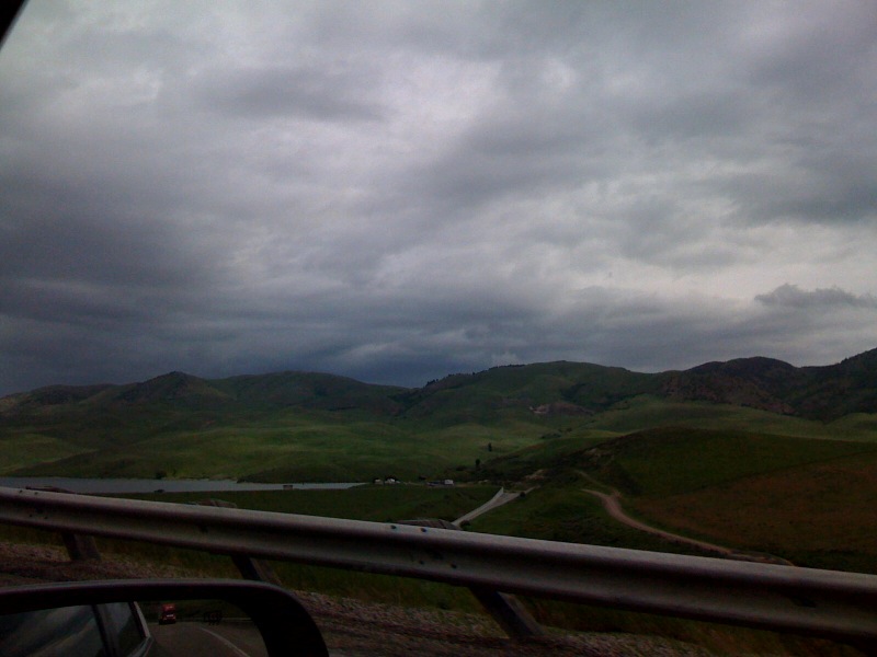
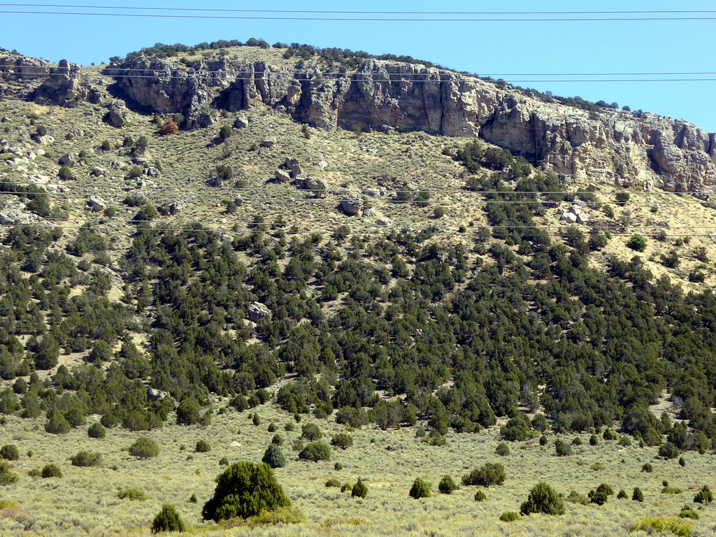
Southeastern Idaho Landscape (Oneida County, Idaho)
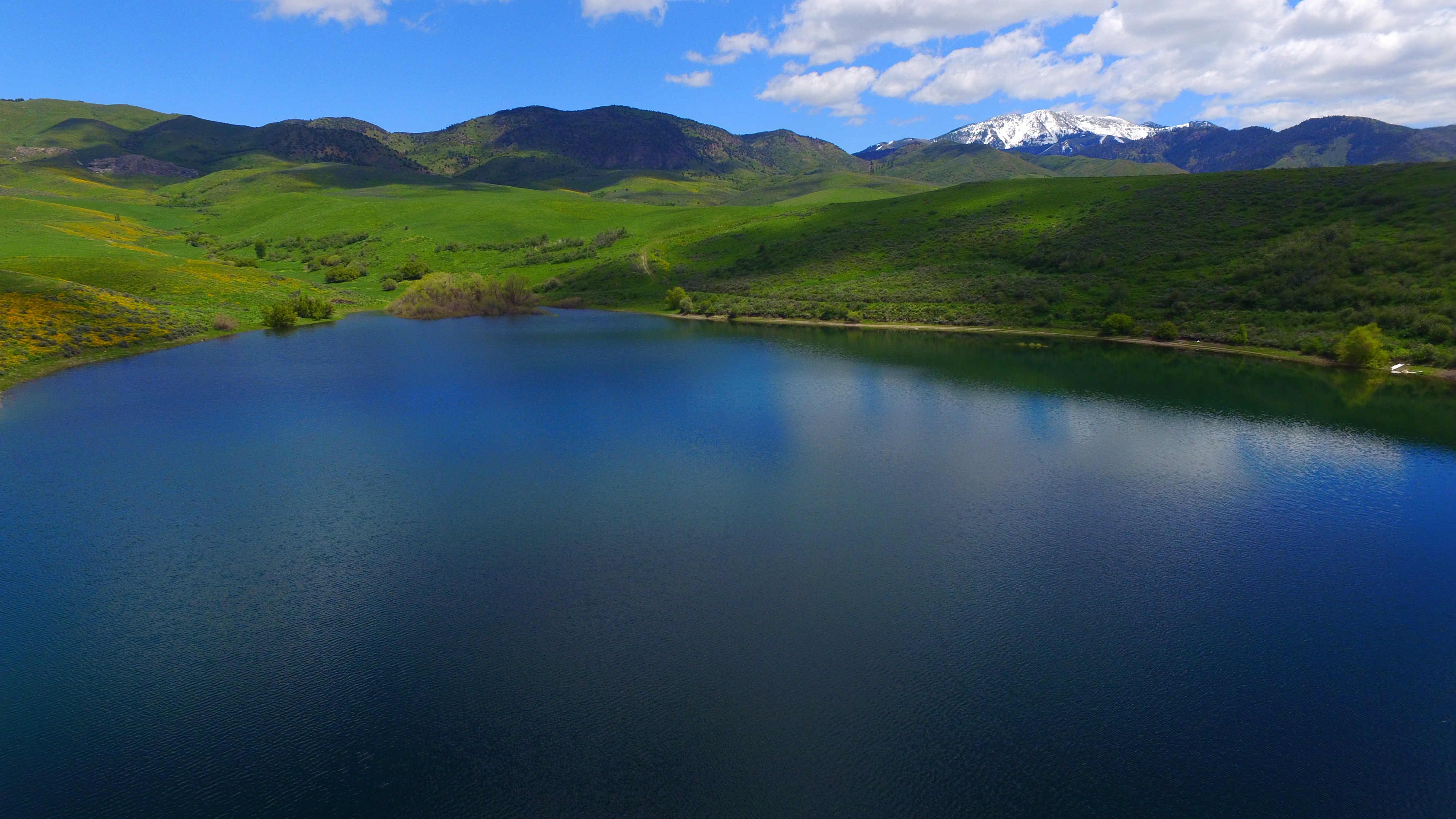
Devil's Creek Reservoir 1
Idaho is swell
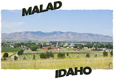
Malad, Idaho
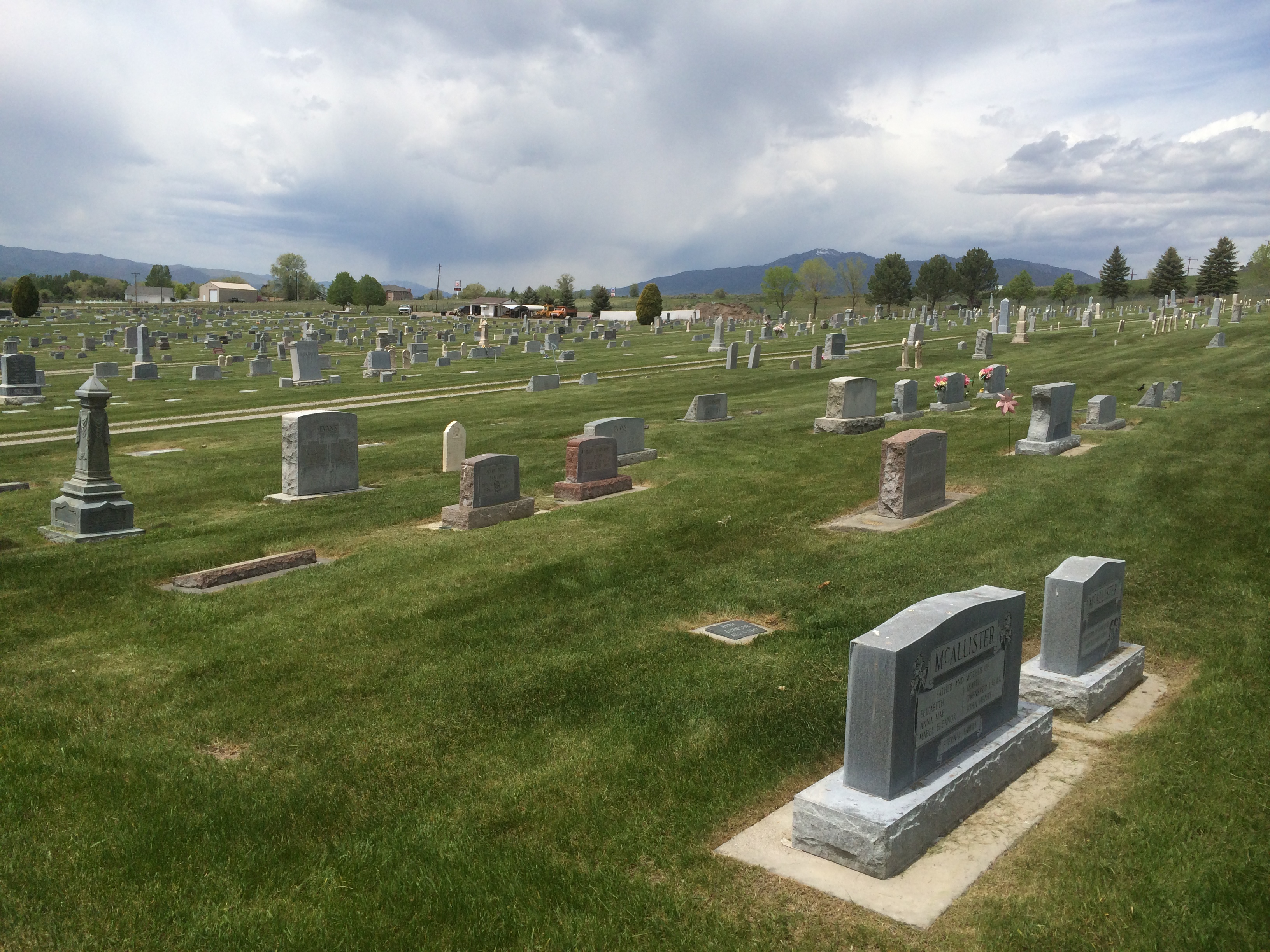
Malad, Idaho. Colen Sweeten is buried here.

USA 2011.
20 September 2015 Idaho (6)
20 September 2015 Idaho (5)
20 September 2015 Idaho (4)
20 September 2015 Idaho (9)
Topographic Map of Malad City, ID, USA
Find elevation by address:

Places in Malad City, ID, USA:
Places near Malad City, ID, USA:
333 N 400 W
333 N 400 W
525 5th N St
3930 E 5500 N
Devils Creek Reservoir
Butch Spring
Downey
Swan Lake Rd, Downey, ID, USA
U.s. 91
S Washington Ave, Downey, ID, USA
E Smith Canyon Rd, Downey, ID, USA
Arimo
Huggins Circle
W Glover Rd, Arimo, ID, USA
9065 Big Bear Rd
Bannock County
13489 N Johnson Rd
Pine Drive
Stock Valley
9066 S Robin Rd
Recent Searches:
- Elevation of Corso Fratelli Cairoli, 35, Macerata MC, Italy
- Elevation of Tallevast Rd, Sarasota, FL, USA
- Elevation of 4th St E, Sonoma, CA, USA
- Elevation of Black Hollow Rd, Pennsdale, PA, USA
- Elevation of Oakland Ave, Williamsport, PA, USA
- Elevation of Pedrógão Grande, Portugal
- Elevation of Klee Dr, Martinsburg, WV, USA
- Elevation of Via Roma, Pieranica CR, Italy
- Elevation of Tavkvetili Mountain, Georgia
- Elevation of Hartfords Bluff Cir, Mt Pleasant, SC, USA