Elevation of Mabel, ND, USA
Location: United States > North Dakota > Griggs County >
Longitude: -98.415827
Latitude: 47.3562419
Elevation: 447m / 1467feet
Barometric Pressure: 96KPa
Elevation Map:
Satellite Map:
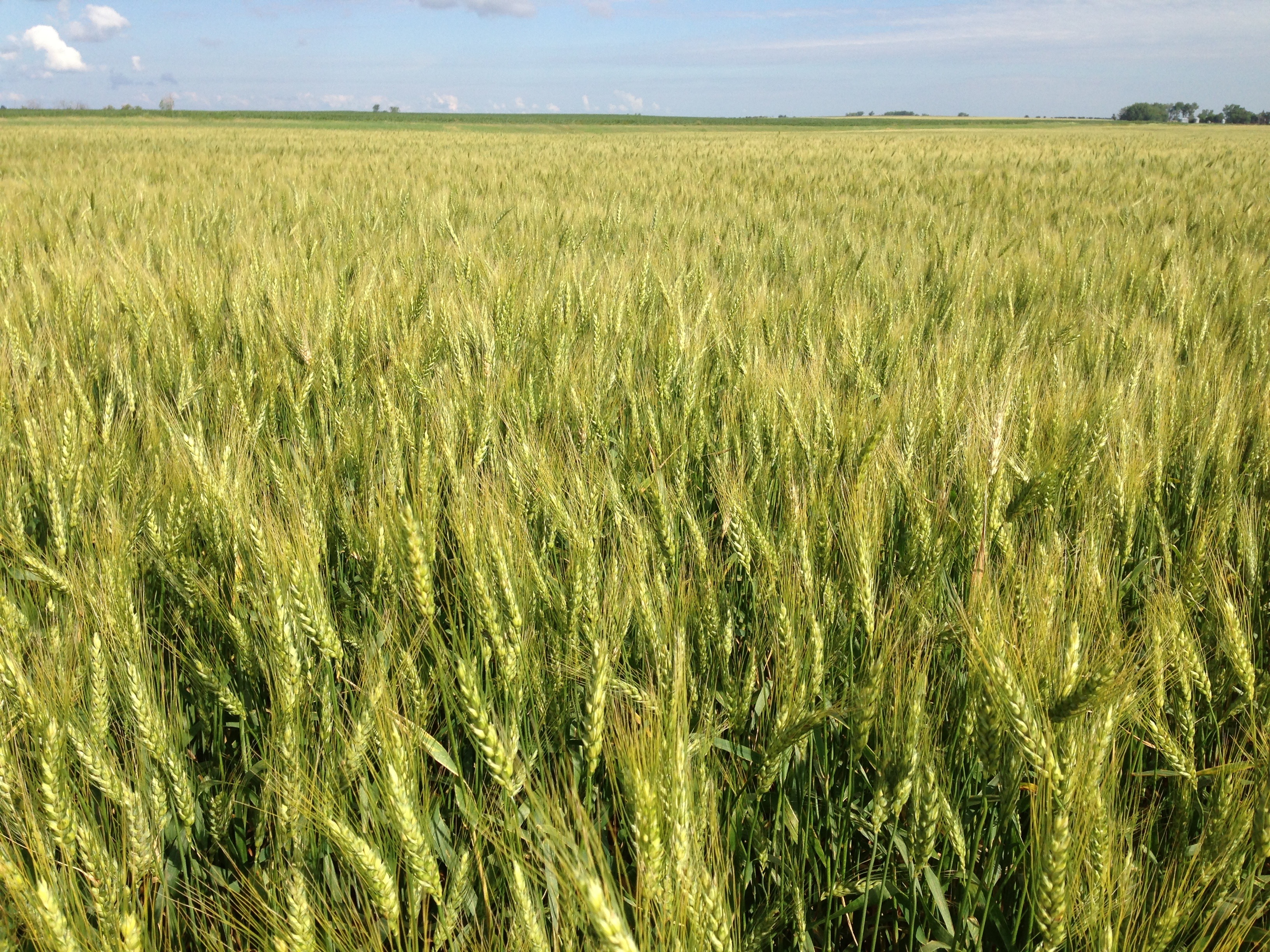
Related Photos:


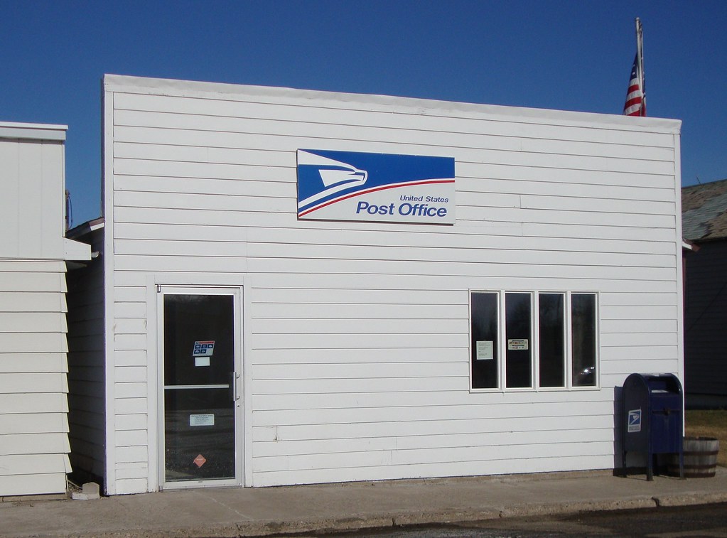
Post Office 58443 (Glenfield, North Dakota)
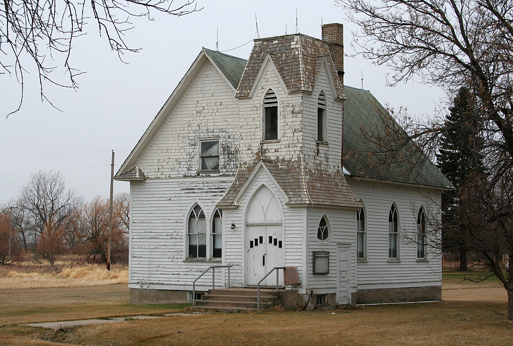
apr08-32
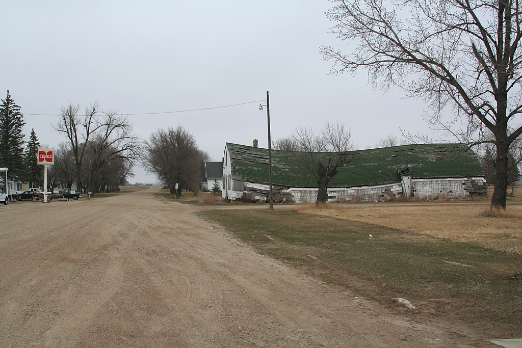
apr08-30

apr08-29
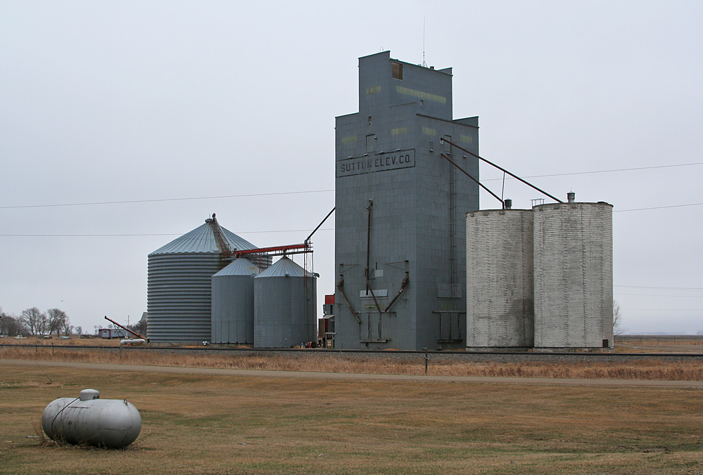
apr08-31
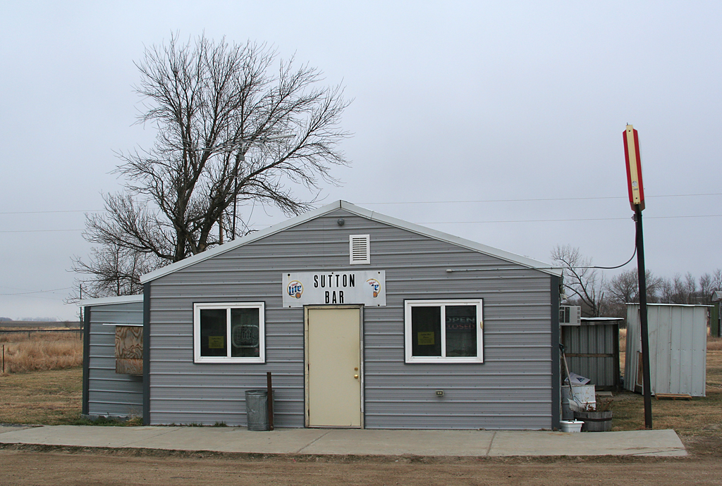
apr08-28
Topographic Map of Mabel, ND, USA
Find elevation by address:

Places in Mabel, ND, USA:
Places near Mabel, ND, USA:
Griggs County
Rogers
1st St, Rogers, ND, USA
Alstad Ave, Pekin, ND, USA
Barnes County
Valley City
250 Main St E
Marion
3815 Nd-32
Thordenskjold
52nd St SE, Kathryn, ND, USA
Mill Rd, Fort Ransom, ND, USA
Buffalo
Ayr
14005 34th St Se
Hatton
Clifford
60 Garfield Ave, Clifford, ND, USA
Buffalo
14008 40th St Se
Recent Searches:
- Elevation of Elwyn Dr, Roanoke Rapids, NC, USA
- Elevation of Congressional Dr, Stevensville, MD, USA
- Elevation of Bellview Rd, McLean, VA, USA
- Elevation of Stage Island Rd, Chatham, MA, USA
- Elevation of Shibuya Scramble Crossing, 21 Udagawacho, Shibuya City, Tokyo -, Japan
- Elevation of Jadagoniai, Kaunas District Municipality, Lithuania
- Elevation of Pagonija rock, Kranto 7-oji g. 8"N, Kaunas, Lithuania
- Elevation of Co Rd 87, Jamestown, CO, USA
- Elevation of Tenjo, Cundinamarca, Colombia
- Elevation of Côte-des-Neiges, Montreal, QC H4A 3J6, Canada