Elevation of Buffalo, ND, USA
Location: United States > North Dakota > Cass County >
Longitude: -97.489654
Latitude: 46.9499054
Elevation: 354m / 1161feet
Barometric Pressure: 97KPa
Elevation Map:
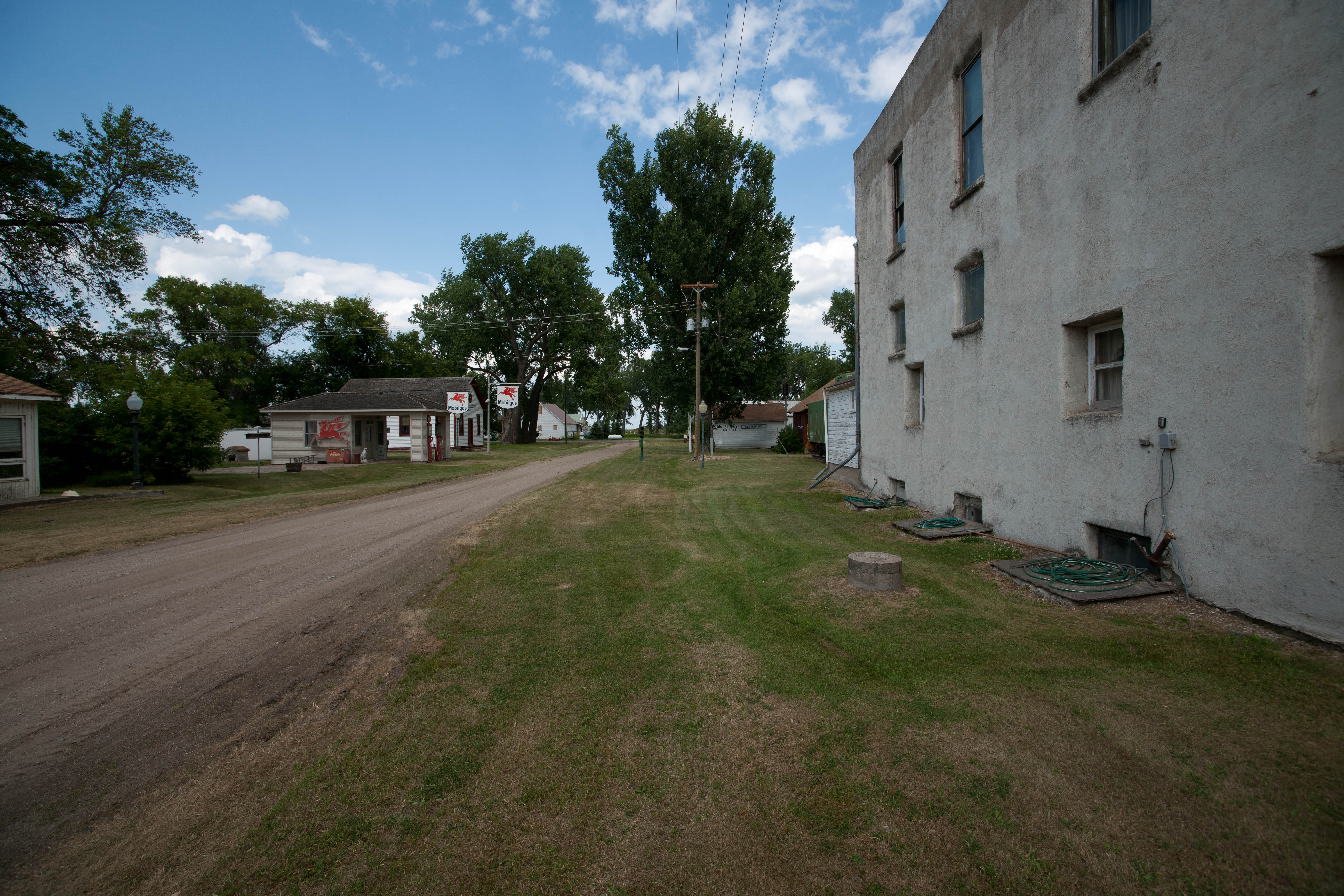
Satellite Map:
Related Photos:
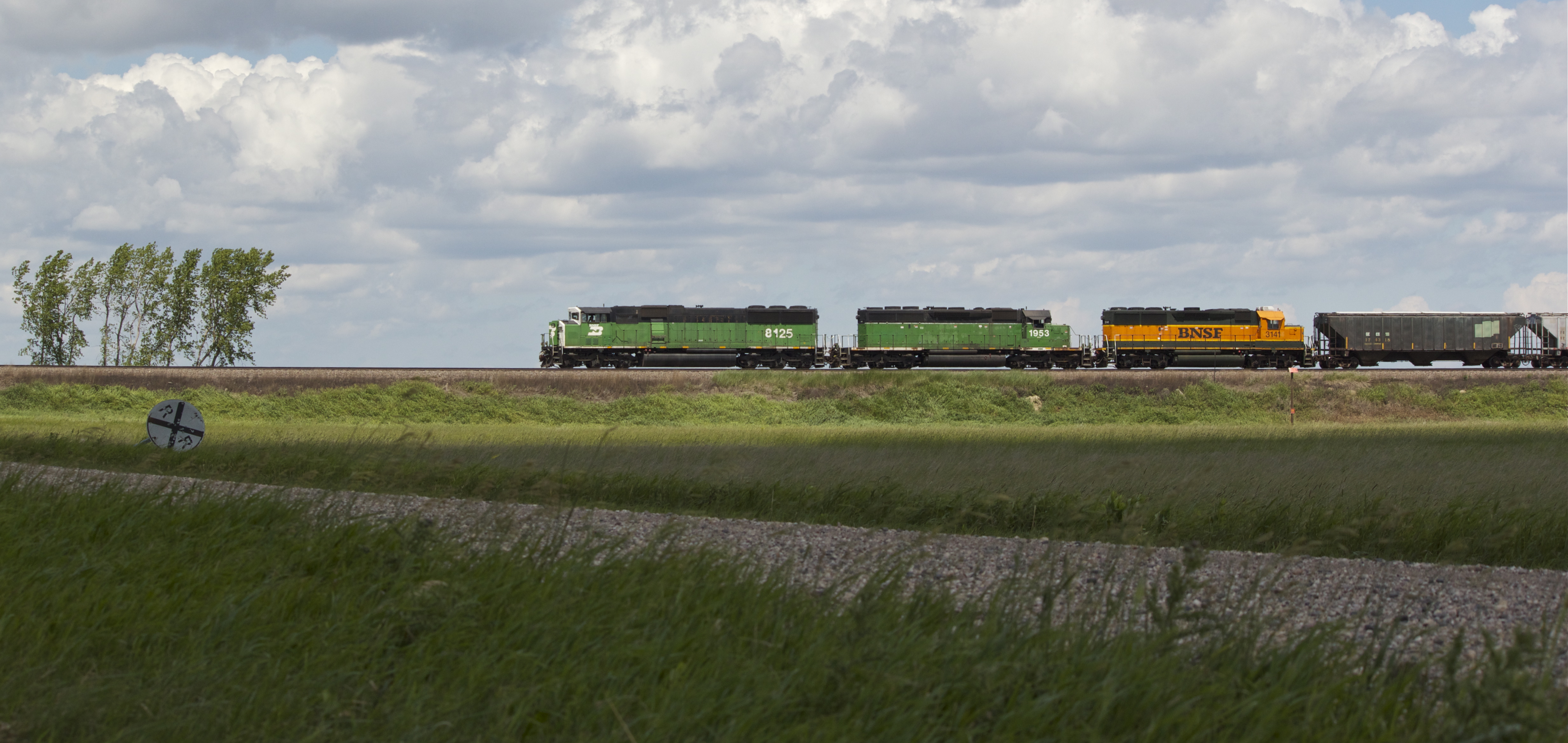
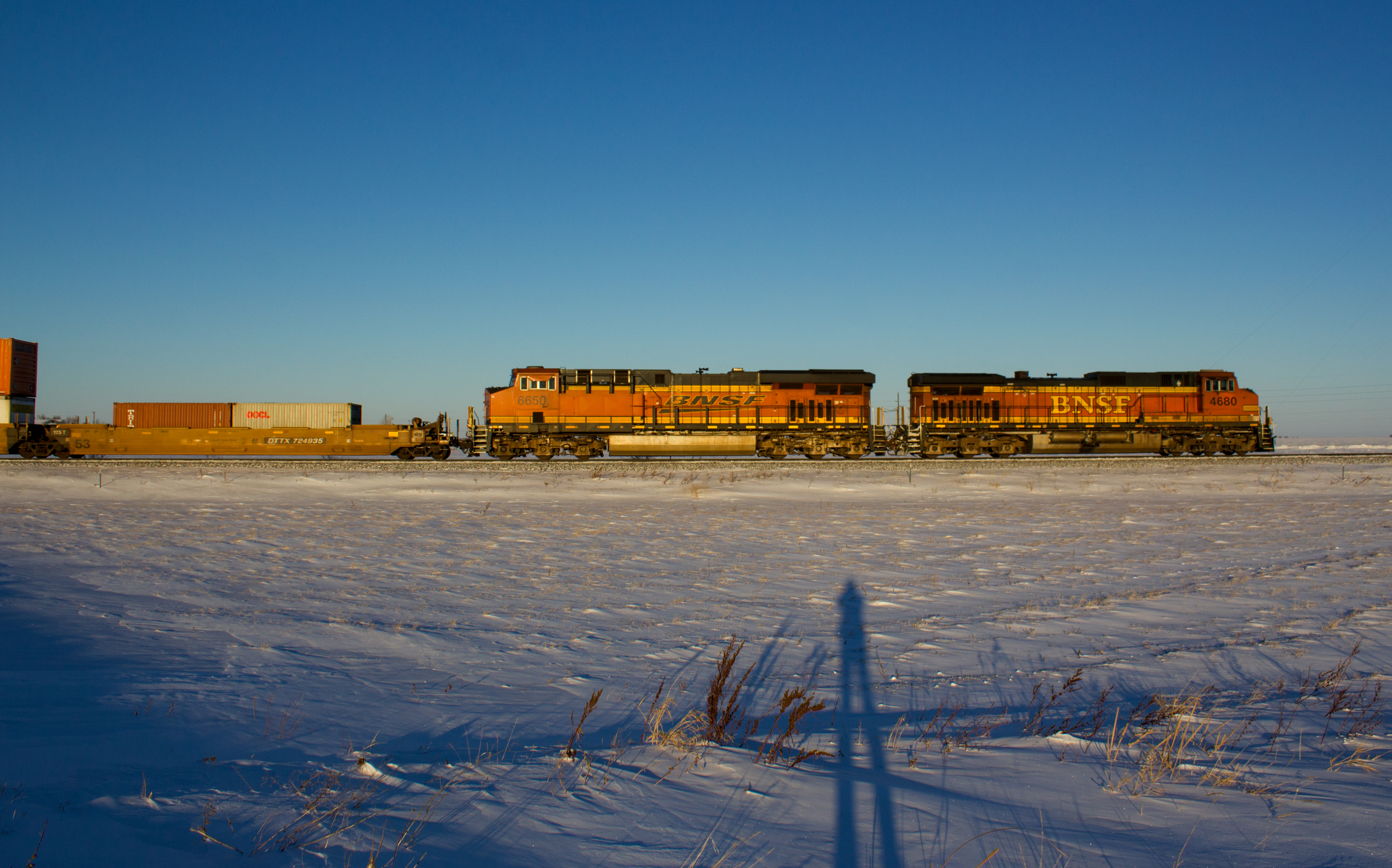
BNSF 8125

Barn by the highway
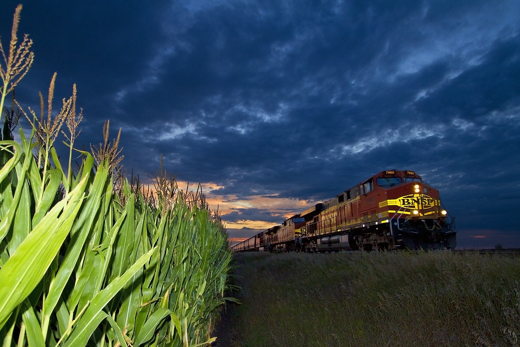
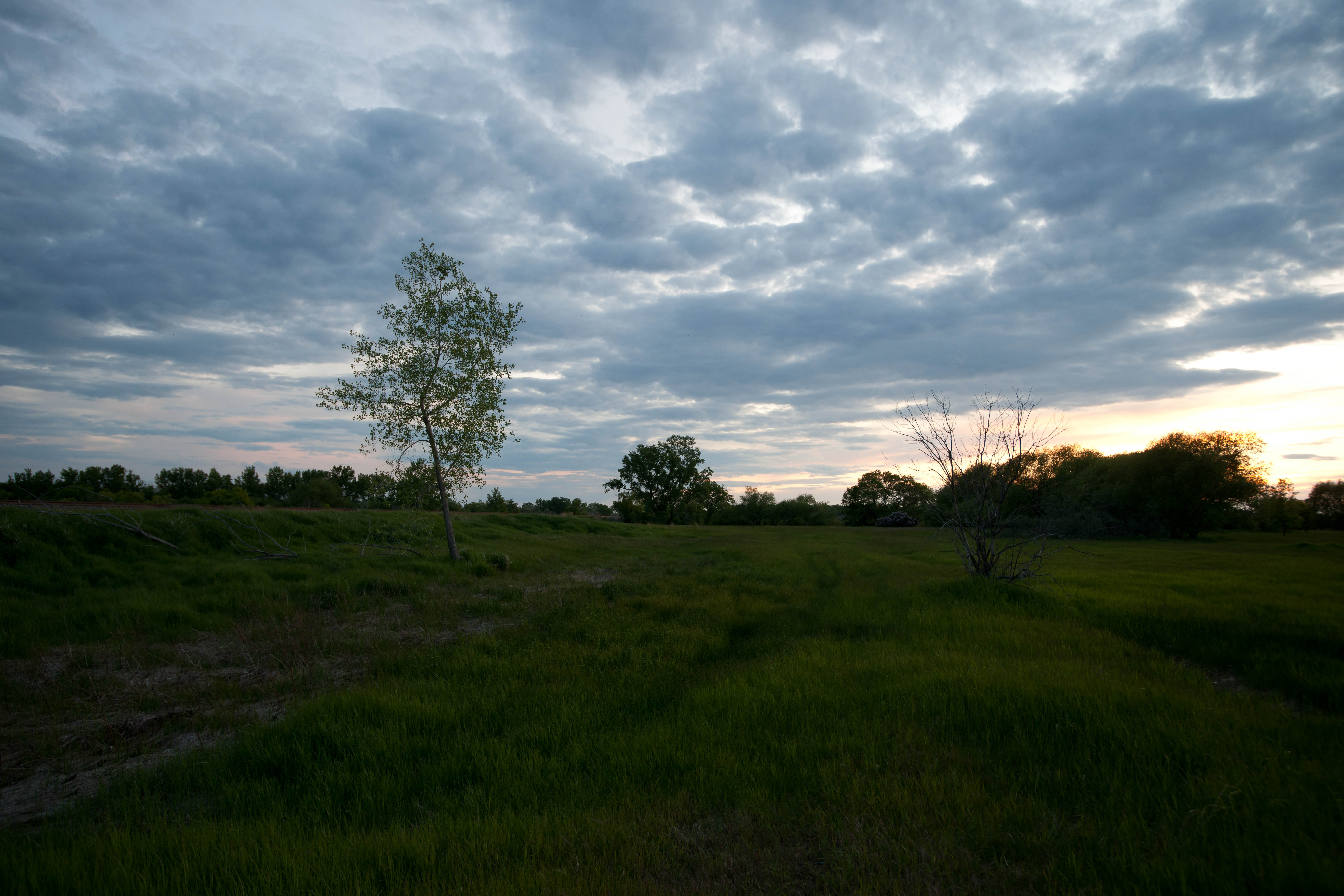
Dakota Sunset

Road Trip 2012 - 0309
Missing our weekend meet-up with Trucker Hubby! It was a beautiful road trip!!!
Magnolia, North Dakota
BNSF 4860

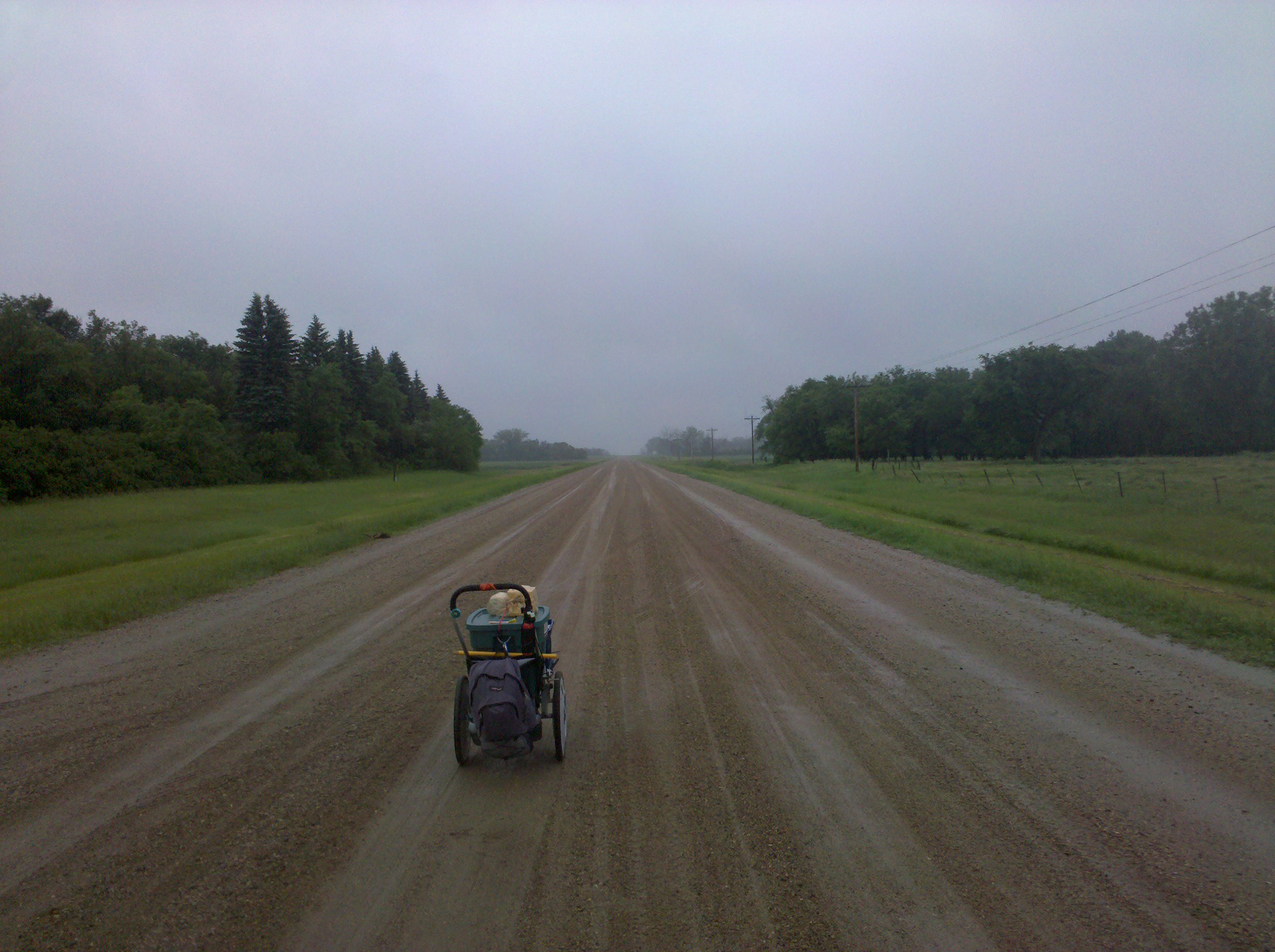
Road Trip 2012 - 0311
But this one was
Magnolia, North Dakota
Magnolia, North Dakota
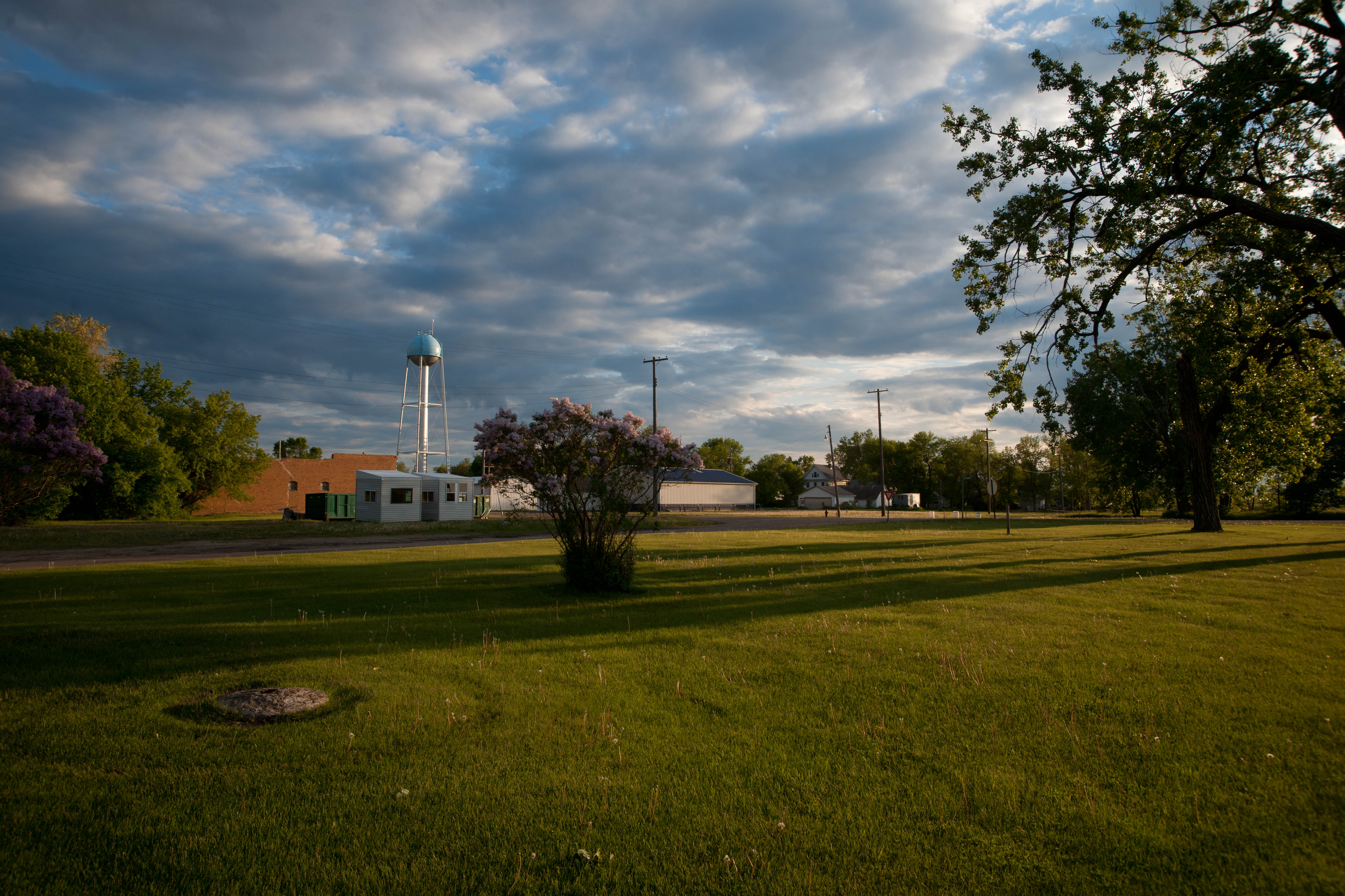
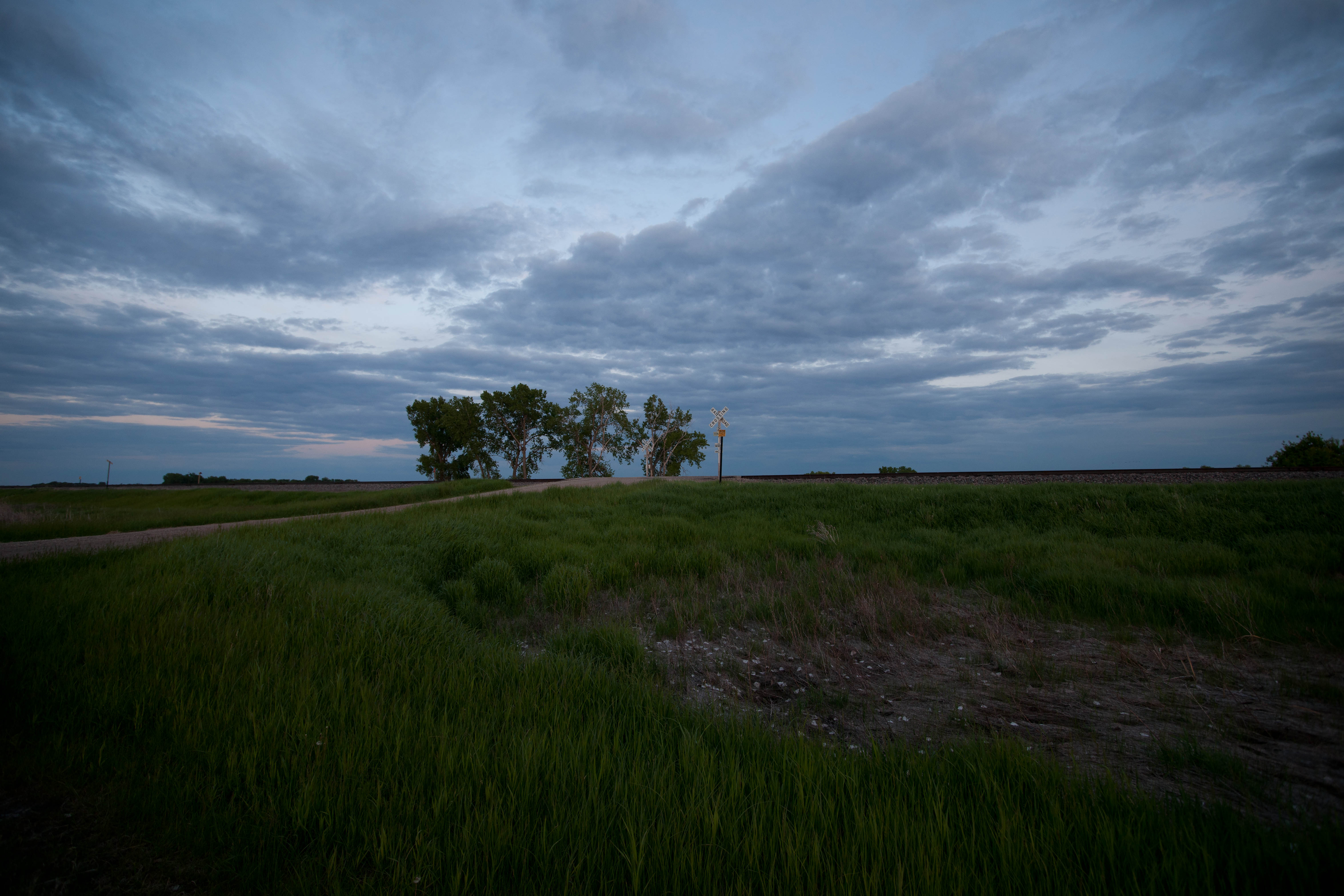
Tower City, North Dakota

This is what passes for a historical plaque in North Dakota
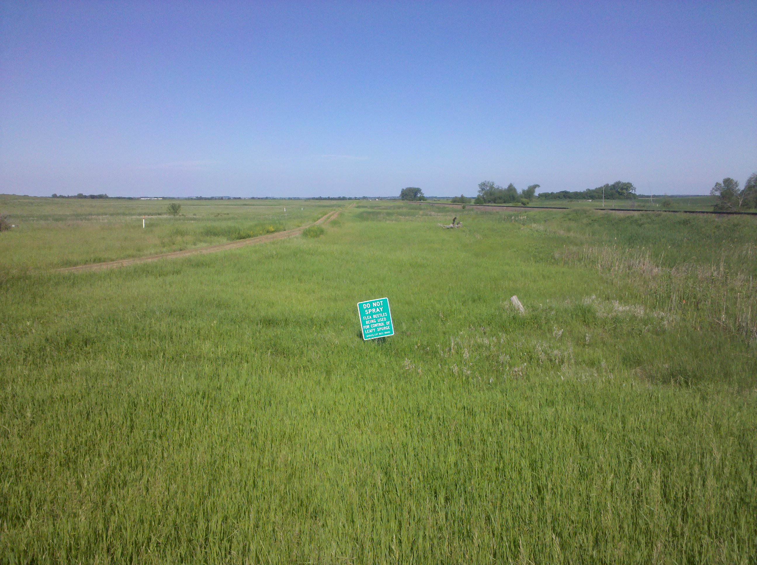
Pest control, in two senses of the term
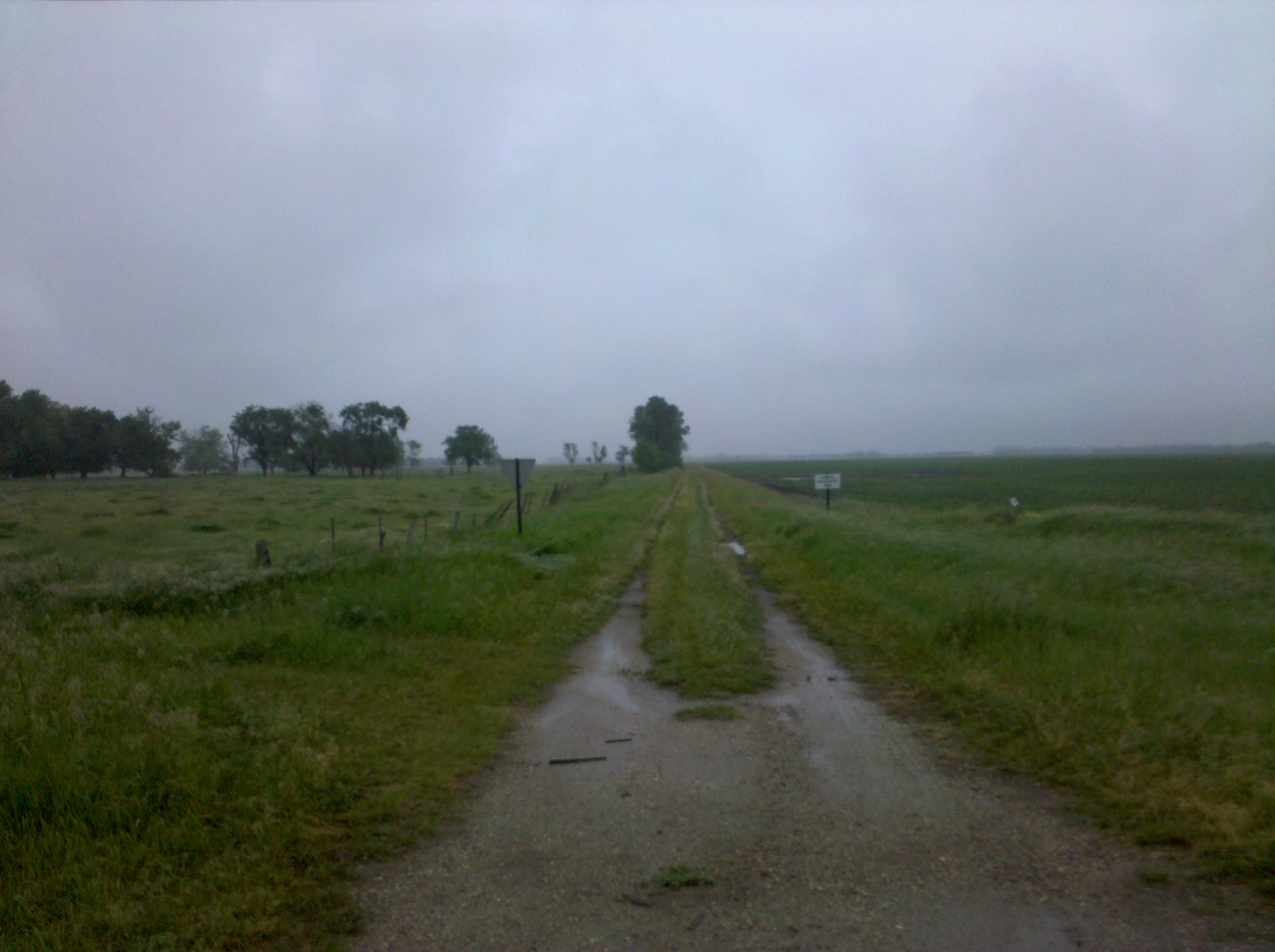
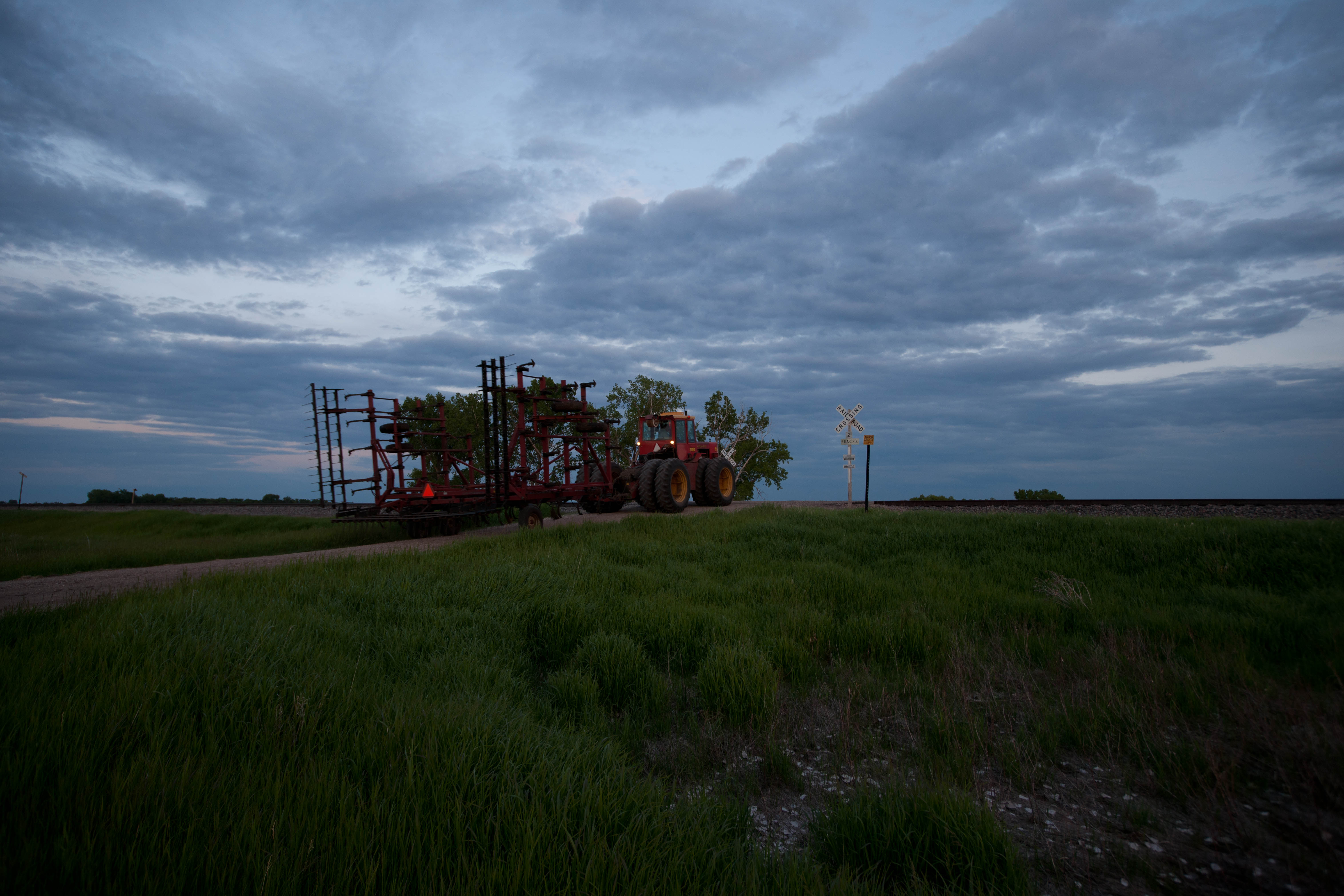
This road was not on my route
Magnolia, North Dakota
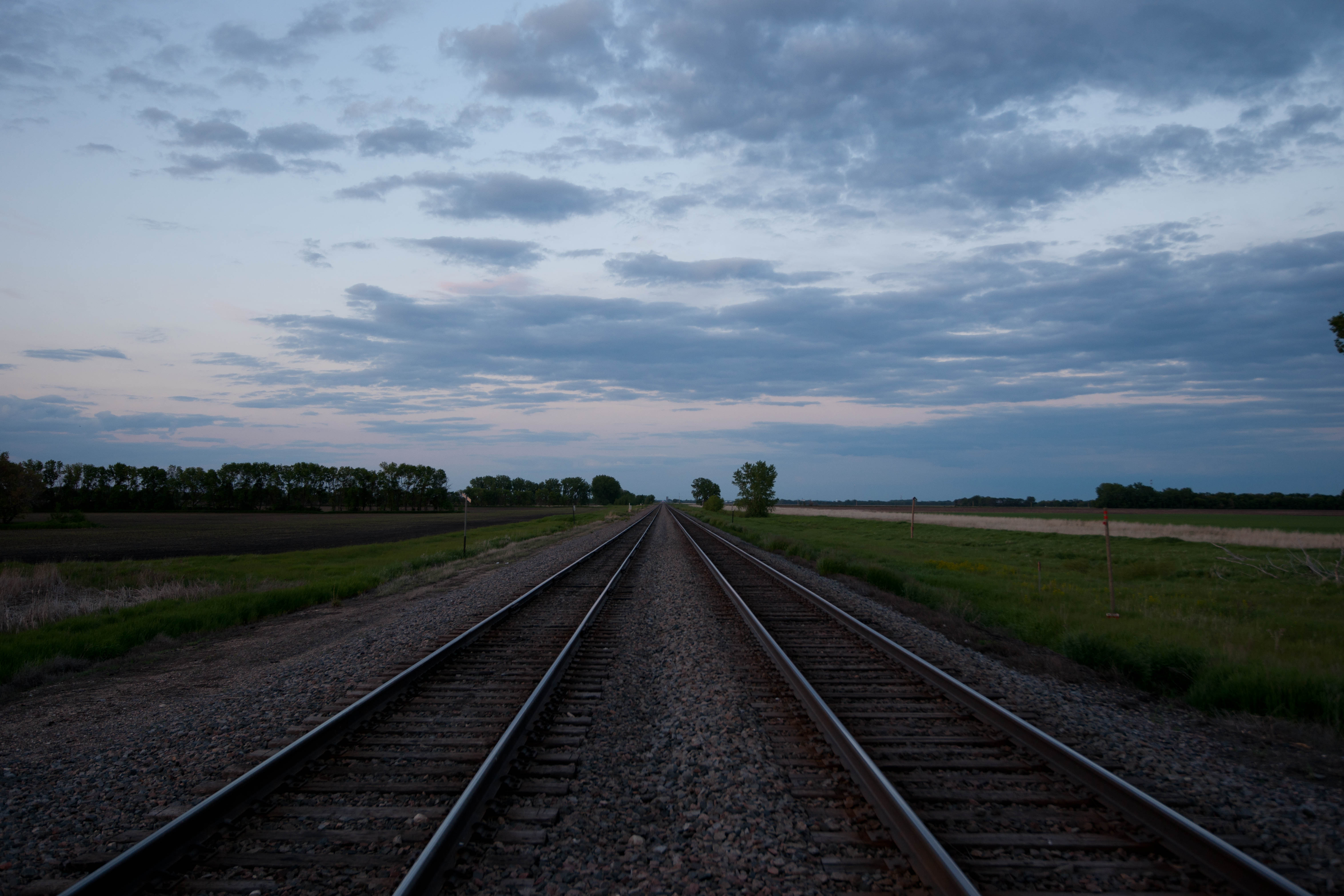
Absaraka, North Dakota
Topographic Map of Buffalo, ND, USA
Find elevation by address:

Places in Buffalo, ND, USA:
Places near Buffalo, ND, USA:
3510 142nd Ave Se
14005 34th St Se
Buffalo
Ayr
14578 26th St Se
14008 40th St Se
Empire
Erie
Erie
Main Ave, Erie, ND, USA
Casselton
32nd St SE, Wheatland, ND, USA
th Ave SE, Wheatland, ND, USA
Amenia
Everest
Casselton
Casselton
907 Governor's Dr
4159 154th Ave Se
3766 156th Ave Se
Recent Searches:
- Elevation of Zu den Ihlowbergen, Althüttendorf, Germany
- Elevation of Badaber, Peshawar, Khyber Pakhtunkhwa, Pakistan
- Elevation of SE Heron Loop, Lincoln City, OR, USA
- Elevation of Slanický ostrov, 01 Námestovo, Slovakia
- Elevation of Spaceport America, Co Rd A, Truth or Consequences, NM, USA
- Elevation of Warwick, RI, USA
- Elevation of Fern Rd, Whitmore, CA, USA
- Elevation of 62 Abbey St, Marshfield, MA, USA
- Elevation of Fernwood, Bradenton, FL, USA
- Elevation of Felindre, Swansea SA5 7LU, UK