Elevation of 26th St SE, Ayr, ND, USA
Location: United States > North Dakota > Cass County > Empire >
Longitude: -97.414790
Latitude: 47.032309
Elevation: 343m / 1125feet
Barometric Pressure: 97KPa
Elevation Map:
Satellite Map:
Related Photos:
Magnolia, North Dakota
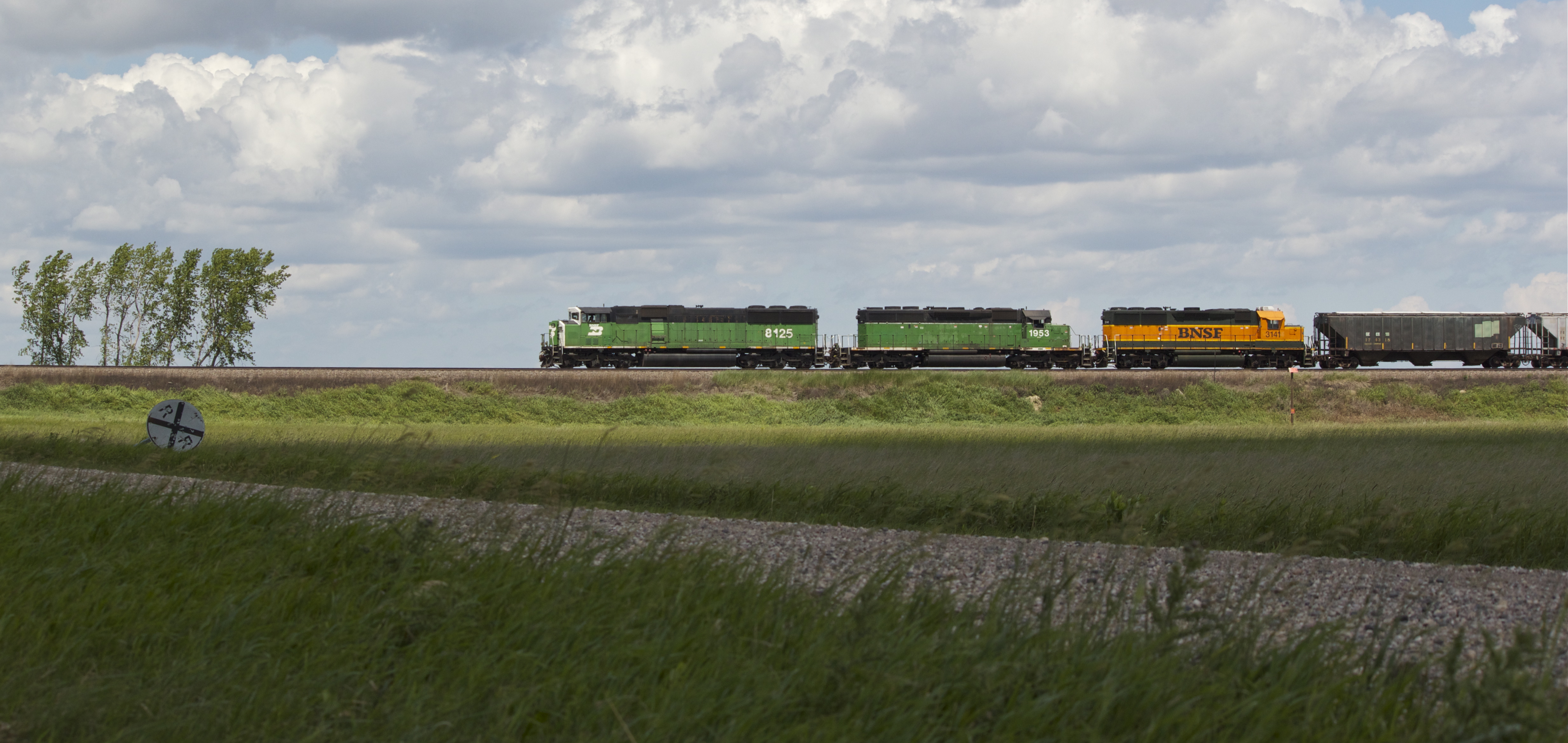
BNSF 8125
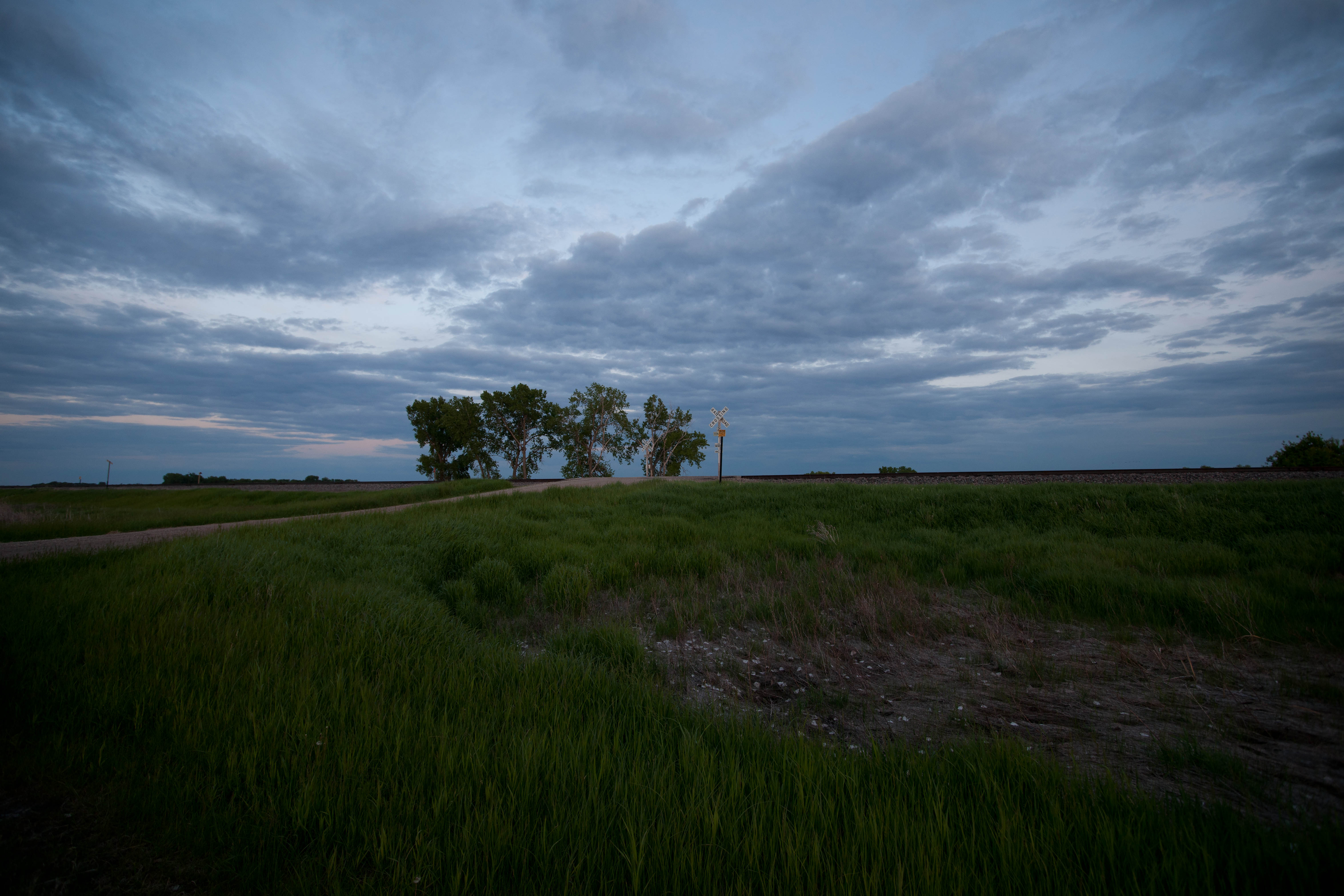
Magnolia, North Dakota
Magnolia, North Dakota
But this one was
This road was not on my route

Nolan, North Dakota

Barn by the highway
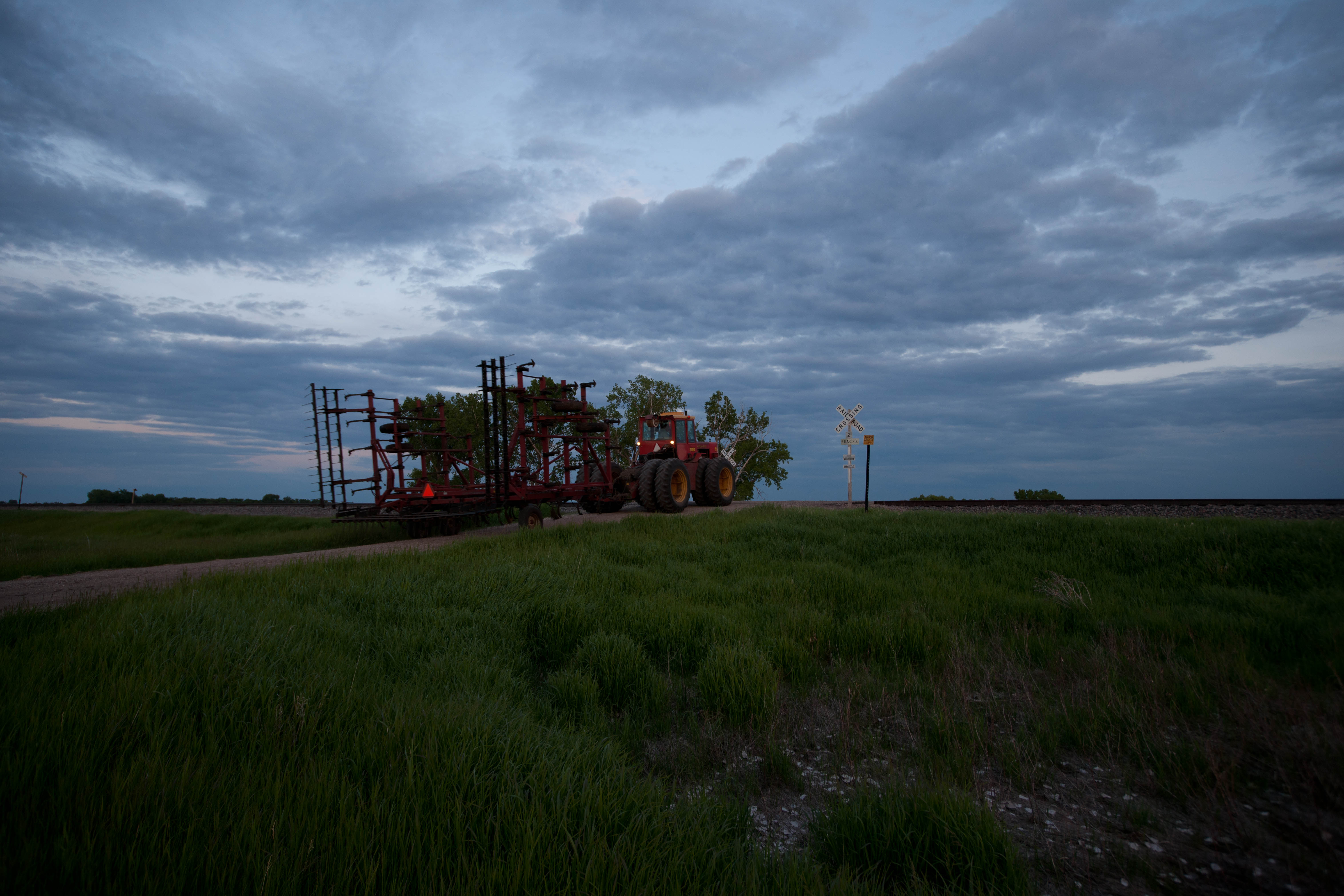
Magnolia, North Dakota

BN Trio

BNSF 1690

BNSF 1787

Reday family Nyc
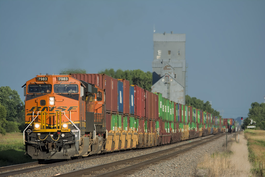
BNSF 7983

NS 1071 JC
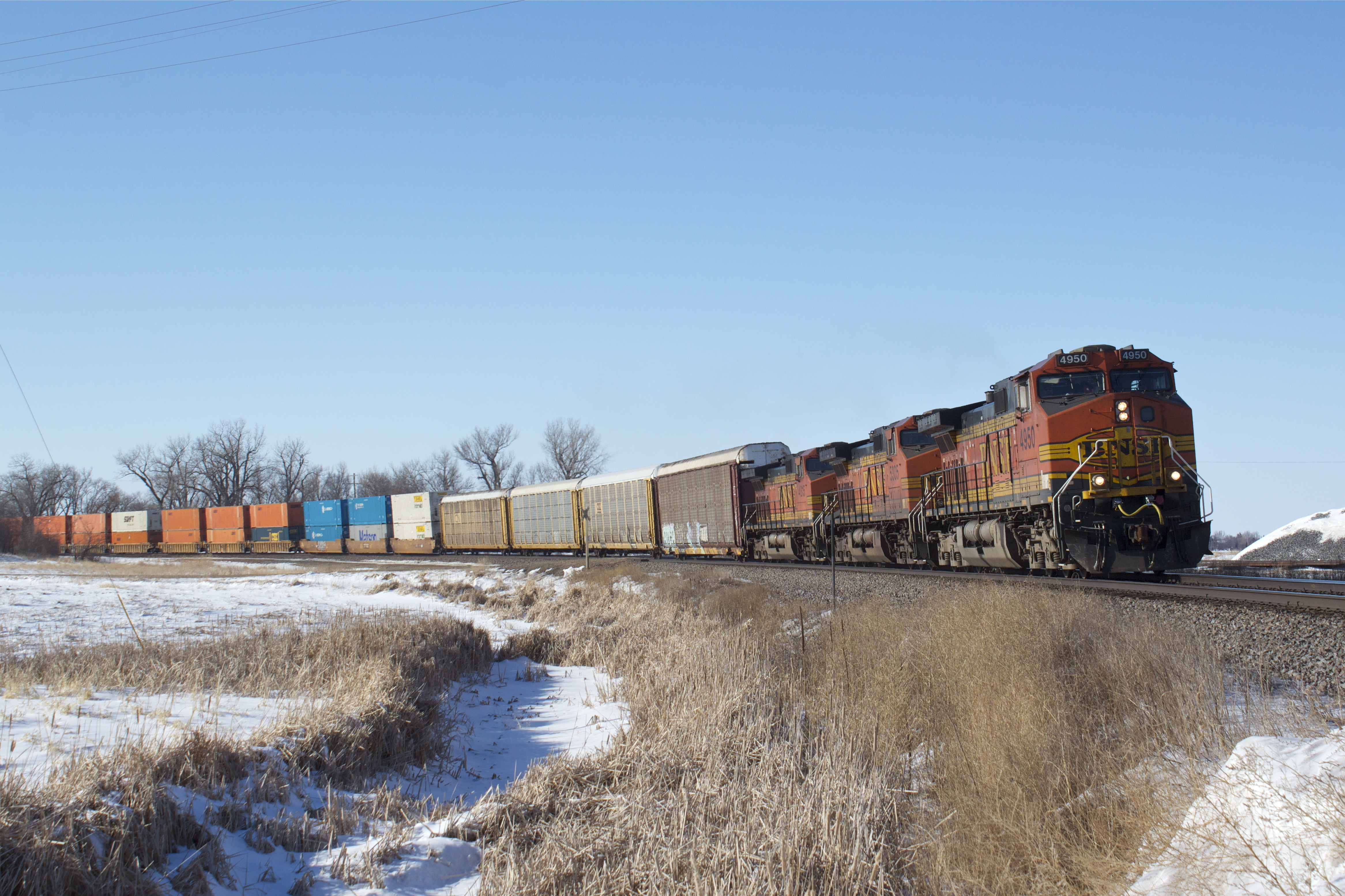
BNSF 4950
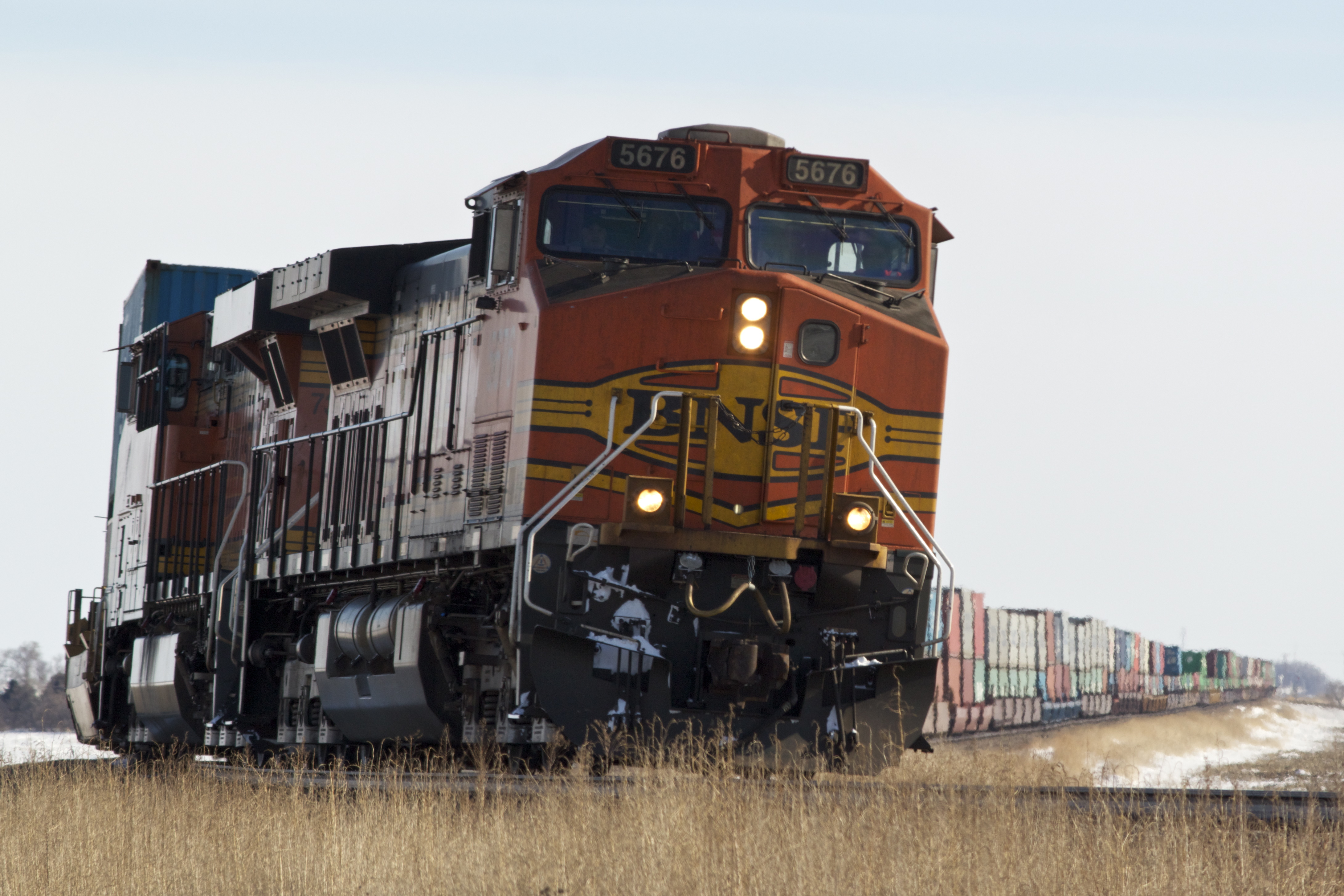
BNSF 5676

BNSF 5304
Wheatland, North Dakota
Wheatland, North Dakota
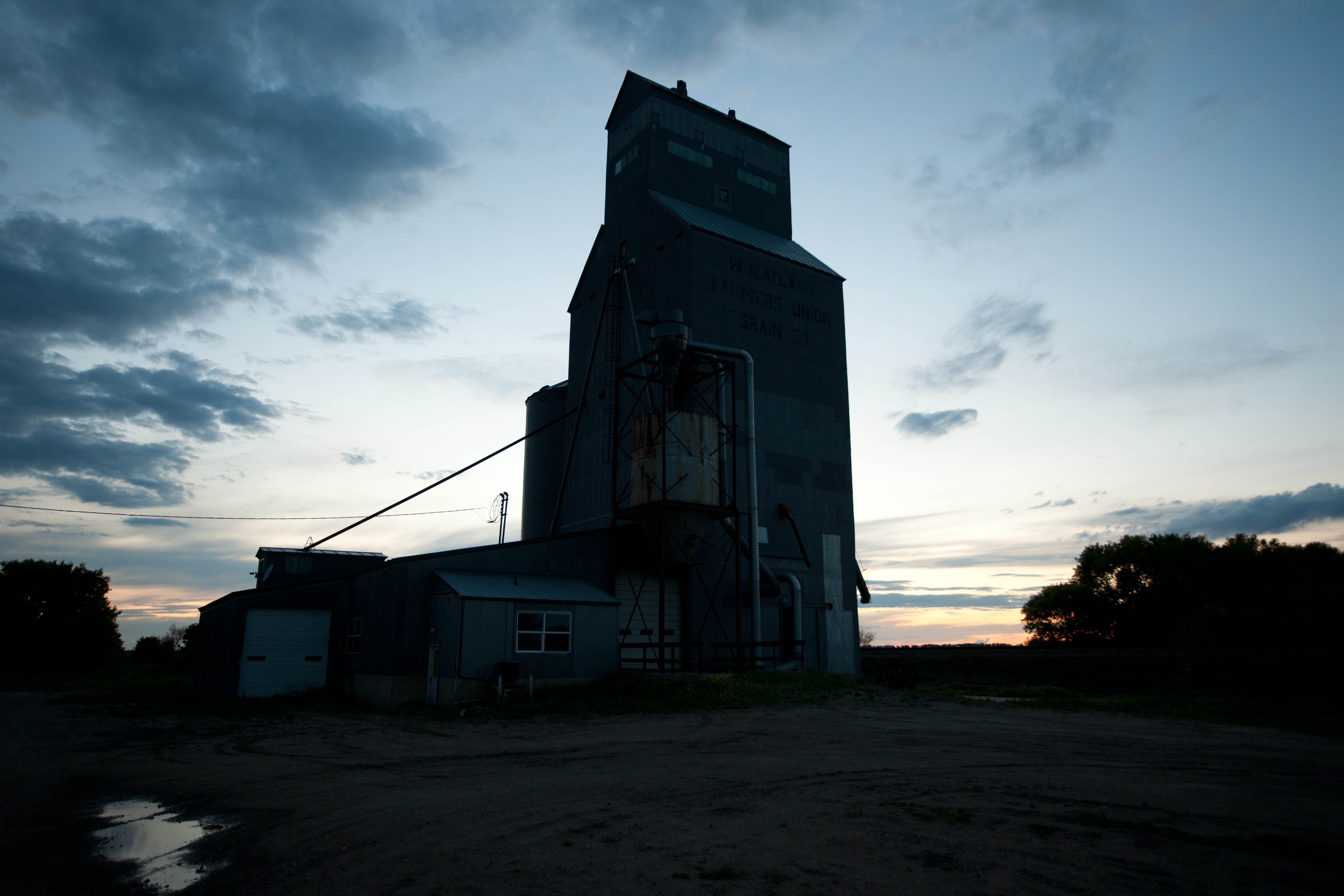
Wheatland, North Dakota
Magnolia, North Dakota

Magnolia, North Dakota
Topographic Map of 26th St SE, Ayr, ND, USA
Find elevation by address:

Places near 26th St SE, Ayr, ND, USA:
Empire
Ayr
Erie
Erie
Main Ave, Erie, ND, USA
Buffalo
3510 142nd Ave Se
14005 34th St Se
Buffalo
Amenia
Casselton
32nd St SE, Wheatland, ND, USA
th Ave SE, Wheatland, ND, USA
14008 40th St Se
Casselton
Casselton
907 Governor's Dr
Everest
3766 156th Ave Se
3766 156th Ave Se
Recent Searches:
- Elevation of 62 Abbey St, Marshfield, MA, USA
- Elevation of Fernwood, Bradenton, FL, USA
- Elevation of Felindre, Swansea SA5 7LU, UK
- Elevation of Leyte Industrial Development Estate, Isabel, Leyte, Philippines
- Elevation of W Granada St, Tampa, FL, USA
- Elevation of Pykes Down, Ivybridge PL21 0BY, UK
- Elevation of Jalan Senandin, Lutong, Miri, Sarawak, Malaysia
- Elevation of Bilohirs'k
- Elevation of 30 Oak Lawn Dr, Barkhamsted, CT, USA
- Elevation of Luther Road, Luther Rd, Auburn, CA, USA