Elevation of Buffalo, ND, USA
Location: United States > North Dakota > Cass County > Buffalo >
Longitude: -97.549538
Latitude: 46.9196985
Elevation: 368m / 1207feet
Barometric Pressure: 97KPa
Elevation Map:
Satellite Map:
Related Photos:
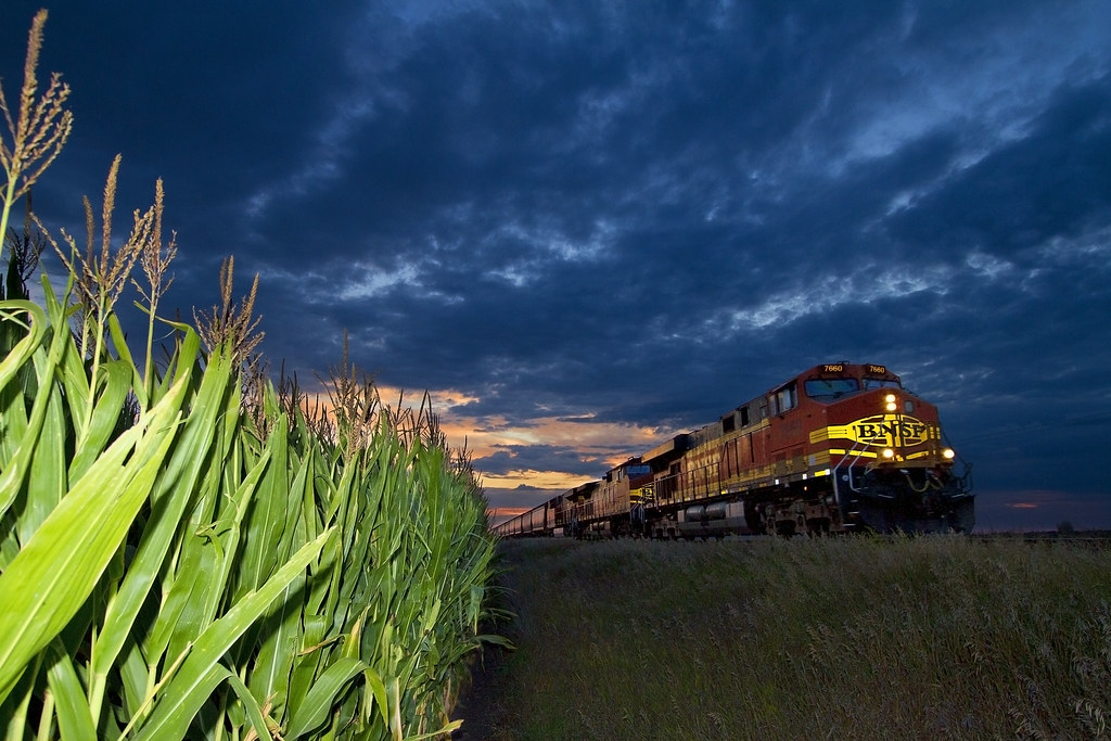
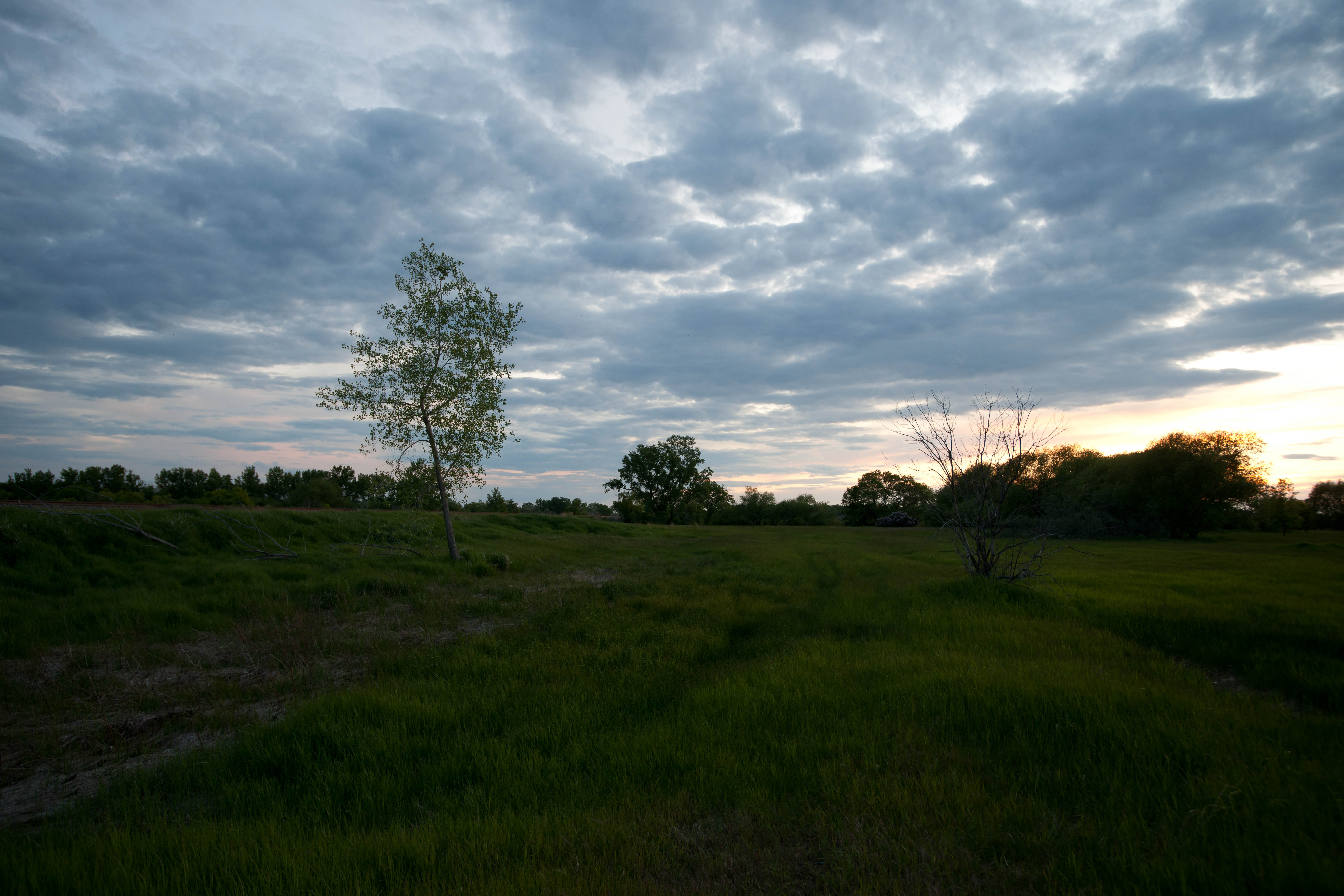
Dakota Sunset
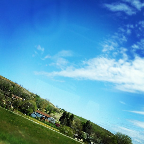
Missing our weekend meet-up with Trucker Hubby! It was a beautiful road trip!!!
Magnolia, North Dakota
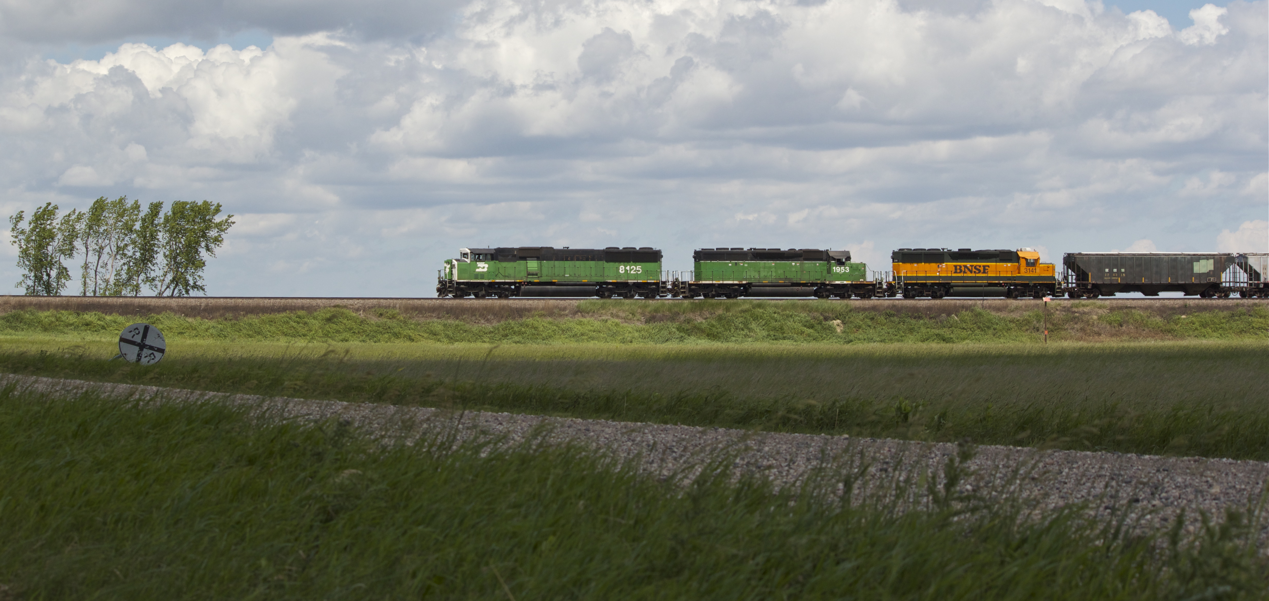
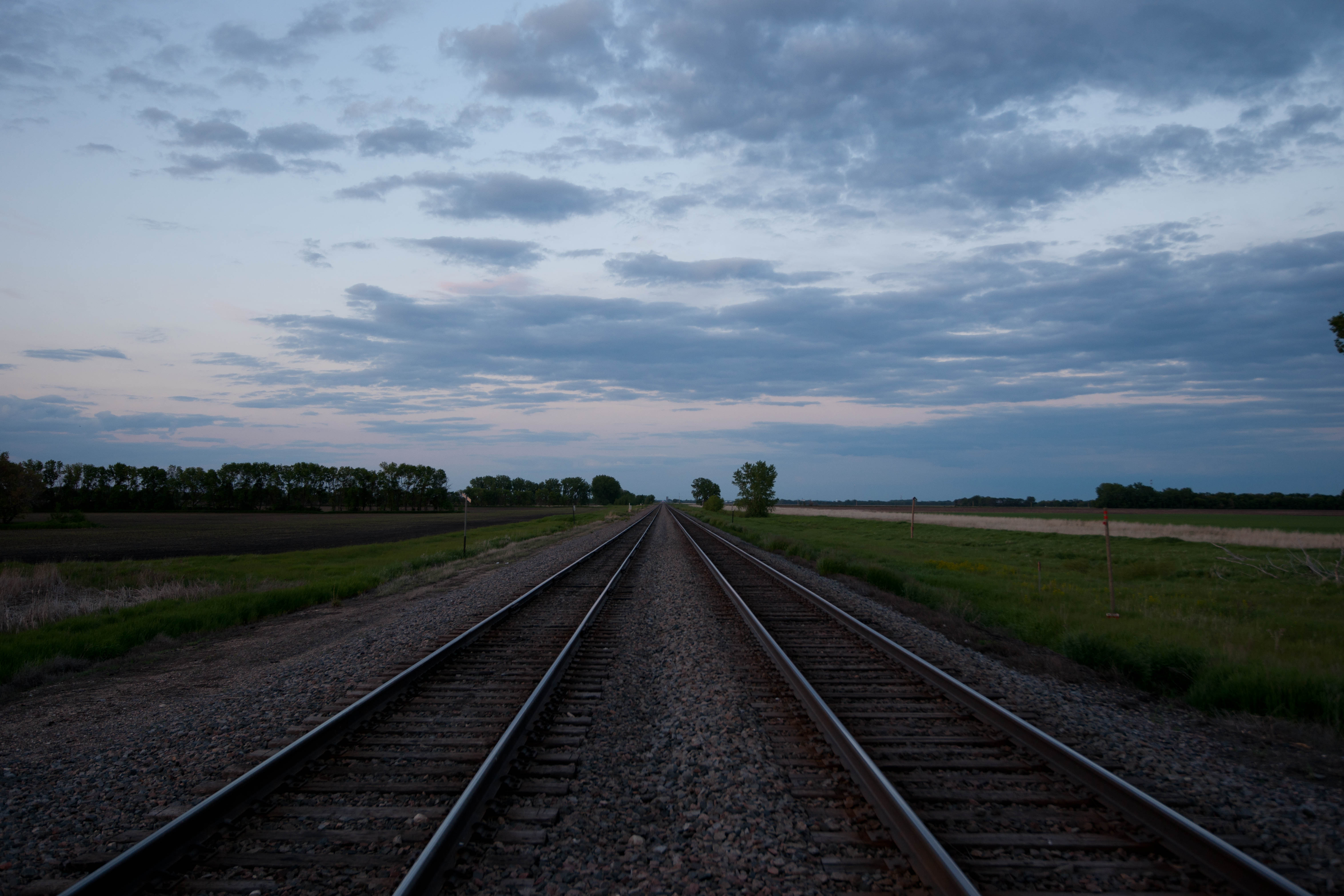
BNSF 8125
But this one was
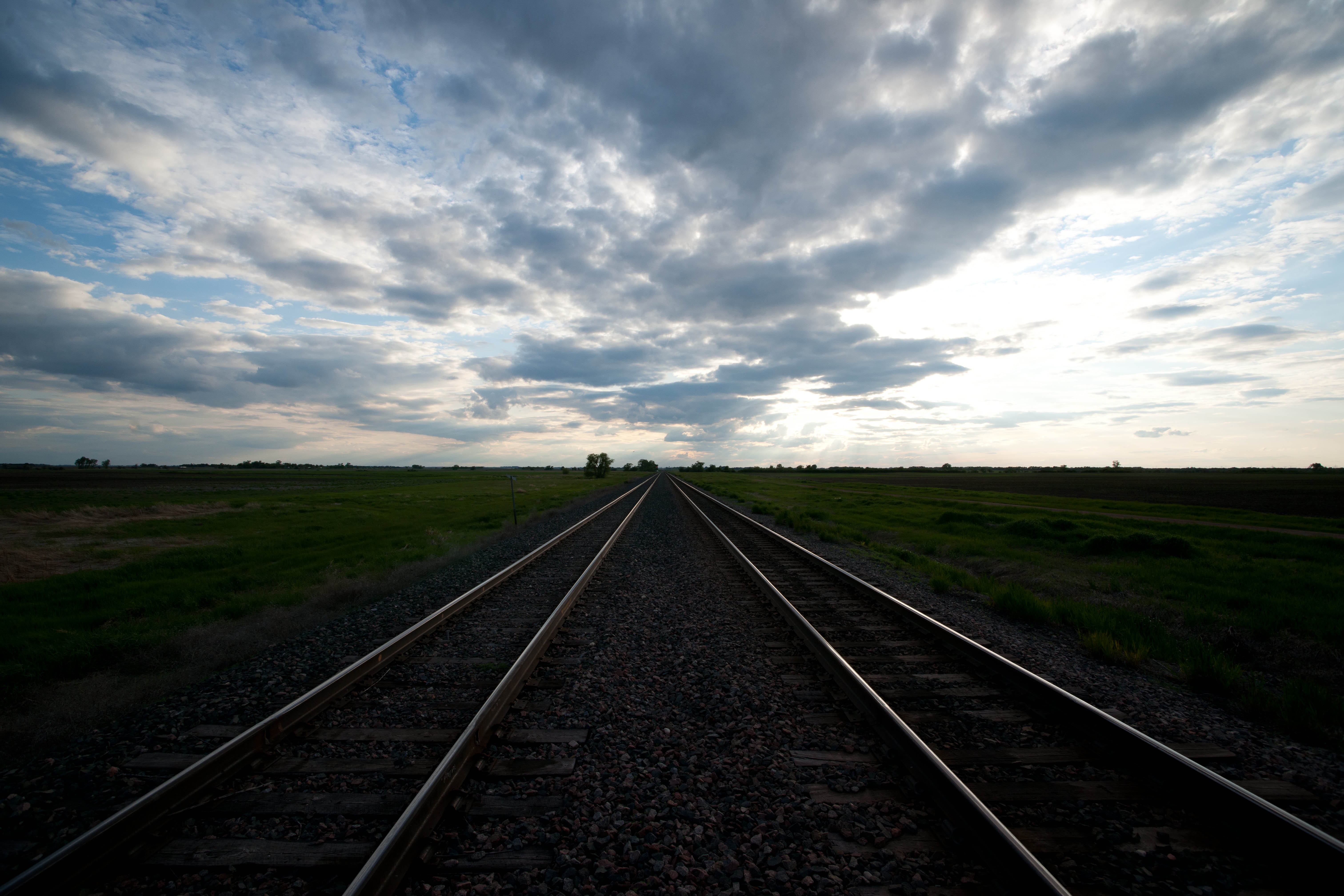
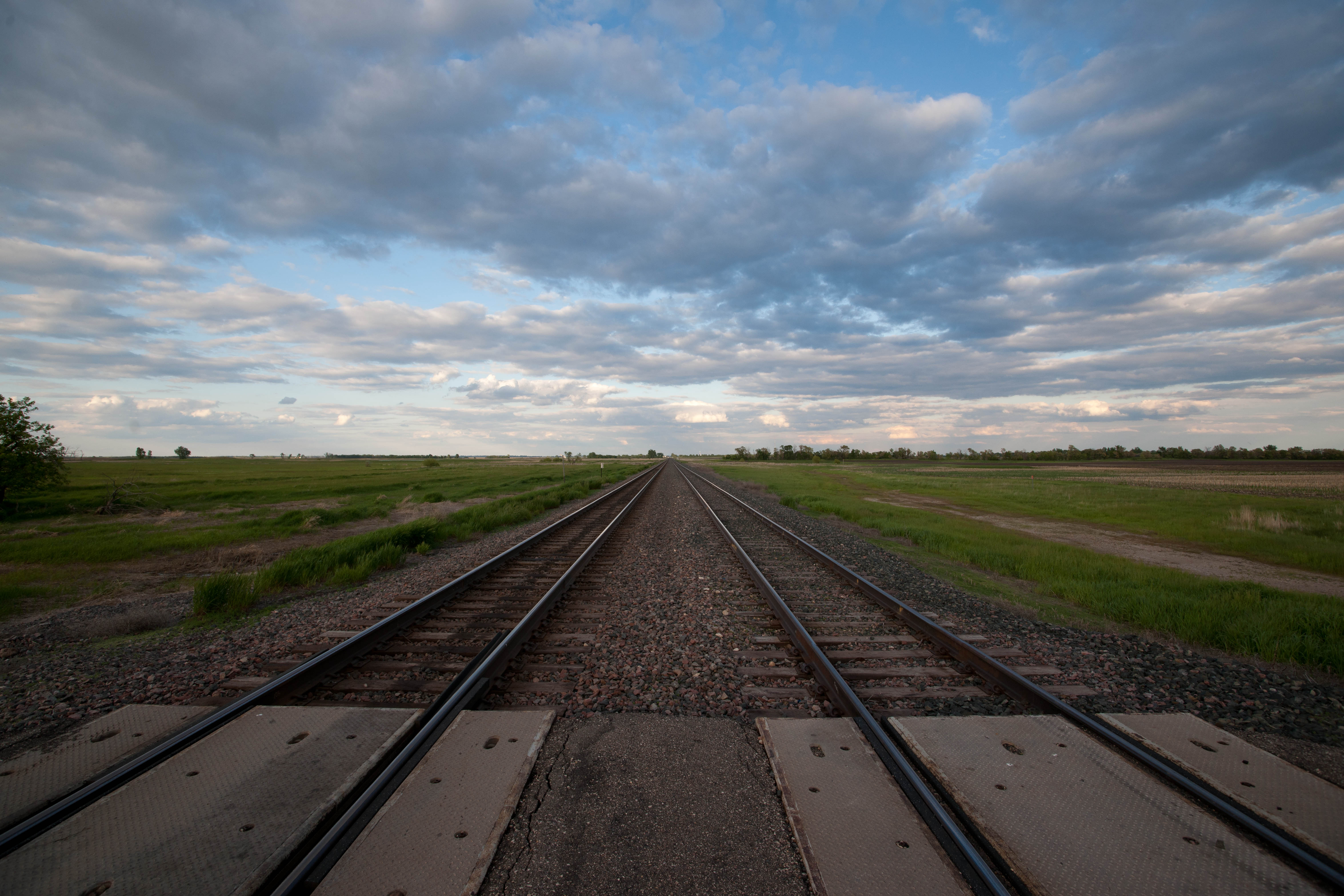
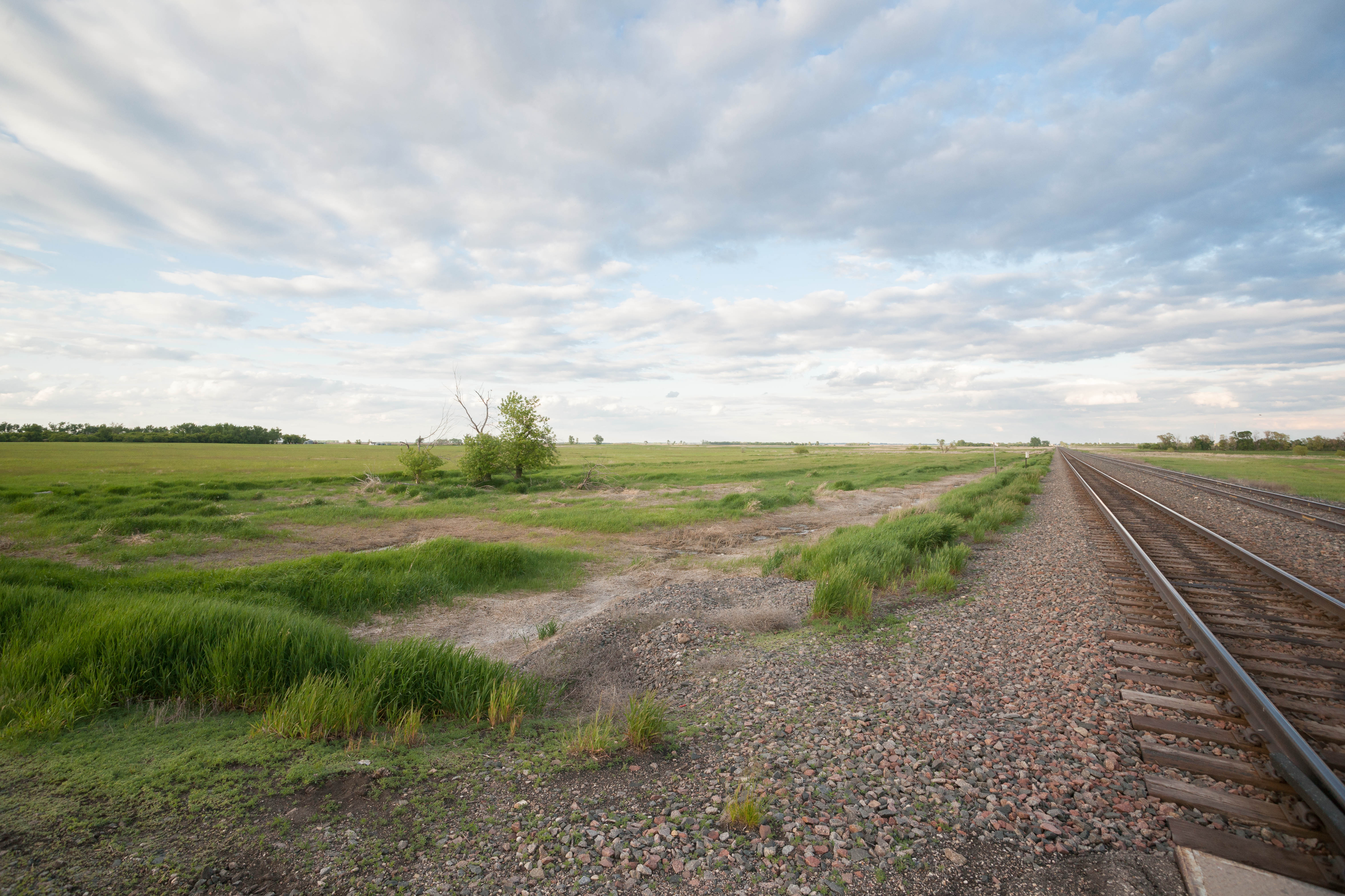
Magnolia, North Dakota
Magnolia, North Dakota
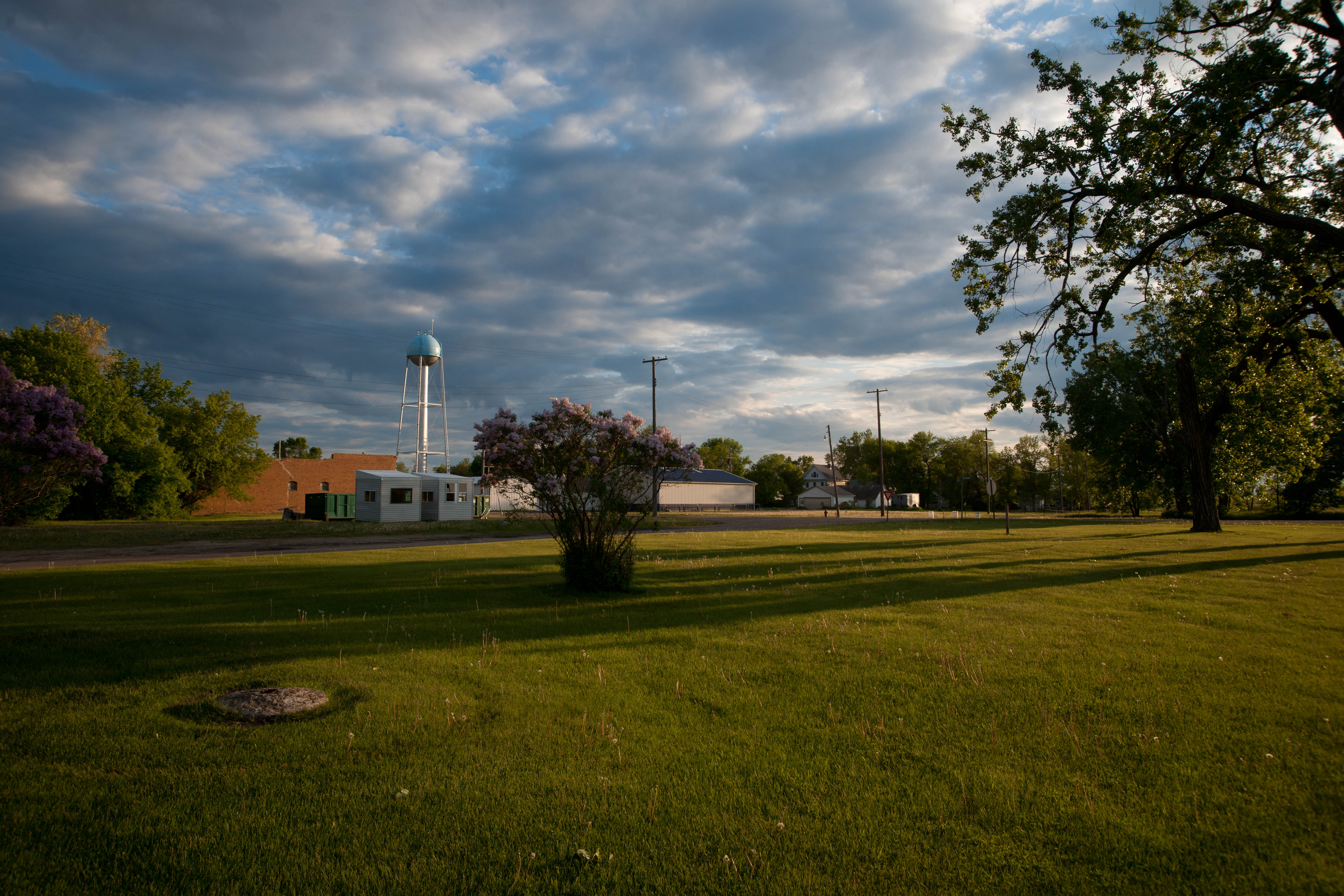
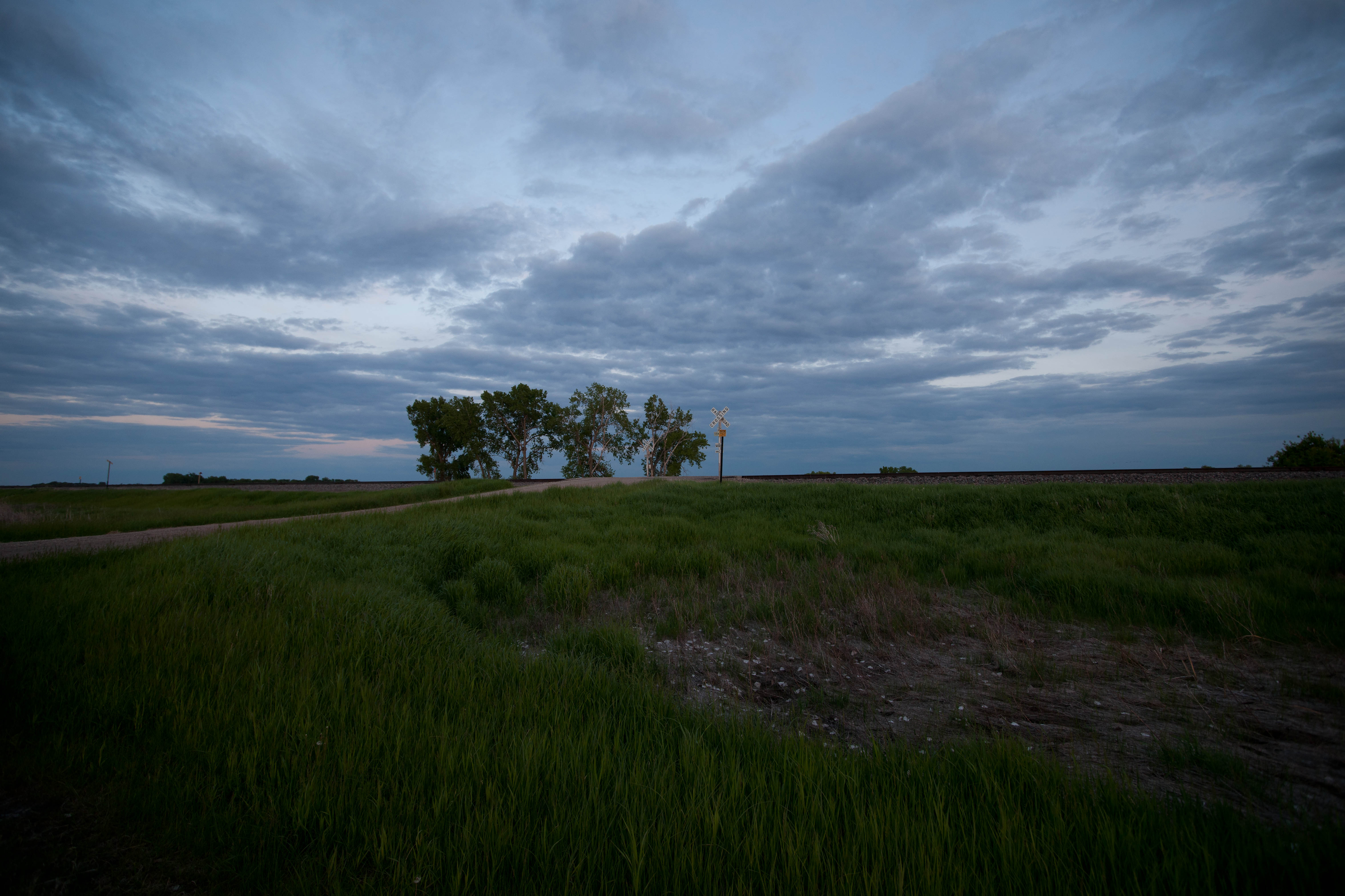
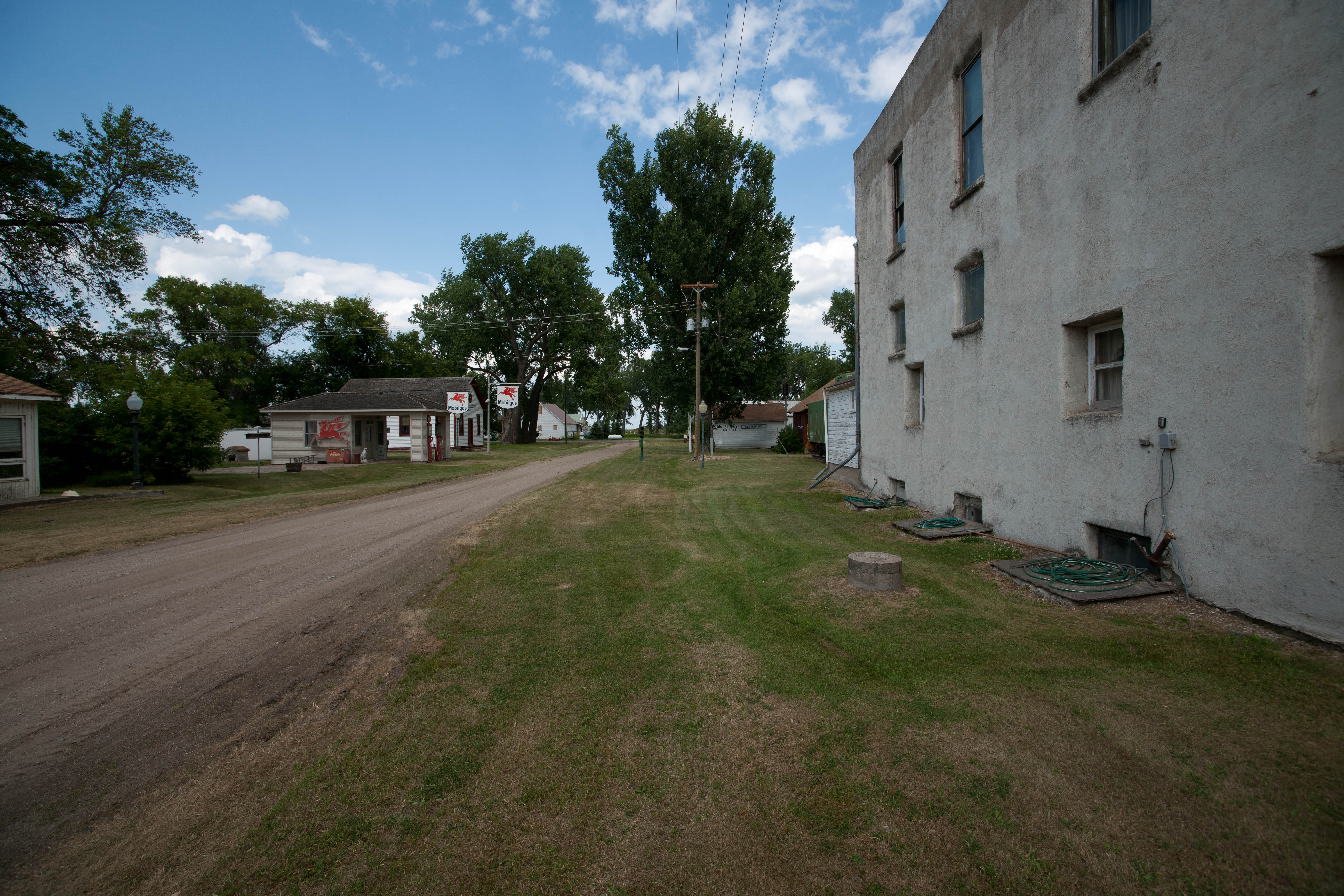
Tower City, North Dakota

This is what passes for a historical plaque in North Dakota
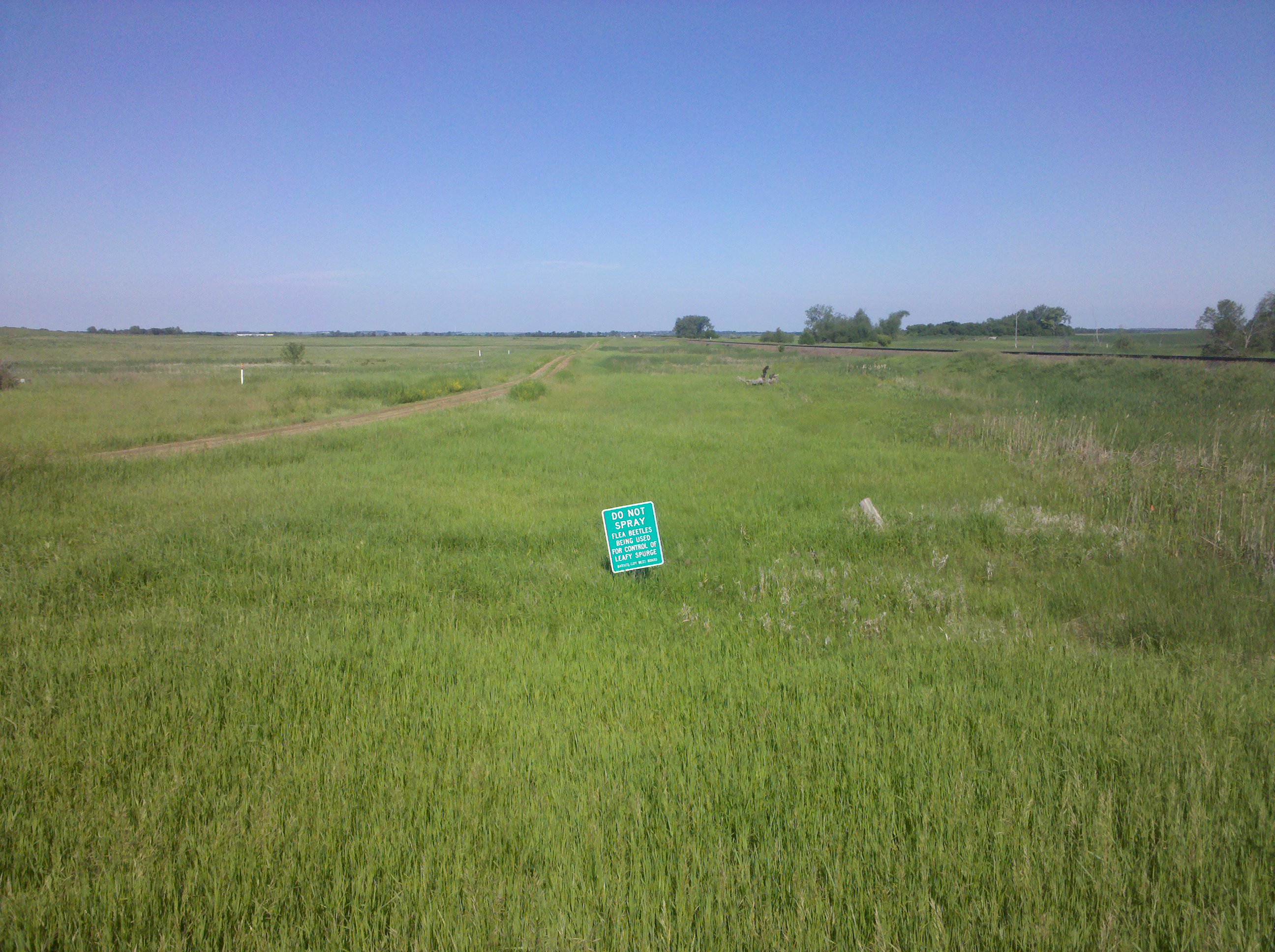
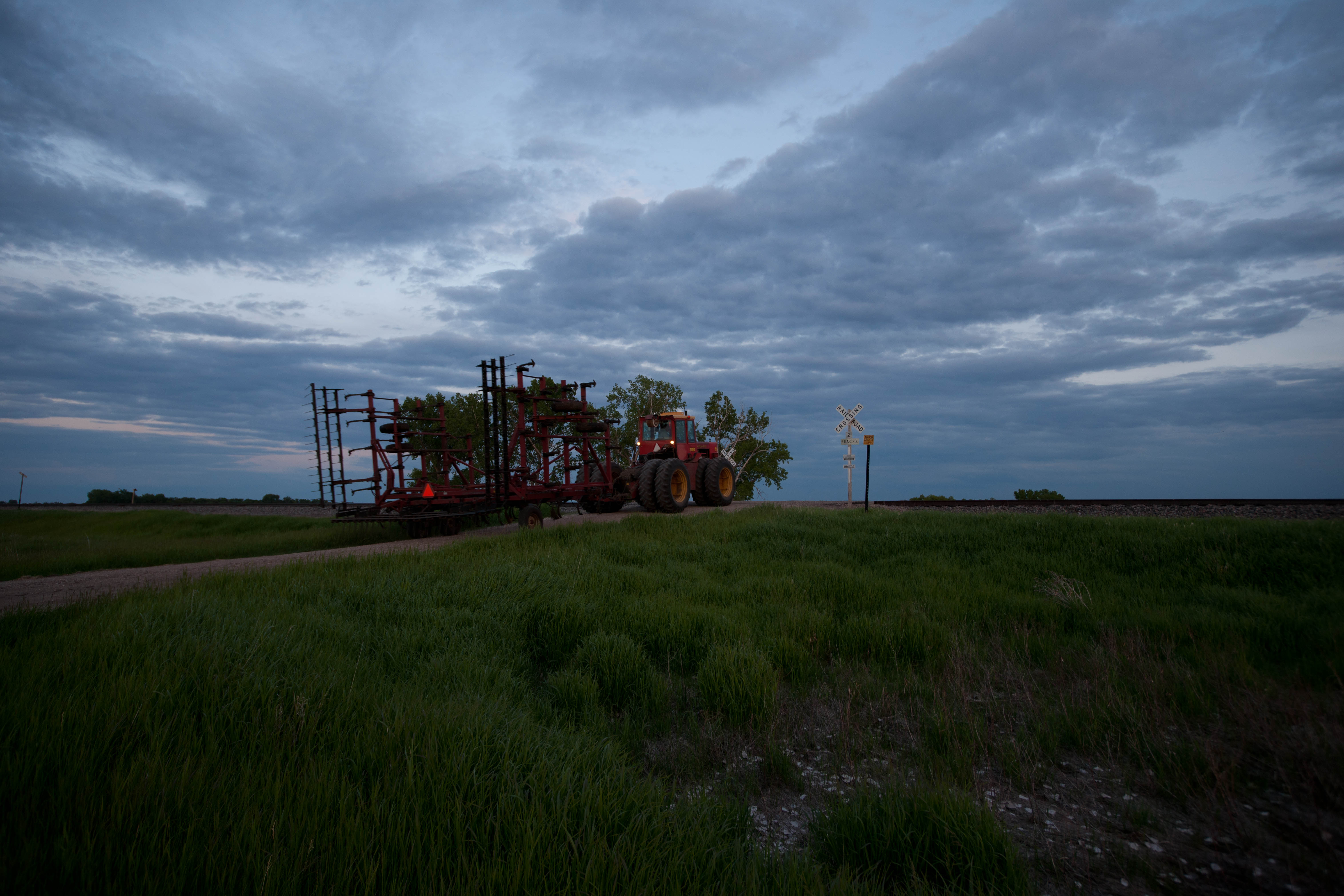
Pest control, in two senses of the term
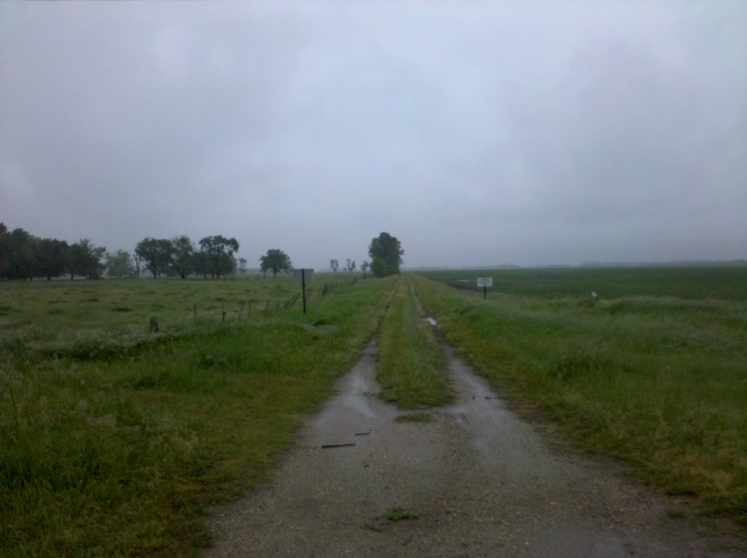
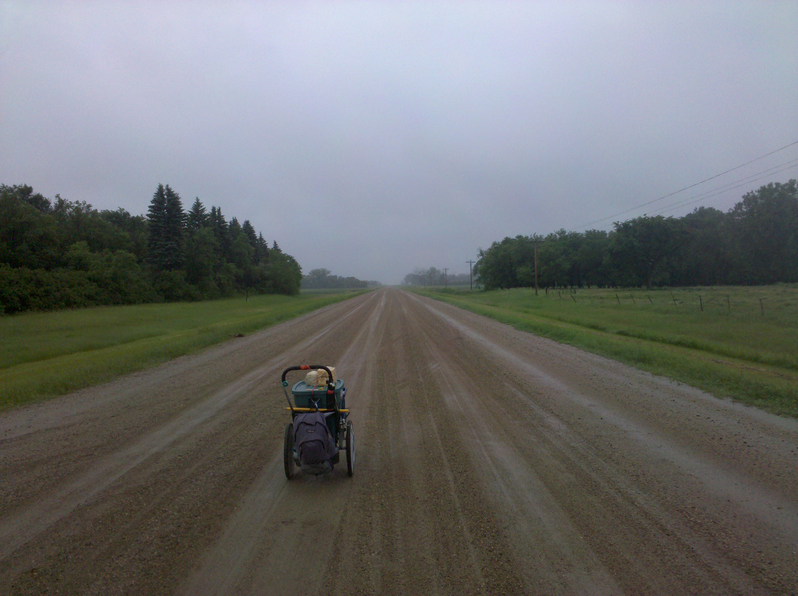
This road was not on my route
Magnolia, North Dakota
Absaraka, North Dakota
Koldok, North Dakota

Road Trip 2012 - 0315
Koldok, North Dakota
Koldok, North Dakota

Road Trip 2012 - 0313
Topographic Map of Buffalo, ND, USA
Find elevation by address:

Places near Buffalo, ND, USA:
14005 34th St Se
3510 142nd Ave Se
Buffalo
14008 40th St Se
Ayr
14578 26th St Se
Empire
3815 Nd-32
Erie
Erie
Main Ave, Erie, ND, USA
Casselton
4159 154th Ave Se
th Ave SE, Wheatland, ND, USA
Everest
32nd St SE, Wheatland, ND, USA
Greene Township
907 Governor's Dr
Casselton
Casselton
Recent Searches:
- Elevation of Unnamed Road, Respublika Severnaya Osetiya — Alaniya, Russia
- Elevation of Verkhny Fiagdon, North Ossetia–Alania Republic, Russia
- Elevation of F. Viola Hiway, San Rafael, Bulacan, Philippines
- Elevation of Herbage Dr, Gulfport, MS, USA
- Elevation of Lilac Cir, Haldimand, ON N3W 2G9, Canada
- Elevation of Harrod Branch Road, Harrod Branch Rd, Kentucky, USA
- Elevation of Wyndham Grand Barbados Sam Lords Castle All Inclusive Resort, End of Belair Road, Long Bay, Bridgetown Barbados
- Elevation of Iga Trl, Maggie Valley, NC, USA
- Elevation of N Co Rd 31D, Loveland, CO, USA
- Elevation of Lindever Ln, Palmetto, FL, USA