Elevation of Main Ave, Erie, ND, USA
Location: United States > North Dakota > Cass County > Erie > Erie >
Longitude: -97.387441
Latitude: 47.115184
Elevation: 346m / 1135feet
Barometric Pressure: 97KPa
Elevation Map:
Satellite Map:
Related Photos:
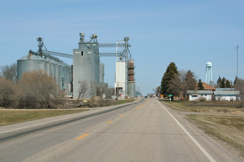
Approaching Hunter

Barn by the highway

Nolan, North Dakota
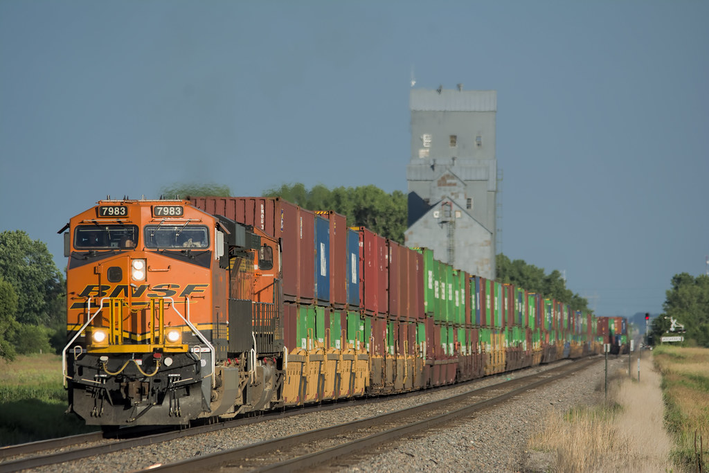
BNSF 7983
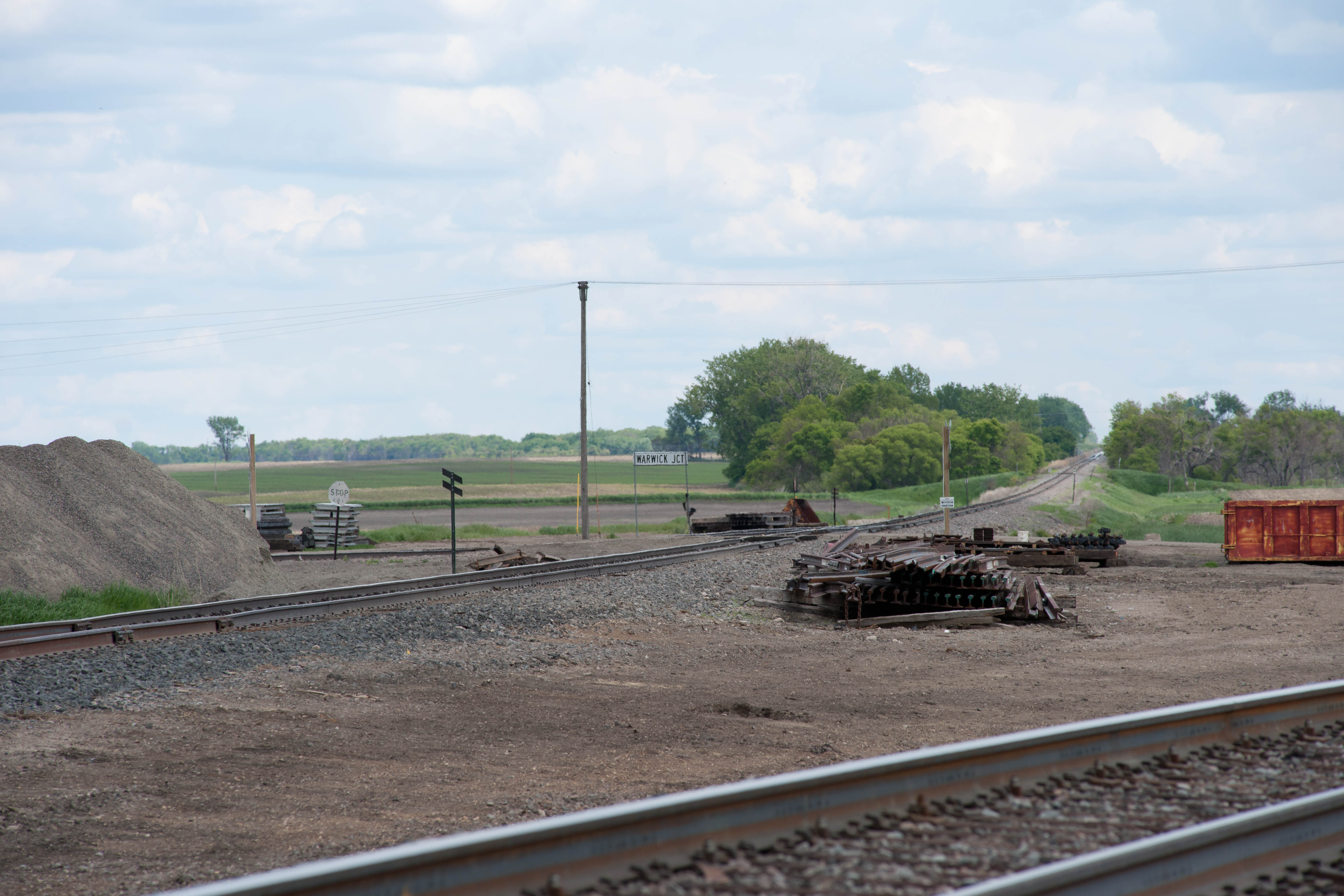
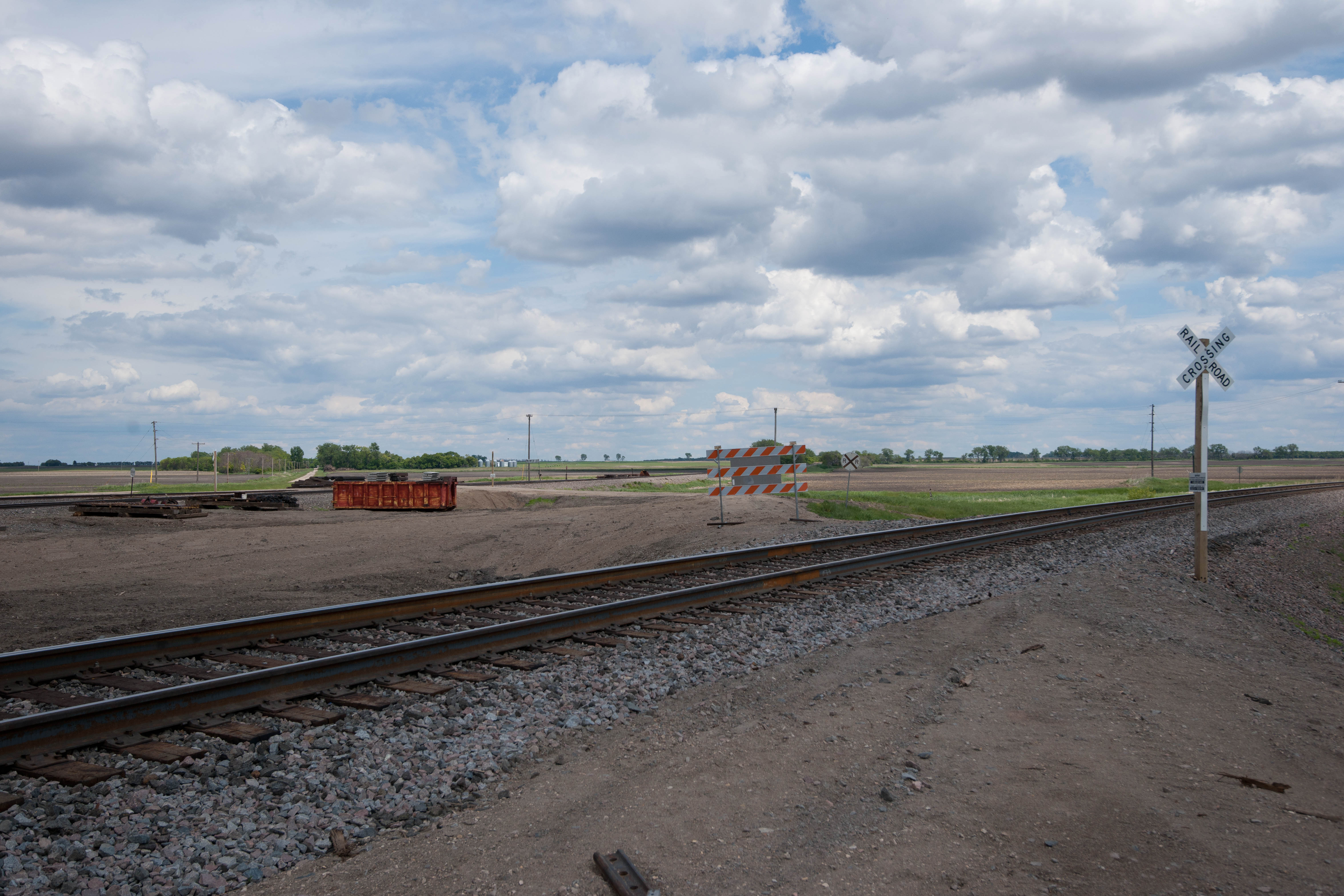
Warwick Junction, North Dakota
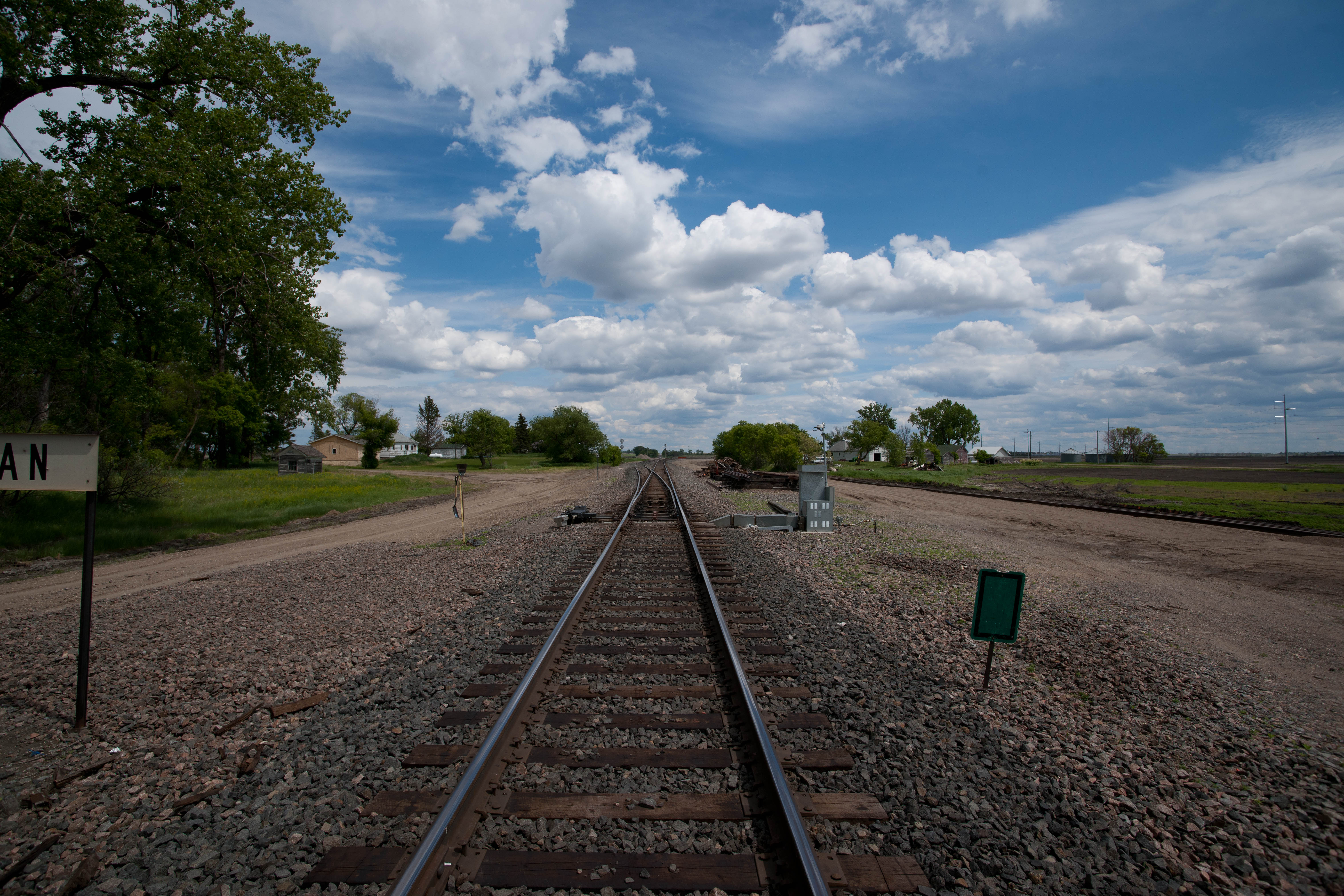
Nolan, North Dakota
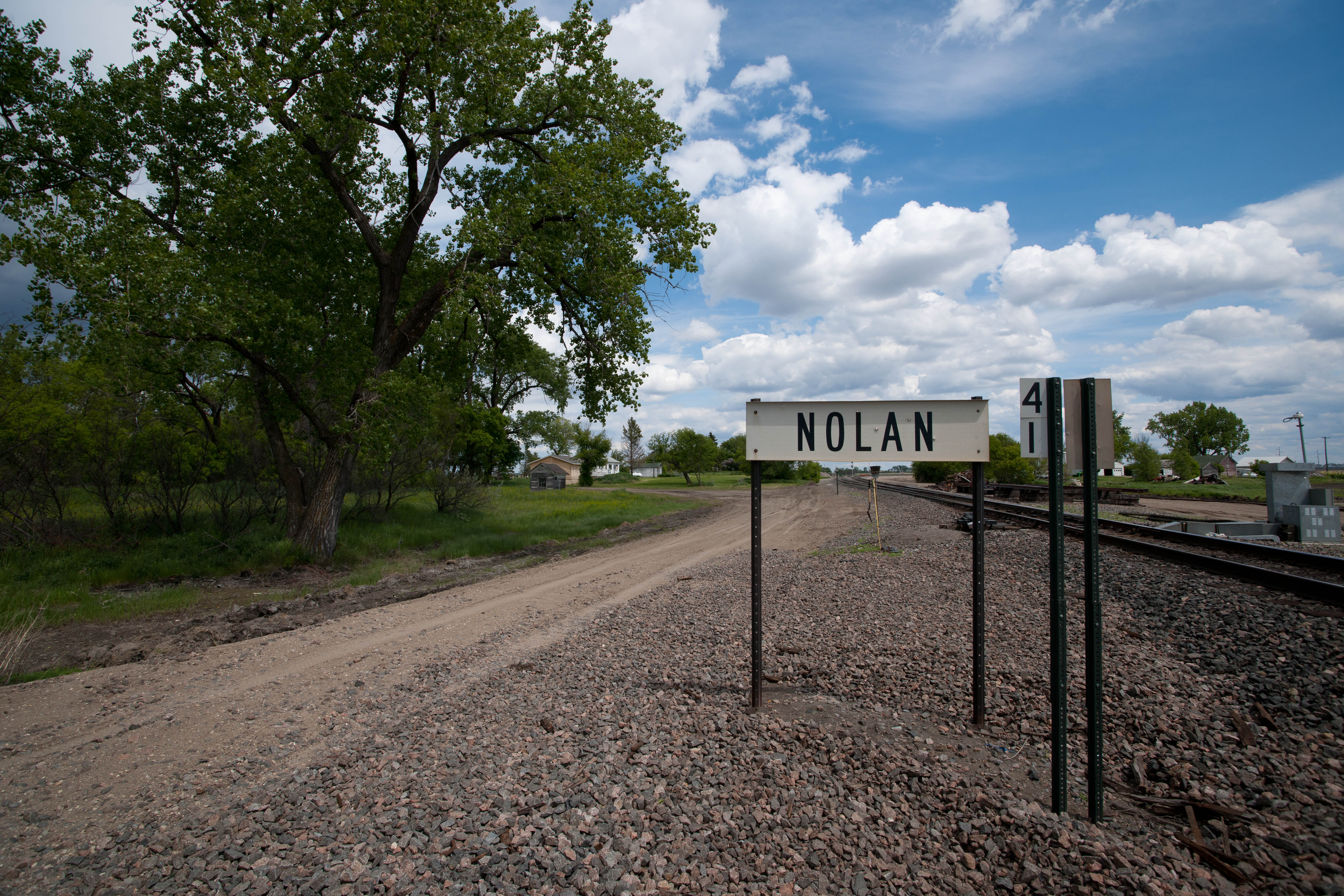
Nolan, North Dakota
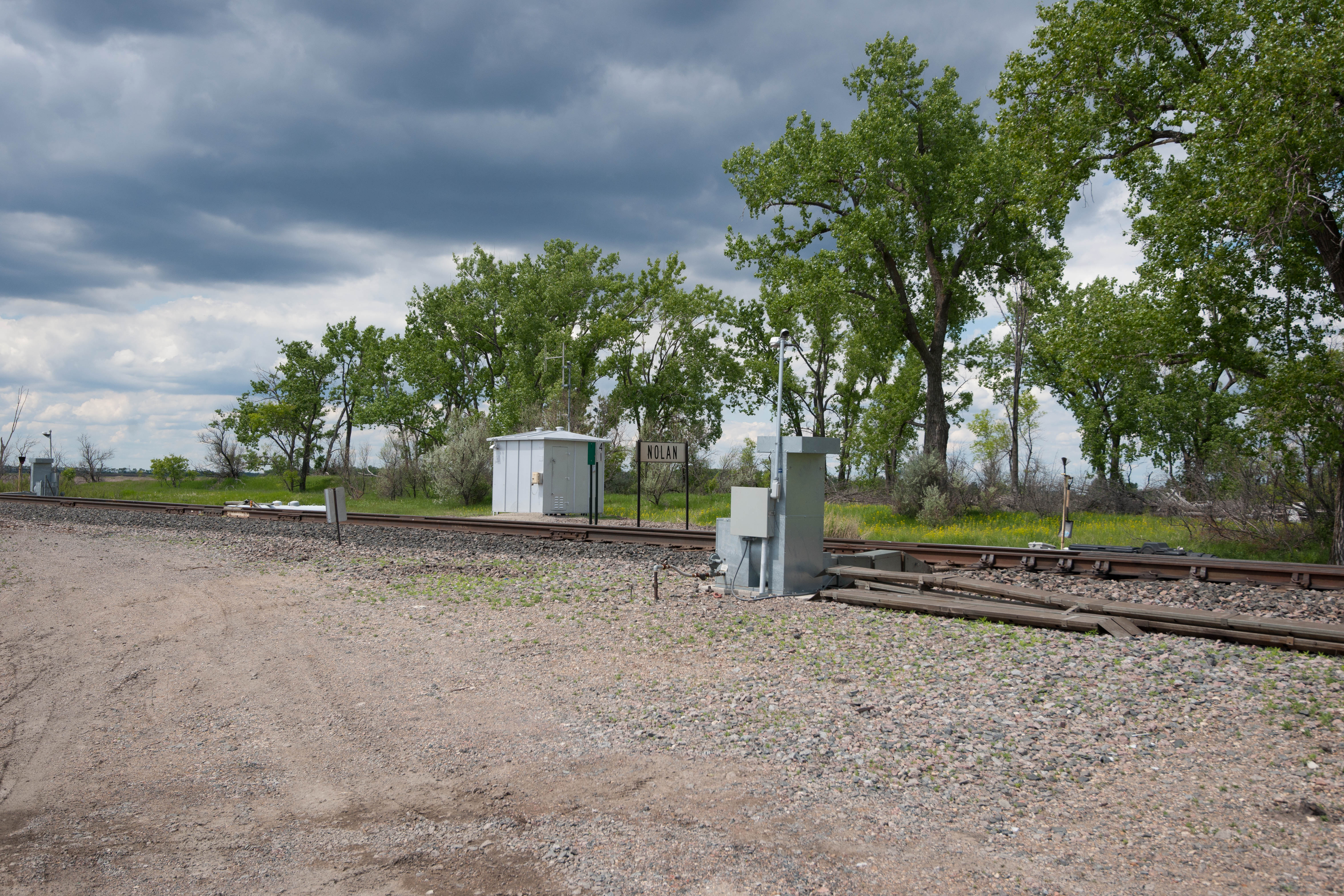
Nolan, North Dakota
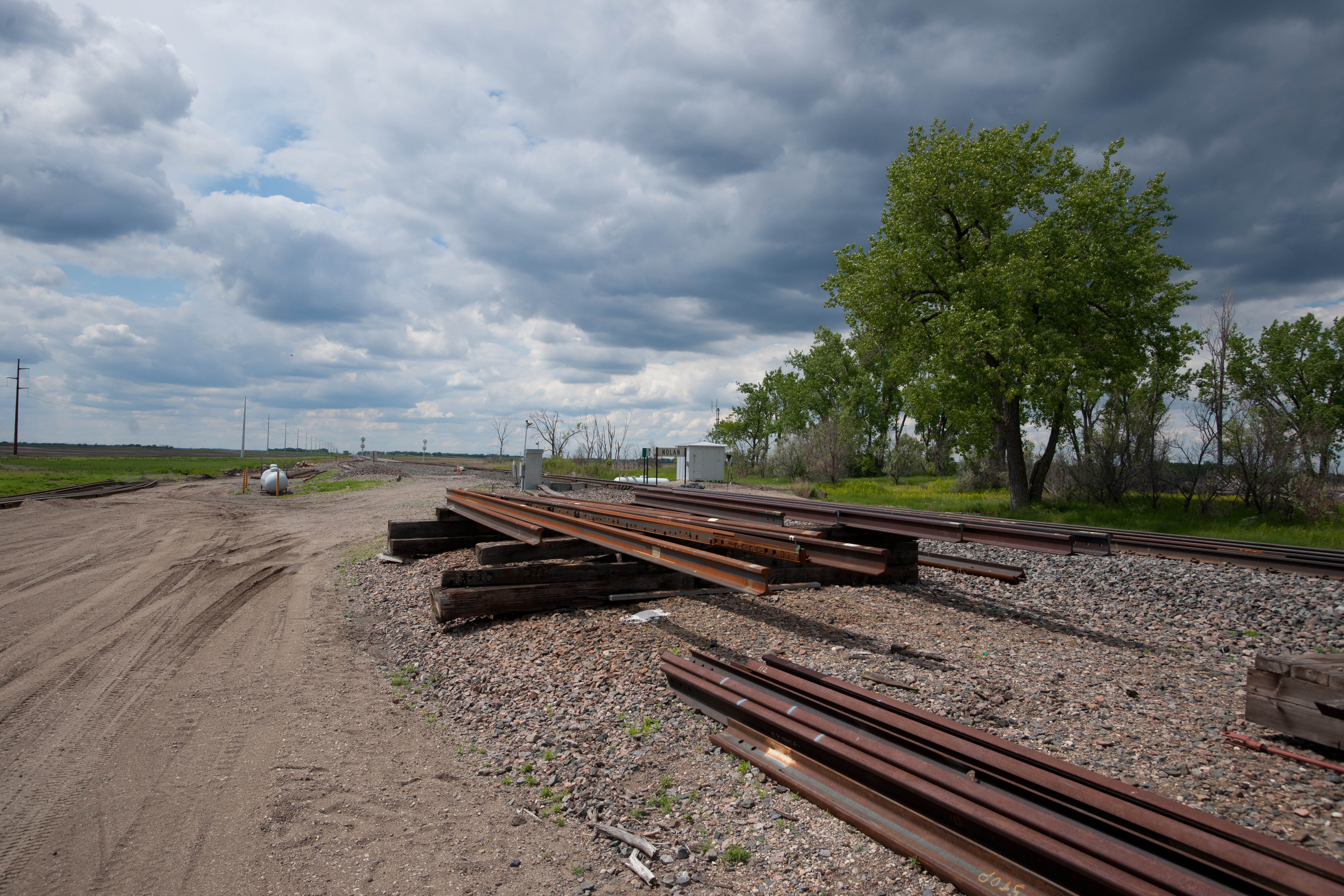
Nolan, North Dakota
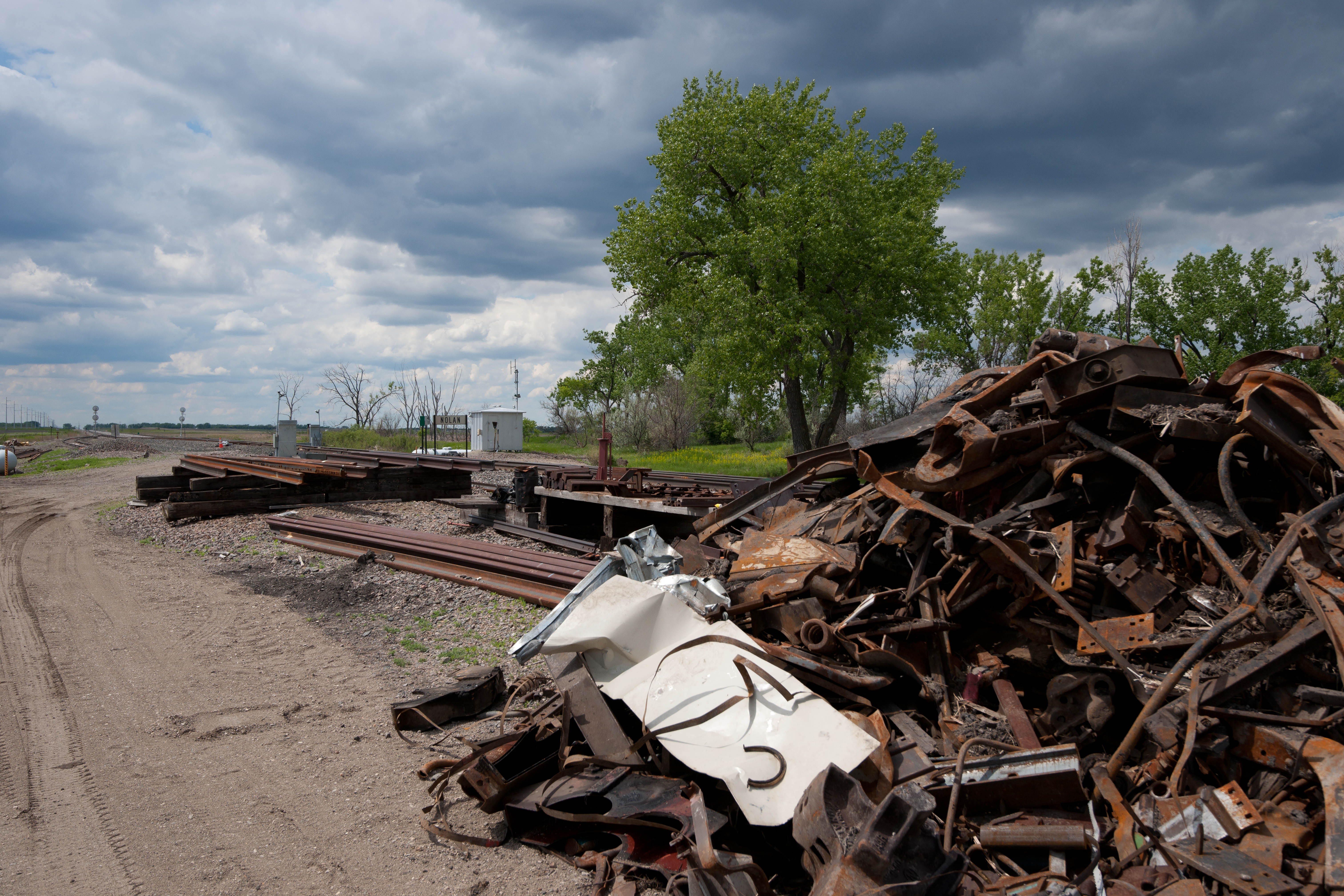
Nolan, North Dakota
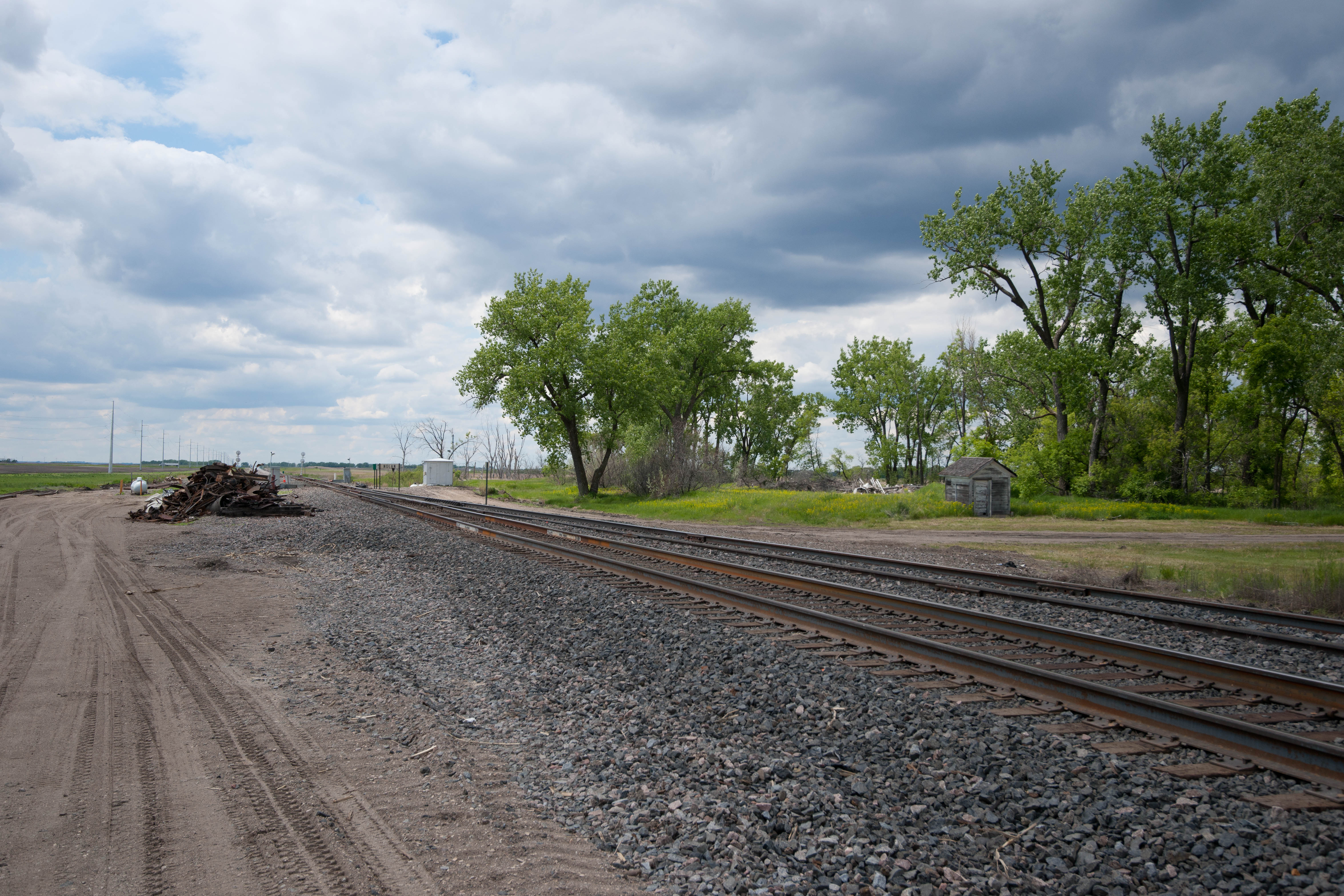
Nolan, North Dakota
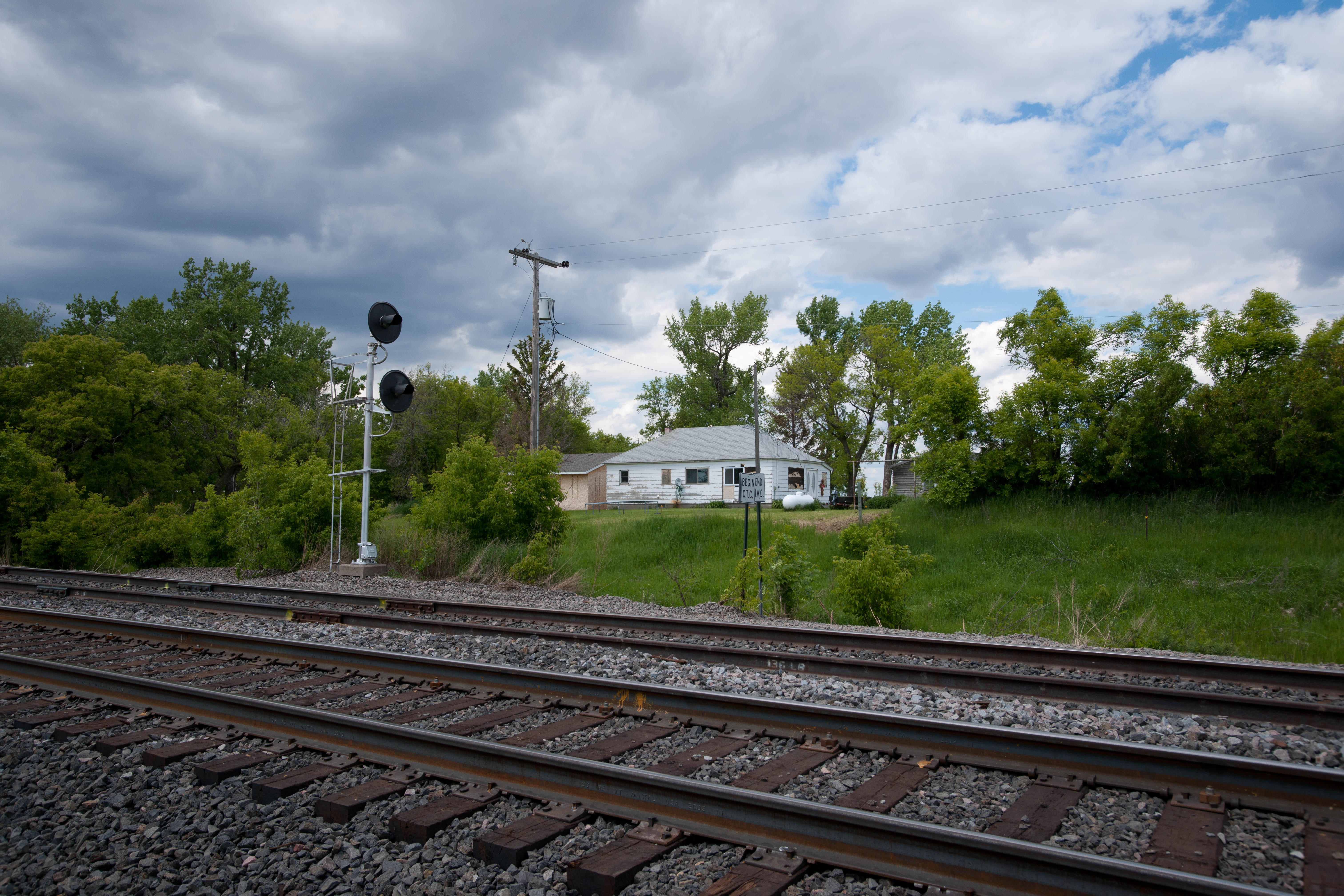
Nolan, North Dakota
Nolan, North Dakota
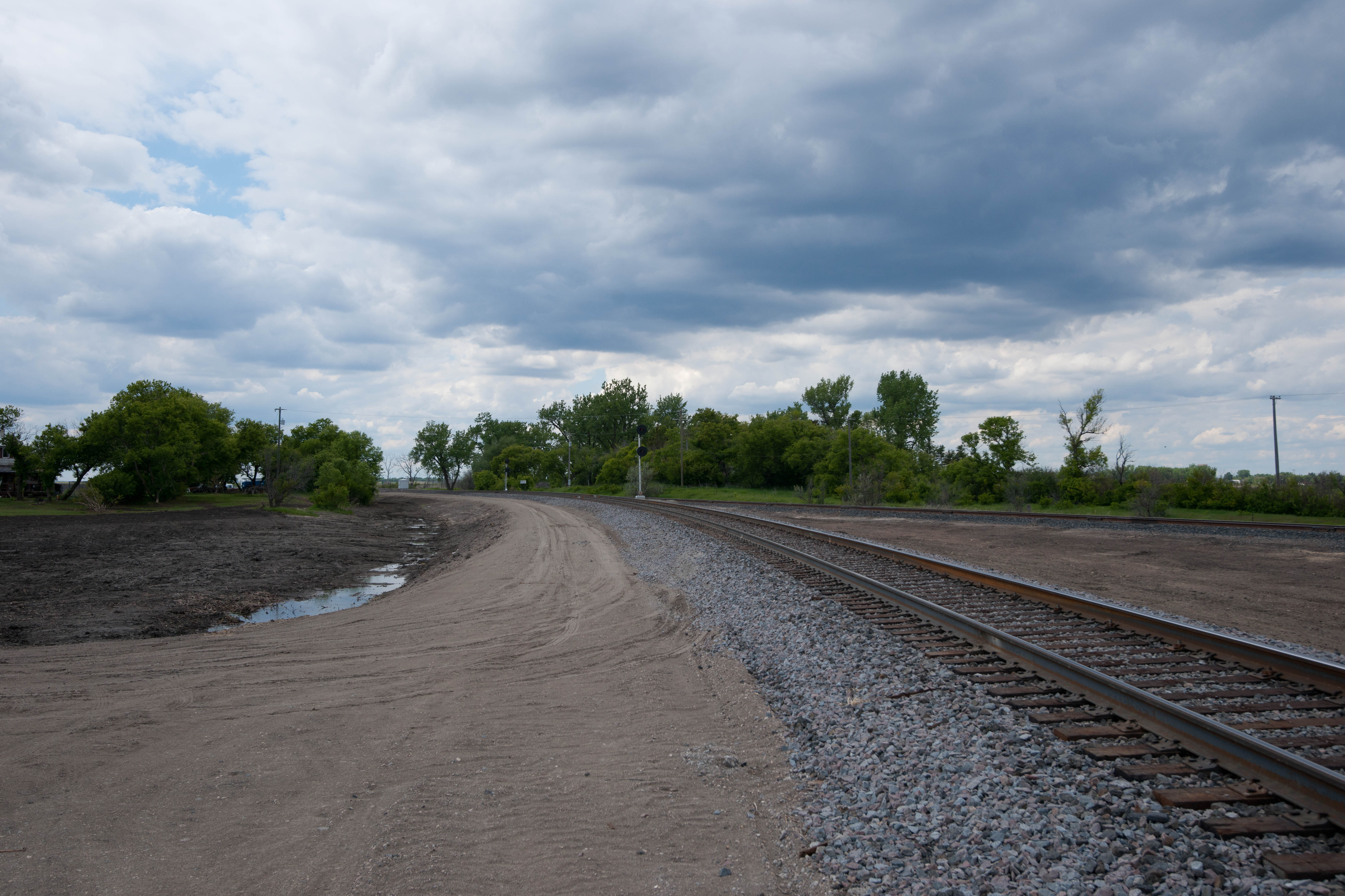
Nolan, North Dakota
Nolan, North Dakota
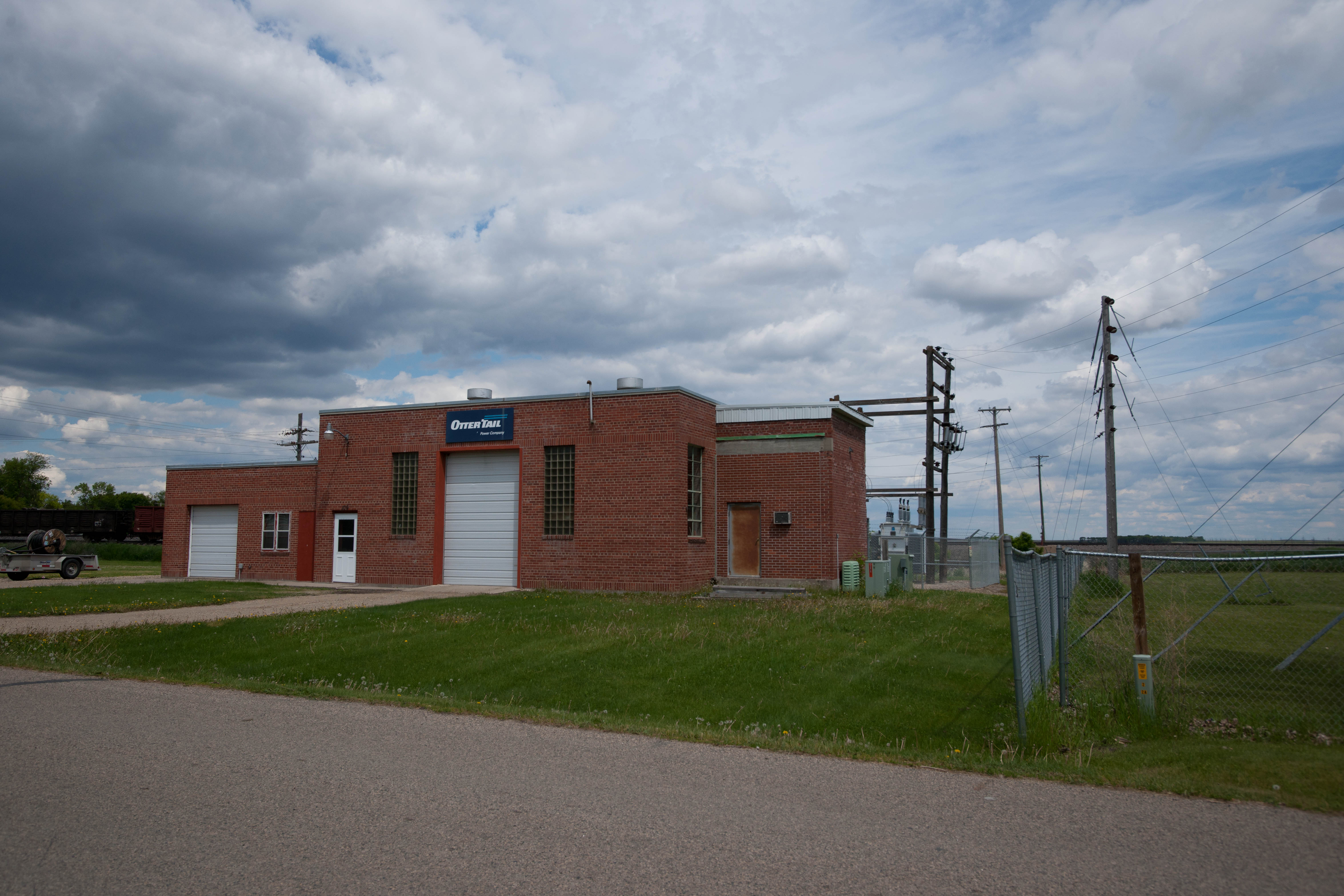
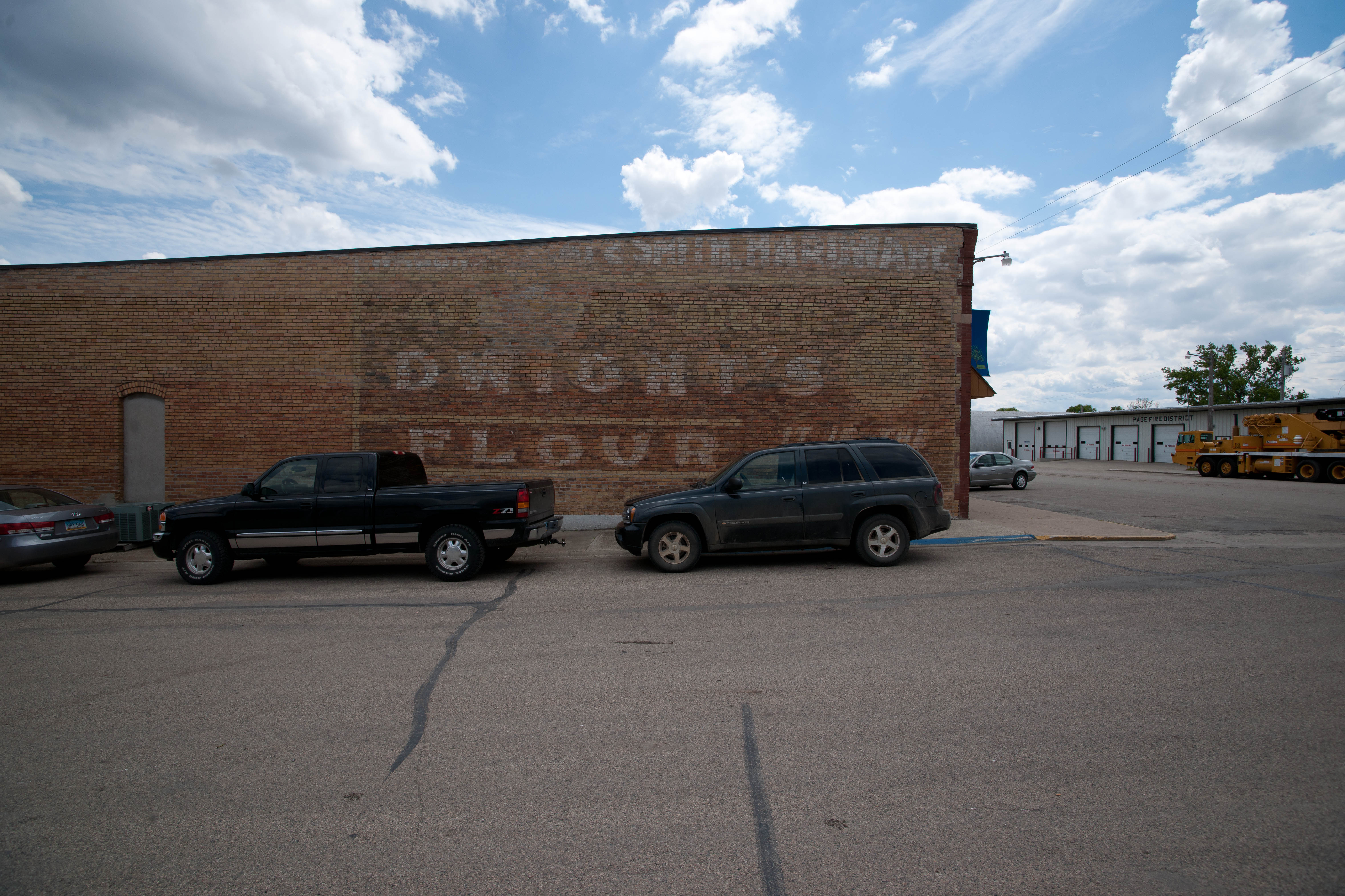
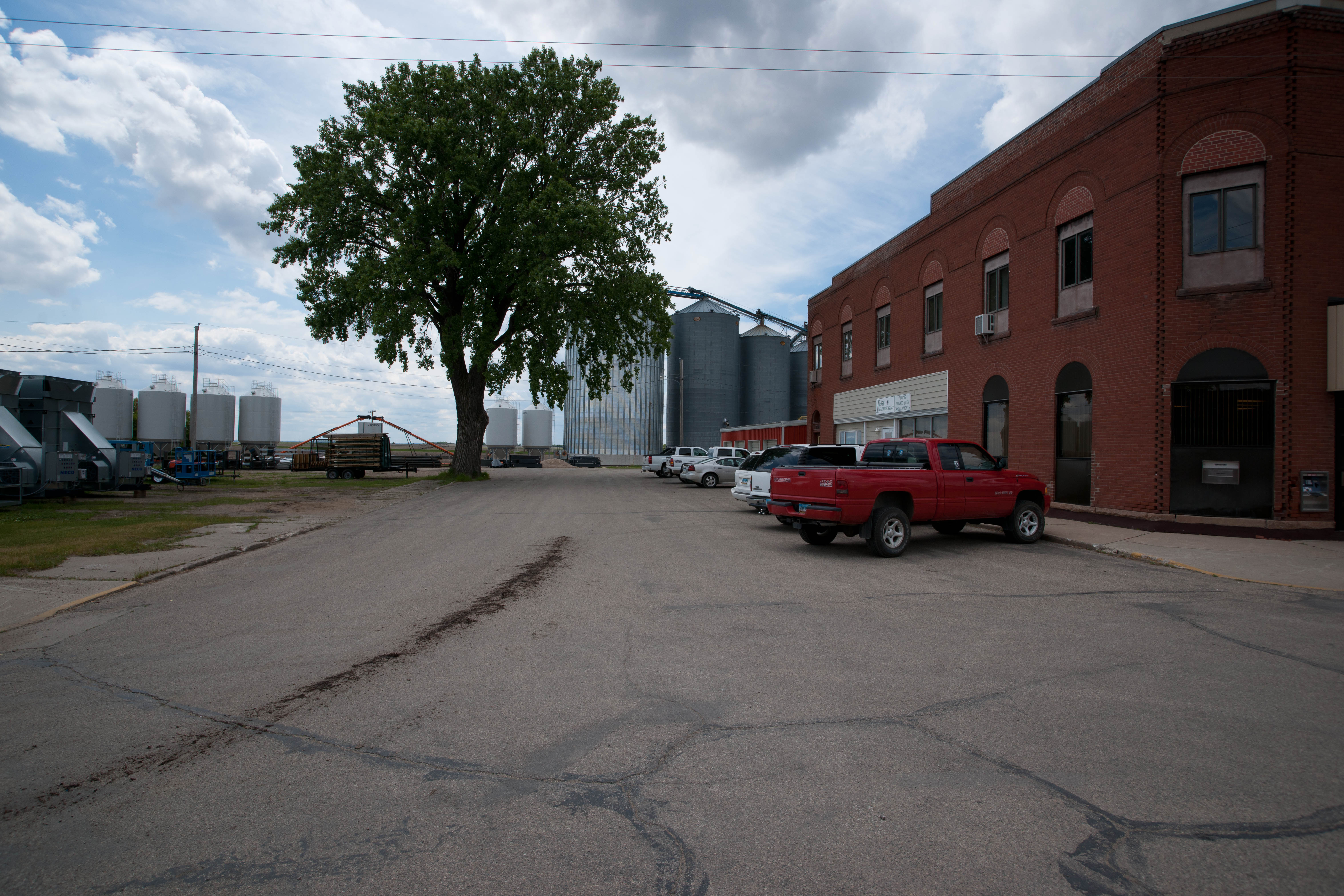
Page, North Dakota

Page, North Dakota
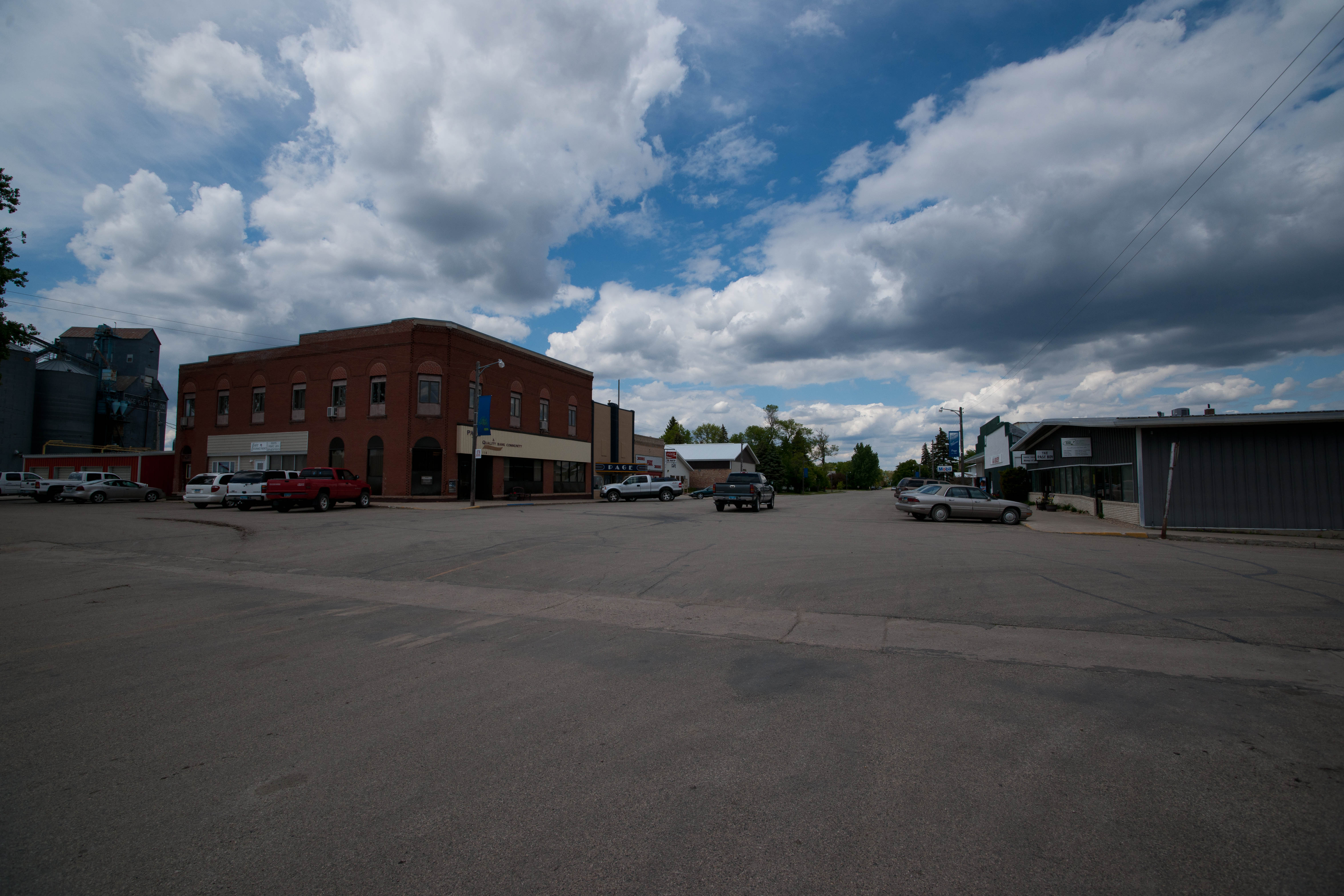
Page, North Dakota
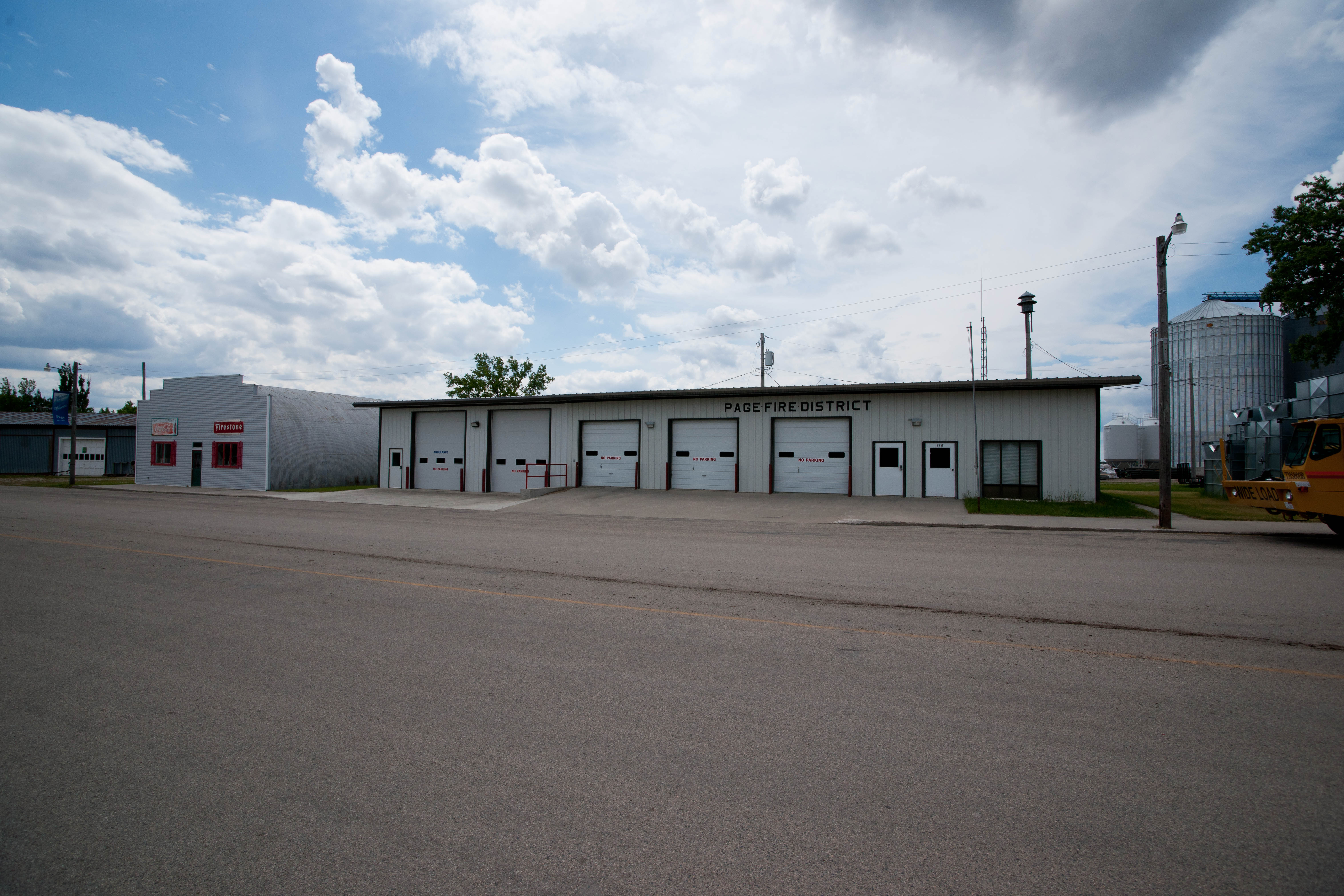
Page, North Dakota
Page, North Dakota
Page, North Dakota
Topographic Map of Main Ave, Erie, ND, USA
Find elevation by address:

Places near Main Ave, Erie, ND, USA:
Erie
Erie
Empire
14578 26th St Se
Ayr
Buffalo
Amenia
Casselton
32nd St SE, Wheatland, ND, USA
60 Garfield Ave, Clifford, ND, USA
Clifford
3510 142nd Ave Se
14005 34th St Se
Buffalo
th Ave SE, Wheatland, ND, USA
Cass County
Casselton
Casselton
907 Governor's Dr
15705 36th St Se
Recent Searches:
- Elevation of Elwyn Dr, Roanoke Rapids, NC, USA
- Elevation of Congressional Dr, Stevensville, MD, USA
- Elevation of Bellview Rd, McLean, VA, USA
- Elevation of Stage Island Rd, Chatham, MA, USA
- Elevation of Shibuya Scramble Crossing, 21 Udagawacho, Shibuya City, Tokyo -, Japan
- Elevation of Jadagoniai, Kaunas District Municipality, Lithuania
- Elevation of Pagonija rock, Kranto 7-oji g. 8"N, Kaunas, Lithuania
- Elevation of Co Rd 87, Jamestown, CO, USA
- Elevation of Tenjo, Cundinamarca, Colombia
- Elevation of Côte-des-Neiges, Montreal, QC H4A 3J6, Canada