Elevation of Sutton, ND, USA
Location: United States > North Dakota > Griggs County > Mabel >
Longitude: -98.439184
Latitude: 47.4020021
Elevation: 448m / 1470feet
Barometric Pressure: 96KPa
Elevation Map:
Satellite Map:
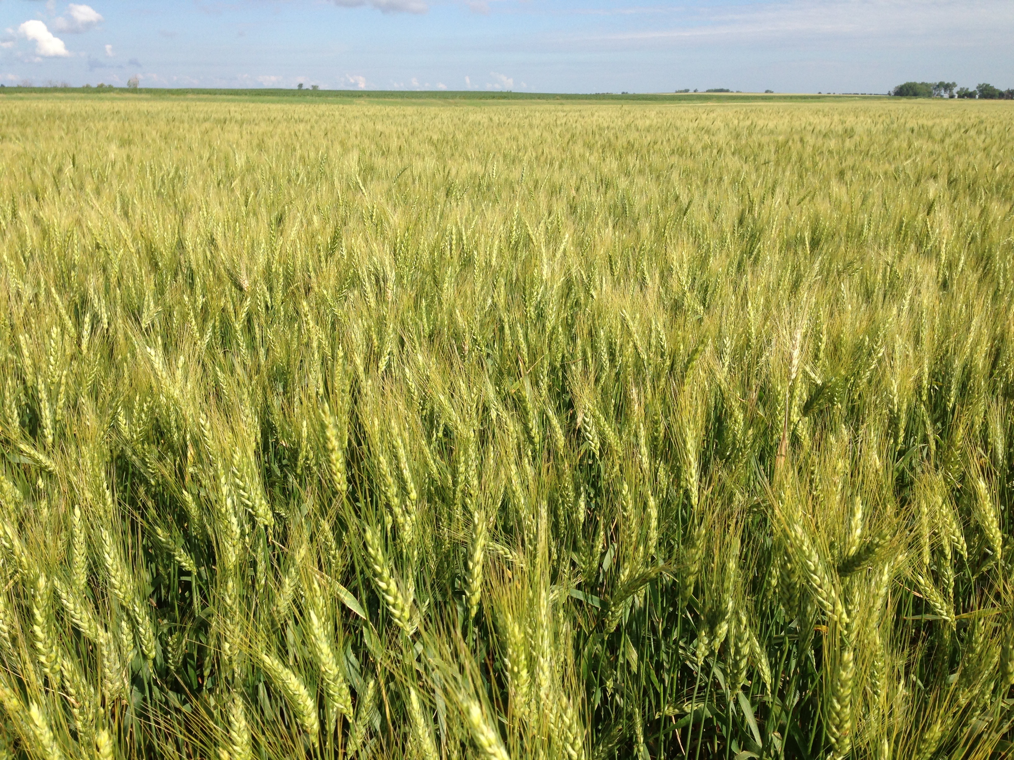
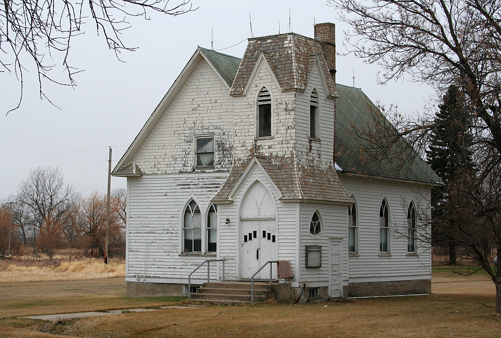
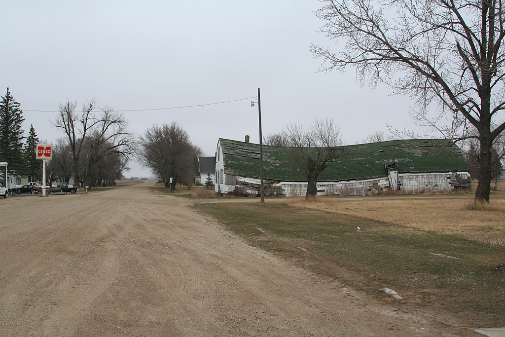
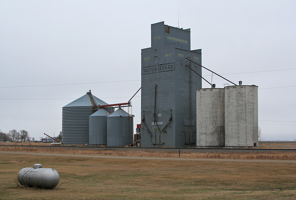
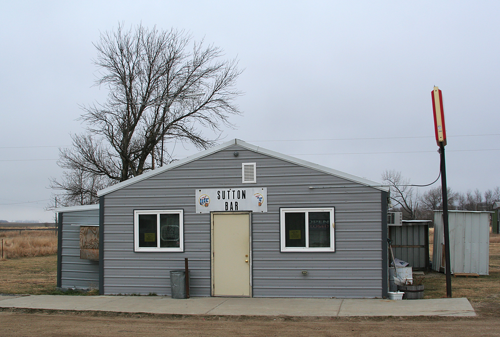
Related Photos:


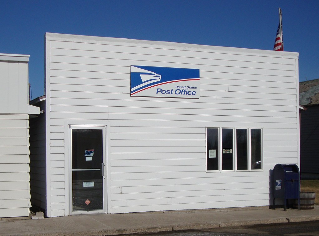
Post Office 58443 (Glenfield, North Dakota)
apr08-32
apr08-30

apr08-29
apr08-31
apr08-28
Topographic Map of Sutton, ND, USA
Find elevation by address:

Places near Sutton, ND, USA:
Center St, Wimbledon, ND, USA
Wimbledon
6 Nd-9
8919 Nd-9
Gray
E Lake County Rd, Wimbledon, ND, USA
Foster County
3069 83 1/2 Ave Se
Eddy County
7647 24th St Se
Jamestown
Hidden
Ypsilanti
Melville, ND, USA
Eldridge
Ypsilanti
Eldridge
Main Ave S, Eldridge, ND, USA
Carrington
Stutsman County
Recent Searches:
- Elevation of Elwyn Dr, Roanoke Rapids, NC, USA
- Elevation of Congressional Dr, Stevensville, MD, USA
- Elevation of Bellview Rd, McLean, VA, USA
- Elevation of Stage Island Rd, Chatham, MA, USA
- Elevation of Shibuya Scramble Crossing, 21 Udagawacho, Shibuya City, Tokyo -, Japan
- Elevation of Jadagoniai, Kaunas District Municipality, Lithuania
- Elevation of Pagonija rock, Kranto 7-oji g. 8"N, Kaunas, Lithuania
- Elevation of Co Rd 87, Jamestown, CO, USA
- Elevation of Tenjo, Cundinamarca, Colombia
- Elevation of Côte-des-Neiges, Montreal, QC H4A 3J6, Canada