Elevation map of Stutsman County, ND, USA
Location: United States > North Dakota >
Longitude: -98.990913
Latitude: 46.939184
Elevation: 518m / 1699feet
Barometric Pressure: 95KPa
Elevation Map:
Satellite Map:
Related Photos:
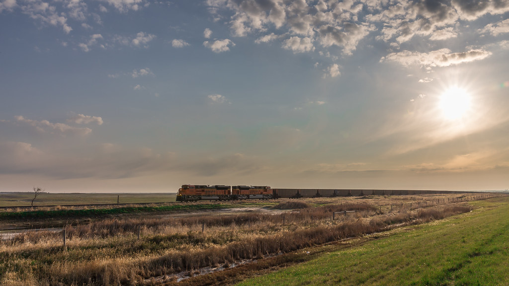
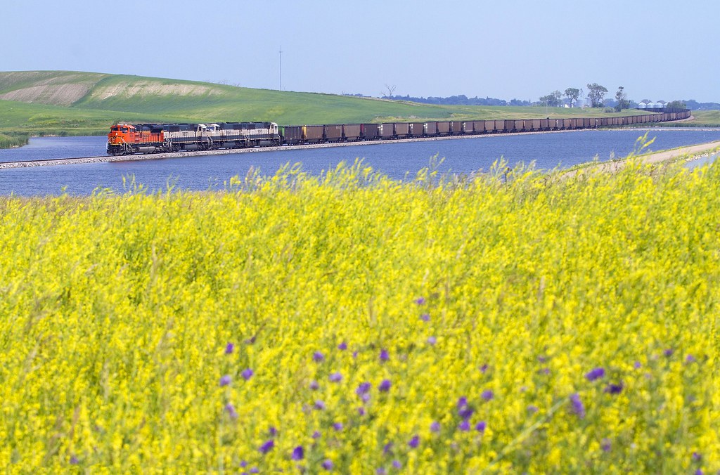
Morning Freight
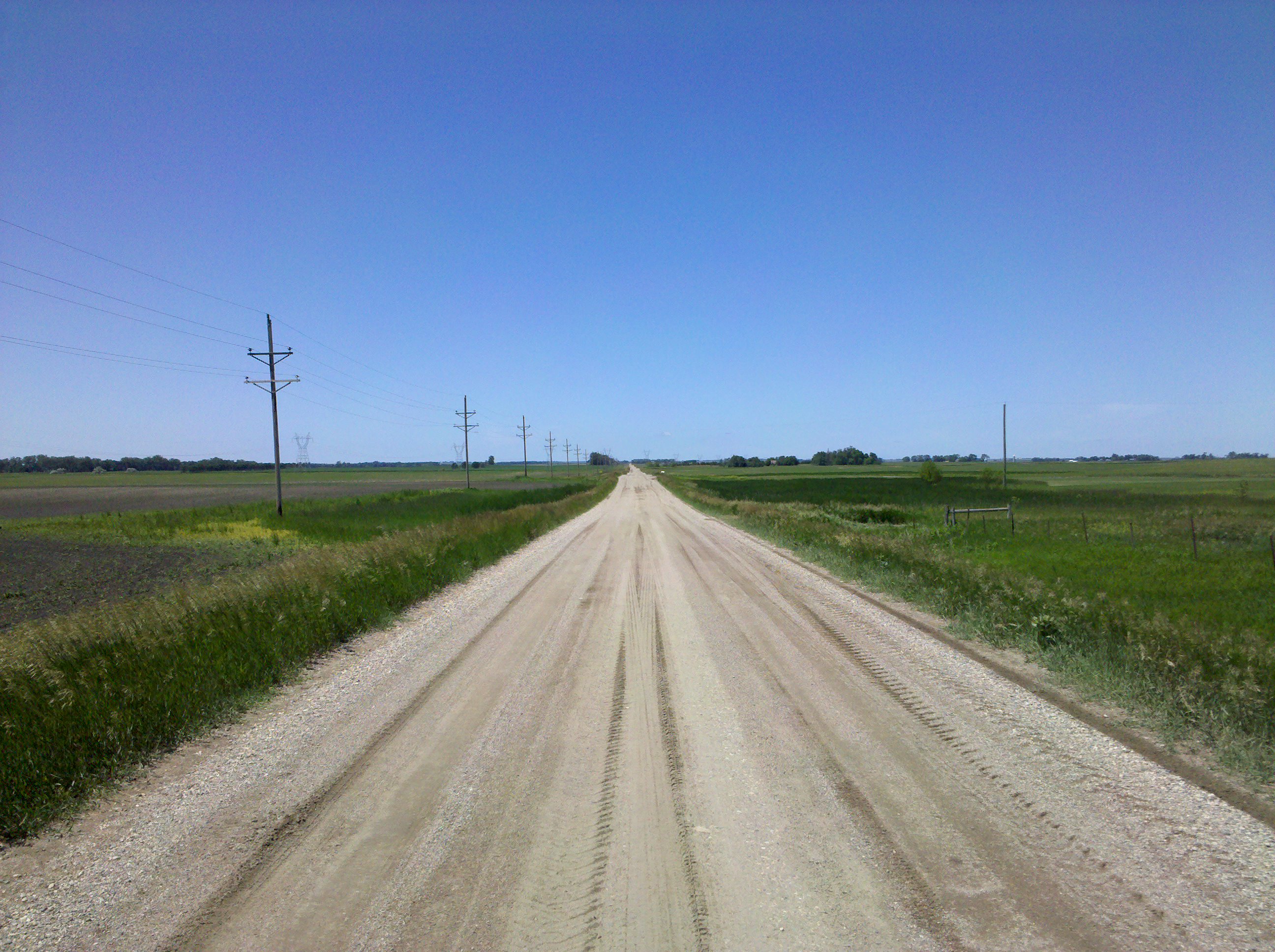
Dakota dirt

Landscape_091211_LR-72.jpg

Landscape_091211_LR-73.jpg
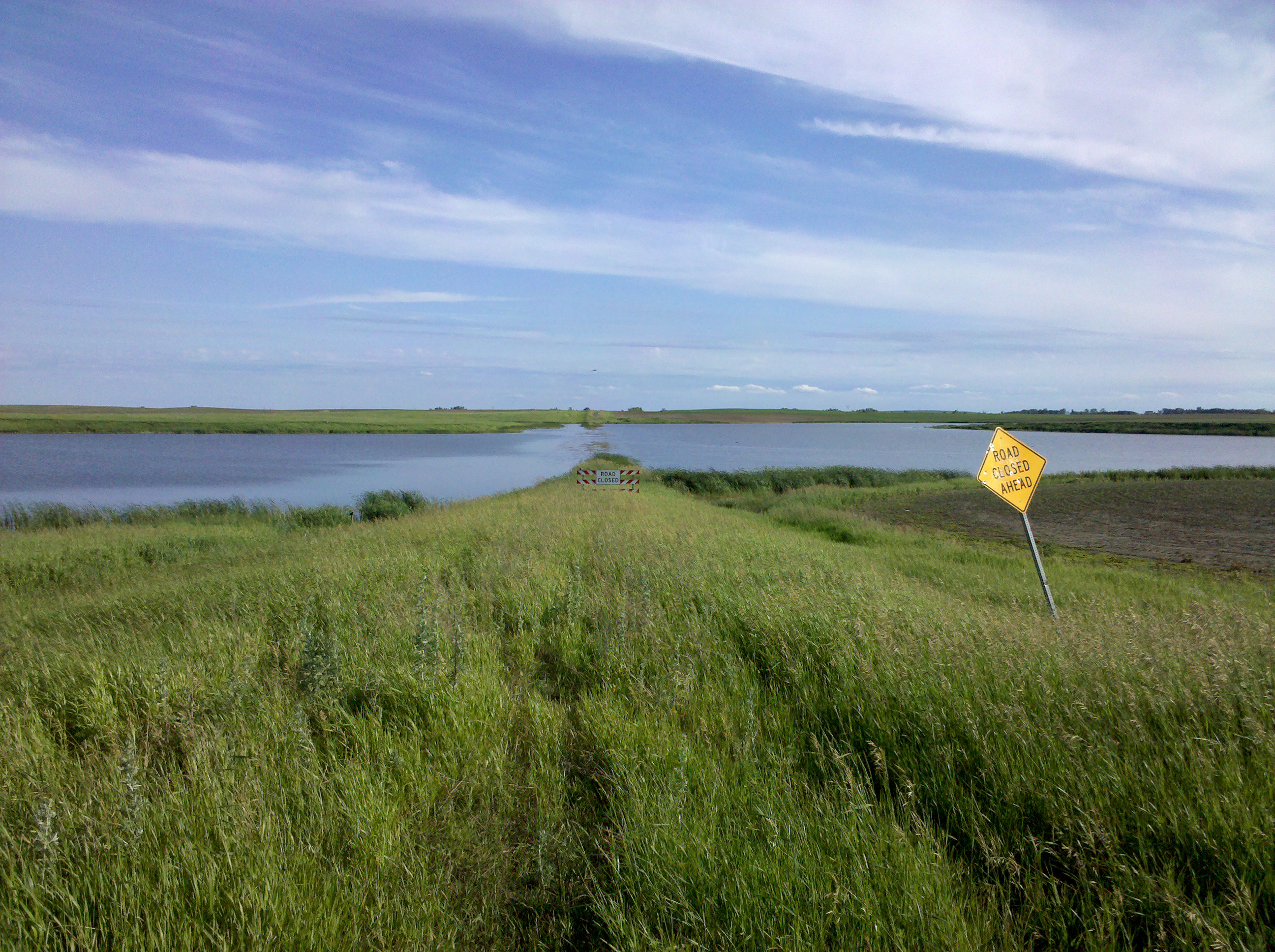
Water conquers road, again

Landscape_091211_LR-68.jpg

Landscape_091211_LR-104.jpg
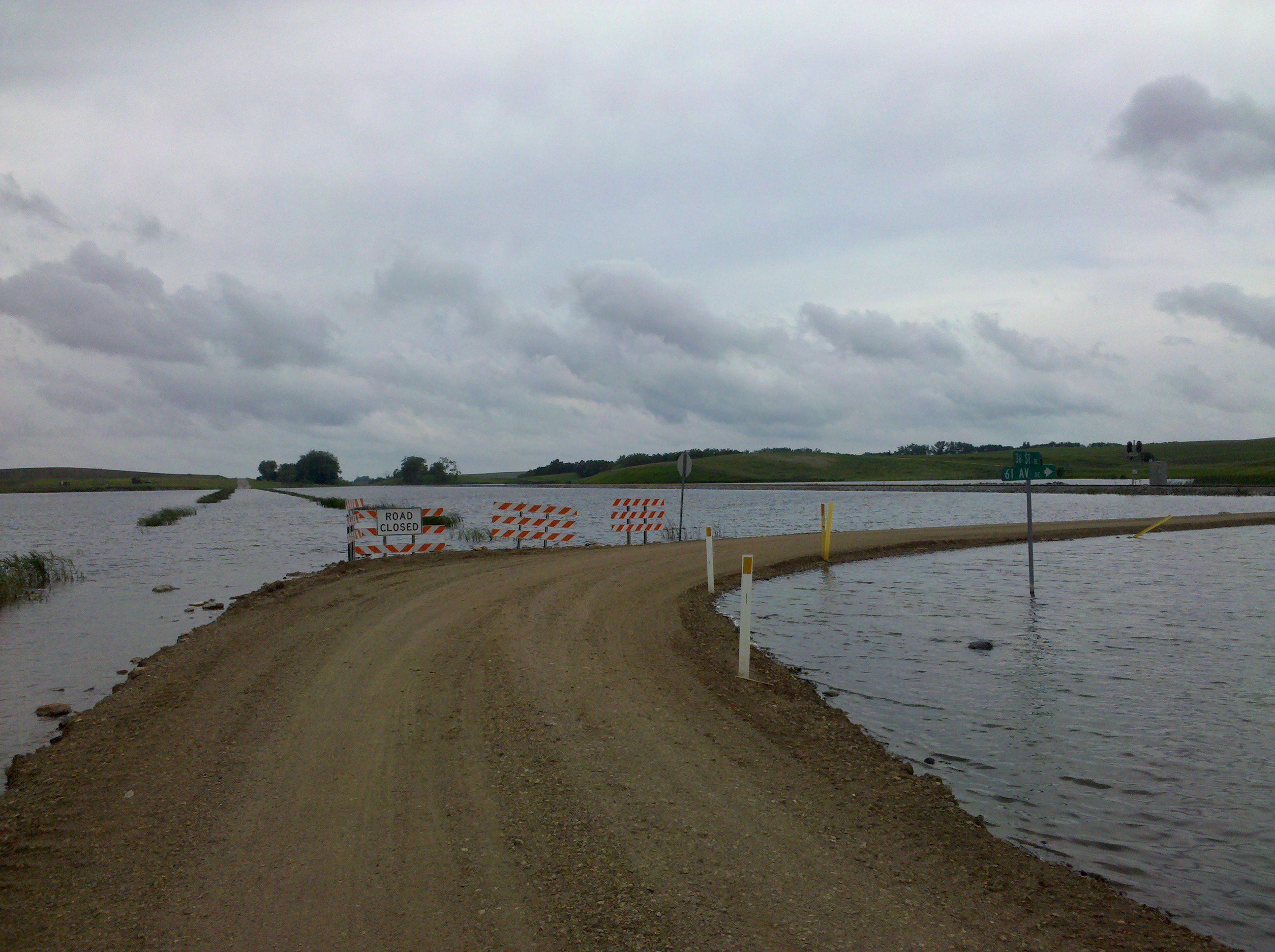
The aquatic wonderland continues
Cleveland Color
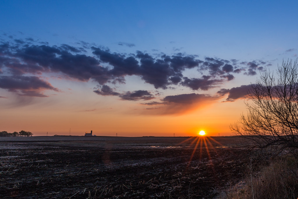
Sunrise over the North Dakota Plains
Topographic Map of Stutsman County, ND, USA
Find elevation by address:

Places in Stutsman County, ND, USA:
Places near Stutsman County, ND, USA:
Eldridge
Weld
Hidden
Eldridge
Main Ave S, Eldridge, ND, USA
7647 24th St Se
3312 61st Ave Se
3312 61st Ave Se
Jamestown
3069 83 1/2 Ave Se
E Lake County Rd, Wimbledon, ND, USA
Ypsilanti
8919 Nd-9
Gray
Carrington
Ypsilanti
Melville, ND, USA
6 Nd-9
Foster County
Wimbledon
Recent Searches:
- Elevation of Corso Fratelli Cairoli, 35, Macerata MC, Italy
- Elevation of Tallevast Rd, Sarasota, FL, USA
- Elevation of 4th St E, Sonoma, CA, USA
- Elevation of Black Hollow Rd, Pennsdale, PA, USA
- Elevation of Oakland Ave, Williamsport, PA, USA
- Elevation of Pedrógão Grande, Portugal
- Elevation of Klee Dr, Martinsburg, WV, USA
- Elevation of Via Roma, Pieranica CR, Italy
- Elevation of Tavkvetili Mountain, Georgia
- Elevation of Hartfords Bluff Cir, Mt Pleasant, SC, USA