Elevation of E Lake County Rd, Wimbledon, ND, USA
Location: United States > North Dakota > Stutsman County > Gray >
Longitude: -98.567939
Latitude: 47.0736046
Elevation: 450m / 1476feet
Barometric Pressure: 96KPa
Elevation Map:
Satellite Map:
Related Photos:
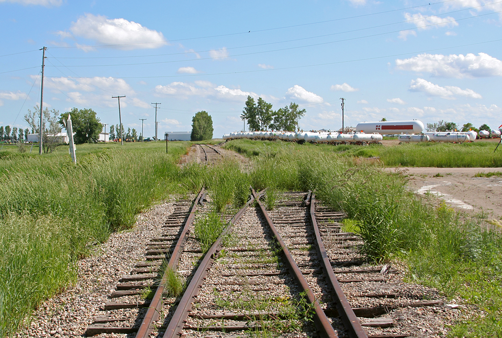
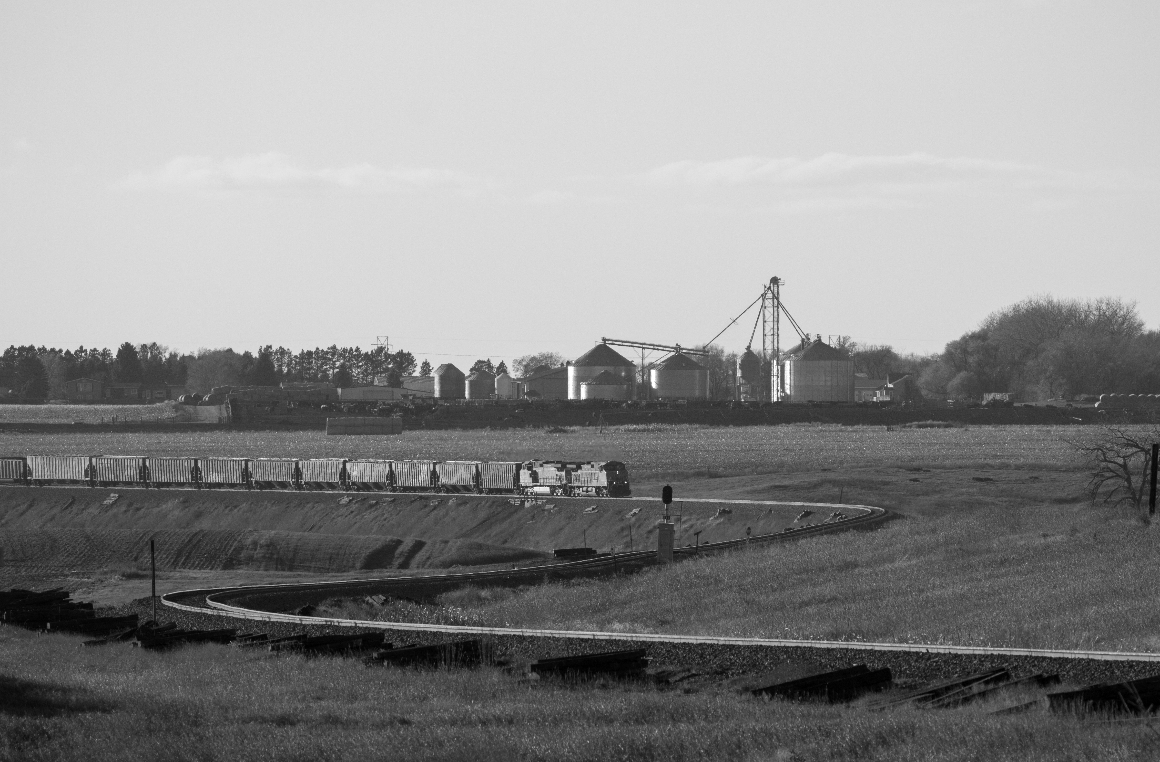
Midland Continental Reminders - Wimbledon
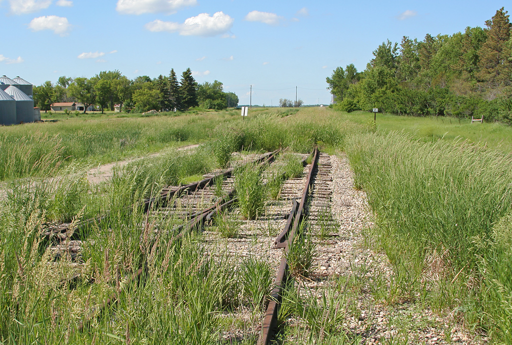
Midland Continental Reminders - Wimbledon

Sun pillar over the Jamestown Reservoir

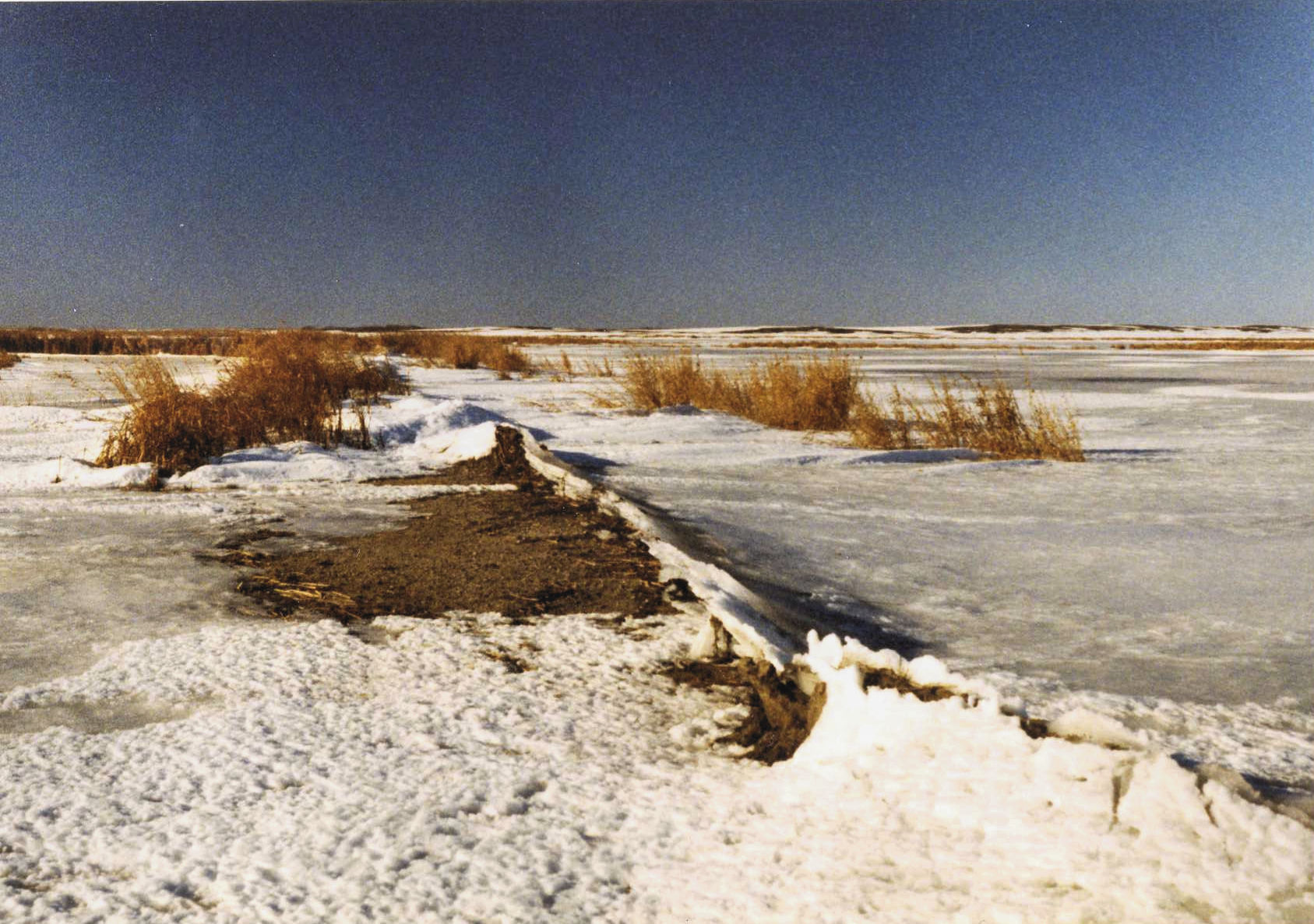
Off shore

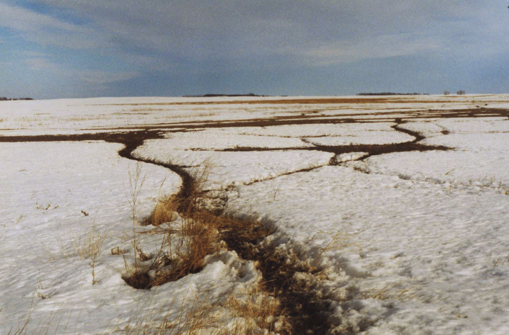
Lake edge

The Lake

Sunset over the Jamestown Reservoir
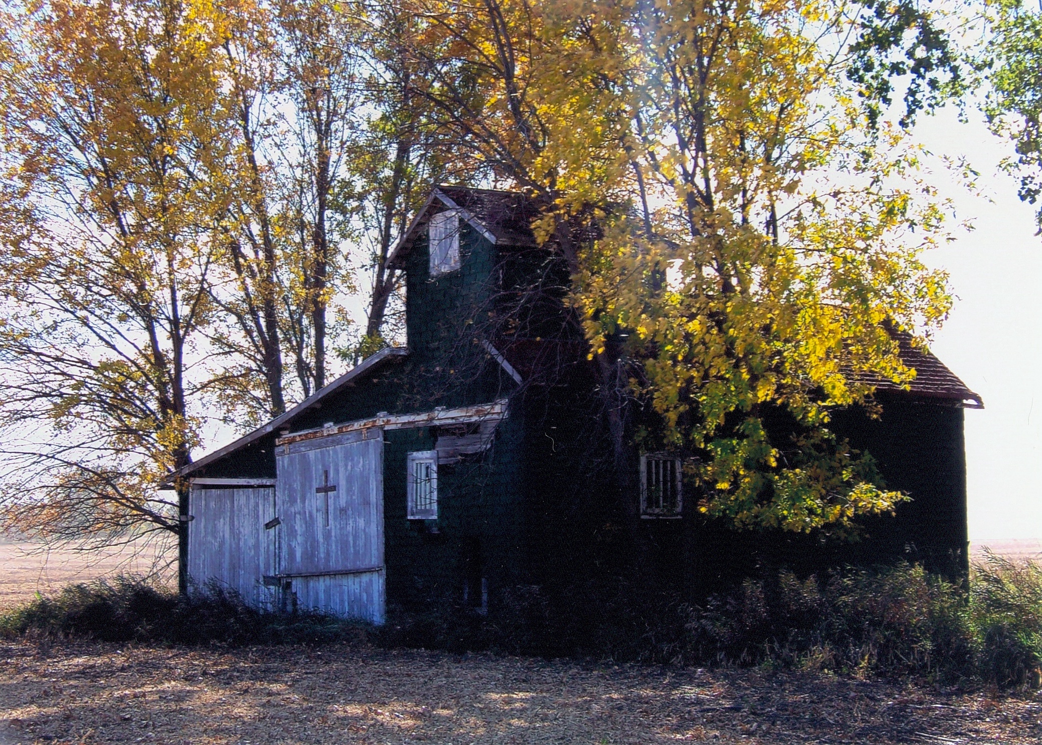
Fall Splendor 1mi SW of Wimbledon, ND
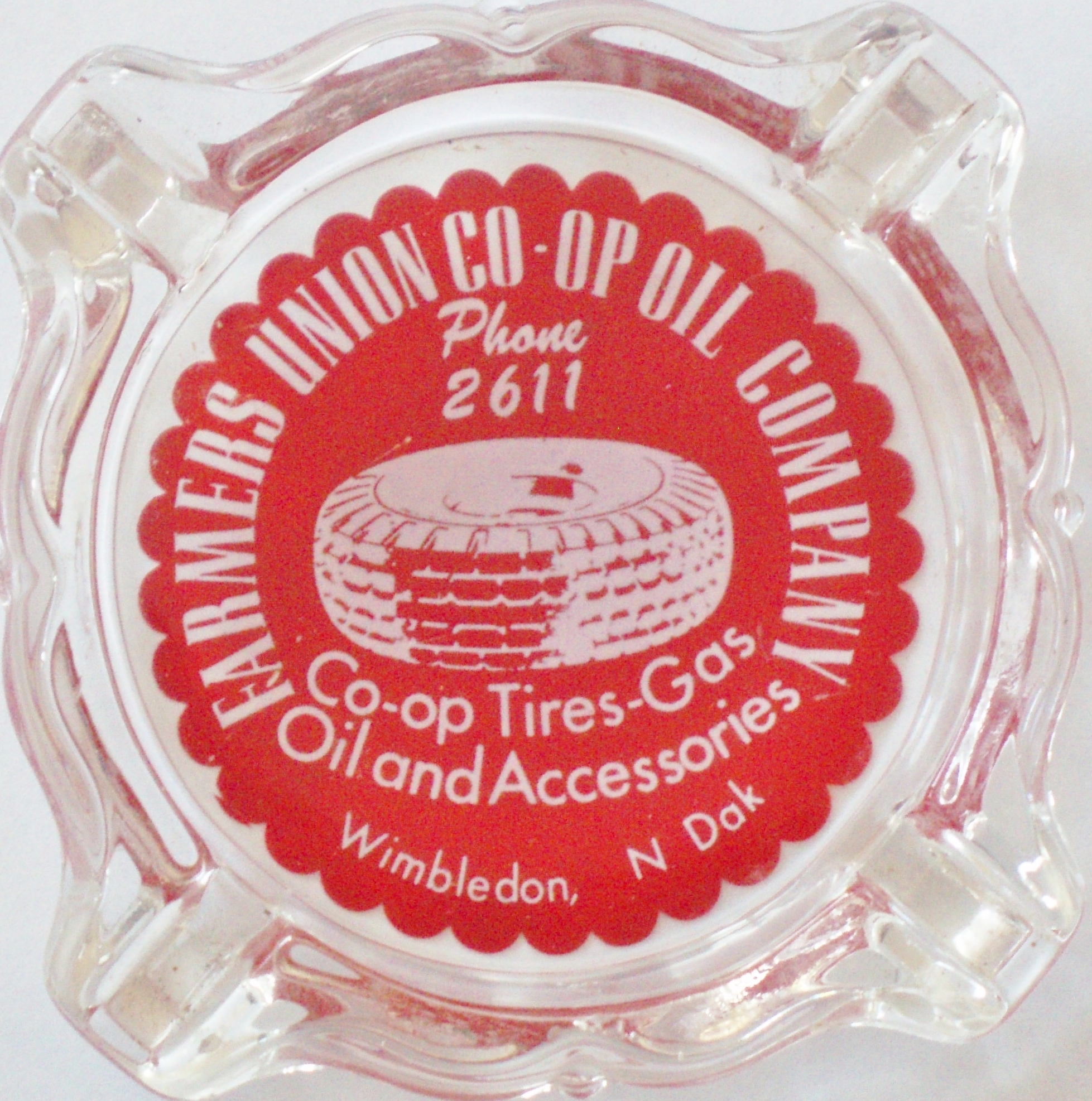
FARMERS UNION CO-OP OIL CO. 221 3RD. AVE. N. WIMBLEDON N. DAK.

IMG_1999 - Copy

IMG_2002 - Copy

IMG_2003 - Copy
BNSF 1104

BNSF 1953

photo(2viw)

photo(h3eo)

photo(uhc2)

photo(1z6w)

Winter Road
CC-43
CC-42
Topographic Map of E Lake County Rd, Wimbledon, ND, USA
Find elevation by address:

Places near E Lake County Rd, Wimbledon, ND, USA:
Gray
6 Nd-9
Wimbledon
Center St, Wimbledon, ND, USA
8919 Nd-9
3069 83 1/2 Ave Se
Jamestown
Ypsilanti
7647 24th St Se
Ypsilanti
Eldridge
Main Ave S, Eldridge, ND, USA
Eldridge
Hidden
Sutton
Stutsman County
Foster County
Weld
3312 61st Ave Se
3312 61st Ave Se
Recent Searches:
- Elevation of Kreuzburger Weg 13, Düsseldorf, Germany
- Elevation of Gateway Blvd SE, Canton, OH, USA
- Elevation of East W.T. Harris Boulevard, E W.T. Harris Blvd, Charlotte, NC, USA
- Elevation of West Sugar Creek, Charlotte, NC, USA
- Elevation of Wayland, NY, USA
- Elevation of Steadfast Ct, Daphne, AL, USA
- Elevation of Lagasgasan, X+CQH, Tiaong, Quezon, Philippines
- Elevation of Rojo Ct, Atascadero, CA, USA
- Elevation of Flagstaff Drive, Flagstaff Dr, North Carolina, USA
- Elevation of Avery Ln, Lakeland, FL, USA