Elevation of Main St E, Valley City, ND, USA
Longitude: -98.000467
Latitude: 46.9231432
Elevation: -10000m / -32808feet
Barometric Pressure: 295KPa
Elevation Map:
Satellite Map:
Related Photos:

Not Headed Home Yet

Jamestown Local

Hi Line

apr08-16
apr08-23

DSC_8895-Pano

DSC_8894-Pano
DSC_8918 (Copy)

apr08-20

apr08-22

apr08-19

apr08-21

apr08-24

BNSF 9899 Valley City

BNSF 5226

CP 5926 Valley City

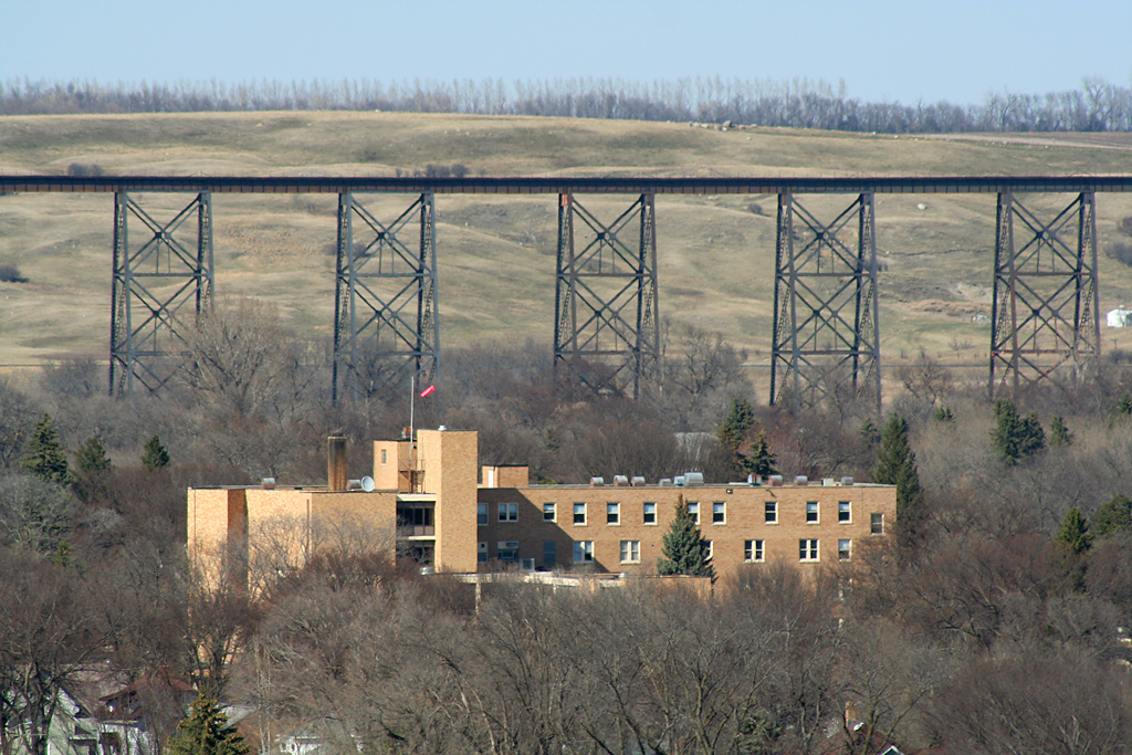
Valley City

Valley City

CP 9778 & BNSF 9880

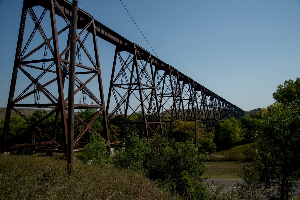
The (rail)road goes on forever

CEFX 1045

CP 8781

CP 5946
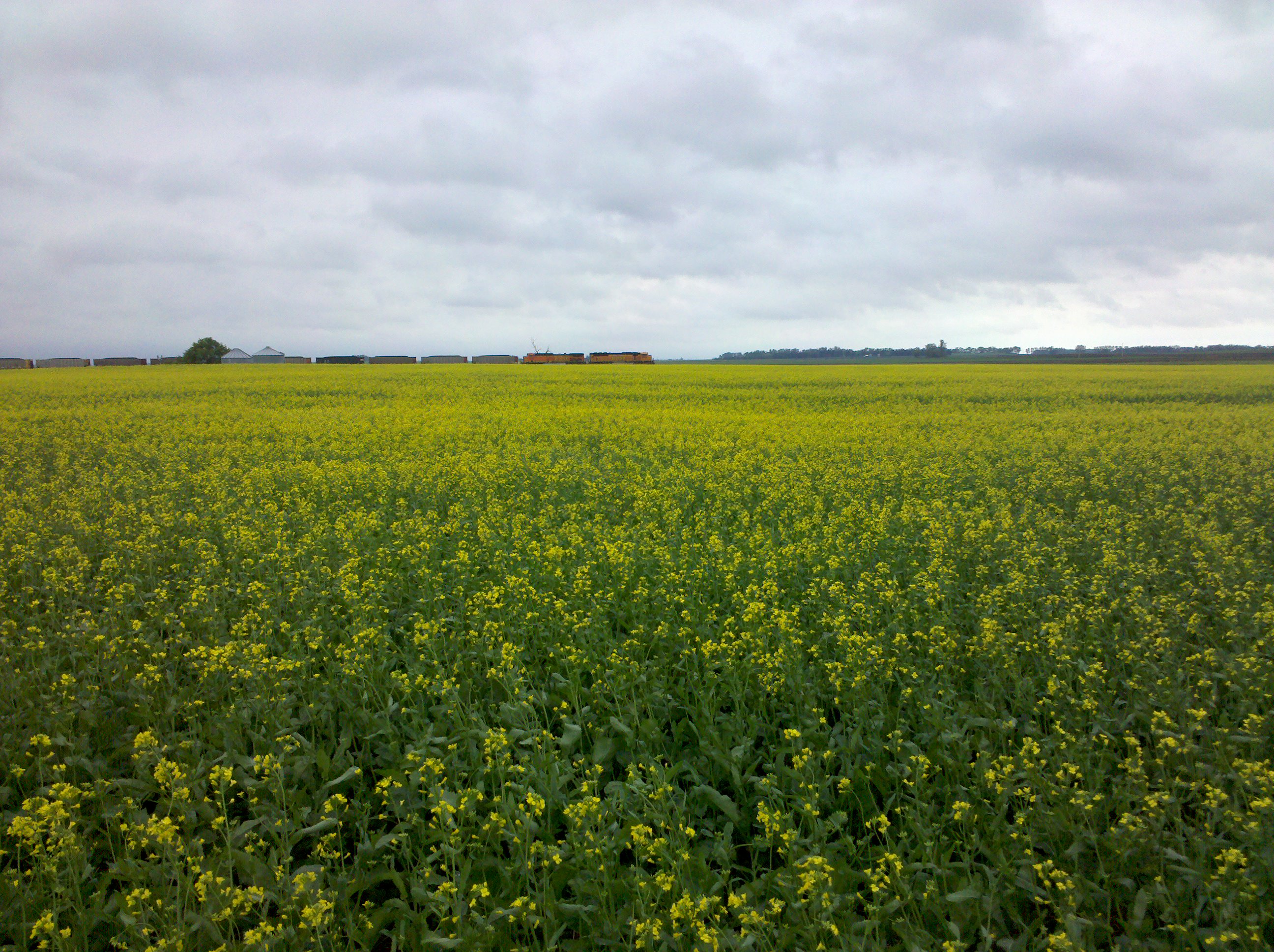
A field and a train

BNSF 6003

DME 6081
CSXT 7550

CP 8840

BNSF 8751

BNSF 5516

BNSF 9844
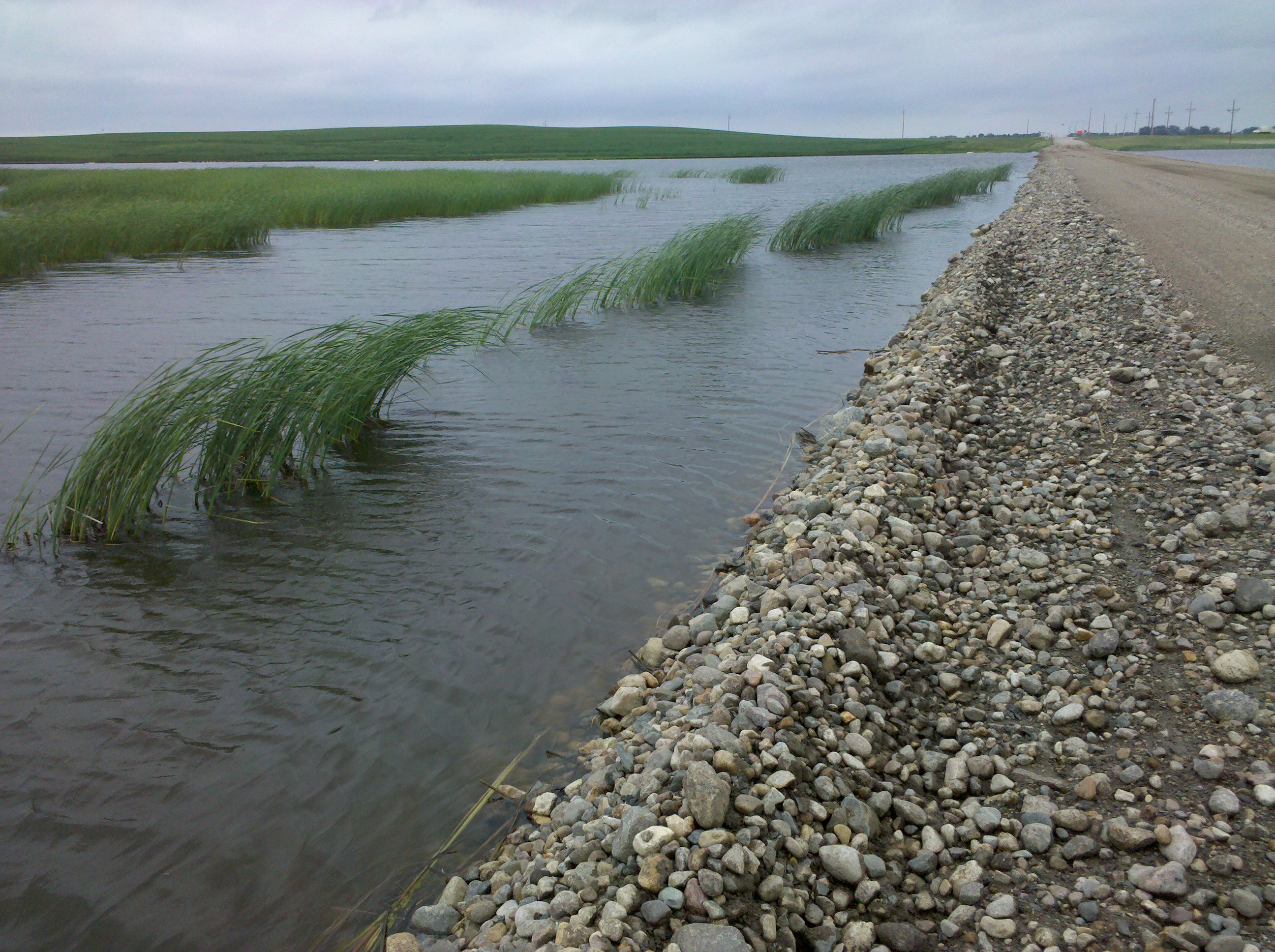
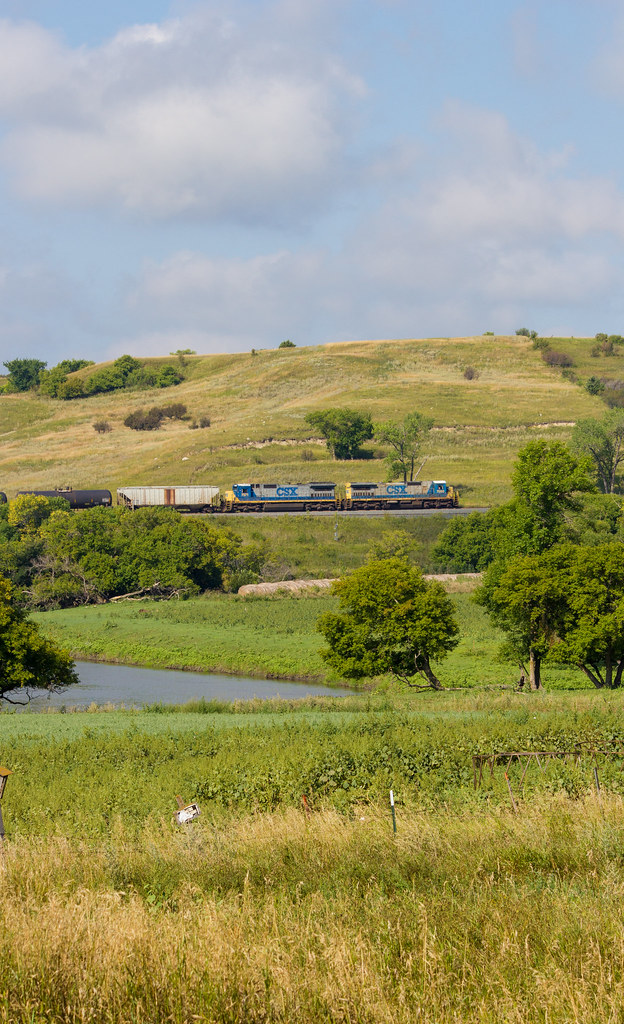
Crossing a lake

Oriska, North Dakota
Topographic Map of Main St E, Valley City, ND, USA
Find elevation by address:

Places near Main St E, Valley City, ND, USA:
Valley City
Barnes County
3815 Nd-32
1st St, Rogers, ND, USA
Rogers
Thordenskjold
52nd St SE, Kathryn, ND, USA
Mill Rd, Fort Ransom, ND, USA
Buffalo
Marion
14005 34th St Se
14008 40th St Se
3510 142nd Ave Se
Buffalo
Ayr
Griggs County
Ransom County
Lisbon
1301 Main St
14578 26th St Se
Recent Searches:
- Elevation of Elwyn Dr, Roanoke Rapids, NC, USA
- Elevation of Congressional Dr, Stevensville, MD, USA
- Elevation of Bellview Rd, McLean, VA, USA
- Elevation of Stage Island Rd, Chatham, MA, USA
- Elevation of Shibuya Scramble Crossing, 21 Udagawacho, Shibuya City, Tokyo -, Japan
- Elevation of Jadagoniai, Kaunas District Municipality, Lithuania
- Elevation of Pagonija rock, Kranto 7-oji g. 8"N, Kaunas, Lithuania
- Elevation of Co Rd 87, Jamestown, CO, USA
- Elevation of Tenjo, Cundinamarca, Colombia
- Elevation of Côte-des-Neiges, Montreal, QC H4A 3J6, Canada