Elevation of Mill Rd, Fort Ransom, ND, USA
Location: United States > North Dakota >
Longitude: -97.929675
Latitude: 46.5258195
Elevation: 346m / 1135feet
Barometric Pressure: 97KPa
Elevation Map:
Satellite Map:
Related Photos:
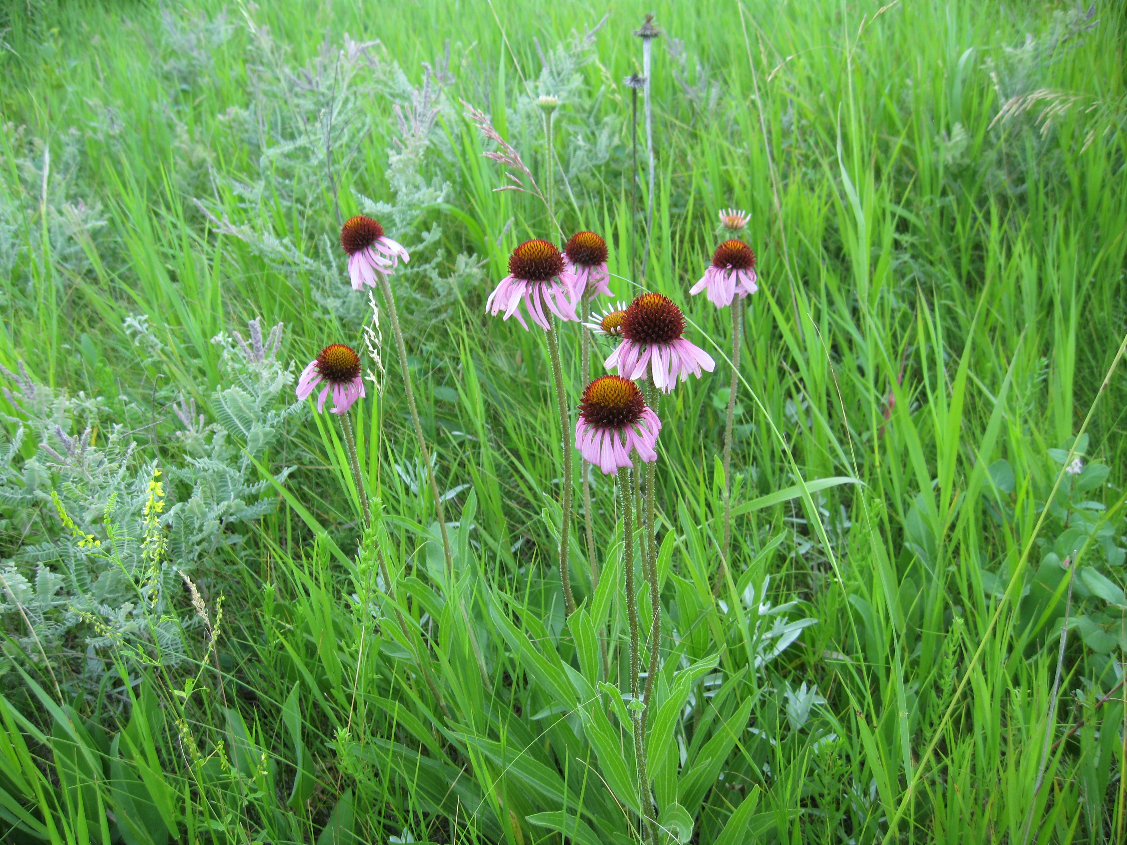
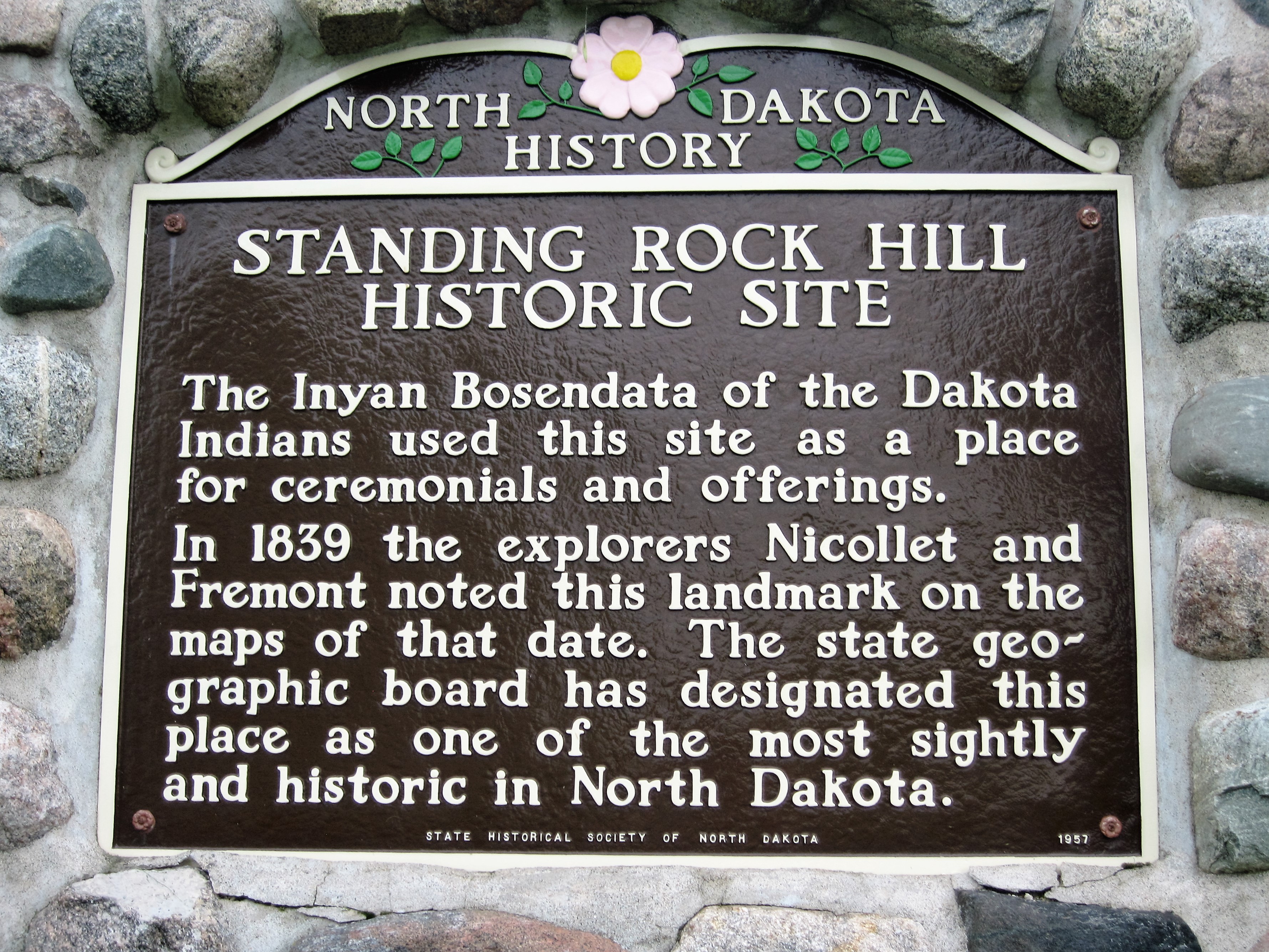
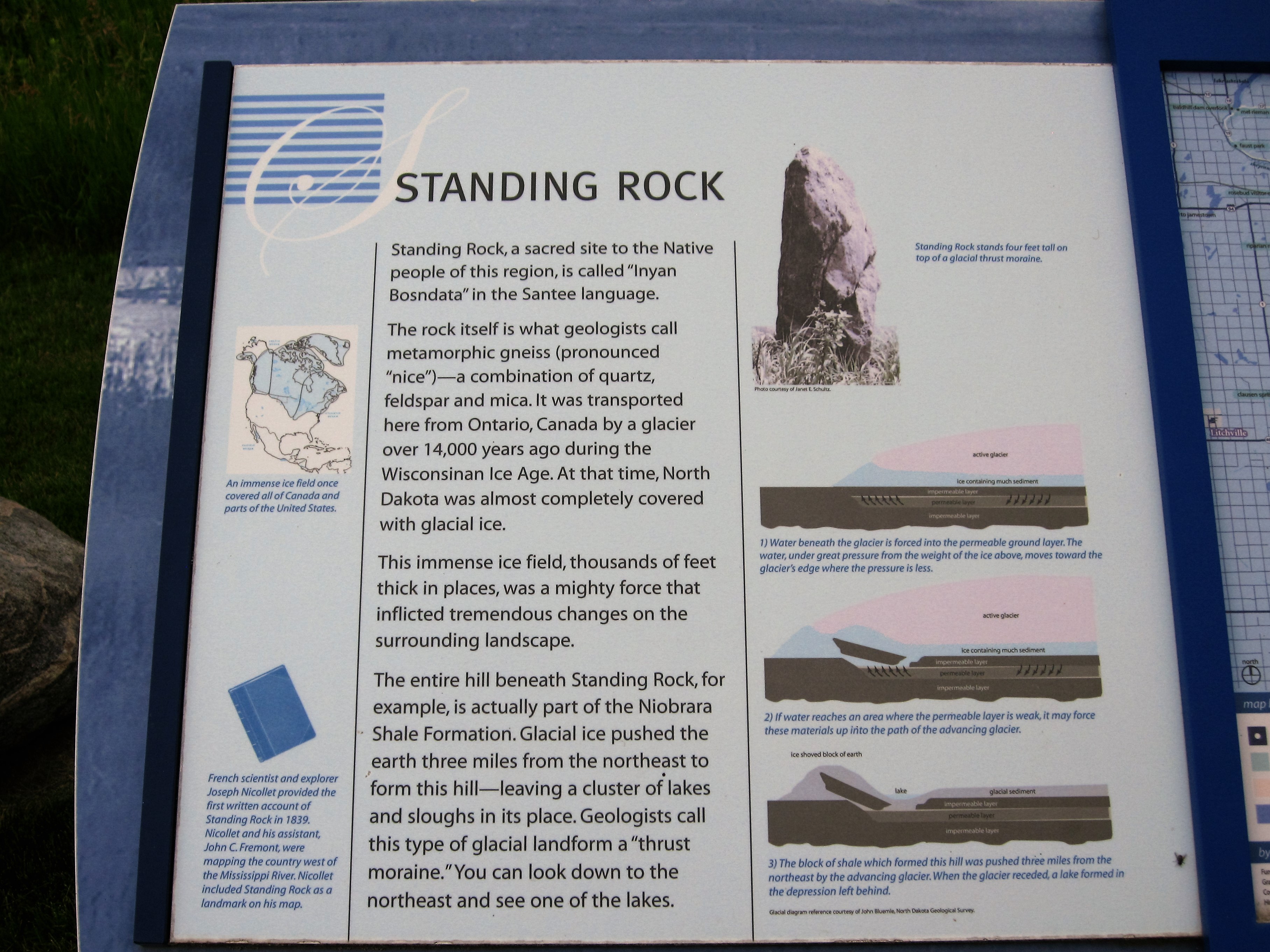
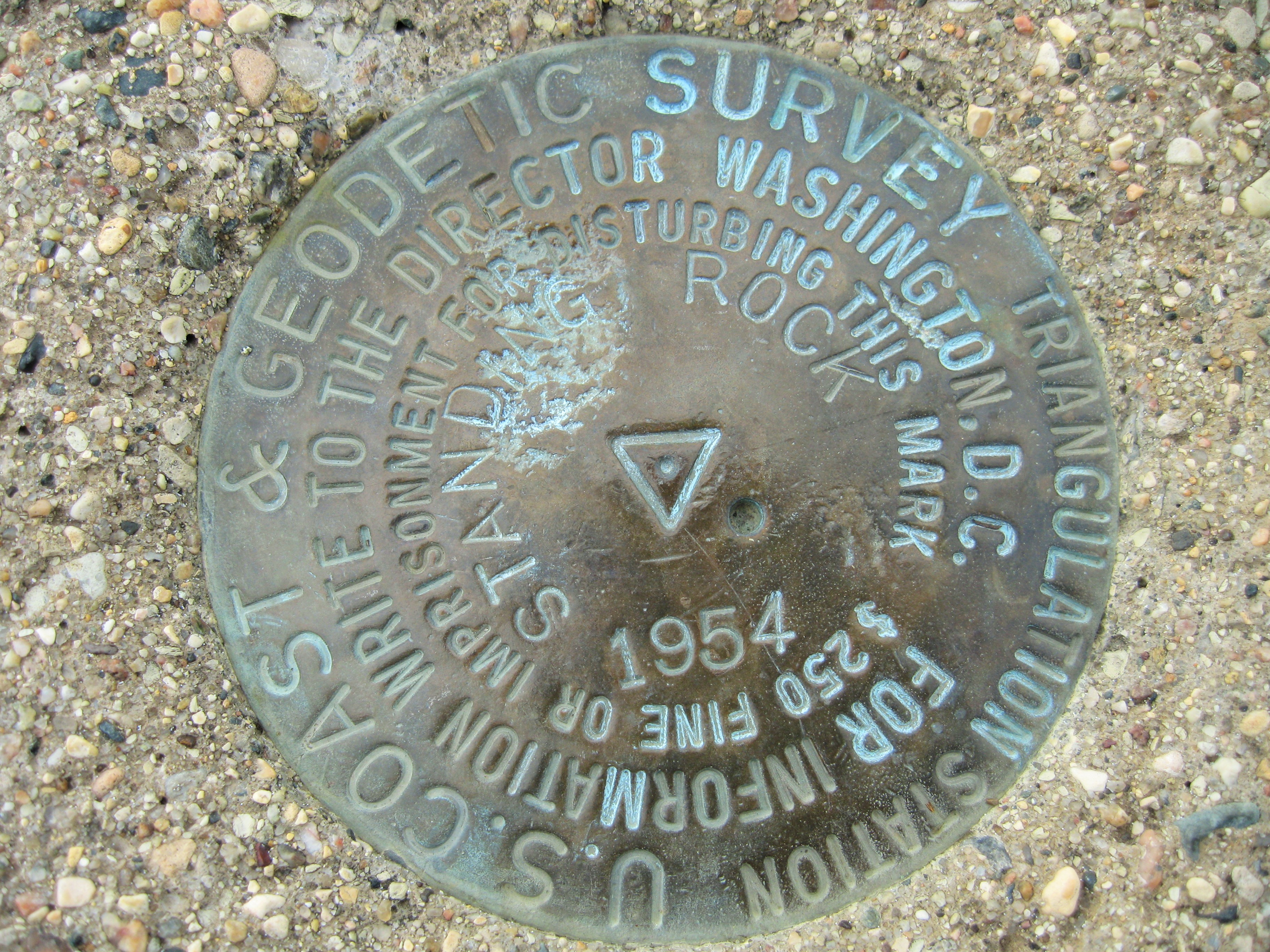
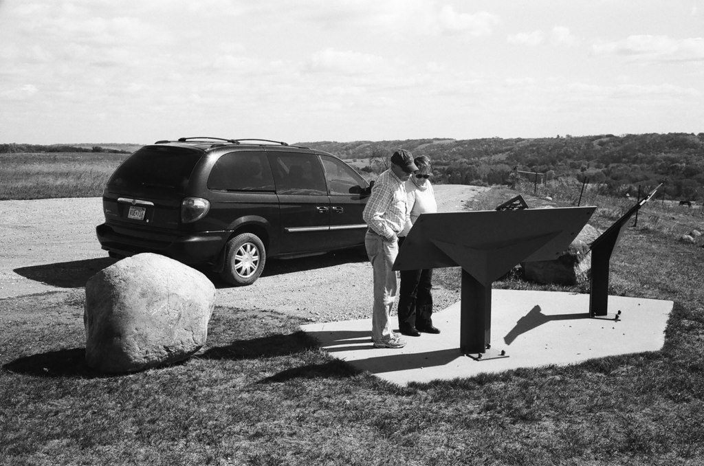
Standing Rock Hill, 2016_07_02
Standing Rock Hill, 2016_07_02
Standing Rock Hill, 2016_07_02
Standing Rock Hill, 2016_07_02

Standing Rock Hill, 2016_07_02
Sheyenne River Scenic Byway
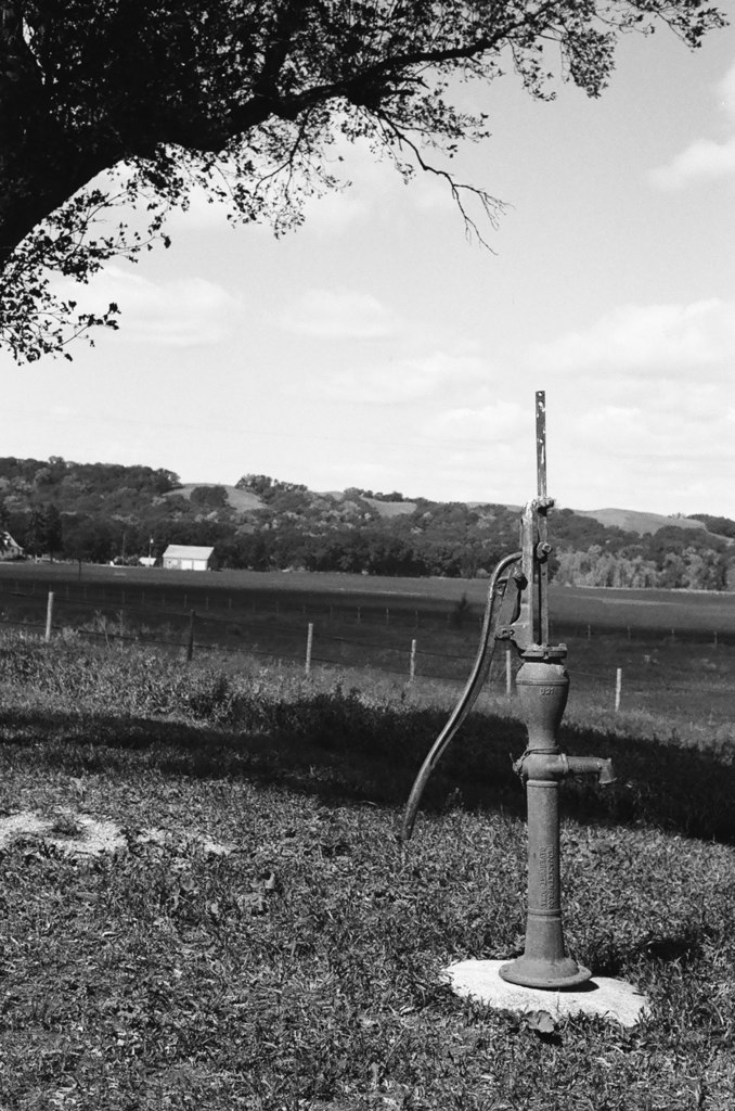
Slattum cabin pump
Preston Lutheran Church
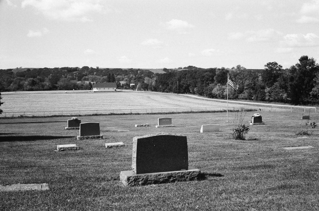
Preston Lutheran Church Cemetery

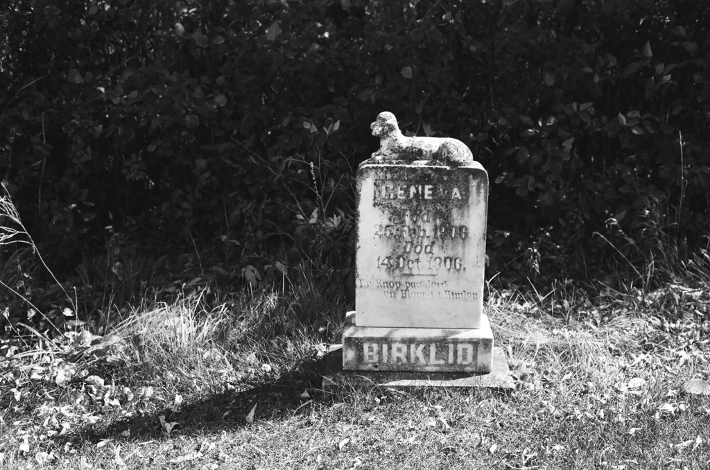
Mom, laughing in the graveyard
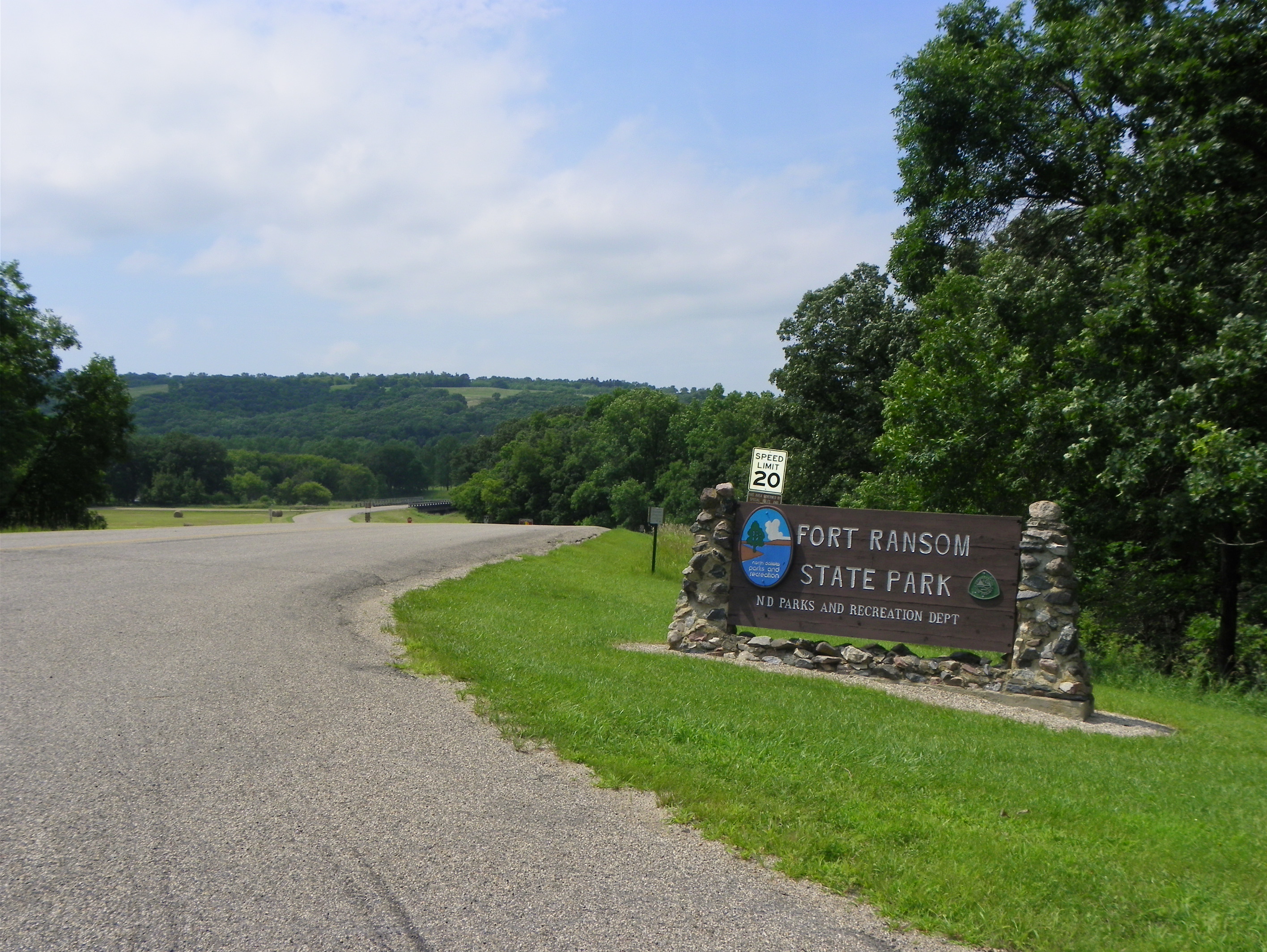
Fort Ransom State Park
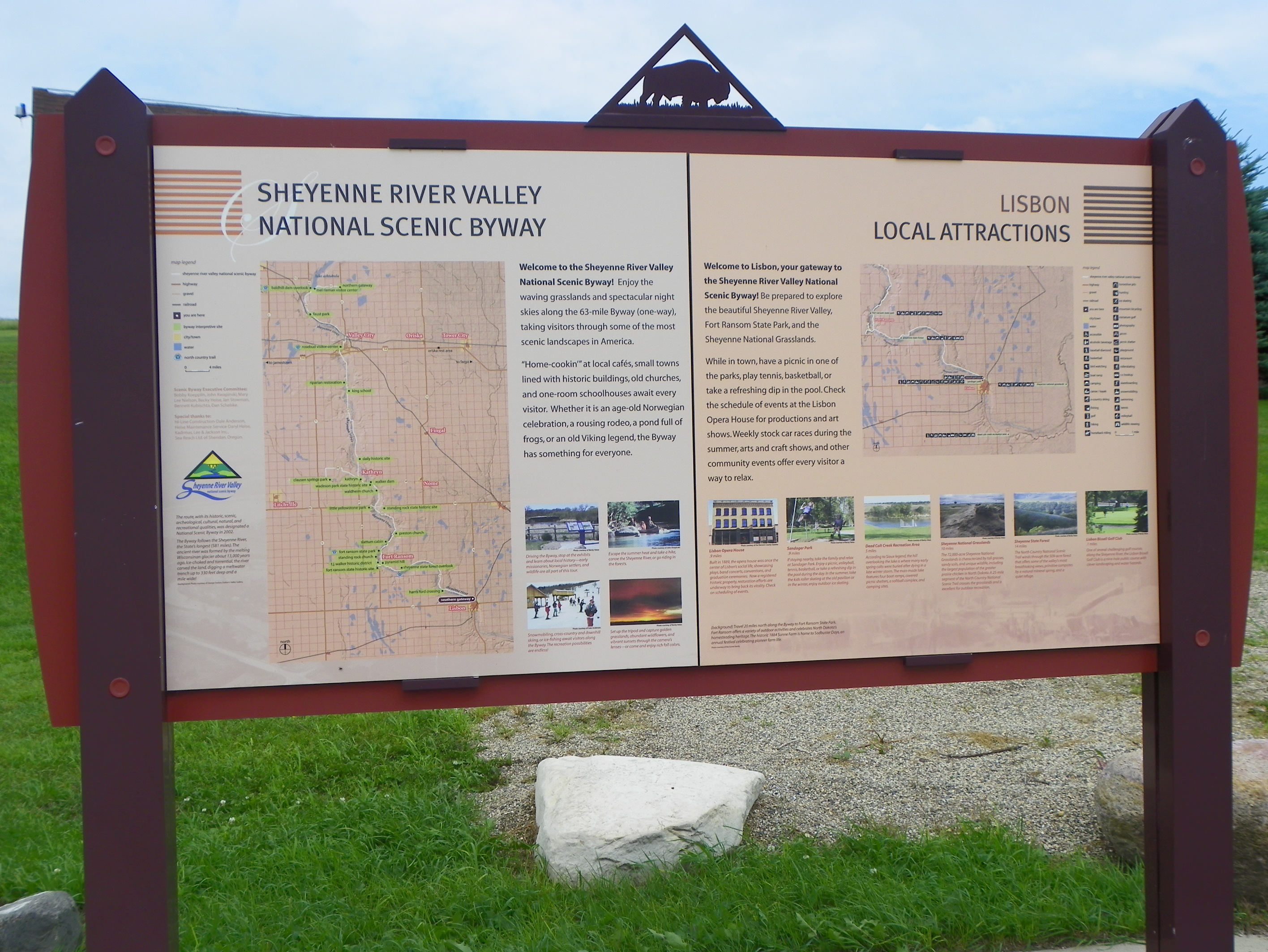
Sheyenne River Valley National Scenic Byway Sign

figure on pyramid hill, Ft Ransom ND
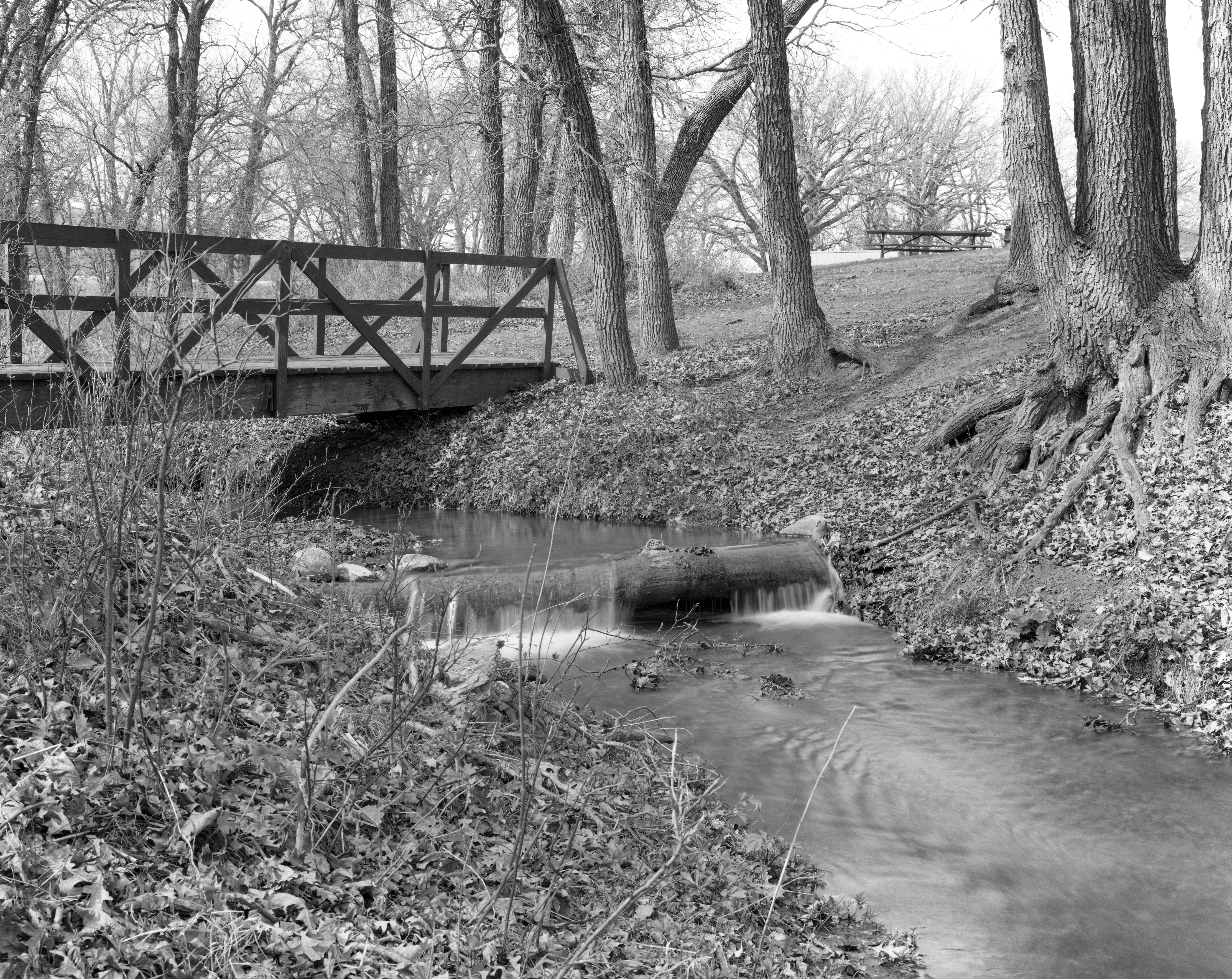
Little Yellowstone Park
Topographic Map of Mill Rd, Fort Ransom, ND, USA
Find elevation by address:

Places near Mill Rd, Fort Ransom, ND, USA:
52nd St SE, Kathryn, ND, USA
Thordenskjold
Lisbon
1301 Main St
Ransom County
3815 Nd-32
250 Main St E
Valley City
Marion
Sheldon
Barnes County
Greene Township
14008 40th St Se
Buffalo
14005 34th St Se
3510 142nd Ave Se
1st St, Rogers, ND, USA
Rogers
Buffalo
Ayr
Recent Searches:
- Elevation of Corso Fratelli Cairoli, 35, Macerata MC, Italy
- Elevation of Tallevast Rd, Sarasota, FL, USA
- Elevation of 4th St E, Sonoma, CA, USA
- Elevation of Black Hollow Rd, Pennsdale, PA, USA
- Elevation of Oakland Ave, Williamsport, PA, USA
- Elevation of Pedrógão Grande, Portugal
- Elevation of Klee Dr, Martinsburg, WV, USA
- Elevation of Via Roma, Pieranica CR, Italy
- Elevation of Tavkvetili Mountain, Georgia
- Elevation of Hartfords Bluff Cir, Mt Pleasant, SC, USA