Elevation of Sheldon, ND, USA
Location: United States > North Dakota > Ransom County > Greene Township >
Longitude: -97.491204
Latitude: 46.5858041
Elevation: 329m / 1079feet
Barometric Pressure: 97KPa
Elevation Map:
Satellite Map:
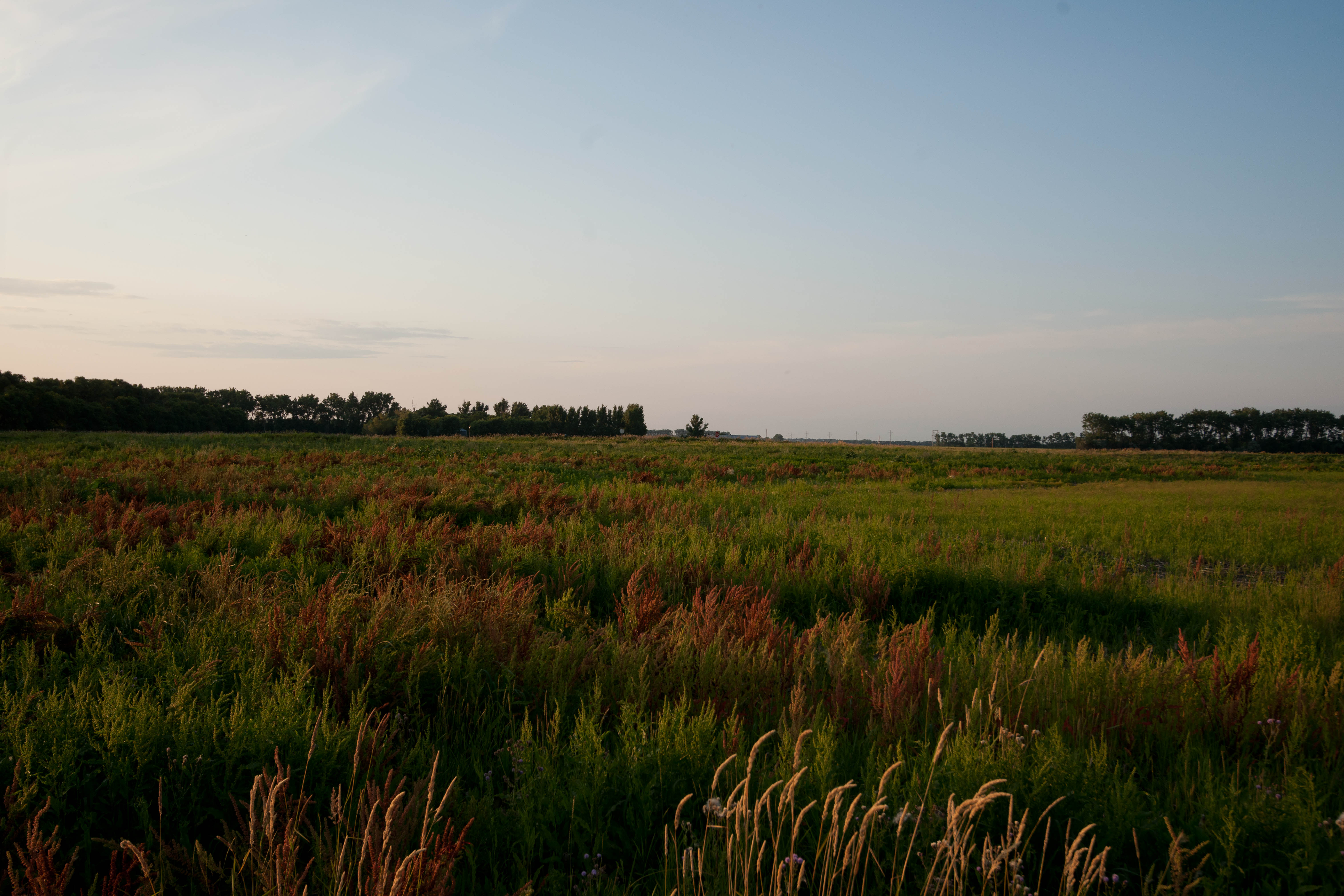
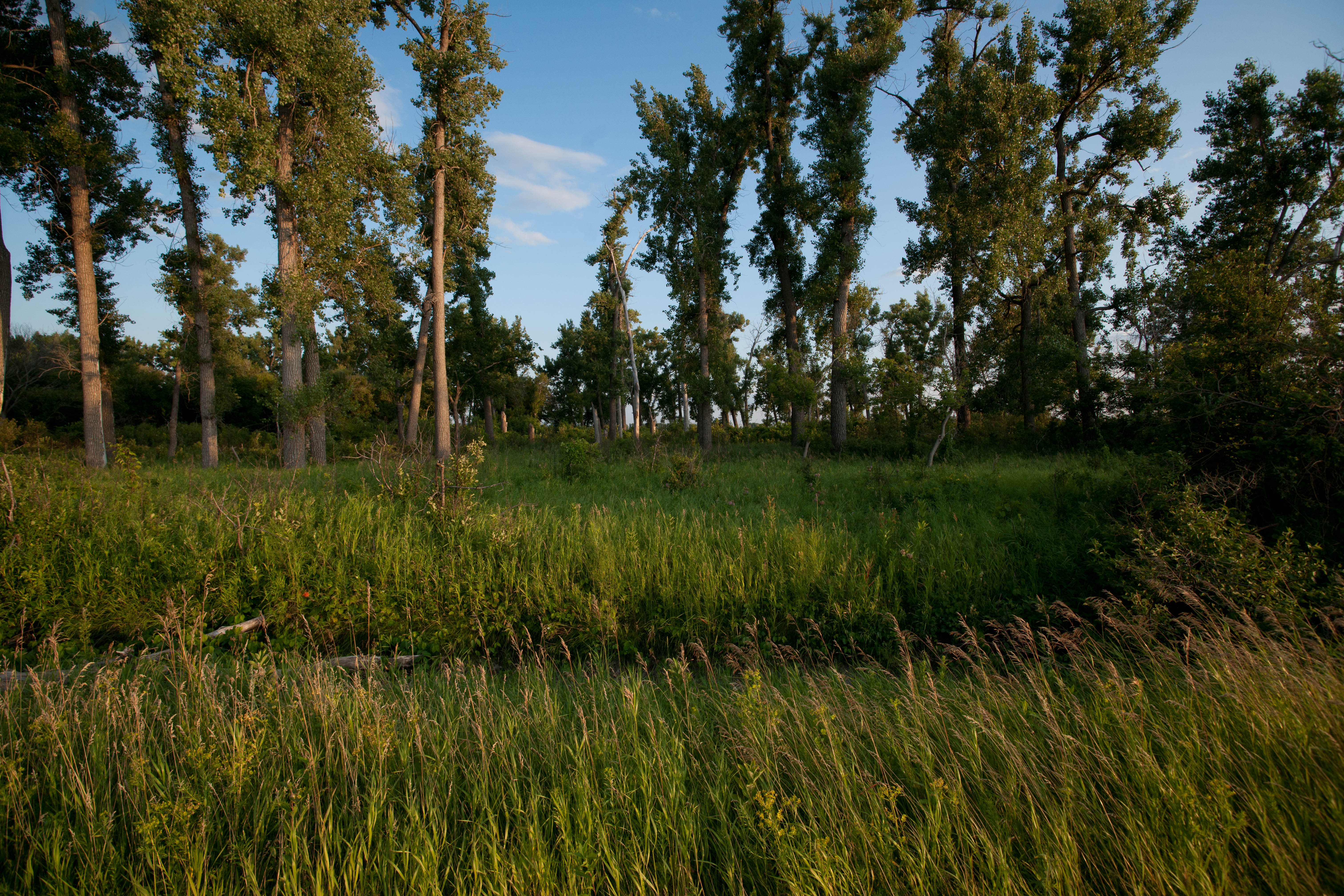
Related Photos:
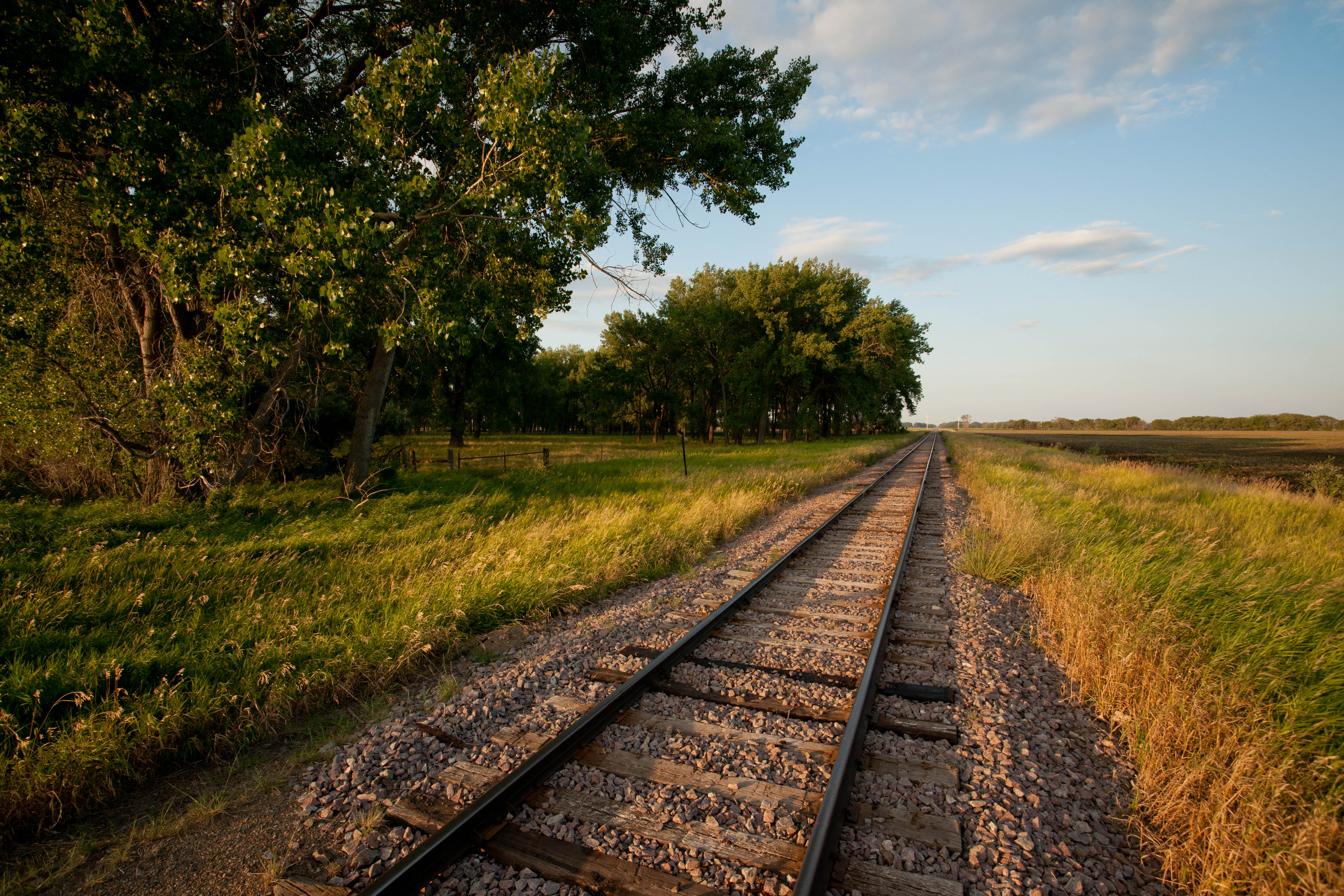
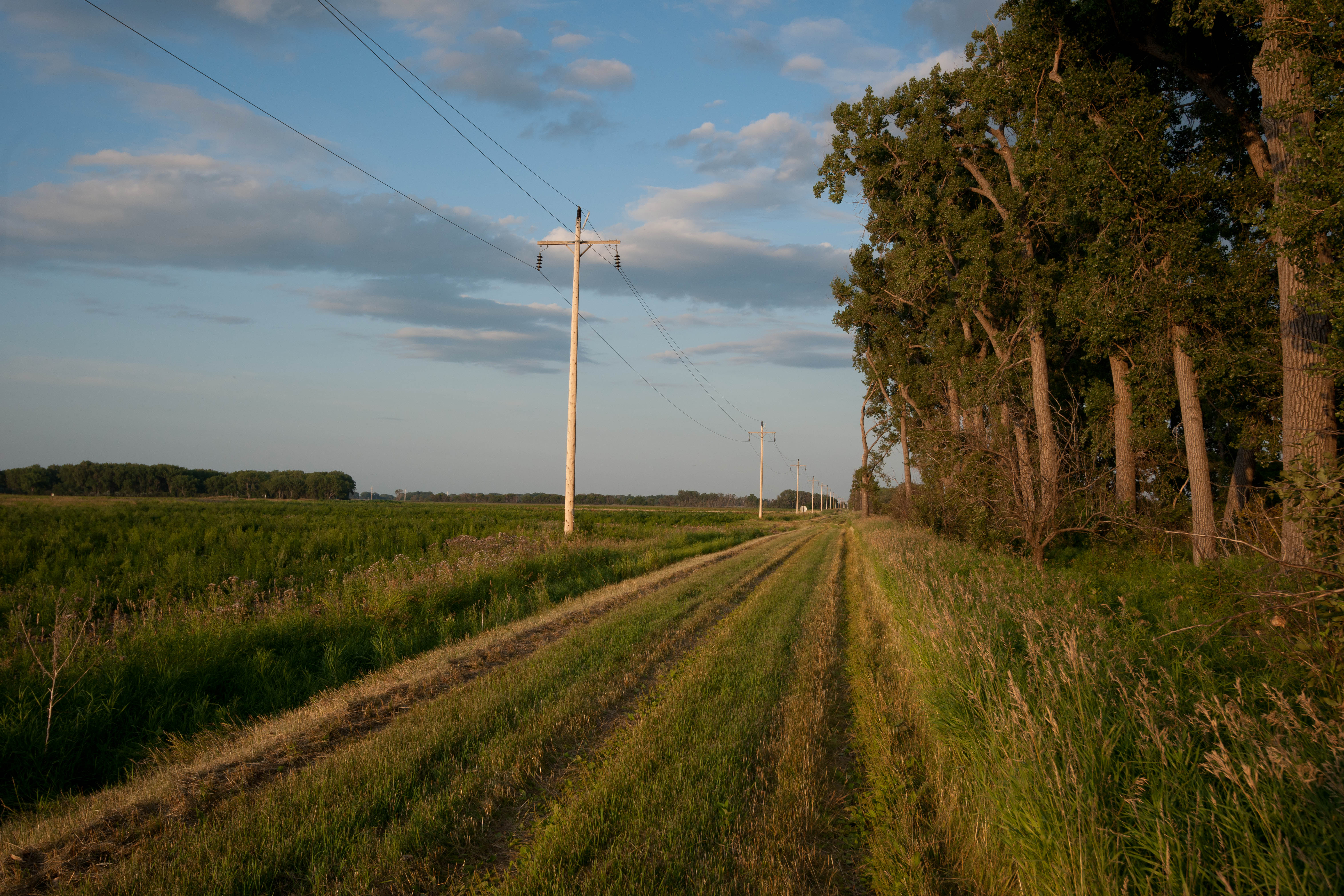
Coburn, North Dakota
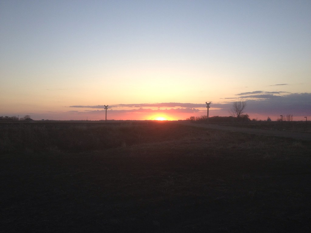
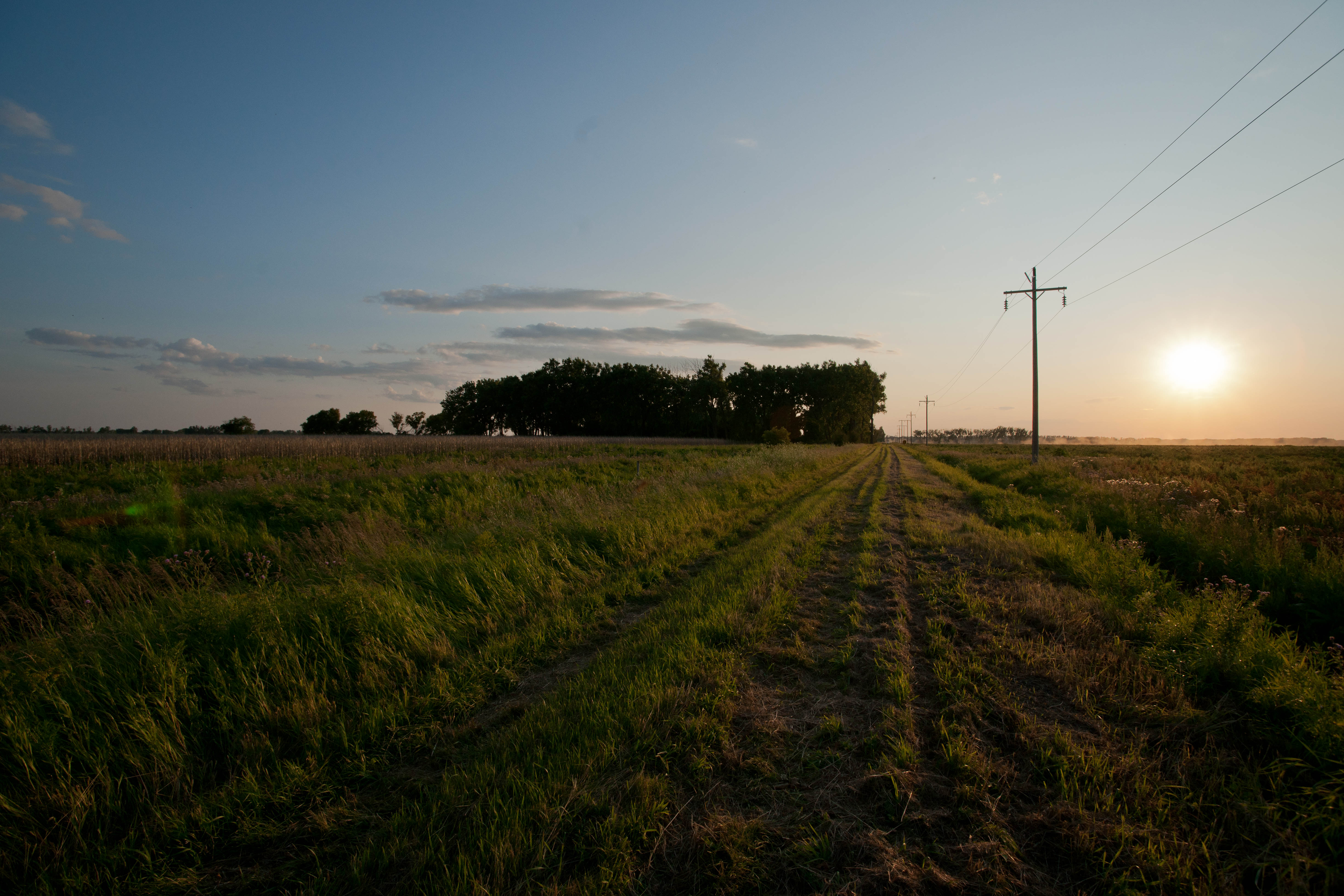
Last Rays

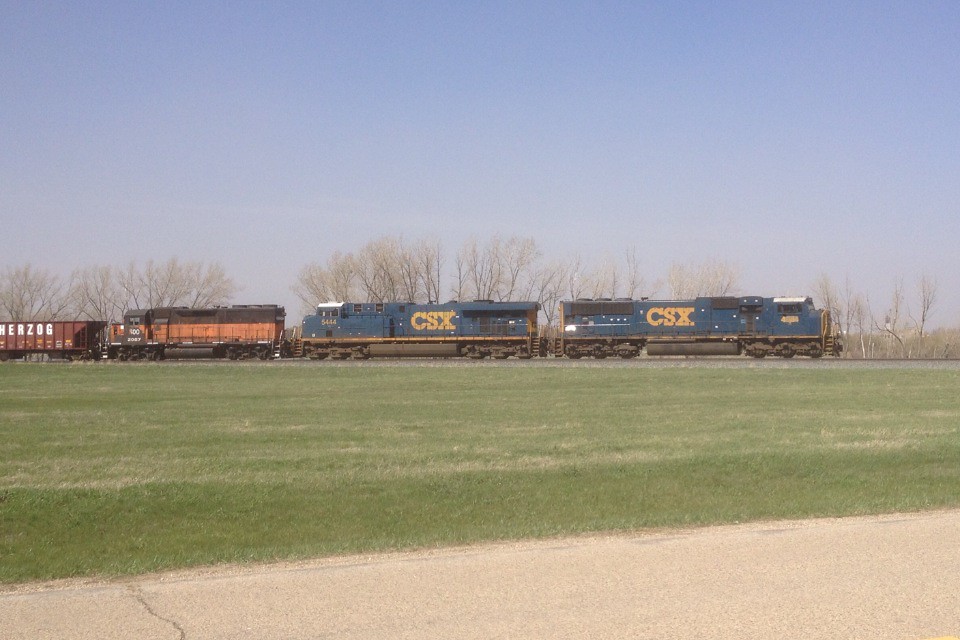
RRVW 41012
Coburn, North Dakota
688 Main to Siding
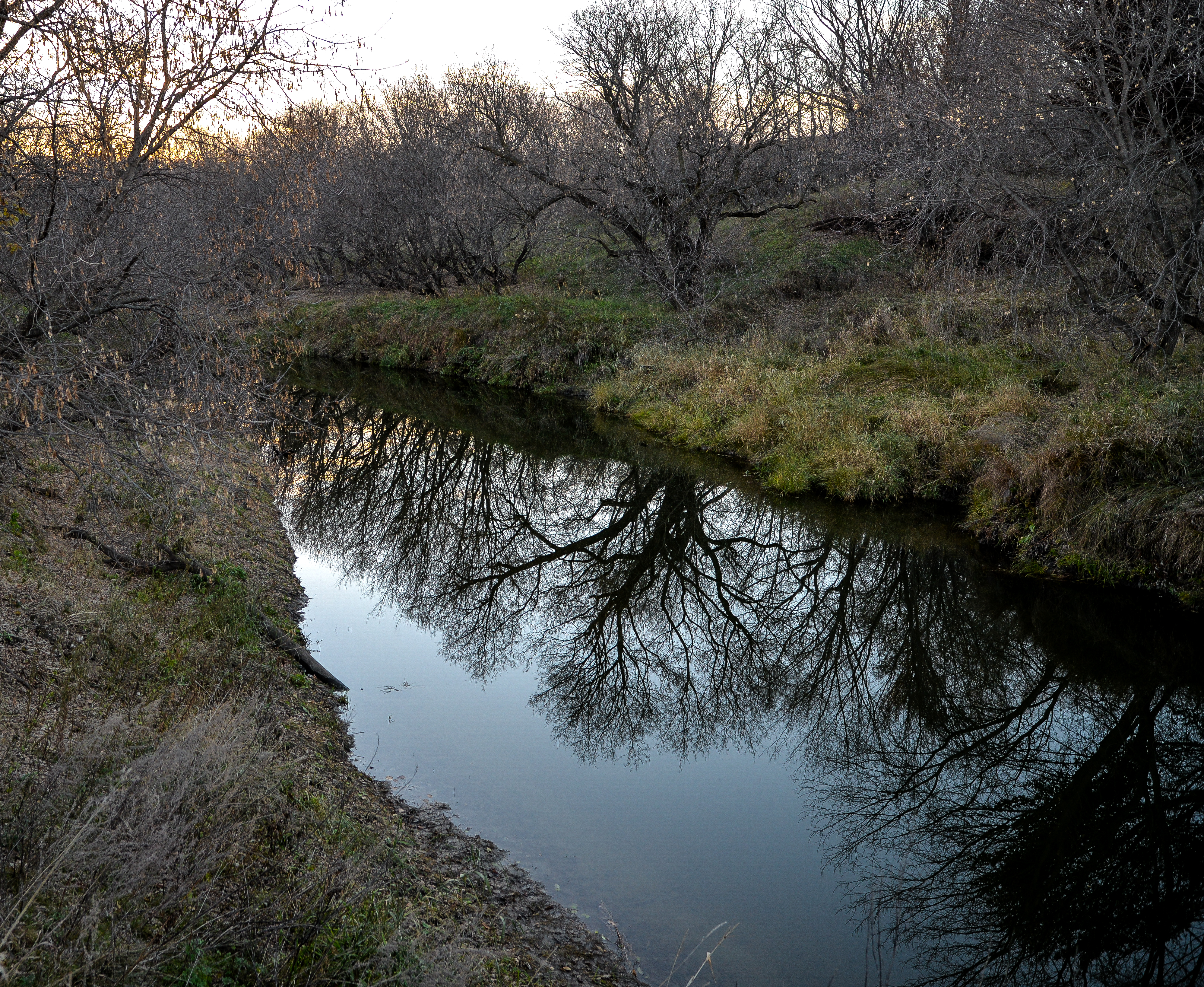
Maple River Reflections
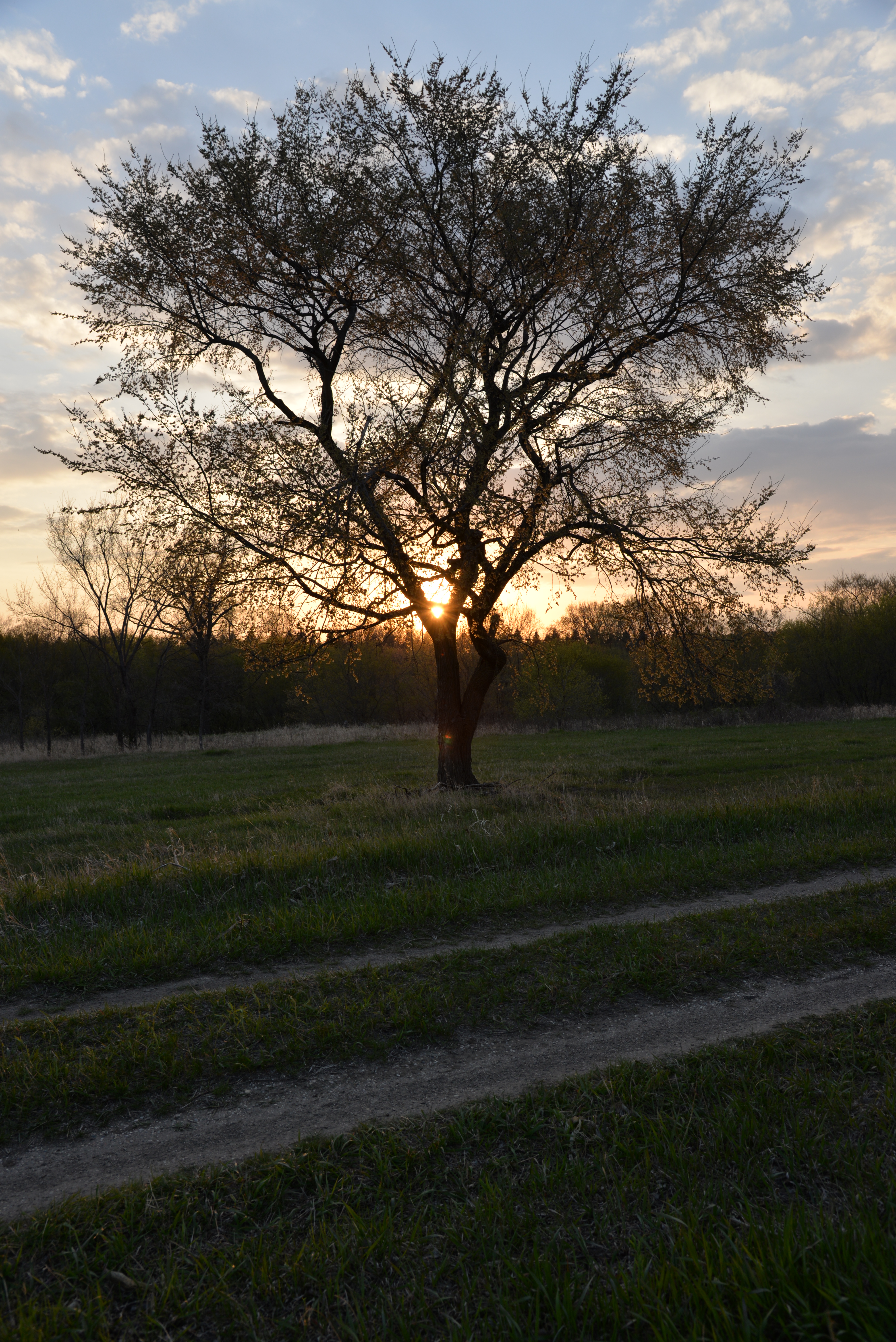
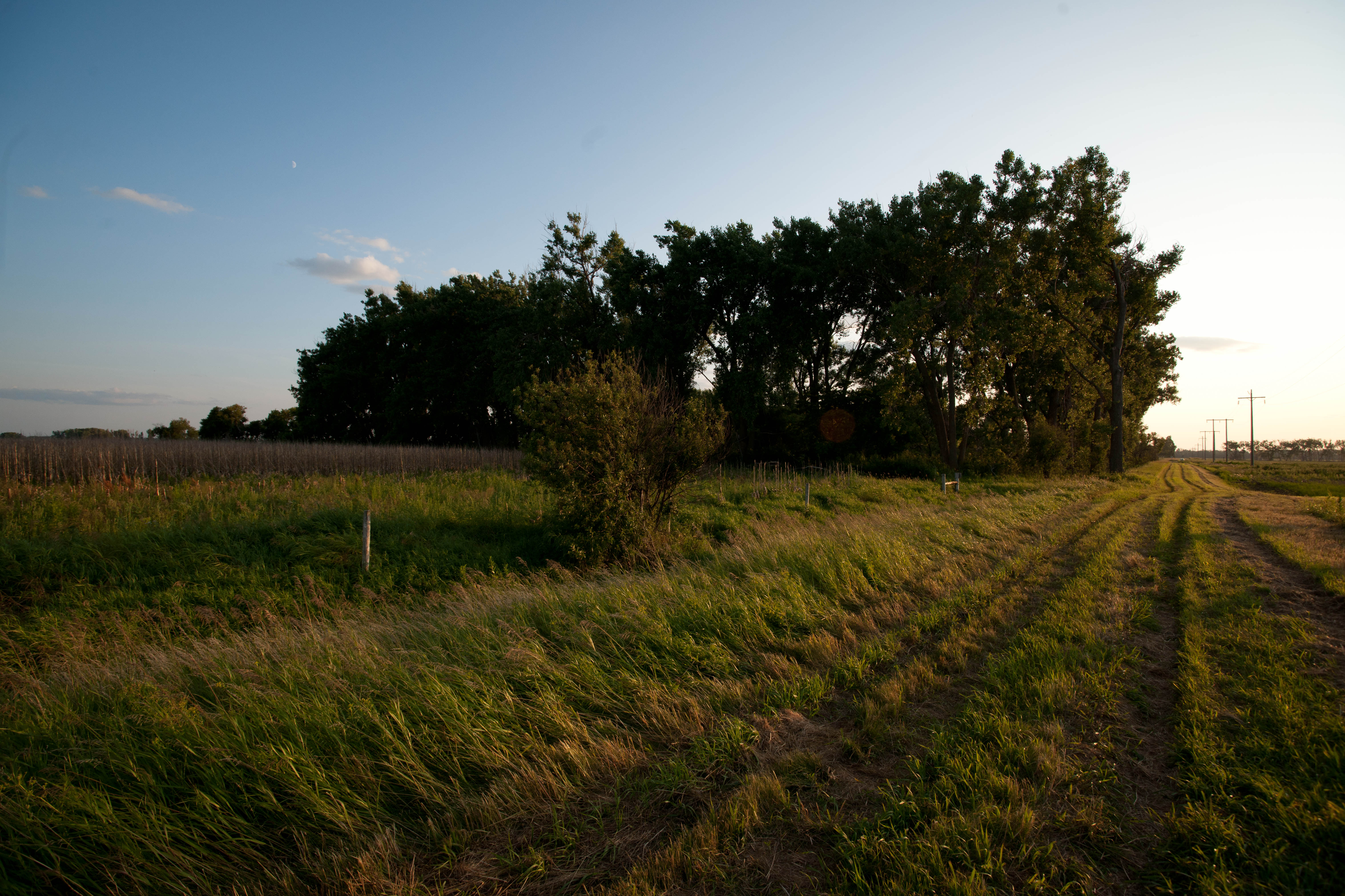
May Sunset in North Dakota
Coburn, North Dakota
Coburn, North Dakota
Coburn, North Dakota
Coburn, North Dakota
Topographic Map of Sheldon, ND, USA
Find elevation by address:

Places near Sheldon, ND, USA:
Greene Township
Ransom County
Lisbon
1301 Main St
14008 40th St Se
Leonard
Railroad Ave N, Leonard, ND, USA
Sheyenne
3510 142nd Ave Se
4159 154th Ave Se
Buffalo
14005 34th St Se
Buffalo
Everest
15916 45th St Se
3815 Nd-32
3766 156th Ave Se
3766 156th Ave Se
Durbin
52nd St SE, Kathryn, ND, USA
Recent Searches:
- Elevation of W Granada St, Tampa, FL, USA
- Elevation of Pykes Down, Ivybridge PL21 0BY, UK
- Elevation of Jalan Senandin, Lutong, Miri, Sarawak, Malaysia
- Elevation of Bilohirs'k
- Elevation of 30 Oak Lawn Dr, Barkhamsted, CT, USA
- Elevation of Luther Road, Luther Rd, Auburn, CA, USA
- Elevation of Unnamed Road, Respublika Severnaya Osetiya — Alaniya, Russia
- Elevation of Verkhny Fiagdon, North Ossetia–Alania Republic, Russia
- Elevation of F. Viola Hiway, San Rafael, Bulacan, Philippines
- Elevation of Herbage Dr, Gulfport, MS, USA