Elevation of Live Oak Rd, Red Bluff, CA, USA
Location: United States > California > Tehama County > Red Bluff >
Longitude: -122.34996
Latitude: 40.1451473
Elevation: 131m / 430feet
Barometric Pressure: 100KPa
Elevation Map:
Satellite Map:
Related Photos:

Double Take (State Theater Red Bluff)

No 1 Chinese Buffet

Stranger 3/100

Glass Eye photo show iPhone pano, Red Bluff CA

Riverside Bar and Grill

Gingerbread Victorian

Main and Walnut

The View

Date Night

Flowing Clouds Above Still Plains :: #northern #california #red #bluff #tehama #highway #36 #summer #beautiful #cloudscape #landscape #trees #shrubs #fields #grass #sharp #mountains #distance #amazing #blue #sky #clouds #iphoneonly #igers #instadaily

High plains drifter

Pretty numero 60

Country Landscape
Highway 36 Pastoral Landscape, California

The Minds Eye

Red Bluff Diversion Dam

Wait for it

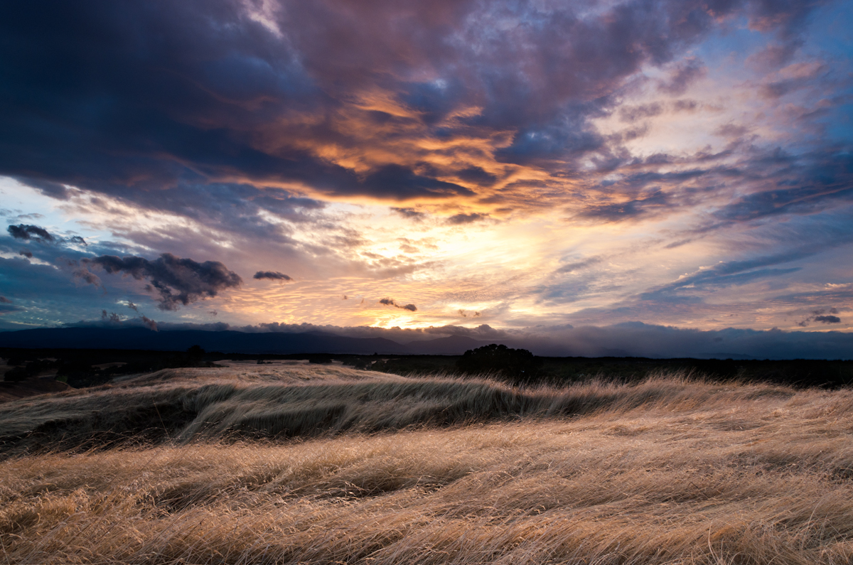
Red Bluff Sunset (Ive got a feeling)

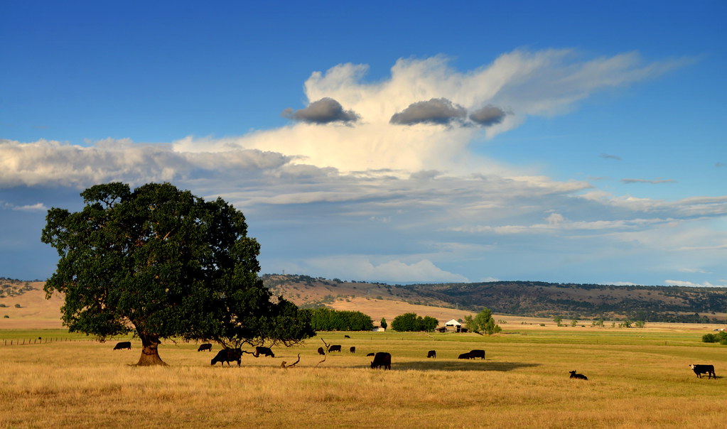
Oaks of Gold
Lost Memory

Alive, a Little Ways Off I-5 :: #36 #highway #redbluff #red #bluff #california #landscape #mountains #trees #fields #farmland #golden #beautiful #day #clouds #blue #vibrant #roadtrip #summer

Spring!
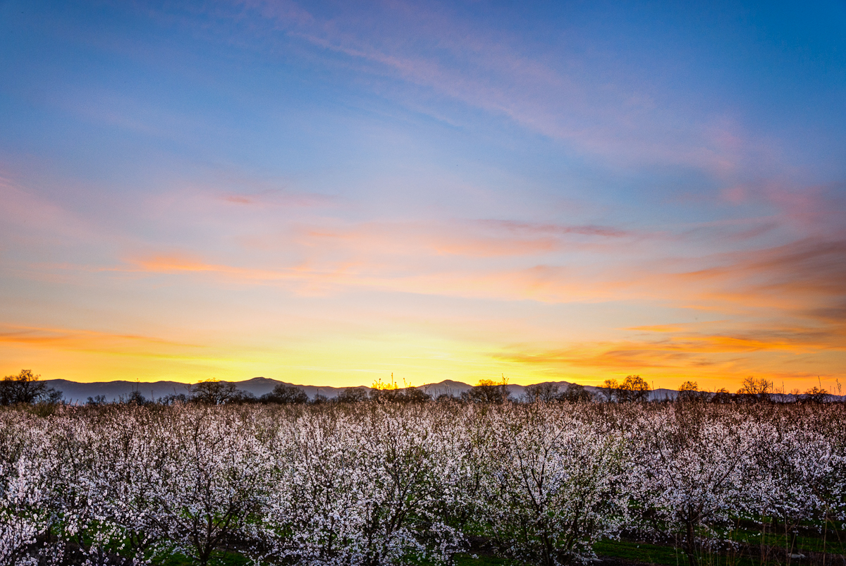
Almond Orchard Blossoms

Autumn Oaks (Potpourri)

A Photographer

Growing Fonder

Mt. Lassen

#4thOfJuly at #LakeSiskiyou
Topographic Map of Live Oak Rd, Red Bluff, CA, USA
Find elevation by address:

Places near Live Oak Rd, Red Bluff, CA, USA:
Red Bluff, CA, USA
Red Bank Rd, Red Bluff, CA, USA
16825 Benson Rd
17225 Dapple Gray Rd
Amador Court
Rancho Tehama Reserve
18440 Bella Oaks Dr
Colyer Springs Rd, Red Bluff, CA, USA
Vestal Rd, Red Bluff, CA, USA
Colyer Springs Rd, Red Bluff, CA, USA
Paskenta Rd, Corning, CA, USA
Flournoy
15530 Paskenta Rd
3243 Ponder Way
16622 Gas Point Rd
3035 Ponder Way
Pryor Rd, Red Bluff, CA, USA
High Flats Road
Vestal Road
5073 Nippy Ln
Recent Searches:
- Elevation of Lampiasi St, Sarasota, FL, USA
- Elevation of Elwyn Dr, Roanoke Rapids, NC, USA
- Elevation of Congressional Dr, Stevensville, MD, USA
- Elevation of Bellview Rd, McLean, VA, USA
- Elevation of Stage Island Rd, Chatham, MA, USA
- Elevation of Shibuya Scramble Crossing, 21 Udagawacho, Shibuya City, Tokyo -, Japan
- Elevation of Jadagoniai, Kaunas District Municipality, Lithuania
- Elevation of Pagonija rock, Kranto 7-oji g. 8"N, Kaunas, Lithuania
- Elevation of Co Rd 87, Jamestown, CO, USA
- Elevation of Tenjo, Cundinamarca, Colombia