Elevation of Ponder Way, Cottonwood, CA, USA
Location: United States > California > Shasta County > Cottonwood >
Longitude: -122.44886
Latitude: 40.380534
Elevation: 160m / 525feet
Barometric Pressure: 99KPa
Elevation Map:
Satellite Map:
Related Photos:
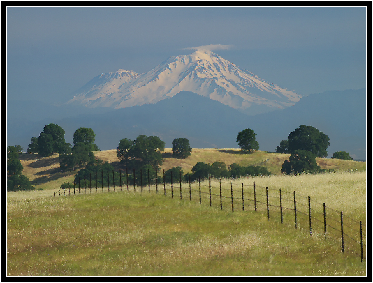
Mount Shasta - A Telephoto Landscape
Whatever it Takes
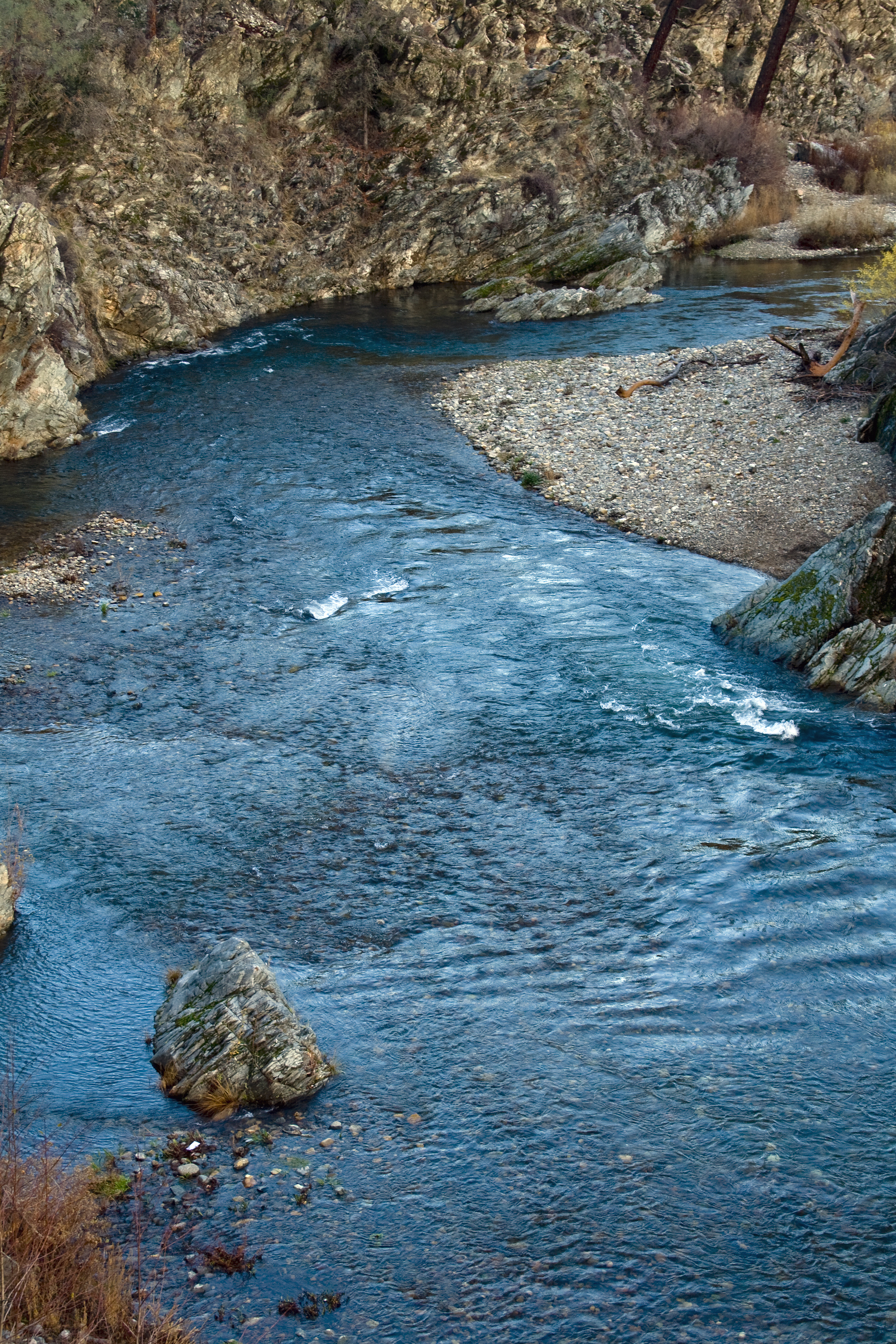
2/365 - Clear Creek
Going Nowhere

Together Again

View of mom's house as I left. #theknottyknitter
Clear Creek

Devious Pines
Clear Creek
Beautiful Ending
Colors of Piety Falls
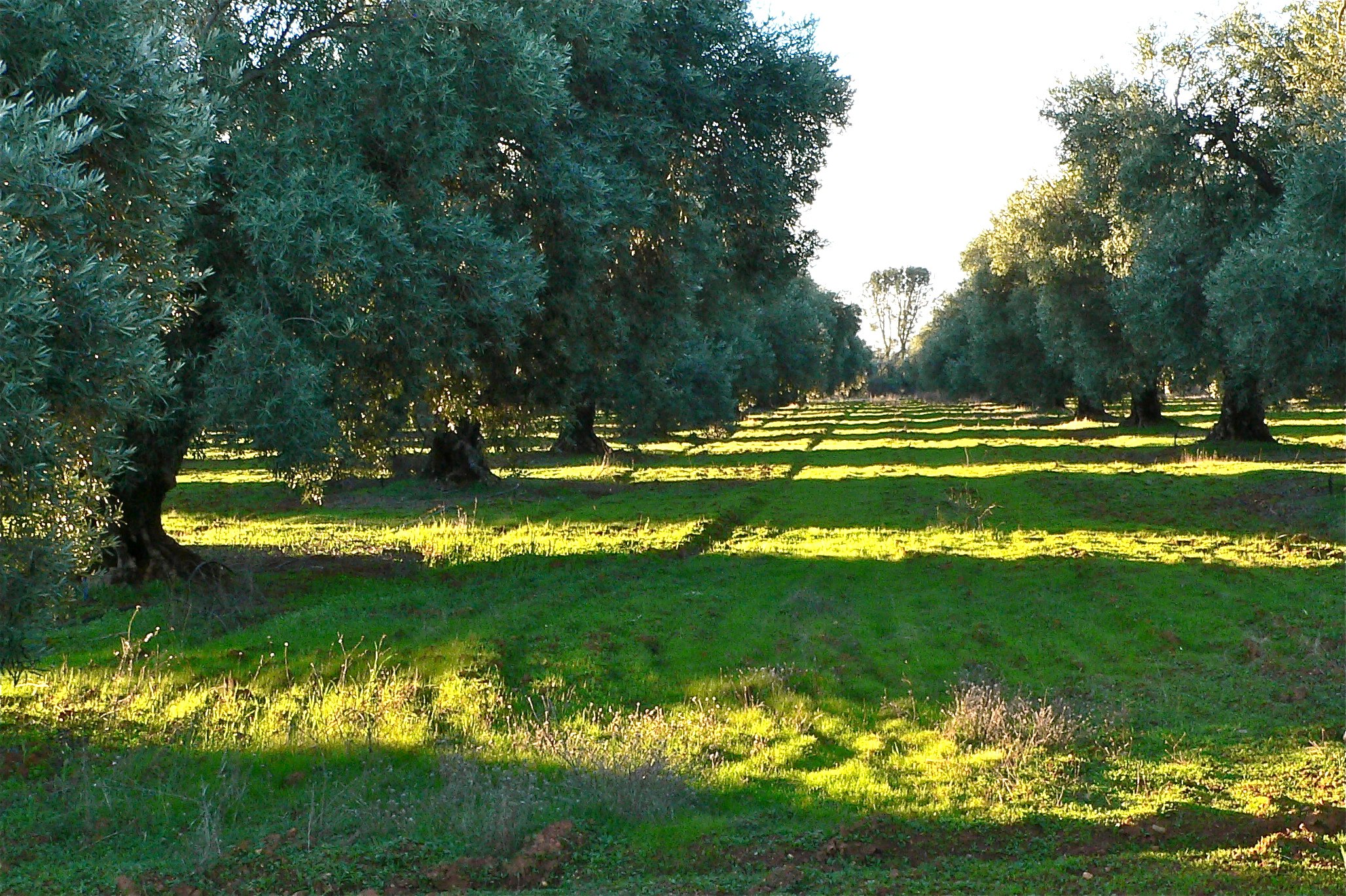
ROWS OF SUNLIGHT
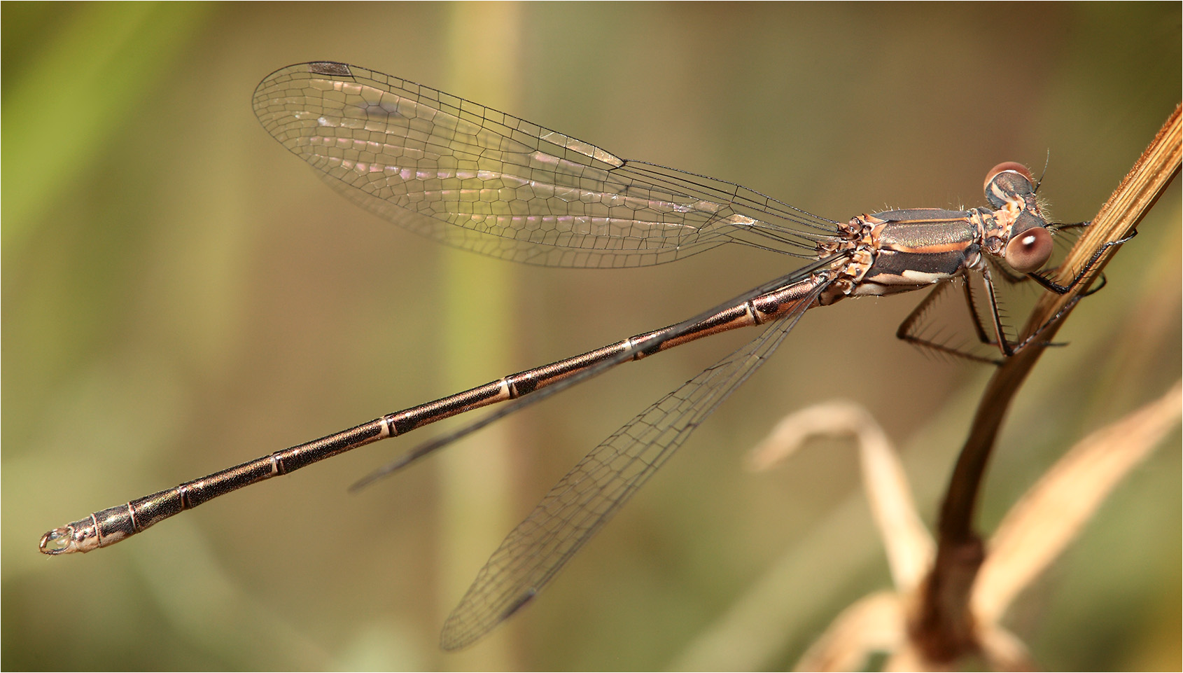
Spotted Spreadwing
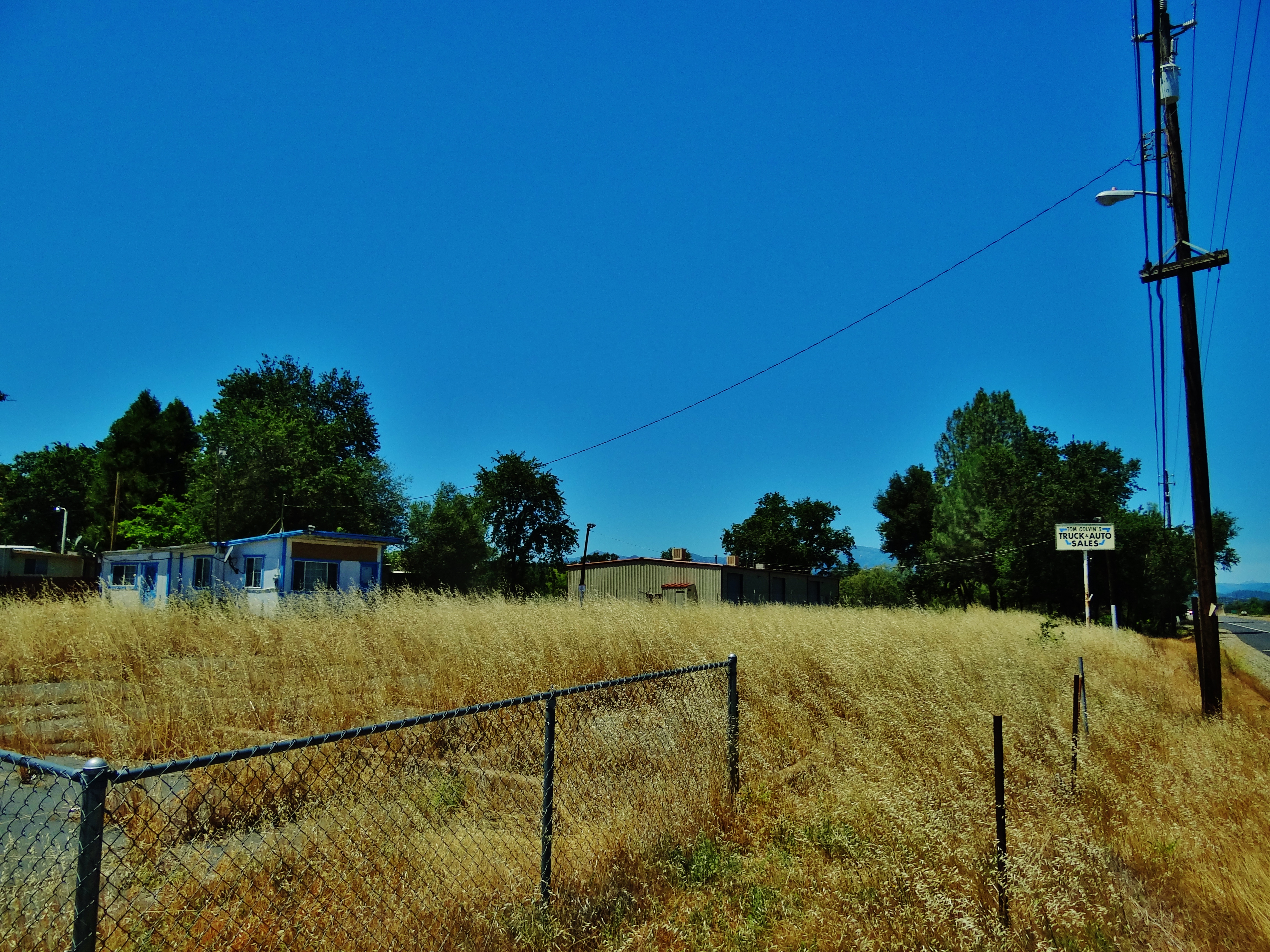
Tom Colvin's Used Cars & Trucks
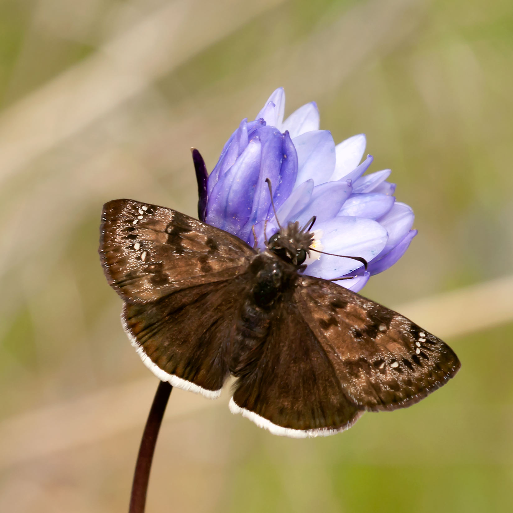
Mournful Duskywing (Erynnis tristis)

On the Road to Mt. Shasta
Anderson Aquaduct_03

Eastern Tailed Blue (Everes comyntas)
Black Spreadwing
Passing storm
Red Bluff 1989 015.jpg
Burney falls
San Francisco 2011
San Francisco 2011
Red Bluff 062.jpg
Topographic Map of Ponder Way, Cottonwood, CA, USA
Find elevation by address:

Places near Ponder Way, Cottonwood, CA, USA:
3035 Ponder Way
16622 Gas Point Rd
4821 Mandela Way
16574 Palm Ave
5691 Olive St
Happy Valley Rd, Anderson, CA, USA
17480 Palm Ave
Happy Valley
13711 Gas Point Rd
Lower Gas Point Rd, Cottonwood, CA, USA
6438 Heavenly Valley Ln
17625 Karin Ln
14850 Small Farms Rd
13149 Gas Point Rd
17693 Flowers Ln
14677 Small Farms Dr
16825 Benson Rd
15237 Cloverdale Rd
18440 Bella Oaks Dr
17225 Dapple Gray Rd
Recent Searches:
- Elevation of Elwyn Dr, Roanoke Rapids, NC, USA
- Elevation of Congressional Dr, Stevensville, MD, USA
- Elevation of Bellview Rd, McLean, VA, USA
- Elevation of Stage Island Rd, Chatham, MA, USA
- Elevation of Shibuya Scramble Crossing, 21 Udagawacho, Shibuya City, Tokyo -, Japan
- Elevation of Jadagoniai, Kaunas District Municipality, Lithuania
- Elevation of Pagonija rock, Kranto 7-oji g. 8"N, Kaunas, Lithuania
- Elevation of Co Rd 87, Jamestown, CO, USA
- Elevation of Tenjo, Cundinamarca, Colombia
- Elevation of Côte-des-Neiges, Montreal, QC H4A 3J6, Canada