Elevation of Lower Gas Point Rd, Cottonwood, CA, USA
Location: United States > California > Shasta County >
Longitude: -122.52756
Latitude: 40.414542
Elevation: 198m / 650feet
Barometric Pressure: 99KPa
Elevation Map:
Satellite Map:
Related Photos:

Going Nowhere

OZ (2)

Whatever it Takes

Bareback on Judd
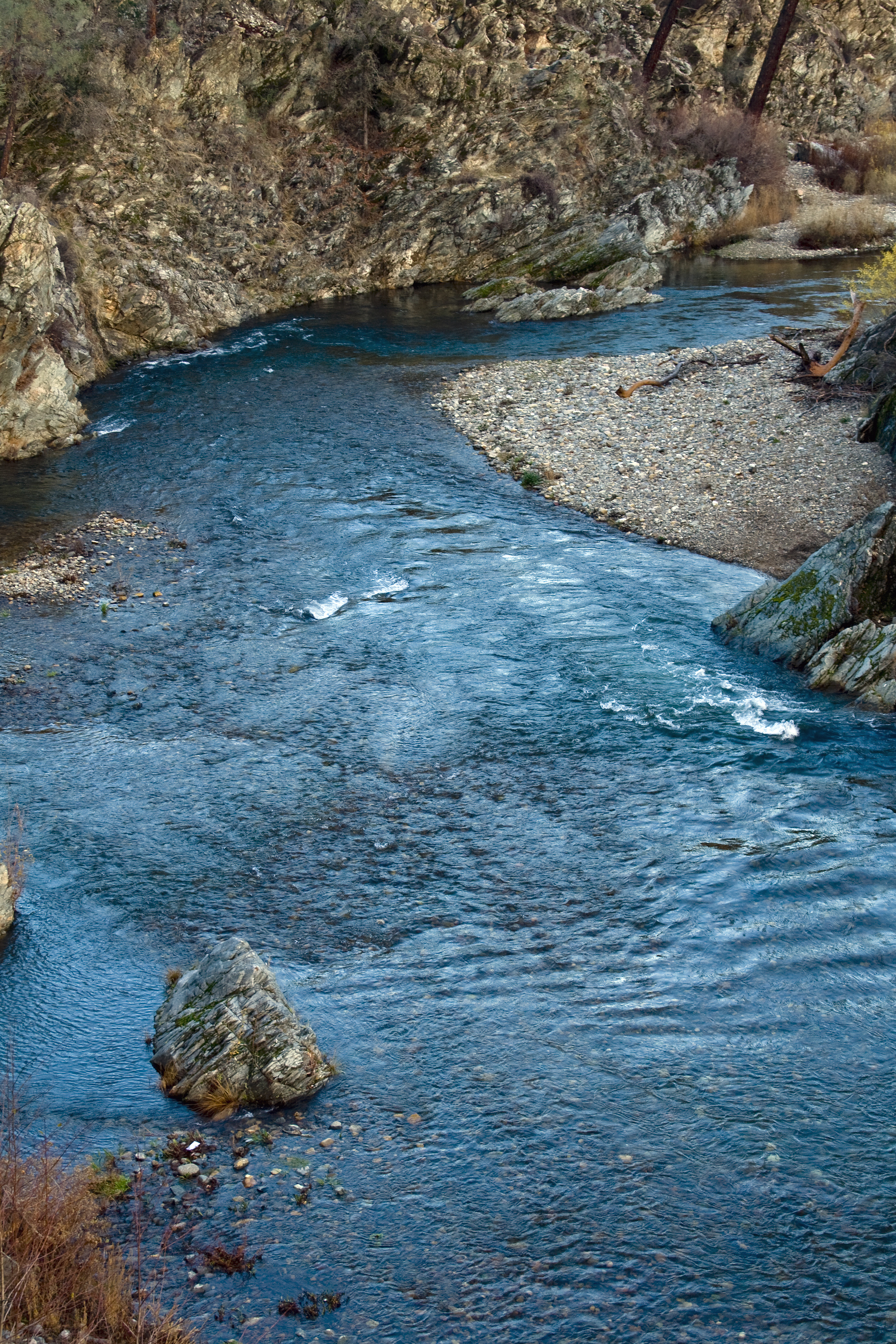
2/365 - Clear Creek
Clear Creek, near Redding
Clear Creek

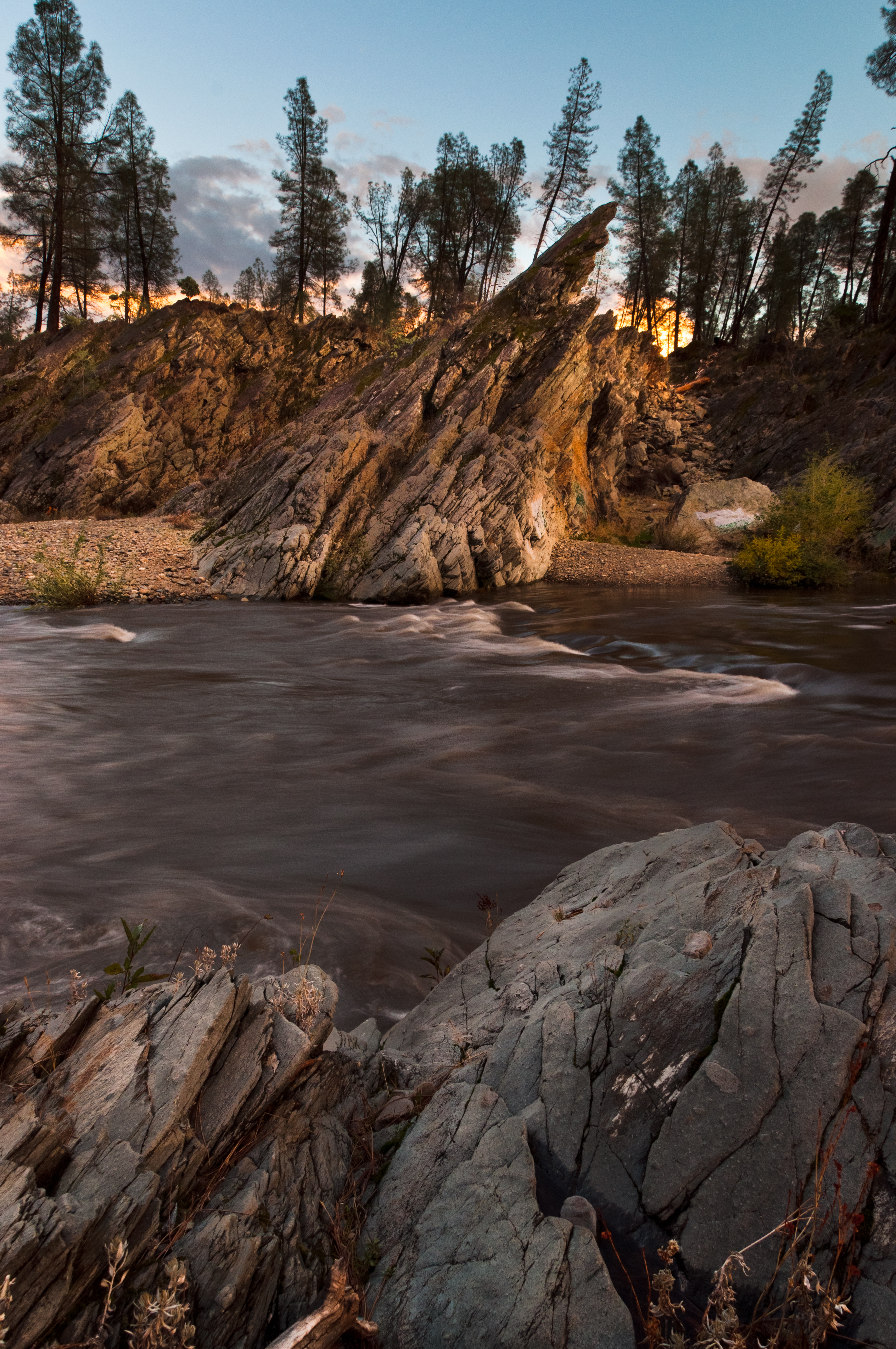
Devious Pines

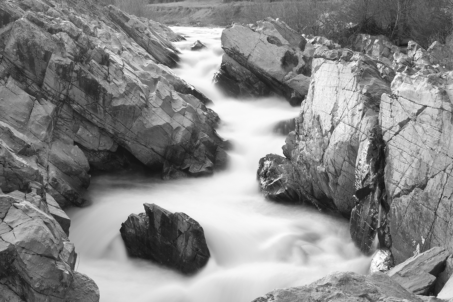
Colors of Piety Falls
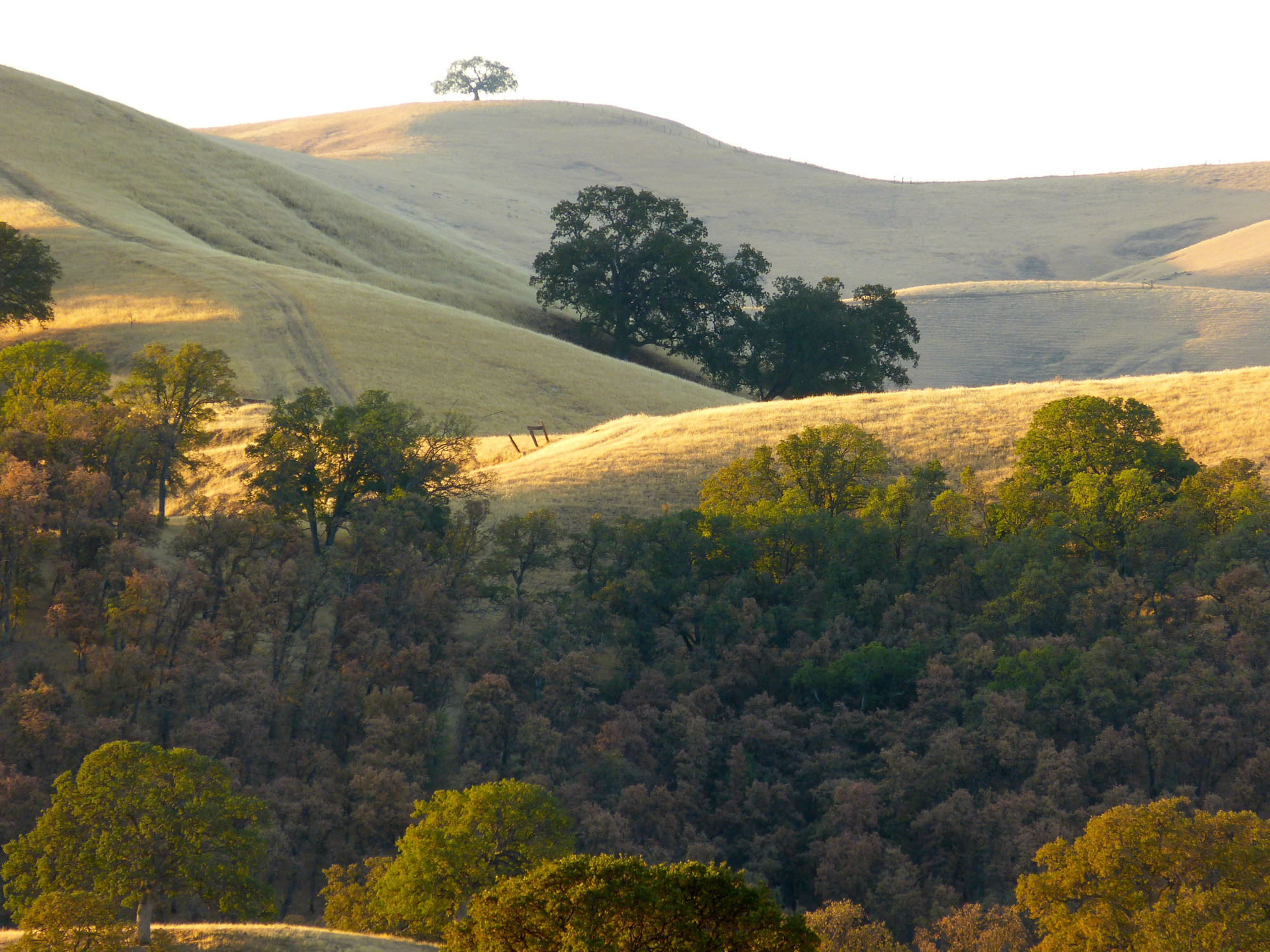
ROWS OF SUNLIGHT
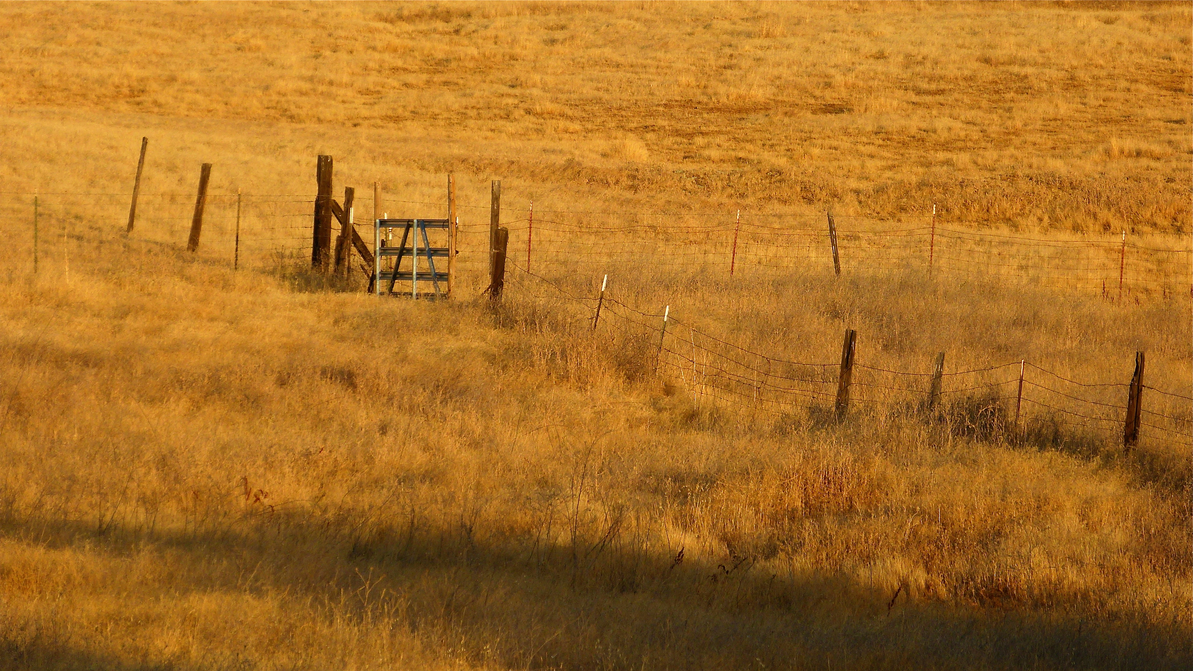
SECTION CORNER GATE
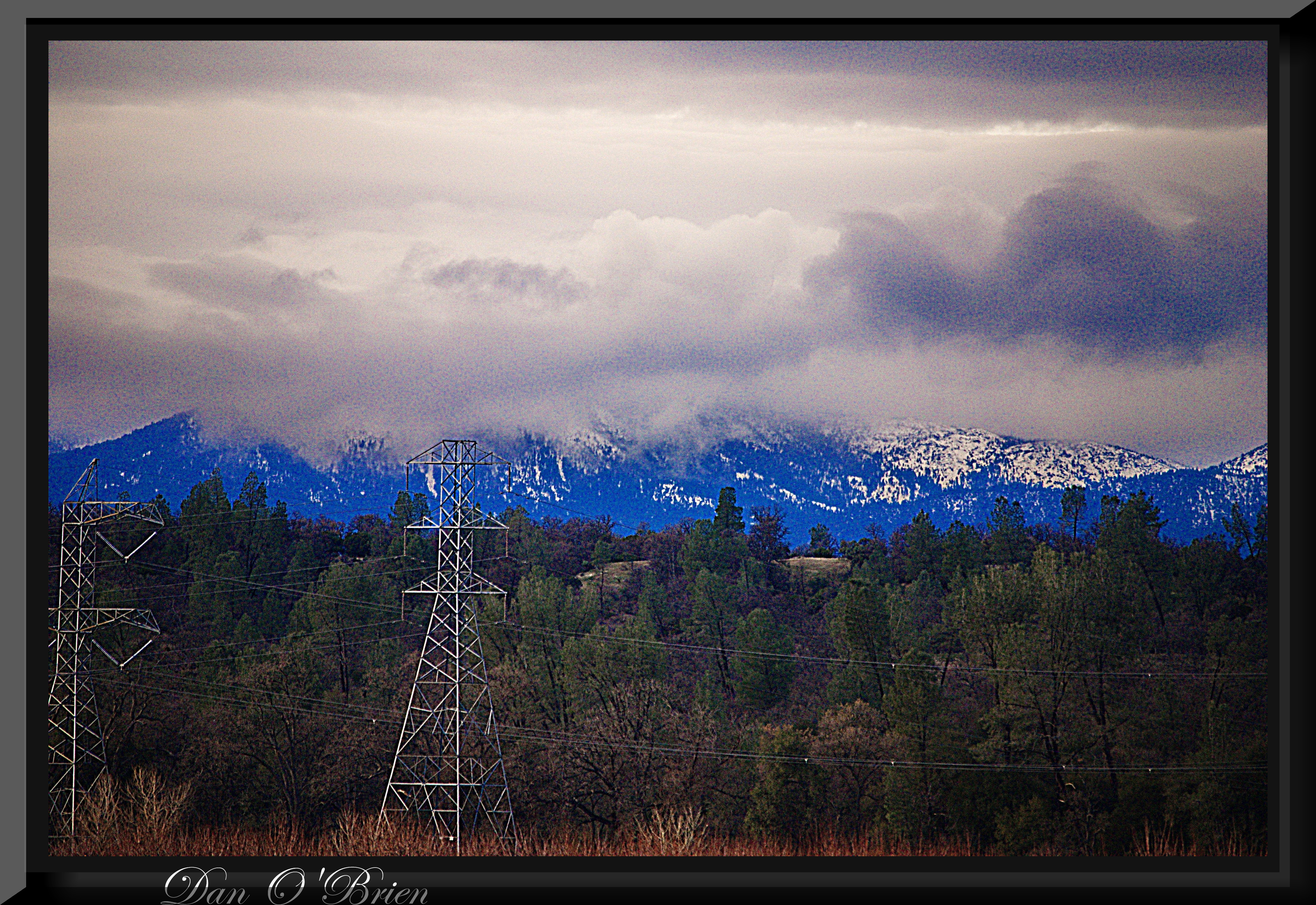
OZ (5)
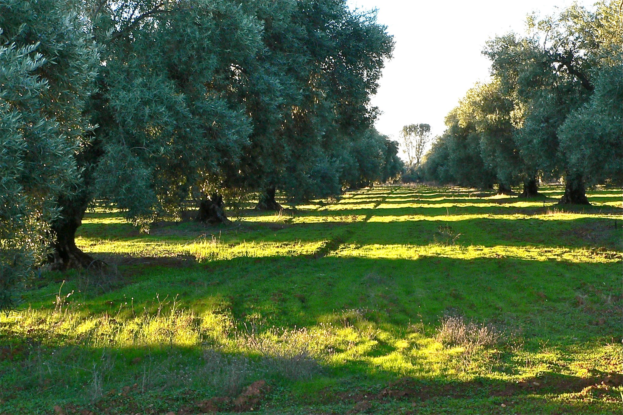
THE OAK LINE

Mournful Duskywing (Erynnis tristis)
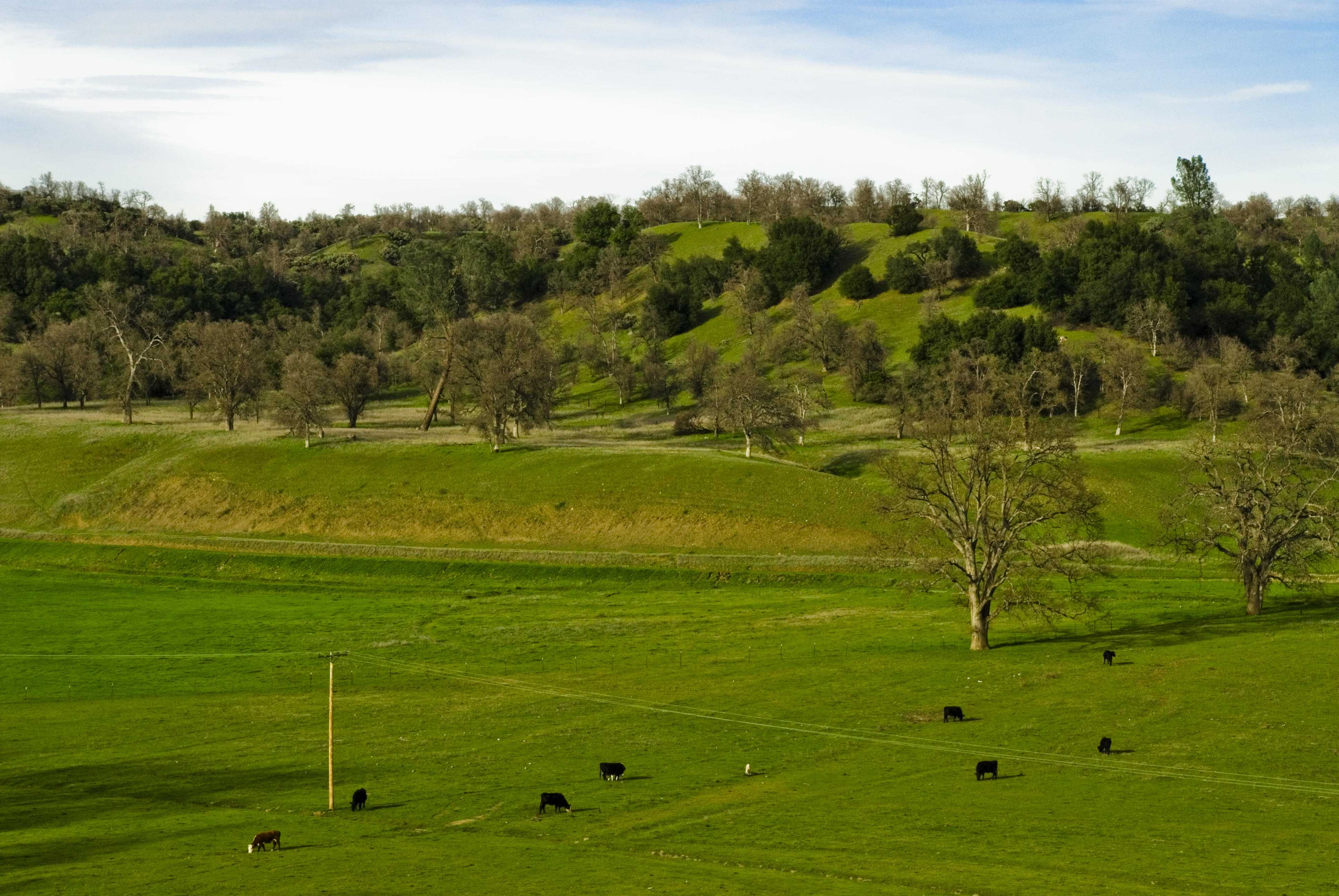
Cows "mowing" the field
Topographic Map of Lower Gas Point Rd, Cottonwood, CA, USA
Find elevation by address:

Places near Lower Gas Point Rd, Cottonwood, CA, USA:
13711 Gas Point Rd
13149 Gas Point Rd
14850 Small Farms Rd
14677 Small Farms Dr
15237 Cloverdale Rd
14824 Cloverdale Rd
14388 Cloverdale Rd
6050 Placer Rd
3035 Ponder Way
6438 Heavenly Valley Ln
3243 Ponder Way
16622 Gas Point Rd
Igo
16574 Palm Ave
15068 Diggins Way
15068 Diggins Way
15068 Diggins Way
13148 S Fork Rd
4821 Mandela Way
Castle View Lane
Recent Searches:
- Elevation of Corso Fratelli Cairoli, 35, Macerata MC, Italy
- Elevation of Tallevast Rd, Sarasota, FL, USA
- Elevation of 4th St E, Sonoma, CA, USA
- Elevation of Black Hollow Rd, Pennsdale, PA, USA
- Elevation of Oakland Ave, Williamsport, PA, USA
- Elevation of Pedrógão Grande, Portugal
- Elevation of Klee Dr, Martinsburg, WV, USA
- Elevation of Via Roma, Pieranica CR, Italy
- Elevation of Tavkvetili Mountain, Georgia
- Elevation of Hartfords Bluff Cir, Mt Pleasant, SC, USA