Elevation of Gas Point Rd, Igo, CA, USA
Location: United States > California > Igo >
Longitude: -122.52630
Latitude: 40.4368071
Elevation: 265m / 869feet
Barometric Pressure: 98KPa
Elevation Map:
Satellite Map:
Related Photos:

Whatever it Takes
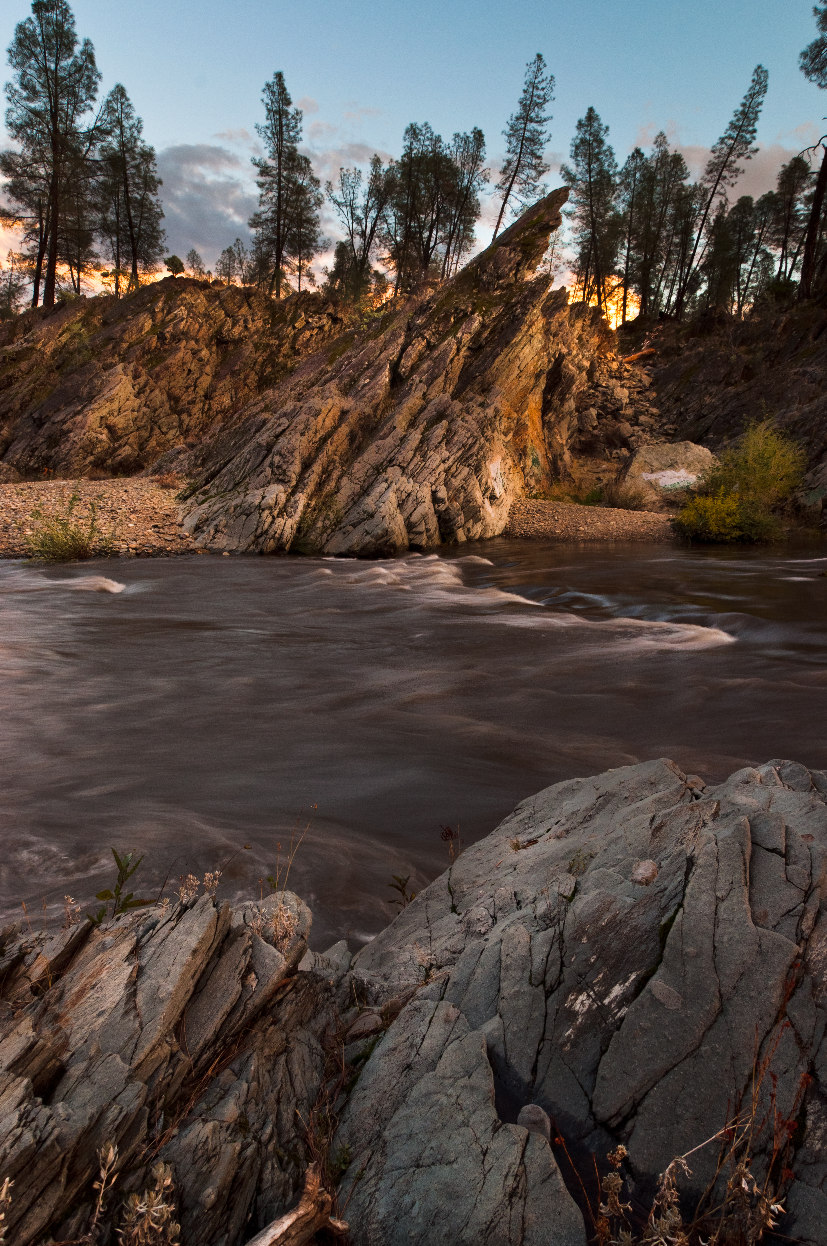
2/365 - Clear Creek
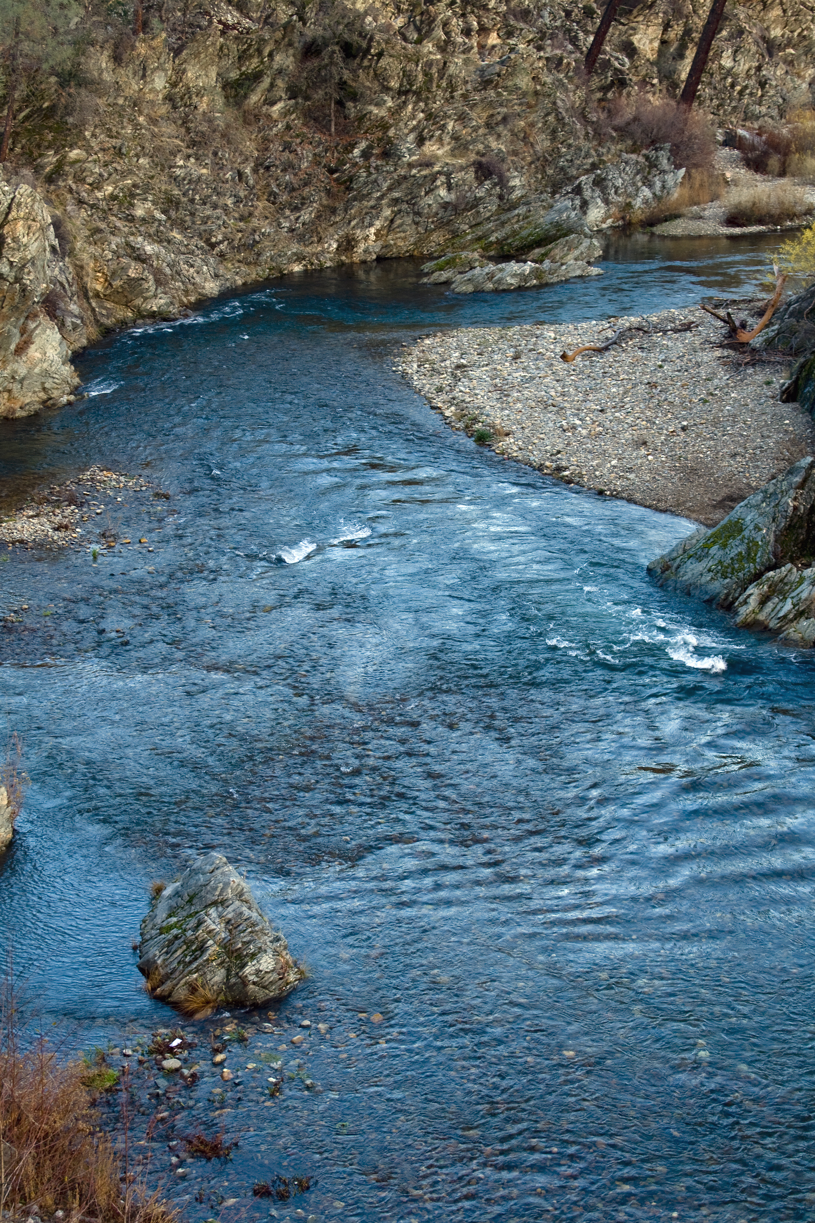
Clear Creek
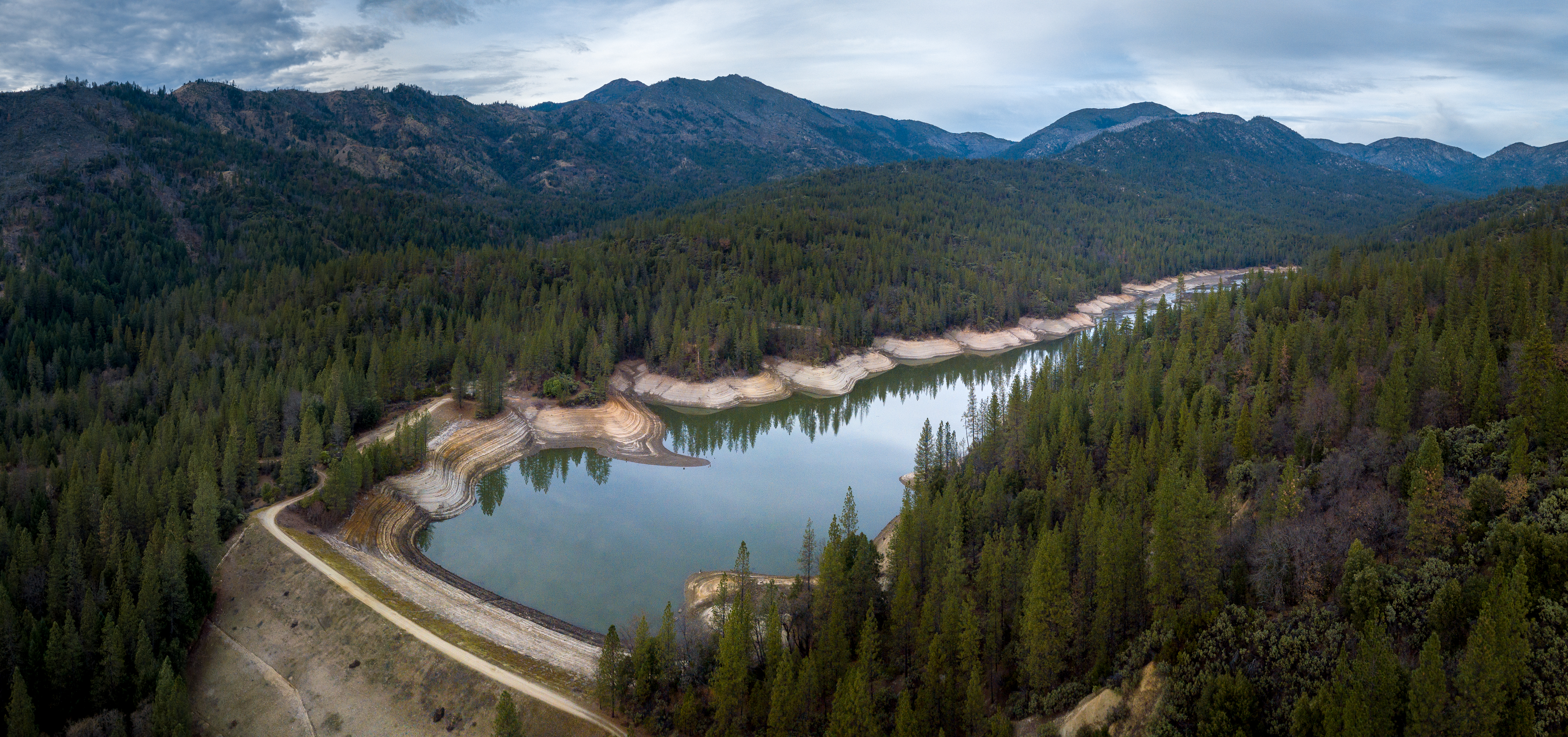
Rainbow Lake
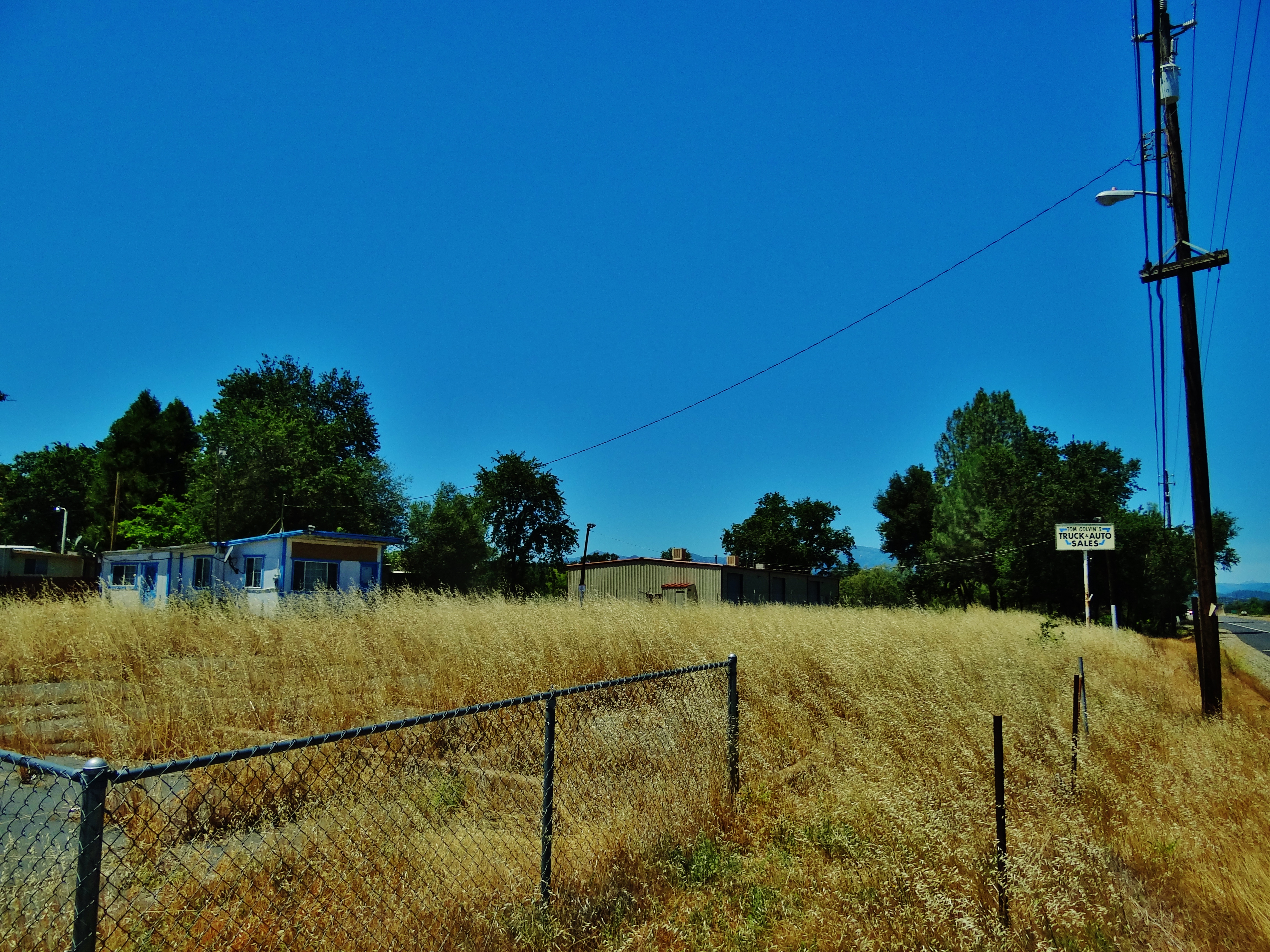
Tom Colvin's Used Cars & Trucks
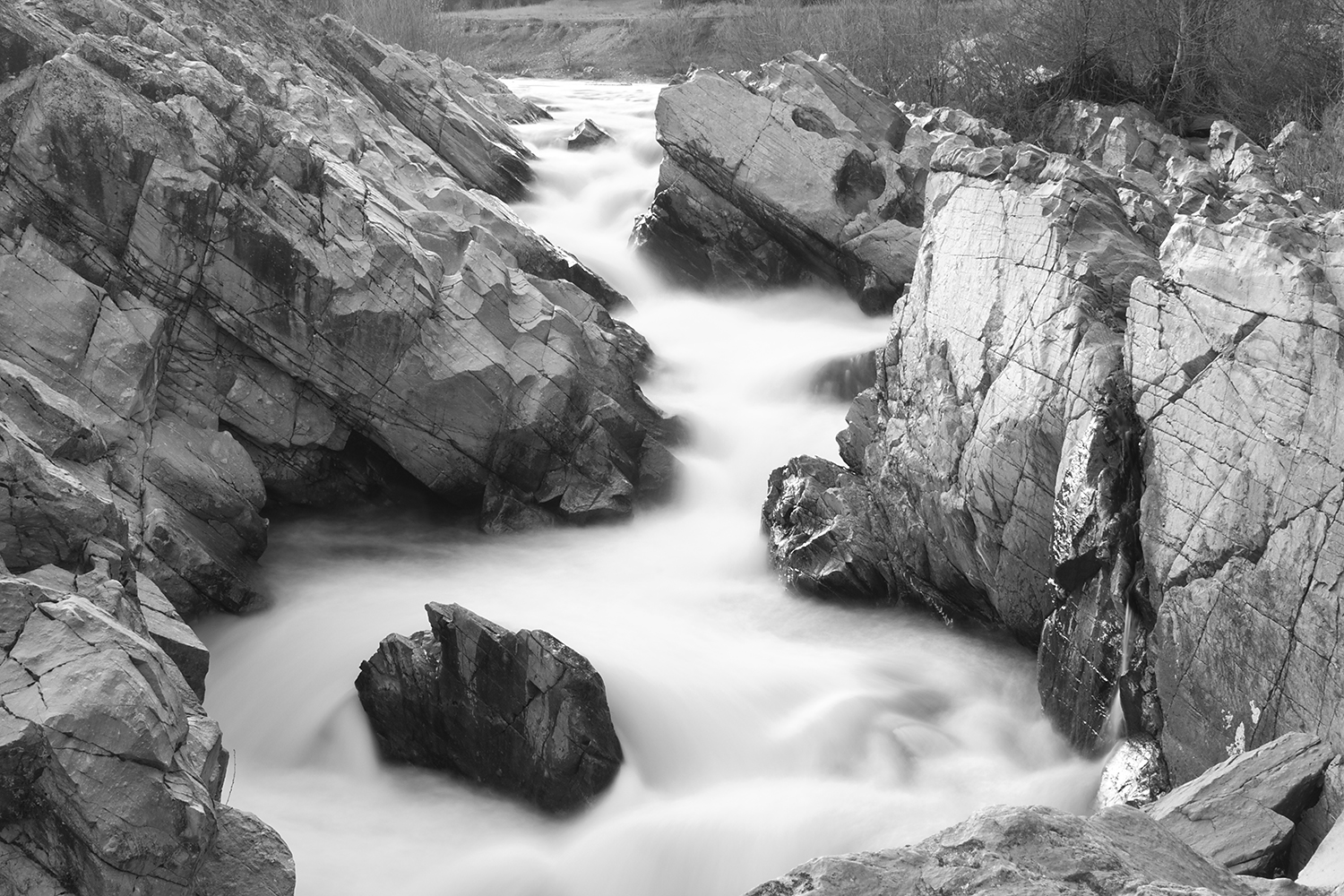
Clear Creek, near Redding

Devious Pines

Colors of Piety Falls
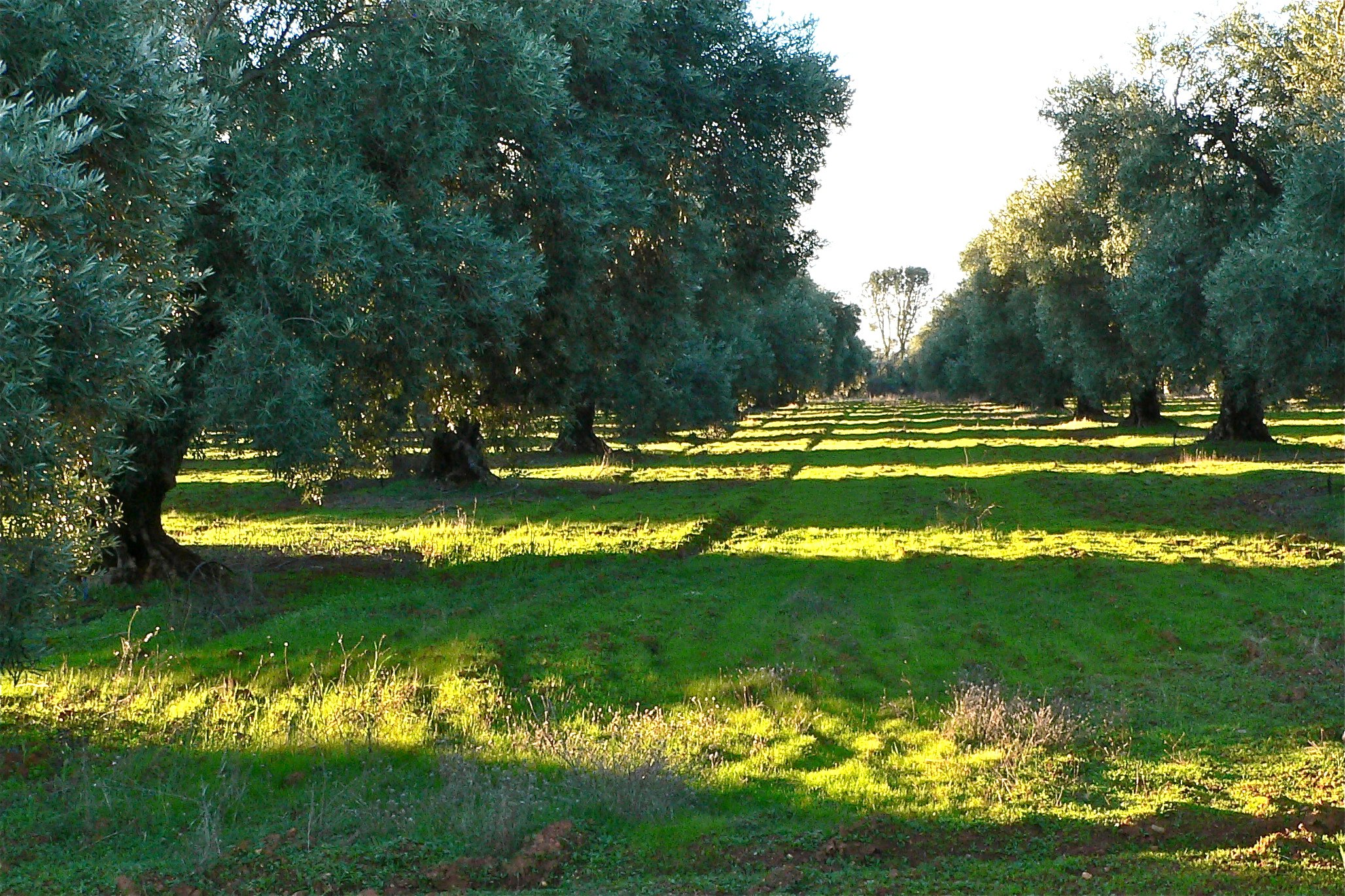
ROWS OF SUNLIGHT

Kanaka Peak Panorama
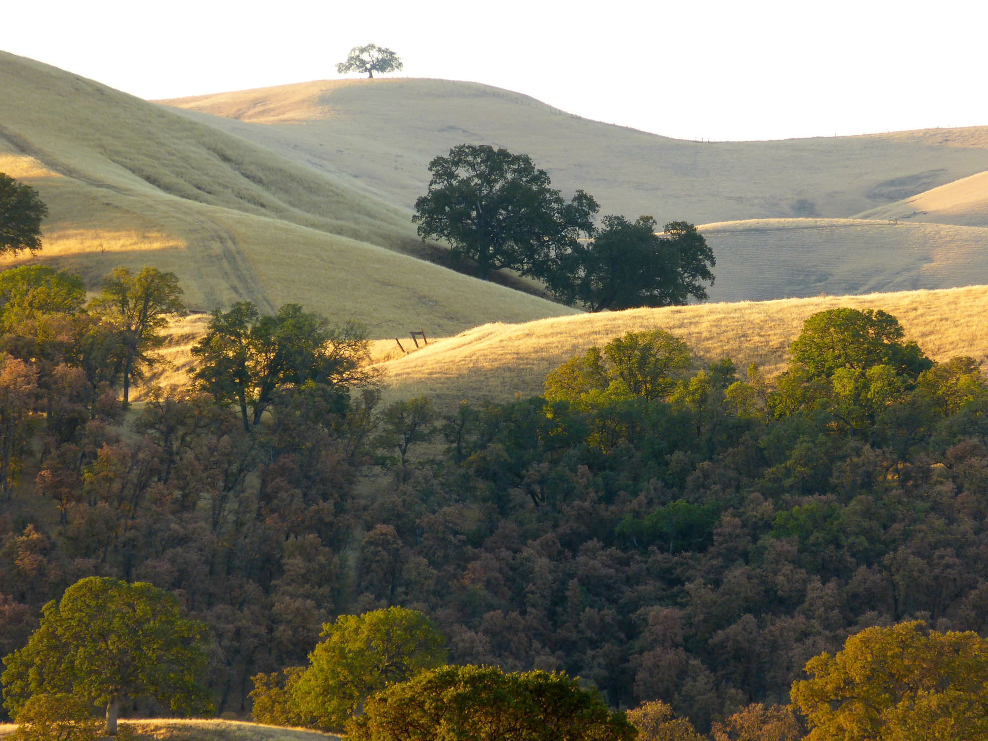
THE OAK LINE

Kanaka Peak Panorama

Kanaka Peak
Topographic Map of Gas Point Rd, Igo, CA, USA
Find elevation by address:

Places near Gas Point Rd, Igo, CA, USA:
14850 Small Farms Rd
14677 Small Farms Dr
15237 Cloverdale Rd
14824 Cloverdale Rd
14388 Cloverdale Rd
6050 Placer Rd
Igo
6438 Heavenly Valley Ln
15068 Diggins Way
15068 Diggins Way
15068 Diggins Way
Castle View Lane
8000 Muletown Rd
15140 Diggins Way
13148 S Fork Rd
16574 Palm Ave
15711 Texas Springs Rd
5691 Olive St
12102 Platina Rd
8550 Muletown Rd
Recent Searches:
- Elevation of Fernwood, Bradenton, FL, USA
- Elevation of Felindre, Swansea SA5 7LU, UK
- Elevation of Leyte Industrial Development Estate, Isabel, Leyte, Philippines
- Elevation of W Granada St, Tampa, FL, USA
- Elevation of Pykes Down, Ivybridge PL21 0BY, UK
- Elevation of Jalan Senandin, Lutong, Miri, Sarawak, Malaysia
- Elevation of Bilohirs'k
- Elevation of 30 Oak Lawn Dr, Barkhamsted, CT, USA
- Elevation of Luther Road, Luther Rd, Auburn, CA, USA
- Elevation of Unnamed Road, Respublika Severnaya Osetiya — Alaniya, Russia