Elevation of Colyer Springs Rd, Red Bluff, CA, USA
Location: United States > California > Tehama County > Red Bluff >
Longitude: -122.53438
Latitude: 40.060583
Elevation: 324m / 1063feet
Barometric Pressure: 97KPa
Elevation Map:
Satellite Map:
Related Photos:
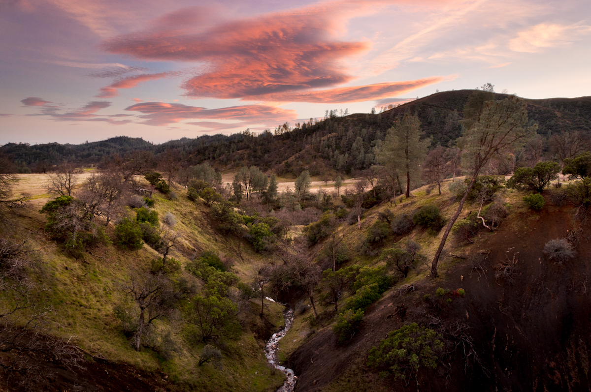
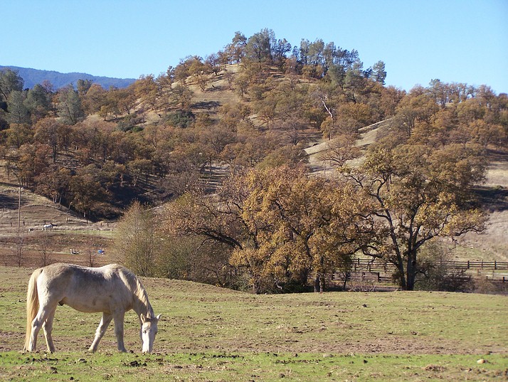
Colyear Springs Rd
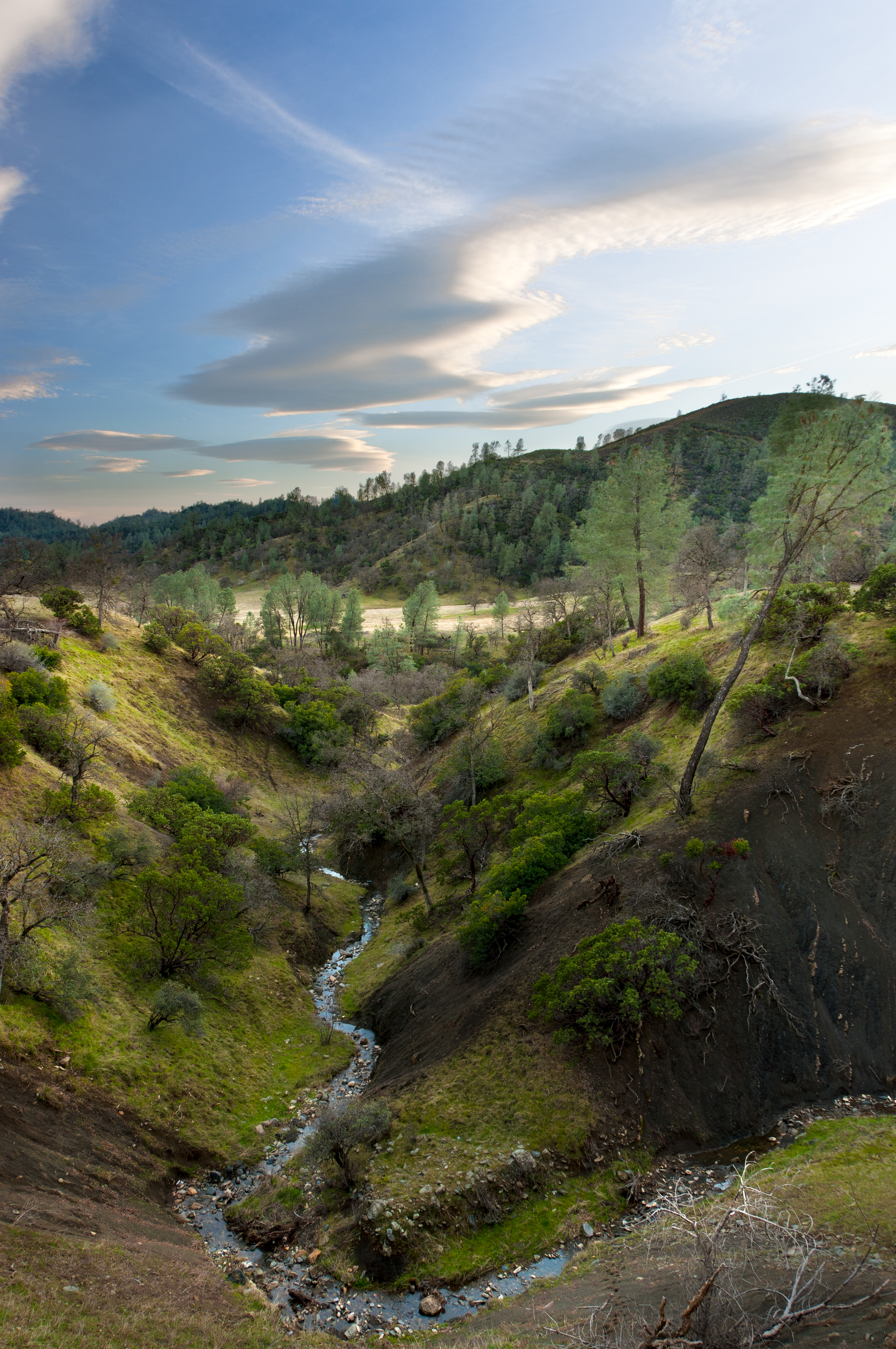
Untouched Beauty

Paskenta Hills (Happy Californian Cows)
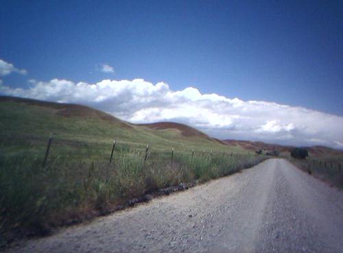
Middle of Nowhere
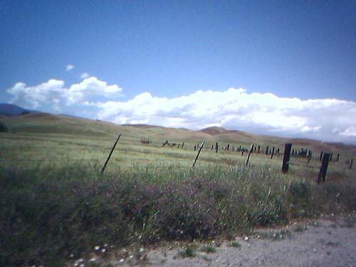
East of the Middle of Nowhere
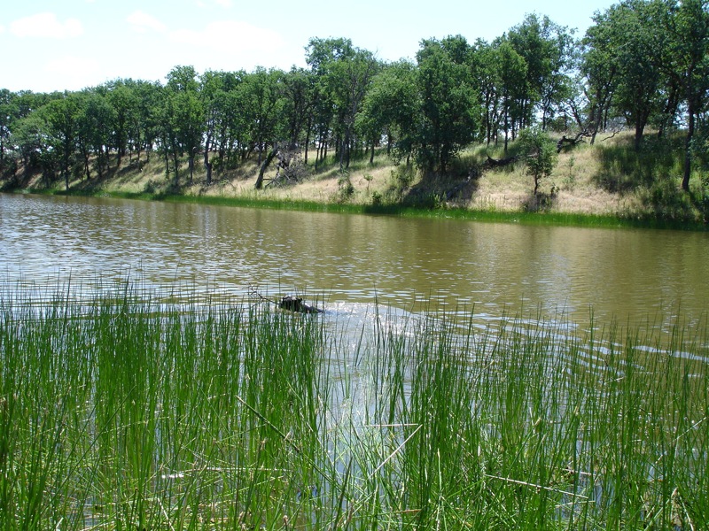
South Fork
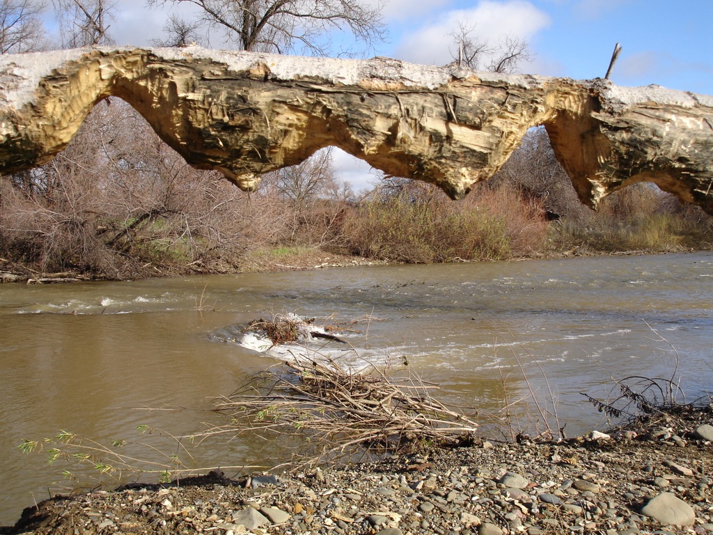
Beaver work
Boston Retriever
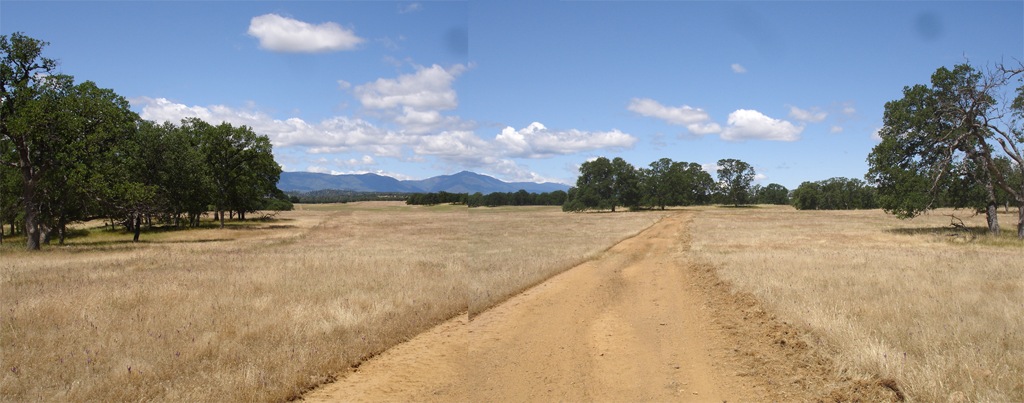
Elk Flat Panoramic

Golden Gate
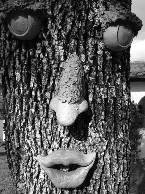
If he could speak, what would he say?

Northern Shrike D4A0828.jpg

Streptanthus drepanoides, Raglin Ridge

streptanthus drepanoides

En Route to Apple Event
_IJB1856-Edit

Small specimen

Be vewy vewy quiet...

Casting for the next victim

Jim about to land a fatty
"So here's how you operate this thing..."

Branding II
Topographic Map of Colyer Springs Rd, Red Bluff, CA, USA
Find elevation by address:

Places near Colyer Springs Rd, Red Bluff, CA, USA:
Colyer Springs Rd, Red Bluff, CA, USA
Pryor Rd, Red Bluff, CA, USA
High Flats Road
Amador Court
Rancho Tehama Reserve
Red Bank Rd, Red Bluff, CA, USA
Nirvana Ranch Rd, Red Bluff, CA, USA
Nirvana Ranch Rd, Red Bluff, CA, USA
Vestal Rd, Red Bluff, CA, USA
Red Bluff, CA, USA
15530 Paskenta Rd
Flournoy
Paskenta Rd, Corning, CA, USA
Paskenta Rd, Paskenta, CA, USA
Paskenta
Vestal Road
18555 Live Oak Rd
Whitlock Campground
16825 Benson Rd
Co Rd, Orland, CA, USA
Recent Searches:
- Elevation of Cavendish Rd, Harringay Ladder, London N4 1RR, UK
- Elevation of 1 Zion Park Blvd, Springdale, UT, USA
- Elevation of Ganderbal
- Elevation map of Konkan Division, Maharashtra, India
- Elevation of Netaji Nagar, Hallow Pul, Kurla, Mumbai, Maharashtra, India
- Elevation of Uralsk, Kazakhstan
- Elevation of 45- Kahana Dr, Honokaa, HI, USA
- Elevation of New Mexico 30, NM-30, Española, NM, USA
- Elevation of Santmyer Way, Charles Town, WV, USA
- Elevation of Riserva Naturale Lago di Montepulciano, Italy