Elevation of Colyer Springs Rd, Red Bluff, CA, USA
Location: United States > California > Tehama County > Red Bluff >
Longitude: -122.57201
Latitude: 40.088743
Elevation: 267m / 876feet
Barometric Pressure: 98KPa
Elevation Map:
Satellite Map:
Related Photos:
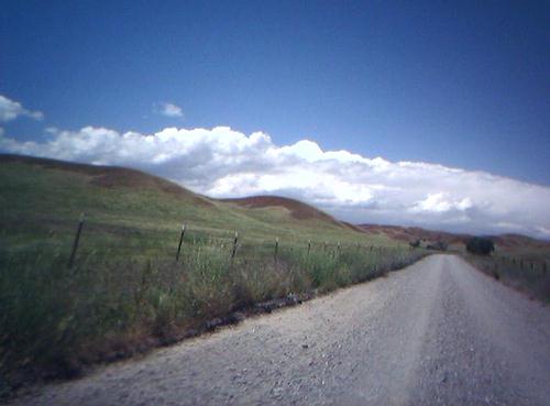
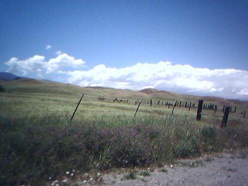
Colyear Springs Rd

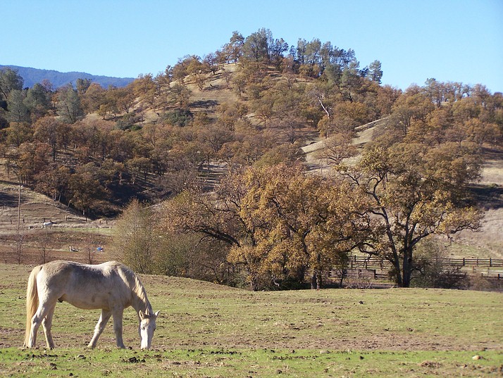
Paskenta Hills (Happy Californian Cows)
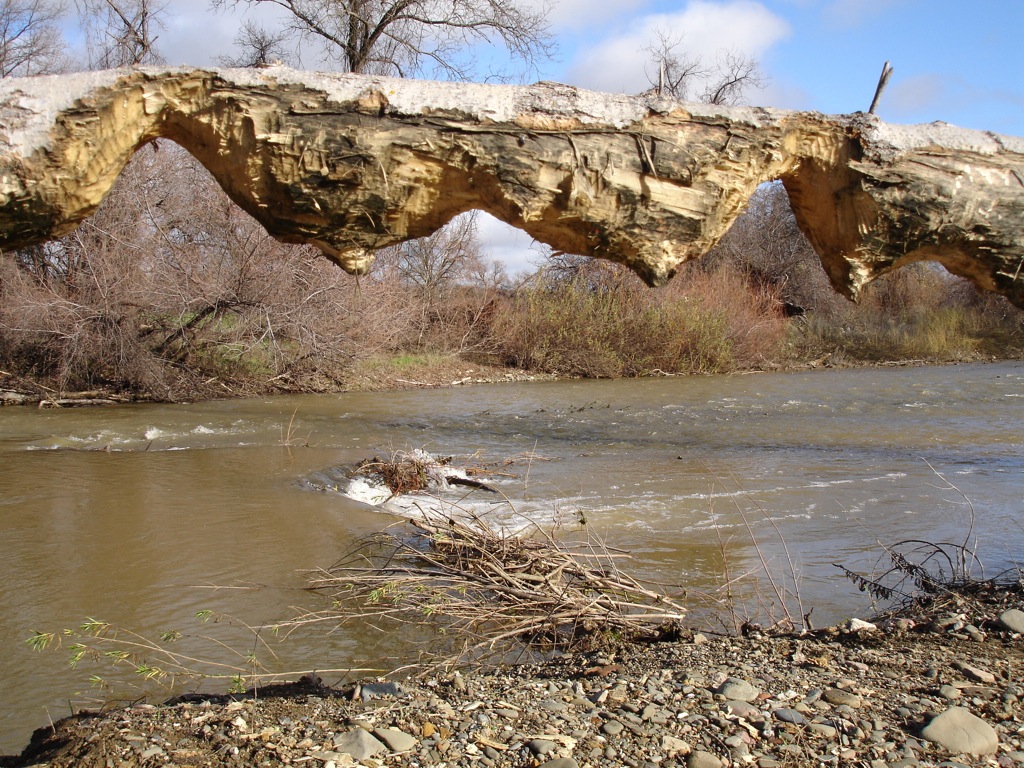
Beaver work
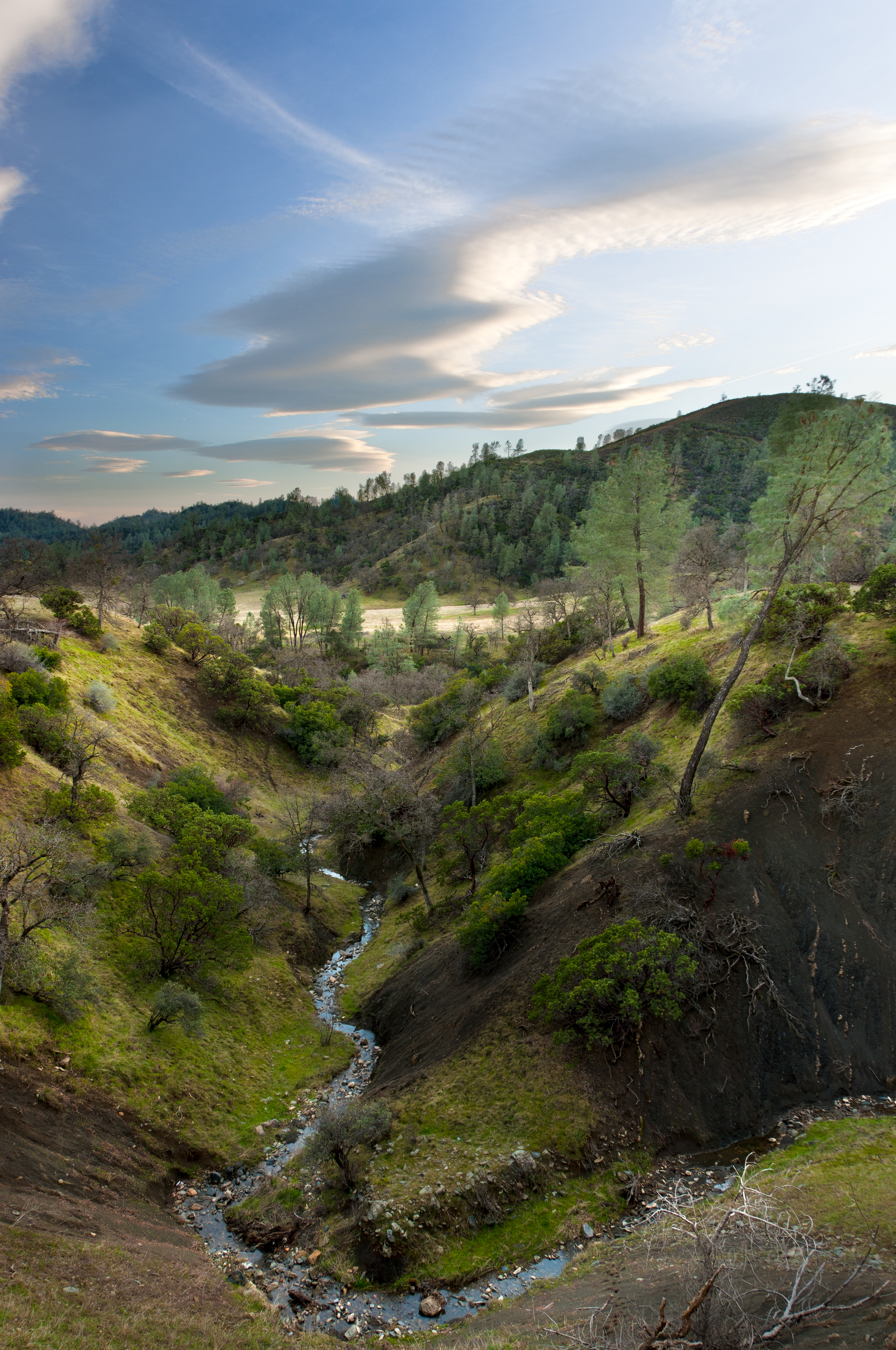
Untouched Beauty
Middle of Nowhere
East of the Middle of Nowhere
South Fork
Boston Retriever
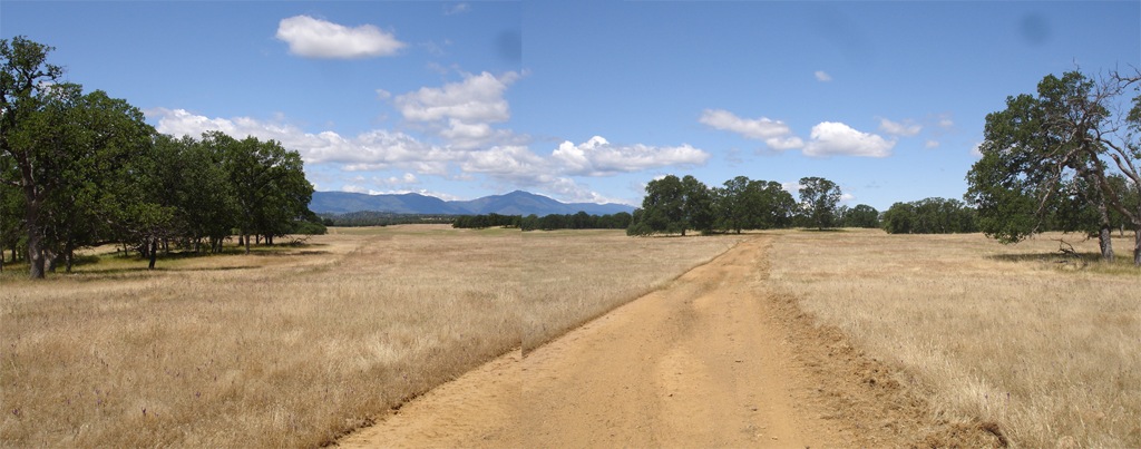
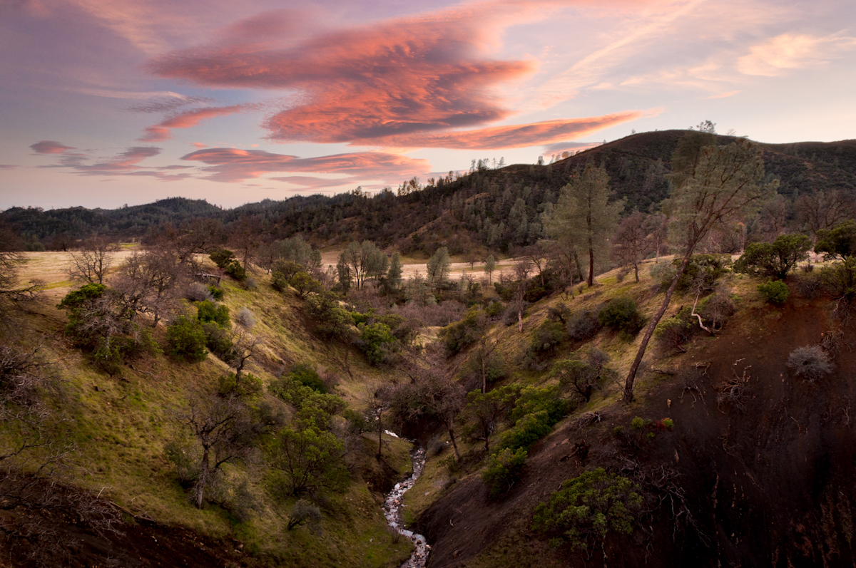
Elk Flat Panoramic

Golden Gate
Be vewy vewy quiet...
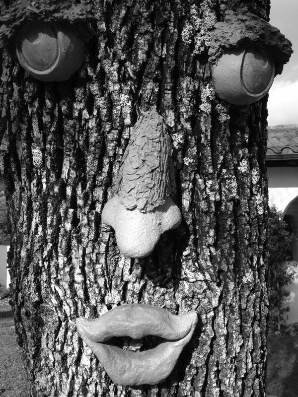
If he could speak, what would he say?
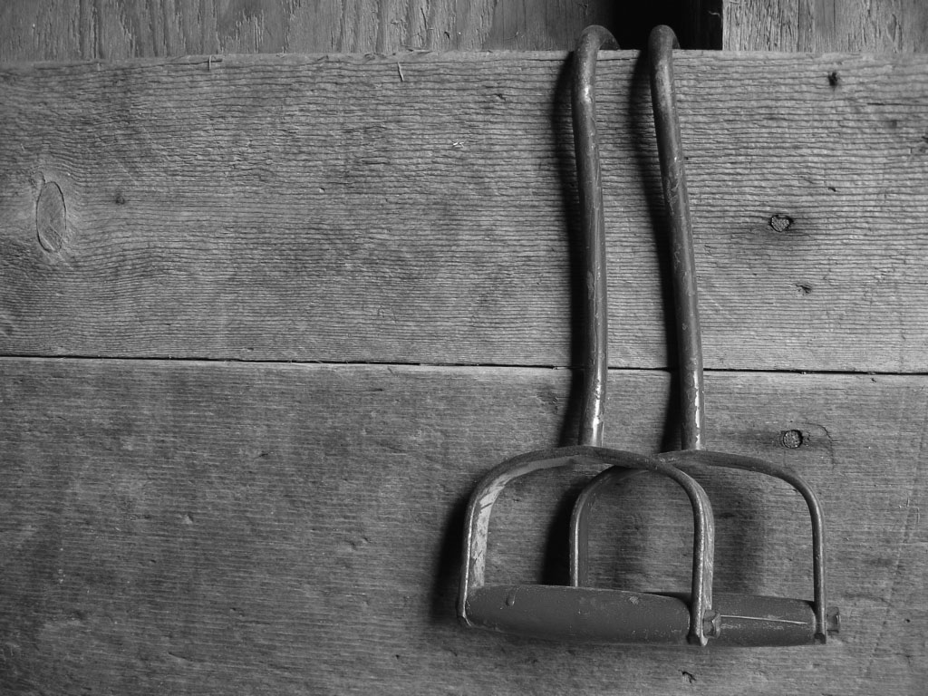
Hay Hooks

Nguyen dynasty

Streptanthus drepanoides, Raglin Ridge

streptanthus drepanoides

En Route to Apple Event

Small specimen

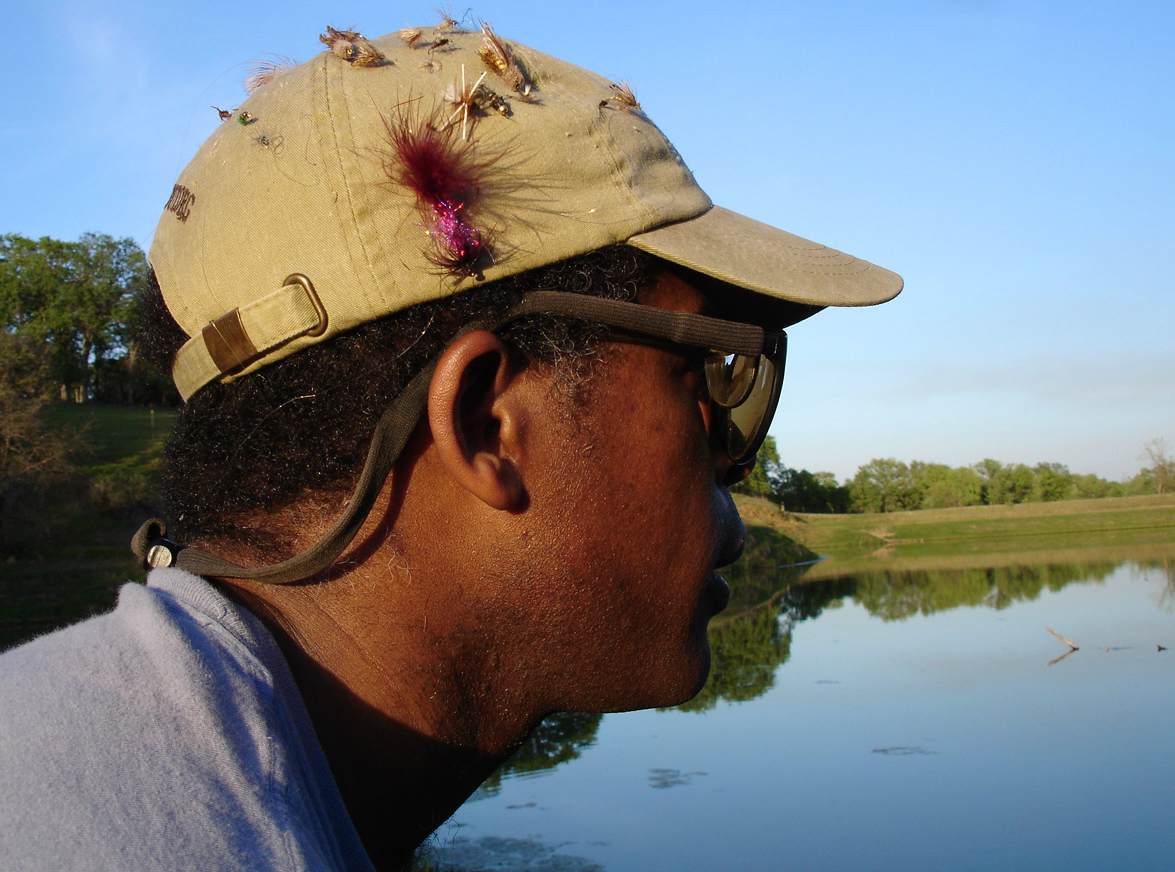
Casting for the next victim

Jim about to land a fatty
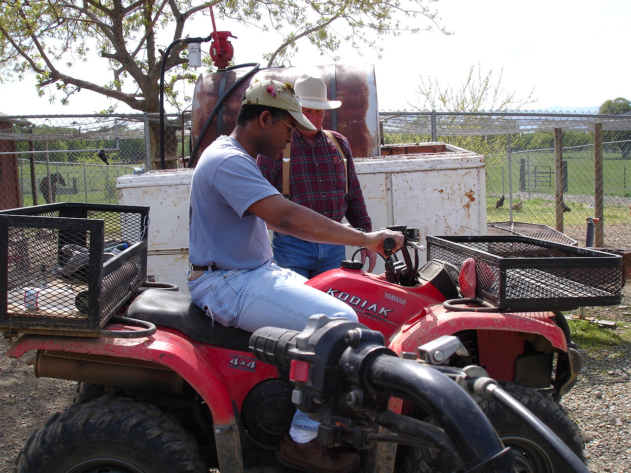
"So here's how you operate this thing..."

Branding II
Topographic Map of Colyer Springs Rd, Red Bluff, CA, USA
Find elevation by address:

Places near Colyer Springs Rd, Red Bluff, CA, USA:
Colyer Springs Rd, Red Bluff, CA, USA
Pryor Rd, Red Bluff, CA, USA
High Flats Road
Nirvana Ranch Rd, Red Bluff, CA, USA
Nirvana Ranch Rd, Red Bluff, CA, USA
Vestal Rd, Red Bluff, CA, USA
Red Bank Rd, Red Bluff, CA, USA
Amador Court
Rancho Tehama Reserve
Vestal Road
Red Bluff, CA, USA
15530 Paskenta Rd
Whitlock Campground
Paskenta
Paskenta Rd, Paskenta, CA, USA
Flournoy
Paskenta Rd, Corning, CA, USA
18555 Live Oak Rd
Saddle Camp Campground
16825 Benson Rd
Recent Searches:
- Elevation of Falling Spring Rd, Clyde, NC, USA
- Elevation of Kingsfield St, Castle Rock, CO, USA
- Elevation of AMELIA CT HSE, VA, USA
- Elevation of Abbey Dr, Virginia Beach, VA, USA
- Elevation of Brooks Lp, Spearfish, SD, USA
- Elevation of Panther Dr, Maggie Valley, NC, USA
- Elevation of Jais St - Wadi Shehah - Ras al Khaimah - United Arab Emirates
- Elevation of Shawnee Avenue, Shawnee Ave, Easton, PA, USA
- Elevation of Scenic Shore Dr, Kingwood Area, TX, USA
- Elevation of W Prive Cir, Delray Beach, FL, USA