Elevation of Red Bank Rd, Red Bluff, CA, USA
Location: United States > California > Tehama County > Red Bluff >
Longitude: -122.44517
Latitude: 40.102187
Elevation: 162m / 531feet
Barometric Pressure: 99KPa
Elevation Map:
Satellite Map:
Related Photos:

PIX-IMG_8820HDTV-Test-g

PIX-IMG_8820HDTV-Test-g
Colyear Springs Rd
Untouched Beauty
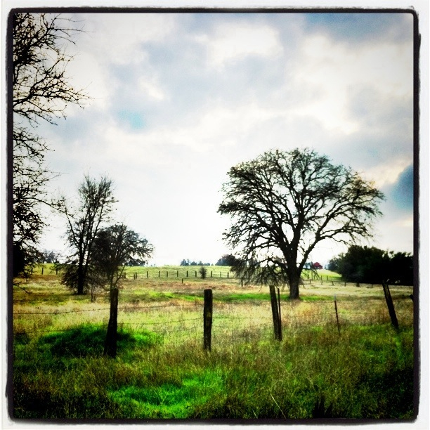
Middle of Nowhere
East of the Middle of Nowhere
South Fork

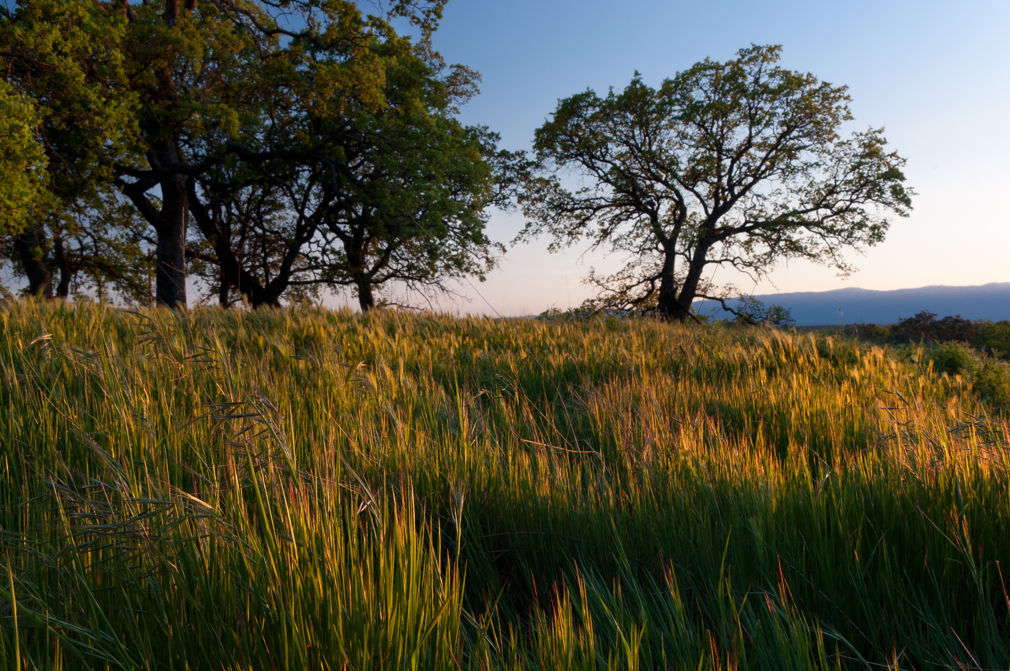
Oaks of Gold

Red Bluff Sunset (Ive got a feeling)
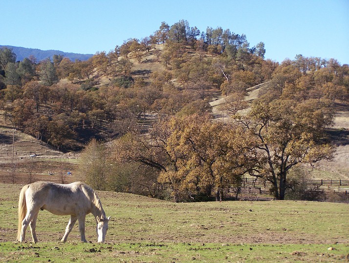
The Ranch
Spring!
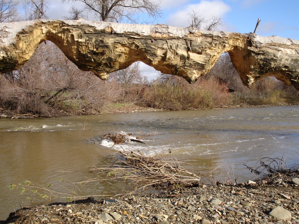
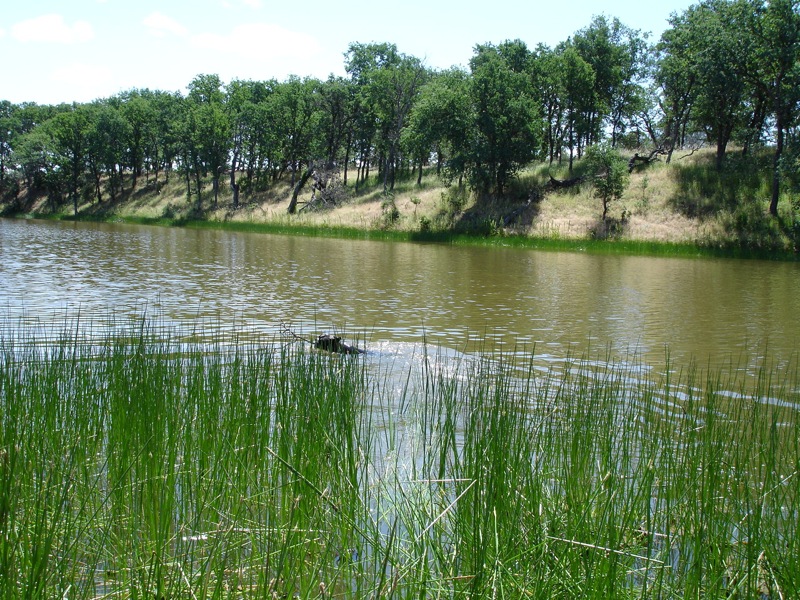
Beaver work
Boston Retriever
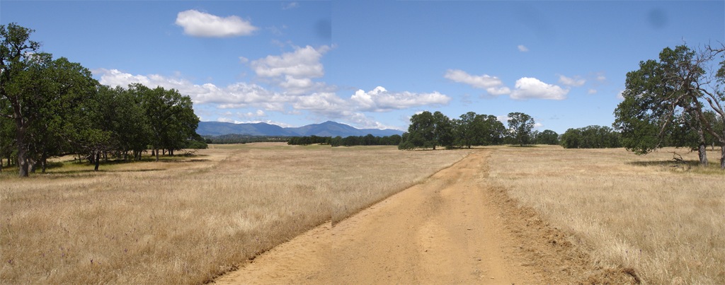
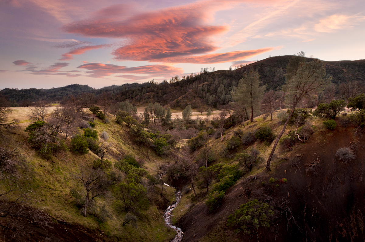
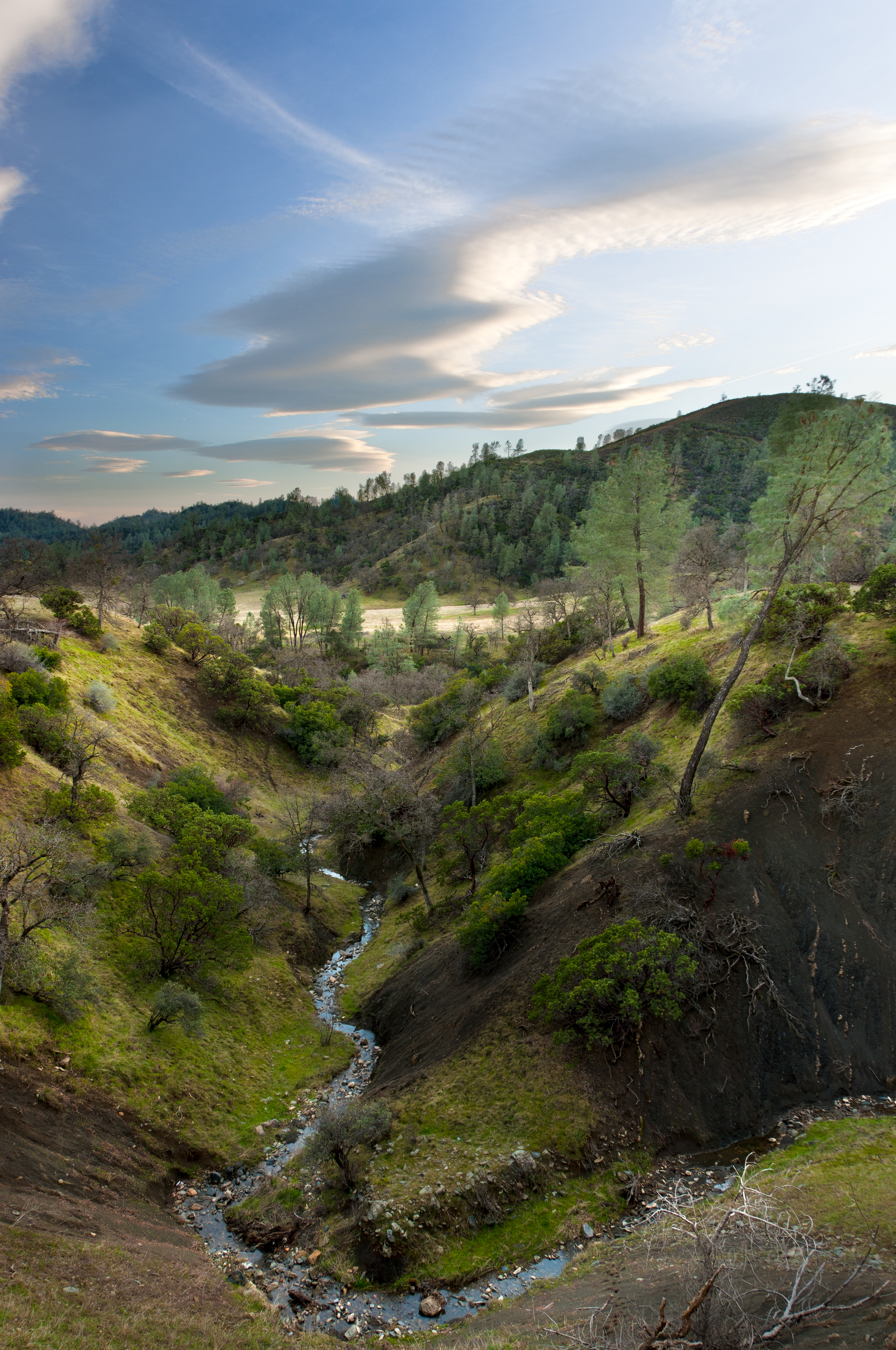
Elk Flat Panoramic
Topographic Map of Red Bank Rd, Red Bluff, CA, USA
Find elevation by address:

Places near Red Bank Rd, Red Bluff, CA, USA:
Red Bluff, CA, USA
Amador Court
Colyer Springs Rd, Red Bluff, CA, USA
Rancho Tehama Reserve
18555 Live Oak Rd
Colyer Springs Rd, Red Bluff, CA, USA
Vestal Rd, Red Bluff, CA, USA
Pryor Rd, Red Bluff, CA, USA
High Flats Road
Paskenta Rd, Corning, CA, USA
Flournoy
15530 Paskenta Rd
16825 Benson Rd
17225 Dapple Gray Rd
Nirvana Ranch Rd, Red Bluff, CA, USA
Vestal Road
Nirvana Ranch Rd, Red Bluff, CA, USA
Paskenta Rd, Paskenta, CA, USA
Paskenta
18440 Bella Oaks Dr
Recent Searches:
- Elevation of Fern Rd, Whitmore, CA, USA
- Elevation of 62 Abbey St, Marshfield, MA, USA
- Elevation of Fernwood, Bradenton, FL, USA
- Elevation of Felindre, Swansea SA5 7LU, UK
- Elevation of Leyte Industrial Development Estate, Isabel, Leyte, Philippines
- Elevation of W Granada St, Tampa, FL, USA
- Elevation of Pykes Down, Ivybridge PL21 0BY, UK
- Elevation of Jalan Senandin, Lutong, Miri, Sarawak, Malaysia
- Elevation of Bilohirs'k
- Elevation of 30 Oak Lawn Dr, Barkhamsted, CT, USA